The best mountain hikes in Naturpark Hohe Mark - Westmünsterland
4.0
(2)
3
hikers
4
hikes
Mountaineering routes in Naturpark Hohe Mark - Westmünsterland traverse a varied landscape where the Münsterland, Lower Rhine, and Ruhr regions converge. The terrain features extensive, often hilly, forested areas like the Haard and Hohe Mark, alongside lively park landscapes with meadows and hedgerows. River systems such as the Stever and Lippe, with their protected floodplains, also characterize the region. While not featuring high alpine peaks, the area offers elevated views and diverse natural experiences through its varied topography.
Best mountaineering…
Last updated: May 26, 2026
5.0
(1)
2
hikers
18.4km
04:50
140m
140m
Moderate mountaineering route. Good fitness required. Mostly accessible paths. Sure-footedness required.
6.22km
01:43
100m
100m
Easy mountaineering route. Great for any fitness level. Easily-accessible paths. Suitable for all skill levels.

Sign up for free
3.0
(1)
1
hikers
8.67km
02:11
10m
10m
Moderate mountaineering route. Good fitness required. Easily-accessible paths. Suitable for all skill levels.
5.21km
01:21
30m
30m
Easy mountaineering route. Great for any fitness level. Easily-accessible paths. Suitable for all skill levels.
Our route recommendations are based on thousands of hikes, rides, and runs completed by other people on komoot.
Start today with a free account
Your next adventure awaits.
Login or Signup
Popular around Naturpark Hohe Mark - Westmünsterland
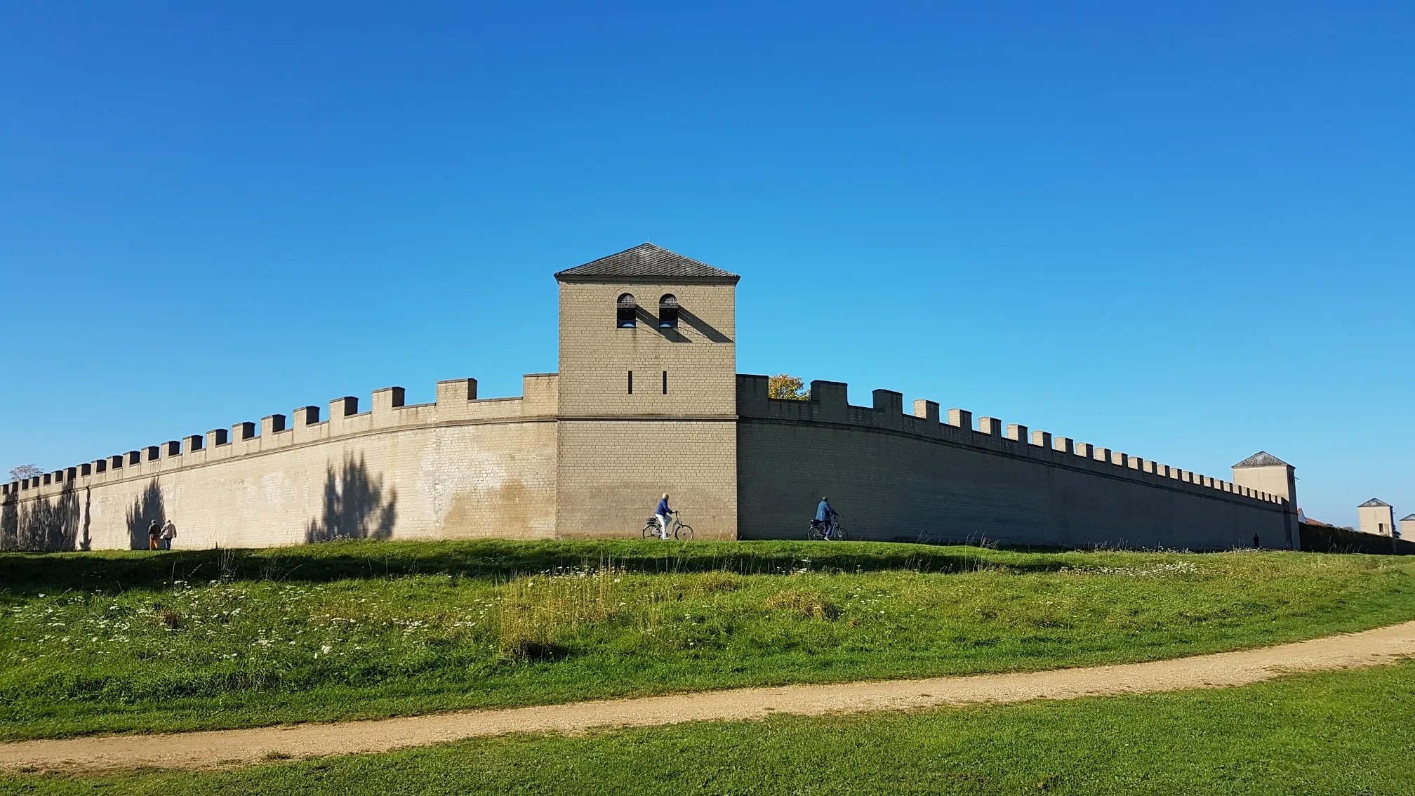
Römer‑Lippe Route – Water and history – 6 days
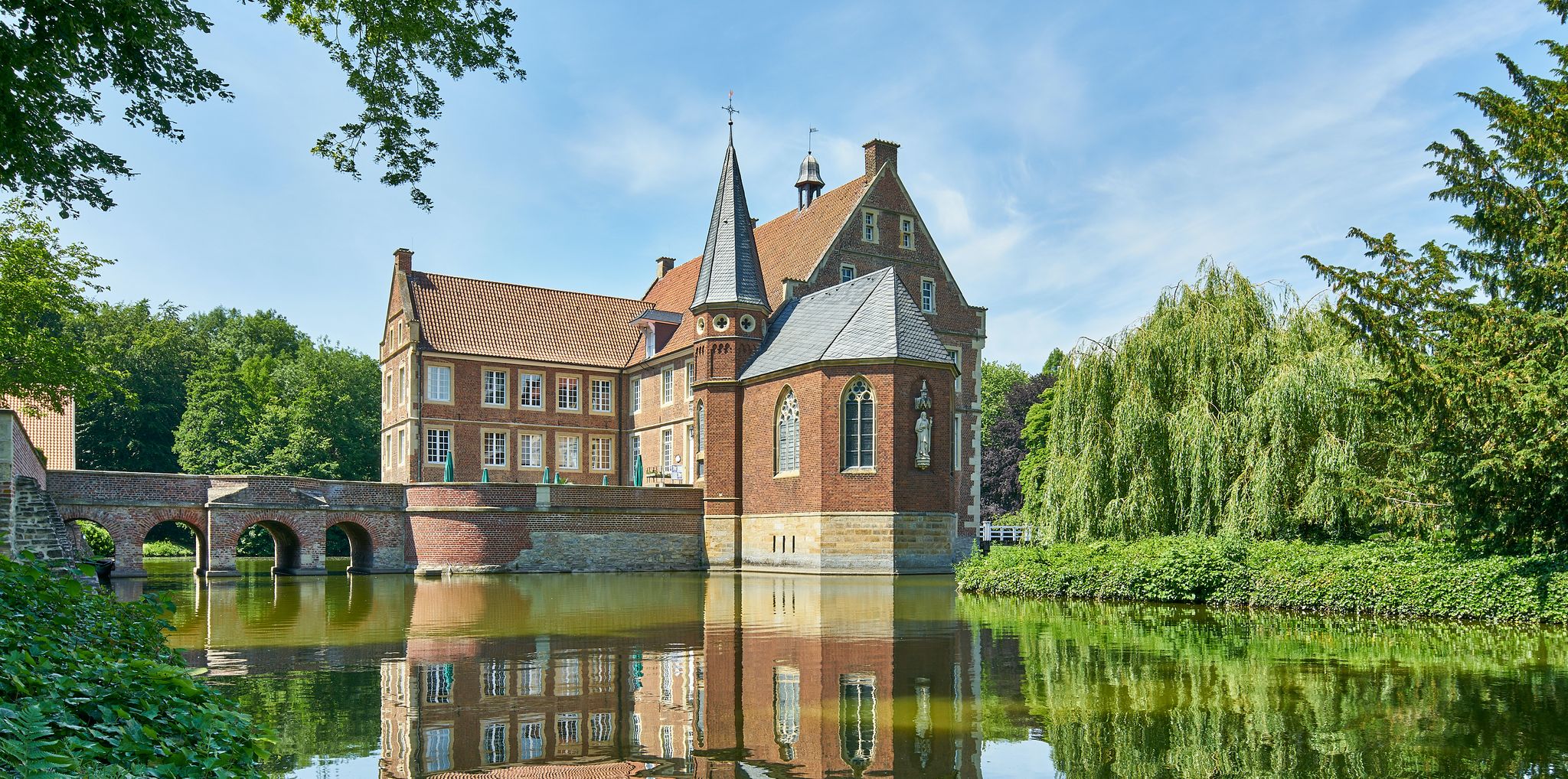
100 Castles Route – Discover the historical treasures of Münsterland by bike
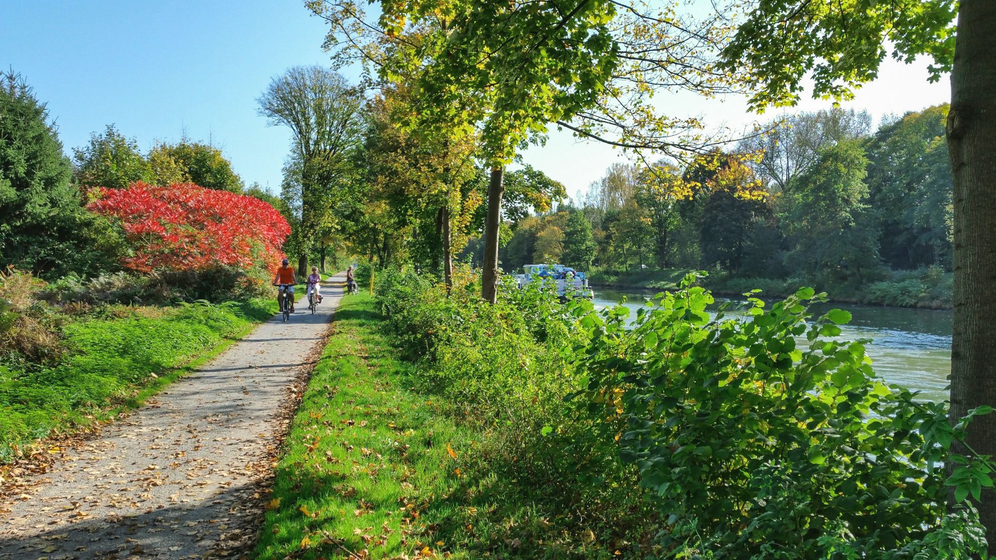
Römer‑Lippe Route – Water & history, 6 days
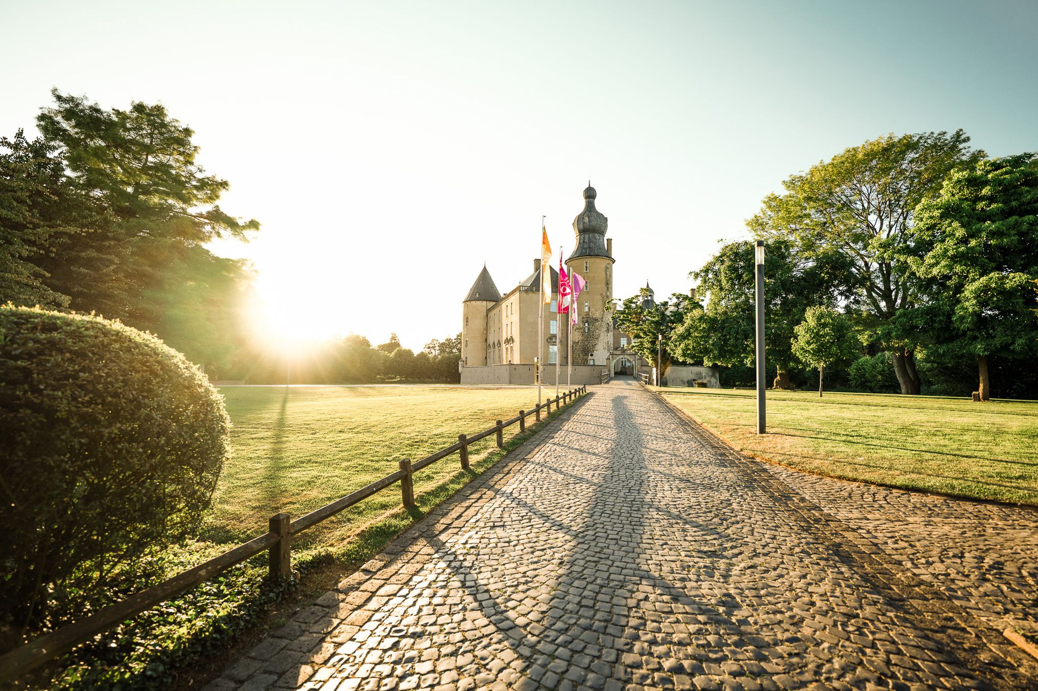
Castles, wild horses and lots of nature – cycling around Reken
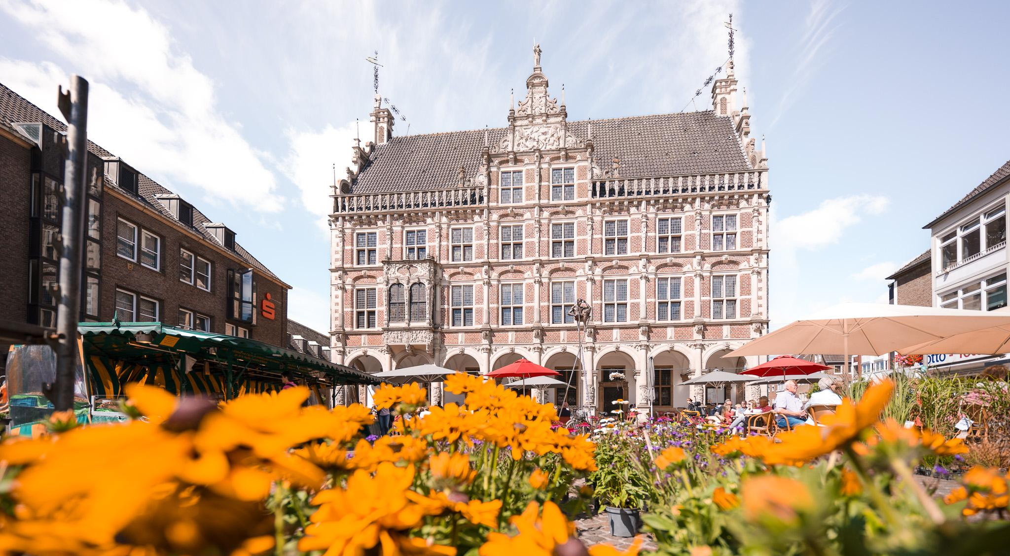
Of castles and smugglers – the Bocholt Star Tours
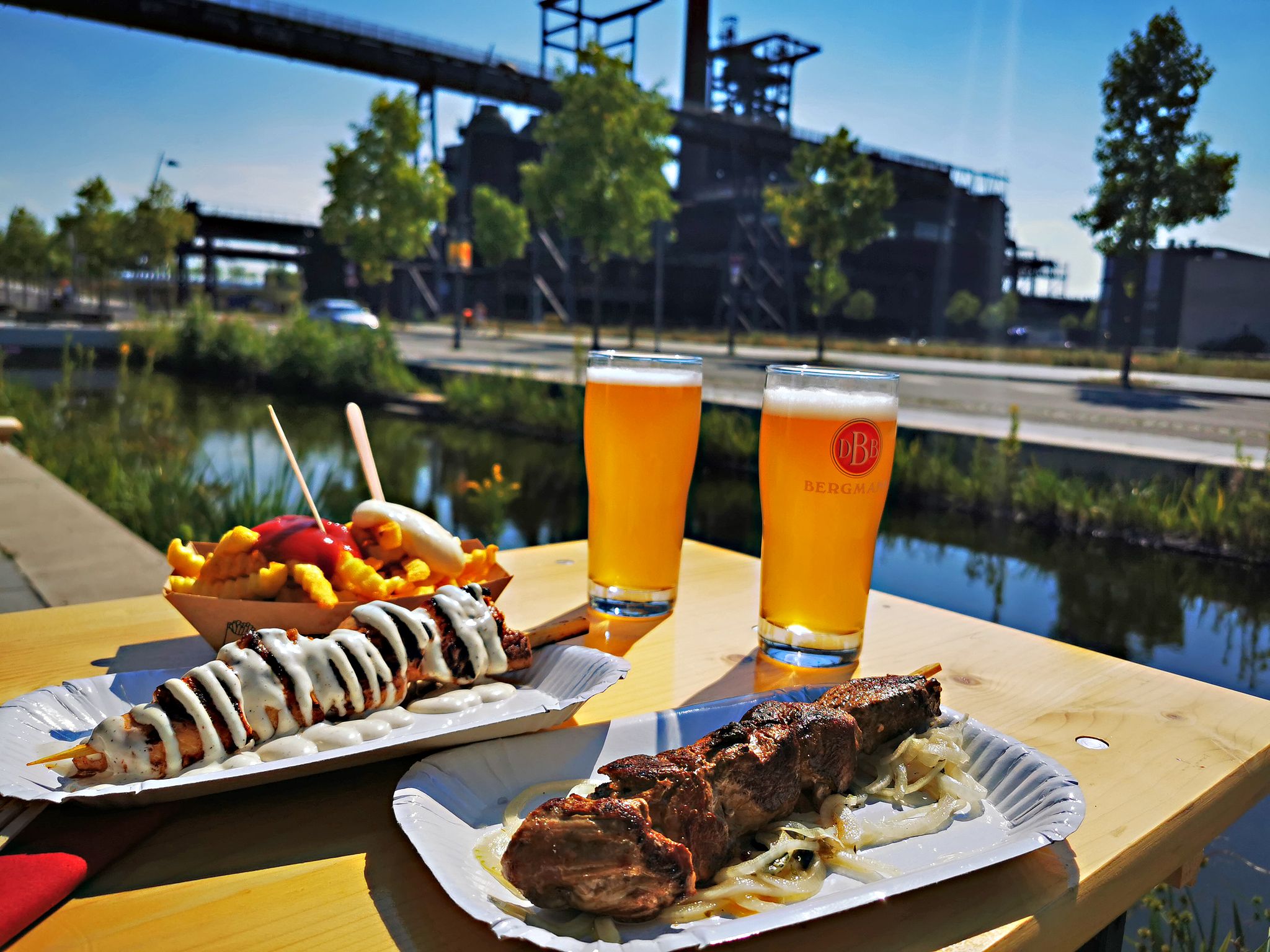
Long live the break – bike tours with beer gardens & culinary delights
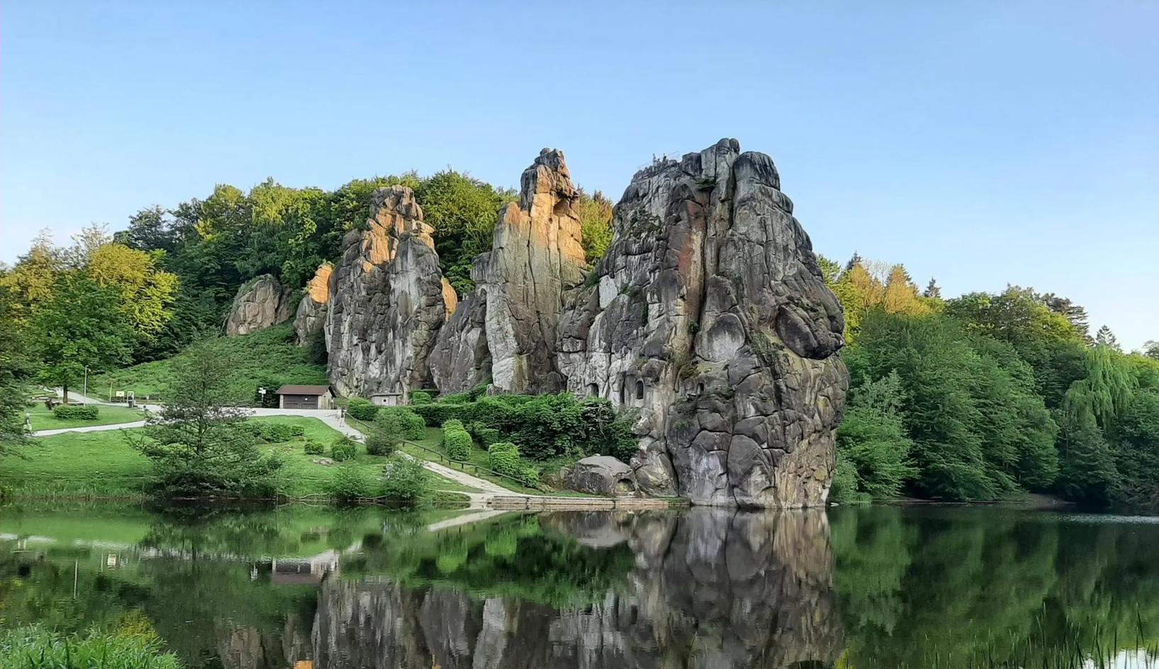
The National Natural Landscapes in Nordrhein-Westfalen
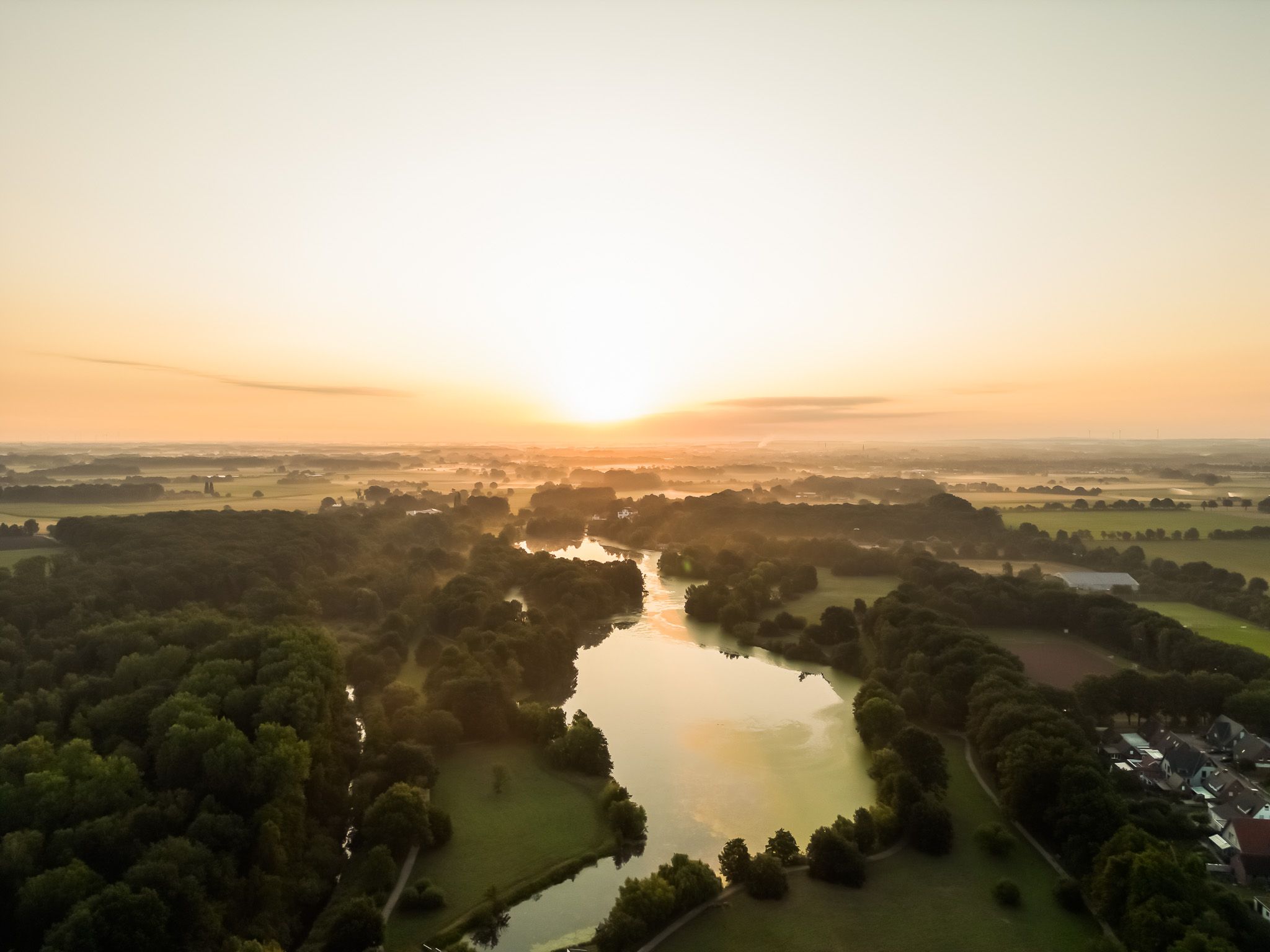
Castles, parks and wildlife – cycling around Bocholt
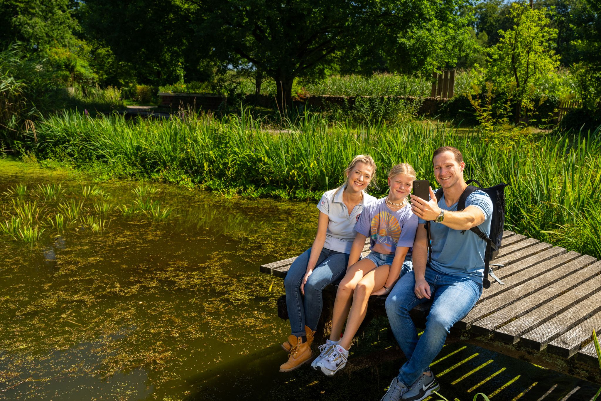
Hiking and discoveries – family walks in the Hohe Mark Nature Park

#GoFurther – discover the views of Germany!
Other adventures in Naturpark Hohe Mark - Westmünsterland


Tips from the Community

I haven't often seen ferns over 1 meter tall. There are so many here that you can't even see the forest floor.
0
1

A very beautiful local recreation area for hikers and cyclists. Kommod offers many tour suggestions.
2
0

It is always beautiful in the Haard.
2
0

Information about opening hours and menu: http://haard-oase.de/
0
0
Nice beer garden and friendly service. The cake counter also invites you to linger.
0
0

Such a beautiful play of colours, sometimes rich green, sometimes reddish brown
0
1
There are several wooden sculptures to discover here
0
0

Unfortunately, there is almost no view of the lake from the officially accessible path that runs directly along the fence.
4
0
Frequently Asked Questions
How many mountaineering routes are available in Naturpark Hohe Mark - Westmünsterland?
Naturpark Hohe Mark - Westmünsterland offers a selection of 6 mountaineering routes, providing diverse experiences across its varied landscapes. These routes range from easy walks to more moderate ascents.
What kind of terrain can I expect on mountaineering routes in Naturpark Hohe Mark - Westmünsterland?
The terrain in Naturpark Hohe Mark - Westmünsterland is diverse, featuring extensive, often hilly, forested areas like the Haard and Hohe Mark. You'll also encounter lively park landscapes with meadows and hedgerows, as well as river systems such as the Stever and Lippe with their protected floodplains. While not featuring high alpine peaks, the area offers rewarding elevated views and varied topography.
Are there any easy mountaineering routes suitable for beginners or families?
Yes, there are routes suitable for beginners and families. For instance, the Rennberg Fire Watchtower – Gateway to the Haard loop from Flaesheim is an easy 3.9-mile (6.2 km) trail that leads through the Haard forest and is often completed in about 1 hour 42 minutes. The region generally offers options for different ability levels, including easier walks.
Can I bring my dog on the mountaineering trails in Naturpark Hohe Mark - Westmünsterland?
Many trails in Naturpark Hohe Mark - Westmünsterland are dog-friendly, allowing you to enjoy the natural beauty with your canine companion. However, it's always recommended to keep dogs on a leash, especially in nature protection areas or near wildlife, and to check specific route regulations before you go.
Are there any circular mountaineering routes in the region?
Yes, many of the mountaineering routes in Naturpark Hohe Mark - Westmünsterland are designed as circular loops. Examples include the Schrammberg – Fischzucht i.d.Haard loop from Rapen, the Seebucht Hohe Niemen loop from Haltern am See, and the Ludgeri Rast loop from Osthellermark, offering convenient starting and ending points.
What are some natural highlights or viewpoints I can discover along the routes?
The Naturpark is rich in natural highlights. You can find elevated views from locations like the Rennberg Fire Watchtower, which is part of the Rennberg Fire Watchtower – Gateway to the Haard loop from Flaesheim. The region also features picturesque moated castles, extensive forests, and river floodplains where you might spot wildlife. The Westruper Heide is particularly beautiful during the heather bloom.
Are there any cultural attractions or landmarks near the mountaineering routes?
Yes, the Naturpark offers cultural attractions alongside its natural beauty. You can visit Vischering Castle, which houses a museum, or explore Green Border Crossing Rhede. These landmarks provide interesting diversions and insights into the region's history and culture.
What is the best time of year for mountaineering in Naturpark Hohe Mark - Westmünsterland?
The Naturpark Hohe Mark - Westmünsterland is enjoyable for mountaineering throughout much of the year. Spring and autumn offer pleasant temperatures and vibrant natural colors, while summer provides longer daylight hours. Even winter can be beautiful for hiking, though conditions may require appropriate gear.
Is public transport available to access the trailheads?
Public transport options are available to reach various points within Naturpark Hohe Mark - Westmünsterland, including areas near some trailheads. It's advisable to check local bus and train schedules for specific routes and starting points to plan your journey effectively.
Where can I find parking for the mountaineering routes?
Designated parking areas are typically available near the starting points of many mountaineering routes throughout Naturpark Hohe Mark - Westmünsterland. These are often signposted. For specific routes, you can usually find parking information on the komoot tour page or local tourism websites.
What do other komoot users say about mountaineering in Naturpark Hohe Mark - Westmünsterland?
The mountaineering routes in Naturpark Hohe Mark - Westmünsterland are highly rated by the komoot community, with an average score of 4.0 stars. Users often praise the varied terrain, the peaceful forest sections, and the well-maintained paths that make for an enjoyable outdoor experience.
Are there any cafes or places to eat near the trails?
Yes, you can find cafes and restaurants in towns and villages located within or adjacent to Naturpark Hohe Mark - Westmünsterland. Some routes may also pass by specific huts or shelters, such as the Weifes Venn Shelter and Bike Service Station, where you might find refreshments or a place to rest.
Are there any longer, more challenging mountaineering routes for experienced hikers?
While the region is characterized by hilly terrain rather than high mountains, there are longer routes that offer a good challenge. The Schrammberg – Fischzucht i.d.Haard loop from Rapen, for example, is a moderate 11.3-mile (18.2 km) trail with varied elevation, providing a more extensive experience for seasoned hikers.
Can I go mountaineering in winter in Naturpark Hohe Mark - Westmünsterland?
Winter mountaineering is possible in Naturpark Hohe Mark - Westmünsterland, offering a different perspective of the landscape. While the terrain is generally not prone to heavy snow, it's essential to be prepared for colder temperatures, potentially icy paths, and shorter daylight hours. Always check local weather conditions before heading out.
Most popular routes in Naturpark Hohe Mark - Westmünsterland
Most popular attractions in Naturpark Hohe Mark - Westmünsterland

Get inspired with the komoot mobile app


Explore more
Browse the best Mountain Hikes & Routes in other regions.
