The best traffic-free bike rides around Ingleby Greenhow
4.6
(97)
2,979
riders
9
rides
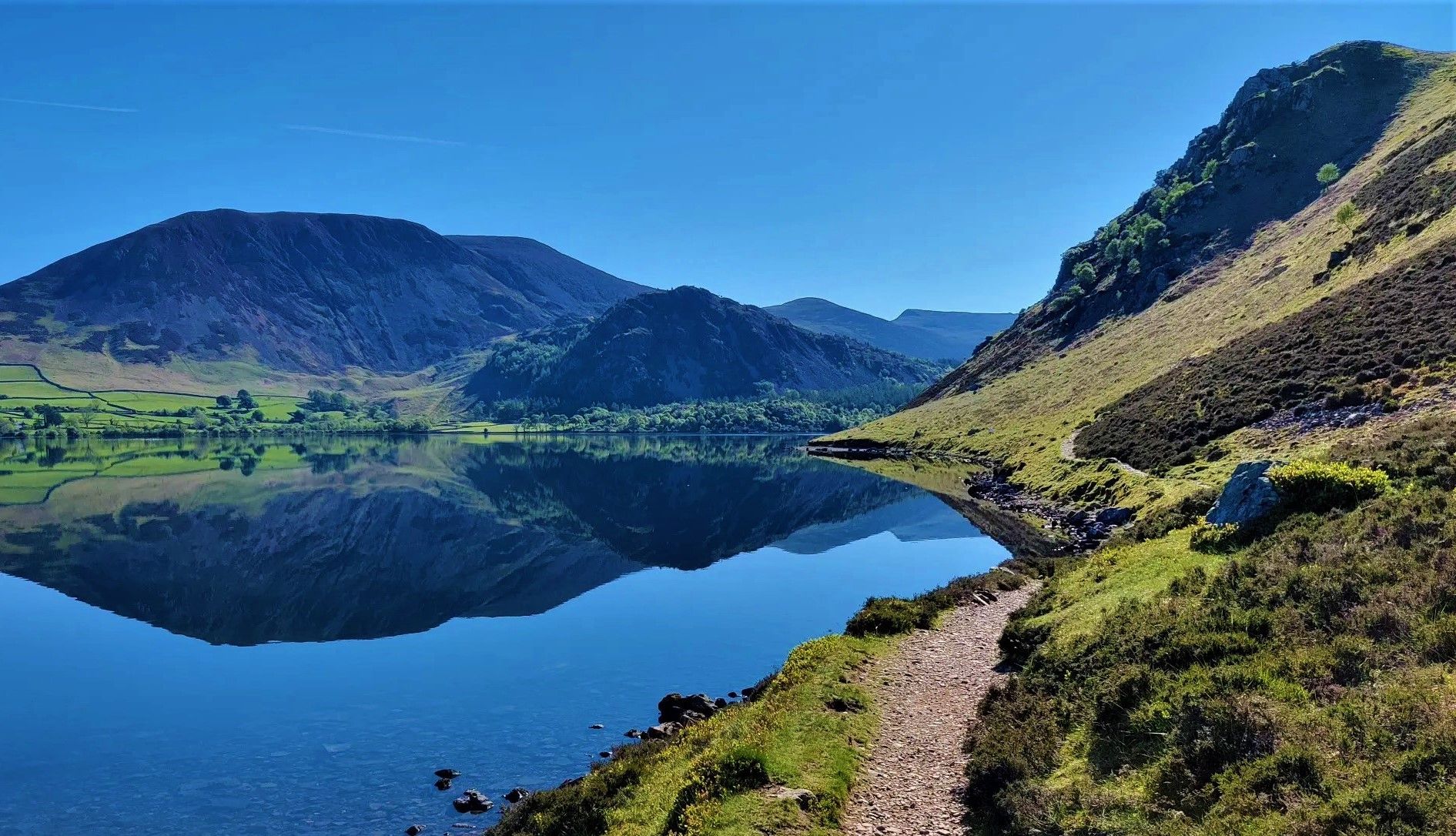
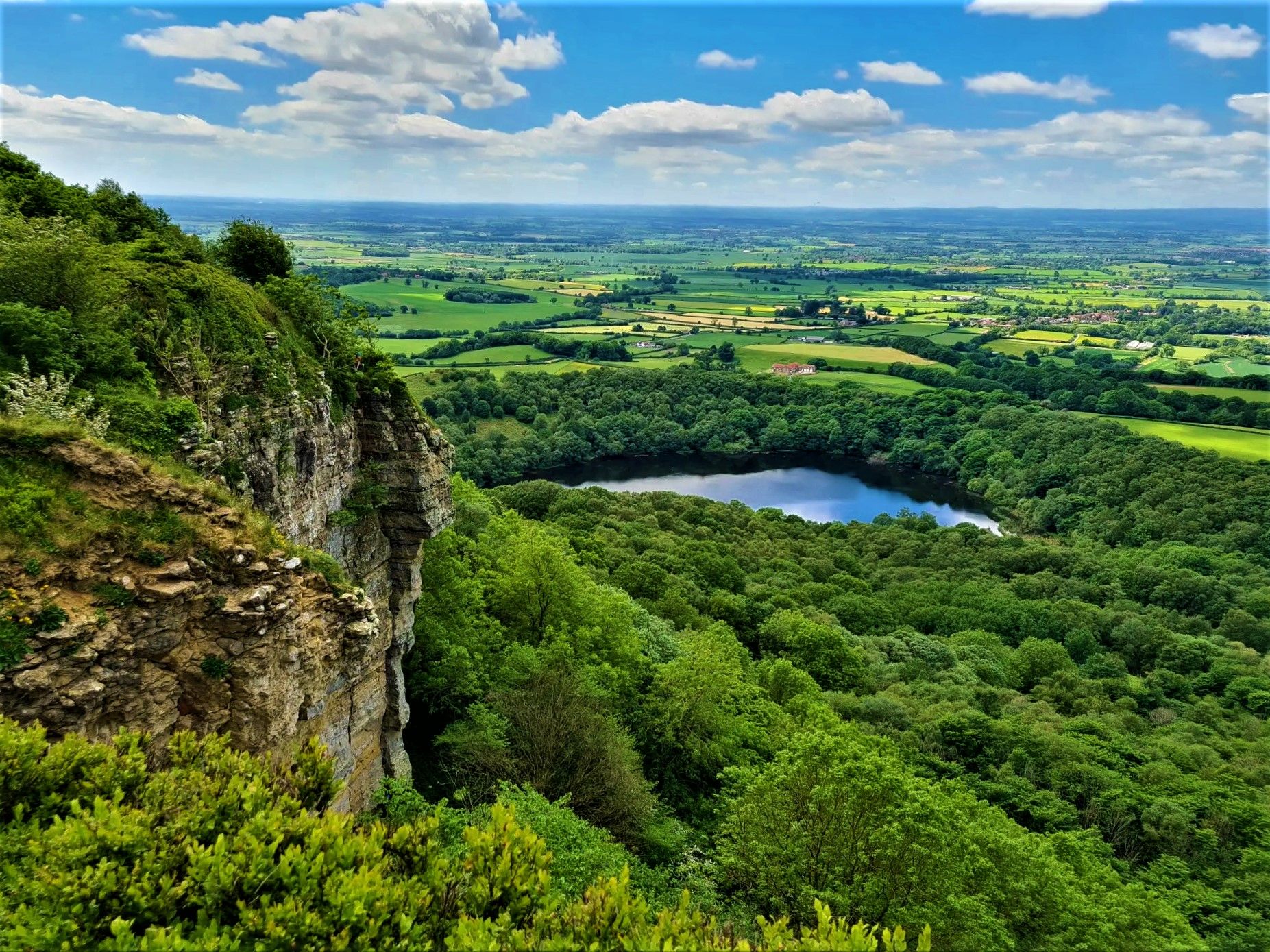
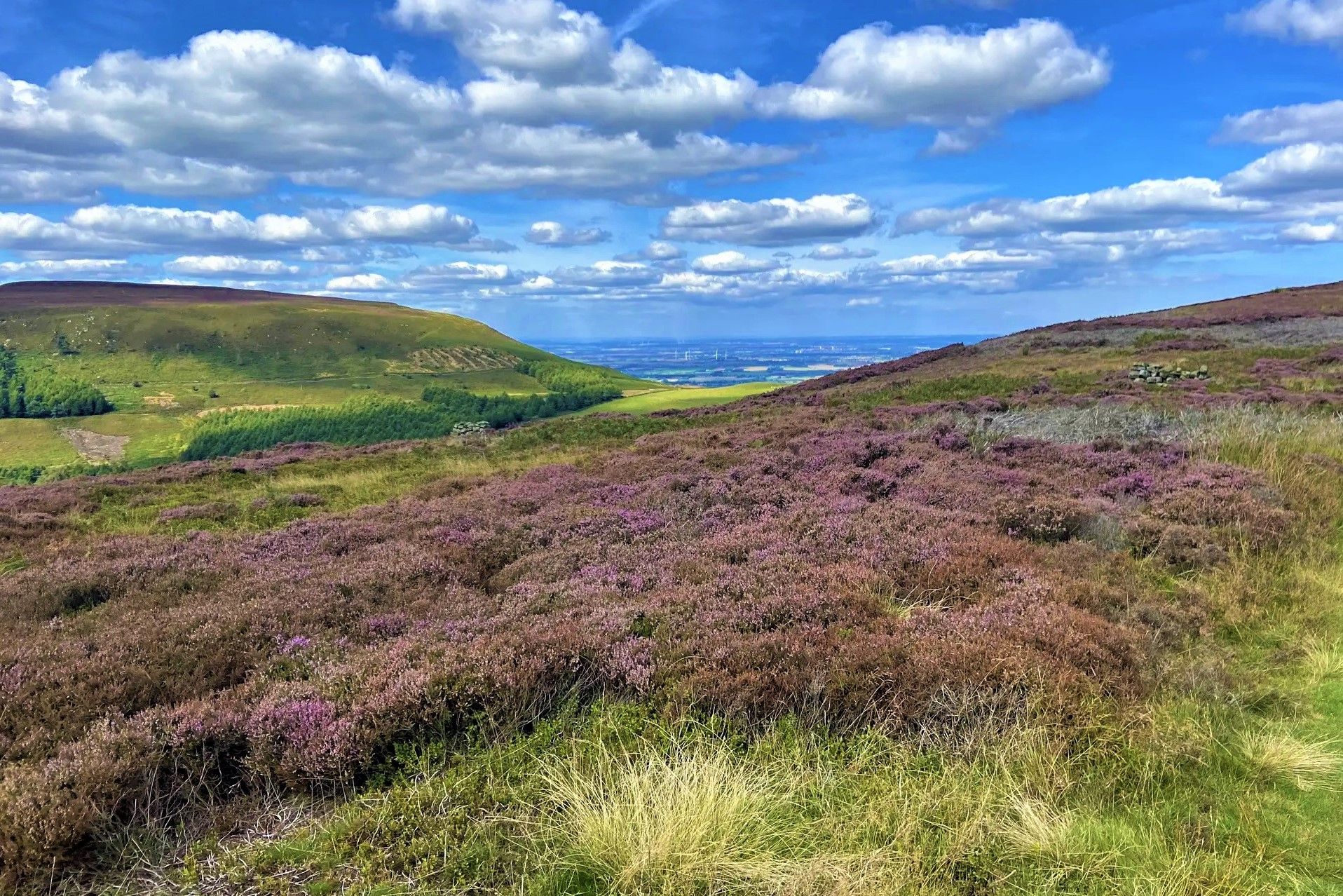
No traffic touring cycling routes around Ingleby Greenhow traverse a landscape characterized by dramatic valleys, rolling hills, and expansive moorland plateaus. The region is nestled at the foot of the Greenhow Bottom valley and borders the North York Moors National Park. Cyclists encounter varied terrain, including the steep Cleveland escarpment and extensive woodlands, offering diverse environments for exploration.
Best no traffic touring cycling routes around Ingleby Greenhow
- The most popular no traffic touring cycling route is Clay Bank Summit Viewpoint…
Last updated: October 10, 2026
5.0
(1)
20
riders
30.2km
03:08
680m
680m
Hard bike ride. Very good fitness required. You may need to push your bike for some segments of this route.
17
riders
Moderate bike ride. Good fitness required. Mostly paved surfaces. Suitable for all skill levels.

14
riders
13.1km
01:06
200m
200m
Moderate bike ride. Good fitness required. Mostly paved surfaces. Suitable for all skill levels.
15
riders
13.7km
01:07
170m
170m
Moderate bike ride. Good fitness required. Mostly paved surfaces. Suitable for all skill levels.
15
riders
Hard bike ride. Very good fitness required. You may need to push your bike for some segments of this route.
Get access to more routes and recommendations from other explorers.
Already have an account?
Our route recommendations are based on thousands of hikes, rides, and runs completed by other people on komoot.
Start today with a free account
Your next adventure awaits.
Other adventures around Ingleby Greenhow


Tips from the Community

The Rosedale Railway was a 19.5-mile (31.4 km) standard-gauge mineral railway in the North York Moors, England. Built in the 1860s, it was a "goods-only" line designed to transport iron ore from the remote Rosedale mines to blast furnaces in Teesside and County Durham.
0
0

Until 1912, Roseberry Topping had a smooth, sugarloaf‑like peak. A geological fault combined with underground mining caused a massive collapse, giving the summit its modern jagged profile. The climb up from the car park is steep and can be very busy, even before sunrise in winter where you can see a small procession of torches slowly ascending.
1
0
Great views of the eastern flank of Roseberry Topping from the track leading to Little Roseberry.
1
0


Walking boots is a must as the terrain is very uneven and can get slippy if it’s been raining
0
0


That is the Cammon Stone. It dates from the late Neolithic period.
0
0
Frequently Asked Questions
How many no traffic touring cycling routes are available around Ingleby Greenhow?
There are 9 dedicated no traffic touring cycling routes around Ingleby Greenhow featured in this guide. These routes offer a peaceful way to explore the dramatic valleys, rolling hills, and expansive moorland plateaus of the North York Moors National Park.
What kind of terrain and difficulty can I expect on these traffic-free cycling routes?
The routes around Ingleby Greenhow offer varied terrain, from moderate paths to more challenging ascents. You'll encounter rolling hills, moorland plateaus, and sections within the dramatic Greenhow Bottom valley. The guide includes 4 moderate routes and 5 difficult routes, ensuring options for different fitness levels. For example, the View from Blakey Junction – Bloworth Crossing loop from Battersby is a moderate option, while the Clay Bank Summit Viewpoint – Bloworth Crossing loop from Broughton Bank SSSI presents a more difficult challenge.
Are there any family-friendly no traffic cycling routes in the area?
While many routes in this guide are rated moderate to difficult, the area does offer quieter country lanes and paths that can be suitable for families. For a moderate option, consider the Greenhow Plantation loop from Battersby, which provides a scenic ride through woodlands. Always check the route details for elevation and surface to ensure it matches your family's ability.
What interesting landmarks or viewpoints can I see along these routes?
The no traffic routes often provide stunning views and pass by significant landmarks. You might catch glimpses of the distinctive Roseberry Topping Summit, known as the 'Yorkshire Matterhorn', or the impressive Captain Cook's Monument on Easby Moor. Many routes also offer panoramic vistas from points like Carlton Bank Summit Trig Point, overlooking the Tees Valley and the North York Moors.
Are there circular no traffic cycling routes available?
Yes, many of the no traffic touring cycling routes around Ingleby Greenhow are designed as loops, allowing you to start and finish at the same point. Examples include the Clay Bank Summit Viewpoint loop from Broughton Bank SSSI and the Sleedale Descent – Climb to Highcliff loop from Broughton Bank SSSI. These circular routes are ideal for exploring the diverse landscapes without needing to retrace your steps.
What is the best time of year to cycle these routes?
The North York Moors, including the Ingleby Greenhow area, are beautiful year-round, but spring and autumn often offer the most pleasant cycling conditions with milder temperatures and vibrant scenery. Summer provides longer daylight hours, though routes can be busier. Winter cycling is possible but requires appropriate gear for potentially colder and wetter weather, especially on exposed moorland sections.
Can I bring my dog on these quiet cycling trails?
While the routes are traffic-free, the suitability for dogs depends on the specific trail and your dog's fitness. Many paths traverse open moorland or farmland where livestock may be present, requiring dogs to be on a lead. Always check local signage and be mindful of wildlife. Some sections might be on bridleways where dogs are generally permitted, but ensure they are well-behaved and do not disturb other users or animals.
Where can I find parking for these no traffic cycling routes?
Access points for these routes often have nearby parking, particularly at popular starting locations like Broughton Bank SSSI or near villages such as Battersby. It's advisable to check the specific route details on komoot for recommended parking areas, which are usually indicated on the tour maps.
Are there any cafes or pubs near the no traffic cycling routes for refreshments?
Ingleby Greenhow and surrounding villages offer local pubs and cafes where you can stop for refreshments. While specific amenities directly on every traffic-free trail might be limited, planning your route to pass through or near a village will provide opportunities for a break. The region is known for its welcoming village establishments.
What do other touring cyclists enjoy most about cycling in Ingleby Greenhow?
The komoot community highly rates the touring cycling experience in Ingleby Greenhow, with an average score of 4.45 out of 5 stars from 54 ratings. Cyclists frequently praise the stunning, expansive moorland views, the challenge of the varied terrain, and the peaceful, traffic-free nature of the routes that allow for an immersive experience in the North York Moors National Park.
Are there any particularly challenging climbs on the no traffic routes?
Yes, given its location at the foot of the Cleveland Hills and on the edge of the North York Moors, some routes feature significant climbs. The Cleveland escarpment contributes to the region's varied elevation, with hills rising to over 1,300 feet. Routes like the Sleedale Descent – Climb to Highcliff loop from Broughton Bank SSSI include notable ascents that will test your fitness, rewarding you with breathtaking views from the summits.
Most popular routes around Ingleby Greenhow
Most popular attractions around Ingleby Greenhow

Get inspired with the komoot mobile app


Explore more
Browse the best Cycling routes in other regions.
