The best gravel rides around Ingleby Greenhow
4.6
(14)
93
riders
15
rides
Gravel biking around Ingleby Greenhow offers diverse terrain within the North York Moors National Park and at the base of the Cleveland Hills. The region features woodlands, rolling hills, and expansive moorland, providing varied surfaces for cycling. Riders encounter both gentle ascents and more challenging climbs across the landscape. Numerous becks wind through the area, adding to the natural environment.
Best gravel bike trails around Ingleby Greenhow
- The most popular gravel bike trail is Blakey Bank Summit – Rosedale Iron…
Last updated: October 6, 2026
15
riders
32.1km
01:55
400m
400m
Moderate gravel ride. Good fitness required. Mostly paved surfaces. Suitable for all skill levels.
4.3
(3)
16
riders
20.8km
01:31
370m
370m
Moderate gravel ride. Good fitness required. Mostly paved surfaces. Suitable for all skill levels.

5.0
(1)
9
riders
18.0km
01:12
270m
270m
Moderate gravel ride. Good fitness required. Mostly paved surfaces. Suitable for all skill levels.
5.0
(1)
10
riders
Moderate gravel ride. Good fitness required. Mostly paved surfaces. Suitable for all skill levels.
4.5
(2)
8
riders
48.2km
03:19
960m
960m
Hard gravel ride. Very good fitness required. Mostly paved surfaces. Suitable for all skill levels.
Get access to more routes and recommendations from other explorers.
Already have an account?
Our route recommendations are based on thousands of hikes, rides, and runs completed by other people on komoot.
Start today with a free account
Your next adventure awaits.
Popular around Ingleby Greenhow
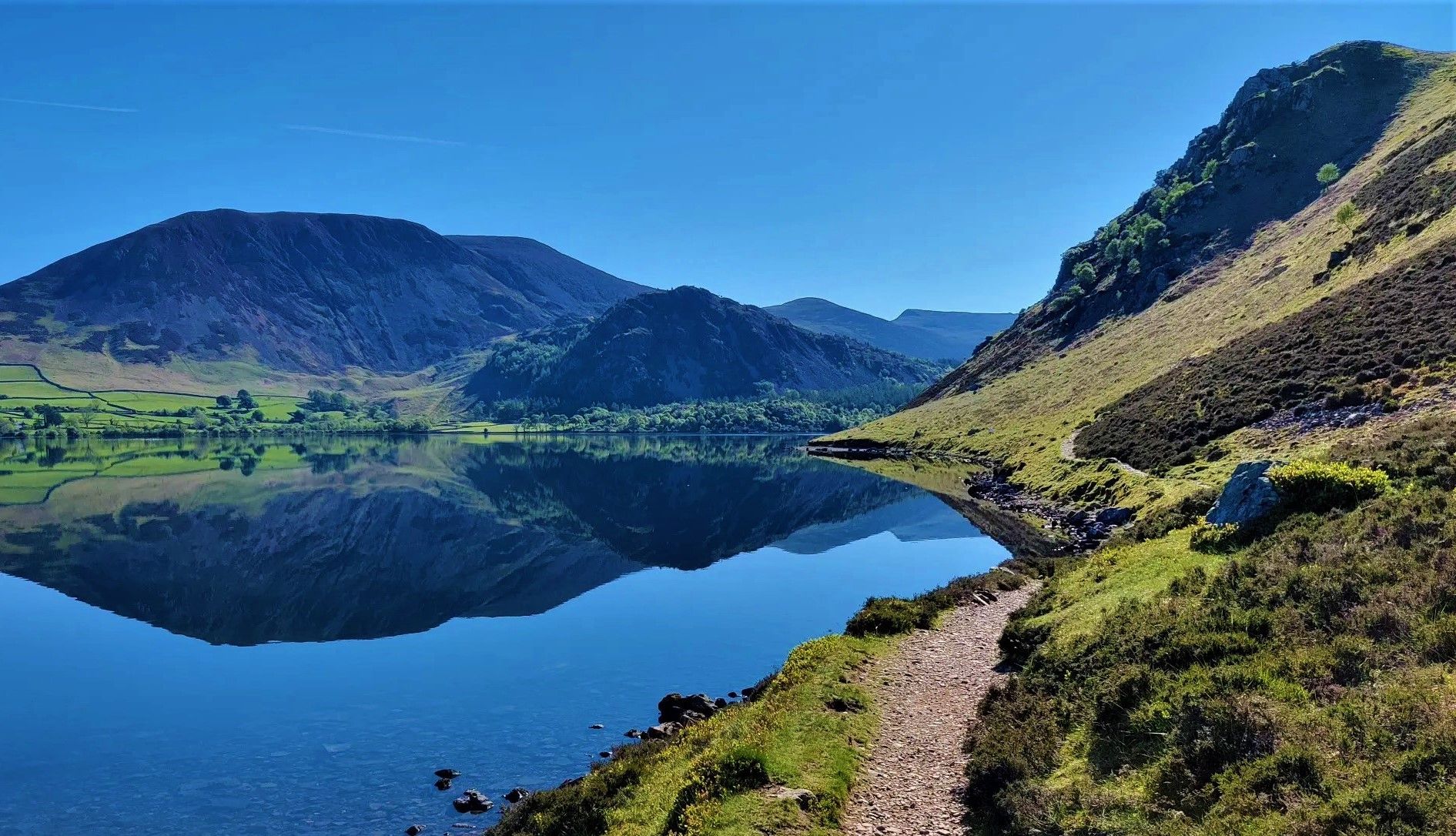
Wainwright's Coast to Coast — Hike the width of England in 13 stages
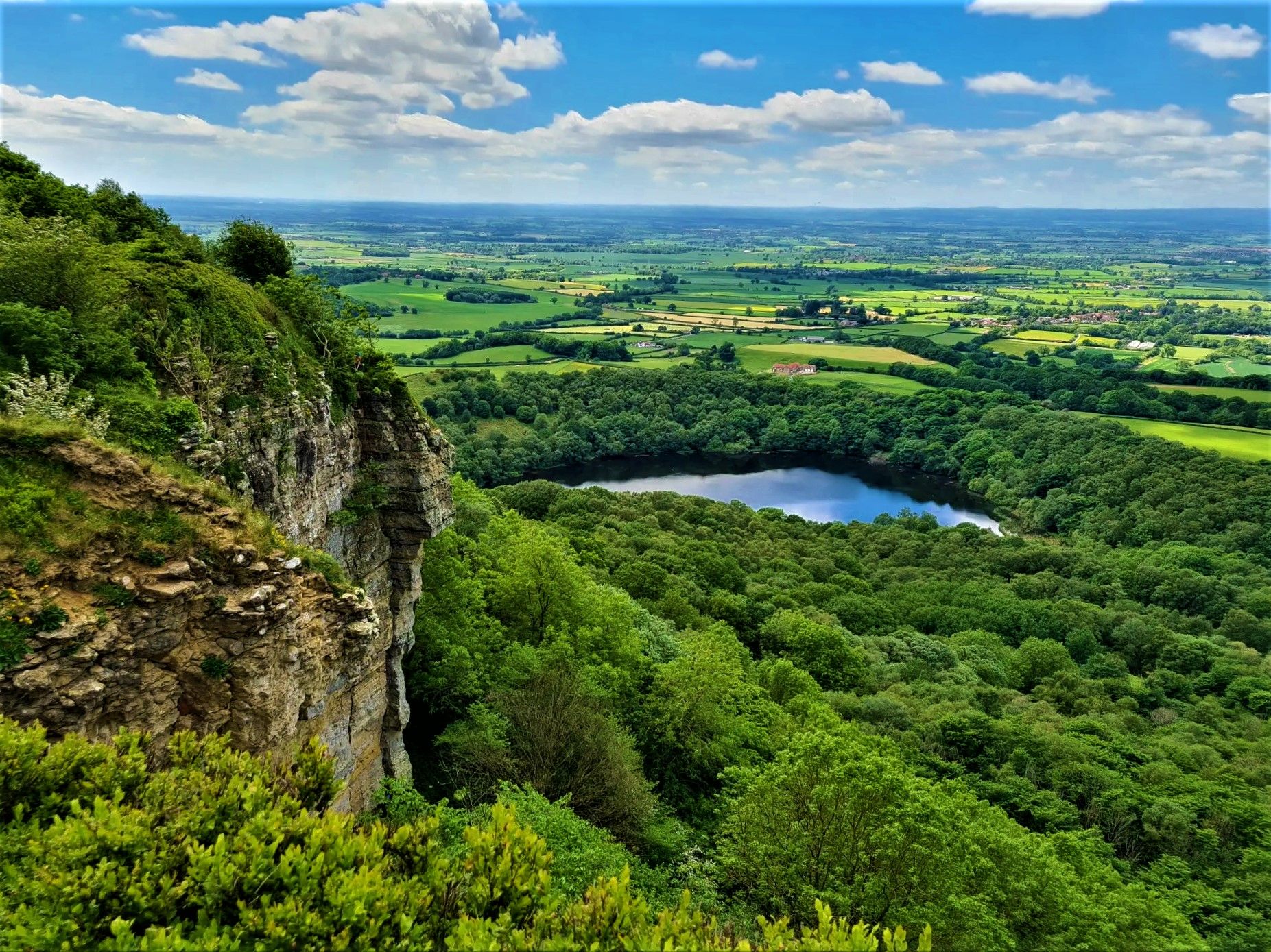
Moors, cliffs, and 'the finest view in England' – White Rose Walk
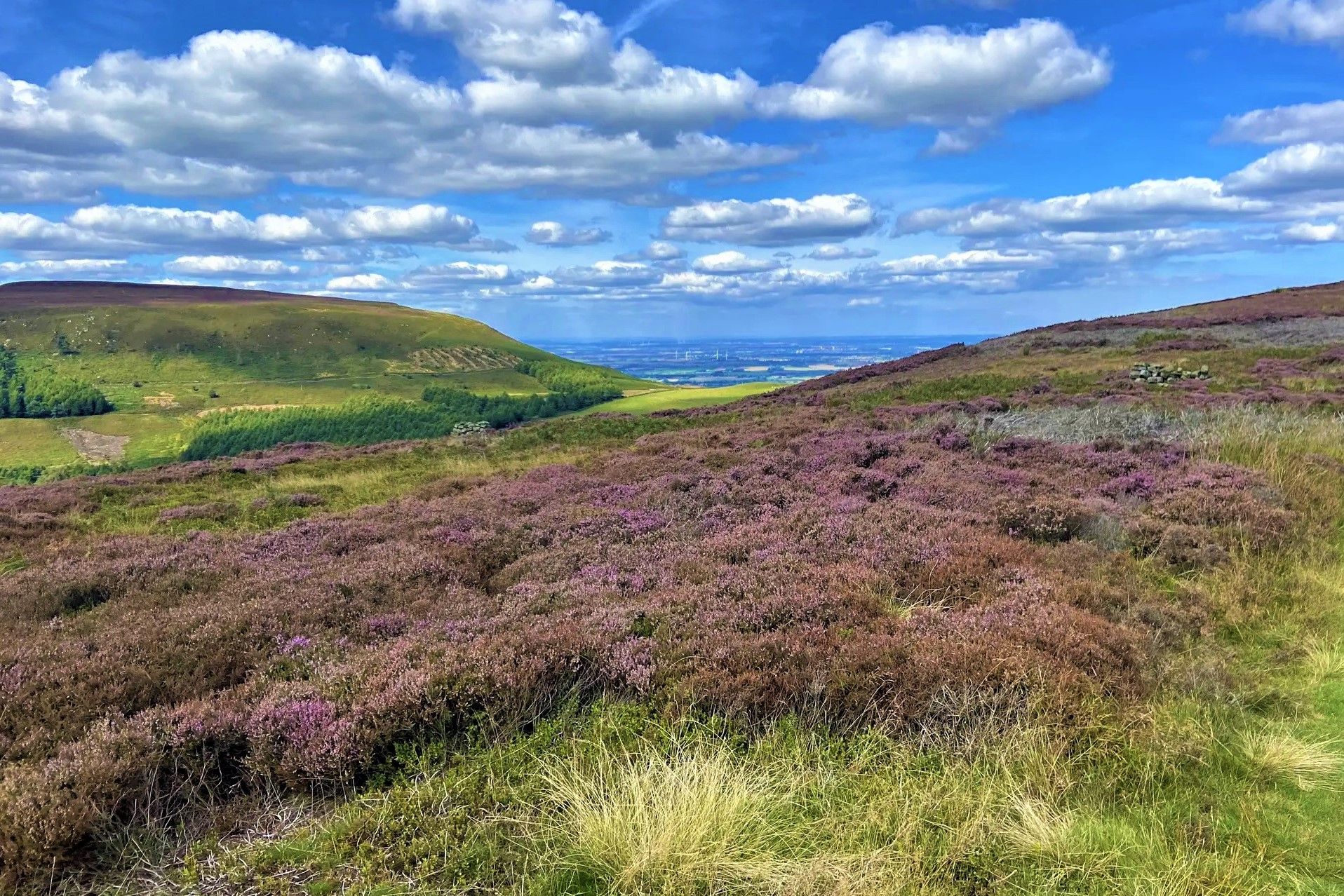
Purple heather, golden sand and classic hiking – North York Moors
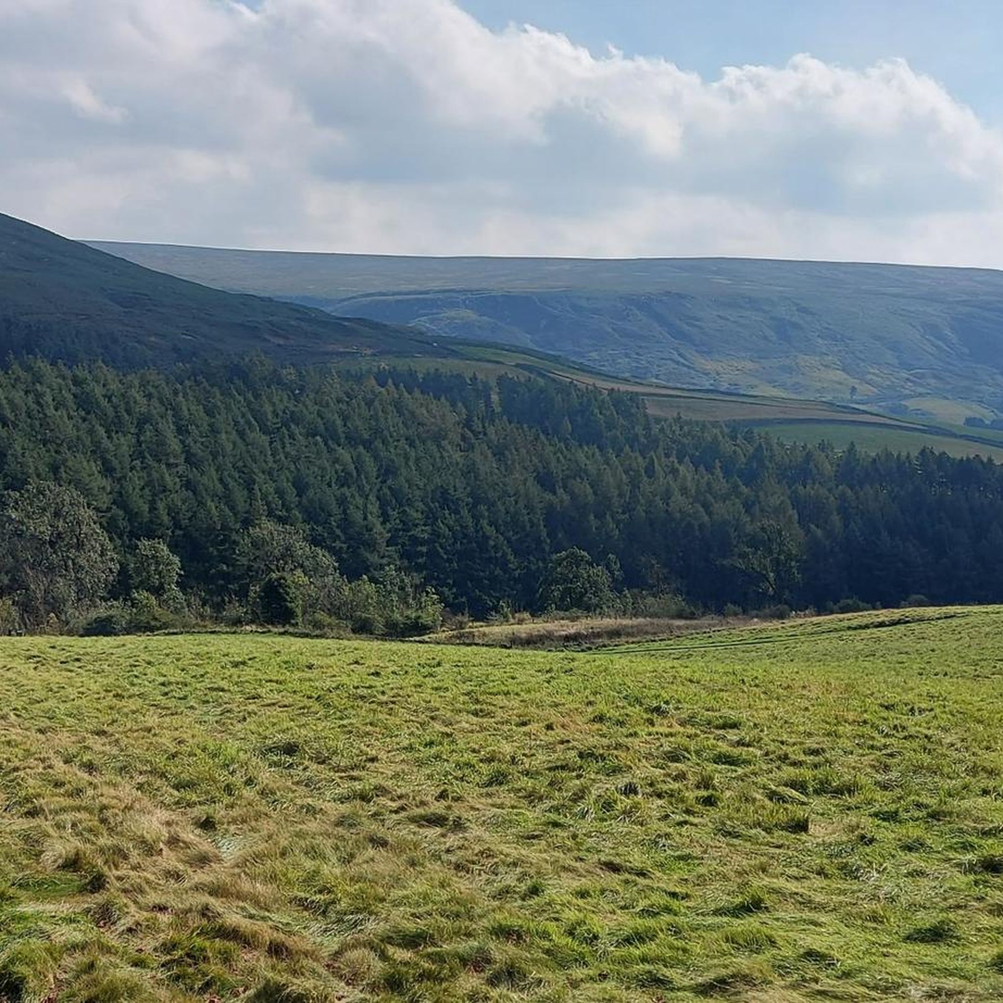
Hiking around Ingleby Greenhow
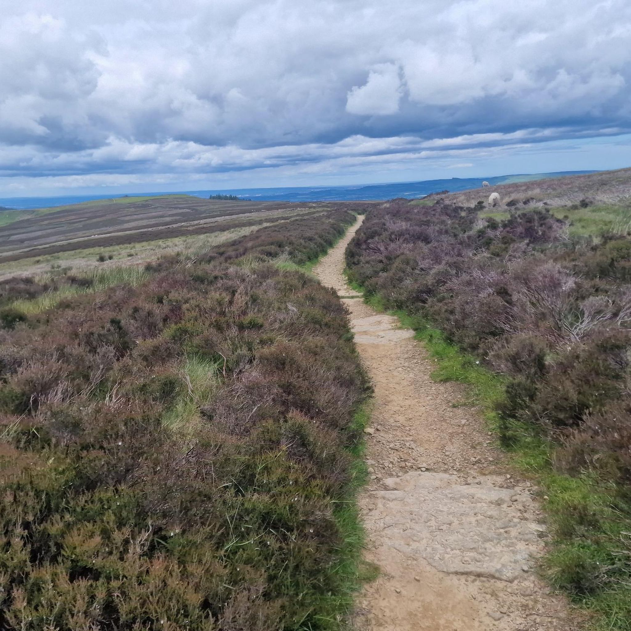
Running Trails around Ingleby Greenhow
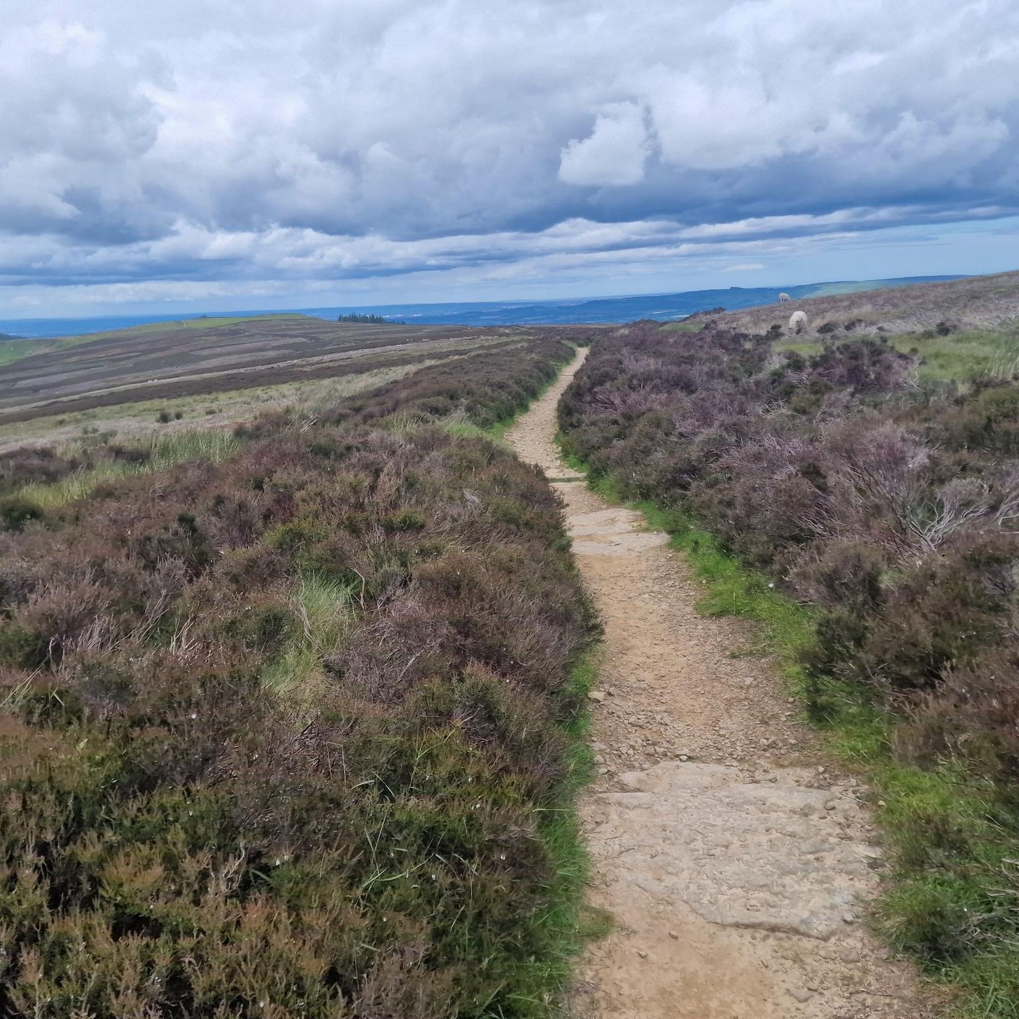
Road Cycling Routes around Ingleby Greenhow
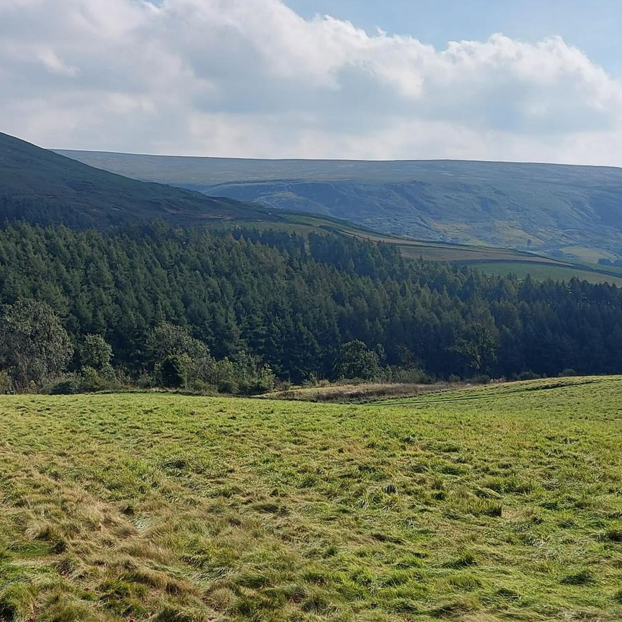
Cycling around Ingleby Greenhow
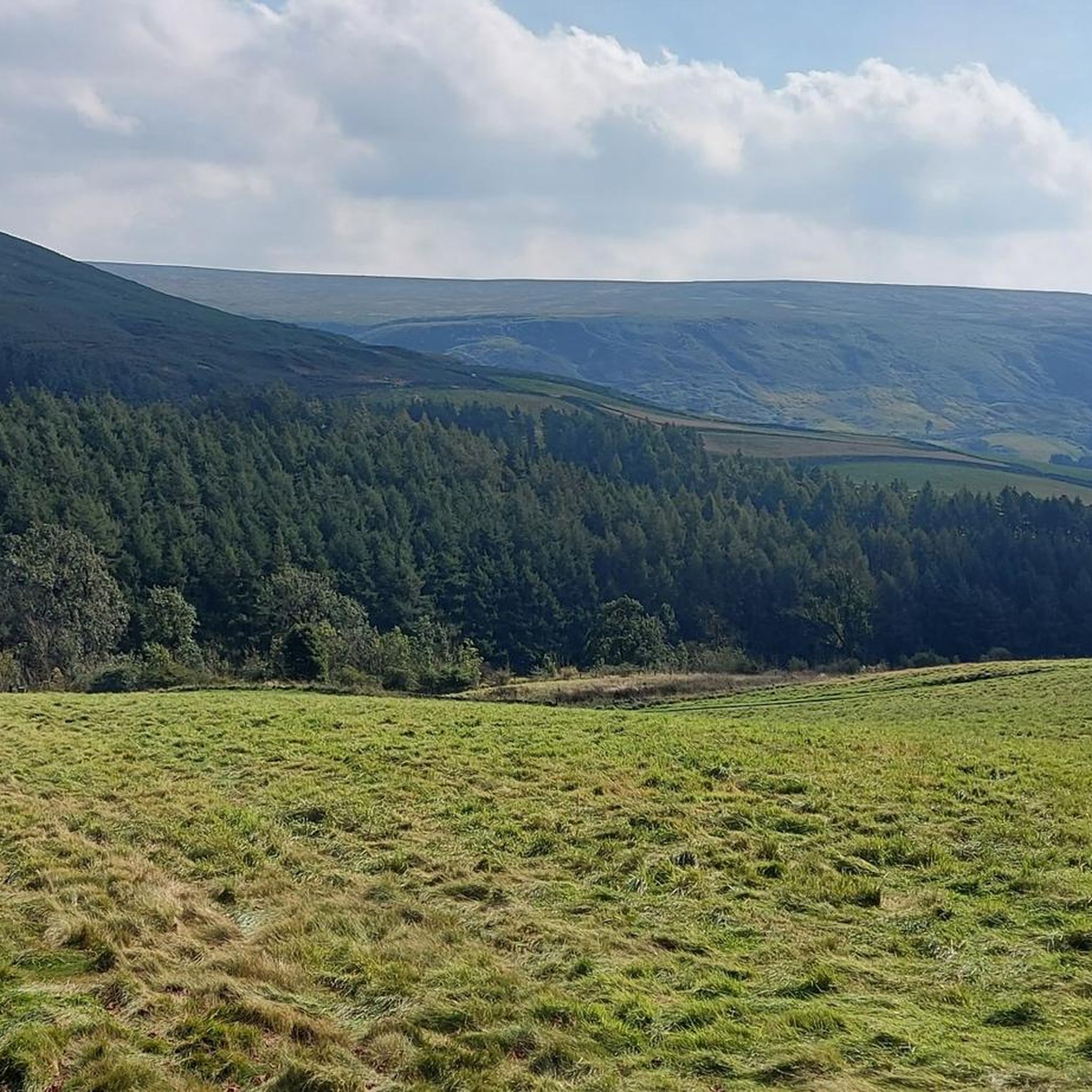
MTB Trails around Ingleby Greenhow
Other adventures around Ingleby Greenhow


Tips from the Community

Tough ride up to here and could be dangerous to go down, but fantastic views!
0
0

Graze on the Green cafe, excellent food
0
0


Ingleby Greenhow is a village and civil parish in the Hambleton district of North Yorkshire. The name may derive from the Saxon for Englishman's green hill.
0
0
Clay Bank Car Park sits just below the top B1257 road. It is a great place to start walks on the moors to the east or the Cleveland Hills to the west. There is also fantastic views from this place.
0
0

The scenery is nice in this area. You can see for miles in many parts. This is a slightly elevated area, the wind is far more stronger as it is an exposed area
0
0
Sheriffs Pit is the location of an old iron mine. The views here are mint, you can see for miles through the valleys at the side of the double track
0
0

See the Landofiron.org.uk website for more engaging details on the Sheriff's Pit and other surviving elements of the Rosedale Mines and Railway.
0
0
Frequently Asked Questions
How many gravel bike trails are available around Ingleby Greenhow?
There are over 20 gravel bike trails available for exploration around Ingleby Greenhow. These routes cater to various skill levels, offering a diverse range of experiences within the North York Moors National Park and the Cleveland Hills.
What are the typical difficulty levels for gravel biking in this area?
The gravel bike trails around Ingleby Greenhow offer a good mix of challenges. You'll find 9 moderate routes, perfect for those with some experience, and 11 more difficult trails for riders seeking a greater challenge with significant climbs and varied terrain.
What kind of scenery can I expect on the gravel bike trails near Ingleby Greenhow?
You can expect a rich variety of scenery, from the expansive moorlands and rolling hills of the North York Moors to the dramatic elevation changes of the Cleveland Hills. Many routes also pass through tranquil woodlands and alongside numerous becks like Hob Hole Beck and Ingleby Beck, offering a mix of open vistas and shaded paths.
Are there any circular gravel bike routes in the area?
Yes, many of the gravel bike routes around Ingleby Greenhow are circular, allowing you to start and finish in the same location. For example, the View from Clay Bank – Clay Bank Summit Viewpoint loop from Ingleby Greenhow is a moderate 18 km circular route offering great views.
What do other gravel bikers say about the trails in Ingleby Greenhow?
The gravel biking routes around Ingleby Greenhow are highly regarded by the komoot community, holding an average rating of 4.6 stars from over 10 reviews. More than 60 gravel bikers have explored the varied terrain, often praising the diverse landscapes and well-maintained tracks.
Are there any family-friendly gravel bike routes around Ingleby Greenhow?
While many routes involve varied terrain and some climbs, there are options suitable for families with some cycling experience. Look for routes described as 'moderate' and check the elevation profiles. The area's network of forest tracks and country lanes can offer gentler sections, though specific dedicated family routes might require careful selection.
Can I bring my dog on the gravel bike trails?
Many trails in the North York Moors National Park are accessible for dogs, especially on public bridleways and tracks. However, it's crucial to keep dogs under close control, particularly around livestock and ground-nesting birds, and to check specific route guidelines or local signage for any restrictions. Always carry water for your dog.
Are there any notable landmarks or viewpoints along the gravel trails?
Absolutely. The region is rich in natural landmarks. You might encounter views of the distinctive Roseberry Topping Summit, known as the 'Yorkshire Matterhorn', or reach the Carlton Bank Summit Trig Point for panoramic vistas. The unique rock formations of The Wainstones are also a prominent feature in the landscape.
Where can I find parking for gravel biking in Ingleby Greenhow?
Parking is generally available in or near Ingleby Greenhow village, often at designated car parks or roadside spots suitable for accessing the trail network. Many routes start from villages like Ingleby Greenhow, Guisborough, or Great Ayton, which typically have parking facilities. Always check local signage for any restrictions or fees.
What is the best time of year for gravel biking in Ingleby Greenhow?
Spring and autumn often offer the most pleasant conditions for gravel biking, with milder temperatures and beautiful scenery as the moorlands change color. Summer can be excellent, but be prepared for warmer weather and potentially busier trails. Winter riding is possible, but trails can be muddy, icy, or exposed, especially on higher moorland sections, so appropriate gear and caution are essential.
Are there places to eat or drink along the gravel bike routes?
While Ingleby Greenhow itself has local amenities, many routes traverse rural moorland areas where facilities are sparse. It's advisable to carry sufficient food and water. However, some routes may pass through or near other valley villages like Rosedale Abbey or Great Ayton, which offer pubs and cafes for a well-deserved break. For instance, the Below Highcliffe Nab – BW Cafe loop from Guisborough specifically mentions a cafe stop.
Can you recommend a challenging gravel bike route?
For a challenging ride, consider the Blakey Bank Summit – View of Farndale loop from Great Ayton. This difficult 46.2 km trail leads through expansive moorland, features significant elevation gain, and offers stunning views of Farndale, typically taking nearly 4 hours to complete.
Are there any historical features to explore on a gravel bike?
Yes, the area is rich in history. You can ride along sections of the old Rosedale Railway trackbed, an impressive engineering feat from the ironstone mining era. This provides a unique path, though be aware of the steep climb at the former Ingleby Incline. The Blakey Bank Summit – Rosedale Iron Kilns loop from Rosedale Abbey specifically highlights historical iron kilns.
Most popular routes around Ingleby Greenhow
Most popular attractions around Ingleby Greenhow

Get inspired with the komoot mobile app


Explore more
Browse the best Gravel rides in other regions.
