The best hikes from bus stations around North Harris
4.6
(140)
1,118
hikers
6
hikes
Bus station hiking trails around North Harris offer access to a landscape characterized by rugged mountains, ancient Lewisian Gneiss bedrock, and expansive moorlands. The region features numerous freshwater lochs and a dramatic coastline with white sand beaches. Elevations range from coastal paths to peaks like An Cliseam, the highest mountain in the Outer Hebrides at 799 meters. This diverse terrain provides a range of hiking experiences accessible via public transport.
Best bus station hiking trails around North Harris
- The most…
Last updated: May 10, 2026
4.7
(6)
42
hikers
Hard hike. Very good fitness required. Easily-accessible paths. Suitable for all skill levels.
5.0
(2)
9
hikers
5.61km
01:51
190m
190m
Moderate hike. Great for any fitness level. Mostly accessible paths. Sure-footedness required.

Sign up for free
1
hikers
11.4km
03:14
250m
250m
Moderate hike. Good fitness required. Easily-accessible paths. Suitable for all skill levels.
5.0
(1)
5
hikers
4.47km
01:13
60m
60m
Easy hike. Great for any fitness level. Easily-accessible paths. Suitable for all skill levels.
5.0
(3)
10
hikers
10.1km
02:51
220m
220m
Moderate hike. Good fitness required. Easily-accessible paths. Suitable for all skill levels.
Our route recommendations are based on thousands of hikes, rides, and runs completed by other people on komoot.
Start today with a free account
Your next adventure awaits.
Login or Signup

Other adventures around North Harris


Tips from the Community


Braigh an Ruisg is the bealach that connects Màraig with Gleann Lacasdail. The pass provides sumptuous views back across Lochanan Lacasdail. Bear in mind that the trails here can be damp underfoot.
0
0
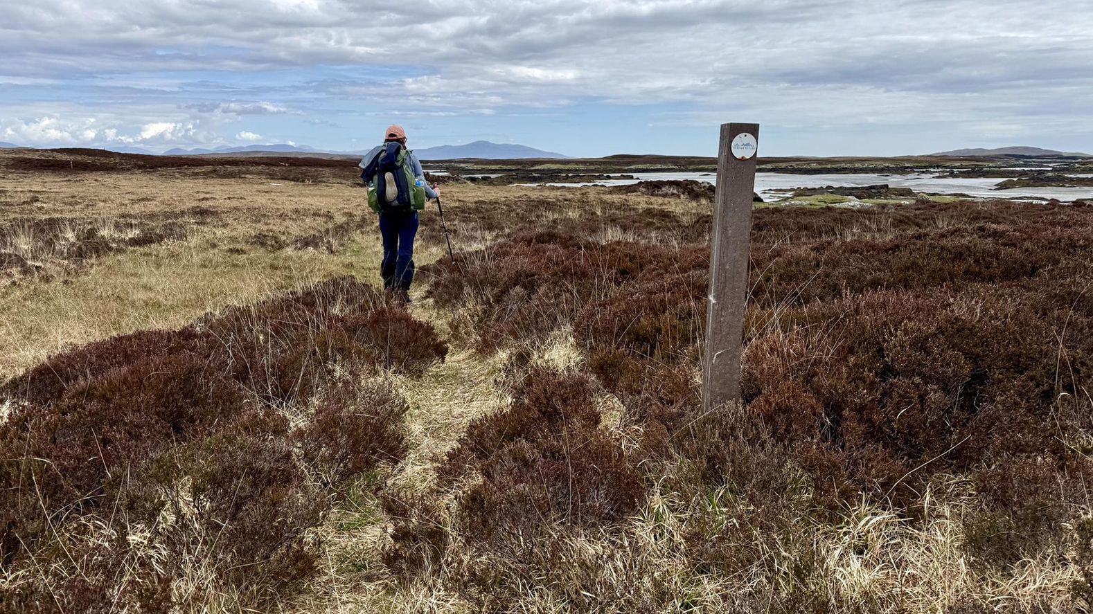
During the 19th century, many of Harris’ inhabitants were forcibly moved from their homes on the west coast to make way for sheep farming. This historic coffin road was used by the locals in the east to take their dead to burial sites in the west. The route is used by the Hebridean Way long-distance trail.
0
0

The Isle of Harris was beautiful from top to bottom!
0
0


There are endless opportunities for beautiful cycling on the Isle of Harris, where you're treated to breathtaking views at every turn. You can enjoy rugged mountain landscapes, stunning beaches with turquoise waters, and dramatic mountainous terrain.
1
0
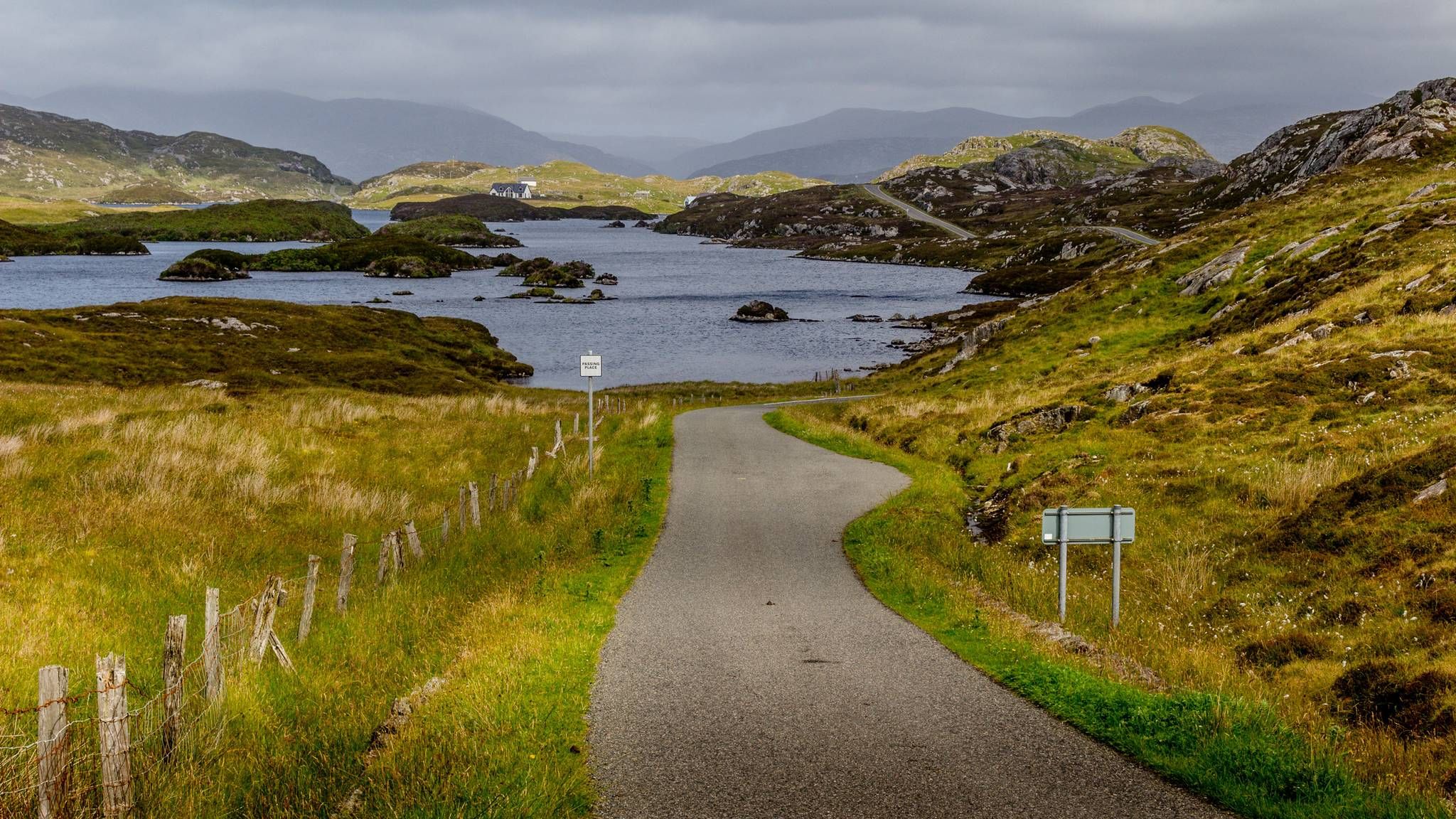
Lochanan Lacasdail is a cluster of three interconnected freshwater lochs located on the southern coastline of North Harris. Surrounded by breathtaking landscapes, these lochs provide the perfect scene for hiking, boating and wildlife observation.
1
0
Frequently Asked Questions
How many bus-accessible hiking trails are available in North Harris?
There are 6 dedicated bus-accessible hiking trails in North Harris, ranging from easy to difficult, allowing you to explore the region's diverse landscapes without a car. These routes are designed to start directly from public transport stops.
Are there any easy bus-accessible walks suitable for beginners or families?
Yes, for an easier option, consider the Head of Ob Lickisto loop from Gròsa Cleit. This 4.4 km route offers a gentle introduction to the area's beauty and is suitable for those looking for a less strenuous walk.
What kind of landscapes can I expect to see on these bus station hikes?
North Harris offers a dramatic and diverse landscape. You'll encounter rugged mountains, expansive moorlands, freshwater lochs, and stunning coastlines with white sand beaches. Some areas are even described as having 'lunar landscapes' due to their unique geological features. Routes like the View of the Isle of Harris – Loch Airigh Iain Oig loop from Gròsa Cleit provide excellent views of these varied terrains.
Are there any circular bus-accessible routes?
Yes, several of the bus-accessible routes are circular. For example, the Crabhadale Cottage – Hushinish Beach loop from Hushinish offers a moderate 5.6 km circular walk, allowing you to return to your starting point without retracing your steps.
What are some notable natural features or attractions I can see near these trails?
Many trails offer access to stunning natural features. You can visit the famous Luskentyre Beach, known for its expansive white sands, or explore the dramatic coastline near Hushinish. The region is also home to the highest mountain in the Outer Hebrides, An Cliseam, and offers opportunities to spot golden eagles, particularly around the North Harris Eagle Observatory.
Can I bring my dog on these bus-accessible hiking trails?
Generally, dogs are welcome on most trails in North Harris. However, it's crucial to keep them under close control, especially in areas with livestock or ground-nesting birds, which are common across the moorlands and coastal areas. Always follow the Scottish Outdoor Access Code and be mindful of local signage.
What is the best time of year to hike in North Harris from a bus station?
The best time to hike is typically from late spring to early autumn (May to September) when the weather is generally milder and daylight hours are longer. However, North Harris's weather can be unpredictable, so always be prepared for all conditions, regardless of the season. Winter hikes are possible but require appropriate gear and experience due to shorter days and potentially harsh weather.
Are there any challenging bus-accessible routes for experienced hikers?
Absolutely. For experienced hikers seeking a challenge, the View of Loch Seaforth – Postman's Path, Isle of Harris loop from Maaruig Harris is a difficult 20.3 km route with significant elevation gain, offering panoramic views and a rewarding experience.
What do other hikers say about the bus-accessible trails in North Harris?
The komoot community rates the hiking experiences in North Harris highly, with an average score of 4.56 out of 5 stars. Hikers often praise the remote and peaceful environment, the dramatic and diverse landscapes, and the sense of solitude found on these trails.
Are there any longer, moderate bus-accessible hikes available?
Yes, for a moderate, longer option, consider the Head of Ob Lickisto – The Coffin Road loop from Gròsa Cleit. This 10 km route offers a good balance of distance and manageable difficulty, allowing for a substantial day out exploring the region's history and scenery.
Where can I find information about bus schedules to reach these trailheads?
For up-to-date bus schedules and routes in North Harris, it's best to consult the local public transport provider's website or check at the main bus stations in Tarbert. Planning your journey in advance is recommended, especially as services can be less frequent in remote areas.
Most popular routes around North Harris
Most popular attractions around North Harris

Get inspired with the komoot mobile app


Explore more
Browse the best Hikes in other regions.
