The best walks and hikes around North Harris
4.6
(140)
1,118
hikers
17
hikes
Hikes around North Harris explore a landscape of rugged mountains, expansive moorlands, and a dramatic coastline in the Outer Hebrides. The region is characterized by its ancient Lewisian Gneiss bedrock, which forms the area's peaks, including the Corbett of An Cliseam. The largely treeless terrain is dotted with numerous freshwater lochs and offers a remote, open feel.
Best hiking trails around North Harris
- The most popular hiking route is Clisham / An Cliseam summit — North Harris, a 3.3 mile (5.3 km) trail that takes about 2 hours 35 minutes to complete. This is a direct ascent of the highest peak in the Outer Hebrides.
- Another top favourite among local hiking enthusiasts is Luskentyre beach & dunes — Isle of Harris, a moderate 5.1 mile (8.1 km) path. The route crosses expansive white sands and dunes along the coast.
- Local hiking enthusiasts also love the North Harris Eagle Observatory & Loch Scourst — Outer Hebrides, a 4.1 mile (6.6 km) trail leading through Glen Meavaig, often completed in about 1 hour 45 minutes.
- Hiking around North Harris is defined by challenging mountain ascents, coastal paths along sandy beaches, and walks through remote glens. The network of 18 routes provides options for different ability levels, from easy loch-side walks to difficult ridge hikes.
- The routes in North Harris are highly rated by the komoot community with an average score of 4.5 stars from over 100 reviews. More than 800 hikers have used komoot to explore North Harris's varied terrain.
Last updated: May 10, 2026
4.4
(20)
186
hikers
6.65km
01:46
60m
60m
Embark on an easy hike through the stunning landscapes of North Harris, leading you to the renowned Eagle Observatory and further to Loch Scourst. This route covers 4.1 miles (6.6 km) with a gentle elevation gain of 207 feet (63 metres), making it suitable for all fitness levels. You can expect to complete the journey in about 1 hour and 45 minutes, traversing well-maintained tracks that give way to rugged mountains, expansive moorlands, and a dramatic coastline. As you hike, you will encounter a peaty river, dried heather underfoot, and bog cotton, all set against the backdrop of ancient Lewisian Gneiss bedrock forming the peaks and contributing to a largely treeless, remote, and open feel.
To begin your adventure, park at the designated car park; the initial 1.2 miles (2 km) to the Eagle Observatory is a straightforward walk along a track, taking approximately 30 minutes. The path remains well-developed for a significant portion of the route beyond the observatory, ensuring an accessible experience. The Outer Hebrides can experience varied weather, so it is always wise to check forecasts before you set out. This trail is part of the broader Outer Hebrides Bird of Prey Trail, offering excellent opportunities for wildlife spotting throughout the year.
The primary highlight of this trail is the North Harris Eagle Observatory, Scotland's only purpose-built viewing facility for golden eagles. Located in an area with one of Europe's highest densities of breeding golden eagles, the observatory provides an exceptional chance to observe these magnificent birds in their natural habitat. Inside the attractive timber hide, you will find large windows offering commanding views up Glen Meavaig and informational panels. Beyond golden eagles, you might also spot white-tailed sea eagles, merlins, golden plovers, greenshanks, red deer, and unique plants like sundews and butterworts, especially during autumn and winter.
3.7
(12)
134
hikers
5.33km
02:34
600m
600m
Embark on a challenging hike to Clisham / An Cliseam summit, the highest peak in the Outer Hebrides. This moderate 3.3-mile (5.3 km) route involves a significant 1977 feet (603 metres) of elevation gain, typically taking around 2 hours and 34 minutes to complete. You will traverse varied terrain, from boggy initial sections to rougher, rocky ground with boulder fields and scree, leading to panoramic 360-degree views of Harris, Lewis, and distant islands from the top.
Prepare for demanding conditions, as paths can be intermittent and the terrain requires sure-footedness. A good level of fitness is essential for this climb. Be ready for potential adverse weather, such as strong winds and rain, which are common in the region and can increase the difficulty of your hike.
Clisham, known in Scottish Gaelic as 'An Cliseam' or 'rocky cliff', stands as the only Corbett in the archipelago, offering a rewarding experience for those seeking rugged beauty. Its isolated location and challenging conditions make it a memorable destination, providing unparalleled views that stretch across the Atlantic Ocean on clear days.

Sign up for free
5.0
(1)
8
hikers
8.52km
02:49
280m
270m
Embark on the Huishinish Trail, a moderate hike that takes you through the rugged landscapes of the Outer Hebrides. You will cover 5.3 miles (8.5 km) and gain 908 feet (277 metres) in elevation, typically taking around 2 hours and 49 minutes to complete. Expect extensive views of the Atlantic Ocean and dramatic exposed rock formations along the way. A highlight of this route is the stunning Tràigh Mheilein Beach, where you can enjoy pristine shell sand and turquoise water. Be prepared for uneven ground and some potentially boggy sections as you traverse the path.
To reach the trailhead, you will drive along a scenic 12-mile single-track road, which adds to the remote feel of the area. It is advisable to wear waterproof boots due to the possibility of boggy ground. At Hùisinis, you will find the North Harris Trust Gateway building, which offers useful amenities like toilets and shelter before or after your hike. Plan your visit to allow ample time for the drive and the trail itself.
This trail offers a chance to spot local wildlife, including seals, harbour porpoises, and even dolphins in the waters offshore. The dramatic coastal scenery and the remote location make this route a notable experience in the region. It provides a rewarding journey through a unique natural environment, showcasing the wild beauty of the Outer Hebrides.
4.5
(2)
29
hikers
17.2km
06:05
940m
940m
Embark on the Clisham Horseshoe Trail for a truly epic island hiking experience across diverse and demanding terrain. This difficult route covers 10.7 miles (17.2 km) and involves a significant elevation gain of 3088 feet (941 metres), typically taking around 6 hours and 5 minutes to complete. As you ascend to the An Cliseam Summit, the highest mountain in the Outer Hebrides, you'll be rewarded with panoramic views stretching across the entire Long Island, showcasing a dramatic contrast between its flat northern and rugged southern landscapes. The exhilarating ridge walk from Mulla bho Dheas to Mullach an Langa offers stunning coastal vistas of Loch Seaforth, South Harris, and the vast Atlantic Ocean. Expect to navigate through boggy sections, rough pathless ground, and challenging rocky boulderfields, making for a varied and memorable journey.
Before you set out on this difficult hike, be aware that it is not recommended for novice hikers, especially if visibility is poor. You should be prepared for strenuous ascents and descents, as well as some easy scrambling sections along the way. Much of the route, particularly the ascent to An Cliseam, is pathless, so good navigation skills are essential. Additionally, boggy conditions are prevalent throughout the trail, so waterproof footwear is highly recommended. Always check weather conditions before starting, as the exposed nature of the route can make for challenging conditions.
This trail is renowned for offering one of the most comprehensive perspectives of the Outer Hebrides, allowing you to witness the unique geological and ecological diversity of the region. The dramatic changes in landscape from the flat northern plains to the rugged southern mountains are a defining feature of this particular route. It stands out as a challenging yet incredibly rewarding adventure for those seeking to immerse themselves in the wild beauty of North Harris. The trail provides a deep connection to the island's natural environment, showcasing its raw, untamed character.
4.0
(1)
22
hikers
8.15km
02:08
60m
60m
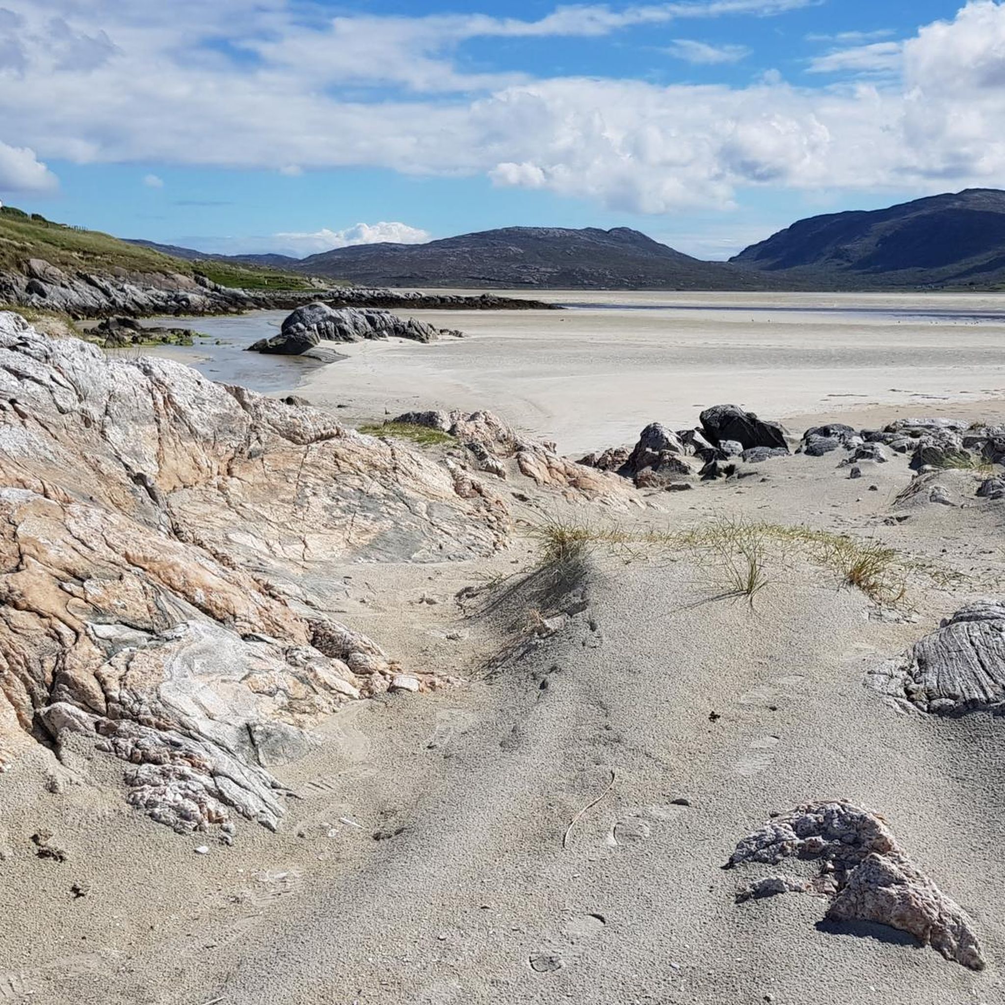
Explore the Luskentyre Beach and Dunes Trail, a moderate hiking route that takes you across vast stretches of white, shell-rich sand and alongside strikingly clear turquoise waters. This 5.1-mile (8.1 km) journey involves a gentle 210-foot (64 metres) elevation gain, typically completed in about 2 hours and 8 minutes. You will find incredible viewpoints across the Sound of Taransay to the island of Taransay, all set against the rugged Harris mountains.
When planning your visit, be aware that the short path from the Luskentyre beach parking area to the beach itself traverses sandy dunes and is not suitable for wheelchairs or buggies. It is important to check tide times before you venture far along the beach, as the tide can come in quickly and make certain routes impassable. Consider a common circular walk, which is mostly flat and follows firm sand and surfaced roads, making it a family-friendly option.
Beyond the immediate beach, you will discover the machair, a fertile plain that bursts with wildflowers in summer, adding vibrant color to the landscape. This trail offers a unique opportunity to explore one of Scotland's most celebrated coastal landscapes, known for its dramatic scenery and rich natural environment. It is a truly memorable experience for anyone seeking a coastal adventure.
Get access to more routes and recommendations from other explorers.
Sign up for free
Already have an account?
Our route recommendations are based on thousands of hikes, rides, and runs completed by other people on komoot.
Start today with a free account
Your next adventure awaits.
Login or Signup
Popular around North Harris
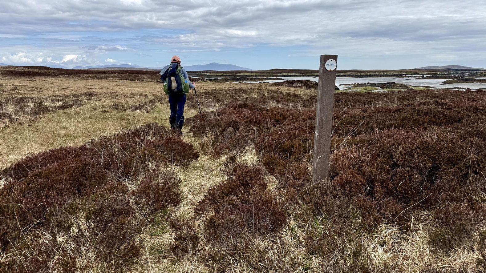
Hebridean Way – white sand, rugged hills and lochan-speckled moors
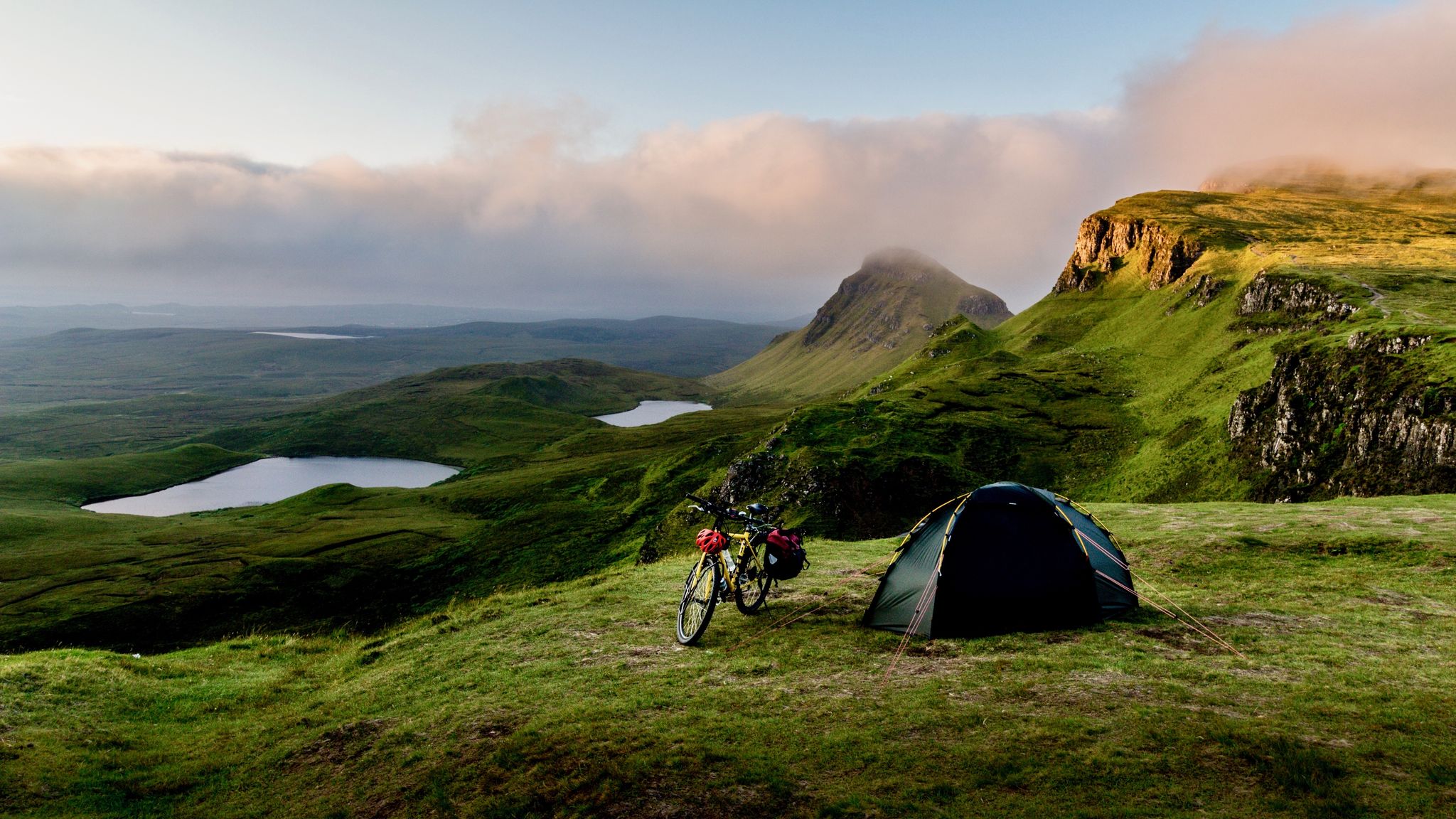
Hebridean hopscotch — cycling along Scotland's magical west coast
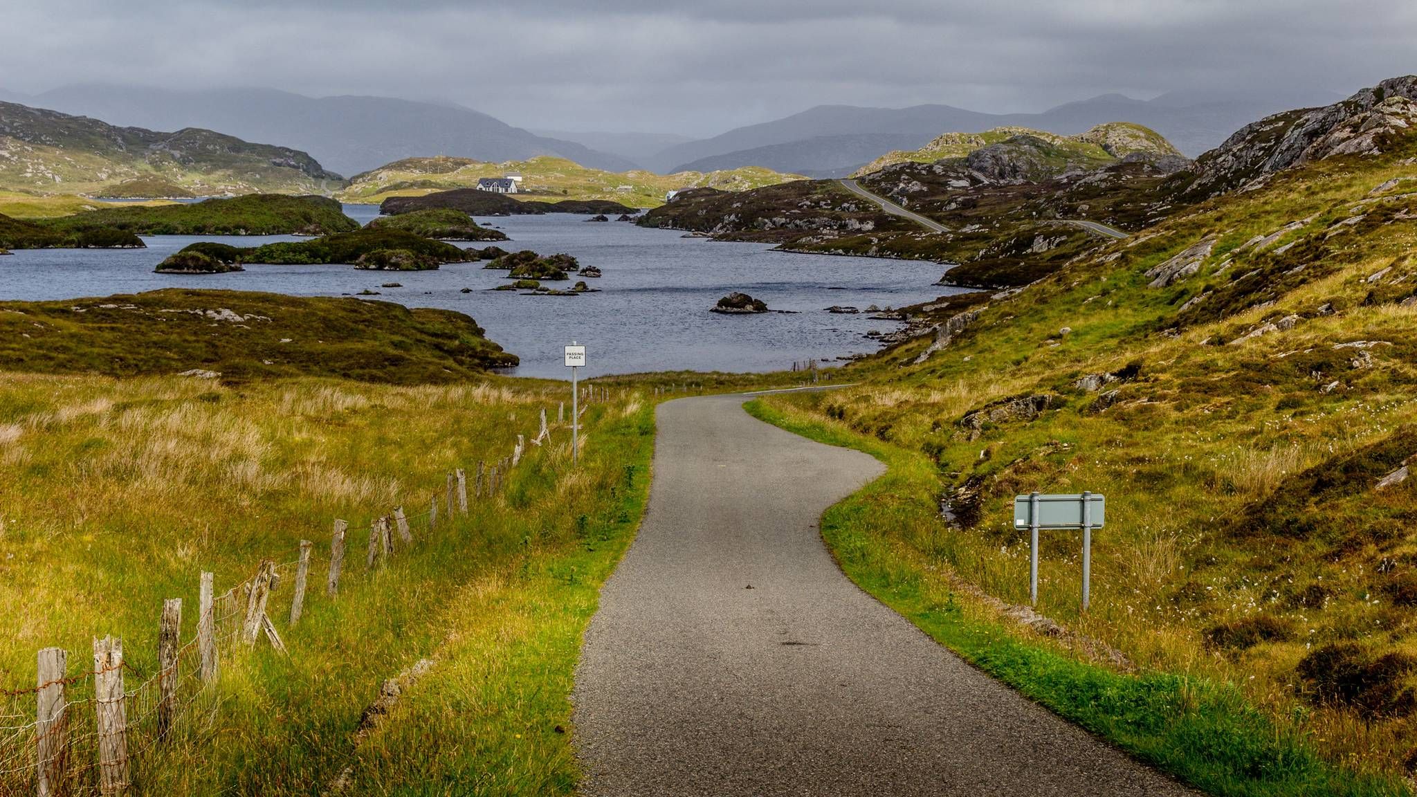
Cycling the Hebridean Way – Island hopping in the Scottish wilderness
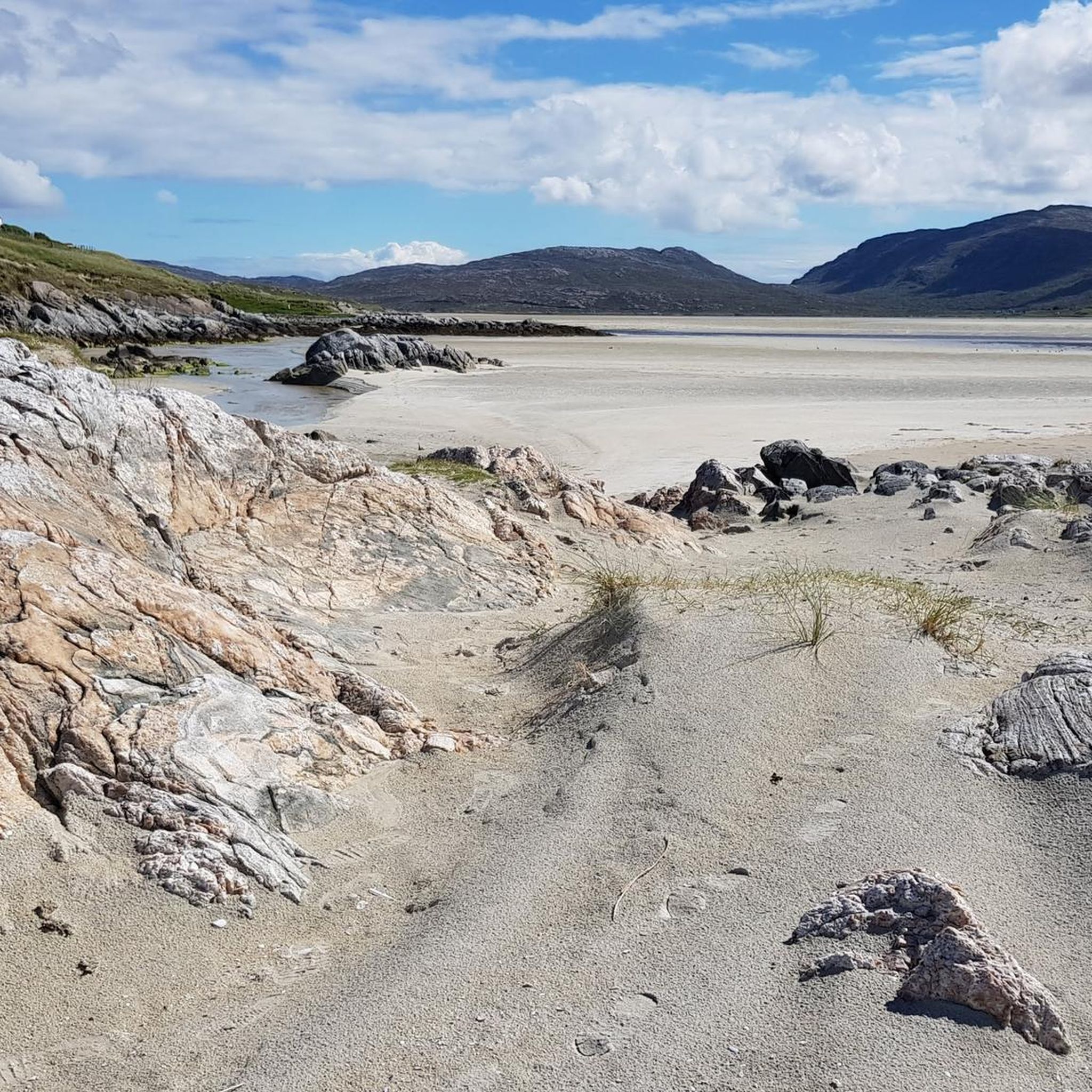
Cycling around North Harris
Road Cycling Routes around North Harris
MTB Trails around North Harris
Running Trails around North Harris
Other adventures around North Harris


Tips from the Community

It's really worth it when the sun is shining and the tide is out. It's hard to believe, but we were able to swim now in August, so bring your swimsuit if you need it! It's also worth bringing food, a blanket, etc., and sunscreen is important. There's nothing to buy here that you might forget!
1
0


At low tide you can go quite far out, almost to the island opposite.
0
2

Old ruins located in a picturesque spot on the banks of Loch Cleabhaig.
1
0
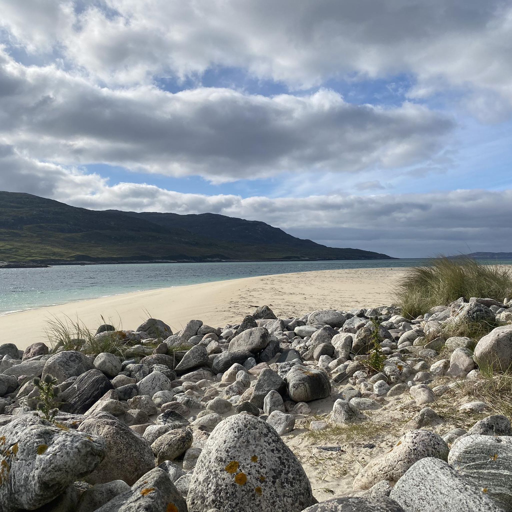
If someone blindfolded you and dropped you on this beach in the Outer Hebrides, it's safe to say you'd probably think you were in the Bahamas. This is a mighty fine example of the sensational tropical-style beaches that this area of Scotland has to offer.
2
0
Visiting the sensational Loch Crabhadail is a Hebridean classic. The loch and beach are surrounded by stunning Harris mountains and ooze the white sands and turqoise waters that are so common to the Hebrides.
1
0
A stunning walk along the ridge between Mulla bho Dheas and Mullach an Langa offering panoramic views across the wild landscape of North Harris in Scotland's Outer Hebrides.
1
0
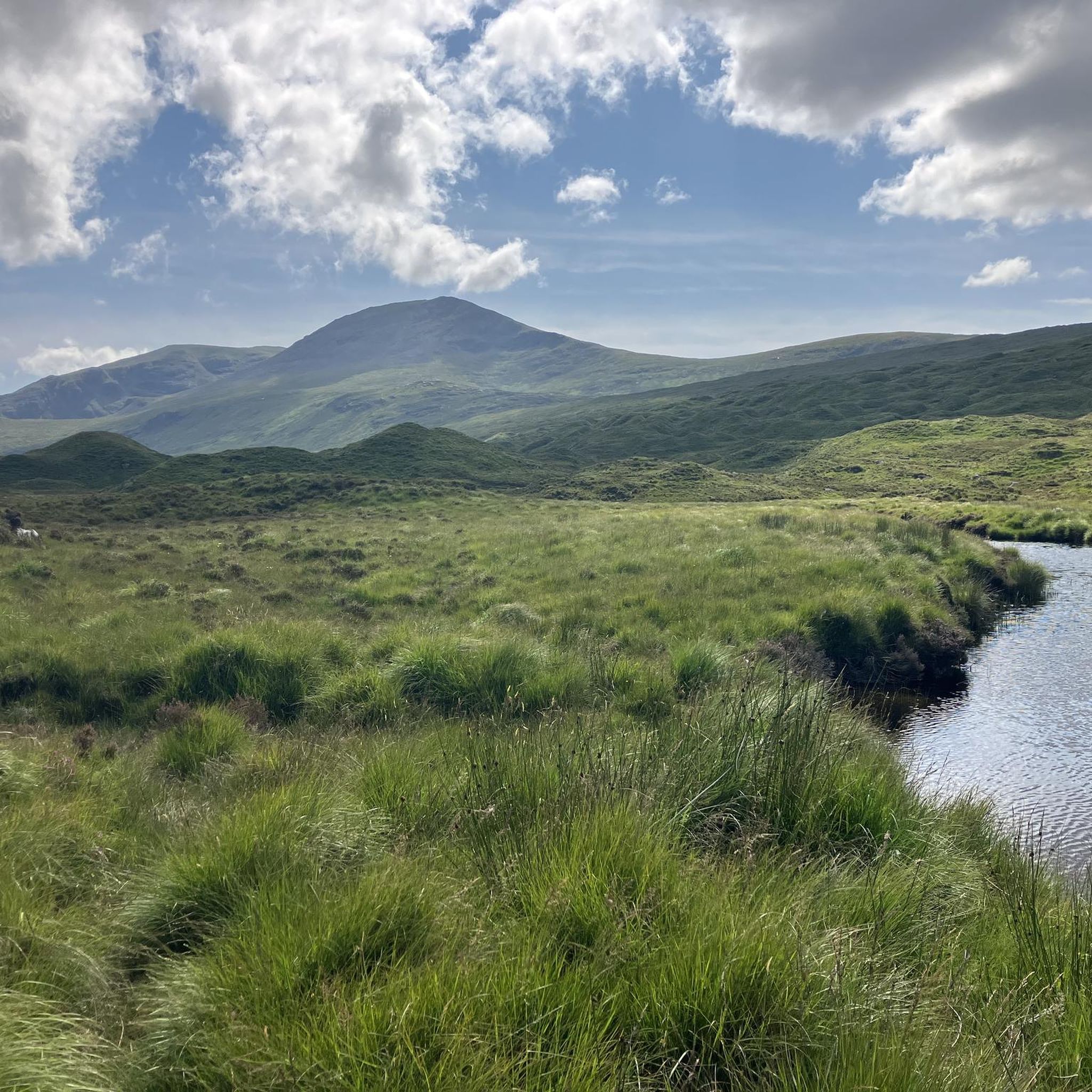
You'll be spoilt for choice on great views on your way up to the summit of Clisham, but this is a particularly lovely spot to stop and appreciate the wild and rugged landscape of North Harris.
1
0
Frequently Asked Questions
Are there any dog-friendly walks in North Harris?
Yes, many trails in North Harris are suitable for walking with a dog, but it's essential to keep them under control, especially near livestock and during bird nesting season (April-July). The walk to the North Harris Eagle Observatory & Loch Scourst is a great option on a well-defined path, though dogs are not permitted inside the observatory hide itself.
What are the best challenging hikes in the region?
For experienced hikers seeking a challenge, the An Cliseam, Mulla bho Dheas & Mullach an Langa loop is a demanding full-day excursion. This difficult route covers multiple peaks and involves steep ascents and descents on rough, often pathless terrain, rewarding you with incredible panoramic views.
Are there any easy, family-friendly walks?
North Harris offers several easier walks suitable for a wider range of abilities. The trail through Glen Meavaig is relatively flat and follows a good track. Coastal walks, such as exploring the vast expanse of Luskentyre beach at low tide, can also be a fantastic and less strenuous option for families.
Where can I find the best coastal walks with beaches?
The region is famous for its spectacular coastline. For a walk that takes in one of the most beautiful and secluded beaches, try the Tràigh Mheilein & Crabhadail from Hùisinis trail. This route leads you over a headland to a stunning white-sand beach that feels truly remote.
What is the best time of year to hike in North Harris?
The best time for hiking is typically from late spring to early autumn (May to September) when the weather is milder and daylight hours are long. The machair wildflowers are in full bloom in June and July. However, the weather in the Outer Hebrides is notoriously unpredictable, so always be prepared for wind and rain, regardless of the season.
How many hiking trails are there around North Harris?
You can explore nearly 20 curated hiking routes around North Harris. These range from easy loch-side strolls and beach walks to moderate coastal paths and difficult mountain ridge traverses, offering options for all levels of experience.
What do other hikers think of the trails in North Harris?
The trails are highly rated by the komoot community, with an average score of 4.5 out of 5 stars. Hikers frequently praise the profound sense of remoteness, the dramatic mountain scenery, and the stunning, often deserted, white-sand beaches.
What kind of wildlife might I see while hiking?
North Harris is a haven for wildlife. It's one of the best places in Europe to spot golden eagles, particularly around the Glen Meavaig area. You may also encounter red deer, otters, mountain hares, and a variety of seabirds. For a dedicated observation spot, visit the North Harris Eagle Observatory.
What is the terrain like on the direct ascent of Clisham / An Cliseam?
The direct route up Clisham / An Cliseam is a steep and challenging hike. The terrain is boggy and pathless in the lower sections, becoming progressively rockier and steeper as you approach the summit of the Outer Hebrides' highest peak.
Are there any good circular walks available?
Yes, while many routes are out-and-back to appreciate the views from both directions, there are circular options. The nearby Isle of Scalpay, connected by a bridge, has a well-known circular walk that takes you past a lighthouse and offers great coastal scenery. For a more strenuous mountain loop, consider the trails that traverse multiple peaks in the Clisham range.
What are the rules for wild camping in North Harris?
Wild camping is permitted in Scotland under the Scottish Outdoor Access Code, provided you follow the 'leave no trace' principles. This means camping away from buildings and roads, not staying in one spot for more than a couple of nights, and taking all your litter with you. Be mindful of the exposed and often boggy terrain when choosing a spot.
Most popular routes around North Harris
Most popular attractions around North Harris

Get inspired with the komoot mobile app


Explore more
Browse the best Hikes in other regions.
