The best traffic-free bike rides in Rannaleiten
4.5
(3269)
17,002
riders
149
rides
No traffic touring cycling routes in Rannaleiten are situated in a region characterized by rolling hills, river valleys, and agricultural landscapes, likely in Upper Austria given the route names. The terrain often features a mix of dedicated cycle paths and quiet country lanes, providing varied elevation profiles suitable for touring cyclists. This geographic location offers routes that traverse along rivers like the Danube and through forested areas, with some paths leading to viewpoints over the surrounding countryside. The area's natural…
Last updated: October 9, 2026
4.8
(32)
131
riders
53.4km
03:31
790m
790m
This difficult 33.2-mile touring cycling route offers panoramic views, challenging climbs, and a unique ferry ride through the Schlögen Loop
5.0
(10)
192
riders
17.1km
00:59
60m
60m
Easy bike ride. Great for any fitness level. Mostly paved surfaces. Suitable for all skill levels.

4.5
(16)
72
riders
35.4km
02:35
750m
750m
Hard bike ride. Very good fitness required. Mostly paved surfaces. Suitable for all skill levels.
3.0
(1)
15
riders
31.1km
02:22
560m
560m
Hard bike ride. Very good fitness required. Mostly paved surfaces. Suitable for all skill levels.
4.5
(4)
14
riders
67.9km
04:46
1,280m
1,280m
Hard bike ride. Very good fitness required. Mostly paved surfaces. Suitable for all skill levels.
Get access to more routes and recommendations from other explorers.
Already have an account?
Our route recommendations are based on thousands of hikes, rides, and runs completed by other people on komoot.
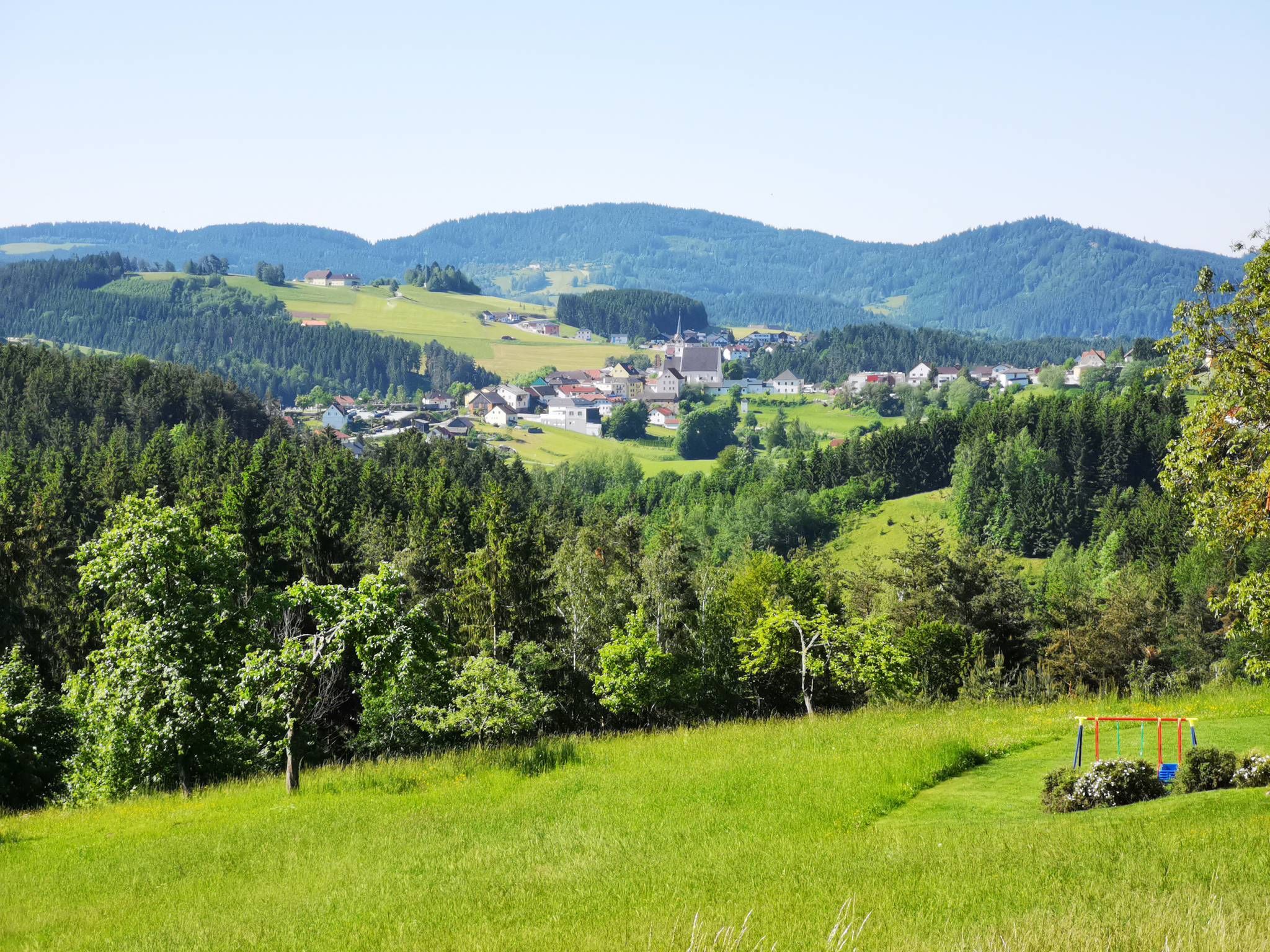

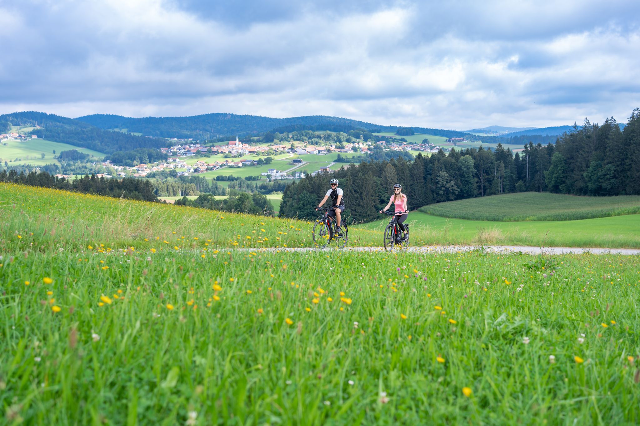
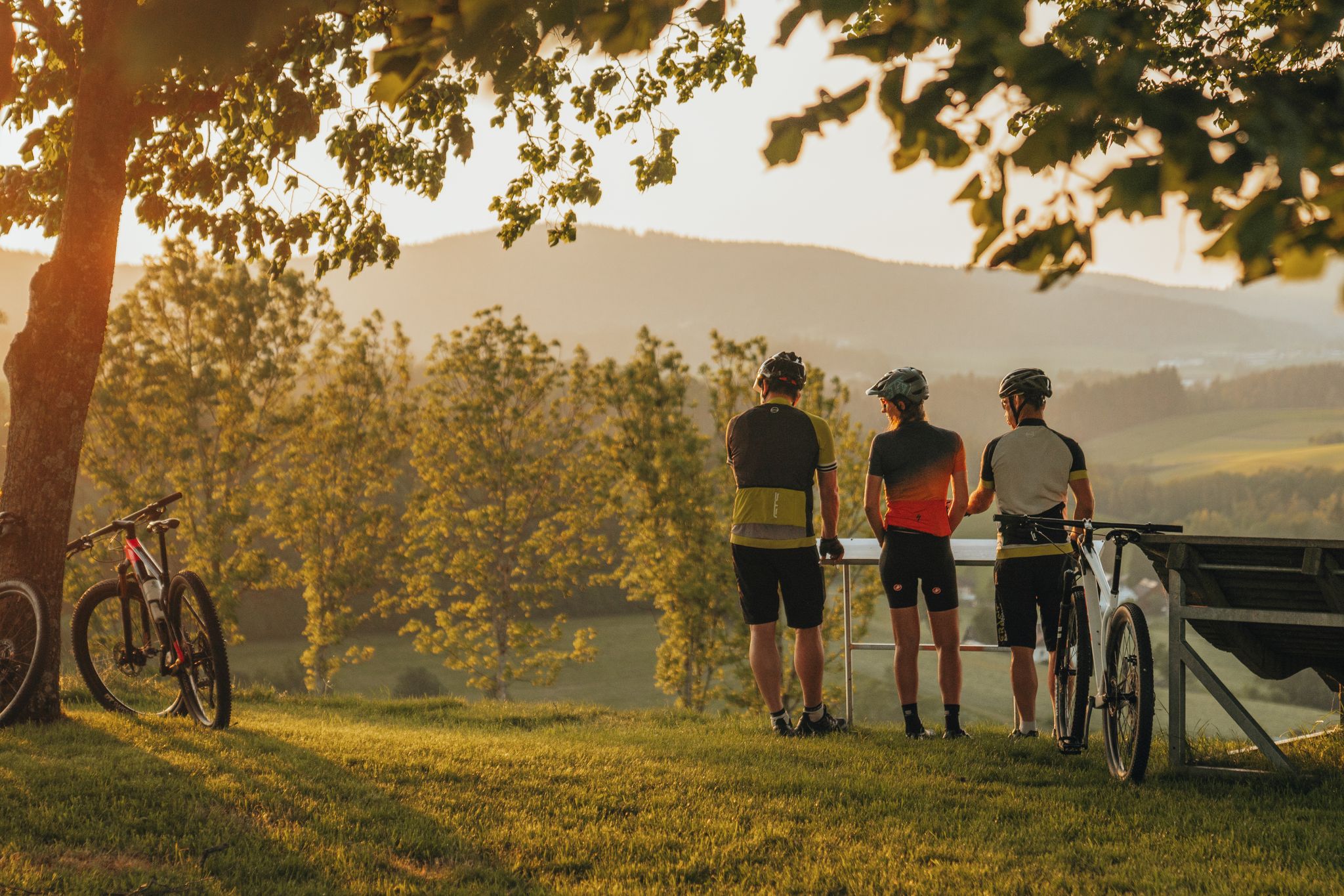
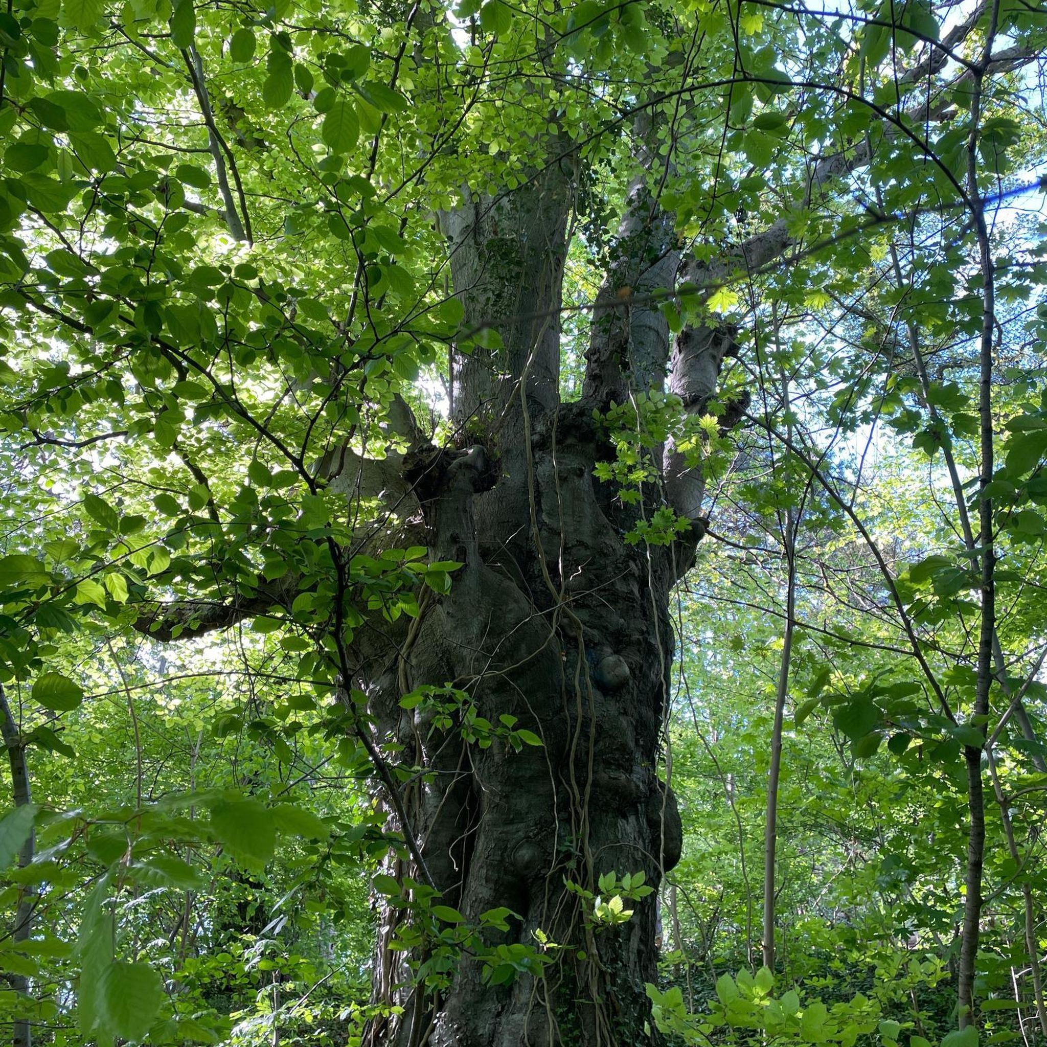
Other adventures in Rannaleiten


Tips from the Community

Here in the border area, the rocks of the Dreisesselberg at the western end of the Plöckenstein mountain range are always recognizable.
0
0

A picnic area has been set up here, right on the state border.
1
0

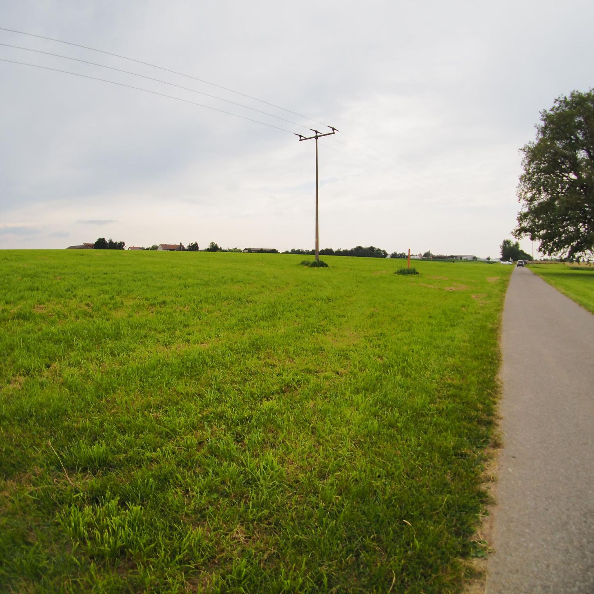
Here you can enjoy a beautiful view across the fields. It's worth pausing for a moment to take a breath.
0
0

A small highlight on the Danube Cycle Path.
4
0
The Schlögener Loop is an impressive natural wonder on the Danube, ideal for exploring by bike. The Danube Cycle Path leads through one of Austria's most beautiful river landscapes, offering breathtaking views of the famous Danube Bend.
6
0

beautiful views of the mountains of the Bohemian Forest as far as Lusen and Dreisessel in the Bavarian Forest
0
0

Kohlstatt (Wegscheid), district of the market town of Wegscheid.
0
0
Hartmannsreuth is a village that belongs to the Bärnlochweg hiking car park near Wegscheid in the Bavarian Forest.
0
0
Frequently Asked Questions
How many no-traffic touring cycling routes are available in Rannaleiten?
There are nearly 160 dedicated no-traffic touring cycling routes in Rannaleiten, offering a wide range of options for peaceful rides away from busy roads. These include quiet country lanes and dedicated cycle paths.
What is the general difficulty level of the no-traffic touring cycling routes?
The routes in Rannaleiten cater to various skill levels. While there are 12 easy routes perfect for beginners, the majority are moderate (48 routes) or difficult (99 routes), often featuring significant elevation changes. For an easy, scenic ride, consider the Schlögen Loop – Donaubus Au–Schlögen Ferry loop from Niederranna.
What kind of landscapes can I expect on these routes?
While Rannaleiten's specific geography isn't widely documented, the available routes suggest a diverse landscape. You can expect routes that traverse river valleys, such as those near the Danube, and potentially hilly or forested areas, given the prevalence of difficult routes with significant elevation gain. Routes like the Mühlviertler Dom Loop feature substantial climbs, indicating varied terrain.
Are there any notable landmarks or attractions along the no-traffic cycling routes?
Yes, several routes pass by interesting landmarks. You can cycle past the impressive Ranna Reservoir Dam, explore near the historic Falkenstein Castle Ruins, or discover unique features like the Water Pipeline Trail and the Fords Trail in the Ranna Valley. The Traditional Zille Boats on the Danube at Niederranna also offer a glimpse into local culture.
What do other touring cyclists enjoy most about cycling in Rannaleiten?
The area is highly rated by the komoot community, with an average score of 4.5 stars from over 2,700 ratings. Reviewers often praise the peacefulness of the no-traffic routes and the scenic beauty encountered, especially on longer, more challenging tours.
Are there any circular no-traffic touring cycling routes in Rannaleiten?
Yes, many of the no-traffic routes in Rannaleiten are designed as loops, allowing you to start and end at the same point. Examples include the Mühlviertler Dom Loop and the Schlögen Loop – Donaubus Au–Schlögen Ferry loop from Niederranna, which are both circular tours.
Can I find routes that offer viewpoints or scenic vistas?
Given the significant elevation changes on many routes, it's highly likely you'll encounter numerous viewpoints. For instance, the View of Wesenufer – Marsbach Castle loop from Niederranna explicitly highlights scenic views as part of its appeal, suggesting opportunities for panoramic vistas.
Are there any routes suitable for families with children?
For families, the 12 easy routes are the most suitable, as they typically have less elevation gain and shorter distances. The Schlögen Loop – Donaubus Au–Schlögen Ferry loop from Niederranna is an easy option that could be enjoyable for families, especially with the ferry experience.
Is public transport available to access the no-traffic cycling routes?
While specific public transport links for Rannaleiten are not detailed, regions with extensive cycling networks often have good connections. For areas near rivers like the Danube, ferry services (such as the Donaubus mentioned in one route) can also serve as a form of public transport for cyclists.
Are there any routes that pass by castles or historic sites?
Yes, you can find routes that incorporate historical elements. The View of Wesenufer – Marsbach Castle loop from Niederranna passes by Marsbach Castle, and the State Border Picnic Spot – Beautiful landscape loop from Burg Falkenstein starts near Falkenstein Castle, offering a blend of cycling and history.
What is the best time of year to go touring cycling in Rannaleiten?
While specific seasonal details for Rannaleiten are not available, generally, spring and autumn offer pleasant temperatures and beautiful scenery for touring cycling, avoiding the heat of summer and the cold of winter. These seasons often provide ideal conditions for enjoying the quiet country lanes and dedicated cycle paths.
Most popular routes in Rannaleiten
Most popular attractions in Rannaleiten

Get inspired with the komoot mobile app


Explore more
Browse the best Cycling routes in other regions.
