The best dog-friendly hikes and walks in Rannaleiten
4.6
(4180)
18,292
hikers
12
hikes
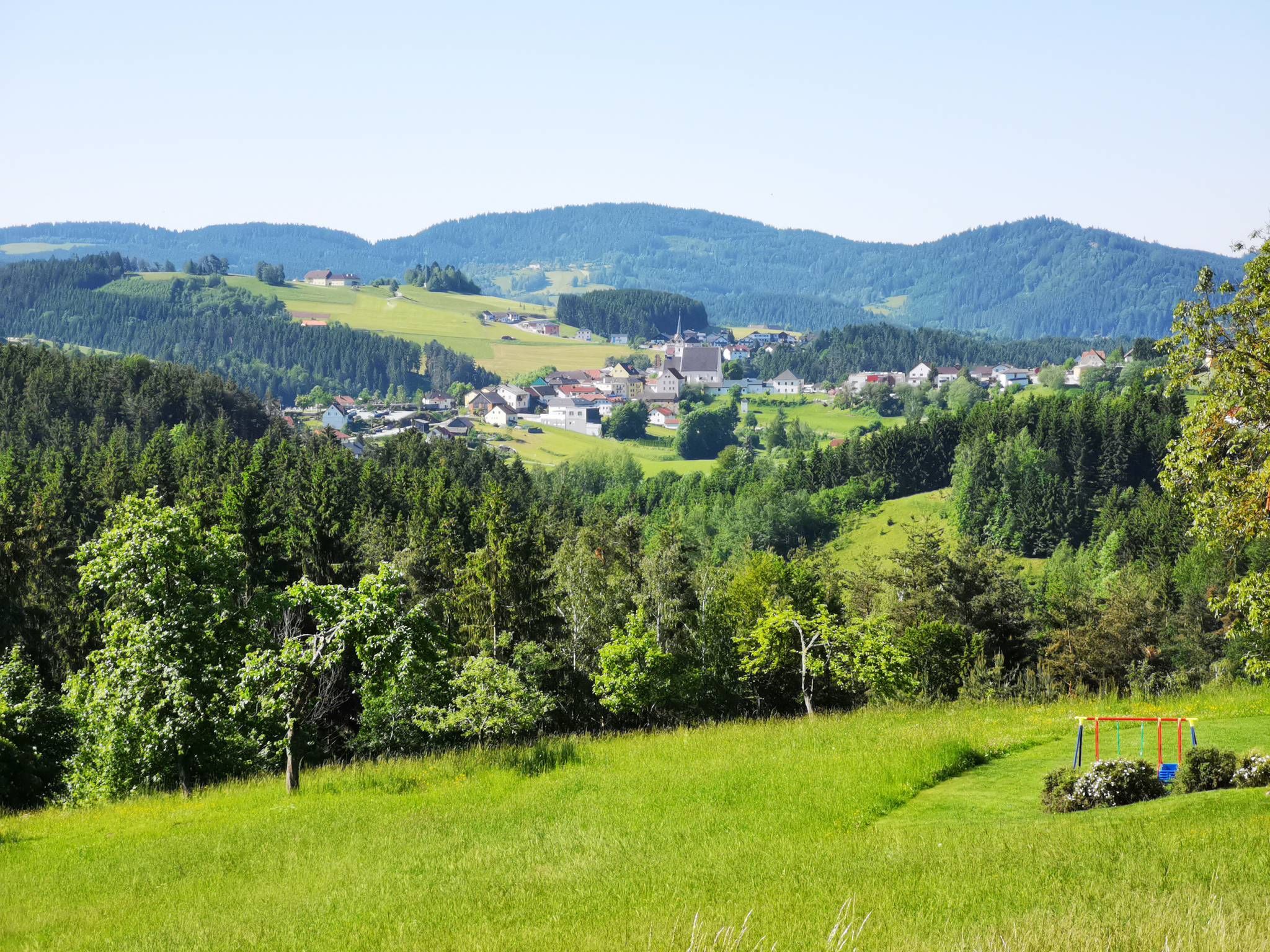
Dog friendly hiking trails in Rannaleiten traverse a landscape characterized by gentle hills and varied woodlands, offering accessible outdoor experiences. The region features a network of paths that wind through meadows and along small streams, providing diverse scenery for hikers and their canine companions. Elevation changes are generally moderate, making many routes suitable for a range of fitness levels. The terrain primarily consists of well-maintained dirt paths and forest trails.
Best dog friendly hiking trails in Rannaleiten
- The most popular…
Last updated: May 26, 2026
5
hikers
6.30km
01:43
100m
100m
Easy hike. Great for any fitness level. Easily-accessible paths. Suitable for all skill levels.
4.0
(1)
2
hikers
9.32km
02:31
120m
120m
Moderate hike. Good fitness required. Easily-accessible paths. Suitable for all skill levels.

Sign up for free
8
hikers
Easy hike. Great for any fitness level. Easily-accessible paths. Suitable for all skill levels.
2
hikers
7.13km
01:55
80m
90m
Easy hike. Great for any fitness level. Easily-accessible paths. Suitable for all skill levels.
3.7
(7)
18
hikers
5.58km
01:35
130m
130m
Easy hike. Great for any fitness level. Easily-accessible paths. Suitable for all skill levels.
Get access to more routes and recommendations from other explorers.
Sign up for free
Already have an account?
Our route recommendations are based on thousands of hikes, rides, and runs completed by other people on komoot.
Start today with a free account
Your next adventure awaits.
Login or Signup

Other adventures in Rannaleiten


Tips from the Community

Kreuz is a village in the market town of Natternbach in the district of Grieskirchen in Upper Austria.
0
0
On the Indian Trail hiking path from Eck to Untereck.
0
0
Eck in Natternbach is a market town in Upper Austria in the district of Grieskirchen in the Hausruckviertel region
0
0
The circular tour starts at the inn in the valley, with friends from the hiking group.
0
0
The circular tour starts at the inn in the valley.
0
0
View of Simling from the Dorfer hiking trail.
0
0
Schauerlix on the forest hiking trail to Neuhofen.
0
0
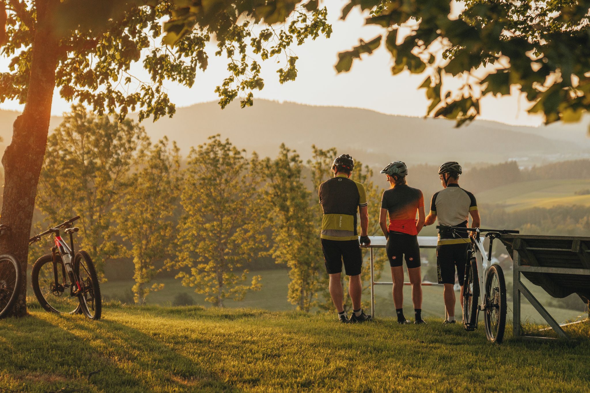
beautiful sunset on our hike in Simling
0
0
Frequently Asked Questions
How many dog-friendly hiking trails are available in Rannaleiten?
Rannaleiten offers a selection of 12 dog-friendly hiking trails, catering to various preferences for you and your canine companion. These include both easy and moderate options.
What are the difficulty levels of dog-friendly trails in Rannaleiten?
The dog-friendly trails in Rannaleiten are categorized as easy and moderate. You'll find 6 easy routes, perfect for a relaxed stroll, and 6 moderate routes for a slightly more challenging adventure with your dog.
Are there any easy dog-friendly loop trails in Rannaleiten?
Yes, Rannaleiten features several easy loop trails suitable for dogs. For example, the Meadow Path in Kreuz – Kreuz loop from Waldhäuser is an easy 6.3 km route with minimal elevation gain, ideal for a leisurely walk with your pet.
What kind of landscapes can I expect on dog-friendly hikes in Rannaleiten?
While specific details about Rannaleiten's landscape are not readily available, regions known for great outdoor activities often feature diverse trail systems through varied landscapes. You can typically expect a mix of forests, open meadows, and potentially riverside paths, providing a stimulating environment for both you and your dog.
Are there any longer dog-friendly routes for more experienced hikers?
For those seeking a longer outing, the Boundary Stone of 1731 – Pfeneberg loop from Rothstadler is a moderate 9.3 km trail. It offers a good distance for a more extended adventure with your dog.
What can I see along the dog-friendly hiking trails in Rannaleiten?
Along the trails in Rannaleiten, you can discover several interesting points. Highlights include the impressive Ranna Reservoir Dam, the historic Falkenstein Castle Ruins, and scenic paths like the Water Pipeline Trail and the Fords Trail in the Ranna Valley. You might also spot traditional Zille Boats on the Danube at Niederranna.
What do other hikers enjoy most about hiking in Rannaleiten with their dogs?
The komoot community highly rates the trails in Rannaleiten, with an average score of 4.6 out of 5 stars from nearly 4,000 reviews. Hikers often praise the well-maintained paths and the variety of routes suitable for dogs, from gentle strolls to more engaging moderate hikes.
Are there any dog-friendly trails with notable viewpoints?
Yes, some trails offer scenic views. The Drinking Fountain in Stadl – View of Simling loop from Engelhartszell an der Donau is an easy 4.4 km route that provides views of Simling. Another option is the Schauerlix – View of Stadl loop from Engelhartszell an der Donau, an easy 7.1 km trail with views of Stadl.
What is the typical length and duration of dog-friendly hikes in Rannaleiten?
The dog-friendly hikes in Rannaleiten vary in length, generally ranging from around 4 km to over 9 km. Durations can range from approximately 1 hour to 2.5 hours, depending on the trail and your pace with your dog.
Are there any trails that lead to a summit or offer a higher elevation experience?
For a hike with a bit more ascent, consider the Ameisberg Summit (729 m) – Mystical Rock Formation loop from Großfasching. This easy 5.6 km trail includes a climb to the Ameisberg Summit, offering a rewarding experience for you and your dog.
What should I consider when planning a dog-friendly hike in Rannaleiten?
When planning your hike, always check the specific trail regulations regarding dogs, such as leash requirements. Ensure you bring enough water for both yourself and your dog, especially on longer routes, and be prepared for varying terrain. It's also advisable to carry waste bags and dispose of them properly.
Most popular routes in Rannaleiten
Most popular attractions in Rannaleiten

Get inspired with the komoot mobile app


Explore more
Browse the best Hikes in other regions.
