The best city hikes and walks around Bovec
4.5
(15493)
69,632
hikers
3
hikes
Urban hiking trails around Bovec offer accessible routes for exploring town centers and their immediate surroundings. The region provides a setting for walks that combine historical points of interest with local urban landscapes. These trails are generally short and feature minimal elevation gain, making them suitable for casual strolls. The focus is on discovering the character of the towns and their nearby gentle terrain.
Best urban hiking trails around Bovec
- The most popular urban hiking route is Tarvisio Fortified Church…
Last updated: November 5, 2026
5.0
(2)
23
hikers
Easy hike. Easily walkable paths.
7
hikers
3.01km
00:49
40m
40m
Easy hike. Easily walkable paths.

8
hikers
3.36km
00:55
40m
40m
Easy hike. Easily walkable paths.
Our route recommendations are based on thousands of hikes, rides, and runs completed by other people on komoot.
Start today with a free account
Your next adventure awaits.
Popular around Bovec
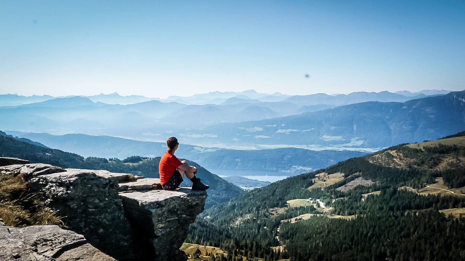
Alpe-Adria-Trail: My long-distance hike from the glacier to the sea
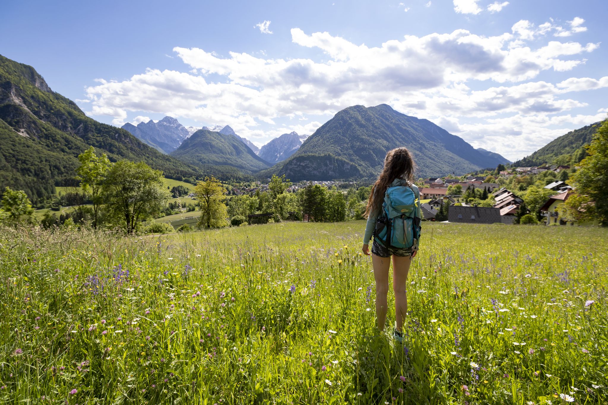
Uniquely secluded - long-distance hiking on Slovenia's Juliana Trail
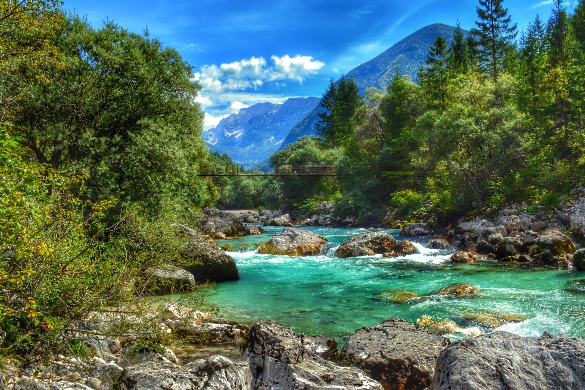
Turquoise water and mountain meadows – hike along the Soča in Slovenia
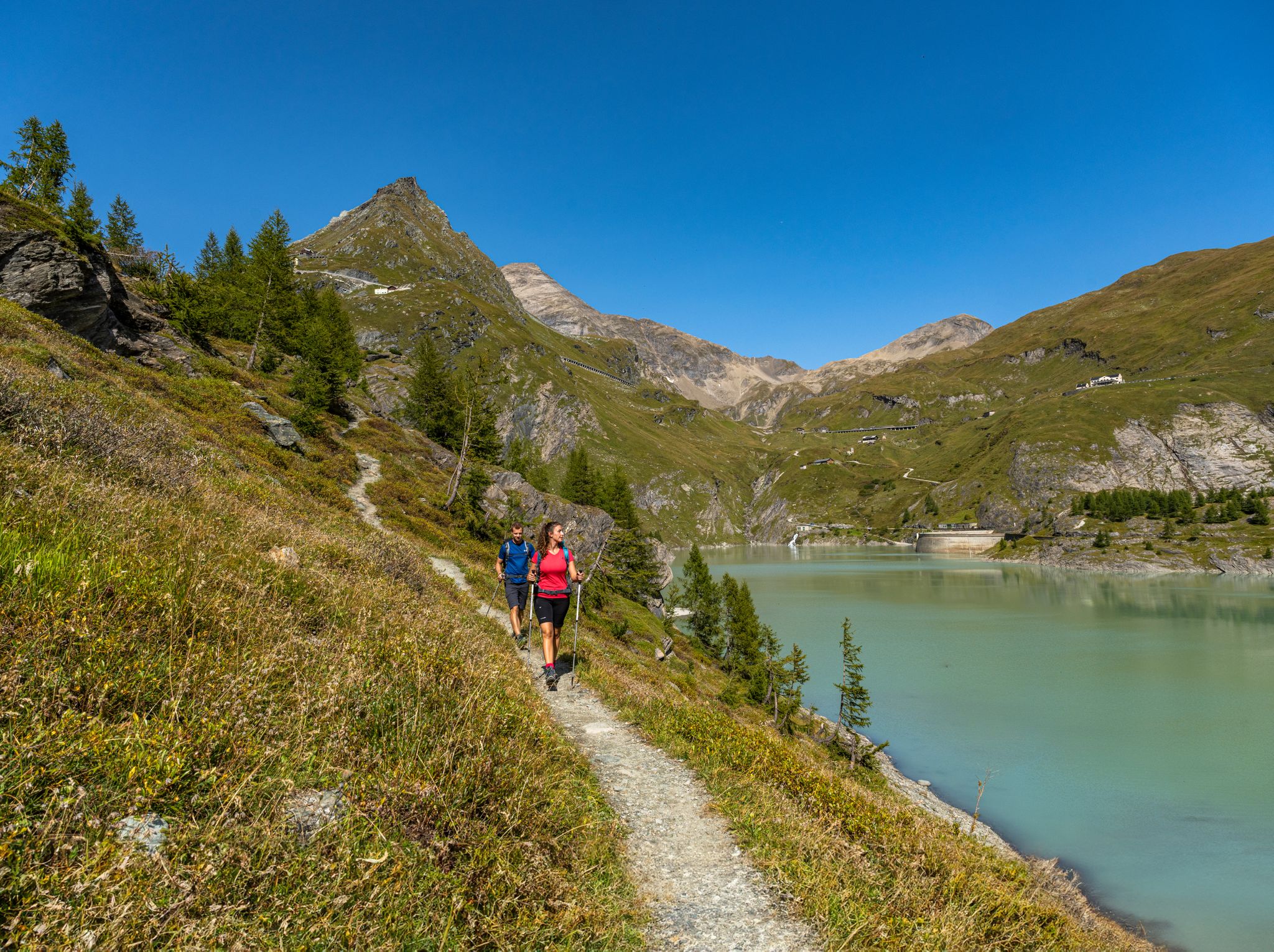
From the Grossglockner to the sea on the Alpe Adria Trail
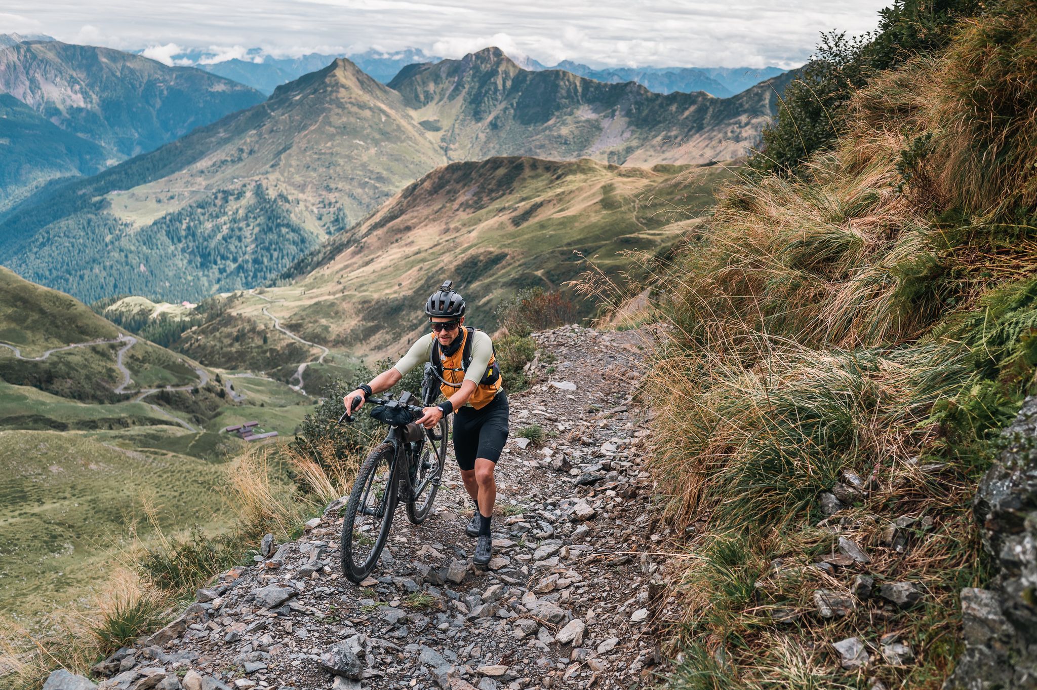
Sneak Peaks ADVENTURE 🥇
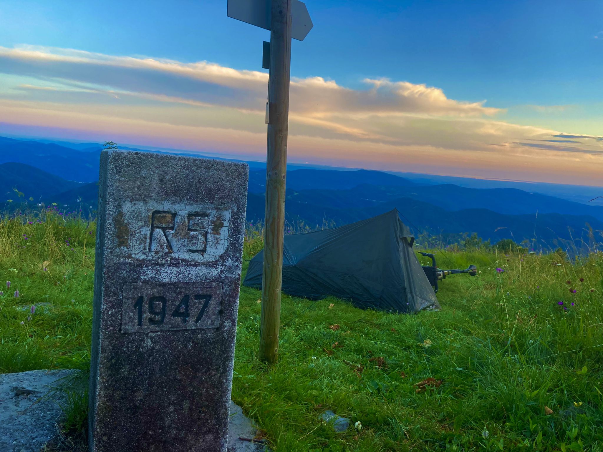
From Bavaria to the Adriatic - My Bikepacking Adventure to Croatia 2023
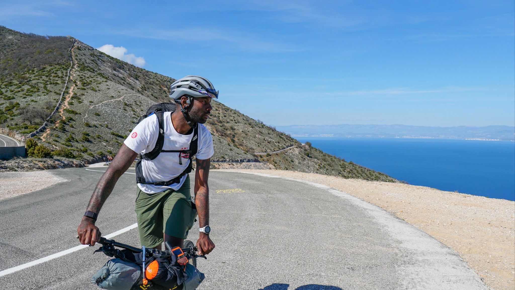
Slovenian mountains to island hopping around the Adriatic Crest
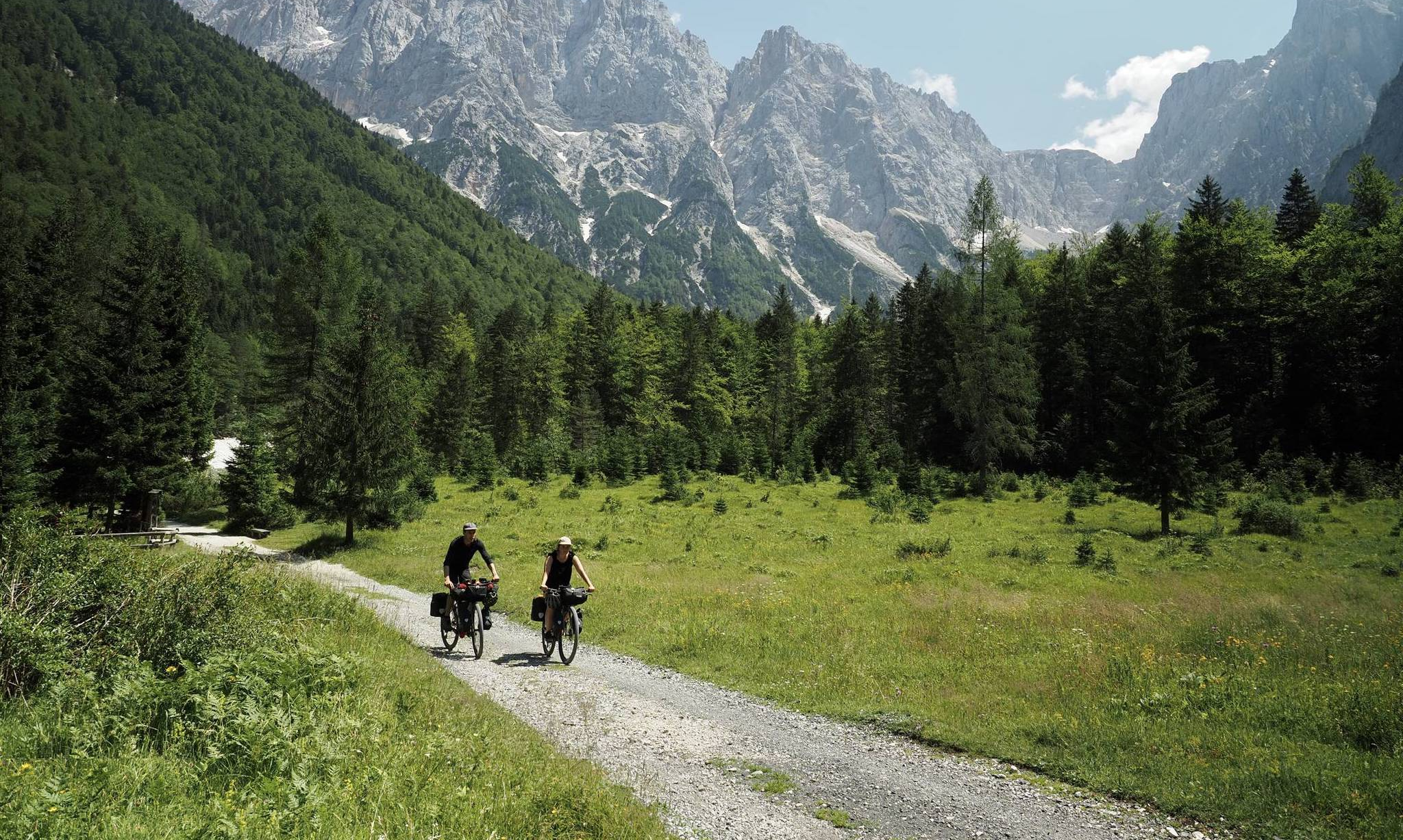
Slovenia West Loop (Soča Variation) – Bikepacking
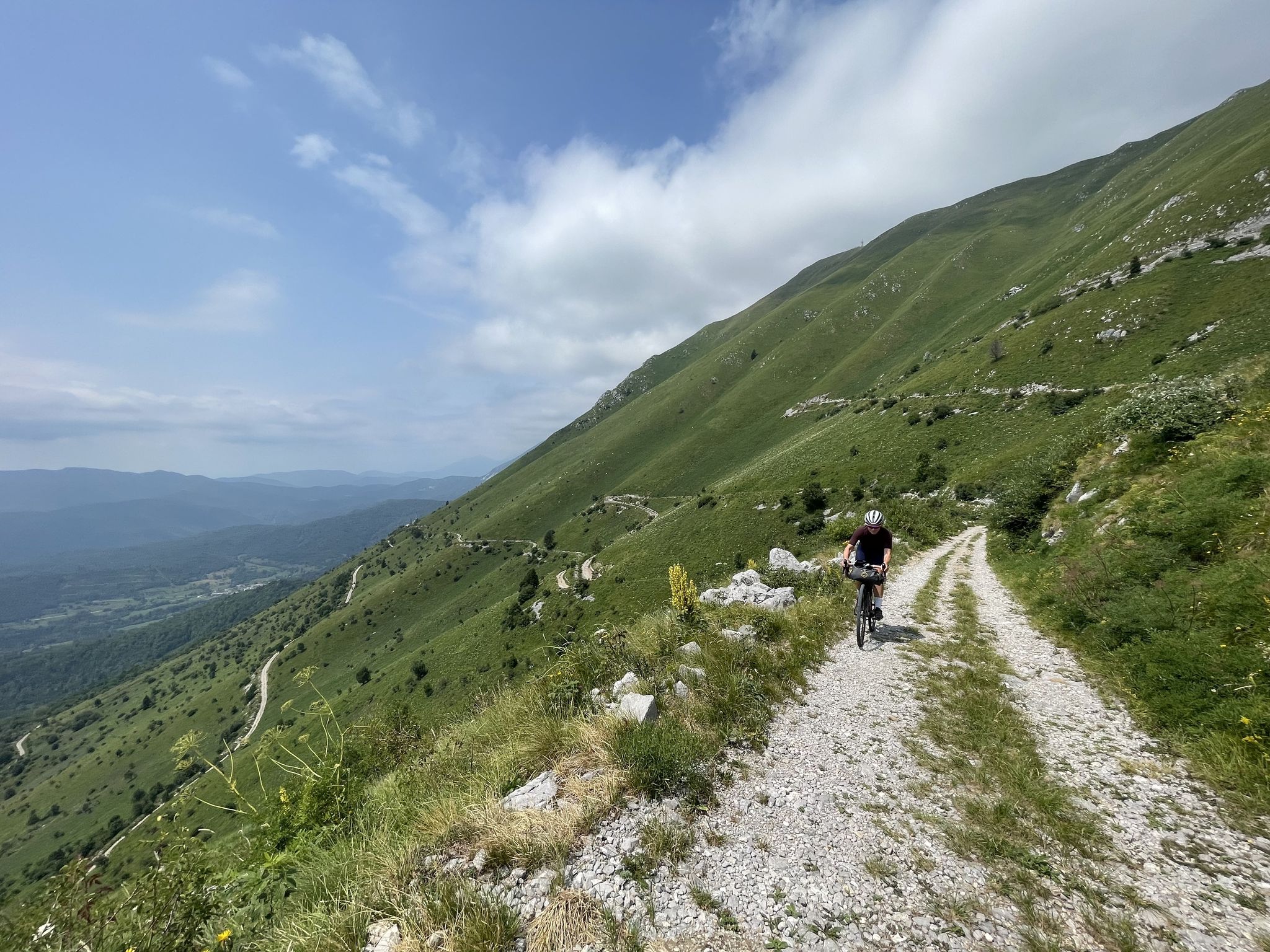
The West Loop — Bikepacking Slovenia in five days
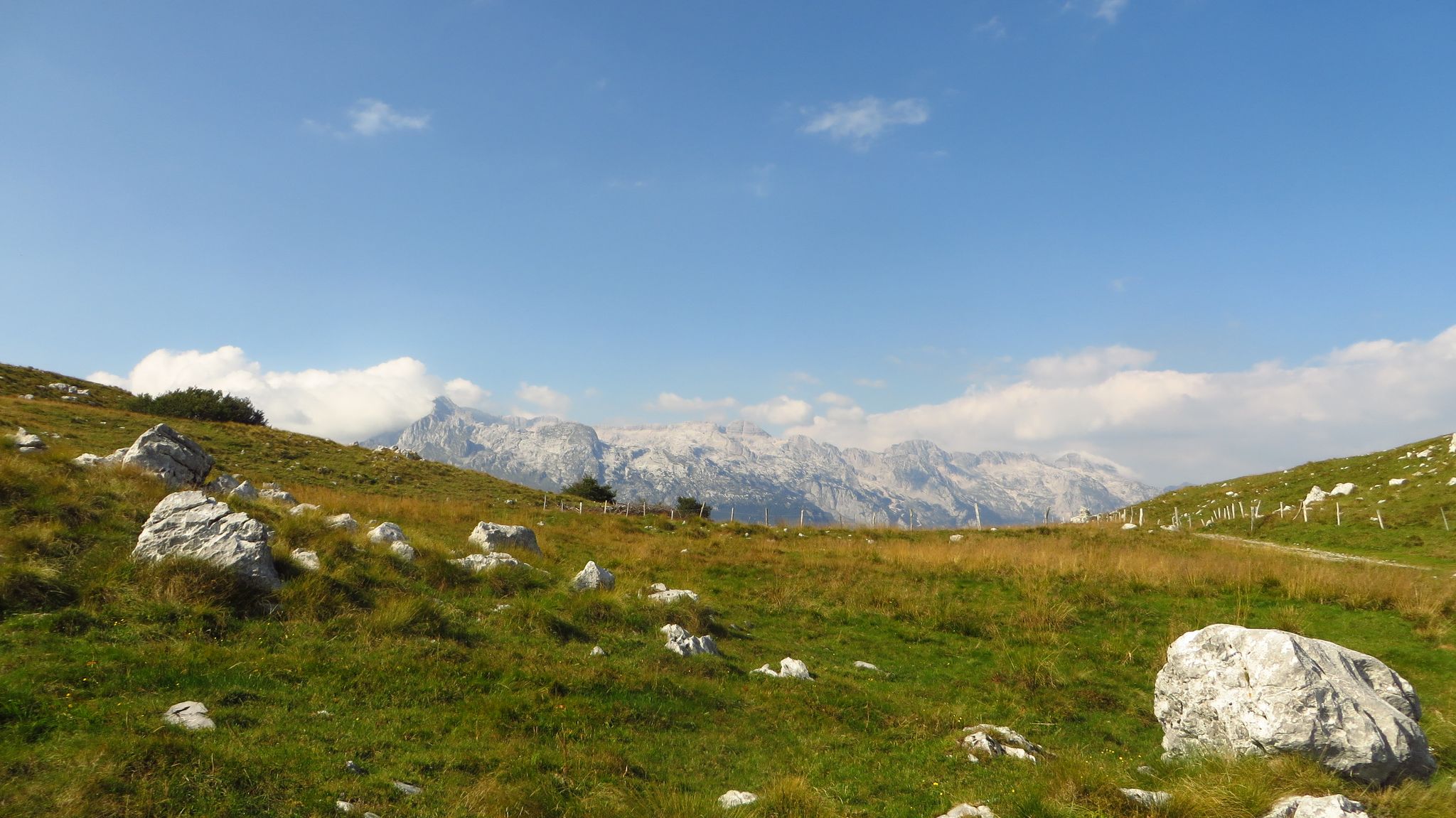
Alpe Adria – MTB Transalp through Slovenia to the Mediterranean Sea
Other adventures around Bovec


Tips from the Community

• Riding from Tarvisio to Camporosso, you cross the so-called Sella di Camporosso at an altitude of 816 m above sea level. This is the lowest pass in the entire Alps and forms the main European watershed. You cross an invisible hydrological border: rivers on the Tarvisio side flow east to the Danube and empty into the Black Sea, while streams on the Camporosso side flow west to the Tagliamento river and empty into the Adriatic Sea.
0
0

Tarvisio is a renowned mountain resort located in the heart of the Julian Alps, in the far north-east of Friuli-Venezia Giulia. Positioned at the triple border between Italy, Austria and Slovenia, it is a fascinating meeting point of different cultures, languages and traditions. Immersed in pristine nature, the town is surrounded by centuries-old forests such as the famous Foresta di Tarvisio, majestic peaks and spectacular bodies of water, among which the evocative Laghi di Fusine and Lago di Predil stand out. During the winter season, it transforms into a popular ski area with panoramic slopes such as the renowned Promor, while in summer it offers endless trails for trekking, mountain biking and walks along the Ciclovia Alpe Adria. A unique place for those seeking adventure, relaxation and great alpine charm at any time of the year.
0
0

Nice bars in the immediate vicinity.
0
0

Join us for a trip to the Italian border town of Tarvisio. Stroll through the covered market hall.
0
0
The Italian border town lies at the tripoint of Italy, Slovenia, and Austria. Besides its importance as a starting point for mountain tours and as a winter sports resort,
0
0

The church is located directly on the Alpe-Adria Cycle Path. There's also a nice rest area with drinking water.
0
0

...from Tarvisio, a well-developed cycle path leads south through the Val Canale 🚴♂️! Some of the good rest stops are right along the cycle path! 👀😋
4
0
Frequently Asked Questions
How many urban hiking trails are available in this guide for the Bovec area?
This guide features a selection of four easy urban hiking trails, perfect for exploring nearby towns and their surroundings on foot. All routes are designed for a relaxed experience, with minimal elevation gain.
What kind of terrain can I expect on urban walks near Bovec?
The urban walks featured in this guide are generally easy, with low elevation gain, making them suitable for most fitness levels. You can expect paved paths, town streets, and possibly some well-maintained park trails, focusing on exploring the urban environment rather than rugged natural terrain.
Are there any circular urban walks available?
Yes, all the urban routes in this guide are circular, allowing you to start and end your walk in the same location. For example, you can enjoy the Tarvisio Fortified Church – Tarvisio Town Centre loop or the shorter Tarvisio Fortified Church – Tarvis loop.
What are some interesting places to explore along urban trails near Bovec?
While the immediate Bovec area is known for its natural beauty, the urban trails featured in this guide offer a different perspective. You can explore town centers and historical sites. For instance, the Tarvisio Fortified Church – Tarvisio Town Centre loop takes you through the town center and past a fortified church.
What do other hikers say about the urban trails in this region?
The komoot community highly rates the hiking experiences in this region, with an average score of 4.5 stars from over 13,000 ratings. Hikers often appreciate the well-maintained paths and the opportunity to explore local culture and history on these easy urban walks.
Are there any family-friendly urban hikes?
Absolutely. All the urban hikes in this guide are rated as easy, making them suitable for families with children. Their short distances and minimal elevation gain ensure a pleasant experience for all ages. Consider the Tarvis – Tarvisio Town Centre loop for a relaxed family outing.
Can I bring my dog on these urban walks?
Yes, urban walks are generally dog-friendly, provided your dog is kept on a leash and you adhere to local regulations regarding pets in public spaces. These easy, low-impact routes are suitable for most dogs.
What is the typical length and duration of these urban walks?
The urban walks in this guide range from approximately 2.2 kilometers to 3.9 kilometers in length. They typically take between 35 minutes to just over an hour to complete, depending on your pace and how often you stop to explore.
Are there any notable natural features or attractions near these urban trails?
While these specific urban trails focus on town exploration, the broader Bovec region is rich in natural wonders. You can find stunning features like the Large Soča rock pools, the beautiful Virje Waterfall, and the iconic Soča River nearby, which are accessible via other trails in the area.
What is the best time of year for urban hikes in the Bovec region?
Urban hikes can be enjoyed year-round. Spring and autumn offer pleasant temperatures and fewer crowds, while summer is ideal for combining walks with other outdoor activities. Even in winter, these low-altitude routes can be accessible, though you should check local conditions for snow or ice.
Are there any cafes or places to eat along these urban trails?
Since these routes pass through town centers, you will find various cafes, restaurants, and shops where you can stop for refreshments or a meal. The Tarvisio Town Centre – Foggy panoramic view loop, for example, offers opportunities to experience local hospitality.
Most popular routes around Bovec
Most popular attractions around Bovec

Get inspired with the komoot mobile app


Explore more
Browse the best Hikes in other regions.
