Top 13 Mountain Passes around Zwischenwasser
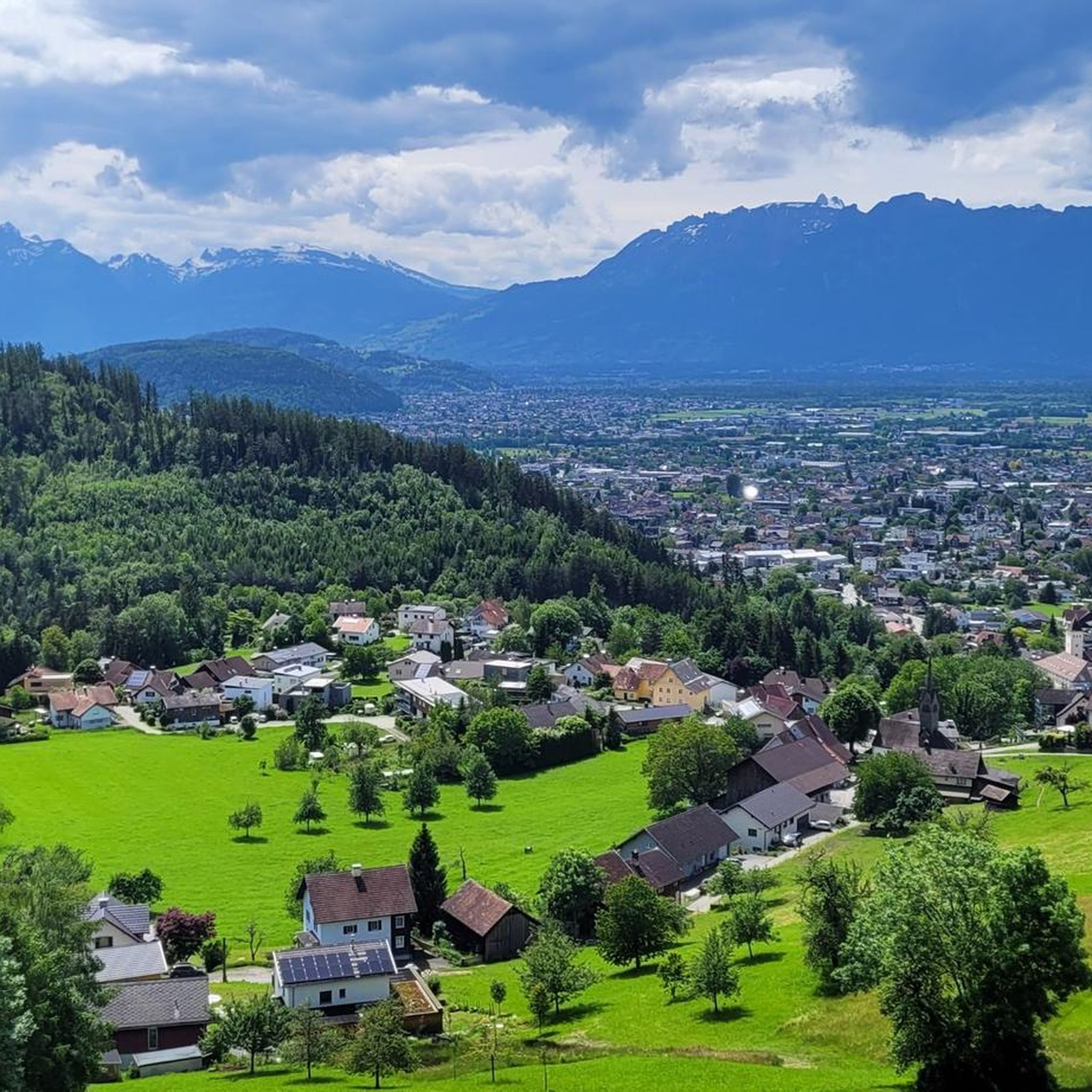
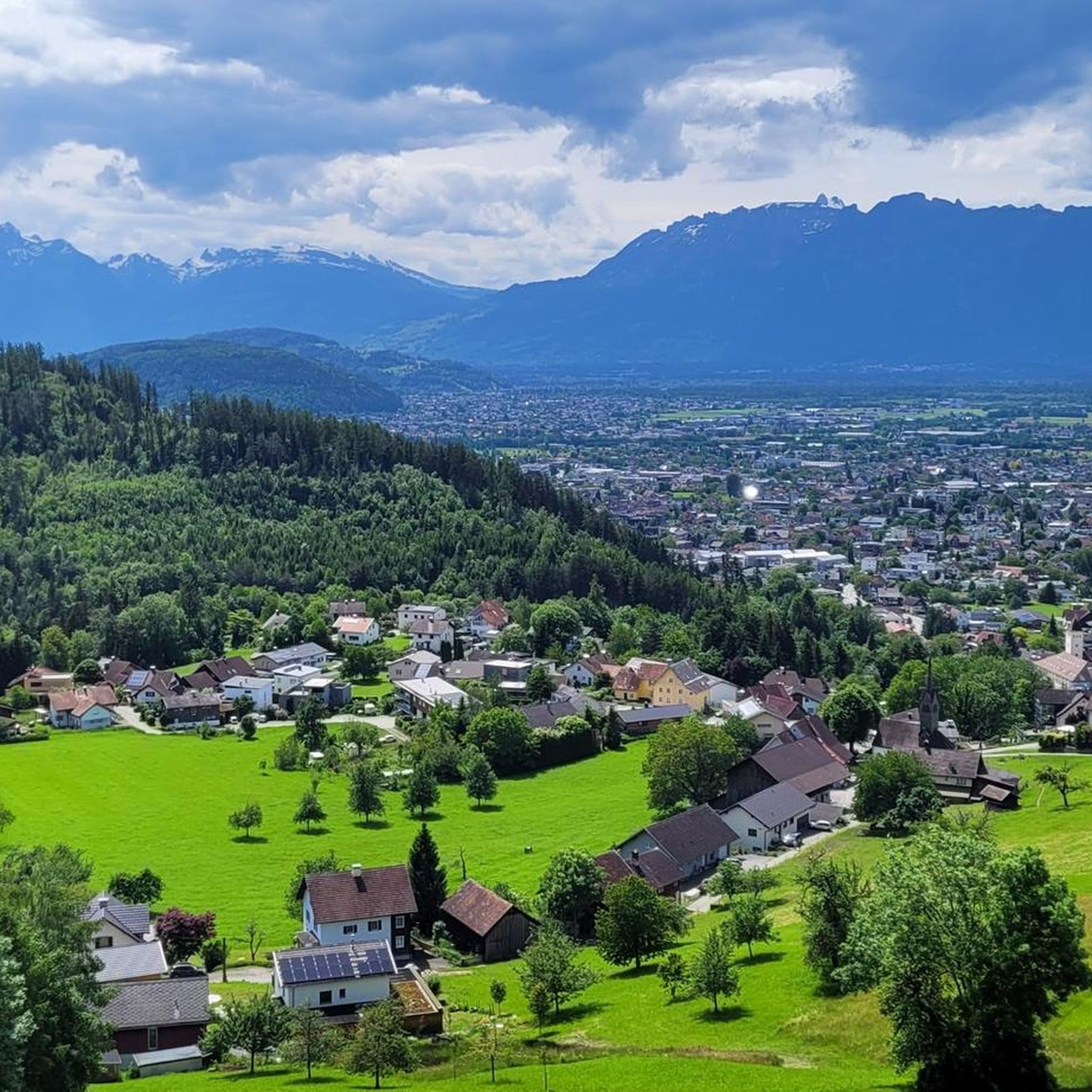
Mountain passes around Zwischenwasser are situated in the mountainous Vorarlberg region of Austria, at an elevation of 525 meters. The area is characterized by its alpine environment, offering diverse landscapes from valleys to peaks like Hoher Freschen at 2,004 meters. While the municipality itself is known for hiking, the broader region features distinct mountain passes connecting valleys. This area provides opportunities for exploring natural beauty and challenging alpine routes.
Best mountain passes around Zwischenwasser
- The most popular mountain passes is…
Last updated: August 4, 2026
Sünser Pass
Highlight • Mountain Pass
Translated by Google •
Tip by

Staufen (Bregenzerwald Mountains)
Highlight • Summit
The paths to the Staufenspitz are sometimes very demanding, so you should first find out carefully which path you want to take.
Translated by Google •
Tip by

Sign up now to discover places like this
Get recommendations on the best single tracks, peaks, & plenty of other exciting outdoor places.
Sign up for free
Vordere Ugaalpe with a view of the Mittagsspitze
Highlight • Viewpoint
Translated by Google •
Tip by
Matonajöchle
Highlight • Viewpoint
Translated by Google •
Tip by
Schluchtensattel Ridge
Highlight • Summit
Translated by Google •
Tip by
Sign up for free to discover even more mountain passes around Zwischenwasser.
Sign up for free
Already have an account?
Start today with a free account
Your next adventure awaits.
Login or Signup

Tips from the Community

Wonderful ridge with wide views, great variety of flowers and beautiful explanations
0
0

And then it lies down there like a forgotten eye of the landscape: Lake Süns. Dark and round, framed by undulating meadows where summer dwells. No noise, no boats, no paths that claim to lead to the shore. The lake simply looks back – as if you yourself were the stranger in a story that has been told here for much longer. Whoever reaches the pass stands on a line between worlds. Behind you is the lake, in front of you the path to the peak – and to the side, the view stretches far down, where the Rhine Valley disappears. On a clear day, some say you can see Lake Constance. I think you see yourself above all – smaller, but also lighter than you thought. It's not the grand gestures that characterize this hike. It's the way the light clings to the slopes, the way the wind accompanies the path, the way the trail doesn't lead you but invites you. And anyone standing up there—between the Ragazer Grat, the Sünser Joch, and the dark blue of the small lake—may notice: The most beautiful places don't scream. They whisper.
1
0

Destination of the hiking trail. To the right to the mountain station, Elsenkopfalpe and further to the swing. To the left to the lake circular trail and to the Mittagsspitze.
0
0

A path that is a lot of fun. From root paths to mountain climbing and up to 2 ladders. Really recommended.
4
0

The Damülser Mittagsspitze is 2095 m above sea level. A. high mountain in the Bregenzerwald Mountains in the Austrian state of Vorarlberg. It is the highest elevation in the municipality of Damüls and the main peak of the Damüls Mountains. The original name of this mountain was Trista. It got its current name from the residents of Mellau because, from their perspective, the mountain is in the south, i.e. in "midday". Source: Wikipedia
0
1

The panoramic trail is simply wonderful!
0
0
Alpine flower meadows at their finest. Magnificent view of the Damülser Mittagsspitze and Hohes Licht. Delicious curd strudel.
0
0

Here you can descend to the Süsner See and then climb back up to the Sünser Spitze.
2
0
Frequently Asked Questions
What are some notable mountain passes in the wider Vorarlberg region, beyond Zwischenwasser?
While Zwischenwasser itself is known for hiking, the broader Vorarlberg region features distinct mountain passes. One significant example is the Hochtannberg Pass, which connects the Bregenzerwald region with the Lechtal valley. It's known for its scenic ascent, panoramic mountain views, and the tranquil Kalbelesee lake.
What are the most popular mountain passes and viewpoints around Zwischenwasser?
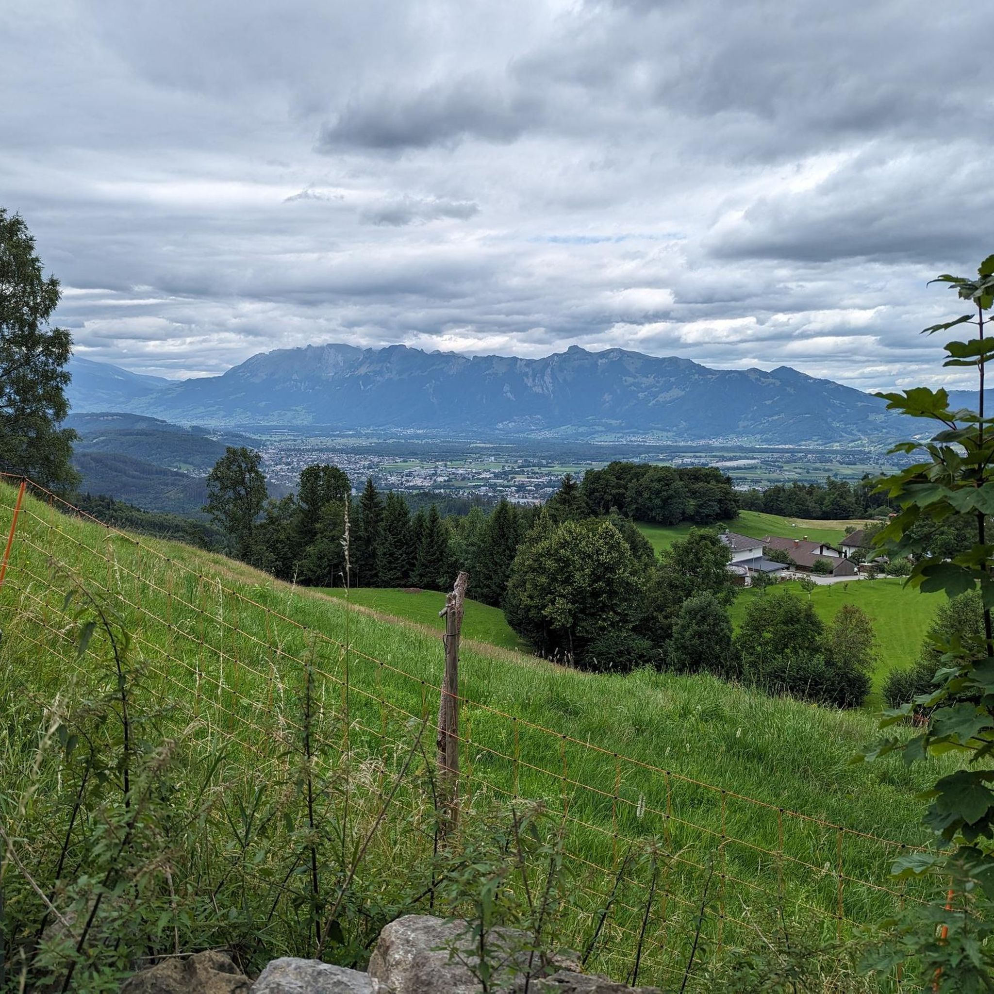
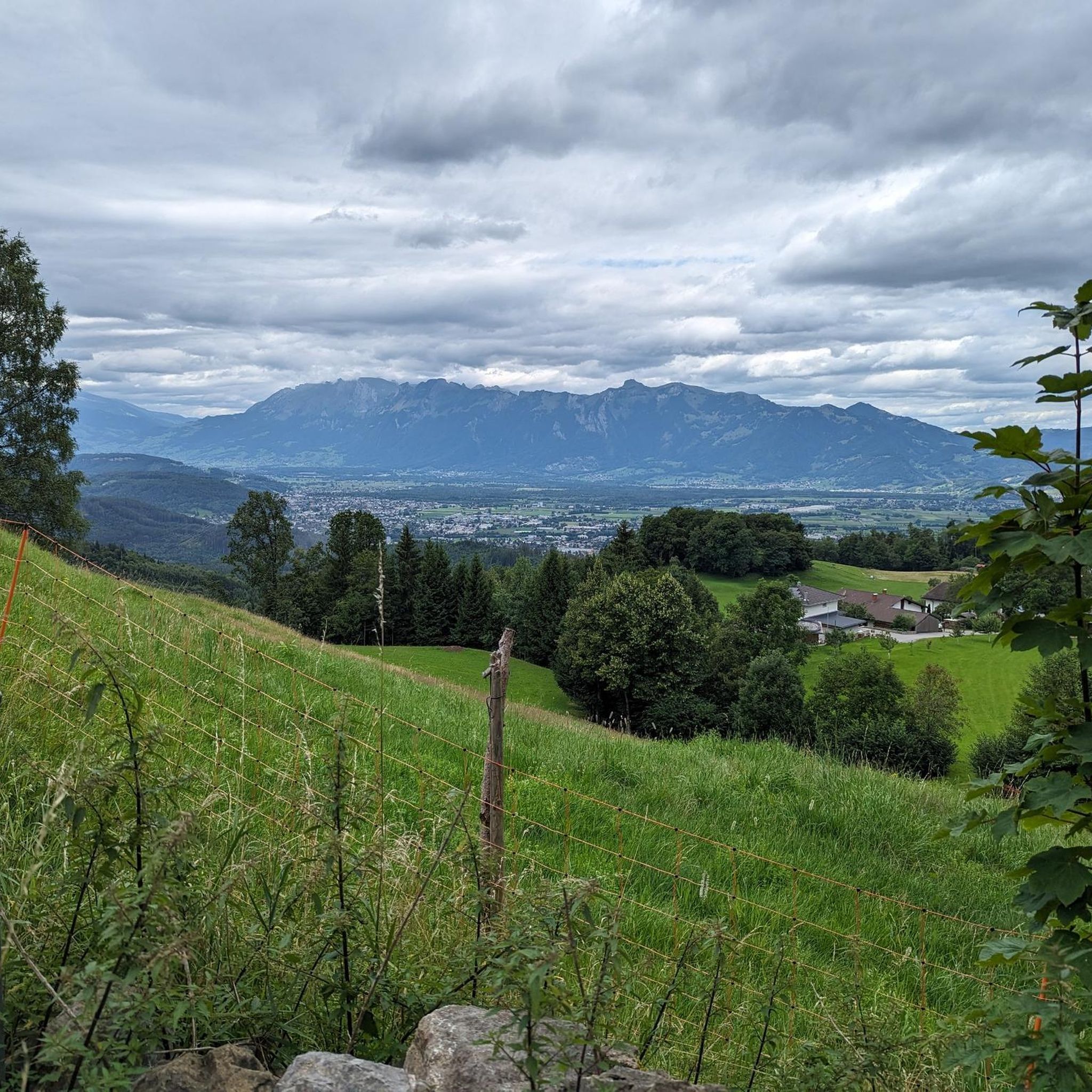
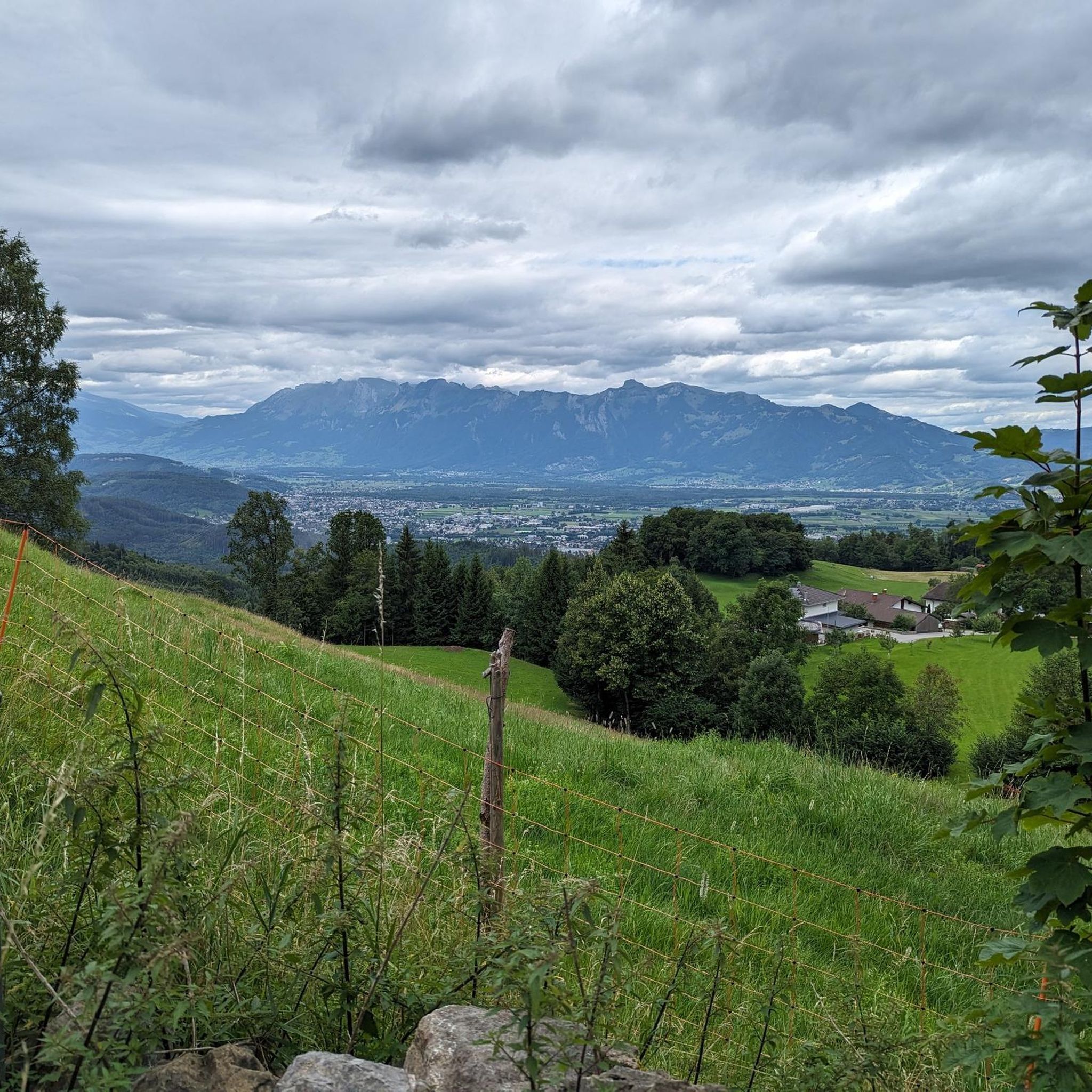
Among the most appreciated spots by the komoot community are Staufen (Bregenzerwald Mountains), a summit offering expansive views of Reinthal, Lake Constance, and the Alps. Another popular choice is Sünser Pass, located between Sünser Spitze and Portlahorn, which provides views of the "Seven Hills" and features a somewhat remote mountain lake. Visitors also enjoy Matonajöchle, a viewpoint perfect for pausing and enjoying the landscape.
Are there any challenging mountain passes for experienced hikers or cyclists?
Yes, the region offers several challenging routes. The paths to the Staufen (Bregenzerwald Mountains) summit can be very demanding. For cyclists, the Furkajoch Pass connects the Laternsertal with the Bregenzerwald at 1,761 meters, featuring sharp increases of up to 14%. The Ascent to Faschinajoch from Thüringen is another challenging climb, with tough sections requiring energy conservation.
What natural features can I see near these mountain passes?
You can expect breathtaking mountain panoramas, lush meadows, and rugged rock formations. The Sünser Pass features a beautiful, somewhat remote mountain lake. The wider Vorarlberg region, including the Hochtannberg Pass, offers views of the Lechtal and Allgäu Alps and the serene Kalbelesee lake. In the immediate vicinity of Zwischenwasser, the Morschkeer Waterfall is also a natural highlight.
Are there family-friendly mountain passes or viewpoints around Zwischenwasser?
While many passes offer challenging routes, some spots are more accessible. The Matonajöchle viewpoint is a great place to pause and enjoy the landscape, suitable for families. The Furkajoch Pass also has elements that can be enjoyed by families, though the full ascent can be challenging.
What is the best time to visit the mountain passes around Zwischenwasser?
The alpine environment is generally best enjoyed from late spring to early autumn. Some passes, like the Furkajoch Pass, have a winter closure, typically lifting around Pentecost. Always check local conditions before planning a visit, especially outside the main season.
What outdoor activities can I do near the mountain passes around Zwischenwasser?
The region offers diverse outdoor activities. You can find numerous cycling routes, including challenging climbs like the Laternsertal Valley – Mary of the Snows Chapel loop. There are also many hiking opportunities, from easy walks like the Morschkeer Waterfall loop to more demanding mountain hikes leading to summits like Hoher Freschen. For more details, explore the Cycling around Zwischenwasser, Easy hikes around Zwischenwasser, and Mountain Hikes around Zwischenwasser guides.
Are there specific hiking trails near these mountain passes?
Yes, the area is rich in hiking trails. You can find easy hikes such as the Morschkeer Waterfall loop from Zwischenwasser, or more challenging mountain hikes like the Freschen Hut – Hoher Freschen summit cross loop from Innerlaterns. For a comprehensive list of trails, refer to the Easy hikes around Zwischenwasser and Mountain Hikes around Zwischenwasser guides.
Can I find cycling routes that incorporate these mountain passes?
Absolutely. The region is popular with cyclists. Routes like the Laternsertal Valley – Mary of the Snows Chapel, Bonacker loop from Zwischenwasser offer challenging climbs. The Furkajoch Pass is particularly popular among motorcyclists and cyclists due to its demanding inclines. You can find more cycling options in the Cycling around Zwischenwasser guide.
What do visitors particularly enjoy about the mountain passes in this area?
Visitors frequently praise the wonderful views, especially from spots like Staufen (Bregenzerwald Mountains), which offers panoramas of Lake Constance and the Alps. The tranquility of places like the Kalbelesee lake near Hochtannberg Pass and the opportunity to enjoy the natural beauty are also highly valued. The challenging yet rewarding ascents, such as the Furkajoch Pass, are also a big draw for active visitors.
Are there places to eat or stay near the mountain passes?
Yes, some passes offer amenities. For instance, near the Furkajoch Pass, you can find a restaurant and a hut, providing a place to rest and refuel. The wider region around Zwischenwasser also offers various cafes, pubs, and accommodation options.
Are there any less crowded or 'hidden gem' mountain passes to explore?
The Sünser Pass is described as featuring a 'somewhat remote mountain lake,' suggesting a more tranquil experience away from the busiest routes. A short detour near the summit of Hochtannberg Pass leads to the Kalbelesee lake and the Alpmuseum uf'm Tannberg, offering dream views and a quiet photo spot with less traffic.
Most popular routes around Zwischenwasser
Most popular attractions around Zwischenwasser

Get inspired with the komoot mobile app


Explore more
See even more epic mountain passes by checking out these guides around Zwischenwasser:
