The best mountain hikes around Zwischenwasser
4.9
(185)
1,206
hikers
72
hikes
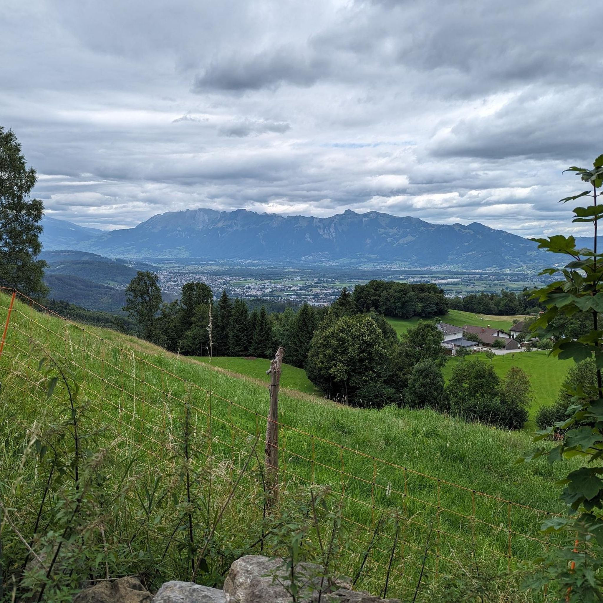
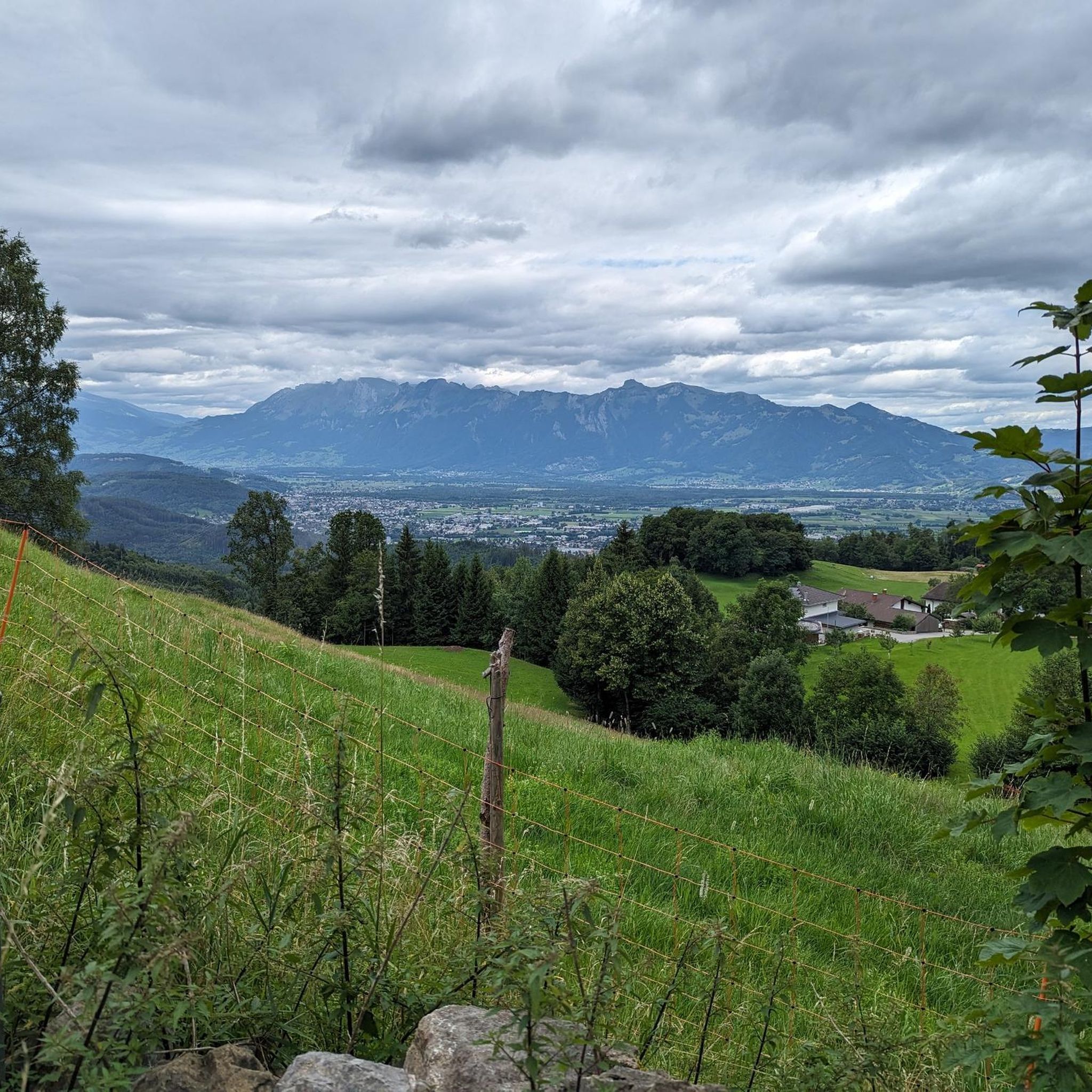
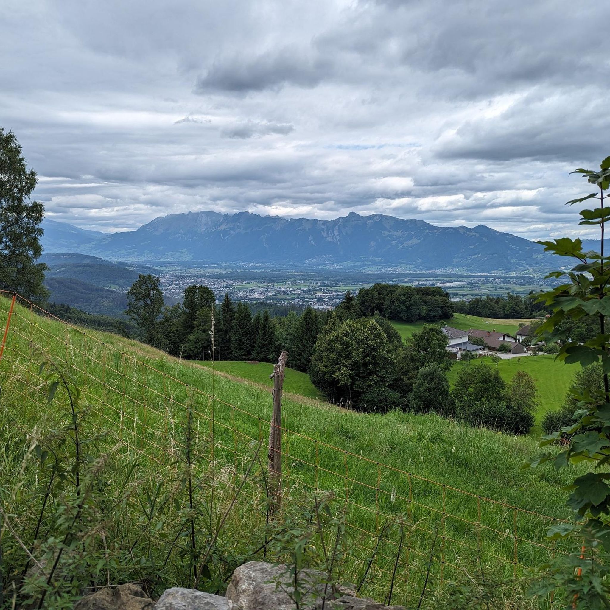
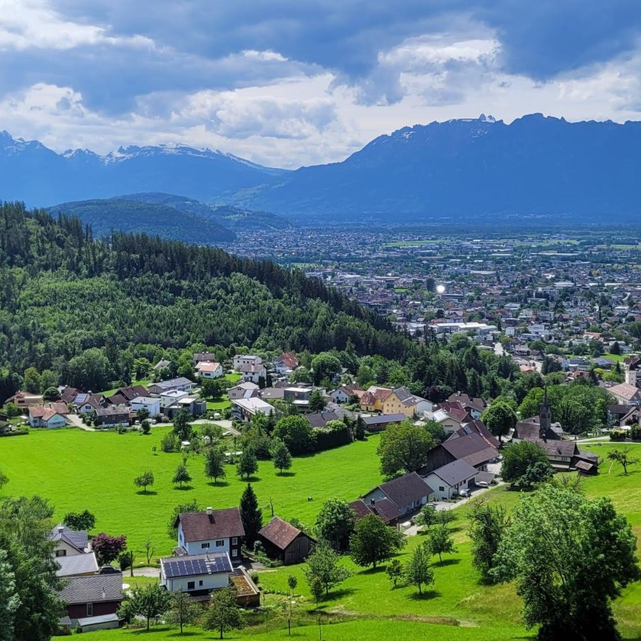
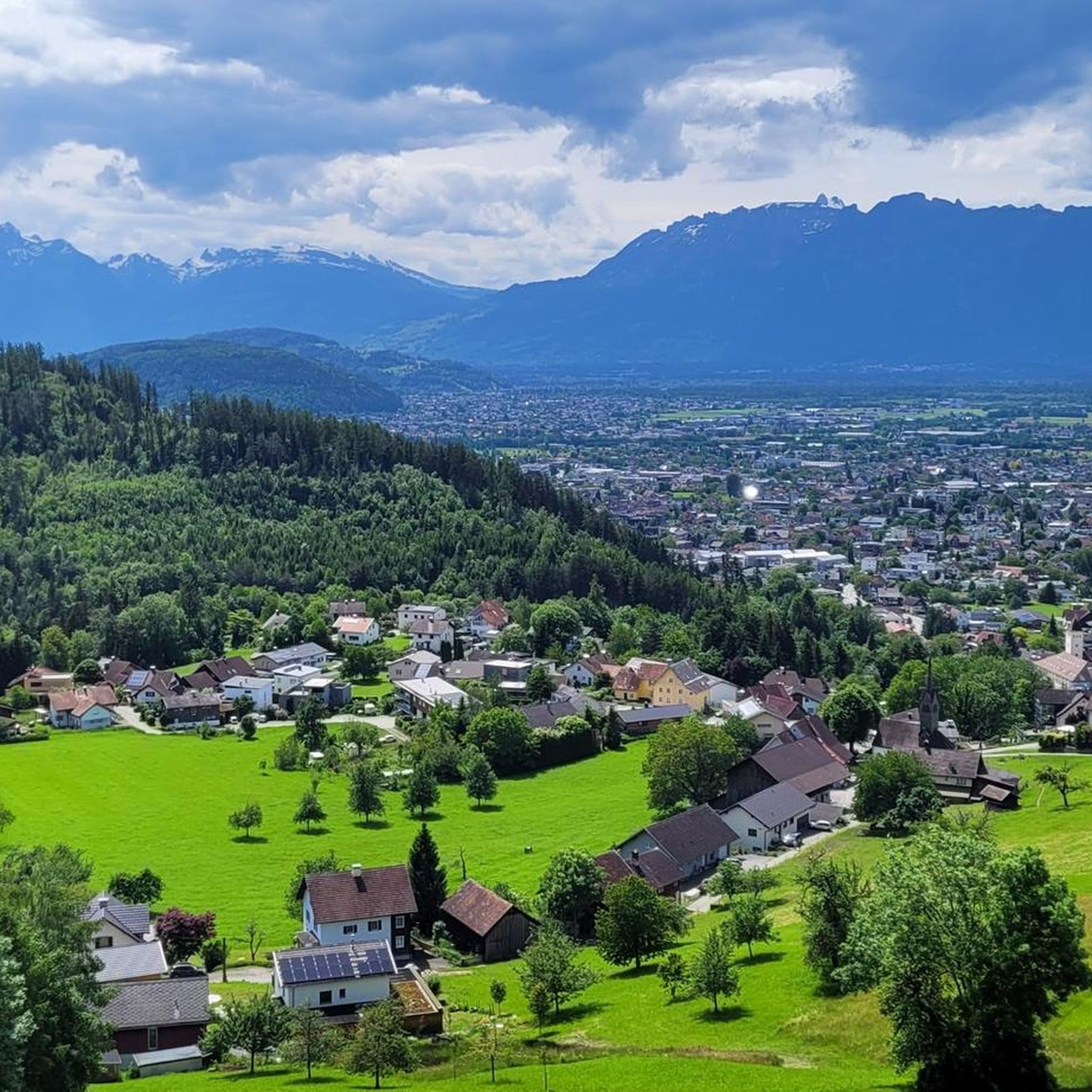
Mountaineering routes around Zwischenwasser feature a diverse landscape characterized by prominent alpine peaks and varied elevations. The region offers a mix of forested slopes, open mountain terrain, and high-altitude trails. These routes often lead to panoramic viewpoints and challenging summits, providing a robust experience for mountaineers.
Best mountaineering routes around Zwischenwasser
- The most popular mountaineering route is Gehrenfalben loop from Bad Laterns, a 7.0 miles (11.2 km) trail that takes about 4 hours 30 minutes to complete, featuring varied…
Last updated: August 3, 2026
5.0
(2)
40
hikers
13.1km
05:11
930m
930m
Hard mountaineering route. Very good fitness required. Mostly accessible paths. Sure-footedness required.
37
hikers
11.4km
04:32
750m
750m
Moderate mountaineering route. Good fitness required. Mostly accessible paths. Sure-footedness required.

Sign up for free
5.0
(1)
34
hikers
19.5km
07:20
1,050m
1,050m
Hard mountaineering route. Very good fitness required. Mostly accessible paths. Sure-footedness required.
4.7
(3)
32
hikers
15.0km
06:09
840m
840m
Hard mountaineering route. Very good fitness required. Mostly accessible paths. Sure-footedness required.
5.0
(3)
35
hikers
10.4km
04:19
800m
800m
Moderate mountaineering route. Good fitness required. Mostly accessible paths. Sure-footedness required.
Get access to more routes and recommendations from other explorers.
Sign up for free
Already have an account?
Our route recommendations are based on thousands of hikes, rides, and runs completed by other people on komoot.
Start today with a free account
Your next adventure awaits.
Login or Signup

Tips from the Community

Very clean hut. The food is good and the landlady is friendly.
0
0

Hosted by the Laterns Ski Club in winter! Plus, you'll get Renate's best "Schnupf" (a type of snuff) and her legendary sayings.
0
0

beautiful Alp for hikers, skiers and bikers
0
0


On the ridge you can enjoy the peace and quiet and also have a wonderful view. I find the route from Viktorsberg very beautiful because you have nature almost to yourself. In summer you come across lots of cows at the summit. Can be done at any time of year.
2
0

Fantastic 360° view from the Hohe Kugel of the mountains as well as the Rhine Valley and Lake Constance.
4
1

Alpine hut like many others. Good hospitality, beautiful area
2
0
Frequently Asked Questions
What is the general difficulty level of mountaineering routes around Zwischenwasser?
The mountaineering routes in Zwischenwasser cater to a range of abilities, though the majority are geared towards experienced hikers. Out of 76 available routes, 24 are rated as moderate, while 52 are considered difficult. This means you'll find plenty of challenging ascents and high-alpine terrain.
Are there any beginner-friendly mountaineering routes suitable for families in Zwischenwasser?
While many routes in Zwischenwasser are moderate to difficult, some shorter, less exposed sections might be suitable for families with older children or beginners. For a moderate option that offers varied terrain and panoramic views, consider the Gehrenfalben loop from Bad Laterns. Always check the route details and current conditions to ensure it matches your group's experience level.
What kind of terrain can I expect on mountaineering routes in Zwischenwasser?
Mountaineering around Zwischenwasser is characterized by diverse alpine landscapes. You'll encounter prominent alpine peaks, forested slopes, and high-altitude trails. Routes often lead through alpine meadows, challenging ascents, and offer rewarding summit vistas.
Are there any circular mountaineering routes in Zwischenwasser?
Yes, Zwischenwasser offers several excellent circular mountaineering routes. For instance, the challenging Freschen Hut – Hoher Freschen summit cross loop from Innerlaterns is a popular option that traverses high alpine terrain. Another great loop is the Hoher Freschen Summit loop from Bad Laterns, which takes you through alpine meadows and demanding ascents.
What are some notable landmarks or viewpoints I can discover along the mountaineering routes?
Many mountaineering routes in Zwischenwasser lead to spectacular viewpoints and summits. You can reach the Hohe Kugel summit (1,645 m), or experience the impressive Hoher Freschen summit cross. For panoramic views, the Karren Viewing Platform is also a popular destination in the wider region.
What do other mountaineers enjoy most about the routes in Zwischenwasser?
The mountaineering routes in Zwischenwasser are highly rated by the komoot community, with an average score of 4.9 stars from over 170 reviews. Mountaineers frequently praise the varied terrain, panoramic views, and the robust experience offered by the challenging summits and high-altitude trails.
Are there any long-distance mountaineering trails for experienced hikers?
For experienced mountaineers seeking longer challenges, Zwischenwasser has several demanding routes. The Freschen Hut – Hoher Freschen summit cross loop from Innerlaterns covers 12.1 miles (19.5 km) and involves over 1000 meters of ascent. Another substantial option is the Hoher Freschen Summit – View of Hoher Freschen loop from Bad Laterns, which is 10.9 miles (17.5 km) long with significant elevation gain.
When is the best time of year for mountaineering in Zwischenwasser?
The best time for mountaineering in Zwischenwasser is typically during the warmer months, from late spring to early autumn (roughly June to September), when trails are generally free of snow and weather conditions are more stable. Always check local weather forecasts and trail conditions before heading out, especially for higher-altitude routes.
Are there any gorges or natural rock formations to explore near the mountaineering routes?
Yes, the region around Zwischenwasser features impressive natural formations. You can explore the dramatic Rappenloch Gorge or the serene Alploch Gorge. The unique Kirchle Rock Cathedral is also a fascinating natural highlight worth visiting.
How many mountaineering routes are available in the Zwischenwasser area?
There are over 75 mountaineering routes available around Zwischenwasser, offering a wide variety of options for different skill levels and preferences.
Are there any specific routes that lead to a summit cross?
Yes, for those aiming for a summit cross, the Freschen Hut – Hoher Freschen summit cross loop from Innerlaterns is a dedicated route that takes you to the prominent Hoher Freschen summit cross.
Most popular routes around Zwischenwasser
Most popular attractions around Zwischenwasser

Get inspired with the komoot mobile app


Explore more
Browse the best Mountain Hikes & Routes in other regions.
