Top 4 Mountain Passes around Siegsdorf
Best mountain passes around Siegsdorf are situated in the southeastern part of Germany, surrounded by the Chiemgau Alps. This region offers a landscape characterized by prominent peaks and scenic routes. The area provides opportunities for outdoor activities such as hiking and mountain biking. Elevated points and passes offer panoramic views over the Alpine foothills and Bavarian lakes.
Best mountain passes around Siegsdorf
- The most popular mountain passes is View of Falkenstein, a viewpoint that offers panoramic views from its…
Last updated: September 26, 2026
Sonntagshorn Summit
Highlight • Summit
Showing Translation
Tip by

Steep Ascent to Riedl Pass
Highlight (Segment) • Mountain Pass
Translated by Google •
Tip by

Sign up now to discover places like this
Get recommendations on the best single tracks, peaks, & plenty of other exciting outdoor places.
View of Falkenstein
Highlight • Viewpoint
Translated by Google •
Tip by

Bichl Pass (740 m)
Highlight (Segment) • Mountain Pass
Translated by Google •
Tip by

Inzeller Höhe
Highlight (Segment) • Mountain Pass
Translated by Google •
Tip by

Start today with a free account
Your next adventure awaits.
Popular around Siegsdorf
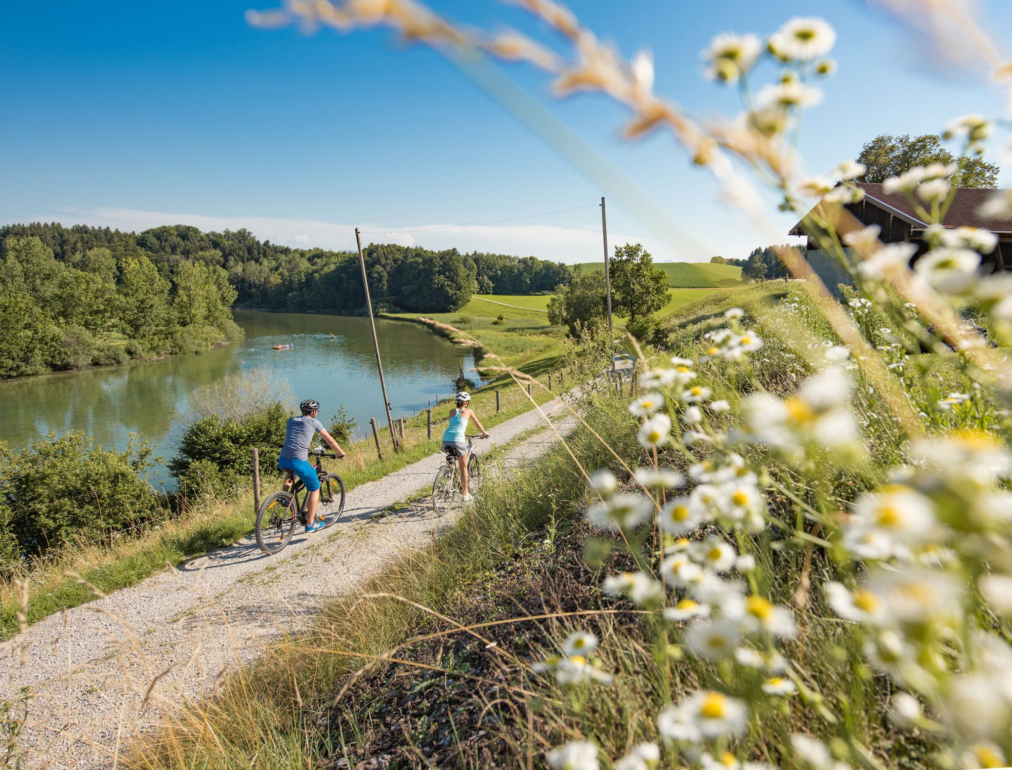
Cycling in the foothills of the Alps – gentle rides through Chiemgau
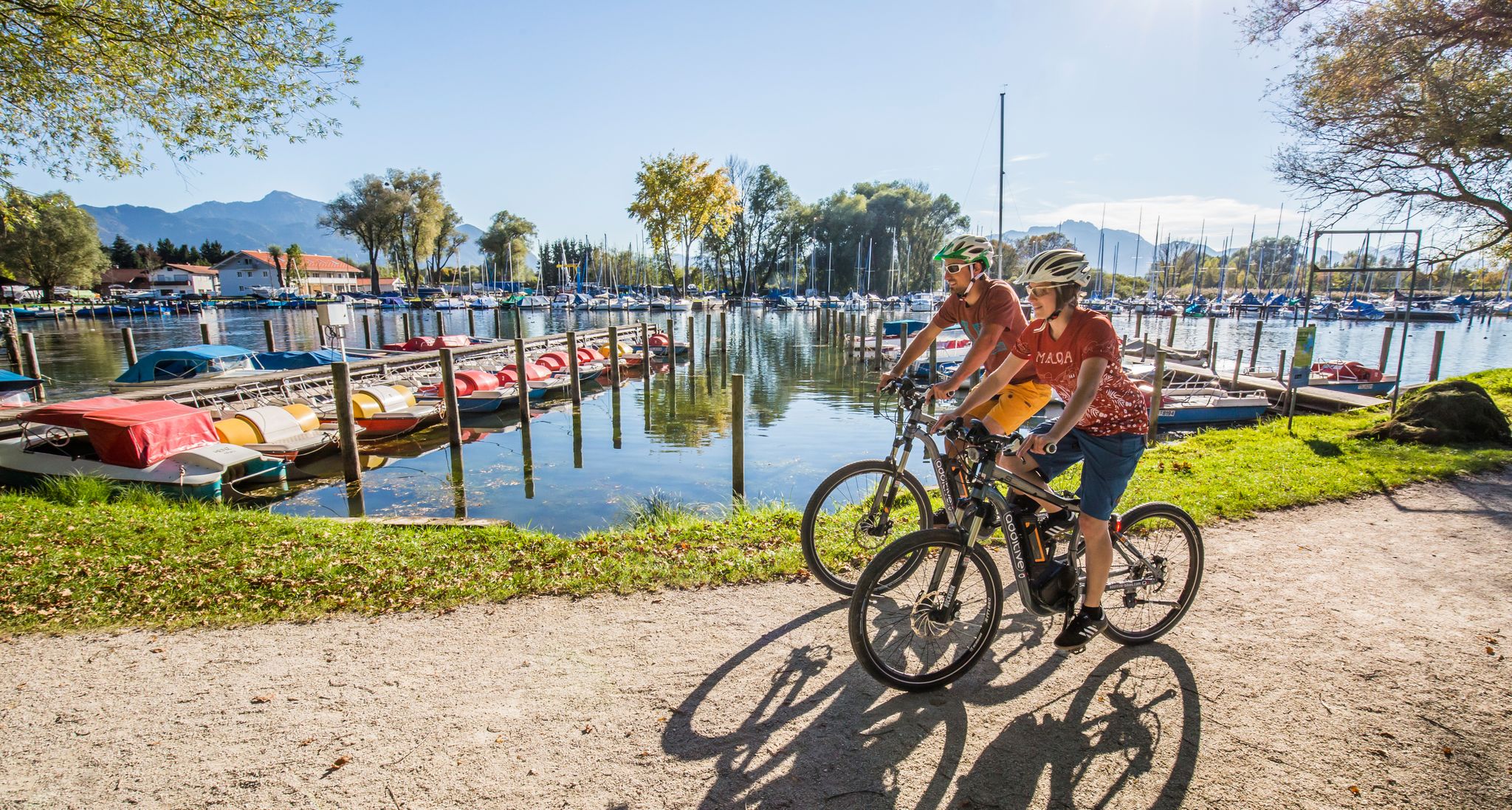
Your active cycling vacation in Chiemgau
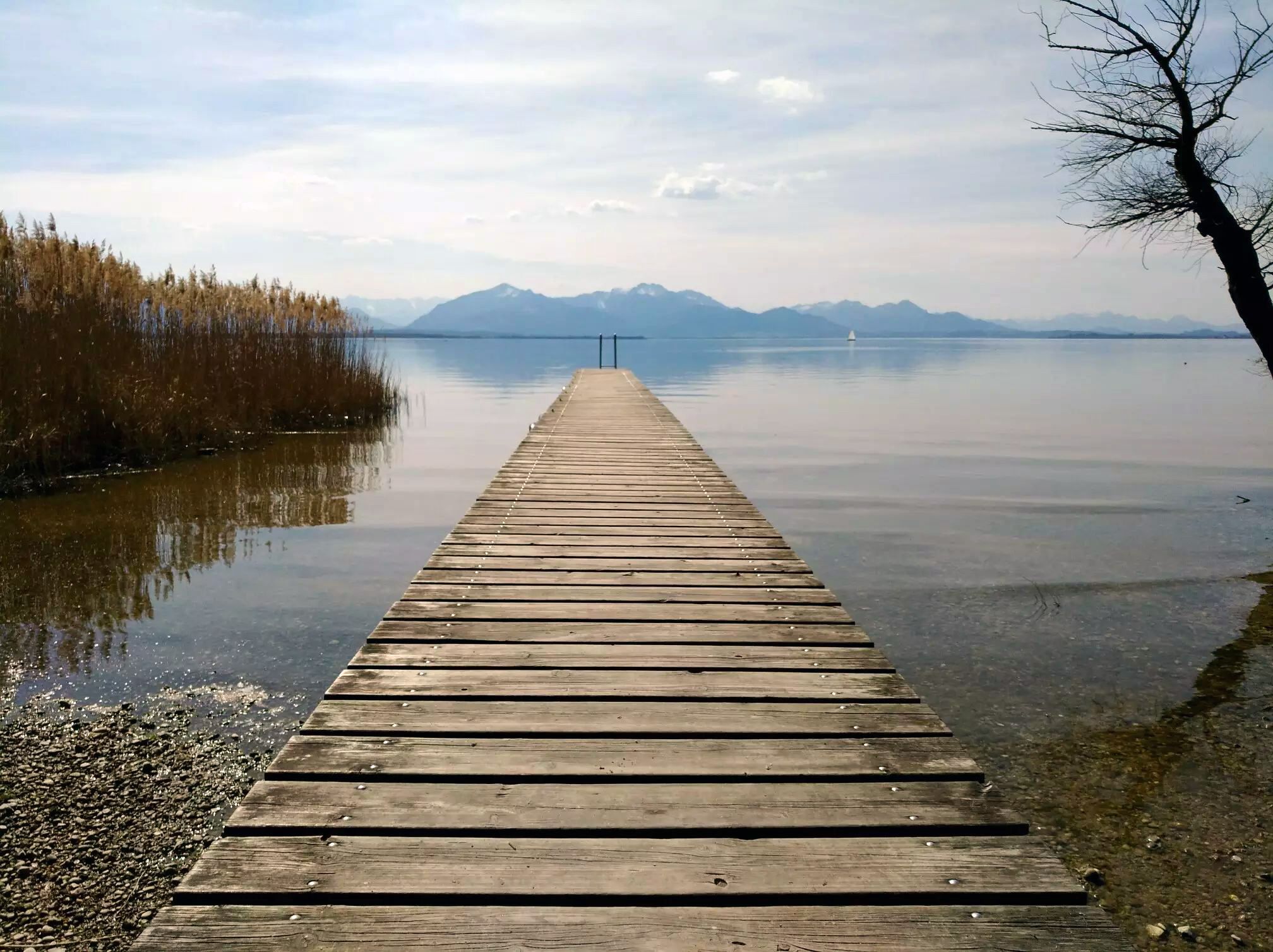
Adventurous rides in the cycling region Chiemsee-Chiemgau
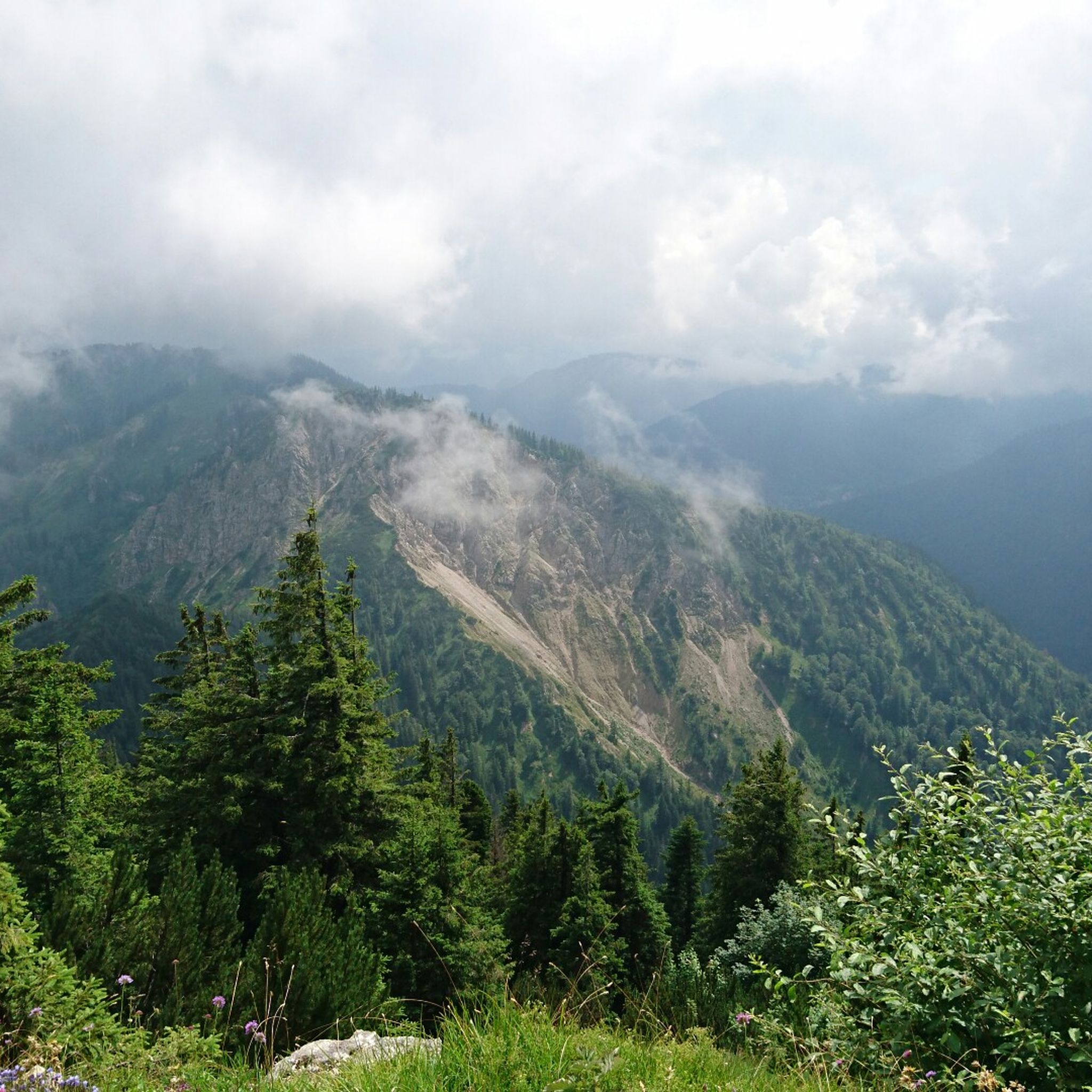
Hiking around Siegsdorf
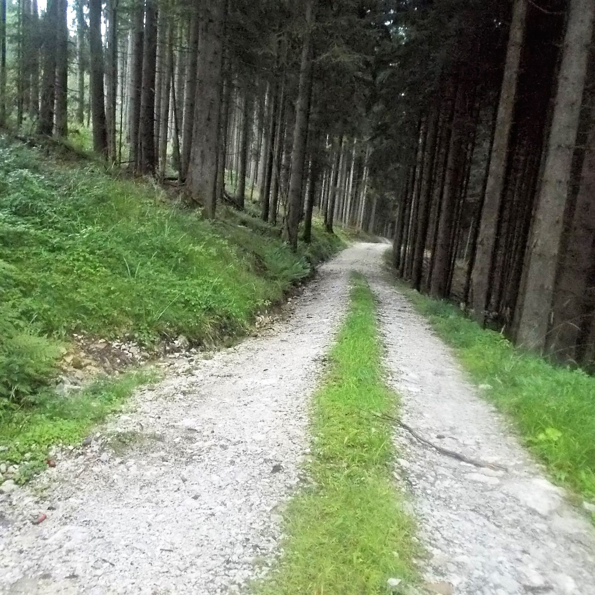
MTB Trails around Siegsdorf
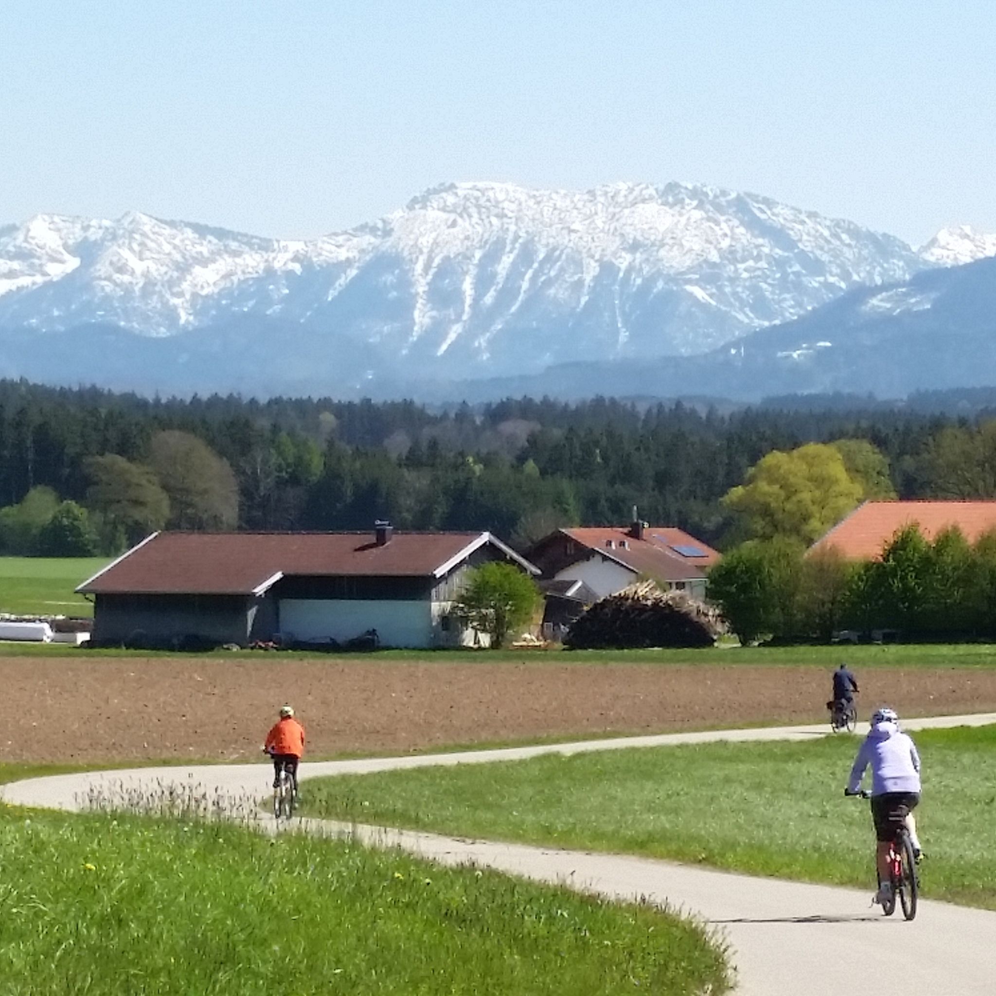
Cycling around Siegsdorf
Road Cycling Routes around Siegsdorf
Running Trails around Siegsdorf

Gravel biking around Siegsdorf

Mountain Hikes around Siegsdorf
Other adventures around Siegsdorf

Tips from the Community

Since when does the Sonntagshorn belong to the Mangfallgebirge? You've probably had one beer too many
1
0

A beautiful viewpoint peak, the highest in the Chiemgau Alps, and can be reached with relatively little elevation gain thanks to the high hiking car park. A good start for ski tourers and snowshoe hikers.
4
0

The ascent over the stony path is definitely worth it
0
0

Beautiful summit with a challenging view from the German side. In the distance you can see the foothills of Lake Chiemsee
1
0

Super nice view summit. The Sonntagshorn is the highest mountain in the Mangfall Mountains and accordingly you have a great panoramic view of the entire Mangfall Mountains from Dürrnbachhorn to Hörndlwand, Kampenwand, Hochgern, Hochfelln, Chiemsee, Rauschberg, Zwiesel, Hochstaufen and countless more. To the south-east and south you can see the Leoganger and Loferer Steinberge, as well as the Berchtesgaden Alps with Reiteralpe, Hochkalter, Watzmann and Hochgöll. Salzburg is also within reach in the valley and in the distance the Great Wiesbachhorn and the Grossglockner are also visible on clear days. Really great
2
2

Highest peak in the Chiemgau. The easiest ascent is via the hiking trail from Heutal, the two ascents from Bavaria via the Kraxenbach valleys (climbing passages and debris tears) are more difficult.
1
0

The Falkenstein forms a small, isolated mountain range stretching north-northeast. It stretches over 1.9 kilometers but is only 1 kilometer wide. To the north is the 785 meter high Söldenberg. The Falkenstein range has two peaks - a 1092 meter high pre-summit with a summit cross in the north (north peak) and the actual 1181 meter high main peak at the southern end of the range. Orographically, the southwest side of the Falkenstein range is separated from the Kienbergl (1135 m) in the west by a rather narrow valley. A small stream flows through this valley, ending in the Zwingsee at the western foot of the mountain, and it is also crossed by the German Alpine Road (B 305). The east side of the Falkenstein forms the wide valley, which separates it from Scharnkopf (1356 m) and Gruberhörndl (1493 m). The Falkenseebach flows through the Weittal into the Falkensee and then further north in the direction of Inzell. The Falkenseebach rises in several springs at the southern end of the wide valley west below the Great Tower (1120 m). Just under 900 meters southwest of the main summit, the so-called Weißbach waterhole also flows out of the so-called water hole at the end of the Weittal, which, however, continues south past Scharmann in the direction of the Weißbach glacier garden. The watershed between the catchment area of the Rote Traun and the Saalach runs between these two source areas. At the northeast end of the Falkenstein below the Söldenberg is the Krottensee, whose small outflow flows into the Falkenseebach on the left. (Wikipedia)
0
0
Beautiful peak... The climb on the German side is not for everyone... On one side you have to climb 30-40 meters, on the other a long boulder field leads down over 200 meters of altitude
4
3
Frequently Asked Questions
What are some challenging mountain passes for experienced cyclists or hikers around Siegsdorf?
For those seeking a challenge, the Steep Ascent to Riedl Pass offers a demanding climb. The eastern driveway near Neukirchen am Teisenberg features a twelve percent ramp right at the start, with sections reaching 13 to 14 percent gradient, especially when leaving the forest. It's a rewarding climb for strong legs.
What kind of panoramic views can I expect from the mountain passes in the Siegsdorf region?
The region around Siegsdorf is known for its impressive panoramic views. From elevated points like the View of Falkenstein, you can enjoy expansive vistas over the entire foothills of the Alps and extending to the Bavarian lakes. The Falkenstein itself offers views from its two peaks, with the main peak reaching 1181 meters.
Are there mountain passes around Siegsdorf that are suitable for mountain biking?
Yes, there are mountain biking opportunities. For instance, from Inzeller Höhe, you can find mountain bike routes towards Fürmannalm. The wider region also features numerous trails around areas like Teisenberg and Zinnkopf, which are ideal for mountain bikers. You can explore more options in the MTB Trails around Siegsdorf guide.
What are the characteristics of the terrain and elevation around Siegsdorf's mountain passes?
The terrain around Siegsdorf's mountain passes varies, offering a mix of challenging ascents and scenic routes. You'll encounter intermediate passes like Bichl Pass (740 m) with scenic roads, and forest trails at locations such as Inzeller Höhe. The region is characterized by prominent peaks and routes that provide dramatic ascents and panoramic vistas, typical of the Chiemgau Alps.
What outdoor activities can I do near these mountain passes besides cycling?
Beyond cycling, the Siegsdorf area offers extensive opportunities for hiking and running. The Hochfelln Mountains, Teisenberg, and Zinnkopf provide diverse hiking trails for various fitness levels. You can find numerous options in the Running Trails around Siegsdorf guide and the Cycling around Siegsdorf guide.
Are there any notable landmarks or cultural sites near the mountain passes?
While not a mountain pass itself, the Maria Eck Pilgrimage Church is a significant elevated point above Siegsdorf that offers expansive views and is reachable via picturesque routes. It combines cultural and historical interest with beautiful natural scenery, making it a popular destination for a peaceful visit or a scenic hike.
What is the best time of year to visit the mountain passes around Siegsdorf?
The region is appealing year-round. In spring, summer, and autumn, the passes and surrounding areas are ideal for hiking, cycling, and mountain biking, with lush landscapes and clear views. In winter, areas like the Hochfelln are known for alpine sports and touring in its natural snow paradise, offering a different kind of experience.
What kind of natural features can I expect to see around the mountain passes?
You can expect to see striking peaks, extensive forests, and alpine pastures. The region is part of the Chiemgau Alps, offering breathtaking views of the Alpine range. Features include summit crosses, narrow valleys with streams, and lakes like the Zwingsee and Falkensee, all contributing to the natural beauty.
Are there any places to stop for refreshments or accommodation near the mountain passes?
Yes, traditional alpine pastures like Stoißer Alm often provide opportunities for refreshments and serve as rewarding stops during longer hikes. Additionally, the Maria Eck Pilgrimage Church has a monastery inn. The wider Siegsdorf region offers various cafes, pubs, and accommodation options to cater to visitors.
What makes the mountain passes around Siegsdorf appreciated by the komoot community?
The komoot community appreciates the mountain passes around Siegsdorf for their variety, offering challenging climbs, scenic viewpoints, and intermediate trails. The diverse landscape allows for exploration on foot or by bike, catering to different activity levels, and the stunning views are frequently highlighted by visitors.
Can I find routes that combine multiple summits or scenic points?
Yes, the region offers multi-day routes, such as those 'over the Chiemgauer,' which include stages crossing Teisenberg and Zinnkopf. These routes provide varied terrain through forests and over alpine pastures, allowing you to experience multiple scenic points and summits in one journey.
Most popular routes around Siegsdorf
Most popular attractions around Siegsdorf

Get inspired with the komoot mobile app


Explore more
See even more epic mountain passes by checking out these guides around Siegsdorf:
