Top 20 Natural Monuments around Bad Bertrich
Best natural monuments around Bad Bertrich are found within the Volcanic Eifel region, known for its unique geological features and picturesque landscapes. The area is characterized by its volcanic origins, including distinctive "Maare" (volcanic lakes) and intriguing rock formations. Visitors can explore a variety of natural landmarks that showcase the region's rich geological history. These sites offer insights into the natural processes that shaped this part of Germany.
Best natural monuments around Bad Bertrich
- The most popular natural monuments is Calmont via ferrata, a climb that features rope-assisted sections and offers panoramic views of the Moselle. It requires good physical condition and a head for heights.
- Another must-see spot is Panoramic view of the Moselle bend below the Calmont summit, a viewpoint offering one of the best valley views of the Moselle loop. This vantage point illustrates the interplay of nature, culture, and landscape in the Moselle valley.
- Visitors also love View of the Moselle Bend at Bremm, a viewpoint showcasing the famous Moselle loop near Bremm. It provides direct views of the Stuben monastery ruins and Petersberg.
- Bad Bertrich is known for its geological features, viewpoints, and river landscapes. These include unique rock formations, volcanic lakes, and dramatic river bends, offering diverse natural experiences.
- The natural monuments around Bad Bertrich are appreciated by the komoot community, with more than 3900 upvotes and over 6800 photos shared.
Last updated: July 20, 2026
Calmont via ferrata
Highlight (Segment) • Climb
Translated by Google •
Tip by

Panoramic view of the Moselle bend below the Calmont summit
Highlight • Viewpoint
Translated by Google •
Tip by

Sign up now to discover places like this
Get recommendations on the best single tracks, peaks, & plenty of other exciting outdoor places.
Sign up for free
Calmont Ridge Trail
Highlight • Trail
Translated by Google •
Tip by

Rope-Assisted Section on the Calmont Via Ferrata
Highlight • Climb
Translated by Google •
Tip by

Calmont via ferrata
Highlight • Climb
Translated by Google •
Tip by

Sign up for free to discover even more natural monuments around Bad Bertrich.
Sign up for free
Already have an account?
Start today with a free account
Your next adventure awaits.
Login or Signup
Popular around Bad Bertrich
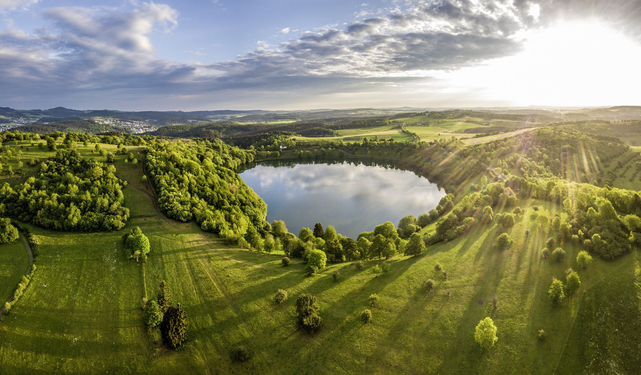
Germany’s Most Beautiful Hiking Trails in the Vulkaneifel

Excellent paths in the Vulkaneifel – Explore the HeimatSpuren
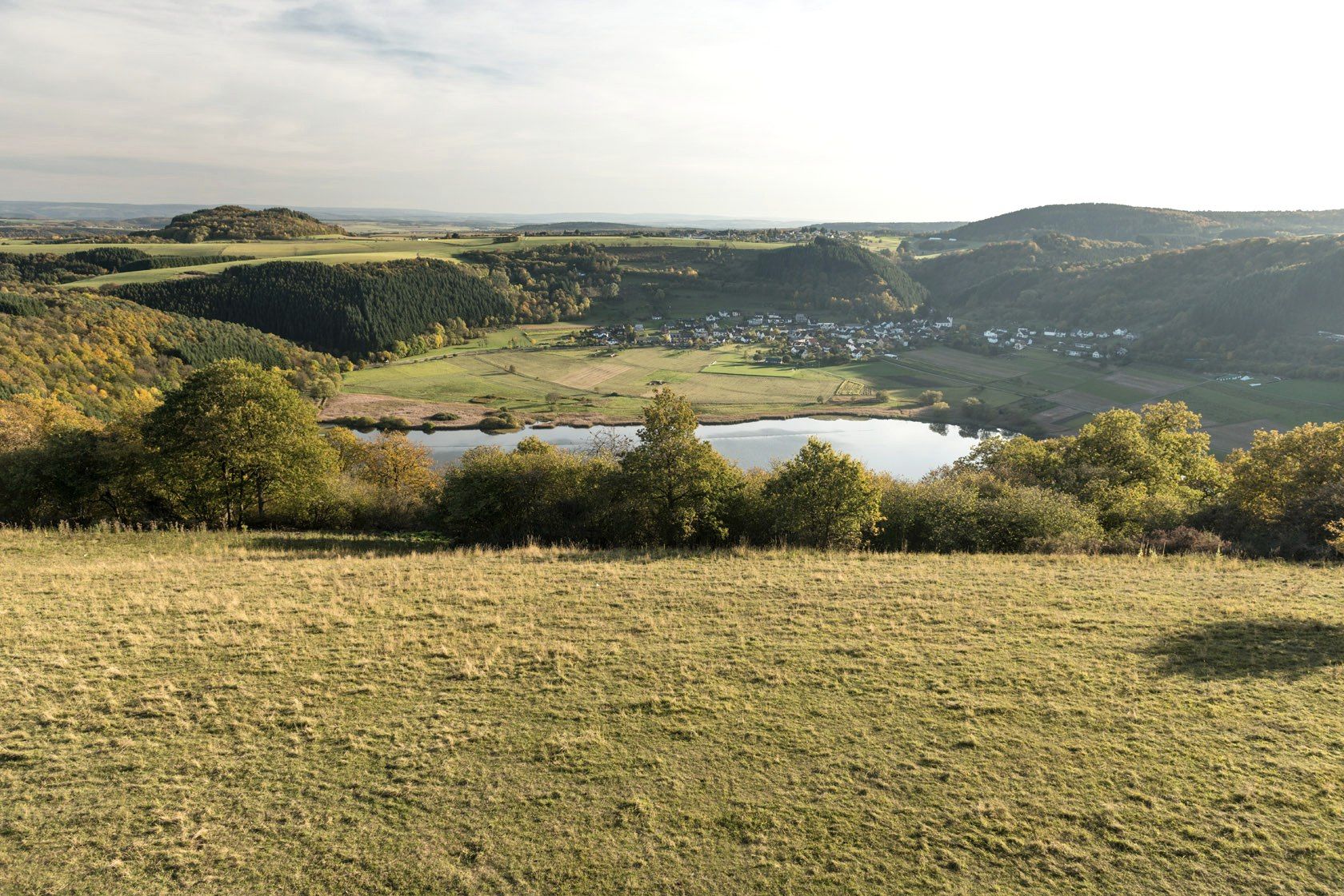
Crater lakes and lava rock – hiking in Germany’s Volcanic Eifel
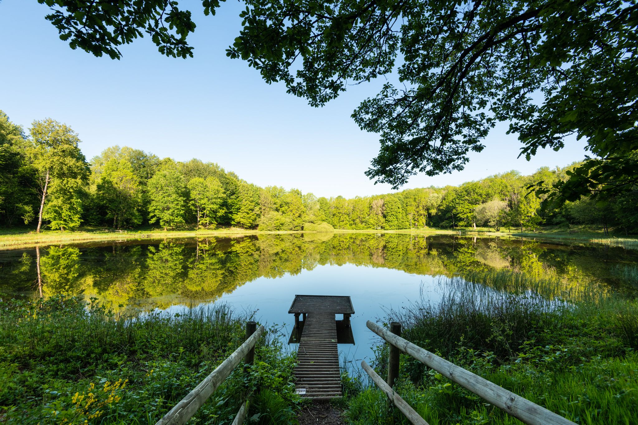
Award-winning hikes – explore the Volcanic Eifel on acclaimed trails
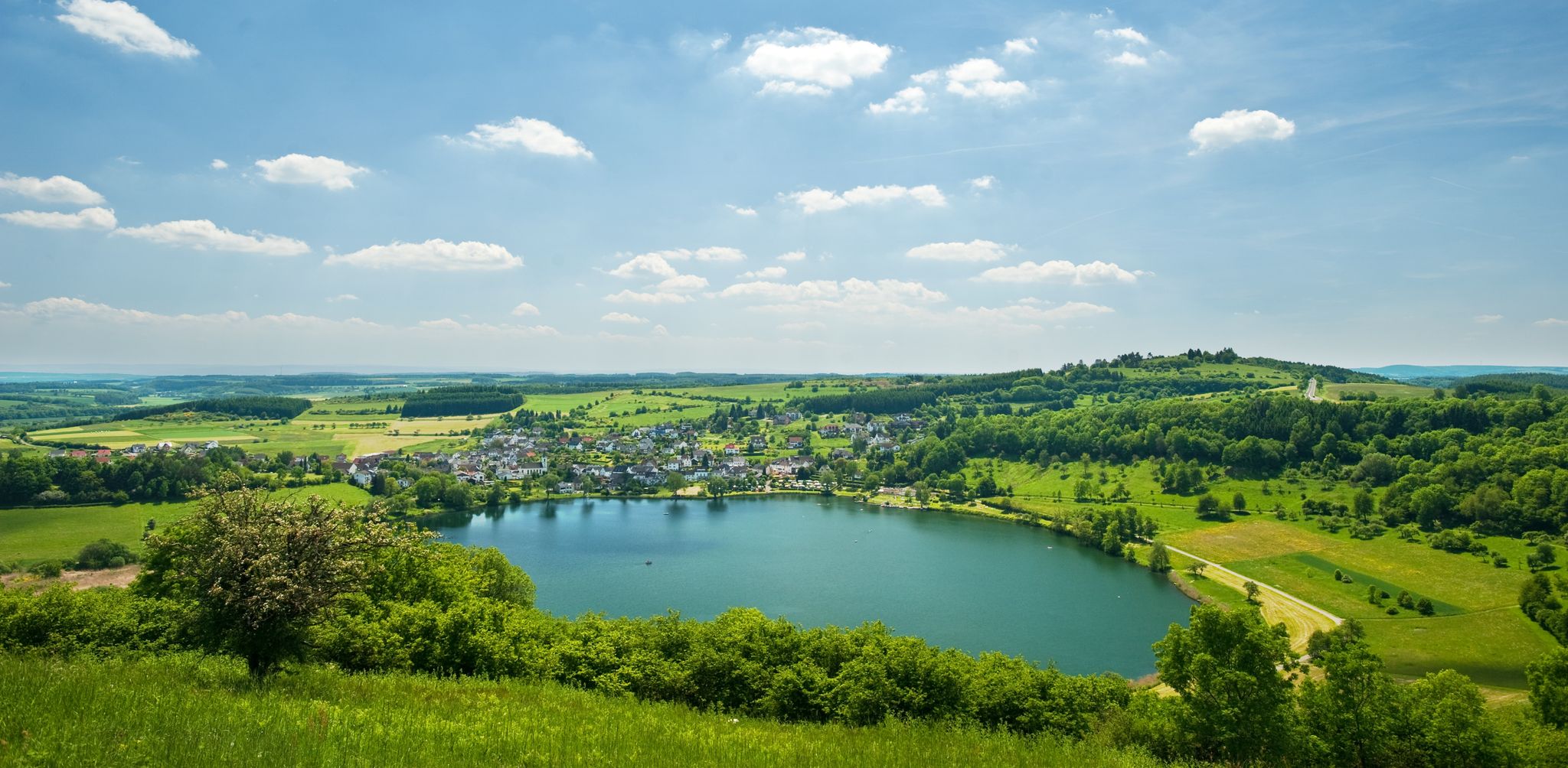
Lava pits & fairytale lakes – hiking through Vulkaneifel in Germany
Hiking around Bad Bertrich
MTB Trails around Bad Bertrich
Cycling around Bad Bertrich
Road Cycling Routes around Bad Bertrich
Running Trails around Bad Bertrich
Other adventures around Bad Bertrich


Tips from the Community

🥾🥾⛰️The Calmont is a steep vineyard with a 65 degree incline↗️ & a height of 378 meters↕️. The Calmont via ferrata🥾🥾🪜 leads through the vineyard, impassable rocky sections are overcome with climbing aids. The hike on the Calmont high trail with the Calmont summit cross and “Vierseenblick” offers fantastic views🎨🖌. Difficult passages are equipped with rock steps, rope safety devices, steel ladders, iron brackets and footholds. 🧭The Calmont region is located on the Terraced Moselle, just under 20 kilometers from Cochem. Thanks to the German Alpine Association and many volunteers from the surrounding communities of Bremm, Ediger-Eller and Neef. Because they all made sure that the mountain was accessible in the first place🥾🥾🎒.
8
0

The route is great, a clear recommendation if you think you can do it.
3
0

The Calmont is an almost 400 meter high steep vineyard with a 65 degree slope. The Calmont via ferrata leads up and down through the vineyard over narrow, partly rooty and numerous rocky passages. Difficult passages are equipped with rock steps, rope safety devices, 6 steel ladders, 22 iron brackets and 16 stepping pins.
9
3

From this vantage point you have one of the best valley views of the Moselle loop.
75
0
The Calmont via ferrata is more of a mountain trail than a via ferrata. Passages of the "via ferrata" are made safer with handrails, ladders, step bars and stepping pins. However, hikers who are not sure-footed also have the option of bypassing the short section of the "via ferrata".
70
10

It is particularly beautiful in October when the leaves change color. Shortly after 10 a.m. we walked from Eidiger-Eller, first over the Todesangst and the Höhenweg, so we were above the Moselle loop at the right time. There is a rest area with a bench, from where we could watch how the fog revealed the colorful landscape.
12
0

Beautiful hiking tour with a view of the Moselle loop. 😍
12
0

You can also enjoy the view without hiking up. Drive up with the car. Drive quite far, then comes a gravel road, this approx. 2km comes a parking lot for hikers. From there it is not far to the summit cross and Vierseenblick. Together about 2km. Above are great wide hiking trails. Well suited for beginners. Then down to Bremm where the second vantage point is easily accessible on foot. So everyone has something.
13
0
Frequently Asked Questions
What unique geological features can I explore around Bad Bertrich?
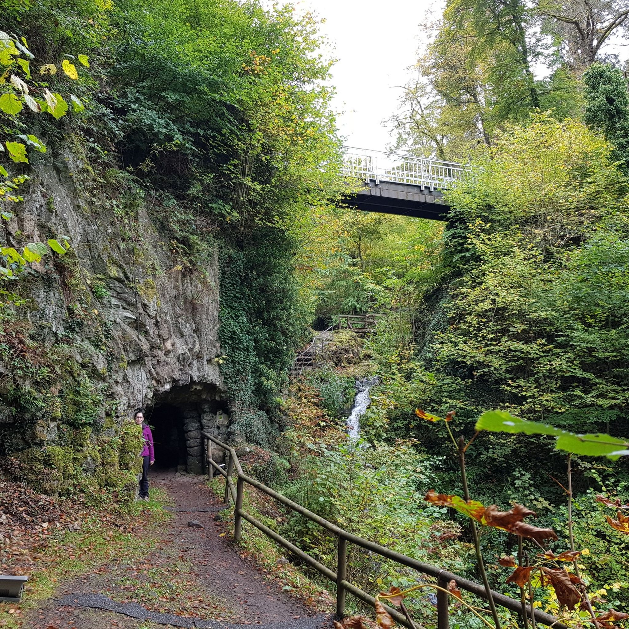
The region around Bad Bertrich, part of the Volcanic Eifel, is rich in distinctive geological formations. You can discover volcanic lakes known as "Maare" and intriguing rock structures. A notable example is the Elf Grotto, also called the Cheese Grotto, which features unusual rock formations resembling stacked cheese rounds. The area also boasts dramatic river bends and unique rock formations that showcase its rich geological history.
Are there any challenging natural monuments for experienced hikers?
Yes, the Calmont via ferrata is a challenging natural monument that features rope-assisted sections. It requires good physical condition and a head for heights, offering panoramic views of the Moselle. Hikers describe it as more of a mountain trail with sections made safer by handrails and ladders, but sure-footedness is essential.
Where can I find the best panoramic views of the Moselle near Bad Bertrich?
For breathtaking views, visit the Panoramic view of the Moselle bend below the Calmont summit. This vantage point offers one of the best valley views of the Moselle loop, illustrating the interplay of nature, culture, and landscape. Another excellent spot is the View of the Moselle Bend at Bremm, which provides direct views of the Stuben monastery ruins and Petersberg.
Are there family-friendly natural monuments or viewpoints in the area?
Yes, the Prinzenkopf Tower is considered family-friendly. It offers wonderful views of the Moselle and Bullay, and from its special location, you can see the sweeping Moselle loop around Pünderich. Lookout towers like this are often enjoyed by families for their wide insights into mountains and valleys.
What kind of outdoor activities can I do near the natural monuments around Bad Bertrich?
The area around Bad Bertrich is excellent for various outdoor activities. You can find numerous routes for mountain biking, road cycling, and touring cycling. For example, there are challenging MTB trails like the "Trail Eldorado - the single trail tour" and scenic road cycling routes such as the "Strohner Lava Bomb – Schutzalf Memorial Bell Tower loop." You can explore more options on the MTB Trails around Bad Bertrich, Road Cycling Routes around Bad Bertrich, and Cycling around Bad Bertrich guide pages.
Are there specific hiking trails that lead to or past these natural monuments?
Yes, many natural monuments are integrated into hiking routes. The Elf Grotto, for instance, is part of the easy "HeimatSpur stroll Elf Grotto" hiking route. The demanding "HeimatSpur Waterfall Experience Route" features the highest waterfall in the Eifel region and was recognized as Germany's most beautiful hiking trail in 2023, promising a spectacular natural experience with numerous highlights along its path.
What is the best time of year to visit the natural monuments around Bad Bertrich?
The region is beautiful throughout the year, but many visitors enjoy the spring and autumn. In May/June, the vineyards on the slopes and the Moselle valley are lush and green. Alternatively, in autumn, the vine leaves glow in bright colors, offering a stunning visual experience. Cooler days or early mornings are recommended for challenging routes like the Calmont via ferrata during summer, as the mountain can heat up considerably.
Are dogs allowed on trails leading to natural monuments in this region?
Many trails in the Bad Bertrich area are dog-friendly, allowing you to explore the natural monuments with your canine companion. For example, the area around the Prinzenkopf Tower is suitable for dogs. It's always advisable to keep dogs on a leash, especially in nature reserves or on busy paths, and to check specific trail regulations before your visit.
What should I wear or bring when visiting the natural monuments?
Sturdy hiking shoes are essential for most trails, especially for routes like the Calmont via ferrata, which can be uneven and require sure-footedness. Depending on the season, layers of clothing are recommended. For longer hikes, bringing backpack food and sufficient water is advisable, as amenities might not be directly available at every natural monument.
How long does it typically take to visit some of the natural monuments?
The duration of your visit depends on the specific monument and the activity. An easy stroll to the Elf Grotto might take a couple of hours, while the demanding HeimatSpur Waterfall Experience Route could be a full-day hike. Visiting viewpoints like the Panoramic view of the Moselle bend can be a shorter stop, but if combined with the Calmont via ferrata, it can extend to several hours. Plan according to the difficulty and length of the chosen route.
Are there any hidden natural monuments or less-known spots worth discovering?
While the Elf Grotto and the Moselle viewpoints are well-known, the broader Vulkaneifel landscape itself offers many less-traveled paths and geological wonders. Exploring the various "HeimatSpuren" (local trails) can lead you to cozy spots and scenic views that are not always on the main tourist routes, providing a deeper immersion into the region's volcanic history and natural beauty.
Most popular routes around Bad Bertrich
Most popular attractions around Bad Bertrich

Get inspired with the komoot mobile app


Explore more
Extend your search for the best caves by checking out these guides of the top ones around Bad Bertrich:
