The best traffic-free bike rides around Bad Bertrich
4.6
(499)
7,959
riders
7
rides
No traffic road cycling routes around Bad Bertrich traverse a diverse landscape situated between the Moselle valley and the Volcanic Eifel. The region features varied terrain, from flat sections along the Moselle river to demanding climbs in the surrounding hills. Road cyclists encounter volcanic rock formations, vineyards, and dense woodlands, with elevations ranging from gentle slopes to significant ascents. The area's geological history contributes to a landscape characterized by lava and slate, providing a unique backdrop for cycling.
Best no…
Last updated: July 24, 2026
5.0
(1)
15
riders
53.4km
02:57
1,110m
1,110m
Hard road ride. Very good fitness required. Some segments of this route may be unpaved and difficult to ride.
5.0
(1)
13
riders
17.8km
00:48
180m
180m
Easy road ride. Great for any fitness level. Mostly well-paved surfaces and easy to ride.

Sign up for free
7
riders
33.1km
02:08
730m
730m
Moderate road ride. Good fitness required. Some segments of this route may be unpaved and difficult to ride.
1
riders
36.0km
01:43
470m
470m
Moderate road ride. Good fitness required. Mostly well-paved surfaces and easy to ride.
6
riders
Easy road ride. Great for any fitness level. Mostly well-paved surfaces and easy to ride.
Get access to more routes and recommendations from other explorers.
Sign up for free
Already have an account?
Our route recommendations are based on thousands of hikes, rides, and runs completed by other people on komoot.
Start today with a free account
Your next adventure awaits.
Login or Signup
Popular around Bad Bertrich
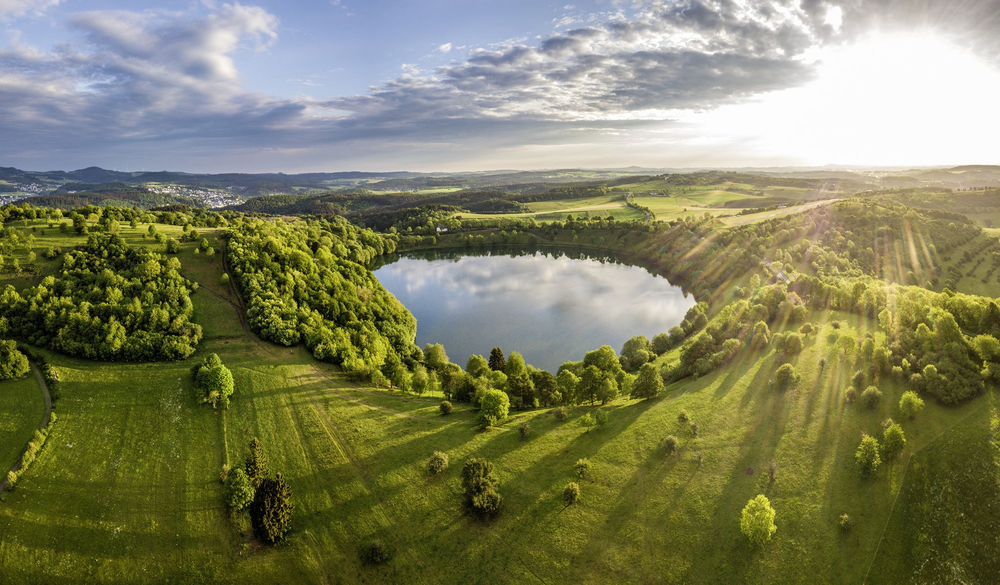
Germany’s Most Beautiful Hiking Trails in the Vulkaneifel

Excellent paths in the Vulkaneifel – Explore the HeimatSpuren
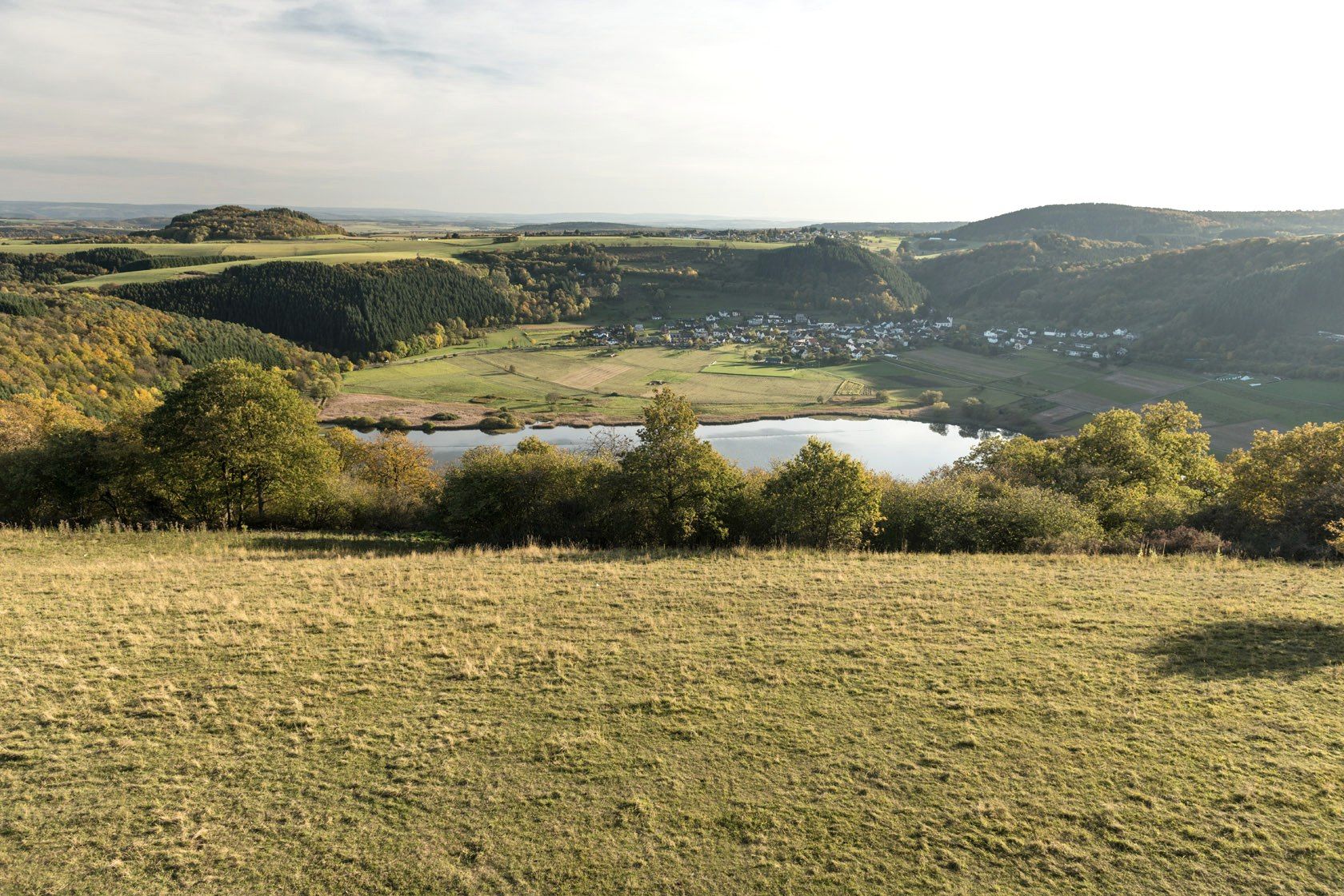
Crater lakes and lava rock – hiking in Germany’s Volcanic Eifel
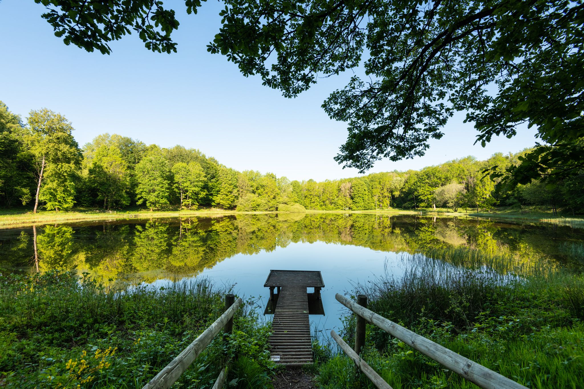
Award-winning hikes – explore the Volcanic Eifel on acclaimed trails
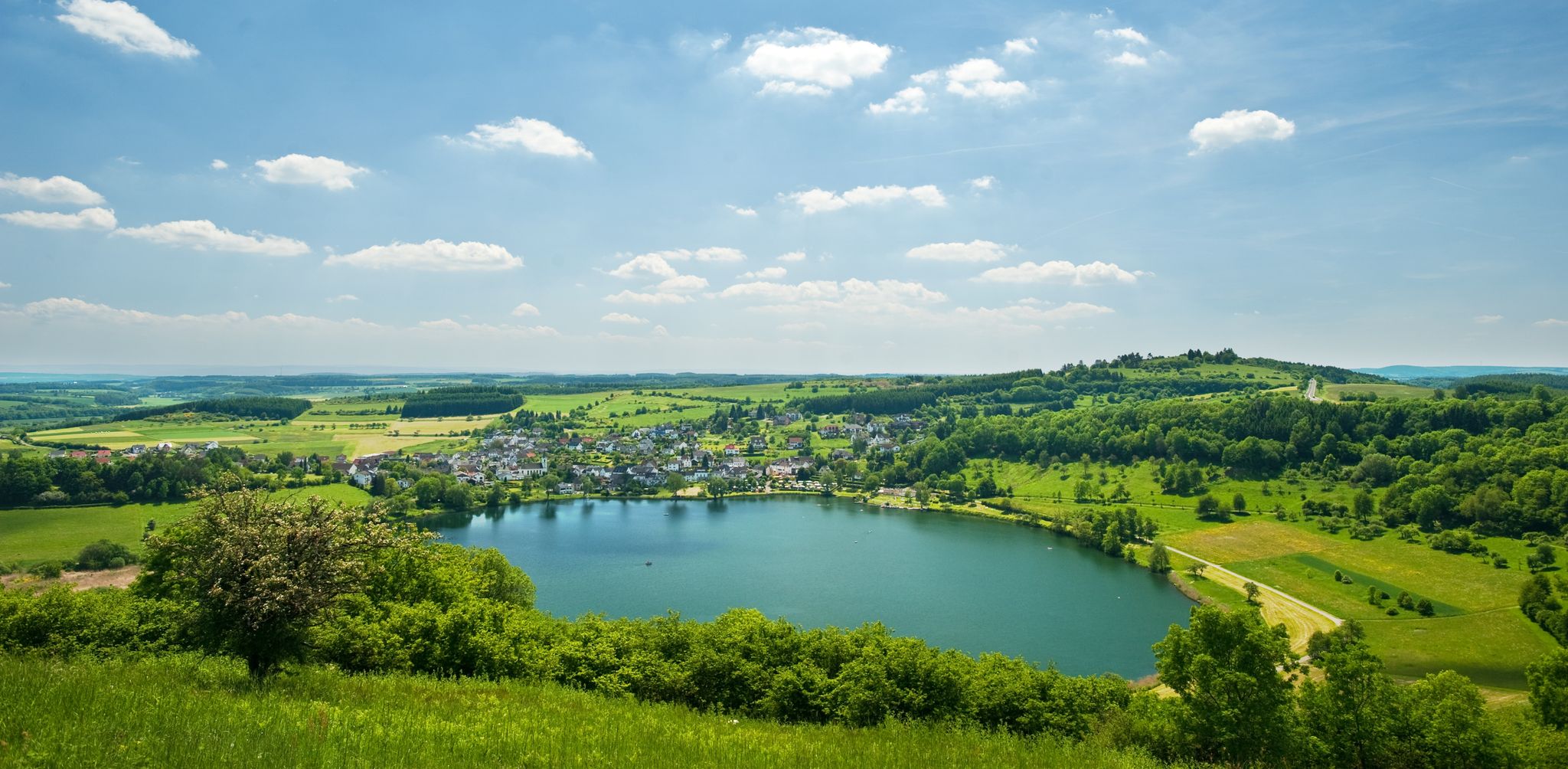
Lava pits & fairytale lakes – hiking through Vulkaneifel in Germany
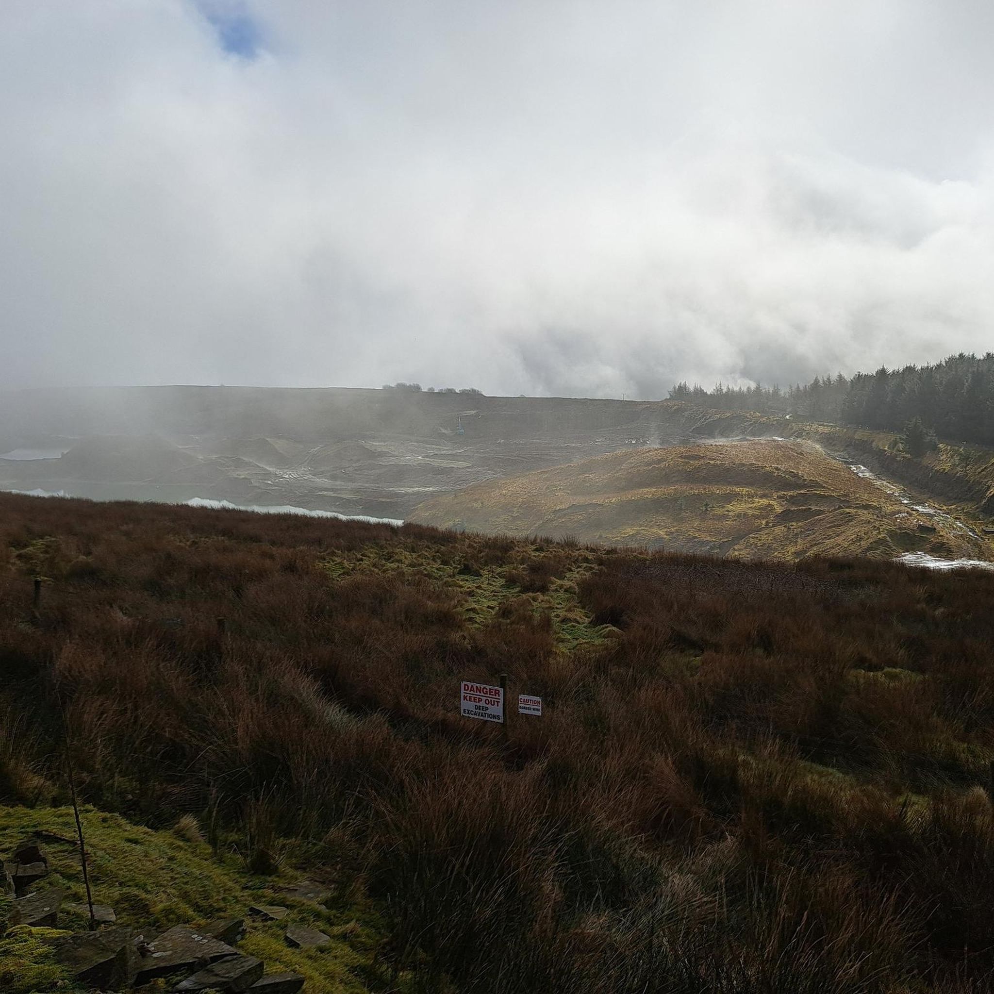
Traffic-free bike rides around Bad Bertrich
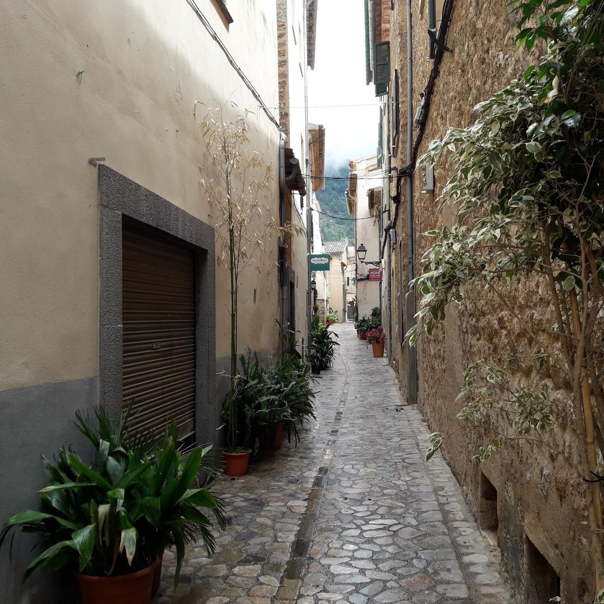
Traffic-free bike rides around Bad Bertrich
Other adventures around Bad Bertrich


Tips from the Community

Great as a final descent and a beautiful spot for a break before the finish with a nice view of the Moselle.
0
0

Very nice region for cycling
1
0

Perfect rest stop, then a lovely climb up to Bonsbeuren and then the trails down to Bad Bertrich! 🚵♂️
1
0

Highly recommended. It's a really great bike ride.
0
0

Approximately 4 km long, with long, straight sections that are unpleasant to ride. Here you can test your mountain rhythm.
0
0

It's really impressive to see
2
0

An exceptional cycle path. Very well signposted. The Moselle was "heavy with traffic."
0
0
Frequently Asked Questions
How many no-traffic road cycling routes are available around Bad Bertrich?
There are 7 dedicated no-traffic road cycling routes around Bad Bertrich, catering to various skill levels. You'll find 4 easy routes, 2 moderate, and 1 difficult option to explore.
What kind of terrain can I expect on no-traffic road cycling routes in Bad Bertrich?
The region offers a diverse landscape for road cyclists. You can expect picturesque rides along the Moselle valley with flatter sections, as well as more demanding climbs in the surrounding hills of the Volcanic Eifel. Routes like the Mont Royal Climb – Kövenig–Enkirch Bicycle Ferry loop from Bad Bertrich feature significant elevation gain, while easier options like the Pünderich Railway Viaduct – Pünderich Hang Viaduct loop from Pünderich offer gentler profiles.
Are there any easy, family-friendly no-traffic road cycling routes in Bad Bertrich?
Yes, there are several easy no-traffic road cycling routes suitable for families. For instance, the View of Holzmaar – Volcano Café Strohn loop from Strohn is an easy 17.7 km route with minimal elevation, perfect for a relaxed ride. Another gentle option is the Pünderich Railway Viaduct – Pünderich Hang Viaduct loop from Pünderich, which is just over 8 km long.
What is the best time of year for no-traffic road cycling in Bad Bertrich?
Spring and autumn are generally considered the best seasons for road cycling in Bad Bertrich. These periods offer mild temperatures and stunning natural beauty, with blooming flowers in spring and vibrant deciduous forests in autumn, enhancing the scenic experience of your rides.
What natural features or landmarks can I see along the no-traffic road cycling routes?
While cycling, you'll encounter the unique volcanic landscape of the Eifel. The region is rich in geological formations, and some routes offer views of maars (volcanic lakes). For example, the Upper Castle of Ulmen – Schalkenmehrener Maar loop from Gillenfeld passes by the Schalkenmehrener Maar. You can also find various huts and shelters, such as the Drieschhütte or Galgenlay shelter, offering scenic viewpoints.
Are there any waterfalls or grottoes accessible near the cycling routes?
While not directly on the road cycling routes, the Bad Bertrich area is known for its natural beauty, including waterfalls and grottoes. The Klidinger Waterfall and the Elf Grotto and Elbesbach Waterfall are notable highlights in the region, often explored via hiking trails. You might consider combining a cycling trip with a short hike to these natural wonders.
Are there any circular no-traffic road cycling routes around Bad Bertrich?
Yes, many of the no-traffic road cycling routes around Bad Bertrich are designed as loops, allowing you to start and end in the same location. Examples include the challenging Mont Royal Climb – Kövenig–Enkirch Bicycle Ferry loop from Bad Bertrich and the moderate Mont Royal Climb – Kövenig–Enkirch Bicycle Ferry loop from Kondelwald.
What do other road cyclists enjoy most about the no-traffic routes in Bad Bertrich?
The no-traffic road cycling routes in Bad Bertrich are highly rated by the komoot community, with an average score of 4.3 out of 5 stars from 276 ratings. Reviewers often praise the profound quietude of the area, the diverse landscapes ranging from Moselle valley views to Eifel climbs, and the opportunity to enjoy cycling away from vehicle traffic.
Are there cafes or places to stop for refreshments along the no-traffic road cycling routes?
While the routes are designed to be traffic-free, many pass through or near charming villages where you can find cafes and pubs. The region is known for its hospitality, and you'll often find opportunities to refuel. For example, the View of Holzmaar – Volcano Café Strohn loop from Strohn specifically mentions a Volcano Café.
Is it possible to access these no-traffic road cycling routes using public transport with a bicycle?
Public transport options in the Bad Bertrich region, particularly those that accommodate bicycles, can vary. It's advisable to check local bus and train schedules and their specific policies regarding bicycle transport in advance, especially if you plan to reach a starting point without a car.
Are there any particularly scenic no-traffic road cycling routes with great viewpoints?
Many routes in the Bad Bertrich area offer fantastic views, especially those that climb into the Eifel hills or run alongside the Moselle. The Mont Royal Climb – Kövenig–Enkirch Bicycle Ferry loop from Bad Bertrich, for instance, provides magnificent panoramic views of the Moselle valley after its challenging ascent. The Galgenlay shelter is also a known viewpoint in the area.
Most popular routes around Bad Bertrich
Most popular attractions around Bad Bertrich

Get inspired with the komoot mobile app


Explore more
Browse the best Road cycling routes in other regions.
