Top 9 Mountain Passes around Sasbachwalden
Mountain passes around Sasbachwalden provide access to the scenic Black Forest, characterized by elevated areas and diverse trails. The region features prominent viewpoints and challenging terrain, offering experiences similar to traditional mountain passes. Sasbachwalden is known for its natural beauty and varied outdoor recreation opportunities, making it a destination for those seeking mountain pass hikes.
Best mountain passes around Sasbachwalden
- The most popular mountain passes is Ringelbacher Kreuz Pass, a mountain pass that serves as a bergkuppe between the…
Last updated: November 6, 2026
Seibelseckle Rest Hut
Highlight • Mountain Hut
Showing Translation
Tip by

Ruhestein Ski Jump and Visitor Centre
Highlight • Rest Area
Translated by Google •
Tip by

Sign up now to discover places like this
Get recommendations on the best single tracks, peaks, & plenty of other exciting outdoor places.
Ringelbacher Kreuz Pass
Highlight • Mountain Pass
Translated by Google •
Tip by

Oppenau–Ruhestein Scenic Road
Highlight (Segment) • Mountain Pass
Translated by Google •
Tip by

Zweifelt Pass route from Zwickgabel to Tonbach
Highlight (Segment) • Mountain Pass
Translated by Google •
Tip by

Sign up for free to discover even more mountain passes around Sasbachwalden.
Already have an account?
Start today with a free account
Your next adventure awaits.
Popular around Sasbachwalden
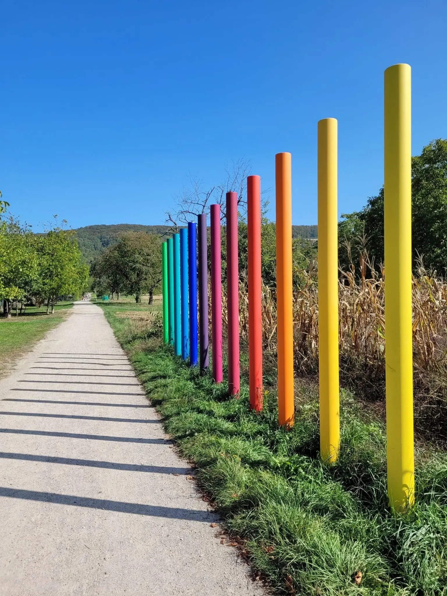
Outdoor Art – art trails in the Black Forest
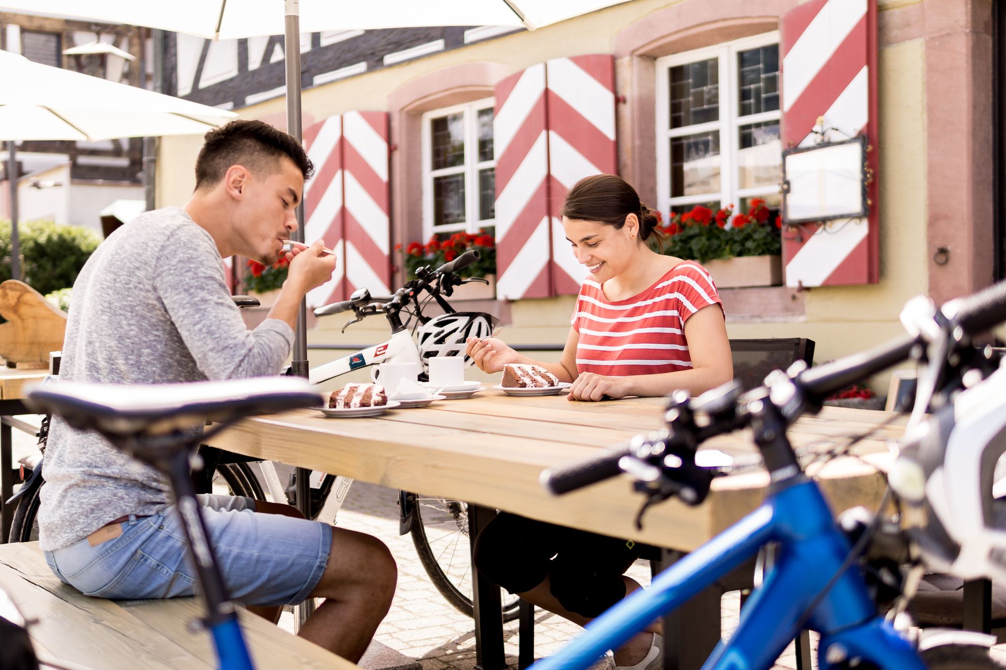
Gentle cycling & fine dining – the Black Forest for connoisseurs
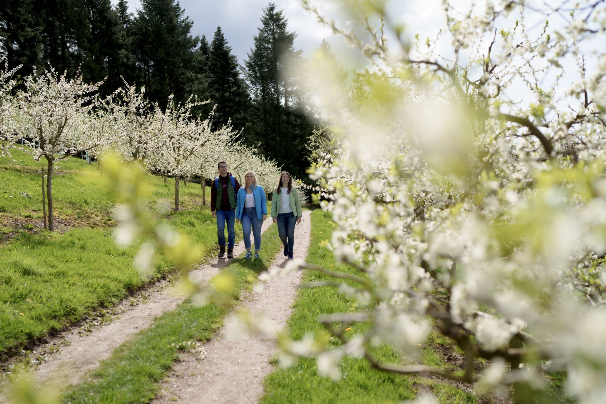
Hiking between Baden's vineyards, wildflowers & green lizards
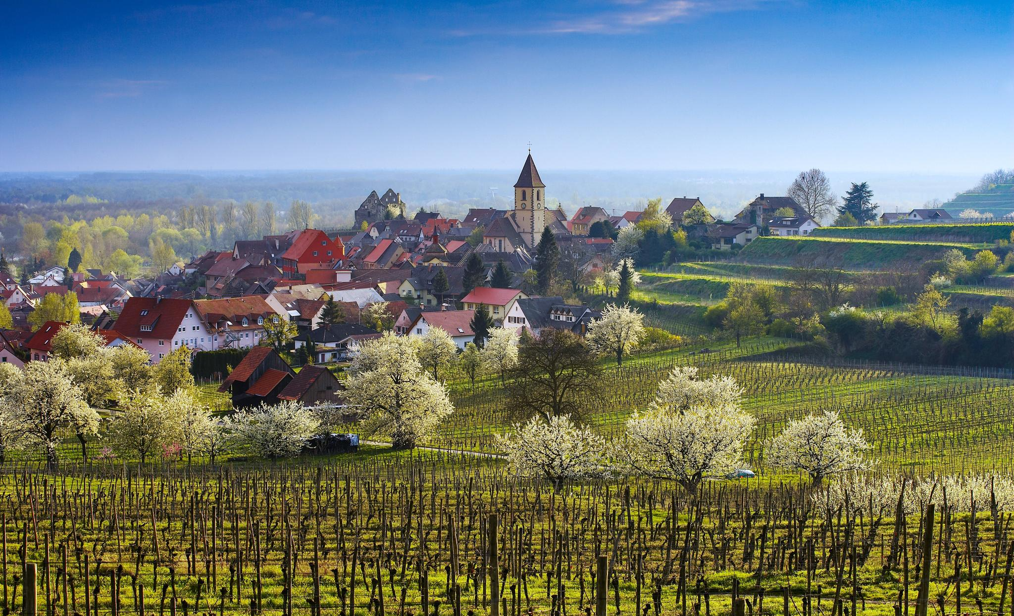
Dreaming in the valley – low-lying spring trails in the Black Forest
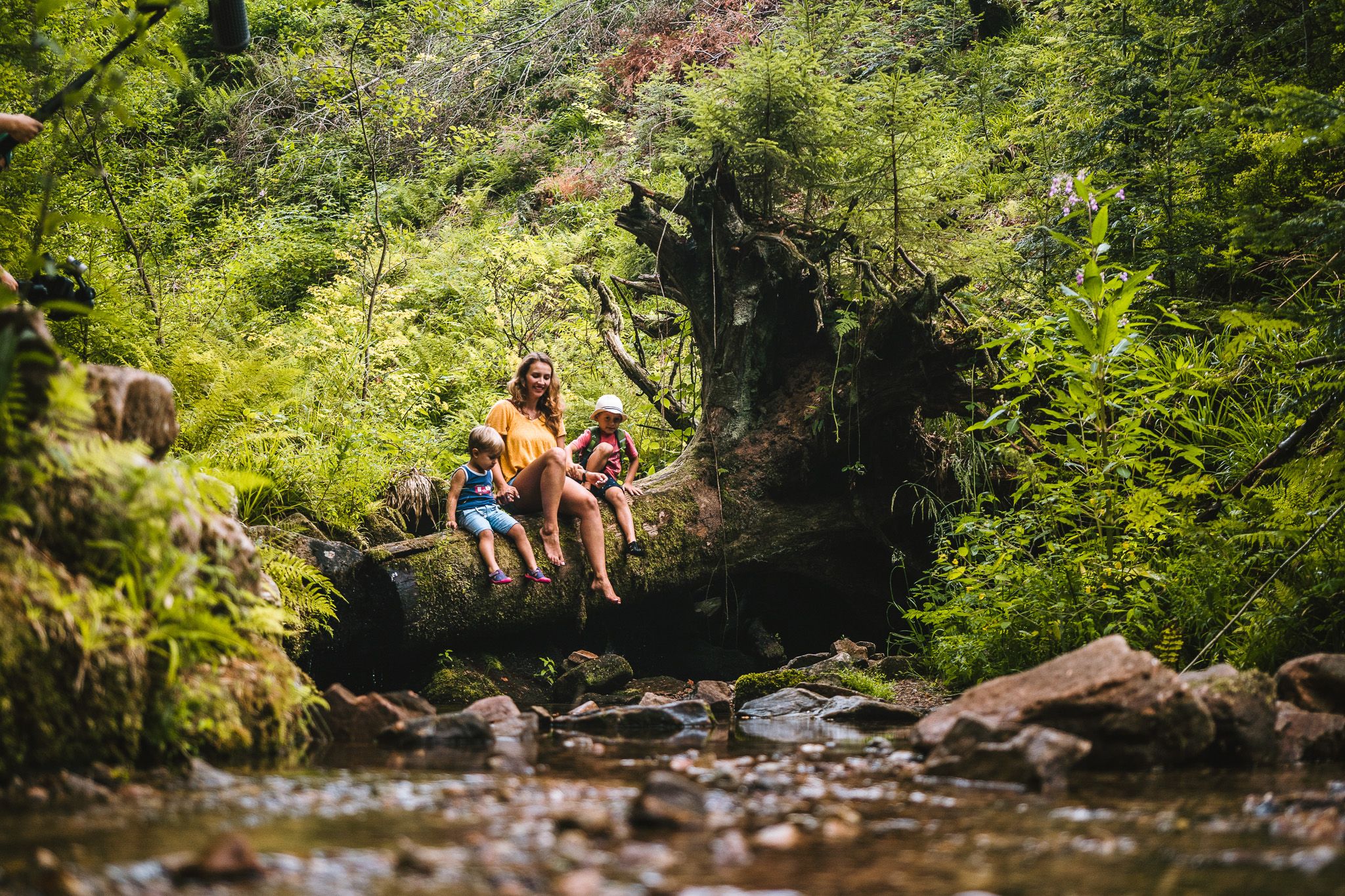
Coolcation in the Black Forest – hiking and cooling off in summer
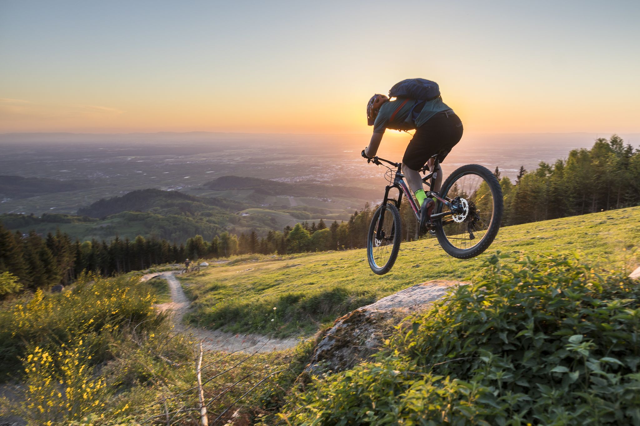
MTB flow in BW! Trails from the Schwarzwald to the Odenwald
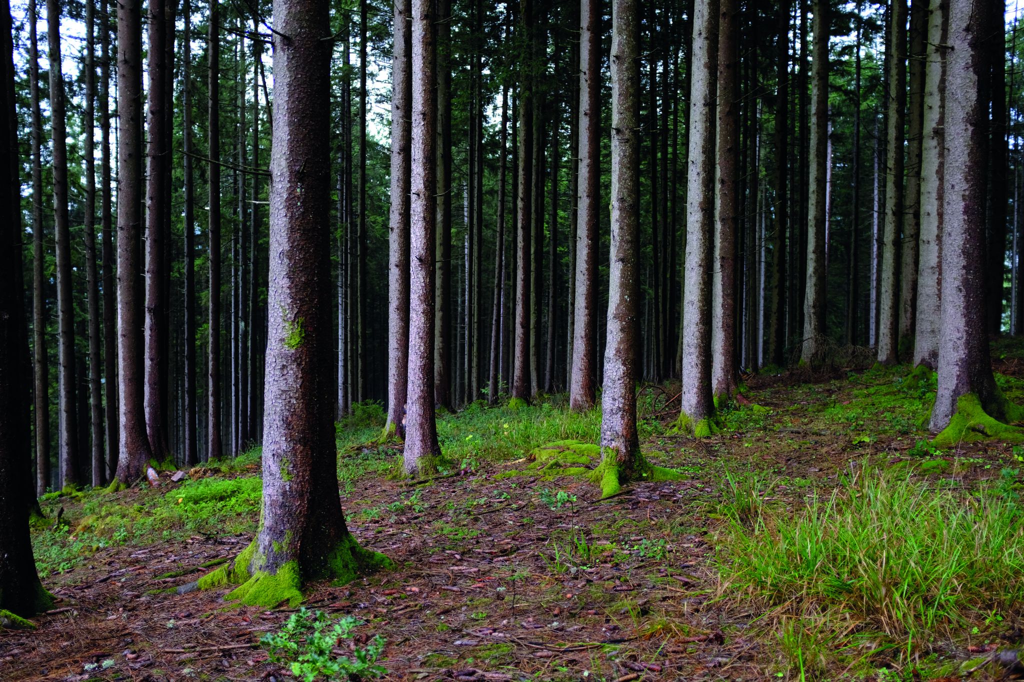
Deep in the Black Forest - Crossing on the Westweg

Hikes to seasonal taverns along the Baden Wine Route in Germany
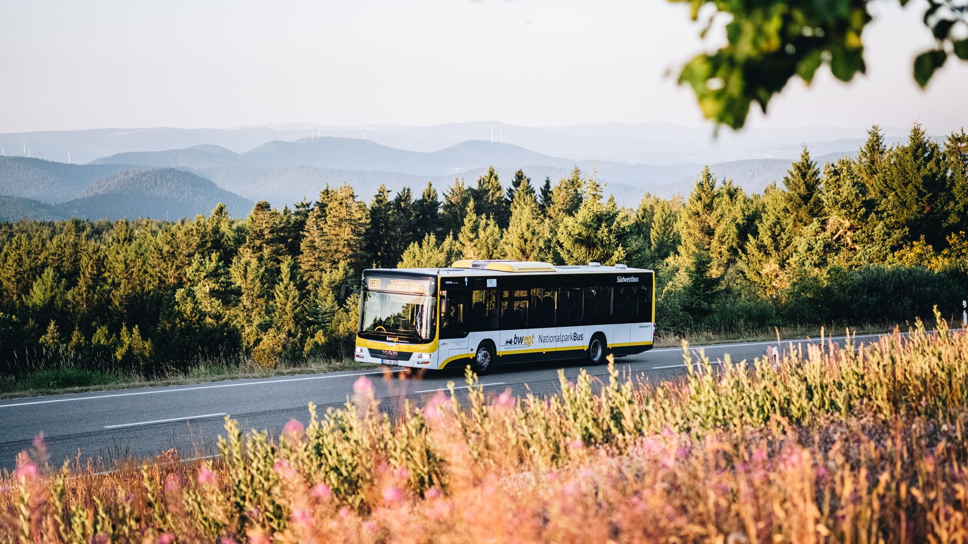
Pure nature: discover the Black Forest by bus and train
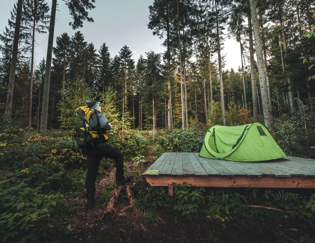
Special overnight stays and trekking camps in the Black Forest
Other adventures around Sasbachwalden


Tips from the Community

Ruhestein Ski Jump Facility History 1908: The first ski jumping hill in Swabia is created as a private company by the Klumpp family of Ruhestein in the rubble of a quarry. The inrun extensions allow jumps of up to 30 m in the following years. 1923: Construction of the "Große Schanze" (Great Jump). Operated by an interest group with the clubs SSV Baiersbronn and Skizunft Ruhestein. Jumps of up to 40 m. 1932: 1st reconstruction for the German Championship. Jumps of up to 50 m. 1952: 2nd reconstruction for the German Championship. Jumps of up to 65 m. Operations are taken over by SV Baiersbronn. 1963: 3rd reconstruction for the German Championship. Jumps of up to 75 m. 1979: Expansion and modernization of the entire facility for FIS requirements. The "Mittlere Schanze" (Middle Jump) is illuminated. The ARGE Ruhestein with the clubs SV Baiersbronn and SV Mitteltal/Obertal takes over operations. 1983: Further modernization and construction of a new inrun tower. 1994: 4th reconstruction into a ski jumping facility with 4 S
0
0

The surface is impeccable on the Tonbach side – which unfortunately ends abruptly at the Überzwerchberg Hut. From there, the trail to Zwickgabel leads over gravel: medium-coarse and somewhat loose. With a little caution, it's the ideal playground for a gravel bike; however, you should think twice about it with a road bike. The gravel section from Zwickgabel is definitely more recommendable uphill than downhill. After the hard work, you'll be rewarded with the descent to Tonbach on a perfect surface. You shouldn't just blast down the narrow, somewhat confusing forest road without guardrails – but 50+ km/h is perfectly acceptable as long as no one is coming the other way.
0
0

Everything you need (and more) is here. It's best to avoid this place on warm Sundays—too many motorcycles! Alternatively, take a dip in the nearby forest.
2
0


Several beautiful tours start or cross at the Ringelbacher Kreuz
4
0

Great little pass. Especially good in winter thanks to the low altitude. Great descents too
1
0

Despite the gravel in places, the ascent from Zwickgabel is definitely doable in dry conditions with 25 or 28 inch tires, and is definitely worth it because of the beautiful descent to Tonbach.
3
0

I have already driven this route Oppenau - Allerheiligen, Ruhestein in both directions this year 2024. If you want to drive this section of the route in a relaxed manner and without heavy traffic, I do not recommend planning it on public holidays such as Easter, Pentecost, Ascension Day or Corpus Christi. Your guide Werner🚵🌲🌄 PS: ALONG THE WAY, stop at viewpoints every now and then and enjoy the views and take photos!!
0
1
Frequently Asked Questions
What are the most popular elevated areas and scenic routes around Sasbachwalden?
While Sasbachwalden is known for elevated areas and scenic trails rather than traditional mountain passes, popular spots include the Ringelbacher Kreuz Pass, which features an old inn with a garden terrace, and the Seibelseckle Rest Hut, an ideal starting point for hikes around Mummelsee and Hornisgrinde. Another favorite is the Oppenau–Ruhestein Scenic Road, which passes by the student rock and the waterfalls and ruins of All Saints.
Are there family-friendly options for exploring the elevated areas near Sasbachwalden?
Yes, the Seibelseckle Rest Hut is considered family-friendly, offering hot and cold dishes and a fountain for drinking water, making it a comfortable stop during an outing. Additionally, the Alde Gott Panorama-Runde, with its gentle paths through vineyards and meadows, can be enjoyable for families, especially with its unique 'schnapps fountains' and a small waterfall.
What kind of views can I expect from the elevated points around Sasbachwalden?
The elevated areas around Sasbachwalden offer stunning panoramic views. From Hornisgrinde, you can enjoy breathtaking vistas over the Black Forest and the Rhine plain. The 'Münsterblick' viewpoint along the Alde Gott Panorama-Runde provides an incredible 360° panorama, extending towards the Vosges Mountains on clear days. Many of the designated mountain passes, such as the Ringelbacher Kreuz Pass and Oppenau–Ruhestein Scenic Road, also feature excellent viewpoints.
What outdoor activities can I do near these elevated areas?
Sasbachwalden is a hub for diverse outdoor activities. You can find numerous hiking opportunities, including easy trails like the 'Wilder Sasbach children's hiking trail' or the 'AugenBlick-Runde Sasbachwalden-Hörchenberg'. For cycling enthusiasts, there are routes like the 'Becke-Alisi Fountain – Alde Gott Winegrowers' Cooperative loop'. Gravel biking is also popular, with challenging routes such as the 'Achertäler Bike & Valley Tour'. You can explore more options in the easy hikes, cycling, and gravel biking guides for Sasbachwalden.
Are there challenging trails for experienced hikers or mountain bikers?
Yes, for those seeking a challenge, Hornisgrinde offers popular mountain biking descents like 'Rumpelstielzchen,' 'Pfad Zwo,' and 'Alpirsbacher Schwarzwaldtrail,' known for their technical and flowy sections. The Rüstenbach–Sohlberg Pass features steep ascents with slopes between 10-12%. The Gaishöll Waterfalls trail, with its 225 steps and 13 wooden bridges, provides an adventurous hiking experience with a 200-meter elevation difference.
What unique natural features can I discover?
The region boasts several unique natural features. Hornisgrinde is home to the Lotharpfad storm-throw adventure trail. The Alde Gott Panorama-Runde includes a peaceful path alongside a small waterfall. The Gaishöll Waterfalls offer a dramatic spectacle as cascades splash down into a narrow rocky gorge. The Oppenau–Ruhestein Scenic Road passes by the student rock and the waterfalls of All Saints.
Are there any historical or cultural sites along these routes?
Yes, the Ringelbacher Kreuz Pass is a historical site with an old inn. The Oppenau–Ruhestein Scenic Road takes you past the ruins of All Saints monastery. The Alde Gott Panorama-Runde winds through vineyards and passes local wineries like Königsrain Winery and Schelzberg Monastery Winery and Distillery, offering a blend of nature and local culture.
Where can I find amenities like food and drink near the elevated areas?
The Seibelseckle Rest Hut, located directly on the Schwarzwaldhochstraße, offers hot and cold dishes and a drinking water fountain. The old inn at the Ringelbacher Kreuz Pass has a cozy garden terrace. Along the Alde Gott Panorama-Runde, you'll find local wineries and unique 'schnapps fountains' where you can sample local brandies and liqueurs.
What is the best time to visit Sasbachwalden for these elevated trails?
The Black Forest region, including Sasbachwalden, is beautiful year-round. Spring and autumn offer pleasant temperatures for hiking and cycling, with vibrant foliage in the fall. Summer is ideal for enjoying the outdoor activities and longer daylight hours. While some trails might be accessible in winter, conditions can vary, so it's best to check local reports for snow and ice.
Is there parking available at the starting points of these routes?
Yes, the Seibelseckle Rest Hut has a fairly large car park nearby, making it a convenient starting point for hikes to Mummelsee and Hornisgrinde. For other routes, parking availability can vary, but trailheads often have designated parking areas.
Can I cycle or gravel bike on all elevated routes around Sasbachwalden?
Not all routes are suitable for all types of bikes. For instance, the Zweifelt Pass route from Zwickgabel to Tonbach has a gravel path section that is not recommended for racing bikes, though the Tonbacher side has a redesigned road closed to motorized traffic, making it excellent for racing cyclists. Always check the trail conditions and recommendations for your specific bike type.
Most popular routes around Sasbachwalden
Most popular attractions around Sasbachwalden

Get inspired with the komoot mobile app


Explore more
See even more epic mountain passes by checking out these guides around Sasbachwalden:
