Top 10 Mountain Passes around Inzell
Best mountain passes around Inzell are situated in the surrounding Chiemgau and Berchtesgaden Alps. This valley community offers a natural landscape with various routes through its mountainous terrain. The area features passes that provide scenic drives and historical significance. These routes connect different valleys and offer access to higher elevations.
Best mountain passes around Inzell
- The most popular mountain pass is View of Falkenstein, a viewpoint and mountain pass that features a small, isolated mountain range with two peaks.…
Last updated: May 26, 2026
Sonntagshorn Summit
Highlight • Summit
Translated by Google •
Tip by

Steep Ascent to Riedl Pass
Highlight (Segment) • Mountain Pass
Translated by Google •
Tip by

Sign up now to discover places like this
Get recommendations on the best single tracks, peaks, & plenty of other exciting outdoor places.
Sign up for free
View of Falkenstein
Highlight • Viewpoint
Translated by Google •
Tip by

Bichl Pass (740 m)
Highlight (Segment) • Mountain Pass
Translated by Google •
Tip by

Roßkarsattel
Highlight (Segment) • Mountain Pass
Translated by Google •
Tip by

Sign up for free to discover even more mountain passes around Inzell.
Sign up for free
Already have an account?
Start today with a free account
Your next adventure awaits.
Login or Signup
Popular around Inzell
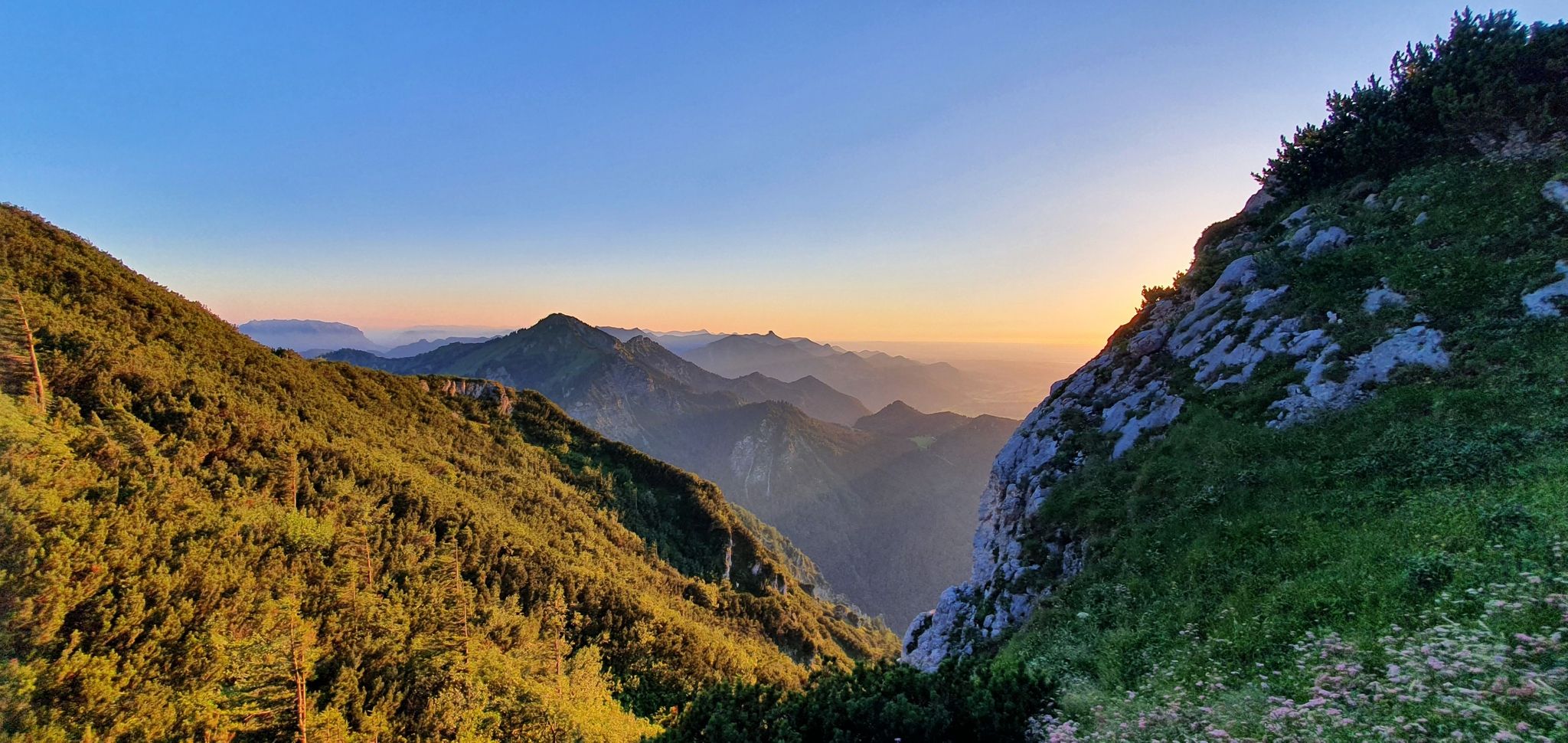
The SalzAlpenSteig – On the tracks of white gold
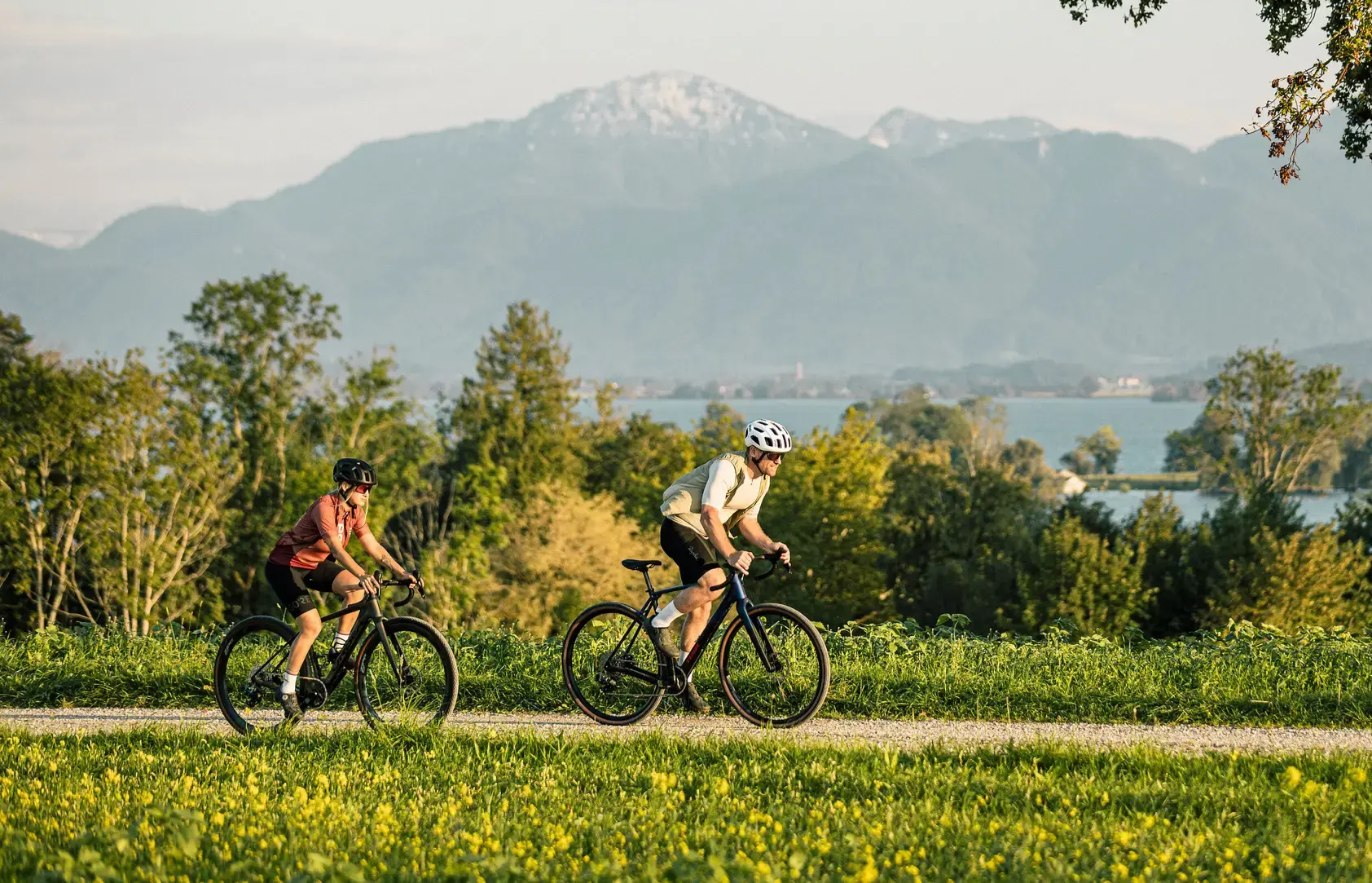
Alps 'n Lakes – Chiemgau Gravel Escapes
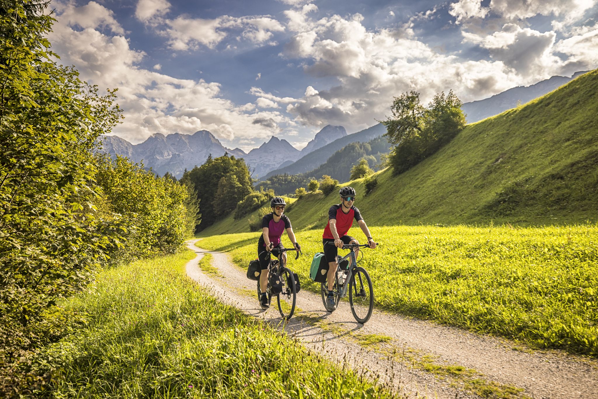
Classic and fantastic – Mozart Cycle Route
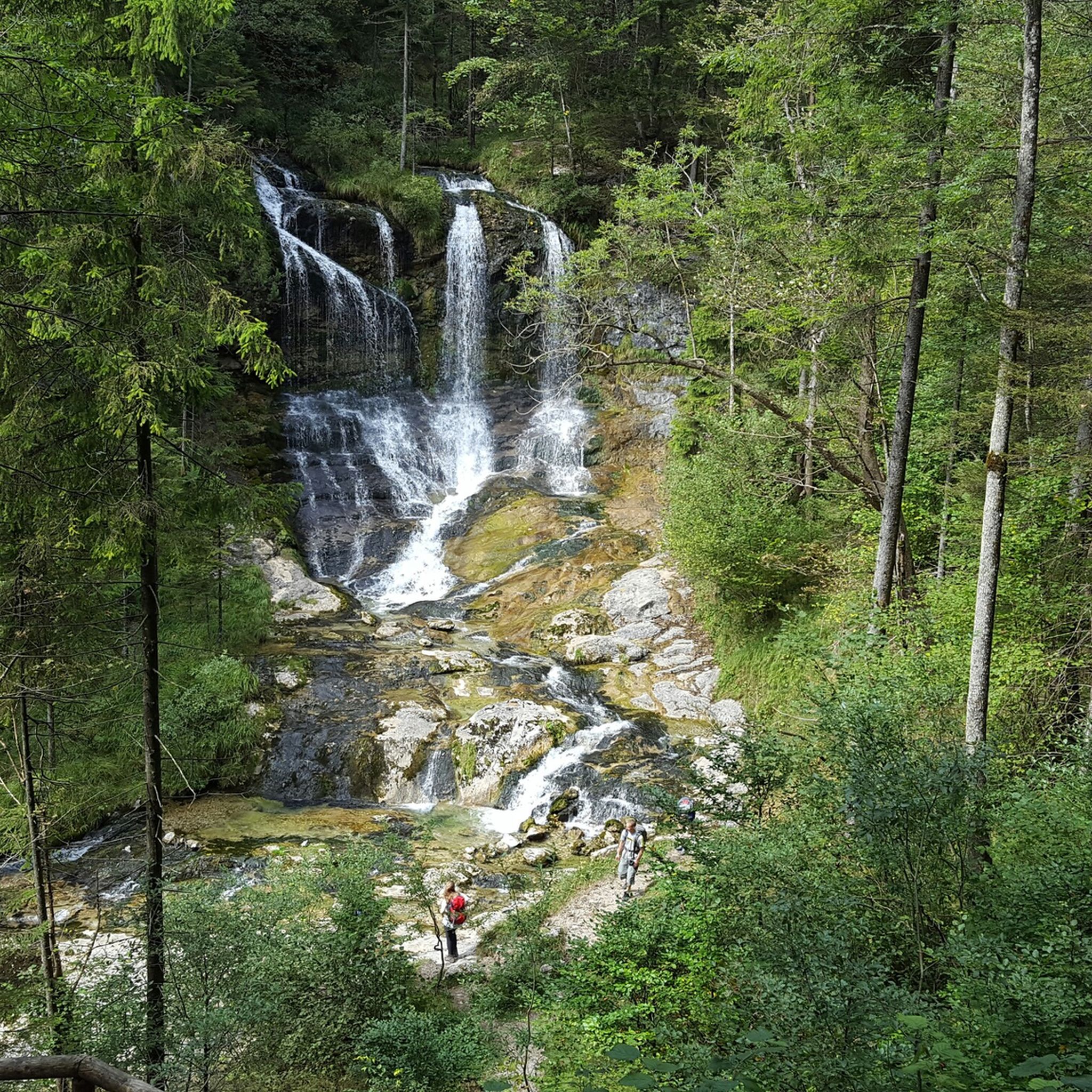
Hiking around Inzell
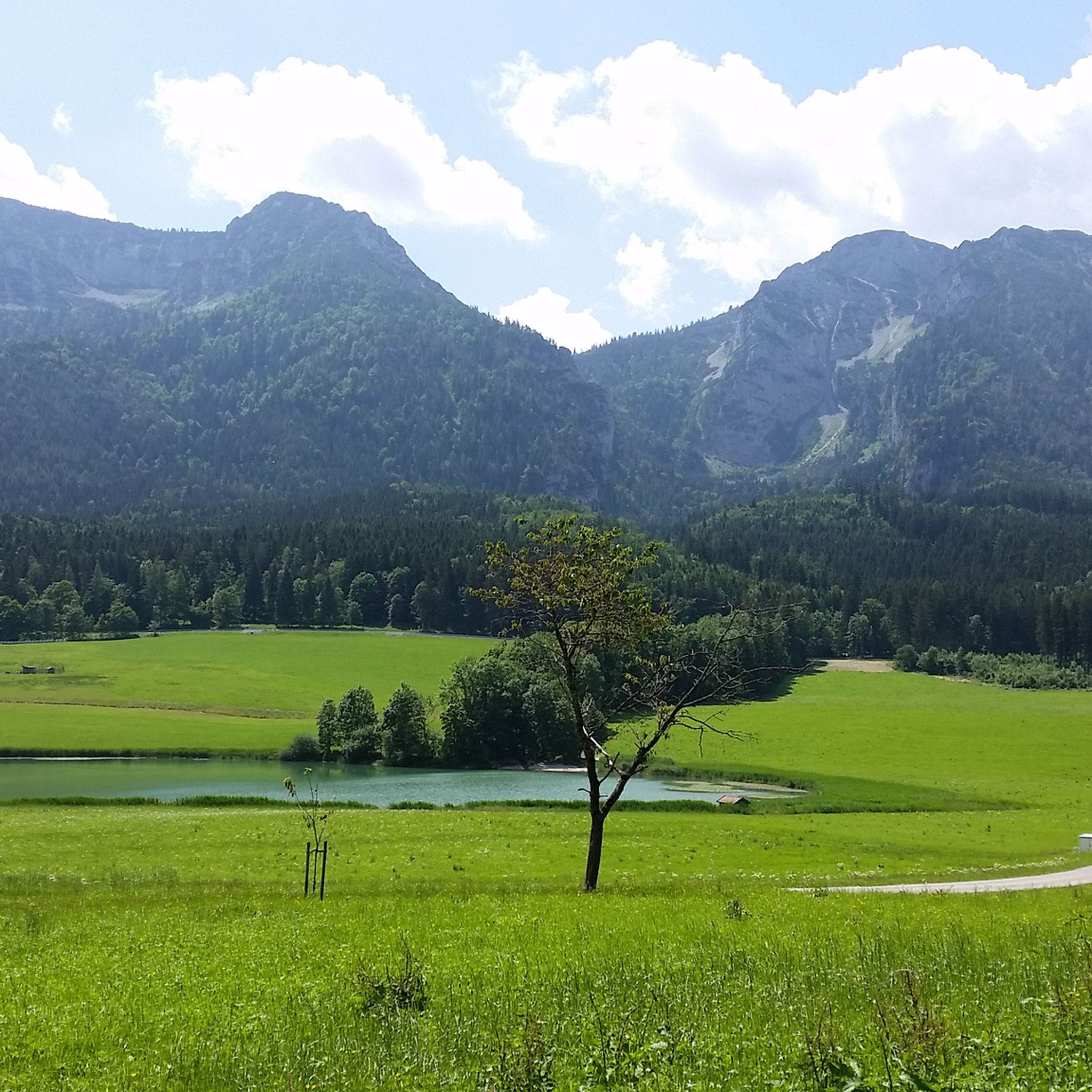
MTB Trails around Inzell
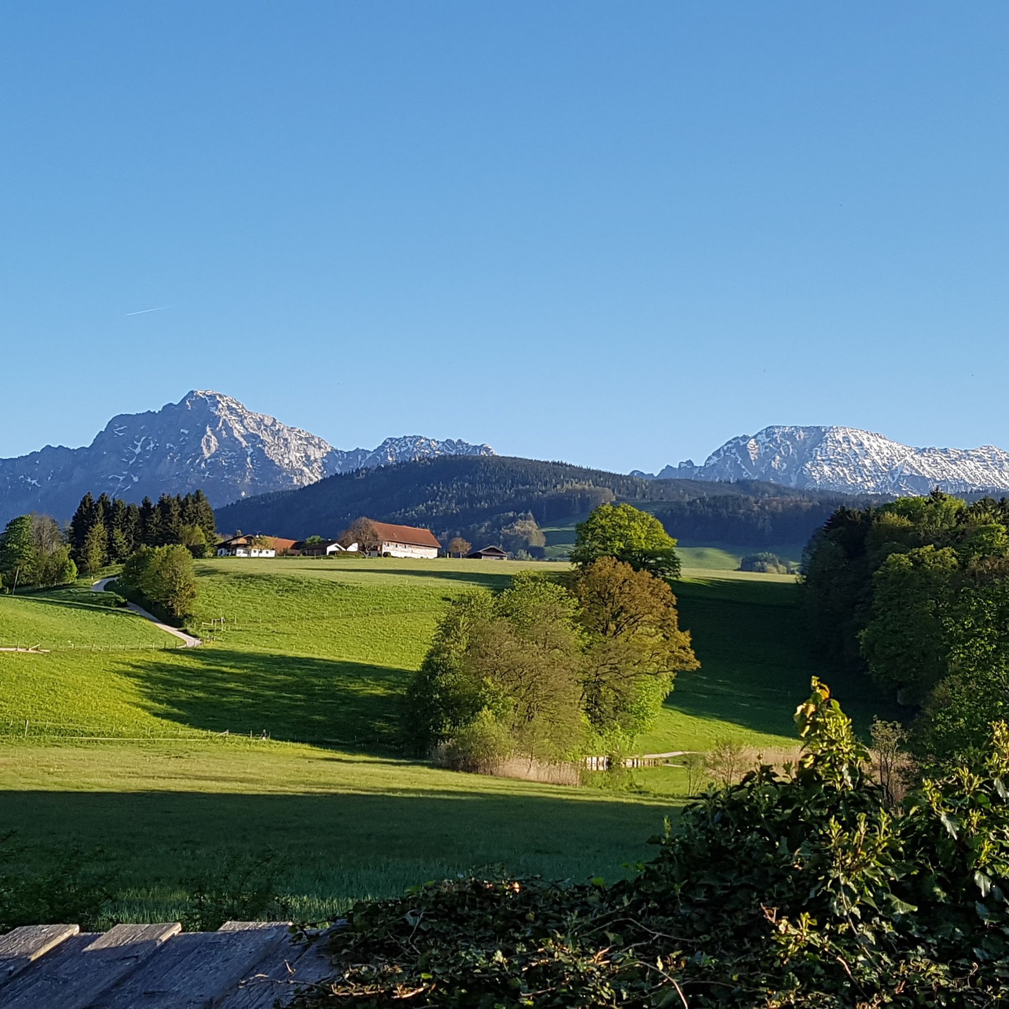
Cycling around Inzell
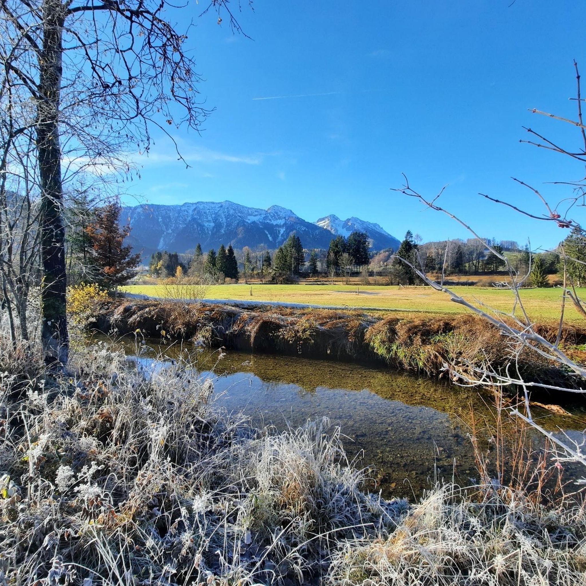
Road Cycling Routes around Inzell
Mountain Hikes around Inzell
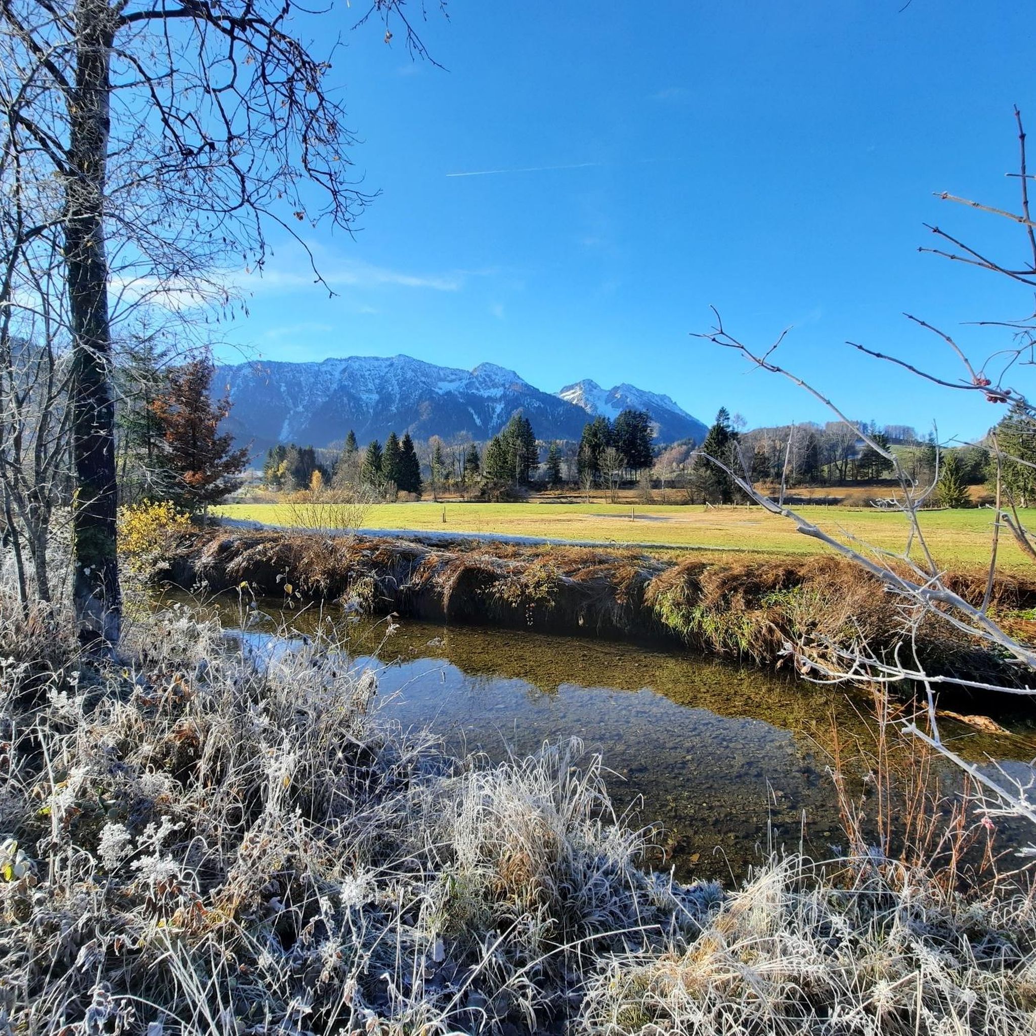
Running Trails around Inzell
Gravel biking around Inzell


Tips from the Community

Since when does the Sonntagshorn belong to the Mangfall Mountains? You must have had one beer too many.
1
0

A beautiful viewpoint peak, the highest in the Chiemgau Alps, and can be reached with relatively little elevation gain thanks to the high hiking car park. A good start for ski tourers and snowshoe hikers.
3
0

The ascent over the stony path is definitely worth it
0
0

Beautiful summit with a challenging view from the German side. In the distance you can see the foothills of Lake Chiemsee
1
0

Super nice view summit. The Sonntagshorn is the highest mountain in the Mangfall Mountains and accordingly you have a great panoramic view of the entire Mangfall Mountains from Dürrnbachhorn to Hörndlwand, Kampenwand, Hochgern, Hochfelln, Chiemsee, Rauschberg, Zwiesel, Hochstaufen and countless more. To the south-east and south you can see the Leoganger and Loferer Steinberge, as well as the Berchtesgaden Alps with Reiteralpe, Hochkalter, Watzmann and Hochgöll. Salzburg is also within reach in the valley and in the distance the Great Wiesbachhorn and the Grossglockner are also visible on clear days. Really great
2
2

If you start from the Heutal, it's worth taking both peaks with you and walking around the saddle
0
0
Highest peak in the Chiemgau. The easiest ascent is via the hiking trail from Heutal, the two ascents from Bavaria via the Kraxenbach valleys (climbing passages and debris tears) are more difficult.
1
0

The Falkenstein forms a small, isolated mountain range stretching north-northeast. It stretches over 1.9 kilometers but is only 1 kilometer wide. To the north is the 785 meter high Söldenberg. The Falkenstein range has two peaks - a 1092 meter high pre-summit with a summit cross in the north (north peak) and the actual 1181 meter high main peak at the southern end of the range. Orographically, the southwest side of the Falkenstein range is separated from the Kienbergl (1135 m) in the west by a rather narrow valley. A small stream flows through this valley, ending in the Zwingsee at the western foot of the mountain, and it is also crossed by the German Alpine Road (B 305). The east side of the Falkenstein forms the wide valley, which separates it from Scharnkopf (1356 m) and Gruberhörndl (1493 m). The Falkenseebach flows through the Weittal into the Falkensee and then further north in the direction of Inzell. The Falkenseebach rises in several springs at the southern end of the wide valley west below the Great Tower (1120 m). Just under 900 meters southwest of the main summit, the so-called Weißbach waterhole also flows out of the so-called water hole at the end of the Weittal, which, however, continues south past Scharmann in the direction of the Weißbach glacier garden. The watershed between the catchment area of the Rote Traun and the Saalach runs between these two source areas. At the northeast end of the Falkenstein below the Söldenberg is the Krottensee, whose small outflow flows into the Falkenseebach on the left. (Wikipedia)
0
0
Frequently Asked Questions
What are some scenic mountain passes near Inzell?
Beyond the well-known spots, you can explore the Maserer Pass, which offers picturesque drives and connects the Tiroler Ache valley with the Schwarzlofer valley. Another option is the Schwarzbachwacht Pass, known for its impressive mountain scenery and views of the Lattengebirge and Reiter Alpe.
Are there historical mountain passes in the Inzell area?
Yes, the Schwarzbachwacht Pass historically served as a border fortification for the Prince-Provostry of Berchtesgaden. The Steinpass, located near the German-Austrian border, also has a rich history as a significant border crossing and customs point, with its origins potentially dating back to the mid-14th century.
What kind of outdoor activities can I do near the mountain passes around Inzell?
The area around Inzell's mountain passes is excellent for various outdoor activities. You can find numerous hiking trails, such as the 'Falkenstein round' or the 'Mountain forest adventure trail at Frillensee'. For cyclists, there are road cycling routes like the 'Ruhpolding Village Center – Siegsdorf–Hammer Cycle Path loop'. More challenging mountain hikes are also available, including routes to the 'Hochstaufen summit'. You can find more details on these activities in the Hiking around Inzell, Road Cycling Routes around Inzell, and Mountain Hikes around Inzell guides.
Are there hiking trails suitable for different difficulty levels near Inzell's mountain passes?
Absolutely. You can find a range of hiking trails from easy to difficult. For example, the 'Falkenstein round' is an easy option, while the 'Mountain forest adventure trail at Frillensee' is moderate. For experienced hikers, routes like the 'Hochstaufen summit – Reichenhaller Hut loop' offer a difficult challenge. Many passes, like the Schwarzbachwacht Pass, serve as popular starting points for mountain tours.
Which mountain passes near Inzell are good for cycling?
The Maserer Pass is part of the well-developed B305, also known as the German Alpine Road, making it suitable for cycling. The Schwarzbachwacht Pass, also on the B305, is known for its challenging sections with a 10% gradient, appealing to cyclists seeking a physical test. The Hallthurmer Berg also features a paved bike path through a forest.
Are there family-friendly options among the mountain passes around Inzell?
While specific family-friendly passes aren't highlighted, the region offers easy hiking trails that could be suitable for families. For instance, the 'Falkenstein round' is an easy hike, and the 'North Shore of the Frillensee – Frillensee boardwalk loop' is also rated as easy. These trails provide a gentle way to experience the natural beauty near the passes.
What natural features can I expect to see at these mountain passes?
The mountain passes around Inzell are set amidst the Chiemgau and Berchtesgaden Alps, offering diverse natural features. You can expect impressive mountain scenery, such as near the Schwarzbachwacht Pass with peaks like Karspitz and Edelweißlahnerkopf. The Maserer Pass features wide curves around the Walmberg and leads through mixed and beech forests. Nearby lakes like Taubensee and Hintersee also add to the natural beauty.
When is the best time of year to visit the mountain passes around Inzell?
The best time to visit generally depends on your preferred activity. For hiking and cycling, late spring to early autumn (May to October) offers the most favorable weather conditions. While the Maserer Pass is generally well-maintained, winter travel can sometimes require special equipment due to its elevation, so check local conditions if planning a winter visit.
Are there any challenging climbs for experienced hikers or cyclists?
Yes, for experienced cyclists, the Schwarzbachwacht Pass presents a challenging route with sections reaching a 10% gradient. For hikers, the Steep Ascent to Riedl Pass is noted for its challenging climb, including a twelve percent ramp and a maximum gradient of 13 to 14 percent, especially when leaving the forest.
What makes the mountain passes around Inzell unique for visitors?
Visitors appreciate the combination of scenic beauty, historical significance, and diverse outdoor activities. The passes offer picturesque drives, challenging routes for cyclists, and access to numerous hiking trails. The historical context of passes like the Steinpass and Schwarzbachwacht adds another layer of interest, allowing visitors to connect with the region's past while enjoying its natural splendor.
Is parking available at the trailheads for mountain passes near Inzell?
While specific parking details for every trailhead are not provided, it is common for popular hiking and cycling routes in the Bavarian Alps to have designated parking areas. For example, the Schwarzbachwacht Pass is a popular starting point for mountain tours, suggesting accessibility for visitors arriving by car.
Can I bring my dog on trails near Inzell's mountain passes?
Many outdoor trails in the Inzell region are dog-friendly, but it's always recommended to check specific trail regulations or local signage. Generally, dogs are welcome on leash on most hiking paths, especially those in natural areas. Be sure to carry water for your pet and clean up after them.
How can I reach the mountain passes around Inzell using public transport?
Public transport options to specific trailheads or pass summits can vary. While some passes are part of well-trafficked roads like the B305 (German Alpine Road), direct public transport to all starting points for hikes might be limited. It's advisable to check local bus schedules for routes connecting Inzell to nearby towns or specific pass locations before your trip.
Most popular routes around Inzell
Most popular attractions around Inzell

Get inspired with the komoot mobile app


Explore more
See even more epic mountain passes by checking out these guides around Inzell:
