The best walks and hikes around Inzell
4.5
(6638)
29,516
hikers
287
hikes
Hiking around Inzell offers diverse landscapes within the Chiemgau Alps, characterized by a mix of mountain terrain, serene glacial lakes, and unique moorlands. The region features extensive Bavarian forests and showcases geological formations from its glacial history. This varied topography provides a range of hiking experiences, from gentle loops around lakes to more challenging ascents.
Best hiking trails around Inzell
- The most popular hiking route is Falkenstein round, a 4.4 miles (7.0 km) trail that takes 1 hour 51…
Last updated: September 23, 2026
4.7
(819)
2,870
hikers
7.02km
01:51
70m
60m
Easy hike. Great for any fitness level. Easily-accessible paths. Suitable for all skill levels.
4.8
(357)
1,746
hikers
5.93km
02:03
140m
140m
Moderate hike. Good fitness required. Easily-accessible paths. Suitable for all skill levels.

4.8
(96)
502
hikers
4.19km
01:54
290m
290m
Moderate hike. Great for any fitness level. Mostly accessible paths. Sure-footedness required.
4.8
(735)
3,372
hikers
6.17km
01:47
150m
150m
Easy hike. Great for any fitness level. Easily-accessible paths. Suitable for all skill levels.
4.6
(321)
1,191
hikers
10.2km
03:07
360m
360m
Moderate hike. Good fitness required. Easily-accessible paths. Suitable for all skill levels.
Get access to more routes and recommendations from other explorers.
Already have an account?
Our route recommendations are based on thousands of hikes, rides, and runs completed by other people on komoot.
Start today with a free account
Your next adventure awaits.
Popular around Inzell
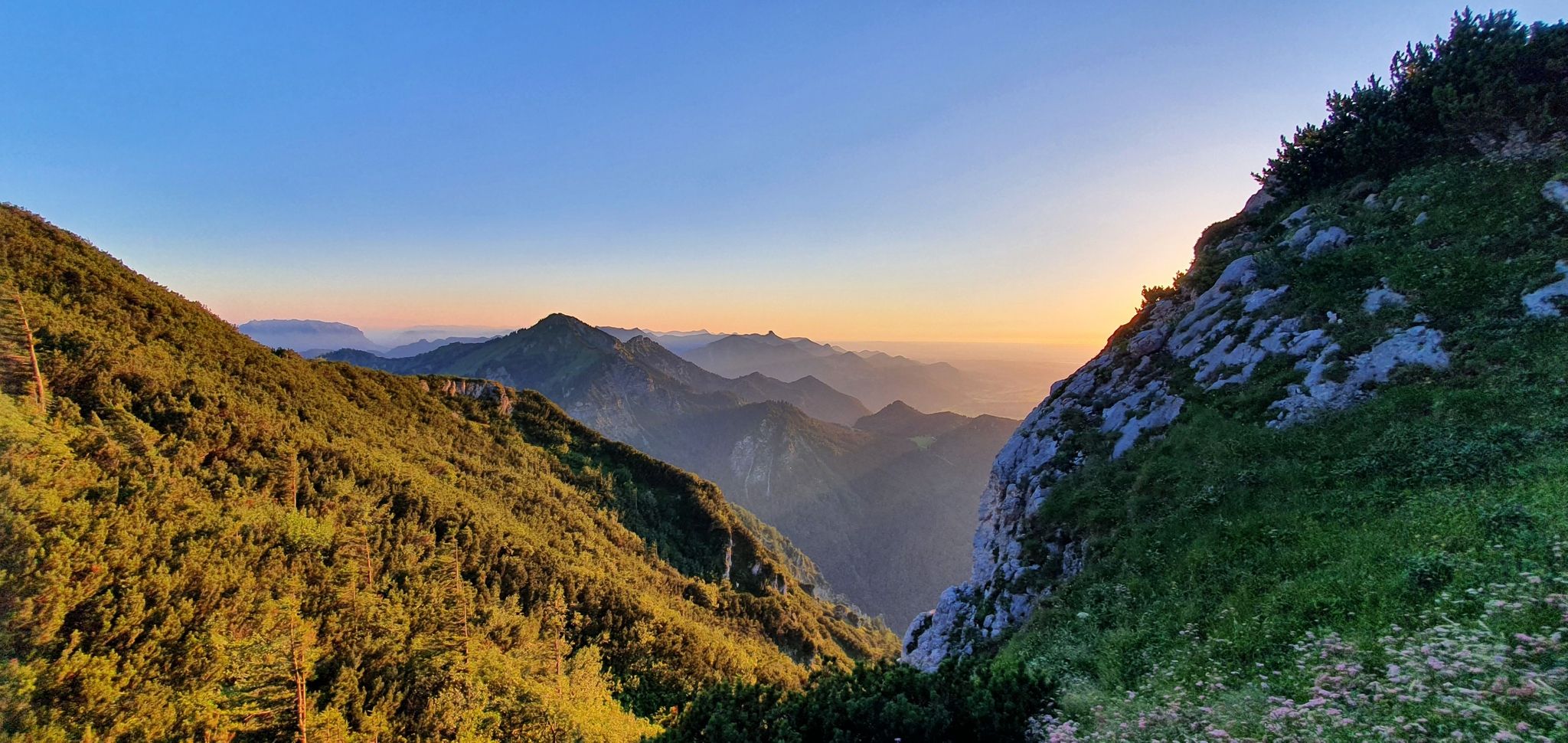
The SalzAlpenSteig – On the tracks of white gold
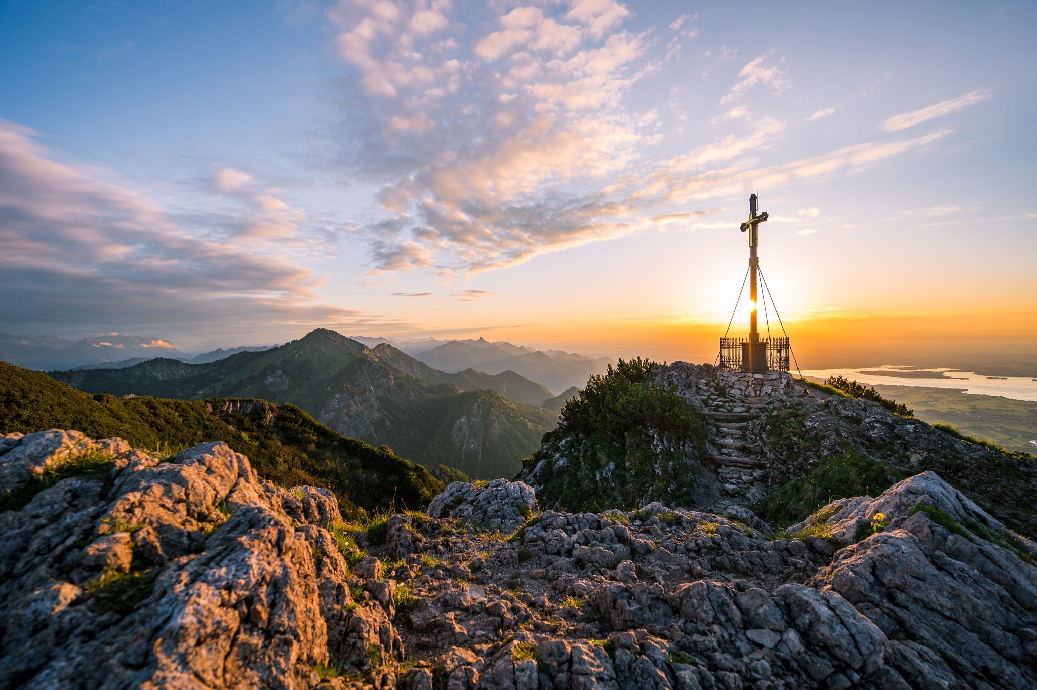
Autumn in Chiemgau – an atmospheric hiking break for two
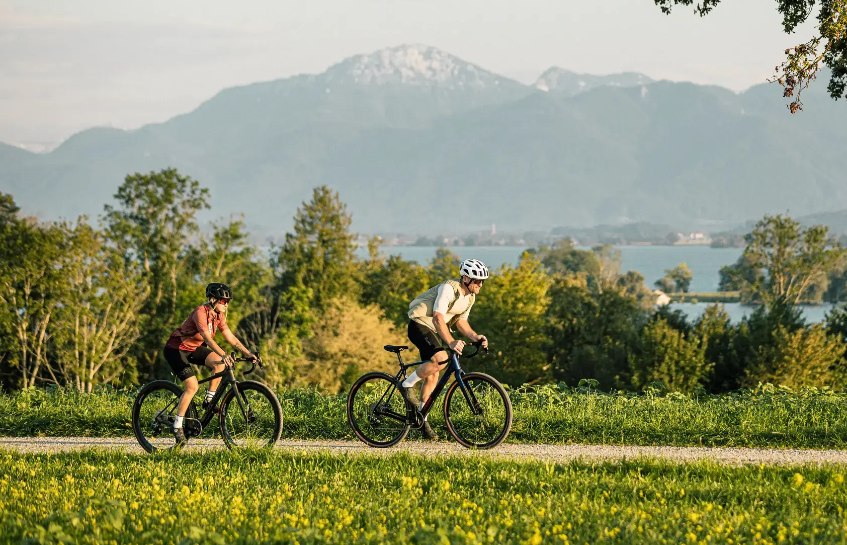
Alps 'n Lakes – Chiemgau Gravel Escapes
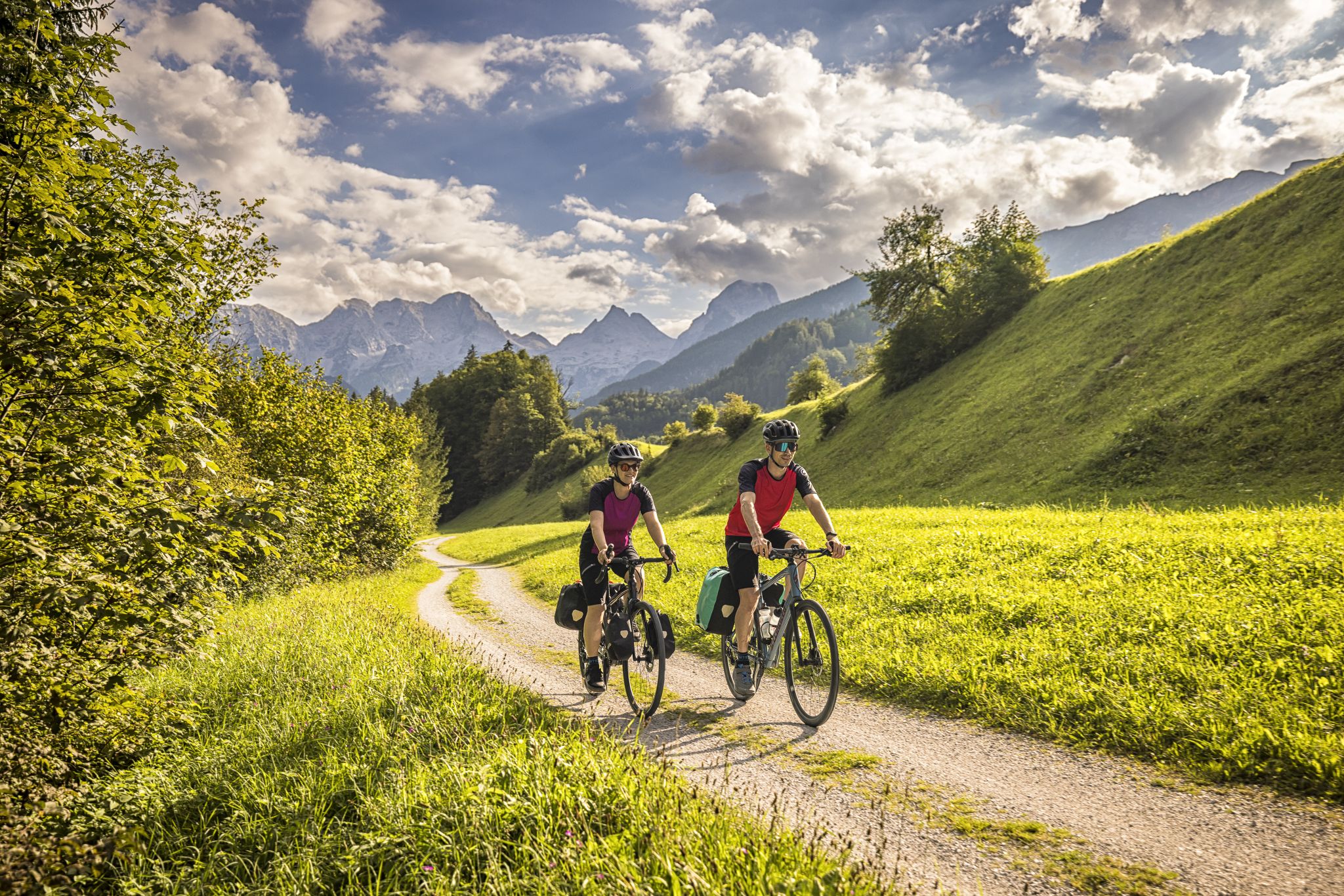
Classic and fantastic – Mozart Cycle Route
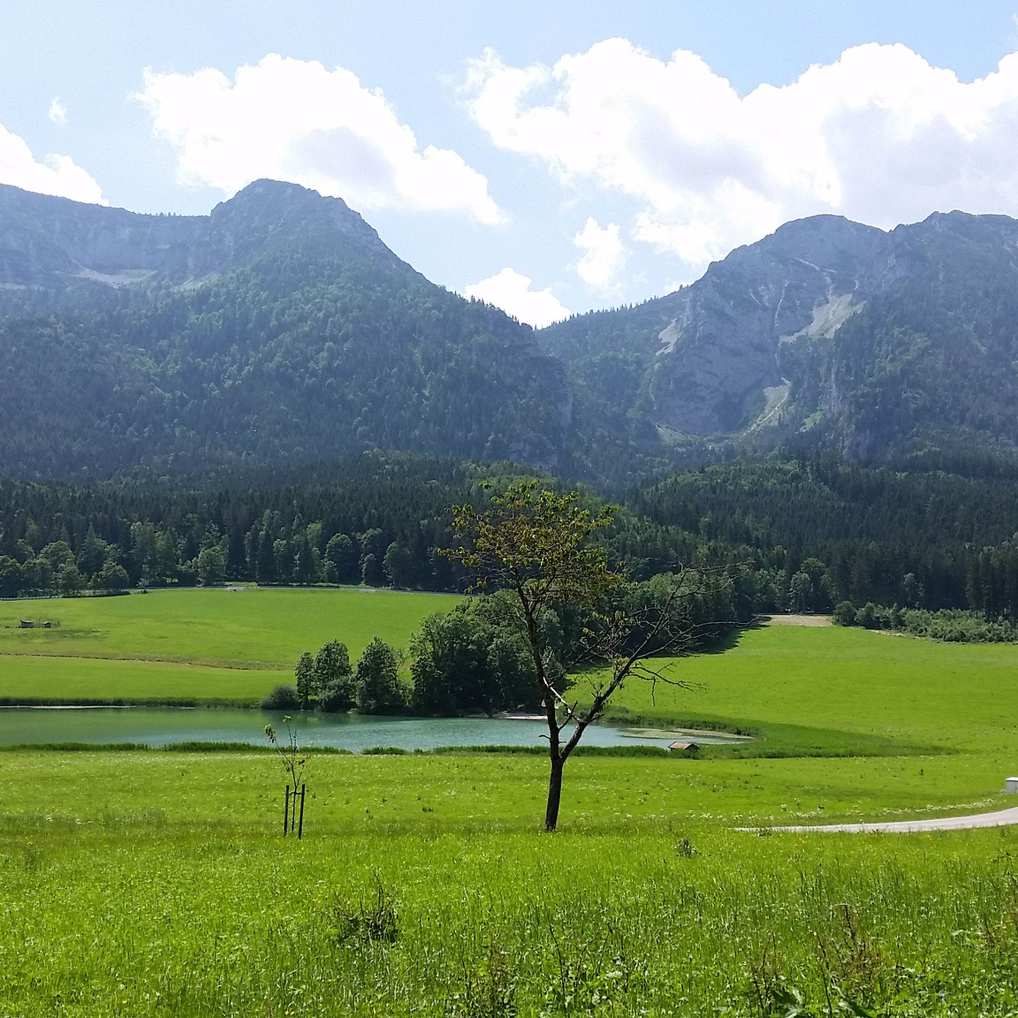
MTB Trails around Inzell
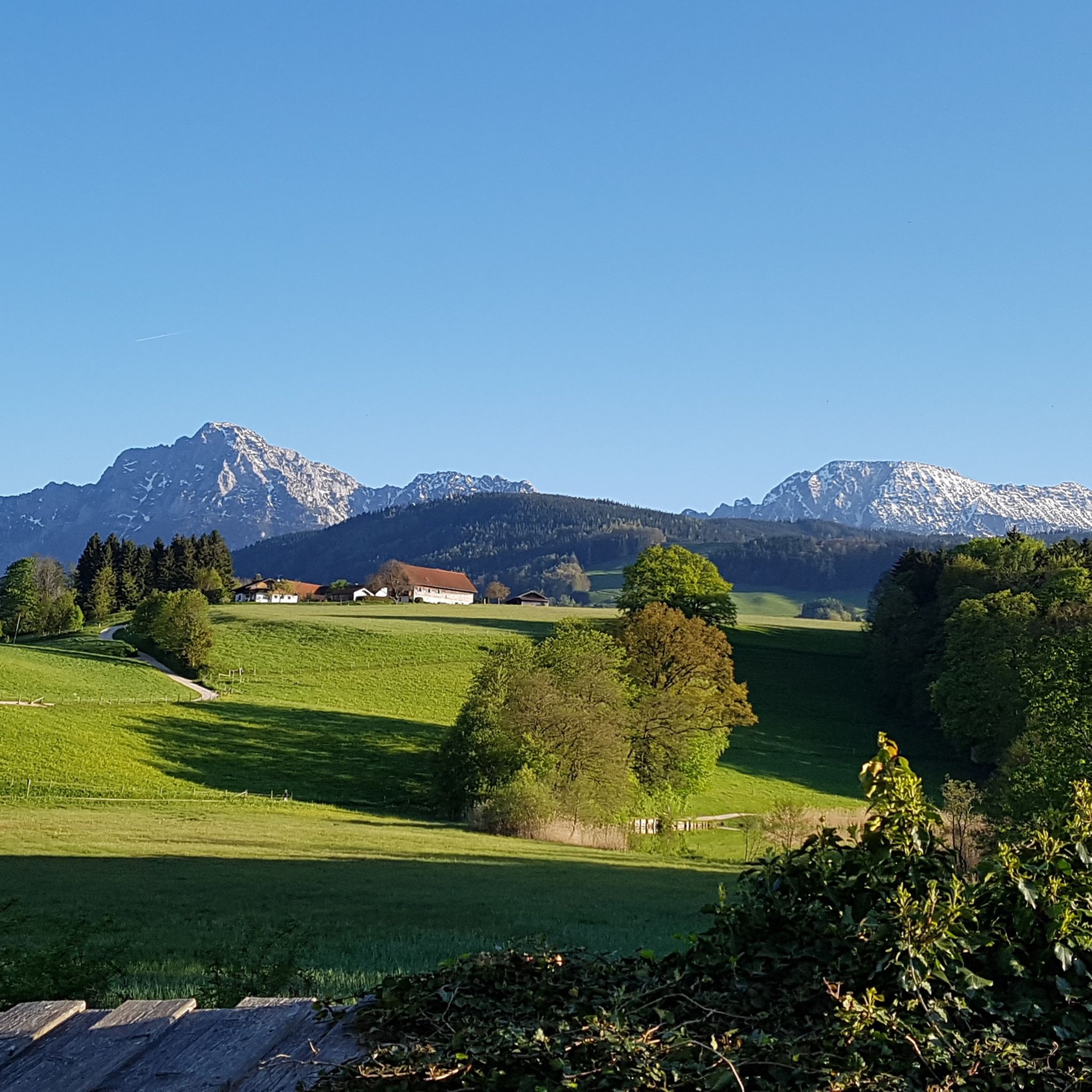
Cycling around Inzell
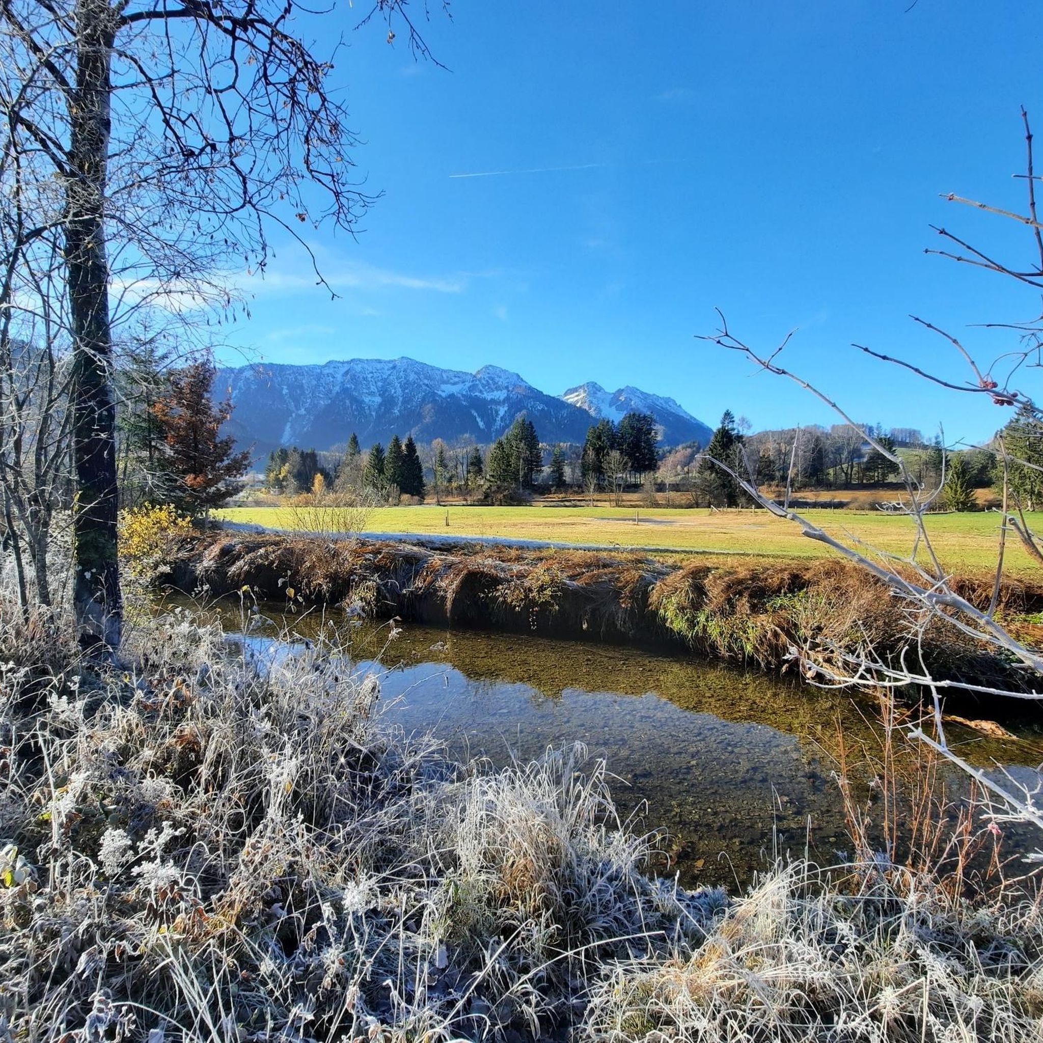
Road Cycling Routes around Inzell
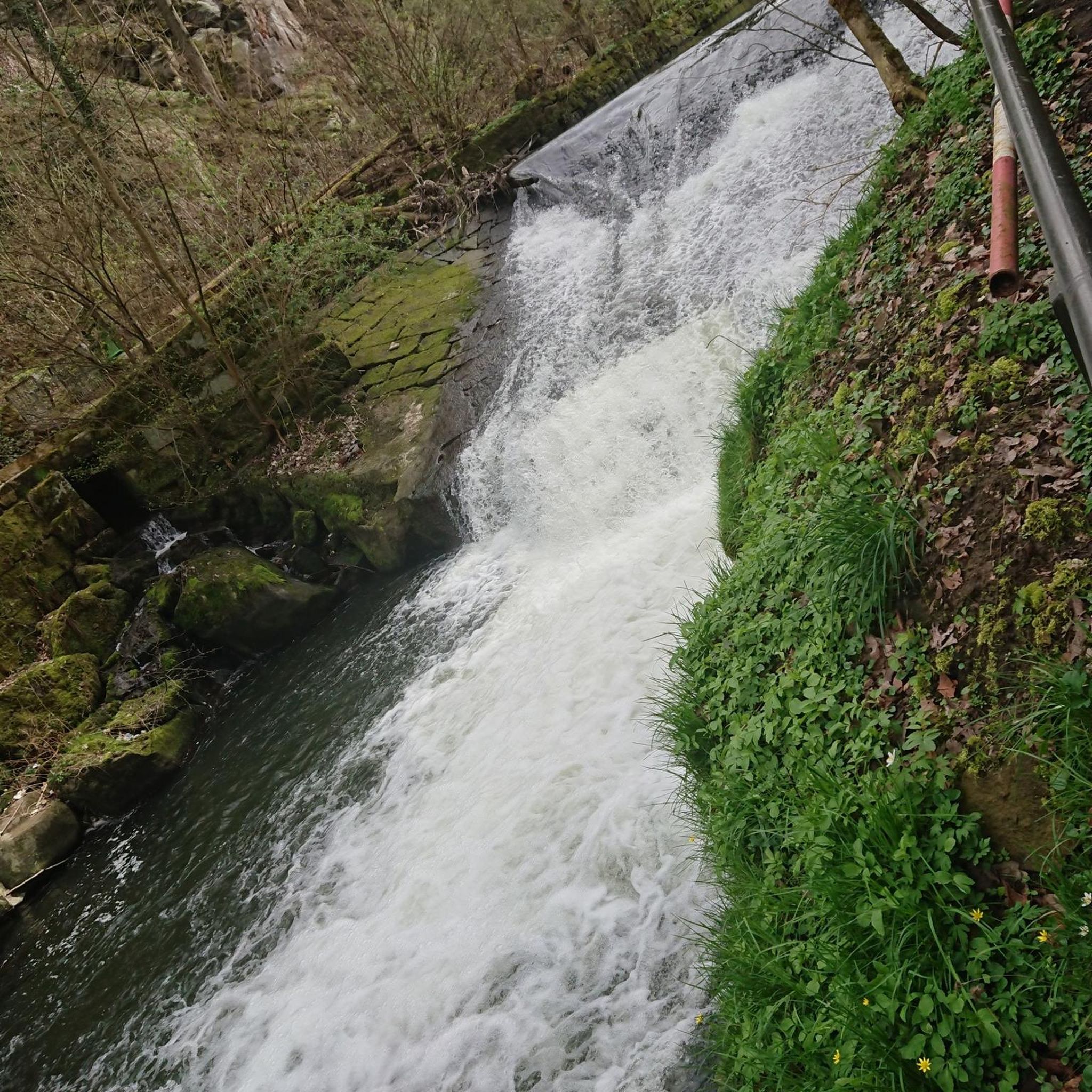
Mountain Hikes around Inzell
Running Trails around Inzell
Gravel biking around Inzell
Other adventures around Inzell


Tips from the Community

Wow,,, we wouldn't have expected this here... Sooo beautiful here!
0
0
Wow,,, we didn't expect this here... So beautiful here!
0
0
Wow,,, we wouldn't have expected this here... Sooo beautiful here!
0
1


At the summit of Kleiner Kienbergl, there is not much more space than for a narrow bench. The view, however, reaches all the further. Below you, the Inzell basin spreads out, framed by Sulzbergschneid and Teisenbergkopf – below is the town, the valley of the Rote Traun, and the picturesque mountain landscape of the Chiemgau.
1
0
One kilometer that packs a punch! Above Zwing, the Brennasteig (trail number 28) branches off from the forest path and then winds its way up the south slope of the Inzeller Kienberg. The path leads over stock and stone. Stairs made of roots lead up to the summit. You should pay attention to your footing, not just when it's wet. You will be rewarded with a fantastic view of the Inzell valley basin.
1
0
Geographically, the wooded mountain ridge of the Scharnkopf forms the western spur of the long Staufen ridge. Six hundred meters of altitude separate the valley from the summit of the Scharnkopf, which is just under 1,356 meters high. The striking formations Großer and Kleiner Turm are also clearly visible from here. A fantastic view!
1
0

After a few meters from the Gasthof Adlgaß, this forest adventure trail begins. The entrance to the forest leads through a wooden arch. On the way to the Frillensee, there are always information boards. The path occasionally leads away from the forest road.
1
0
Frequently Asked Questions
How many hiking trails are there in Inzell, and what are their difficulty levels?
Inzell offers a wide variety of hiking experiences with over 290 routes. Approximately 170 of these are considered easy, making them suitable for casual walks. There are also around 85 moderate trails for those seeking a bit more challenge, and nearly 40 difficult routes for experienced hikers looking for demanding ascents in the Chiemgau Alps.
Are there family-friendly hiking trails in Inzell?
Yes, Inzell is well-suited for families. A great option is the Mountain forest adventure trail at Frillensee, which offers an interactive experience with features like a sound stone and a labyrinth. The Philosophenweg is another family-friendly trail providing beautiful valley views. Many easy loops around Frillensee, such as the North Shore of the Frillensee – Frillensee boardwalk loop from Eck, are also perfect for all ages.
Can I find circular hiking routes in Inzell?
Absolutely, many trails in Inzell are designed as circular routes, allowing you to start and end at the same point. A popular choice is the Falkenstein round, which is an easy 4.4-mile loop offering rewarding views. Another excellent circular option is the Bäckeralm – View of the Chiemgau Alps loop from Adlgass, providing stunning panoramic views.
Are there any hikes in Inzell that feature waterfalls or gorges?
Yes, the region around Inzell boasts impressive natural water features. You can explore the dramatic Aschau Gorge or the scenic Weißbach Gorge. For waterfalls, consider visiting the Fischbach Waterfall or the Staubfall Waterfall, both offering picturesque sights along your hike.
What unique natural features can I explore on hikes around Inzell?
Inzell is rich in unique natural features. You can hike around the serene Frillensee, one of Germany's coldest lakes, or explore the fascinating moorlands on the Inzell Moor Adventure Trail, which features interactive stations. The Glacier Garden is another natural monument showcasing impressive rock formations and the area's 20,000-year glacial history.
What do other hikers enjoy most about the trails in Inzell?
The hiking trails in Inzell are highly rated by the komoot community, with an average score of 4.5 stars from over 5,600 reviews. Hikers often praise the diverse landscapes, ranging from the majestic Chiemgau Alps to tranquil glacial lakes and unique moorlands. The well-maintained paths and the variety of routes suitable for all skill levels are also frequently highlighted.
Are there options for longer, more challenging hikes in the Inzell area?
For experienced hikers, Inzell offers more challenging routes, particularly in the surrounding Chiemgau Alps. The ascent of Hochstaufen (1,771 meters) provides a demanding but rewarding experience with incredible panoramic views and mountain huts like the Reichenhaller Haus. Inzell is also part of the long-distance SalzAlpenSteig, offering multi-day trekking opportunities through varied landscapes.
Can I hike in Inzell during winter?
While specific winter hiking trails are not detailed in the provided data, Inzell's diverse landscape suggests that many trails, especially the easier, flatter ones around lakes and through forests, may be suitable for winter hiking or snowshoeing, depending on snow conditions. It's always advisable to check local conditions and trail accessibility before heading out in winter.
Are there any trails that lead to scenic viewpoints or places to eat?
Many hikes in Inzell lead to scenic viewpoints, especially those ascending into the Chiemgau Alps, offering magnificent panoramic views of the Alps and towards Lake Chiemsee. Trails often lead to charming alpine pastures, such as the Stoißer Alm, where you can enjoy Bavarian delicacies and expansive views of Salzburg and the surrounding mountains.
Are there any caves or grottoes to explore near Inzell?
Yes, the area around Inzell features several interesting caves and grottoes. You can visit the Lourdes Grotto at Kirchholz, the Lourdes Grotto, or the Marian Grotto and Forest Chapel. For a unique experience, explore the Michaelsklause and Lourdes Grotto (Strohnalm), or the Grotto with religious figurines.
What is the best time of year to go hiking in Inzell?
The best time for hiking in Inzell generally spans from late spring to early autumn (May to October), when the weather is mild, and trails are clear of snow. This period allows for full enjoyment of the diverse landscapes, from blooming alpine meadows to lush forests. However, the region's beauty can be appreciated year-round, with winter offering opportunities for snowshoeing or serene walks in a snowy landscape.
Most popular routes around Inzell
Most popular attractions around Inzell

Get inspired with the komoot mobile app


Explore more
Browse the best Hikes in other regions.
