Wildschutzgebiet Riedlhäng
Wildschutzgebiet Riedlhäng
Top 3 Natural Monuments in Wildschutzgebiet Riedlhäng
Best natural monuments in Wildschutzgebiet Riedlhäng are found within the Bavarian Forest National Park, an area characterized by its wetlands, dense forests, and flowing mountain streams. This region adheres to a "let nature be nature" philosophy, allowing natural processes to shape the landscape. Visitors can explore diverse natural features that highlight the raw power of nature and ecological cycles. The area offers various opportunities to experience unspoiled nature.
Best natural monuments in Wildschutzgebiet Riedlhäng
- The most popular natural monuments is…
Last updated: October 8, 2026
Steinbachtal Wetlands and Beaver Dams
Highlight (Segment) • Natural
Translated by Google •
Tip by

Steinbachklause Pond and Shelter
Highlight • Lake
Translated by Google •
Tip by

Sign up now to discover places like this
Get recommendations on the best single tracks, peaks, & plenty of other exciting outdoor places.
Cycle Path Through Bayerischer Wald National Park
Highlight (Segment) • Cycleway
Translated by Google •
Tip by

Former sand pit in the Reschwasser Valley
Highlight • Natural Monument
Showing Translation
Tip by

Start today with a free account
Your next adventure awaits.
Popular around Wildschutzgebiet Riedlhäng

Tips from the Community

The (former) geological demonstration site in the Bavarian Forest National Park largely consists of weathered granite, in which sack-like gneiss inclusions are embedded. The pit is almost completely overgrown, and therefore the exposure conditions are now relatively poor. However, the more solid granite parts, which weather out sack-like from the more decomposed crystalline grit, are clearly visible. Bavarian State Office for the Environment (LfU). https://www.umweltatlas.bayern.de/standortauskunft/rest/reporting/sb_geotope/generate?additionallayerfieldvalue=272A006
0
0

always beautiful here, but may not be visited all year round
0
0
beautiful hut as shelter
0
0

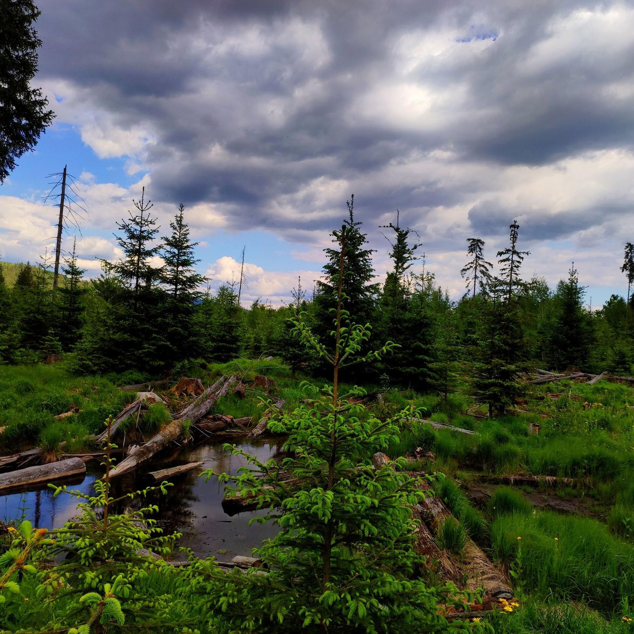
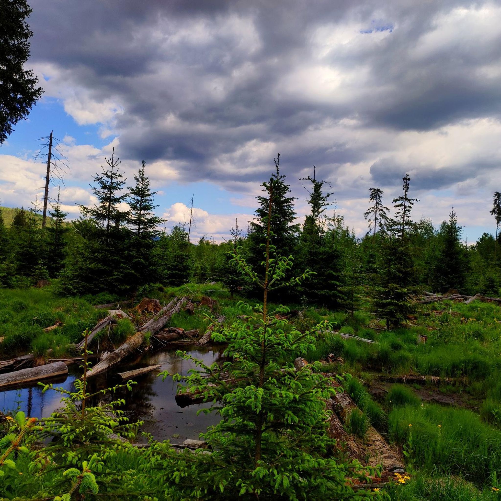
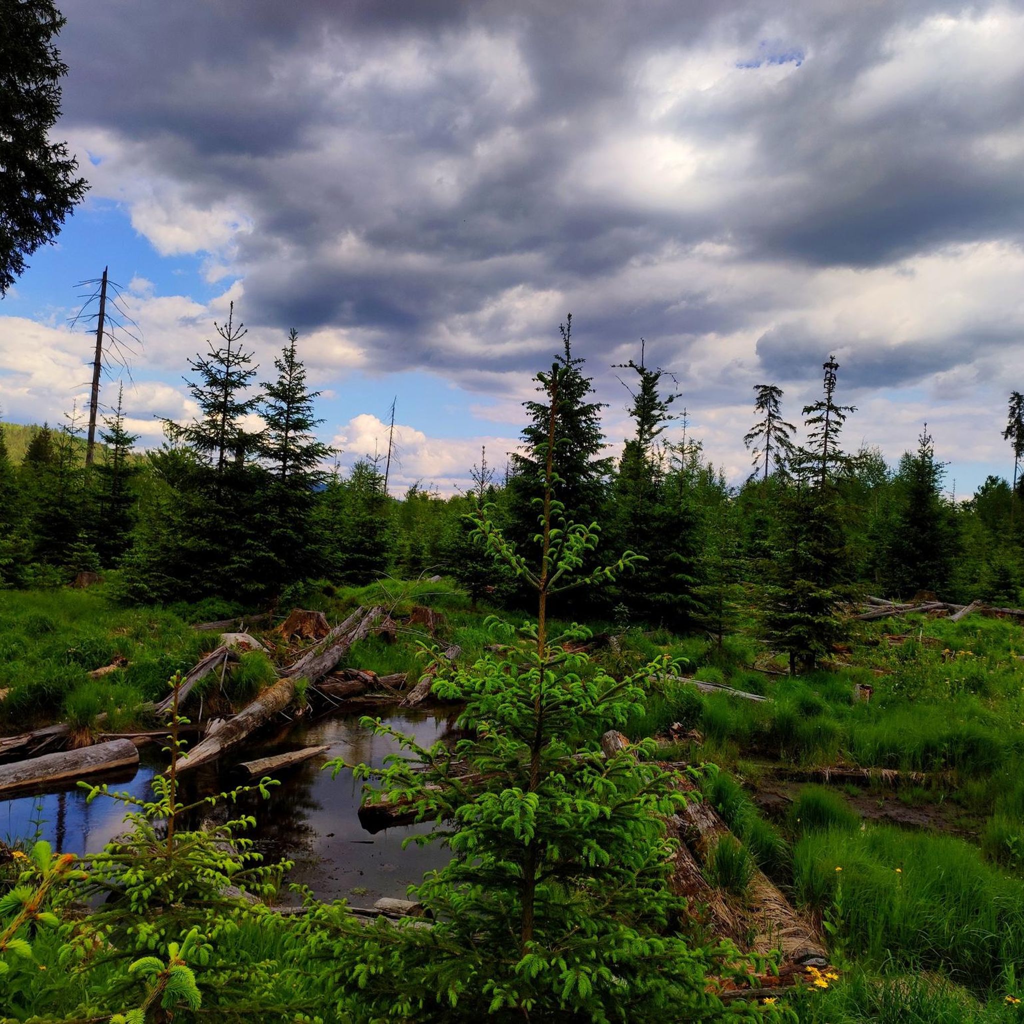
Safe shelter from rain in bad weather. Nice little pond (old Triftklause) in which the surrounding trees are reflected.
0
0

What a beautiful place... the hut is idyllically situated on a small lake, where lots of old wood creates a wonderful atmosphere
1
0

nice quiet place with shelter
1
0

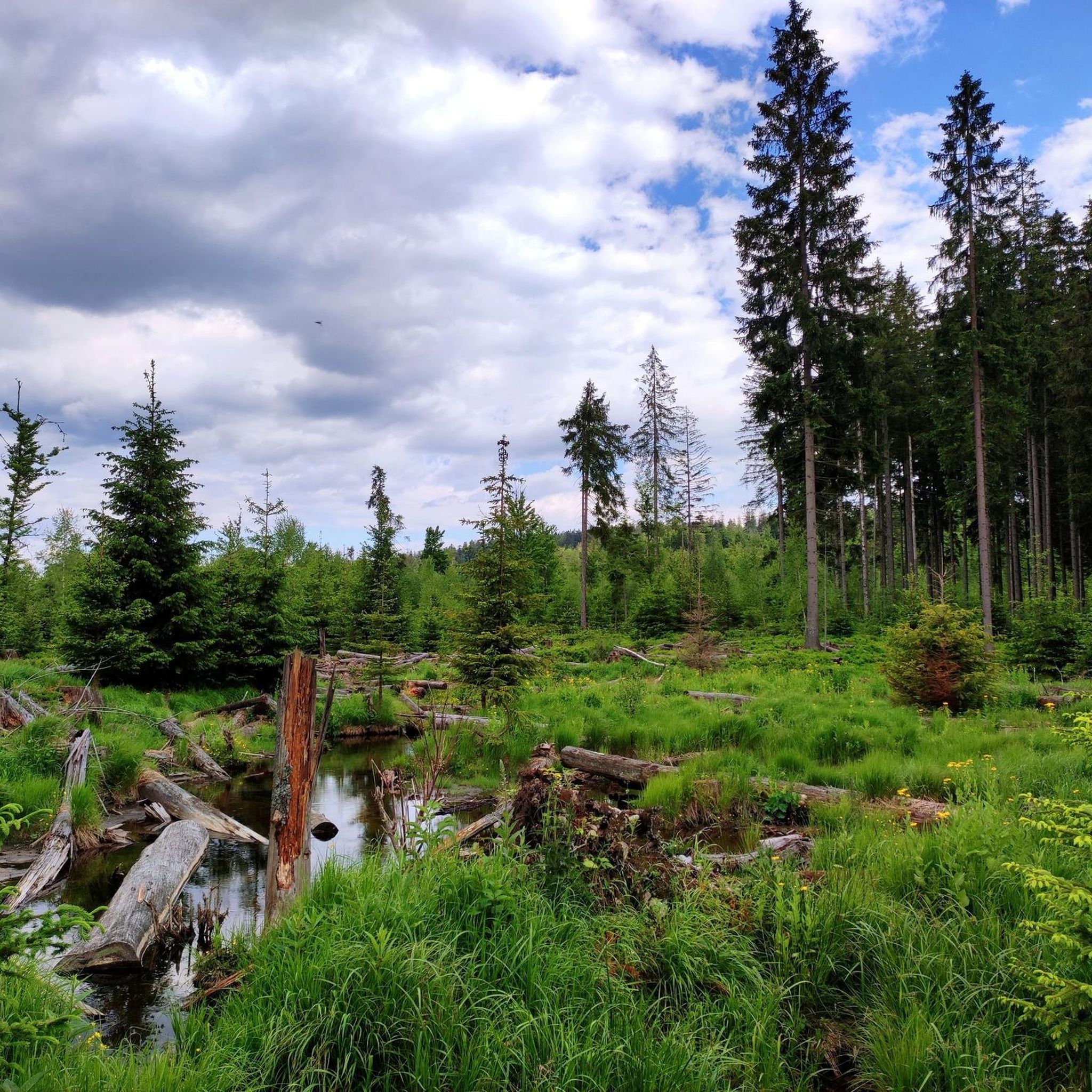
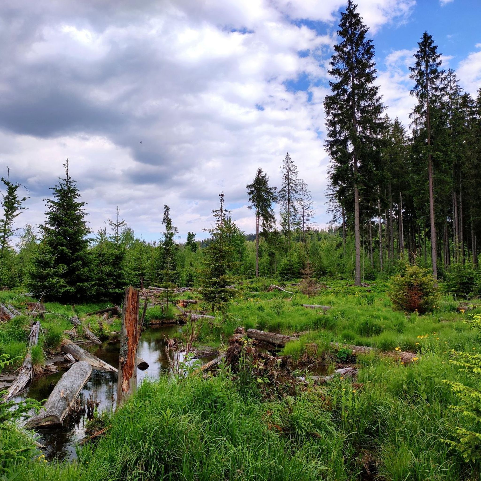
The path up the Steinbach valley, which begins near Mauth, is a real highlight that perhaps even surpasses the more famous nearby rock hiking area. Ever since humans left the area to its own devices, beavers have built numerous "barrages" with their dams, turning the area around the Steinbach into a wetland in many places. The path therefore had to be moved a little in some places or put on wooden planks, has some muddy places and is therefore very varied. The Steinbachtal thus clearly shows the success associated with the establishment of the national park in returning this area to nature.
0
0

The road has a perfect surface. There are always opportunities to linger by the water. There is a toilet. Unfortunately, it is a constant, slightly uphill climb.
0
0
Frequently Asked Questions
What unique natural features can I expect to see in Wildschutzgebiet Riedlhäng?
Wildschutzgebiet Riedlhäng is characterized by its diverse natural landscape, including wetlands, dense forests, and flowing mountain streams. A prominent feature is the Steinbachtal Wetlands and Beaver Dams, where you can observe active beaver dams and the dynamic interaction between wildlife and the environment. The region embraces a "let nature be nature" philosophy, allowing natural processes to shape the landscape.
Are there any family-friendly natural monuments or activities in the area?
Yes, the Steinbachklause Pond and Shelter is considered family-friendly and offers a romantic lake setting with a refuge, perfect for a rest stop. The area around the Steinbachklause is accessible seasonally, from April 1st to November 30th, to protect red deer.
What is the best time of year to visit the natural monuments in Wildschutzgebiet Riedlhäng?
Many of the natural monuments, such as the Steinbachtal Wetlands and Beaver Dams and the Steinbachklause Pond and Shelter, are accessible seasonally from April 1st to November 30th. This period generally offers the best conditions for exploring, with warmer weather and full access to these wildlife-sensitive areas.
Can I go cycling near the natural monuments?
Absolutely. The Cycle Path Through Bayerischer Wald National Park offers a route with a perfect surface, providing opportunities to linger by the water. While it has a slight uphill climb, it's a great way to experience the natural beauty of the region on two wheels.
Are there hiking trails near the natural monuments in Wildschutzgebiet Riedlhäng?
Yes, the region offers numerous hiking opportunities. You can find a variety of trails, from easy to difficult, that allow you to explore the natural beauty. For more detailed information on routes, including easy hikes and waterfall hikes, you can check out the guides for Hiking in Wildschutzgebiet Riedlhäng, Easy hikes in Wildschutzgebiet Riedlhäng, and Waterfall hikes in Wildschutzgebiet Riedlhäng.
What is the Großer Rachel and how can I visit it?
The Großer Rachel, at 1,453 meters, is the highest mountain in the Bavarian Forest National Park and a prominent natural monument in the broader region. It offers breathtaking panoramic views across the Bavarian and Bohemian Forests, and on clear days, even the Alps. You can witness natural forest regeneration here. Various hiking routes lead to the summit, with starting points like the Gfäll car park. You can learn more about it on Wikipedia.
What is the significance of the Former sand pit in the Reschwasser Valley?
The Former sand pit in the Reschwasser Valley is a geological demonstration site within the Bavarian Forest National Park. It largely consists of weathered granite with sack-like gneiss inclusions. While now mostly overgrown, it still offers a glimpse into the region's geological history, showcasing how more solid granite parts weather out from decomposed crystalline grit.
Are there any unique natural phenomena related to forest regeneration in the area?
Yes, the region is a prime example of natural regeneration. The Großer Rachel summit area, for instance, was significantly impacted by a bark beetle infestation in 1995. Instead of intervention, nature was allowed to regenerate, leading to the return of mixed forest. Similarly, the Höhenweg in the bordering Šumava region features a striking landscape of thousands of dead trees, showcasing a forest in a state of natural decay and regeneration.
What kind of wildlife can be observed in Wildschutzgebiet Riedlhäng?
The wetlands and dense forests of Wildschutzgebiet Riedlhäng provide habitat for diverse wildlife. The presence of active beaver dams in the Steinbachtal Wetlands and Beaver Dams indicates a thriving ecosystem influenced by these industrious animals. The area is also a wildlife sanctuary, with seasonal closures in place to protect red deer.
What makes the Steinbachtal Wetlands and Beaver Dams a special place to visit?
The Steinbachtal Wetlands and Beaver Dams are special because they offer a unique opportunity to witness the dynamic interaction between wildlife and the environment. Beavers have significantly shaped the landscape, creating varied water levels and habitats. Visitors often note how the path changes due to beaver activity, highlighting nature's constant evolution. It's a testament to the region's commitment to allowing nature to thrive.
Most popular routes in Wildschutzgebiet Riedlhäng
Most popular attractions in Wildschutzgebiet Riedlhäng

Get inspired with the komoot mobile app


Explore more
Extend your search for the best caves by checking out these guides of the top ones in Wildschutzgebiet Riedlhäng:
