The best mountain hikes in Wildschutzgebiet Riedlhäng
4.8
(17)
153
hikers
21
hikes
Mountaineering in Wildschutzgebiet Riedlhäng offers a diverse landscape characterized by dense forests, river valleys, and notable summits. The region features varied terrain, from challenging ascents to more moderate forest paths. With 22 mountaineering routes available, including 6 moderate and 16 difficult options, the area caters to experienced mountaineers seeking elevation and wilderness.
Best mountaineering routes in Wildschutzgebiet Riedlhäng
- The most popular mountaineering route is Jägerstrassl Rest Area – Beautiful trail through the forest loop from Mauth, a 5.6 miles…
Last updated: May 25, 2026
3
hikers
Hard mountaineering route. Good fitness required. Sure-footedness, sturdy shoes and alpine experience required.
13
hikers
13.3km
04:27
520m
520m
Hard mountaineering route. Good fitness required. Sure-footedness, sturdy shoes and alpine experience required.

Sign up for free
4
hikers
14.9km
04:42
530m
530m
Moderate mountaineering route. Good fitness required. Mostly accessible paths. Sure-footedness required.
4
hikers
4.22km
01:23
160m
160m
Hard mountaineering route. Great for any fitness level. Sure-footedness, sturdy shoes and alpine experience required.
10
hikers
10.5km
03:10
310m
310m
Moderate mountaineering route. Good fitness required. Mostly accessible paths. Sure-footedness required.
Get access to more routes and recommendations from other explorers.
Sign up for free
Already have an account?
Our route recommendations are based on thousands of hikes, rides, and runs completed by other people on komoot.
Start today with a free account
Your next adventure awaits.
Login or Signup
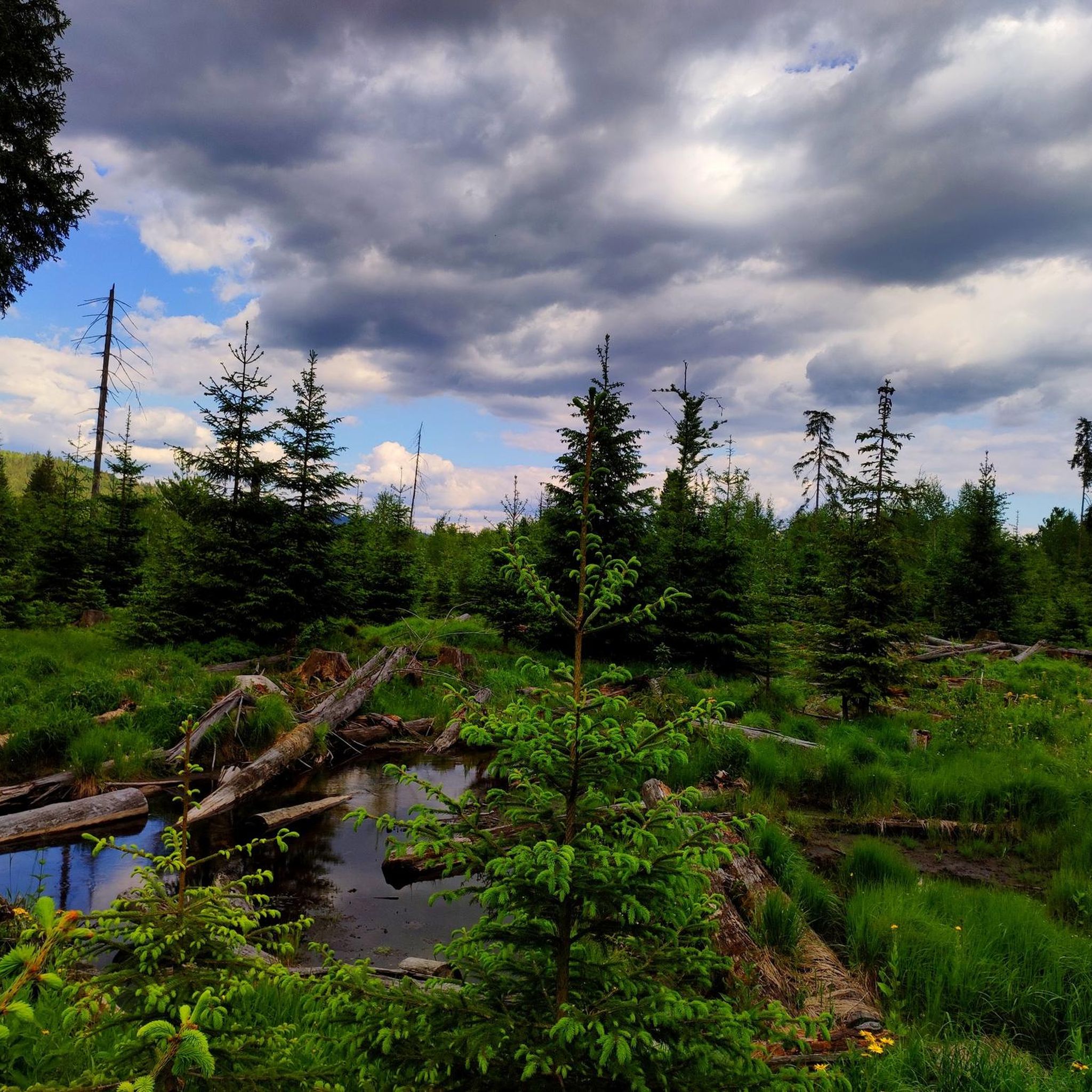
Tips from the Community

beautiful path! If there is more water, it will surely be even more beautiful
0
0

Accessible wooden footbridge
0
0
Just enjoy the view here
0
0
beautiful nature in the Bavarian Forest
0
0
These stones mark the boundary
0
0
beautiful nature in the Bavarian Forest
0
0
The bank is a good place to take a short break 😉
0
0
It's always lovely here.
0
0
Frequently Asked Questions
Are there any less challenging mountaineering routes in Wildschutzgebiet Riedlhäng?
While Wildschutzgebiet Riedlhäng is known for its more demanding terrain, there are 6 moderate mountaineering routes available. One such option is the Lovely forest trail along the Reschbach – Reschbach Hiking Trail loop from Mauther Forst, which covers 9.3 miles (14.9 km) and takes about 4 hours 42 minutes. Another moderate route is the Siebensteinkopf – Reschbachklause loop from Mauther Forst, a 6.5-mile (10.5 km) path.
What is the typical duration for mountaineering routes in Wildschutzgebiet Riedlhäng?
Route durations vary depending on distance and elevation. For example, the Jägerstrassl Rest Area – Beautiful trail through the forest loop from Mauth is a difficult 5.6-mile (9.0 km) route that typically takes around 2 hours 54 minutes. Longer, more challenging routes like the Lusen Summit – Lusen Shelter loop from Mauther Forst, at 8.3 miles (13.3 km), can take approximately 4 hours 27 minutes.
Are there any circular mountaineering routes in Wildschutzgebiet Riedlhäng?
Yes, many of the mountaineering routes in Wildschutzgebiet Riedlhäng are designed as loops, offering a varied experience without retracing your steps. Examples include the Jägerstrassl Rest Area – Beautiful trail through the forest loop from Mauth and the Great Kanzel Summit – Little Pulpit loop from Felswandergebiet.
What kind of views or landmarks can I expect along the mountaineering routes?
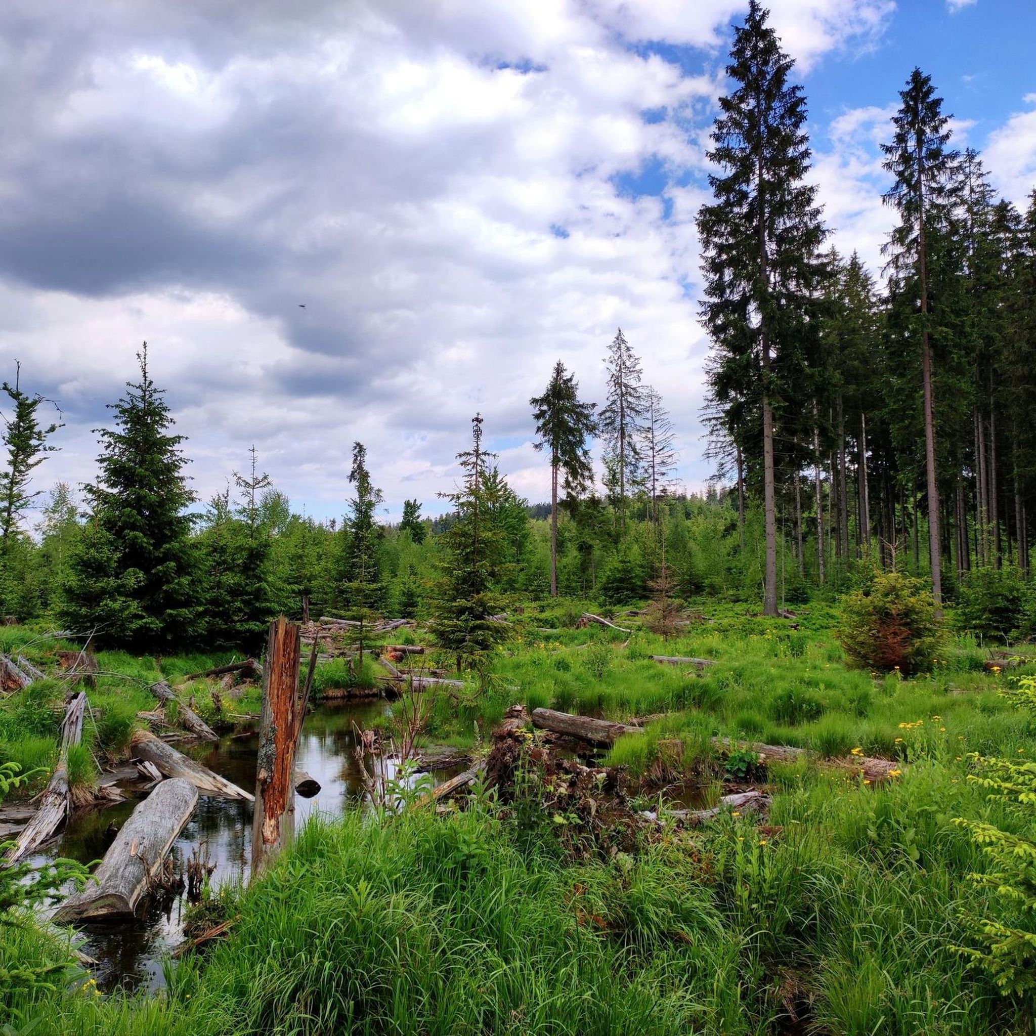
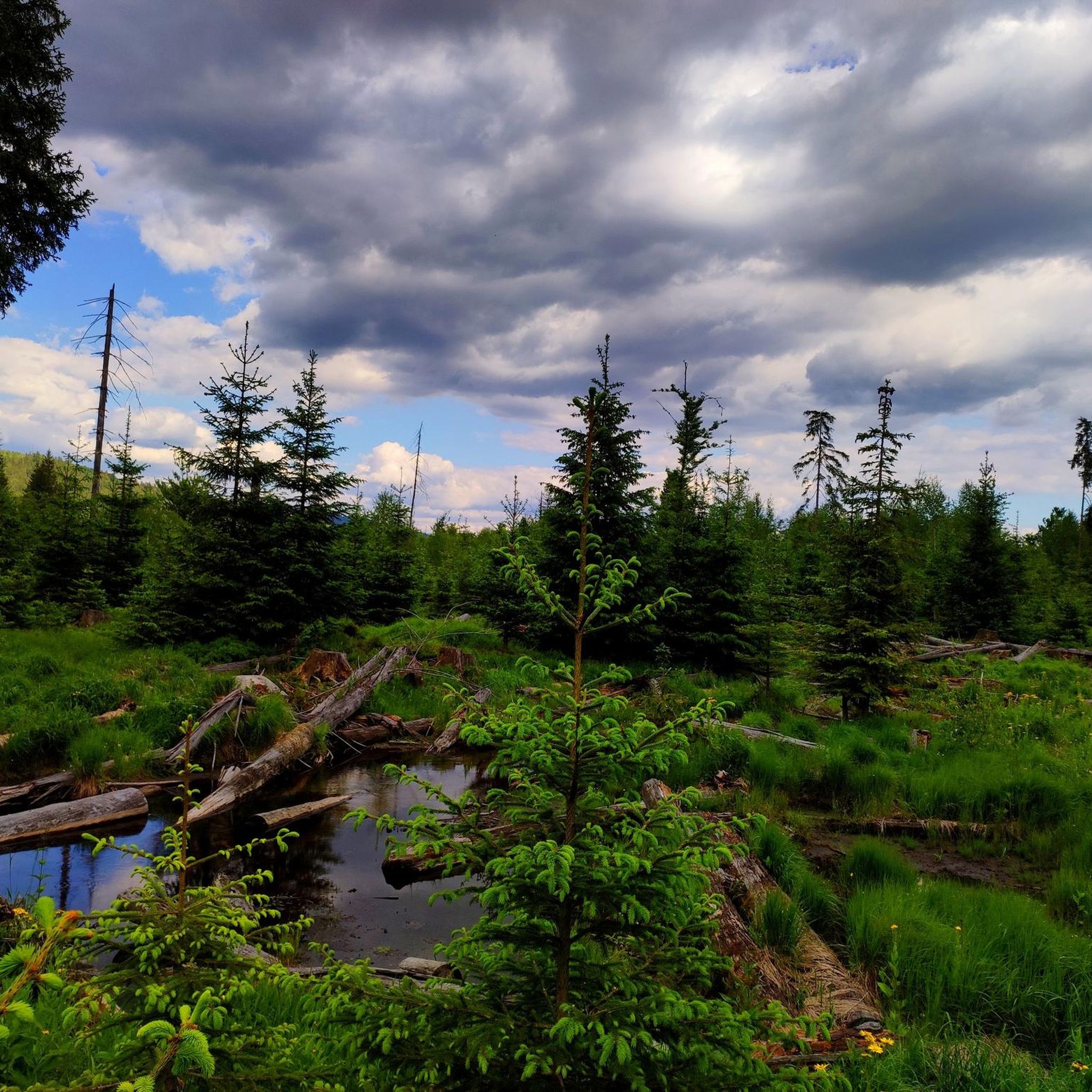
The routes often lead through dense forests and river valleys, with some offering panoramic views from summits. You might encounter natural features like the Steinbachklause Pond and Shelter or the Steinbachtal Wetlands and Beaver Dams. The Lusen Summit – Lusen Shelter loop from Mauther Forst, for instance, is known for its significant elevation gain and rewarding vistas.
What do other mountaineers enjoy most about Wildschutzgebiet Riedlhäng?
The area is highly rated by the komoot community, with an average score of 4.8 stars from over 20 reviews. Mountaineers often praise the diverse landscape, which includes dense forests and challenging summit ascents, as well as the well-maintained trails that provide a true wilderness experience.
Is Wildschutzgebiet Riedlhäng suitable for beginner mountaineers?
Wildschutzgebiet Riedlhäng primarily offers more demanding routes, with 16 out of 22 routes classified as difficult. However, there are 6 moderate options that could be suitable for beginners with some prior hiking experience and good physical condition. Always check the route details, including elevation gain and distance, before setting out.
Are there any specific viewpoints worth seeking out?
For impressive views, consider routes that ascend to higher elevations. The Lusen Summit – Lusen Shelter loop from Mauther Forst is a popular choice, offering panoramic views from Lusen Summit. The Great Kanzel Summit – Little Pulpit loop from Felswandergebiet also provides elevated perspectives.
What is the best time of year for mountaineering in Wildschutzgebiet Riedlhäng?
The best time for mountaineering in Wildschutzgebiet Riedlhäng is typically from late spring through early autumn (May to October) when the weather is most stable and trails are clear of snow. During these months, you'll experience lush forests and comfortable temperatures. Always check local weather forecasts before your trip.
Are the mountaineering routes in Wildschutzgebiet Riedlhäng dog-friendly?
Many trails in Wildschutzgebiet Riedlhäng are generally dog-friendly, but it's always advisable to keep your dog on a leash, especially in a wildlife protection area. Be mindful of the difficulty of the routes; some challenging ascents might not be suitable for all dogs. Always carry enough water for both yourself and your pet.
How many mountaineering routes are available in Wildschutzgebiet Riedlhäng?
There are 22 mountaineering routes available in Wildschutzgebiet Riedlhäng. These include 6 moderate and 16 difficult options, catering to a range of experience levels with a focus on more demanding trails.
Are there any facilities or rest areas along the trails?
While specific facilities vary by route, you may find designated rest areas. For instance, the Sandriegel Rest Area is one such spot. It's always recommended to carry sufficient supplies, as amenities might be sparse on more remote sections.
Most popular routes in Wildschutzgebiet Riedlhäng
Most popular attractions in Wildschutzgebiet Riedlhäng

Get inspired with the komoot mobile app


Explore more
Browse the best Mountain Hikes & Routes in other regions.
