Top 20 Natural Monuments around Grayrigg
Best natural monuments around Grayrigg are situated within Cumbria, now part of the extended Lake District National Park. This region offers access to diverse natural features, including impressive waterfalls, panoramic fells, and distinctive geological formations. The landscape showcases the rugged beauty of the English countryside, providing varied opportunities for exploration.
Best natural monuments around Grayrigg
- The most popular natural monuments is Calders Summit, a summit that offers extensive views across the Howgills. Many consider this area ideal for practicing…
Last updated: July 28, 2026
The Mushroom on Scout Scar
Highlight • Summit
Tip by

Cautley Spout Waterfall
Highlight • Viewpoint
Tip by

Sign up now to discover places like this
Get recommendations on the best single tracks, peaks, & plenty of other exciting outdoor places.
Sign up for free
Calders Summit
Highlight • Viewpoint
Tip by

The Helm Trig Point
Highlight • Natural Monument
Tip by
Cunswick Scar summit cairn
Highlight • Natural Monument
Tip by
Sign up for free to discover even more natural monuments around Grayrigg.
Sign up for free
Already have an account?
Start today with a free account
Your next adventure awaits.
Login or Signup

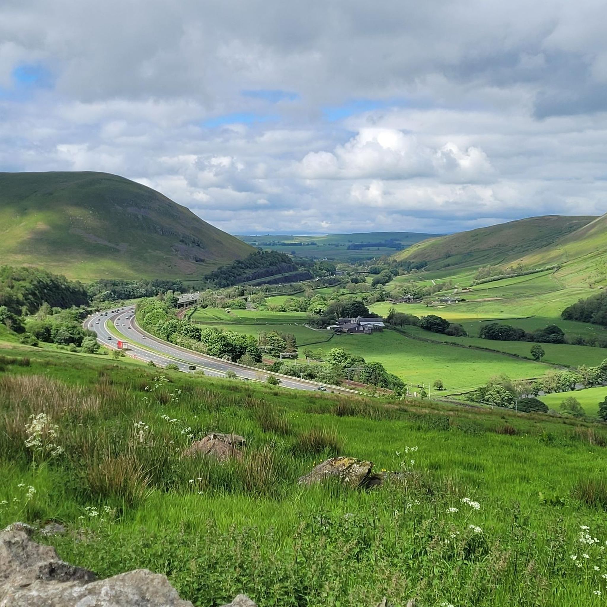
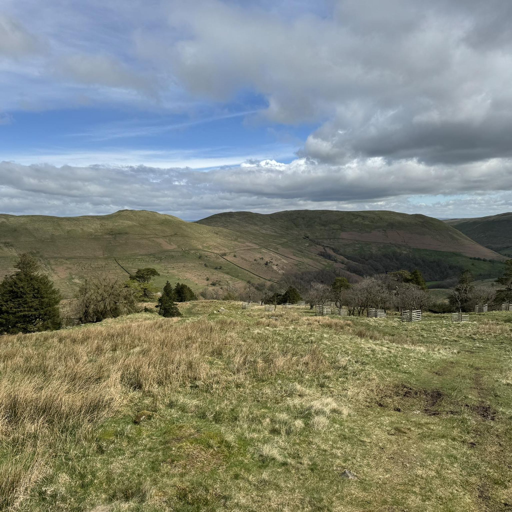
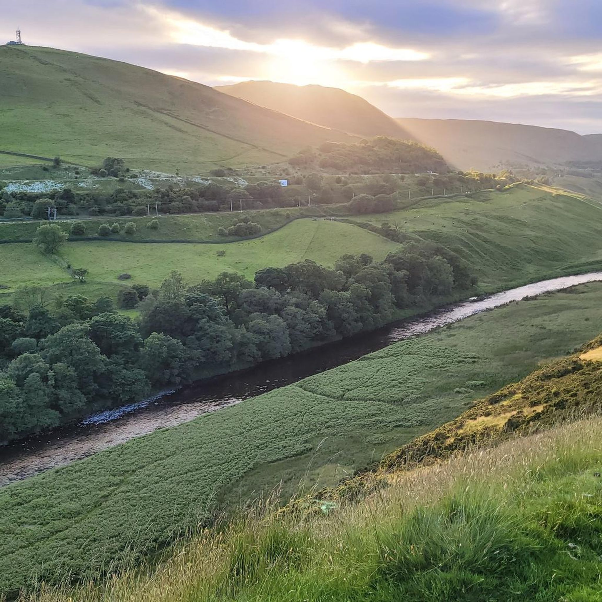
Tips from the Community

You can see Cautley Spout as soon as you start heading up the valley. Steep ascent to get above it but you can enjoy it from the bottom.
0
0


The Helm 185m P55 (607ft) [Tump 1] (DoBIH Hill ID: 16219) [JNSA 19230] County of Westmorland Definitive List summit. County of Westmorland Trig Pillar.
0
0

Easy walk if you from the Station Inn but a lot steeper coming the other way. Great views over Kendal and out into Morecambe Bay .
0
0


Beautiful spot to run to with a rewarding view from the top.
0
0
Cunswick Scar is a great little hill with some fab views over Kendal and the South Lakes. Marked with a huge cairn. Great access from her to Scout Scar and lots of loops for running / hiking.
0
0
Lovely hill over looking kendal. You can even stop at the station in. Lots of opportunities for hill reps
0
0
Frequently Asked Questions
What are some prominent natural features to explore around Grayrigg?
The area around Grayrigg, now part of the extended Lake District National Park, offers diverse natural features. You can visit Cautley Spout Waterfall, one of England's highest, cascading 650 feet down the fells. Another significant feature is Calders Summit, which offers extensive views across the Howgills, or the distinctive The Mushroom on Scout Scar, known for its panoramic views of the Lakeland skyline.
Are there any family-friendly natural monuments in the Grayrigg area?
Yes, several natural monuments around Grayrigg are suitable for families. The Mushroom on Scout Scar is listed as family-friendly and offers accessible walks with rewarding views. The walk to the base of Cautley Spout Waterfall is also manageable for families, though the climb alongside the cascade is steep and better suited for experienced walkers.
Where can I find easy walks among the natural monuments near Grayrigg?
For easier walks, consider exploring The Mushroom on Scout Scar and Cunswick Scar summit cairn. These fells, close to Kendal, offer accessible paths and Wainwright described the walk over them as 'a pleasure every step of the way'. The Helm also provides a rewarding shorter walk with extensive views, despite its modest height.
What kind of historical significance do these natural monuments hold?
Some natural monuments in the Grayrigg area have historical significance. The Helm Trig Point, for instance, is not only a natural monument but also the site of an Iron Age hillfort. Grayrigg Forest, a prominent hill, also holds geographical and historical context as part of the Lake District National Park's boundary extension.
Can I bring my dog to the natural monuments around Grayrigg?
Many natural monuments in the area are dog-friendly, especially those with open fellside access. The Mushroom on Scout Scar is specifically categorized as dog-friendly. Always ensure dogs are kept under control, especially around livestock, and follow the Countryside Code.
What are the best times of year to visit the natural monuments near Grayrigg?
The natural monuments around Grayrigg are beautiful year-round. Spring and summer offer lush greenery and warmer weather, ideal for longer hikes. Autumn brings vibrant colors to the landscape. Winter can be dramatic, especially at Cautley Spout Waterfall, but requires appropriate gear for potentially challenging conditions on higher fells like The Calf or Calders Summit.
Are there opportunities for wildlife spotting near Grayrigg's natural monuments?
Yes, the natural landscapes around Grayrigg offer opportunities for wildlife spotting. For example, The Helm Trig Point is known for its resident native ponies. The fells and valleys are home to various bird species and other local wildlife, particularly in less crowded areas like Grayrigg Forest.
What geological features are notable in the Grayrigg area?
The Grayrigg area is characterized by its rugged fells and dramatic water features. Cautley Spout Waterfall is a prime example of a significant geological feature, showcasing the power of water eroding the fells. The distinctive flat-topped hills like The Calf and The Helm, along with the unique rock formation of The Mushroom on Scout Scar, also highlight the region's varied geology.
What outdoor activities, like hiking or cycling, can I do near these natural monuments?
The natural monuments around Grayrigg are excellent starting points for various outdoor activities. You can find numerous hiking trails, including difficult routes like the Fell Head, The Calf and Whin's End loop. For cycling, options range from moderate to difficult, such as the Heart-Shaped Wood, Lune Valley – Borrowdale Valley Trail loop. Explore more options in the Hiking around Grayrigg or Cycling around Grayrigg guides.
Are there any less-known or 'hidden gem' natural monuments worth visiting?
While not entirely hidden, Grayrigg Forest offers a less crowded hiking experience compared to some of the more popular Lake District spots. It provides impressive views down into the Lune valley gorge and is valued for its quiet trails and significant geographical context, especially after the Lake District National Park boundary extension.
What do other visitors particularly enjoy about the natural monuments around Grayrigg?
Visitors frequently praise the breathtaking panoramic views from summits like Calders Summit and The Mushroom on Scout Scar. The dramatic scale of Cautley Spout Waterfall and the immersive experience of the walk to it are also highly appreciated. Many enjoy the rewarding challenge of the hikes and the sense of tranquility found in these natural settings.
Are there any circular walks among the natural monuments around Grayrigg?
Yes, there are opportunities for circular walks. For example, the walk over Cunswick Scar summit cairn and neighboring Scout Scar can be combined into an extended loop. The ascent to The Calf Summit often involves a circular route passing Cautley Spout Waterfall, offering a comprehensive experience of the area.
What should I bring for a walk to the natural monuments around Grayrigg?
When visiting the natural monuments around Grayrigg, it's advisable to bring appropriate footwear for varied terrain, waterproof clothing, and layers as the weather can change quickly. For longer hikes, carry sufficient water and snacks. A map and compass or a GPS device are recommended, especially for featureless areas like parts of the Howgills, and don't forget your camera for the stunning views.
Most popular attractions around Grayrigg

Get inspired with the komoot mobile app


Explore more
Extend your search for the best caves by checking out these guides of the top ones around Grayrigg:
