The best road cycling routes around Grayrigg
4.7
(150)
7,255
riders
297
rides
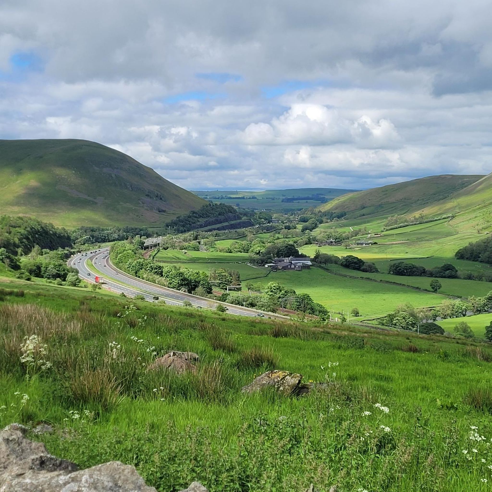
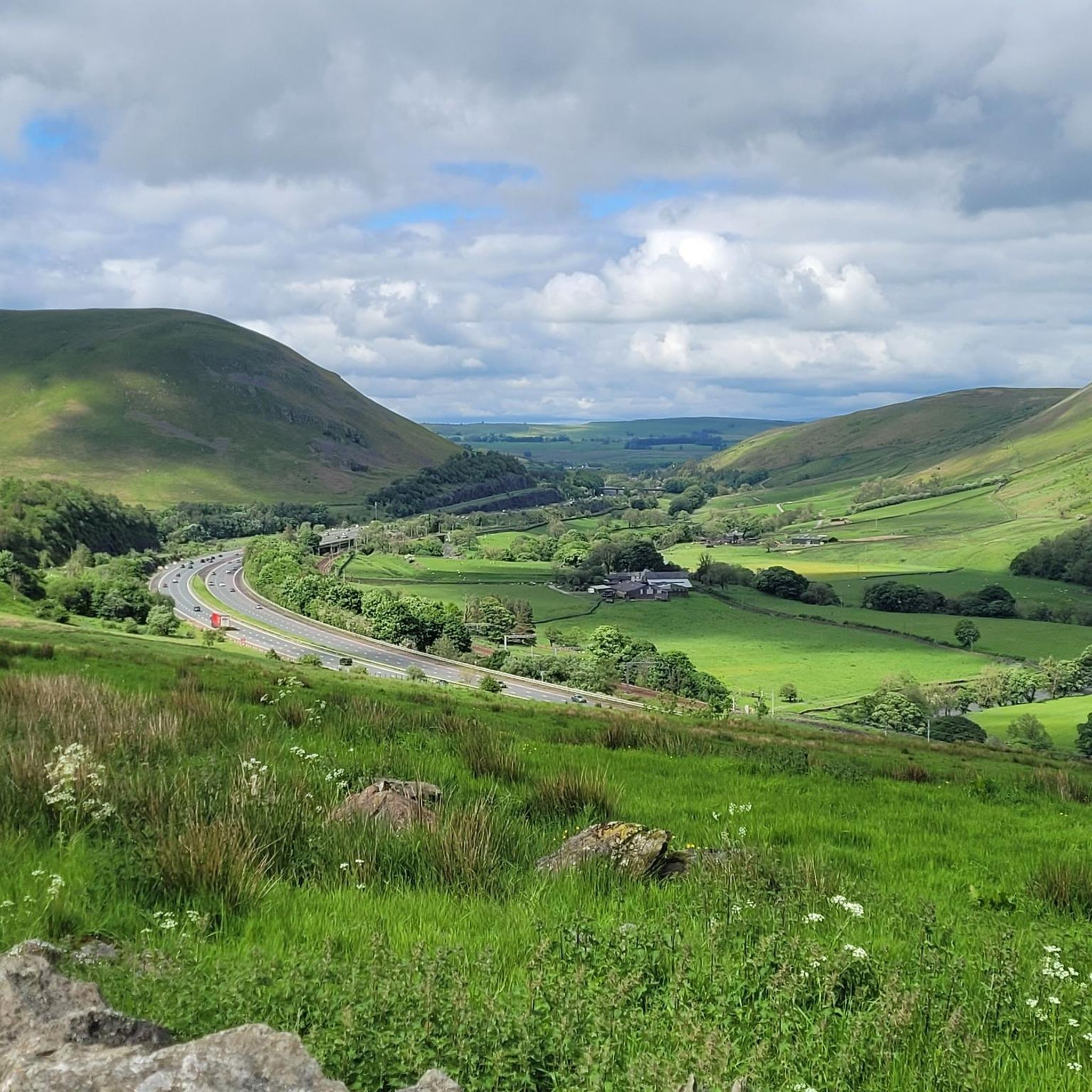
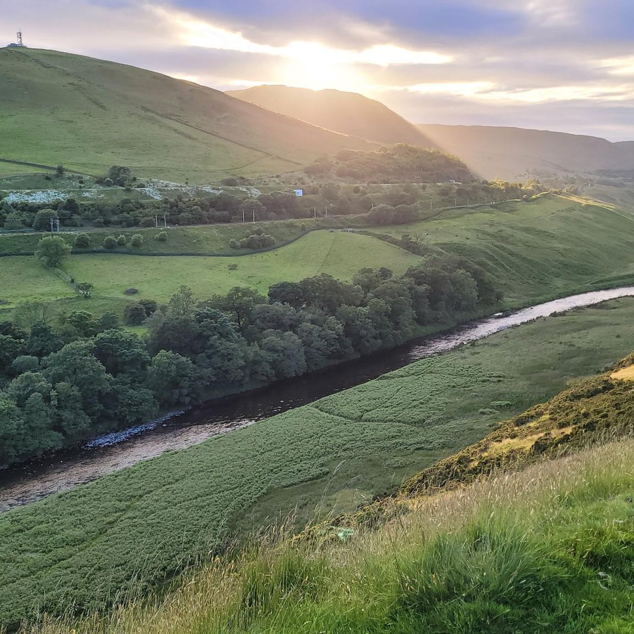
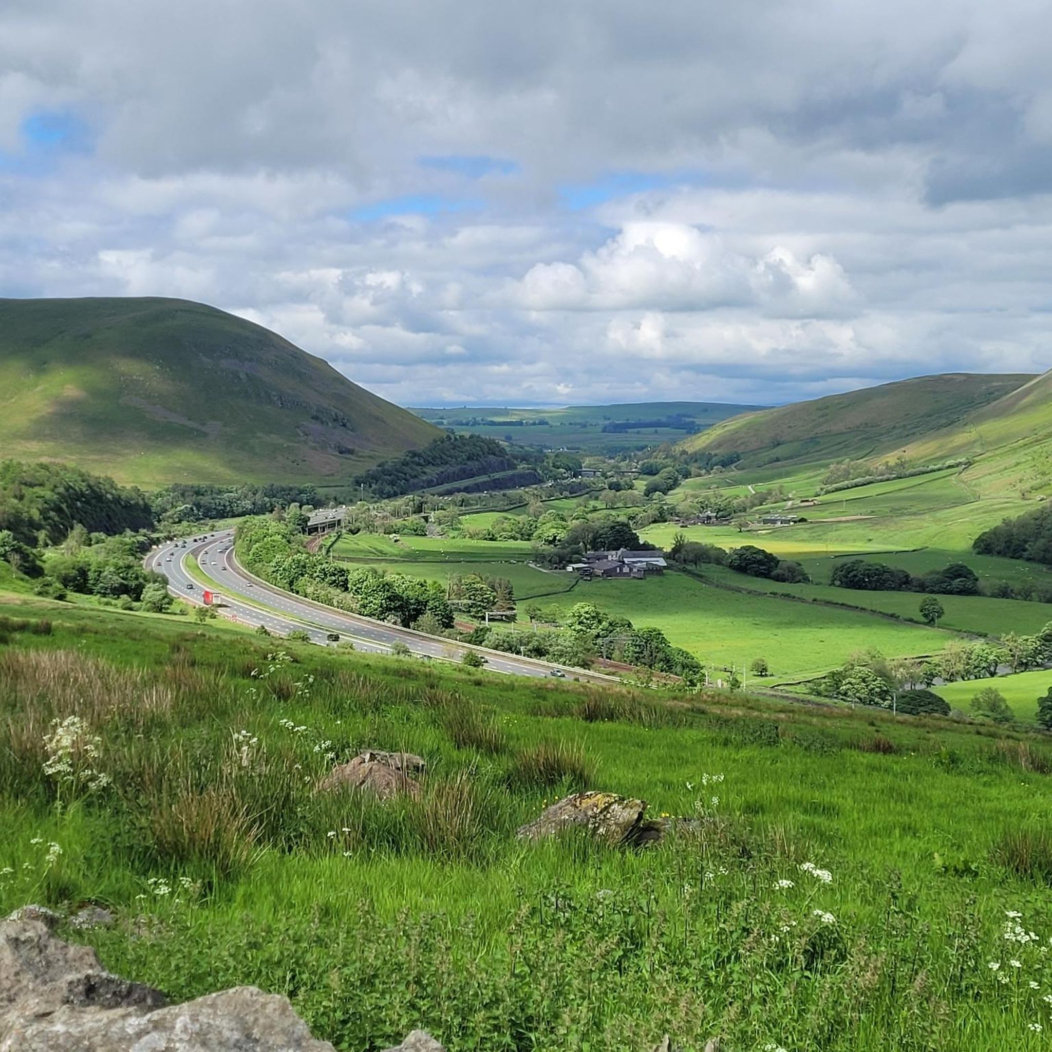
Road cycling routes around Grayrigg are situated on the eastern edge of the Lake District National Park, offering access to varied terrain. The region features quiet country lanes, rolling hills, and the prominent Lune Valley. Grayrigg Forest, an open hill reaching approximately 494 meters, provides higher elevation points and expansive views. Most routes consist of paved surfaces, suitable for road cyclists.
Best road cycling routes around Grayrigg
- The most popular road cycling route is View of Sunbiggin Tarn – Appleby-in-Westmorland loop from Tebay, a 61.1 miles (98.4 km) trail that takes about 5 hours to complete. This difficult route offers views of Sunbiggin Tarn and extends towards Appleby-in-Westmorland.
- Another top favourite among local road cyclists is Quiet Back Lanes to Staveley – Stone Bridge Near Staveley loop from Muddy Brow, a moderate 21.2 miles (34.1 km) path. This route navigates quiet back lanes and features a stone bridge near Staveley.
- Local road cyclists also love the View of Sunbiggin Tarn – Sunbiggin Tarn loop from Tebay, a 16.0 miles (25.8 km) trail leading through the area around Sunbiggin Tarn, often completed in about 1 hour 13 minutes.
- Road cycling around Grayrigg is defined by quiet country lanes, rolling hills, and the scenic Lune Valley. The network offers options for various ability levels, from easy to difficult.
- The routes in Grayrigg are highly rated by the komoot community with an average score of 4.7 stars from over 100 reviews. More than 7,000 road cyclists have used komoot to explore Grayrigg's varied terrain.
Last updated: October 22, 2026
5.0
(1)
85
riders
98.4km
04:59
1,130m
1,130m
Hard road ride. Very good fitness required. Mostly well-paved surfaces and easy to ride.
5.0
(1)
36
riders
Moderate road ride. Good fitness required. Mostly well-paved surfaces and easy to ride.

3.3
(3)
24
riders
25.8km
01:13
280m
280m
Easy road ride. Mostly well-paved surfaces and easy to ride.
22
riders
Easy road ride. Mostly well-paved surfaces and easy to ride.
17
riders
51.1km
02:36
810m
810m
Moderate road ride. Good fitness required. Mostly well-paved surfaces and easy to ride.
Get access to more routes and recommendations from other explorers.
Already have an account?
Our route recommendations are based on thousands of hikes, rides, and runs completed by other people on komoot.
Start today with a free account
Your next adventure awaits.

Tips from the Community

Great watering hole, does have food some evenings when various catering companies set up outside
0
0

Nice stop point for a photo. Lovely views of the castle and river. It is also a good back way of getting into Penrith, avoiding a lot of traffic.
1
0
This is a beautiful viaduct, I wish I had seen it on a better blue sky day, it would make a great photo stop. Very impressive.
0
0


Lots of little B-roads running off Natland Road taking you to some lovely interesting twisty climbs and trails!
1
0
Frequently Asked Questions
How many road cycling routes are available around Grayrigg?
There are over 300 road cycling routes around Grayrigg, offering a wide range of options for different skill levels. You'll find everything from easy spins to challenging climbs.
What kind of terrain and surface conditions can I expect for road cycling in Grayrigg?
The Grayrigg area is characterized by quiet country lanes and rolling hills, with most routes featuring paved surfaces. You'll encounter diverse landscapes, from the prominent Lune Valley to higher elevation points within Grayrigg Forest.
What natural features or viewpoints can I expect to see while cycling in Grayrigg?
Road cycling routes in Grayrigg offer expansive views of the Lune Valley and the surrounding fells. You can also encounter picturesque spots like Sunbiggin Tarn, or pass by the historic Borrow Beck Viaduct. Higher points in Grayrigg Forest provide panoramic vistas.
Are there any historical or cultural landmarks to explore near the cycling routes?
Yes, Grayrigg and its surroundings offer several points of interest. You might pass by the 12th-century St John's Church in Grayrigg village, or the impressive Borrow Beck Viaduct. For a glimpse into local rural life, Grayrigg Hall Farm is also nearby.
Are there routes suitable for beginners or those looking for an easier ride?
Absolutely. Grayrigg offers 57 easy road cycling routes. An example is the Paddy Lane Scenic Route – Joe's Café loop from Meal Bank, which is a 19.9 km (12.4 miles) route with moderate elevation gain, perfect for a more relaxed ride.
Are there challenging routes for experienced road cyclists?
Yes, for experienced cyclists seeking a challenge, there are 71 difficult routes available. The region's proximity to the Lake District National Park means you can access more demanding climbs and longer distances, such as the 98.4 km (61.1 miles) View of Sunbiggin Tarn – Appleby-in-Westmorland loop from Tebay, which features over 1,100 meters of elevation gain.
Is Grayrigg suitable for family-friendly road cycling?
Grayrigg offers routes that are suitable for families, particularly those looking for quieter country lanes and less challenging terrain. Many routes feature mostly paved surfaces, making them accessible for various skill levels, including those with children.
Are there circular road cycling routes available in Grayrigg?
Yes, many of the road cycling routes around Grayrigg are designed as scenic loops. For example, the Heart-Shaped Wood, Lune Valley – Lowgill Viaduct loop from Tebay offers a moderate 51.1 km (31.8 miles) circular ride through varied landscapes.
What are the parking options for cyclists in Grayrigg?
While specific dedicated cycling parking isn't detailed, Grayrigg is a village with local amenities. Cyclists often find parking in or near the village center or at designated starting points for routes, such as those outlined by the Kendal and District Cycle Scene which sometimes start from the Kendal Leisure Centre.
Can I access Grayrigg by public transport with my bike?
Public transport options to Grayrigg are limited, especially for carrying bikes. While the West Coast Main Line railway passes nearby, direct train services to Grayrigg are not available. It's advisable to check local bus services for their bike carriage policies, though these are often restricted.
What do other road cyclists say about their experience in Grayrigg?
The road cycling routes around Grayrigg are highly rated by the komoot community, with an average score of 4.7 stars from over 100 reviews. Over 7,000 road cyclists have explored the area, often praising the quiet country lanes, rolling hills, and scenic views of the Lune Valley and surrounding fells.
What is the best time of year for road cycling in Grayrigg?
The spring and summer months generally offer the most favorable conditions for road cycling in Grayrigg, with milder weather and longer daylight hours. However, the region's beauty can be enjoyed in autumn as well, with vibrant foliage. Always check local weather forecasts before heading out, as conditions can change rapidly in Cumbria.
Most popular attractions around Grayrigg

Get inspired with the komoot mobile app


Explore more
Browse the best Road cycling routes in other regions.
