The best walks and hikes around Lavamünd
4.6
(443)
3,285
hikers
37
hikes
Hiking around Lavamünd presents diverse terrain at the confluence of the Lavant and Drau rivers, nestled between Carinthia and Styria. The region features varied topography, including dense forests, river landscapes along the Drau, and the gentle ridges of the Pack- and Koralpe mountains. With elevations starting at 348 meters, the area provides a range of routes for different hiking experiences.
Best hiking trails around Lavamünd
- The most popular hiking route is Koralpe: Berni's Ofenerlebnisweg, an easy 1.6 miles (2.6…
Last updated: May 26, 2026
5.0
(1)
19
hikers
2.57km
00:43
50m
50m
Easy hike. Great for any fitness level. Easily-accessible paths. Suitable for all skill levels.
4.0
(12)
129
hikers
12.8km
03:51
420m
420m
Moderate hike. Good fitness required. Easily-accessible paths. Suitable for all skill levels.

Sign up for free
4.8
(5)
69
hikers
8.72km
02:44
370m
370m
Moderate hike. Good fitness required. Easily-accessible paths. Suitable for all skill levels.
4.6
(10)
78
hikers
7.16km
02:13
200m
200m
Moderate hike. Good fitness required. Mostly accessible paths. Sure-footedness required.
4.0
(10)
40
hikers
8.26km
02:20
180m
180m
Moderate hike. Good fitness required. Easily-accessible paths. Suitable for all skill levels.
Get access to more routes and recommendations from other explorers.
Sign up for free
Already have an account?
Our route recommendations are based on thousands of hikes, rides, and runs completed by other people on komoot.
Start today with a free account
Your next adventure awaits.
Login or Signup
Popular around Lavamünd
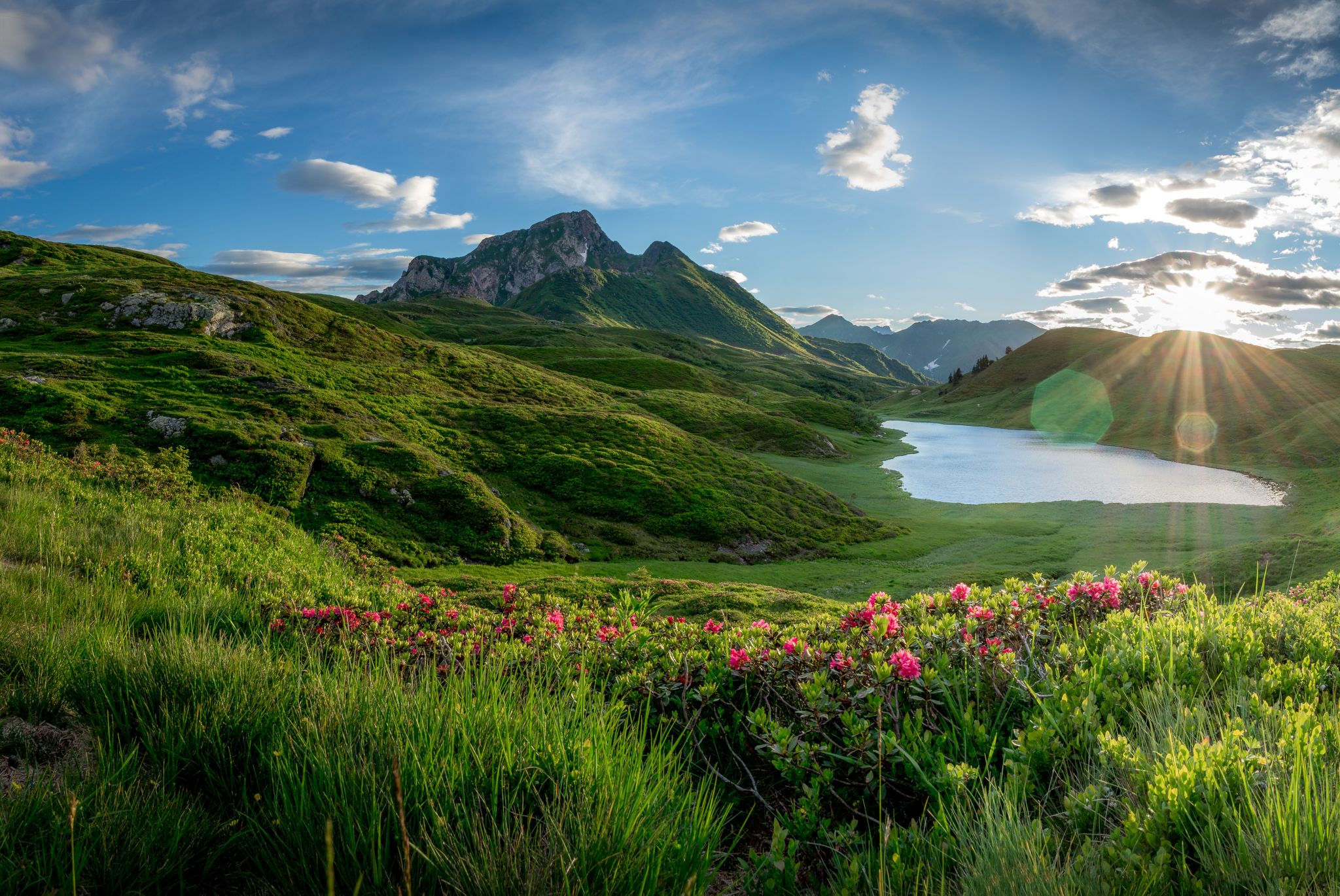
Southern Alpine Trail – Styrian vineyards and the Carnic Alps in Austria
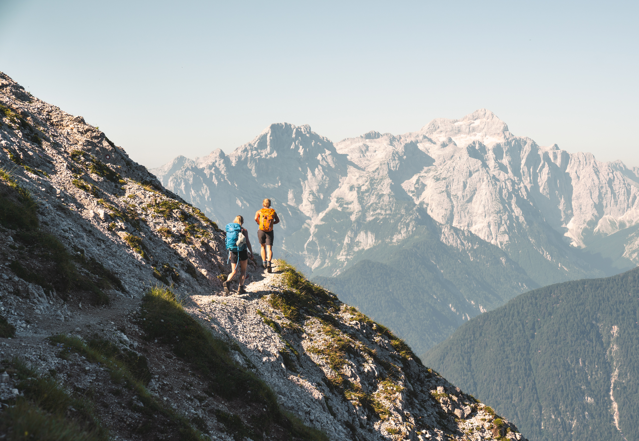
Sunny adventures on the Southern Alps Panorama Trail
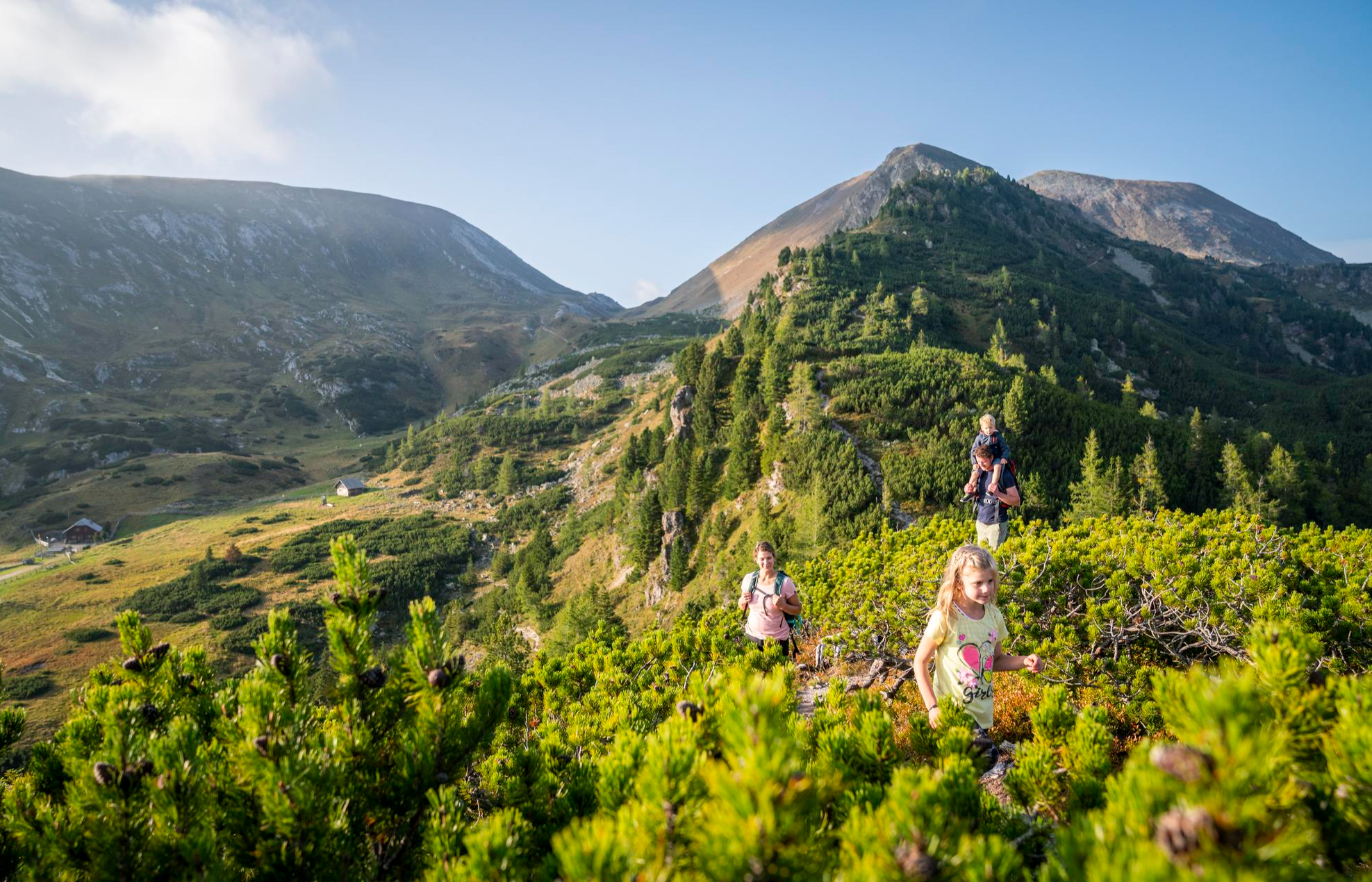
Joyous adventures experienced together – family hiking in Carinthia
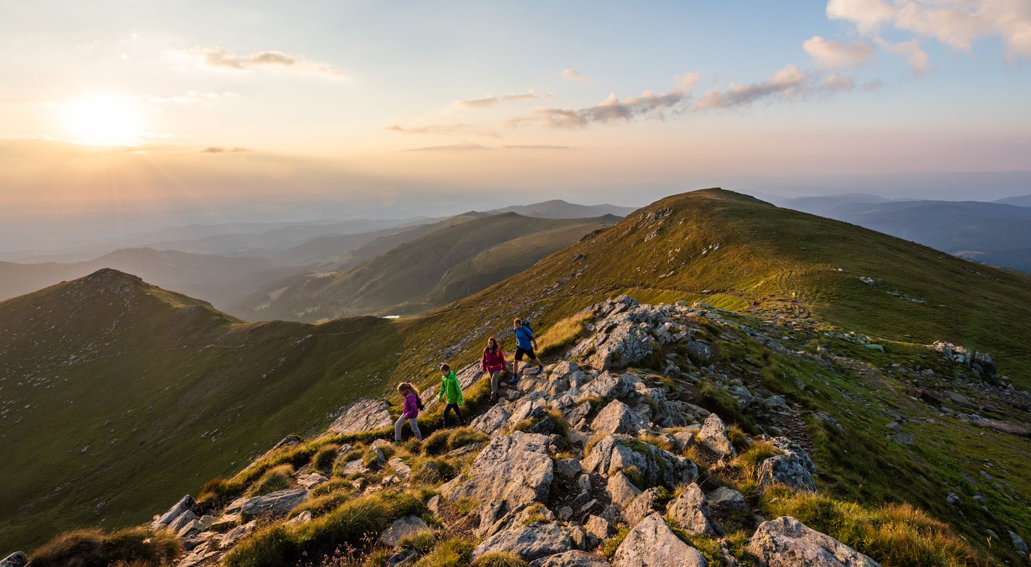
9 days of relaxation and wonder in Austria – Lavant Valley Trail
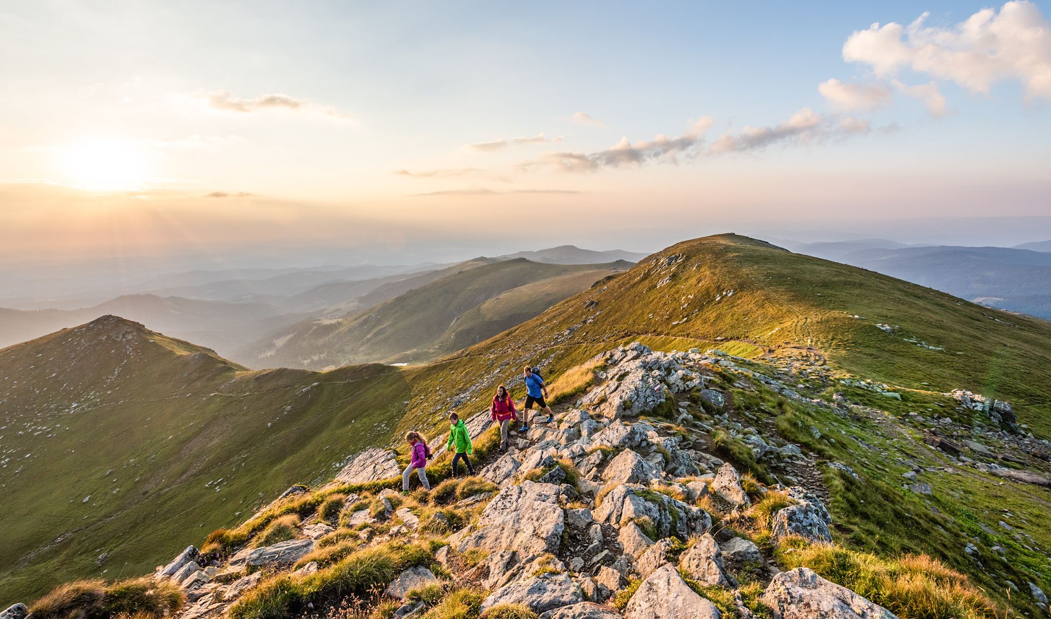
The Lavanttal — hiking on the sunny side of Carinthia
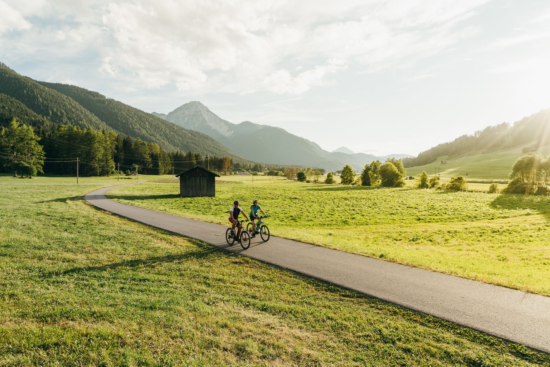
The River Drava Cycle Path – From the Dolomites to the vast landscapes of Pannonia
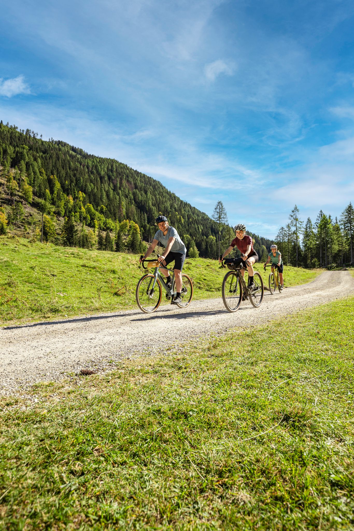
Lake Constance to Lake Neusiedl – explore Austria's federal states on gravel
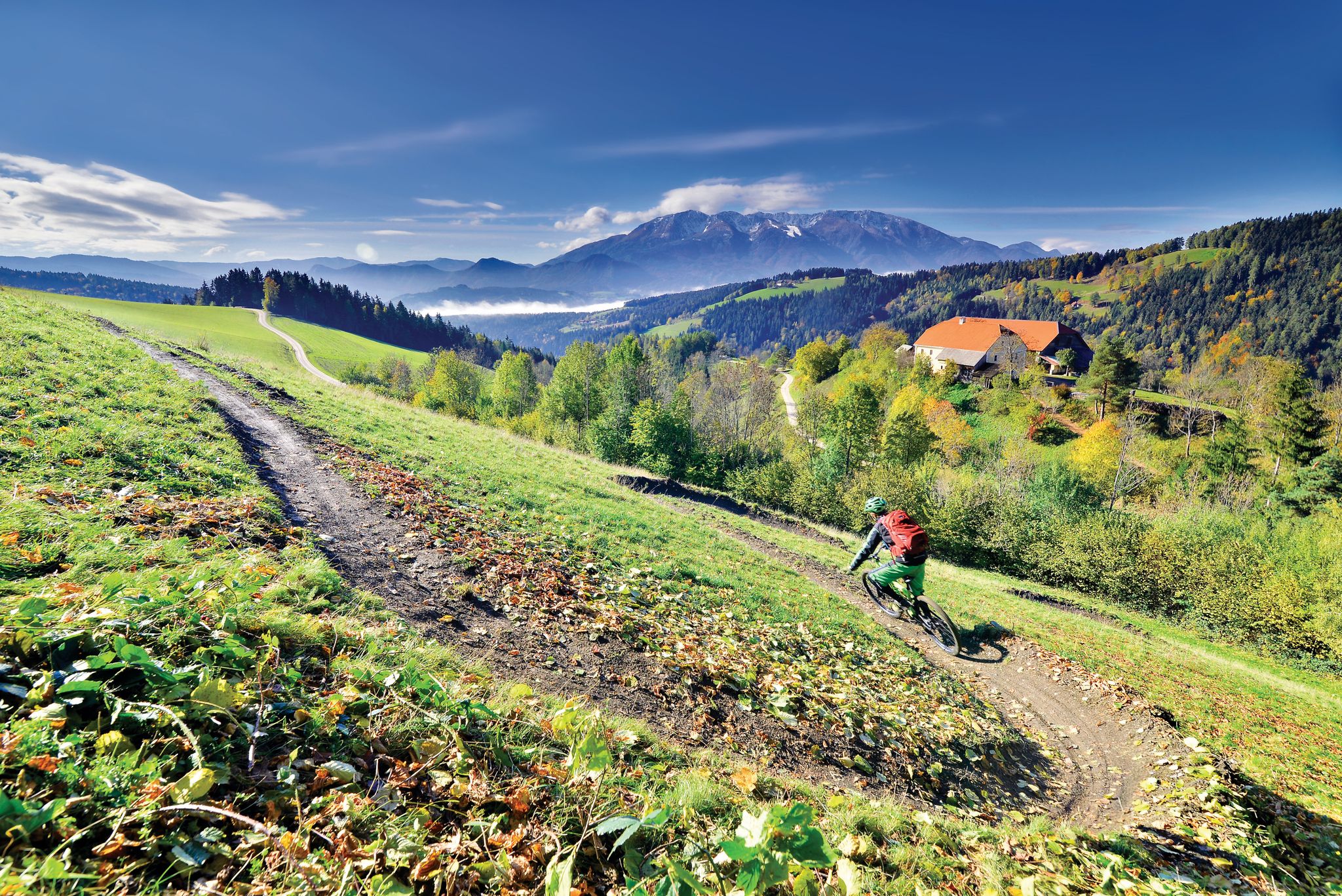
Deep below ground and close to the sky - mountain biking in Koroška
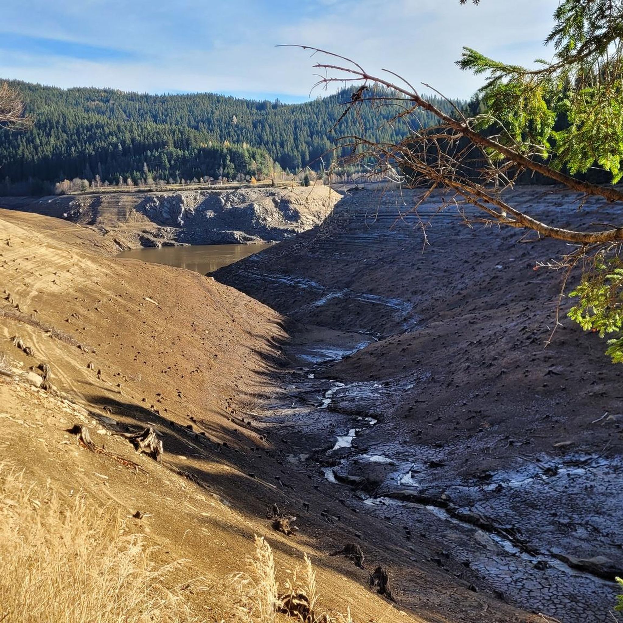
Cycling around Lavamünd
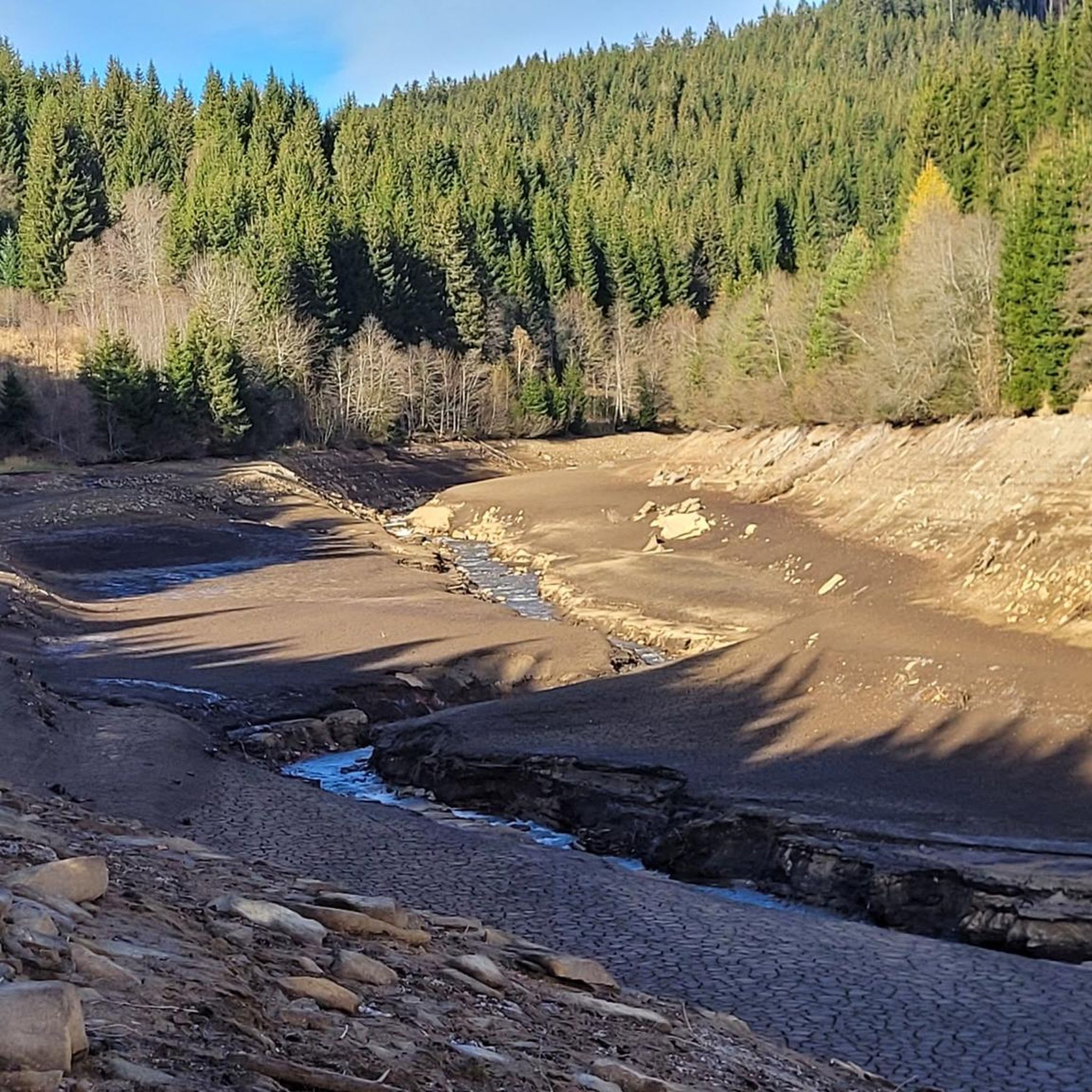
MTB Trails around Lavamünd
Other adventures around Lavamünd


Tips from the Community

Top viewpoint with - Austria Slovenia border
0
0

The branch church of the parish of St. Vincent in Ettendorf lies 1083 m above sea level on the southern foothills of the Koralpe mountain range, by the well-known Soboth reservoir. The town was once known and famous for its glass and mirror production.
1
0
Fresh powder snow, like in a fairytale forest
1
0


On Berni's Oven Adventure Trail, you and your family will be challenged with various puzzles. Alpine dwarf Berni Steiner, who lives on the Berensteiner Oven, is the quizmaster. A fun activity for the little hikers!
0
0
The viewing platform at Brandl offers a beautiful view of the Lavanttal Valley. It opened in 2019 and is easily accessible thanks to the well-maintained path.
0
0

A wonderful, friendly team led by Anneliese. Superb roast pork, tasty Carinthian cheese dumplings, and delicious fresh farmer's doughnuts. A few cozy tables in front of the hut. I highly recommend stopping by.
0
0

Closed at the end of October, but there are benches ready for you to bring your own snack.
0
0
Frequently Asked Questions
How many hiking trails are available around Lavamünd?
Based on komoot data, there are over 35 hiking routes in the Lavamünd area, catering to various skill levels. You'll find a diverse range of options, from easy riverside strolls to more challenging mountain paths.
What kind of difficulty levels can I expect on hiking trails in Lavamünd?
The trails around Lavamünd offer a good mix for all abilities. You'll find approximately 13 easy routes, 20 moderate routes, and 5 more challenging trails for experienced hikers, ensuring there's something for everyone.
When is the best time of year to go hiking in Lavamünd?
The best seasons for hiking in Lavamünd are spring and autumn. During these times, the landscape is particularly vibrant, with colorful flower meadows in spring and golden-hued leaves in autumn, creating a stunning backdrop for your trek.
Are there any family-friendly hiking trails in Lavamünd?
Yes, Lavamünd offers several family-friendly options. The Drau River Trails are highly recommended for families, providing pleasant walks along the river. Many of the easy routes, such as Koralpe: Berni's Ofenerlebnisweg, are also suitable for families.
Are there any circular hiking routes in the Lavamünd area?
Yes, there are several circular routes available. For example, the Dreieckhütte – View of the lake loop from Soboth Stausee and the St. Vincent Chapel – Dreieckhütte loop from Soboth Stausee are popular circular options that offer scenic views.
What natural features or landmarks can I see while hiking in Lavamünd?
Lavamünd's diverse landscape includes dense forests, the clear waters of the Drau River, and the gentle ridges of the Pack- and Koralpe mountains. You can also visit the 'Hohe Warte' Vantage Point for breathtaking panoramic views. The Lavamünd Geopath offers insights into the area's rock strata. For specific natural attractions, consider visiting the Poms Waterfall or the Sedelnik Waterfall.
What do other hikers enjoy most about hiking in Lavamünd?
The hiking routes in Lavamünd are highly rated by the komoot community, with an average score of 4.7 stars from over 160 reviews. Hikers often praise the diverse terrain, the beautiful river landscapes, and the stunning views from the mountain ridges.
Are there any trails that offer views of Lake Kloppein?
While Lake Kloppein is a serene spot nearby, specific hiking trails directly offering views of it from Lavamünd are not explicitly highlighted in the main routes. However, the region's proximity to various water bodies means many trails, like those around Soboth Stausee, provide beautiful lake vistas, such as the Dreieckhütte – View of the lake loop from Soboth Stausee.
Can I reach hiking trailheads in Lavamünd using public transport?
Lavamünd is well-connected within the region. While specific public transport routes to every trailhead aren't detailed, the town itself is accessible. The Lavant Cycle Path merges into the Drau Cycle Path, suggesting good regional connectivity that might extend to bus services for accessing various points of interest and trailheads. For detailed information on local bus services to specific trailheads, it's advisable to check with local tourism information.
Are there any trails that explore the geological features of the area?
Yes, the Lavamünd Geopath is specifically designed for this purpose. This approximately seven-kilometer trail leads through woods and meadows, providing educational insights into the area's different rock strata via ten information boards.
Are there any multi-day hiking options in the Lavamünd region?
For those seeking longer adventures, the Lavanttaler Höhenweg (Lavant Valley High Altitude Trail) is a multi-day route that winds through impressive mountain scenery, offering unforgettable panoramic views. The Southern Alps Panorama Trail is another option for expansive vistas over several days.
Are there any specific trails that are particularly challenging for experienced hikers?
While the guide highlights 5 difficult routes, specific names for these challenging trails are not provided. However, the region's diverse topography, including the Pack- and Koralpe mountains, offers opportunities for more strenuous climbs and longer treks for experienced hikers looking for a challenge.
Most popular routes around Lavamünd
Most popular attractions around Lavamünd

Get inspired with the komoot mobile app


Explore more
Browse the best Hikes in other regions.
