Top 20 Natural Monuments around Wattwiller
Best natural monuments around Wattwiller are nestled within the Ballons des Vosges Regional Nature Park, offering diverse natural sites. This region is characterized by its mountainous terrain, including the highest peak of the Vosges Mountains, and glacial lakes. Visitors can explore a landscape shaped by natural processes and historical events. The area provides opportunities to connect with nature and learn about local geology and ecology.
Best natural monuments around Wattwiller
- The most popular natural monuments is Ballon Lake, a…
Last updated: October 5, 2026
Grand Ballon
Highlight • Summit
Translated by Google •
Tip by

Grand Ballon
Highlight • Summit
Translated by Google •
Tip by

Sign up now to discover places like this
Get recommendations on the best single tracks, peaks, & plenty of other exciting outdoor places.
Viewpoint at the summit of Vieil Armand
Highlight • Viewpoint
It is of the "Molehill" type, model OD 92-95
in the shape …
Translated by Google •
Tip by

Hartmannswillerkopf National Monument
Highlight • Monument
Translated by Google •
Tip by

Roche Sermet
Highlight • Historical Site
Translated by Google •
Tip by
Sign up for free to discover even more natural monuments around Wattwiller.
Already have an account?
Start today with a free account
Your next adventure awaits.


Other adventures around Wattwiller

Tips from the Community

Vieil Armand, also known as Hartmannswillerkopf, is a striking mountain peak in the southern Vosges, near the Col Amic. This place is not only popular with cyclists because of the challenging climb and the panoramic view of the Rhine plain, but also an important historical monument. During the First World War, fierce fighting took place here between French and German troops, resulting in a static trench warfare. Today, the area is a national memorial with a crypt, military cemetery and well-preserved trenches. The climb to Vieil Armand via the Col Amic is not only sportingly rewarding, but also impressive because of the historical significance of the landscape.
6
0

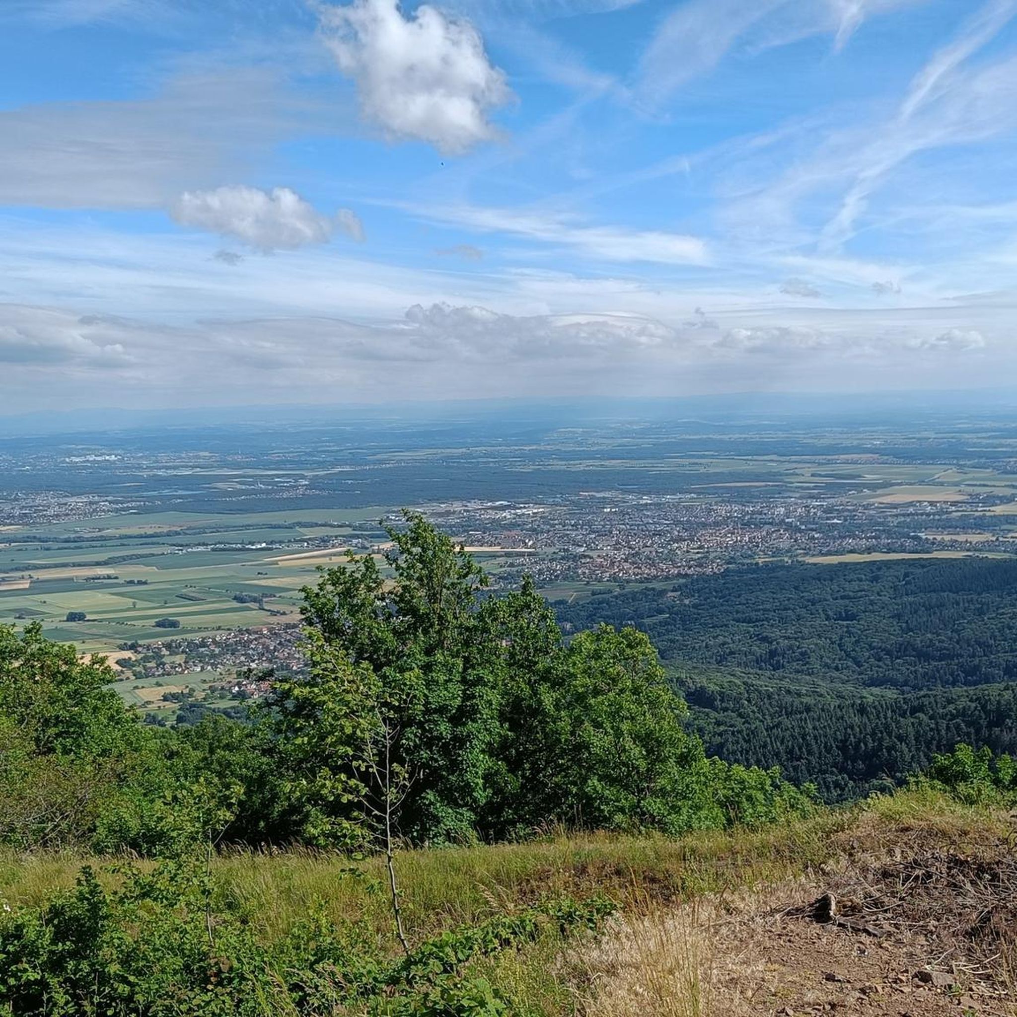
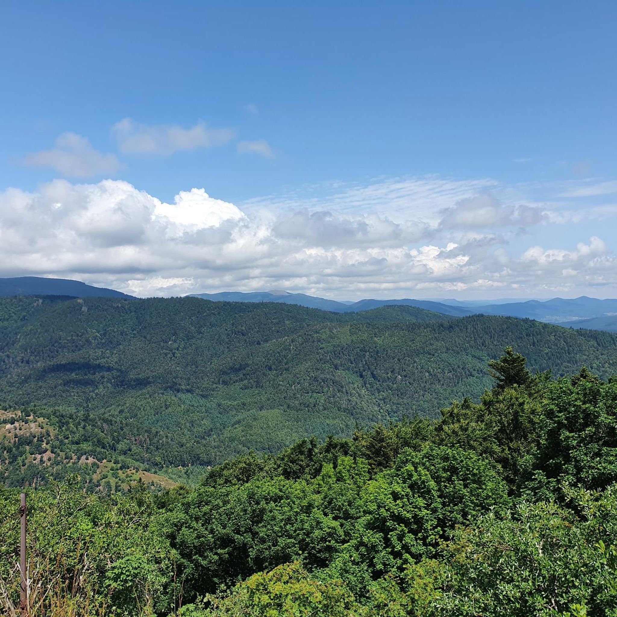
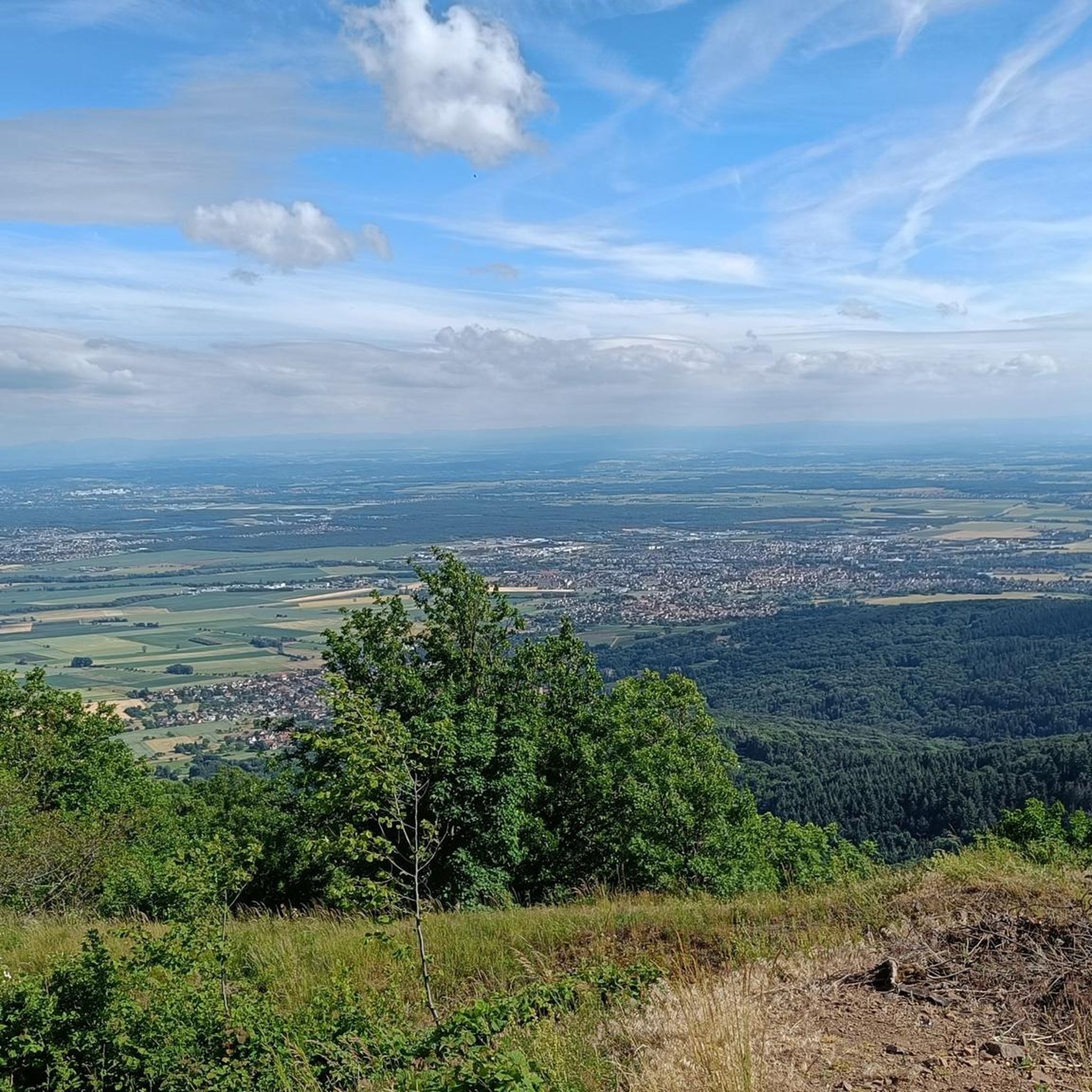
Magnificent views of the valleys and the opposite mountain ranges of the Vosges and fantastic vistas across the Rhine plain to the Black Forest and, in good weather, even to the snow-capped peaks of the Alps!
5
0

Belongs on every bucket list. In good weather with extraordinary visibility.
5
0

The “Roche Sermet” is a rock formation located on the Hartmannswillerkopf¹ battlefield. It is located at an altitude of approximately **910 meters**². Hartmannswillerkopf, also known as Vieil Armand, is a pyramidal rocky spur in the Vosges massif, overlooking the Alsace plain from its 957 meters¹. During the First World War, it was a strategic summit hotly contested by the French and German armies¹. Today, the Hartmannswillerkopf is a place of memory, bearing witness to the suffering of the soldiers who fought in the name of their country¹. The German remains encountered on the ground, sometimes quite spaced apart from each other, are witnesses to this historical period¹. Source: conversation with Bing, 05/07/2024 (1) HWK: Vestiges of the Past - e-monsite. https://hartmannswillerkopf.e-monsite.com/pages/hwk-vestiges-du-passe.html. (2) Presentation. https://hartmannswillerkopf.e-monsite.com/pages/presentation.html. (3) The Hartmannswillerkopf | Paths of memory. https://www.cheminsdememoire.gouv.fr/en/hartmannswillerkopf. (4) The Hartmannswillerkopf - Official website. https://www.memorial-hwk.eu/.
1
0

There are now quite a few stickers on the sign. Good parking in the immediate vicinity (1km) to the summit.
6
1

Beautiful pass crossing with wonderful views over the Rhine plain to the Black Forest and, if the weather is clear, to the Alps
4
0

Highest point of the Vosges massif, inevitably unavoidable. Nice roads but very busy.
4
0

Frequently Asked Questions
What are the main natural attractions around Wattwiller?
The region around Wattwiller, nestled in the Ballons des Vosges Regional Nature Park, offers several remarkable natural sites. Key attractions include the majestic Grand Ballon, the highest peak of the Vosges Mountains, and the serene Lac du Ballon, a natural glacial lake. You can also explore the educational Sentier découverte : la nature et l'eau, which focuses on the region's mineral water and conservation efforts.
Are there any historical natural monuments in the area?
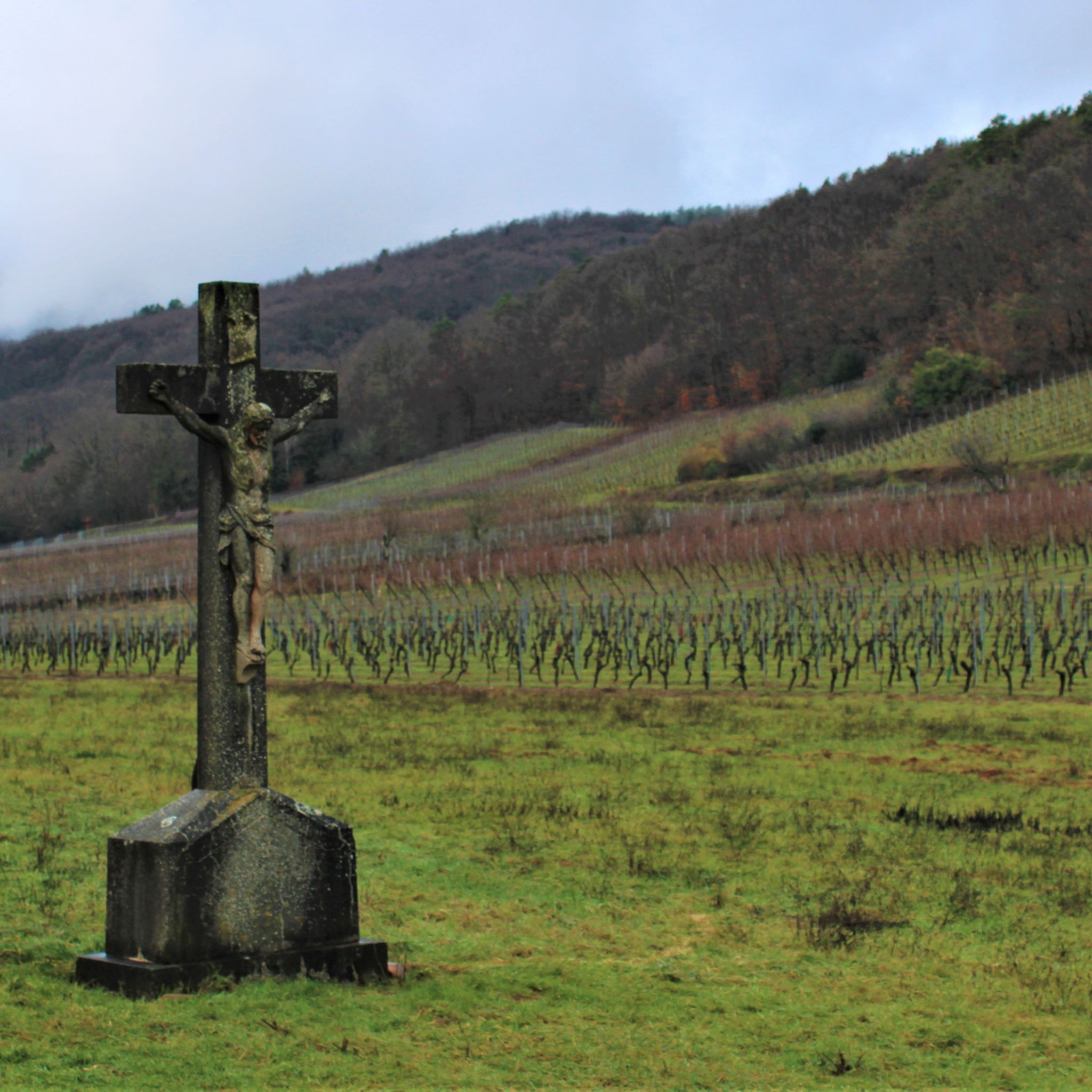
Yes, several natural monuments around Wattwiller also hold significant historical importance, particularly from World War I. The Hartmannswillerkopf National Monument is a poignant site commemorating soldiers, featuring an altar, cemetery, and crypt. Similarly, the Viewpoint at the summit of Vieil Armand offers panoramic views while standing on ground that was bitterly contested during the war.
What kind of views can I expect from the natural monuments?
The natural monuments around Wattwiller offer breathtaking panoramic views. From the summit of the Grand Ballon, you can see the Rhine Valley, the Black Forest, and even the Alps on clear days. The Viewpoint at the summit of Vieil Armand also provides extensive views over the Rhine Valley and the Black Forest. Even the Hundsruck Pass, while primarily a cycling route, offers pleasant vistas.
Are there family-friendly natural monuments or trails?
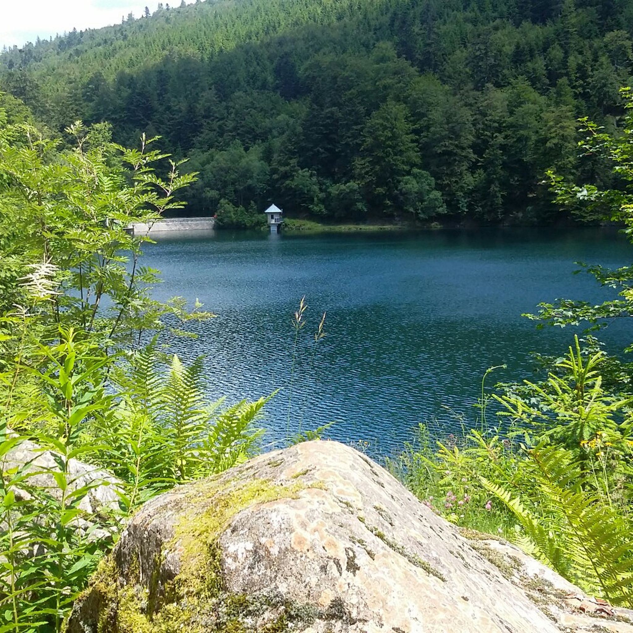
Yes, the region offers options suitable for families. The Ballon Lake is a beautiful spot for peaceful contemplation and serves as a starting point for various hikes. The Sentier découverte : la nature et l'eau in Wattwiller is specifically designed to be engaging and educational for families, with downloadable games available for children.
What outdoor activities can I do near these natural monuments?
The natural monuments around Wattwiller are excellent starting points for various outdoor activities. You can find numerous trails for hiking, running, mountain biking, and road cycling. For example, there are challenging running routes like the 'Grand Ballon – Grand Ballon loop from Wattwiller' and scenic cycling routes such as the 'Col de Herrenfluh – View from Col du Silberloch loop from Wattwiller'. You can explore more options on the dedicated guides for Running Trails, MTB Trails, and Cycling around Wattwiller.
Can I swim in the Lac du Ballon?
No, swimming is prohibited in the Lac du Ballon. While it is a beautiful natural lake of glacial origin, it serves as a crucial water supply for the valley and a flood retention basin, so its waters must remain undisturbed.
What is the best time to visit the natural monuments around Wattwiller?
The natural monuments around Wattwiller are enjoyable year-round. In summer, the higher elevations like the Grand Ballon offer refreshing air, perfect for hiking. In winter, the area is suitable for snow activities. The diverse flora on the Grand Ballon is particularly vibrant during spring and summer. For historical sites, any time of year is suitable, though accessibility might vary with heavy snow.
Are there any specific natural features related to water in the area?
Yes, Wattwiller is renowned for its mineral water. The Sentier découverte : la nature et l'eau specifically highlights the intricate connection between nature and the preservation of Wattwiller's exceptional natural surroundings, focusing on the origins and qualities of its mineral water and the unique geology of the impluvium.
What is the significance of Roche Sermet?
Roche Sermet is a historical site and viewpoint that served as an outpost during World War I. While today you can only imagine the events that unfolded there, it offers a wonderful view of the Grand Ballon. The position was developed by both German and French forces and has been partially reconstructed.
What makes the Grand Ballon special?
The Grand Ballon is the highest peak of the Vosges Mountains, standing at 1,424 meters. It's special for its breathtaking panoramic views, which can extend to the Rhine Valley, Black Forest, and even the Alps. It also boasts a rich diversity of flora, with many protected plant species, and holds historical significance with a commemorative monument and a distinctive radar station.
Are there any challenging hiking trails near the natural monuments?
Yes, the mountainous terrain around Wattwiller offers several challenging hiking opportunities. Many trails leading to and around the Grand Ballon, or connecting to the Ballon Lake, can be quite demanding. For instance, the 'Grand Ballon – Grand Ballon loop from Wattwiller' is a difficult running route that also serves as a challenging hike. You can find more details on the Running Trails around Wattwiller guide.
Most popular routes around Wattwiller
Most popular attractions around Wattwiller

Get inspired with the komoot mobile app


Explore more
Extend your search for the best caves by checking out these guides of the top ones around Wattwiller:
