The best cycling routes around Wattwiller
4.4
(1414)
17,524
riders
521
rides
Touring cycling around Wattwiller offers diverse landscapes within the Vosges mountains, characterized by challenging ascents and scenic valley routes. The region features numerous mountain passes, including the Molkenrain massif, alongside picturesque vineyards and tranquil forest paths. Cyclists can explore routes that traverse both mountainous terrain and flatter river valleys, providing varied experiences. The area's geography includes significant natural features like the Grand Ballon and the Thur River, shaping the available cycling opportunities.
Best touring cycling routes around Wattwiller
- The most popular touring cycling route is Col de Herrenfluh – View from Col du Silberloch loop from Wattwiller, a 14.1 miles (22.7 km) trail that takes 1 hour 52 minutes to complete. This difficult route includes significant climbs through mountain passes.
- Another top favourite among local touring cyclists is Col de Herrenfluh – Vieil Armand Memorial loop from Wattwiller, a difficult 11.3 miles (18.2 km) path. This route combines mountain ascents with a visit to a historic memorial site.
- Local touring cyclists also love the The Thur – Thur River loop from Wattwiller, a 14.3 miles (23.1 km) trail leading through the Thur River valley, often completed in about 1 hour 24 minutes.
- Touring cycling around Wattwiller is defined by the Vosges Mountains, vineyards, and river valleys. The network offers options for different ability levels, from moderate riverside paths to difficult mountain climbs.
- The routes in Wattwiller are highly rated by the komoot community with an average score of 4.0 stars from more than 30 reviews. More than 400 touring cyclists have used komoot to explore Wattwiller's varied terrain.
Last updated: October 2, 2026
4.4
(18)
223
riders
26.7km
01:36
160m
160m
Moderate bike ride. Good fitness required. Mostly paved surfaces. Suitable for all skill levels.
4.6
(25)
110
riders
41.9km
02:41
350m
350m
Moderate bike ride. Good fitness required. Mostly paved surfaces. Suitable for all skill levels.

3.9
(13)
153
riders
22.1km
01:53
650m
650m
Hard bike ride. Very good fitness required. Mostly paved surfaces. Suitable for all skill levels.
4.5
(6)
55
riders
26.8km
01:44
340m
340m
Moderate bike ride. Good fitness required. Mostly paved surfaces. Suitable for all skill levels.
3.0
(1)
21
riders
10.3km
00:44
200m
200m
Moderate bike ride. Good fitness required. Mostly paved surfaces. Suitable for all skill levels.
Get access to more routes and recommendations from other explorers.
Already have an account?
Our route recommendations are based on thousands of hikes, rides, and runs completed by other people on komoot.
Start today with a free account
Your next adventure awaits.

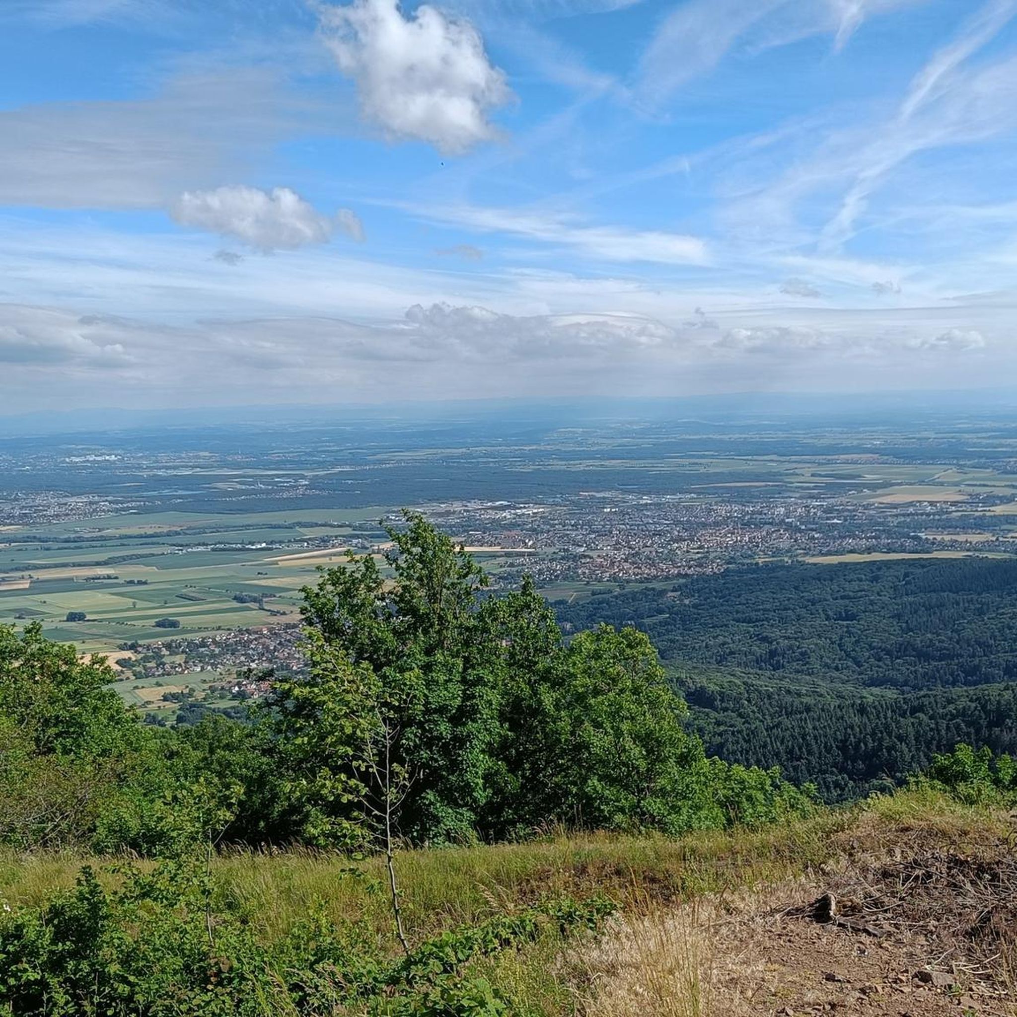
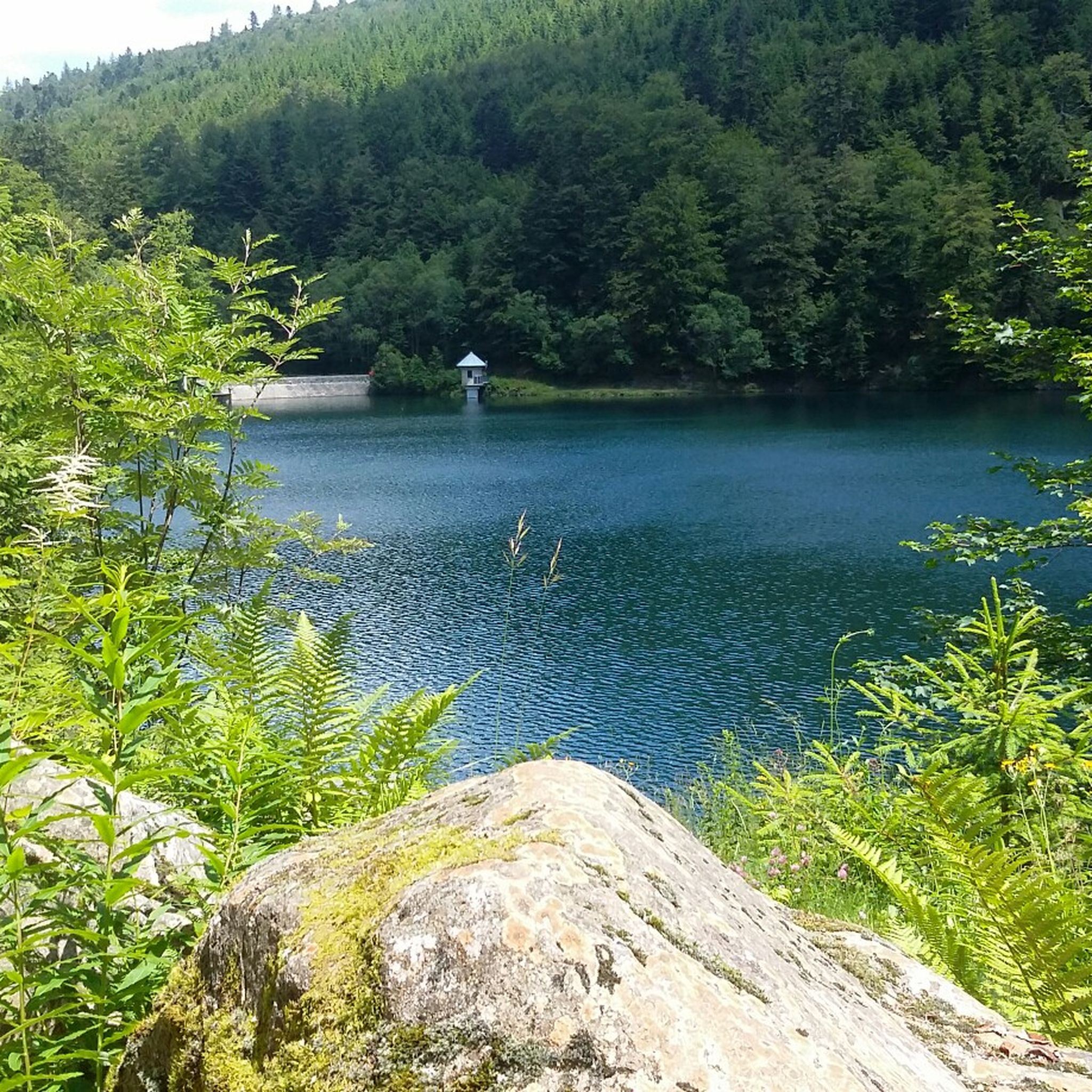
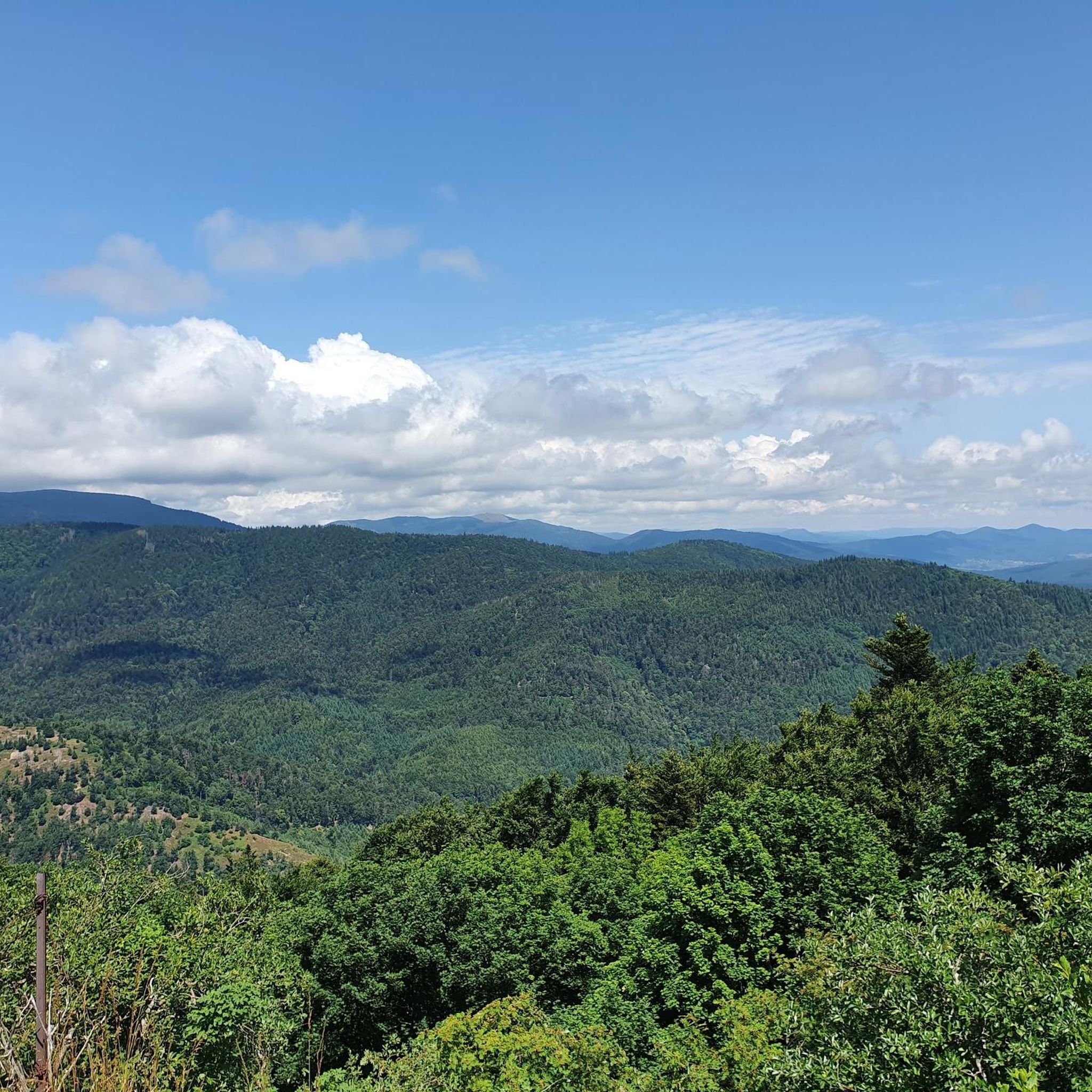
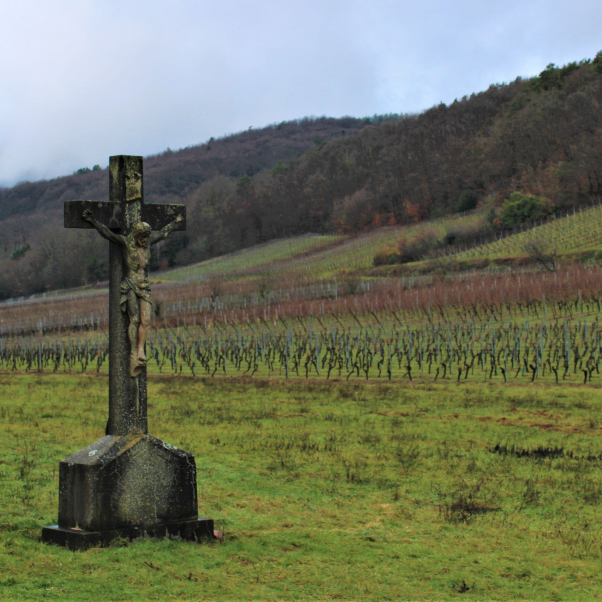

Other adventures around Wattwiller

Tips from the Community


Thann's sloping vineyards are famous for their south-facing orientation with slopes that can reach 45°, offering spectacular and dizzying landscapes. These hillsides, located between 350 and 450 meters above sea level, extend over an area of 22 hectares and are renowned for their volcanic terroir and their proximity to the Thur River, which provides the humidity necessary for the grapes to ripen. Among the grape varieties cultivated are Riesling, Pinot Gris, Gewürztraminer, and Muscat, all grown in often rocky and well-exposed soil, which gives the wines great finesse. Viticulture on these steep terrains requires harvests that are often carried out with ropes to ensure safety on these very steep slopes. These vineyards, particularly the Grand Cru Rangen, are among the most emblematic of the region.
0
0
The Cernay National Cemetery is a memorial dedicated to the soldiers who fell during the battles of Vieil-Armand and Steinbach in the summer of 1914. Created in 1920, it was designed to house the bodies exhumed from temporary military cemeteries in the region and was reorganized after World War II to include soldiers who died between 1940 and 1945. This cemetery contains 2,238 French bodies, as well as Czech, Russian, British, and Serbian combatants. Two ossuaries contain the remains of 938 combatants.
0
0
It's very pleasant to be able to enjoy the good water from this famous spring, but you have to queue: the locals get their supplies there for several days!
0
0

From 1871 until the end of the First World War, Uffholz belonged to the German Empire as part of the Imperial Territory of Alsace-Lorraine and was assigned to the Thann district in the Upper Alsace region. During the First World War, the town, located at the foot of the Hartmannsweiler Kopf mountain and thus in a key combat zone, was 80 percent destroyed. Bunkers from this period still survive. Unlike many other destroyed towns, where reconstruction was abandoned due to soil contamination by gas and unexploded bombs, Uffholtz was rebuilt on the same site.
0
0

A beautiful area with many vineyards. There are several tasting opportunities.
5
0

Numerous German Jewish (!) soldiers from the First World War are also buried in this cemetery.
2
0
Frequently Asked Questions
How many touring cycling routes are available around Wattwiller?
Wattwiller offers a diverse network of over 20 touring cycling routes. These routes cater to various preferences, from leisurely rides through valleys to challenging ascents in the Vosges mountains.
Are there touring cycling routes suitable for beginners or families in Wattwiller?
Yes, Wattwiller provides options for less experienced cyclists and families. There are 4 easy routes and 10 moderate routes available. For a moderate option, consider The Thur – Thur River loop from Wattwiller, which follows the Thur River valley and offers a gentler ride.
What kind of challenging touring cycling routes can I find in the Wattwiller area?
For experienced touring cyclists, Wattwiller is an excellent base for challenging ascents. You can tackle routes that climb into the Vosges mountains, such as the difficult Col de Herrenfluh – View from Col du Silberloch loop from Wattwiller, which includes significant climbs. The region also offers access to demanding rides towards the Grand Ballon, the highest peak of the Vosges, and the Molkenrain massif.
Are there any circular touring cycling routes starting from Wattwiller?
Yes, many touring cycling routes in Wattwiller are designed as loops, allowing you to start and finish in the same location. Examples include the challenging Col de Herrenfluh – Vieil Armand Memorial loop from Wattwiller and the more moderate The Thur – Thur River loop from Wattwiller.
What are the best times of year for touring cycling in Wattwiller?
The spring and early summer months, particularly April and June, are popular for touring cycling in Wattwiller. During these times, the weather is generally pleasant, and the landscapes are vibrant. The region's mountain passes, like those in the Vosges, are usually clear of snow, offering optimal conditions for ascents.
What scenic viewpoints can I discover along touring cycling routes in Wattwiller?
The Wattwiller area is rich in scenic viewpoints. Routes often lead to stunning vistas over the Vosges, the plain of Alsace, and even the Black Forest. The Molkenrain massif, for instance, offers splendid panoramic views. You can also find a notable Viewpoint at the summit of Vieil Armand.
Are there any historical sites or landmarks to visit while touring cycling in Wattwiller?
Yes, the region combines natural beauty with significant historical sites. The Musée de la Porte de Thann is accessible via routes like Musée de la Porte de Thann – La Thur Route loop from Wattwiller. Additionally, the Hartmannswillerkopf – Vieil-Armand, a historic WWI battlefield and memorial site, is a poignant attraction that can be incorporated into your ride, as seen on the Col de Herrenfluh – Vieil Armand Memorial loop from Wattwiller.
Can I explore the Alsace Wine Route by touring bike from Wattwiller?
Wattwiller's proximity to the Alsace Wine Route makes it an ideal starting point for exploring this famous region by touring bike. The EuroVelo 5 Via Romea also follows picturesque canal routes and the Alsace Vineyard Cycle Route, allowing you to cycle through charming wine-producing towns and
What natural features or attractions can I see on touring cycling routes near Wattwiller?
The area boasts impressive natural features. You can cycle towards the majestic Grand Ballon, the highest point in the Vosges, or explore the beautiful Steinbach valley to discover the Erzenbach waterfall. The region is also known for Les Grandes Sources de Wattwiller, the source of its renowned mineral water.
What do other touring cyclists enjoy the most about cycling in Wattwiller?
The touring cycling routes around Wattwiller are highly rated by the komoot community, with an average score of 4.0 stars. Cyclists frequently praise the diverse landscapes, which include challenging mountain passes, tranquil forest paths, and scenic vineyard routes. The variety of terrain, from the Vosges Mountains to river valleys, is often highlighted as a key enjoyment factor.
Are there any routes that pass by castles or historical ruins near Wattwiller?
Yes, several routes offer glimpses of the region's rich history. You can find remains of castles such as Herrenfluh, Hirtzenstein, and Weckenthal in the area. For example, the The Witch's Eye (Engelbourg Castle) and the Ruins of Hohrupf Castle are nearby highlights that can be incorporated into your touring cycling adventures.
Are there any touring cycling routes that lead to a lake or water body?
While Wattwiller is primarily known for its mountains and rivers, you can find routes that lead to or pass by water features. The Ballon Lake is a notable highlight in the broader region that can be reached via touring cycling routes, offering a refreshing stop amidst your ride.
Most popular routes around Wattwiller
Most popular attractions around Wattwiller

Get inspired with the komoot mobile app


Explore more
Browse the best Cycling routes in other regions.
