Top 10 Mountain Passes around Nogueruelas
Best mountain passes around Nogueruelas are found in the Sierra de Gúdar-Javalambre region of Teruel, Spain. This area provides challenging and scenic routes for cyclists and hikers. The landscape features diverse ecosystems, from arid sections to extensive pine forests. The region also holds historical significance, with ancient communication lines and vestiges of past events.
Best mountain passes around Nogueruelas
- The most popular mountain pass is Puertomingalvo Pass, a mountain pass that features a challenging ascent of nearly 12 km.…
Last updated: May 20, 2026
Puertomingalvo Pass
Highlight • Mountain Pass
Translated by Google •
Tip by

Loma El Zorro Pass (West Side)
Highlight • Mountain Pass
Translated by Google •
Tip by
Sign up now to discover places like this
Get recommendations on the best single tracks, peaks, & plenty of other exciting outdoor places.
Sign up for free
Puerto de Linares
Highlight • Mountain Pass
Translated by Google •
Tip by

Los Molares Pass
Highlight • Mountain Pass
Translated by Google •
Tip by
Puerto de Los Molares (Second Ascent)
Highlight • Mountain Pass
Translated by Google •
Tip by
Sign up for free to discover even more mountain passes around Nogueruelas.
Sign up for free
Already have an account?
Start today with a free account
Your next adventure awaits.
Login or Signup

Tips from the Community


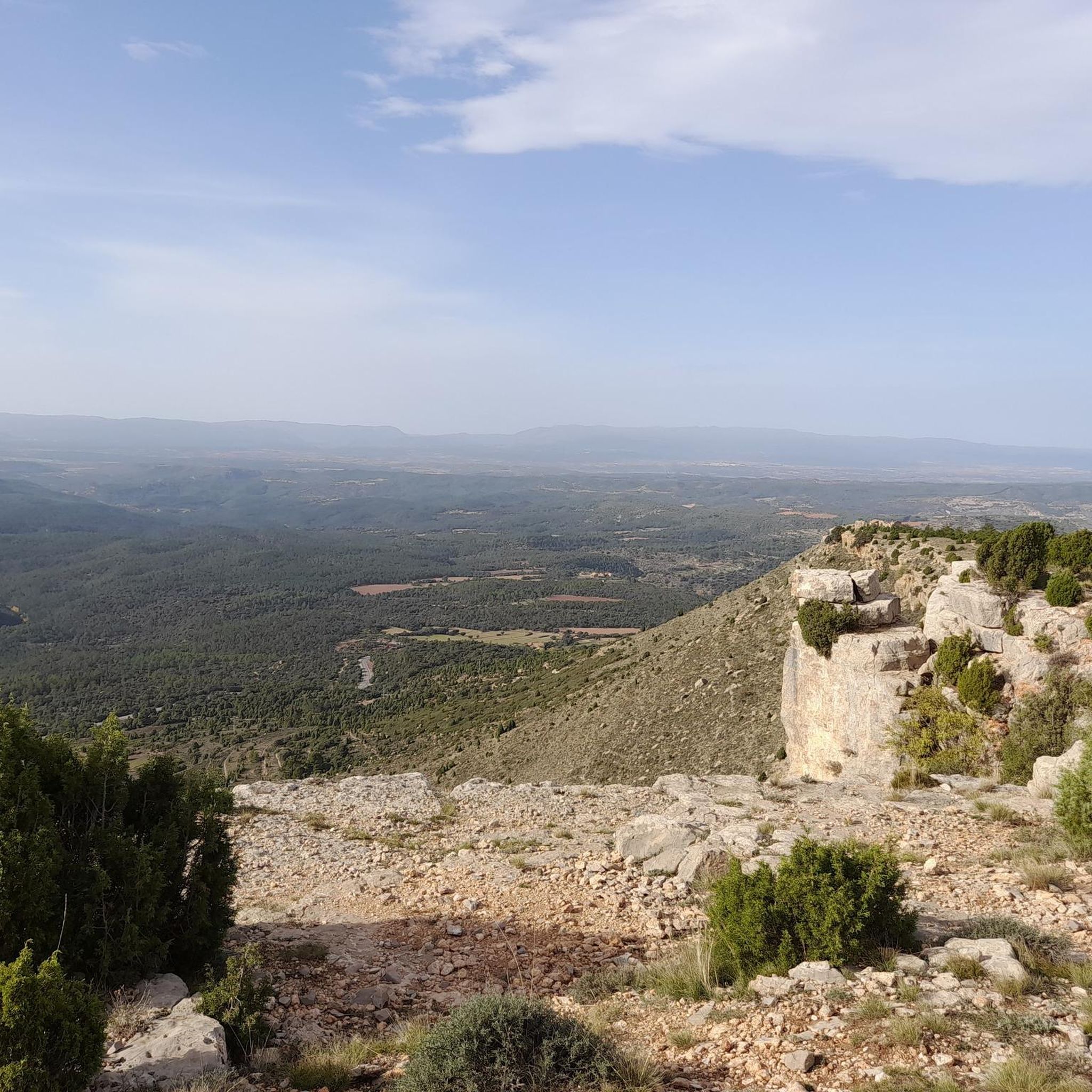
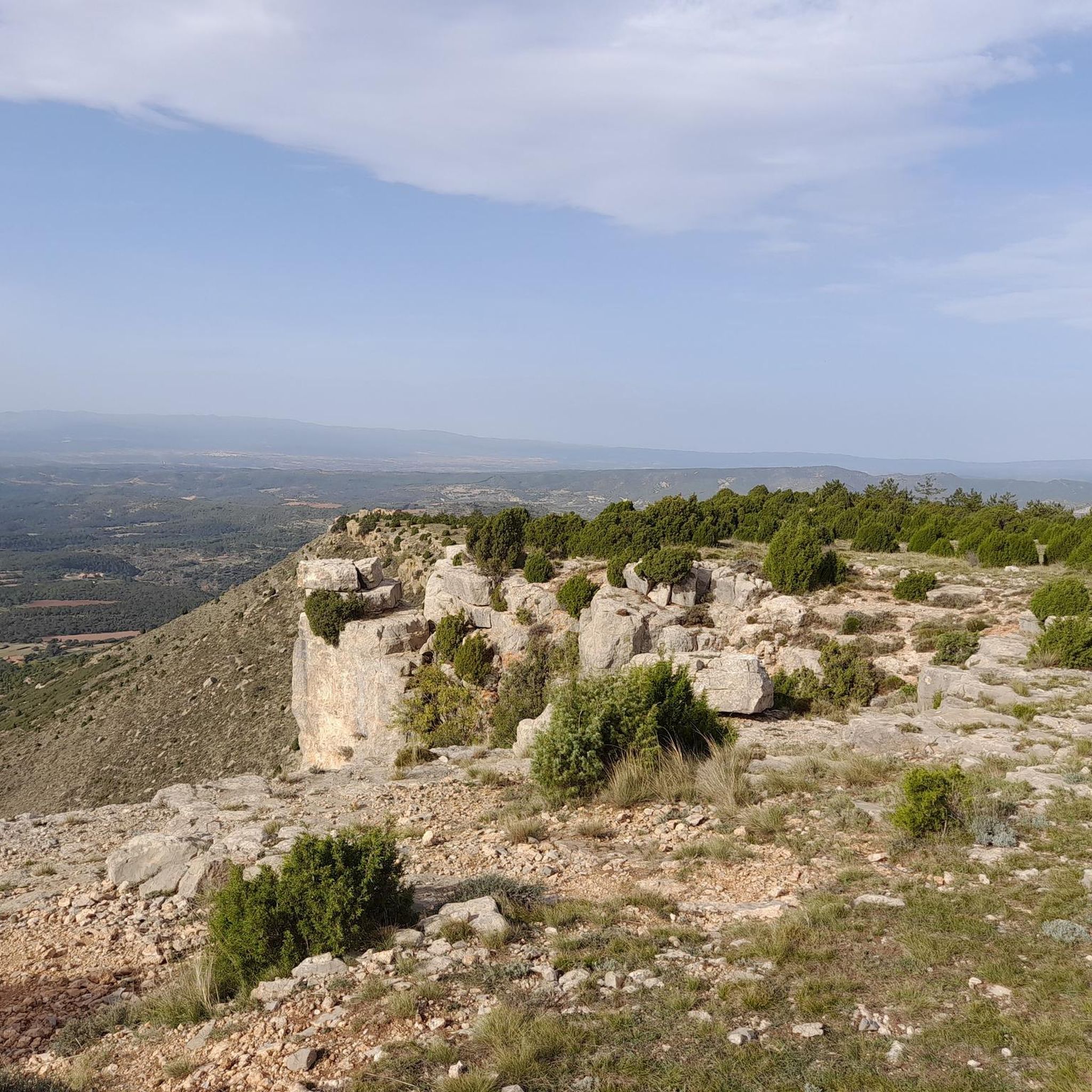
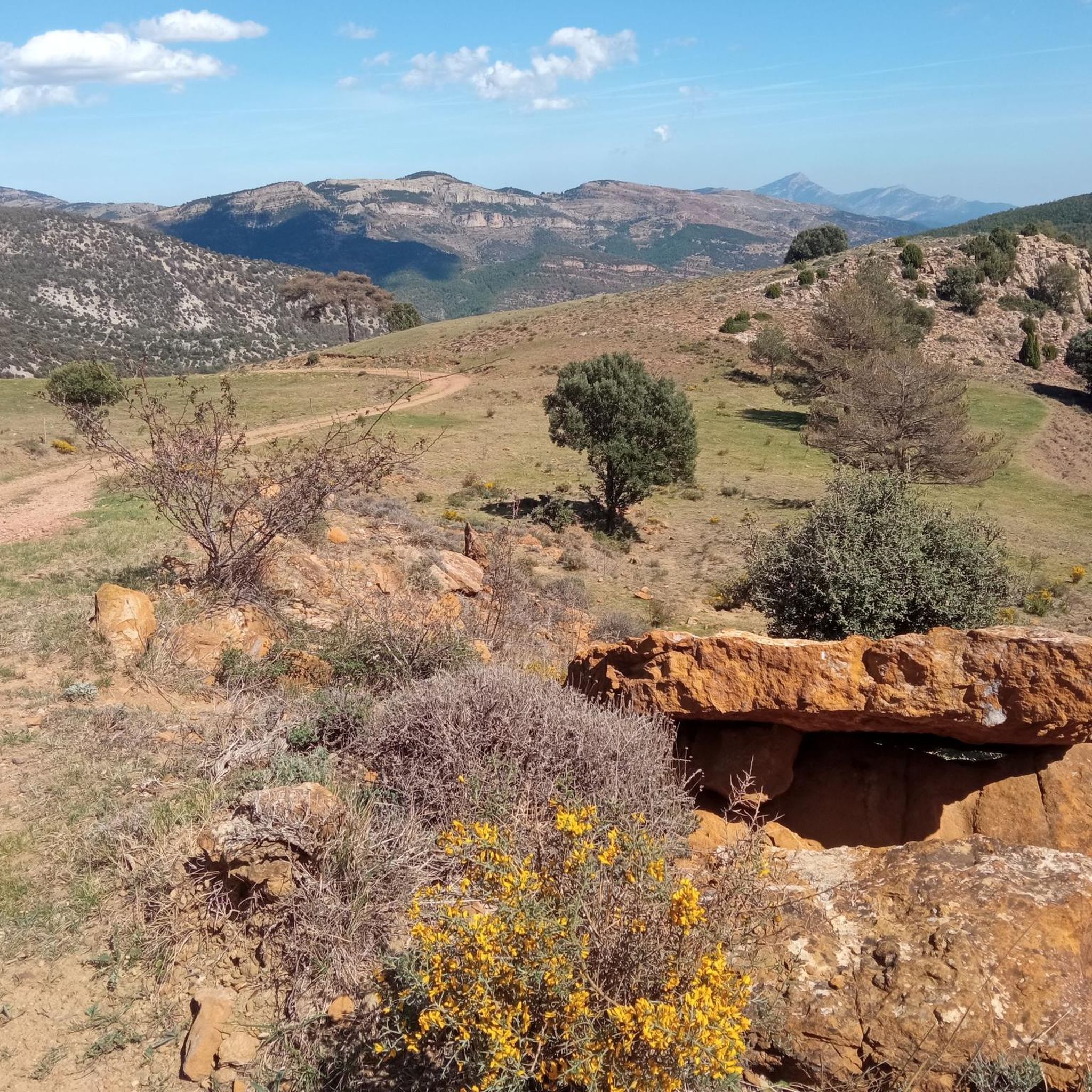
Mountain pass located northeast of the town of Linares, where it winds through the Alto d'Erizosa and Cespedosa.
0
0

Yes, friends of Giving It All, today we present a Señor Puerto, the ascent to the mythical town of Puertomingalvo in Teruel from Villahermosa del Río in Castellón, two communities united by almost 12Km of a beautiful road that leaves no one indifferent who cycles it. As can be seen in the profile, it is an imposing pass, with good mileage and an average slope, clearly divided into 3 sections. A hard start, a more bearable central part (although not easy) and a very demanding last section The port begins just before accessing the picturesque town of Villahermosa, and in what way, the first 3.3km are very hard and constant, with an average gradient of 7.2% and several double-digit ramps... town and all its accesses by a perfectly paved road... height is gained very quickly and the town is left behind on the right hand side while good views of the port of San Bartolomé are contemplated on the left hand side; in turn, the Hermitage of Sant Antoni watches us (momentarily) from above... we may not realize it, but the wear and tear of this section may end up paying later, even if we do not anticipate events Of course, suddenly the road smooths out and we enter a small flat area. It is the only rest of the port, although it is true that it is the prelude to the smoothest section, about 4.5Km where the average will not exceed 4.7%, but beware, there are also 9% ramps, here we never stop climbing. For years this more bearable section had an added difficulty, which was the terrible state of the surface until reaching the province of Teruel, with holes and a lot of gravel. However, everything has been paved so now you can enjoy the climb more... and the descent, which we will talk about the descent later. Here the views to the left continue to improve, and you begin to notice a change in the vegetation, the pines are less and less Aleppo pines and more firs, we move away from the Mediterranean vertically, it is what it has to exceed 1000 meters above sea level... It is an area with a lot of shade, a joy. From the cyclist point of view, this section can be done at a higher speed and thus raise the average, however, we must take into account what is coming, the third section... which begins right on the border with Teruel. A green plaque and a change of asphalt for the worse (although passable) welcomes us to the most interesting part of the climb... not that the percentages are hellish, in fact the average slope of these last 3.8km is 7.1 %, but it is very constant, there are also many double-digit ramps, the accumulated wear and tear already weighs down, and any hint of shade disappears... they are not particularly hot lands, but in summer the sun is equally strong and it is something to have into account too. There is no visual reference from the top to the 1km sign to the town, it is hard to imagine the cyclists of yesteryear without GPS or hardly any references, how long it would take them The port ends not in the town but in the hermitage of Santa Bárbara, about 400 meters before Puertomingalvo, a good place to take photos and take a break before continuing the route or relax in this magical enclave. https://www.dandolotodo09.com/2018/07/puertos-puertomingalvo-por-villahermosa.html
0
0
Yet another port in the confines of the province of Castellón. Although the ascent to Loma el Zorro begins at the Rodeche River on the border between Teruel and Castellón, we have not yet been able to take "in situ" data of the long version (approx. 8.5 km). So today we present the short west slope that begins in the town of Cortes de Arenoso, on the Balseta bridge. As soon as you leave the town, the road gets steep and does not stop until it reaches the brown plaque located at 1,103 meters above sea level. Very constant port of ramps that reach a maximum of 7%. Wide, well-paved road with open, bare landscapes. On the way to the top we find two accesses to the hermitage of San Cristóbal, yes, they are not paved and are more recommended for visits by mountain bike. Let's go with the data of the rise. https://www.dandolotodo09.com/2020/04/puertos-loma-el-zorro-por-cortes-de.html
0
0
Second ascent in the area of Caserío de Los Molares, on the inhospitable and deserted road that joins the towns of Montanejos and Cortes de Arenoso. It could have been included as an extension of the Puerto de los Molares, but there is a considerable drop between these two climbs that makes it inadvisable. After overcoming the dilapidated Caserío de Los Molares, this ascent of less than 2 kilometers begins whose summit slightly exceeds the Puerto de los Molares in altitude. Narrow and quite broken road that winds through a very dense forest area. Abundant shade, non-existent road traffic even in August. There is a maximum ramp at 13% but very short. After crowning there is a viewpoint to the left towards the Puebla de Arenoso reservoir, the Castle and Mount Santa Bárbara. It is not recommended to travel this path in reverse with the road bike, there are many holes.
0
0
Los Molares pass, one of the hardest in the Montanejos area, as it shows an APM hardness coefficient of 85 points. Normally we cycle through the stages and after a short time, with the data collected, we carry out the altimetry and the record. In this case, 4 years have passed between data collection and office work, that is what confinement has, in the absence of pedaling, we can use the abundant data that we have collected in the last 12 years. Let's go with the details of the Puerto de los Molares, a single slope ascent that takes you towards the limit of the province of Castellón, towards the area of the town of Cortes de Arenoso along a quite hidden road. We leave Montanejos towards Cortes de Arenoso along the CV-20 road, and immediately turn right towards the CV-195, crossing the Mijares bridge. The ascent begins smoothly and with good asphalt on the road that leads to Zucaina, but that joy only lasts 1 kilometer. We turn left and we get into a totally different ascent. Narrow and somewhat bumpy road, in a very leafy forest that shelters but prevents seeing landscapes. The next 4 kilometers are not excessively hard, finding some isolated ramp at 9%. A pity about the leafiness of the forest because it is intuited that with a more open landscape there would be beautiful views of the nearby Arenoso reservoir. At kilometer 5 we find an important turning point, marked by the crossing to the Shooting Range and the Canadian pass. After that point comes a descent of half a kilometer that does not bode well. That's right, the hardness of the pass is concentrated after the descent, in the last 2 kilometers. It is the area of the last 4 horseshoes, very constant, all the time above 7-8% and with punctual ramps at 10-11-12%. The final bulletin. The last 500 meters soften. After crowning and finishing the port, there is a short descent and the ruined village of Los Molares that gives its name to this leafy and generally quite hard ascent. https://www.dandolotodo09.com/2020/04/puertos-los-molares-por-montanejos-apm.html
0
0
Frequently Asked Questions
What are some of the most popular mountain passes around Nogueruelas?
Visitors frequently enjoy the challenging ascent of Puertomingalvo Pass, which leads to a picturesque medieval village. Other popular choices include Loma El Zorro Pass (West Side), known for its wide, well-paved road and open landscapes, and Los Molares Pass, which offers a challenging route through a dense forest with steep ramps.
Are there mountain passes with significant historical importance near Nogueruelas?
Yes, Escandón Pass (Puerto Escandón) is historically significant as an ancient communication line connecting the mountainous Teruel Province with the Mediterranean coast. It's also part of the Vía Verde de Ojos Negros, one of Spain's longest greenways, and visitors can find remains of Spanish Civil War trenches nearby.
Which mountain passes offer the best views or natural features?
Puerto de Linares provides spectacular vistas of Linares de Mora and the entire valley from a viewpoint around the 4.43 km mark of its climb. It winds through a green valley and dense pine forests. Puerto de Cabigordo also offers extensive views towards Teruel, with its arid landscape transforming beautifully at sunrise.
What kind of cycling experiences can I expect on the mountain passes near Nogueruelas?
The region offers diverse cycling experiences. For steady inclines through natural landscapes, Puerto de Linares is appreciated by cyclists. Puertomingalvo Pass presents an imposing climb with three distinct sections. For a varied profile combining tough ramps with manageable sections, Puerto de Cabigordo is a popular route. Additionally, the Vía Verde de Ojos Negros, accessible via Escandón Pass, offers a unique experience through varied terrain.
Are there any mountain passes that lead to interesting villages or cultural sites?
Absolutely. The Puertomingalvo Pass leads directly to the picturesque medieval village of Puertomingalvo. This village is rich in heritage, featuring a 12th-century Muslim castle and archaeological traces from dinosaur footprints to Roman funerary stelae.
What outdoor activities can I do near these mountain passes, besides cycling?
The area around Nogueruelas is excellent for various outdoor activities. You can find numerous running trails and MTB trails. The natural landscapes around Puertomingalvo are ideal for hiking, via ferratas, and exploring ravines and caves.
Are there any mountain passes with modern facilities or ski resorts nearby?
Yes, Puerto de Valdelinares is home to an Aragonese ski and snowboard resort. While primarily open in winter, its modern facilities and high altitude (2,000 m) make it a notable spot. It offers gentle slopes and descents between forests, and you can also practice cross-country skiing on a circular route.
What is the best time of year to visit the mountain passes around Nogueruelas?
The mountain passes in the Sierra de Gúdar and Sierra de Javalambre ranges offer breathtaking panoramic views and diverse ecosystems. While specific recommendations depend on your activity, spring and autumn generally provide pleasant temperatures for cycling and hiking. Summers can be warm, but the higher altitudes offer some respite. Winters are suitable for activities around Puerto de Valdelinares.
Are there any challenging climbs for experienced cyclists?
Definitely. Puertomingalvo Pass features a challenging ascent of nearly 12 km with sections of varying, often steep, gradients. Los Molares Pass is also considered challenging, with steep ramps in its final 2 kilometers. Puerto de Cabigordo is a Category 1 climb with a total elevation gain of 721 meters over 17.9 kilometers, offering a demanding route.
What kind of vegetation and landscapes can be observed on these mountain passes?
The region boasts diverse ecosystems. Puerto de Linares winds through a green valley and dense pine forests. Escandón Pass features sparse vegetation but includes patches of Juniperus thurifera (Spanish Juniper). As you ascend passes like Puertomingalvo Pass, you'll notice a change in vegetation from Aleppo pines to firs, indicating a shift from Mediterranean to higher altitude flora. Puerto de Cabigordo showcases more arid landscapes.
Where can I find water sources along the mountain passes?
When tackling Puerto de Linares, you can find water available in Linares de Mora and at the "Fuente de la Torreta" around the 5.86 km mark of the climb, which is helpful for cyclists and hikers.
Most popular routes around Nogueruelas
Most popular attractions around Nogueruelas

Get inspired with the komoot mobile app


Explore more
See even more epic mountain passes by checking out these guides around Nogueruelas:
