The best cycling routes around Nogueruelas
4.8
(4)
550
riders
63
rides
Touring cycling around Nogueruelas, located in the Gúdar-Javalambre region of Teruel province, Spain, offers routes through a natural environment characterized by mountains and varied terrain. The area is situated at the foot of the Sierra de Gúdar, featuring an orography of streams and ravines that form deep beds and riverbanks. This landscape provides a network of trails suitable for exploring the surroundings and natural springs. The region's natural features include points like Fuente del Tajo and Barranco de Los Berros, alongside numerous springs.
Best touring cycling routes around Nogueruelas
- The most popular touring cycling route is Empty Mountains – circular by Valdelinares from Virgen de la Vega via Linares de la Mora, a 23.5 miles (37.8 km) trail that takes 3 hours 35 minutes to complete. This difficult route explores mountainous terrain.
- Another top favourite among local touring cyclists is Linares de Mora – Virgen de la Vega loop from Bandera, a difficult 38.4 miles (61.9 km) path. This loop typically requires about 5 hours 44 minutes to complete.
- Local touring cyclists also love the Olba Village loop from Fuentes de Rubielos, a 24.0 miles (38.7 km) trail leading through Olba Village, often completed in about 3 hours 37 minutes.
- Touring cycling around Nogueruelas is defined by the Sierra de Gúdar mountains, streams, and ravines. The network offers options for different ability levels, including moderate and difficult routes.
- The routes in Nogueruelas are highly rated by the komoot community with an average score of 4.75 stars from 4 reviews. More than 500 touring cyclists have used komoot to explore Nogueruelas's varied terrain.
Last updated: May 15, 2026
1
riders
37.8km
03:35
1,050m
1,050m
Hard bike ride. Very good fitness required. Mostly paved surfaces. Suitable for all skill levels.
18
riders
61.9km
05:44
1,410m
1,420m
Hard bike ride. Very good fitness required. Mostly paved surfaces. Suitable for all skill levels.

Sign up for free
25
riders
38.7km
03:38
1,010m
1,010m
Hard bike ride. Very good fitness required. Mostly paved surfaces. Suitable for all skill levels.
23
riders
31.1km
03:17
1,060m
1,060m
Hard bike ride. Very good fitness required. Mostly paved surfaces. Suitable for all skill levels.
17
riders
Hard bike ride. Very good fitness required. Mostly paved surfaces. Suitable for all skill levels.
Get access to more routes and recommendations from other explorers.
Sign up for free
Already have an account?
Our route recommendations are based on thousands of hikes, rides, and runs completed by other people on komoot.
Start today with a free account
Your next adventure awaits.
Login or Signup

Tips from the Community

Beautiful little town in the middle of the mountains
0
0

S 3 in both directions, on a half-slope with good handling, the slopes are the most complicated part of this section, good surface, some small rocky steps and tight curves
0
0

Good water in abundance at this spring.
1
0

The Charles IV Bridge in Olba is a historic structure that crosses the Mijares River. This bridge, built in the 18th century, is known for its stone architecture and its importance in connecting local routes. Originally, it had four arches, but two of them were destroyed during the Civil War. The bridge is a highlight on several hiking trails, such as the one from Olba to Fuente los Pertegaces. This circular route allows you to enjoy the natural beauty of the valley and other points of interest such as the Salud aqueduct.
7
0

Aragonese ski and snowboard resort located in the Iberian System, specifically in the unique and extremely beautiful enclave of the Sierra de Gúdar, located in the province of Teruel. It is located at a distance of 70 km from the Provincial Capital. This winter center, despite being small in size, is at 2,000 m. of altitude, so its snow is highly appreciated, especially by Aragonese skiers and the Valencian community who, due to its proximity, are the ones who frequent and know it the most. Being one of the most recent ski and snowboard resorts in Spain, its facilities are modern, and all its slopes are equipped with the most modern artificial snowmaking systems. You can also practice cross-country skiing on a circular route. It offers gentle slopes and descents between forests.
0
0
It is located in the southern area of Aragon, specifically, in the Gudar/Javalambre region, at an altitude of 1,400 m. and its dry climate is temperate-cold with an average annual temperature of 8ºC. It snows and rains frequently, keeping the forests green. The natural sources and streams in the area prove it.
1
0
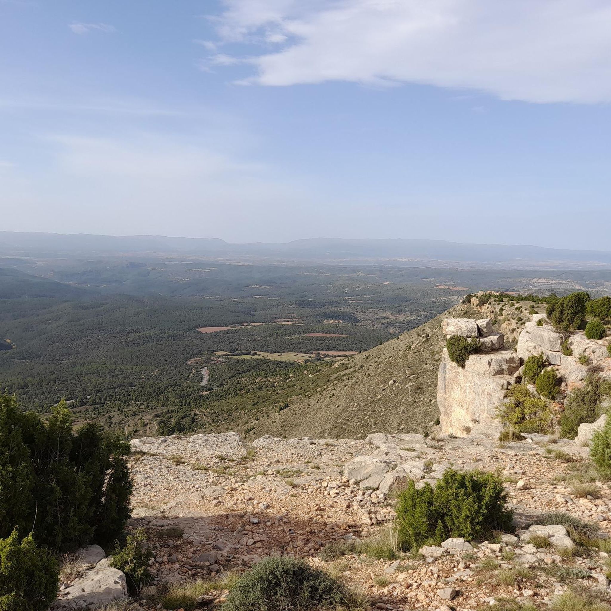
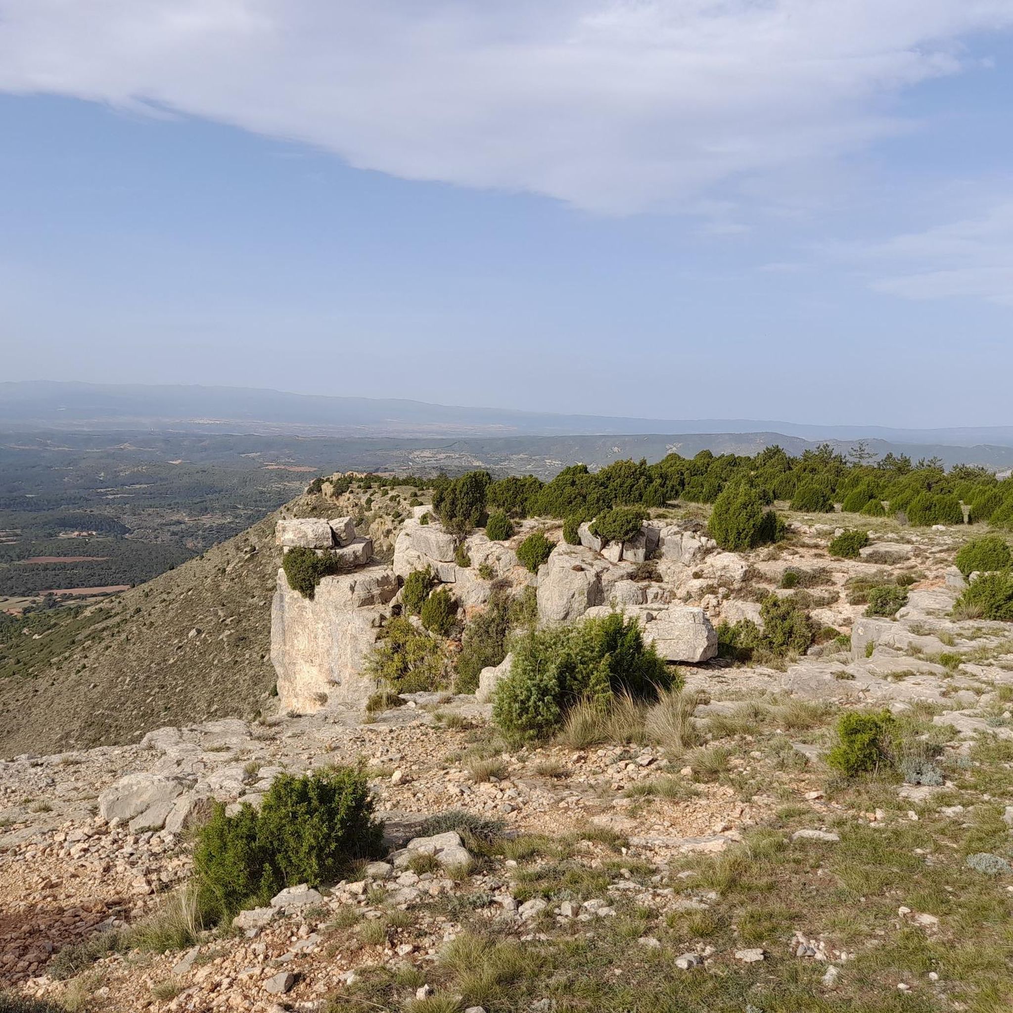
The geodesic vertex called Peñarroya points 2028.228 m with respect to the base of the observation pillar, but it sits on two bodies of stone masonry. Altitude of the bodies of the order of 10 or 11 meters in total. LIDAR data confirm a ground level elevation of 2017 m. Peñarroya is a chromotoponym that refers to the color of the rocks that make up the mountain. The spelling in the Spanish language is Peñarroya and in the Aragonese language Penyarroya or Peñarroya depending on the spelling chosen for the palatal nasal. The origin of the toponym is quite clear. It combines the common noun peña, from the Latin PĭNNAM, 'battlement', with the adjective RŭBEŭS, -A, -UM 'blond'. The toponym reflects the reddish hue of the terrain. The spelling Penya (in addition to others such as Penna or Peña) is included in many medieval texts in Aragon. For example, in 1448 to designate the summit of the mountain range (of Peña) that rises above Sos del Rey Católico on the border, then, with the kingdom of Navarra.
1
0
Frequently Asked Questions
What kind of terrain can I expect on touring cycling routes around Nogueruelas?
Touring cycling around Nogueruelas is characterized by its mountainous landscape, situated at the foot of the Sierra de Gúdar. You'll encounter an orography of streams and ravines, forming deep beds and riverbanks. The routes offer varied terrain, from challenging climbs to scenic descents, providing a true high-mountain cycling experience.
Are there many challenging touring cycling routes in the Nogueruelas area?
Yes, the Nogueruelas area is known for its challenging routes. Out of 63 touring cycling routes, 49 are rated as difficult, and 14 as moderate. For example, the Linares de Mora – Virgen de la Vega loop from Bandera is a difficult 38.4-mile (61.9 km) path with significant elevation gain, typically requiring about 5 hours 44 minutes to complete.
What natural landmarks or viewpoints can I see along the touring cycling routes?
The routes around Nogueruelas offer access to several natural landmarks and stunning viewpoints. You can explore areas like The Gorge, visit the Peñarroya Summit and Observation Tower for panoramic views, or discover the unique Peña Ojerada Rock Formation. Many routes also pass by natural springs such as Fuente del Tajo.
Are there any circular touring cycling routes available from Nogueruelas?
Yes, the region offers a good selection of circular touring cycling routes. Many trails are designed to begin and end in the village or nearby, allowing you to explore the surroundings and natural springs. An example is the Empty Mountains – circular by Valdelinares from Virgen de la Vega via Linares de la Mora, a 23.5-mile (37.8 km) difficult route.
What cultural or historical sites can I visit while cycling in Nogueruelas?
Beyond its natural beauty, Nogueruelas offers several cultural and historical points of interest. You can visit the 16th-century Town Hall, the Church of Nuestra Señora de la Asunción, traditional hermitages, and an Ethnological Museum. The Aqueduct of La Hiedra is also a short distance away, combining historical interest with natural scenery.
What do other cyclists say about touring cycling in Nogueruelas?
The touring cycling routes around Nogueruelas are highly rated by the komoot community, with an average score of 4.75 stars from 4 reviews. Over 500 touring cyclists have used komoot to explore the varied terrain, often praising the beautiful landscapes and the challenging nature of the rides through the Sierra de Gúdar.
Are there any family-friendly touring cycling options around Nogueruelas?
While many routes in Nogueruelas are rated as moderate to difficult due to the mountainous terrain, there are options for varying ability levels. For families, it's advisable to look for shorter, less elevated sections or explore the network of marked trails directly around the village, which are often more accessible. Always check the route's difficulty and elevation profile before setting out.
What is the best time of year for touring cycling in Nogueruelas?
Nogueruelas, being in a mountainous region, experiences distinct seasons. Spring and autumn generally offer the most pleasant temperatures for touring cycling, with comfortable weather and vibrant landscapes. Summers can be warm, especially at lower elevations, while winters can bring cold temperatures and snow in the higher parts of the Sierra de Gúdar.
Where can I find parking for my car if I want to cycle in Nogueruelas?
Nogueruelas is a small village, and parking is generally available within or on the outskirts of the village. For specific trailheads, it's often possible to find roadside parking or designated areas near the start of popular routes. Always check local signage for any restrictions.
Are there any mountain passes I can cycle over near Nogueruelas?
Yes, the region around Nogueruelas features several notable mountain passes that are popular with touring cyclists. You can challenge yourself on passes such as Puertomingalvo Pass, Loma El Zorro Pass (West Side), or the well-known Puerto de Valdelinares, offering significant climbs and rewarding views.
Can I find accommodation or places to eat in Nogueruelas after my ride?
Nogueruelas, as a charming village in the Gúdar-Javalambre region, offers options for accommodation and dining. You can find rural guesthouses or small hotels, and there are local cafes and restaurants where you can refuel and enjoy traditional Aragonese cuisine after your touring cycling adventure.
Is it possible to reach Nogueruelas by public transport with a bicycle?
Public transport options to Nogueruelas are limited, typical for a rural mountain village. While some bus services connect to larger towns in the Teruel province, carrying bicycles on these services can be restricted or require prior arrangement. It's advisable to check with specific transport providers regarding their bicycle policies before planning your trip.
Most popular routes around Nogueruelas
Most popular attractions around Nogueruelas

Get inspired with the komoot mobile app


Explore more
Browse the best Cycling routes in other regions.
