Top 14 Mountain Passes around Villanders - Villandro
Mountain passes around Villanders - Villandro are primarily found within the expansive Villanderer Alm, a high alpine pasture in South Tyrol, Italy. This area, situated between the Sarntal and Eisacktal valleys, offers a network of trails and scenic routes across approximately 20 square kilometers. The region features diverse alpine landscapes, from lush meadows to rocky slopes, and holds historical significance with evidence of ancient mining activities. Visitors can experience panoramic views of the Dolomites and explore numerous well-marked routes.
Best…
Last updated: July 25, 2026
Raschötz Hut (Raschötzhütte)
Highlight • Mountain Hut
Translated by Google •
Tip by

Singletrack on the E5 long-distance hiking trail
Highlight (Segment) • Trail
Translated by Google •
Tip by

Sign up now to discover places like this
Get recommendations on the best single tracks, peaks, & plenty of other exciting outdoor places.
Sign up for free
Panidersattel / Passo Pinei (1437 m)
Highlight • Mountain Pass
Translated by Google •
Tip by

Vöraner Joch (1941 m)
Highlight • Mountain Pass
Translated by Google •
Tip by

Little Mittager
Highlight • Summit
Translated by Google •
Tip by

Sign up for free to discover even more mountain passes around Villanders - Villandro.
Sign up for free
Already have an account?
Start today with a free account
Your next adventure awaits.
Login or Signup
Popular around Villanders - Villandro
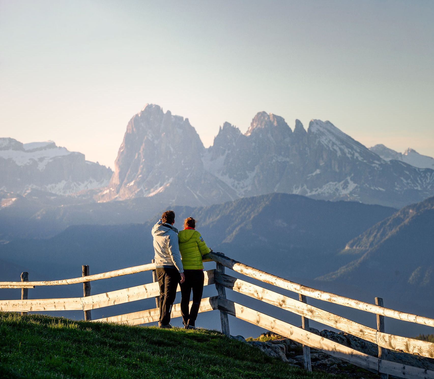
Pure hiking paradise – the most beautiful hikes around Italy’s Klausen
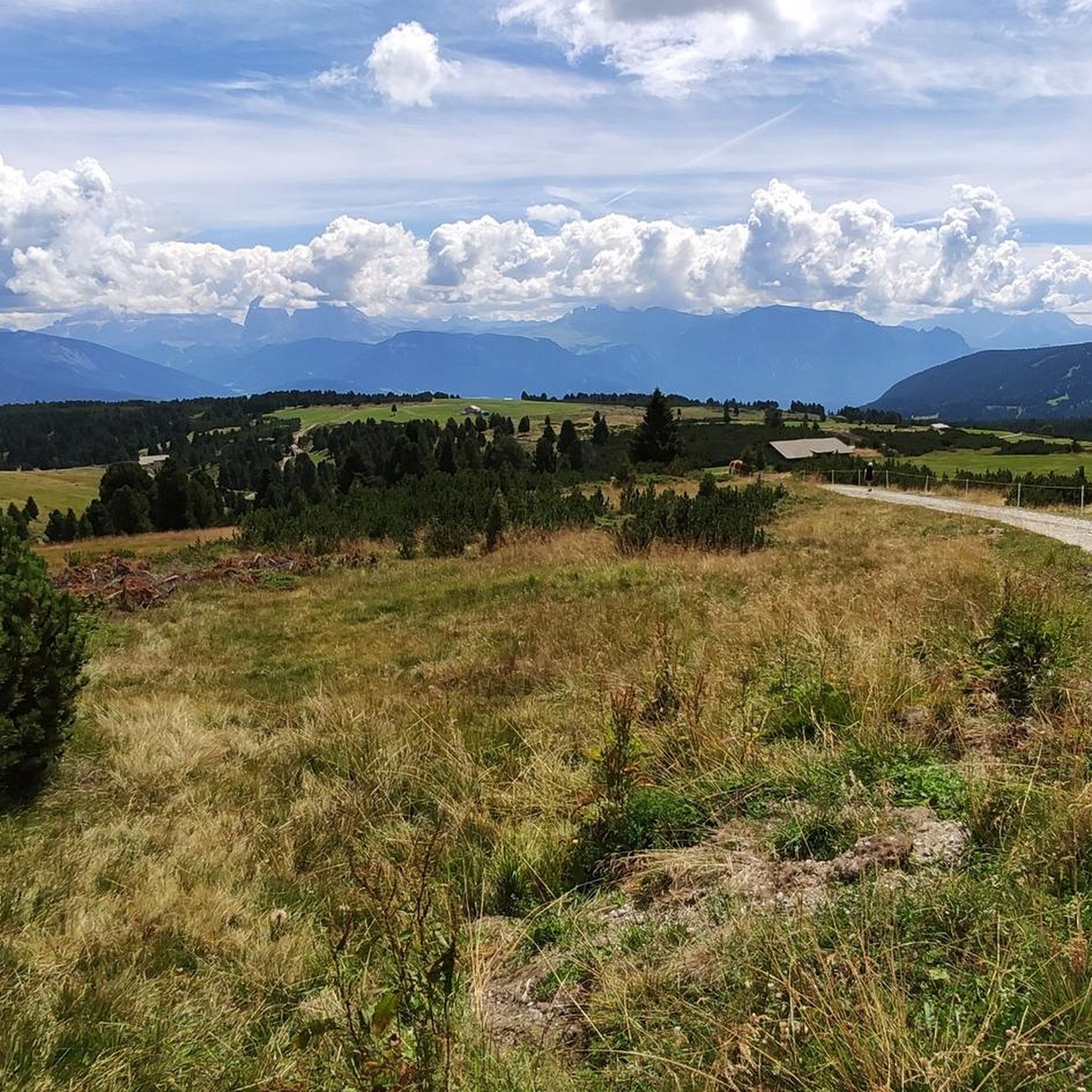
Hiking around Villanders - Villandro
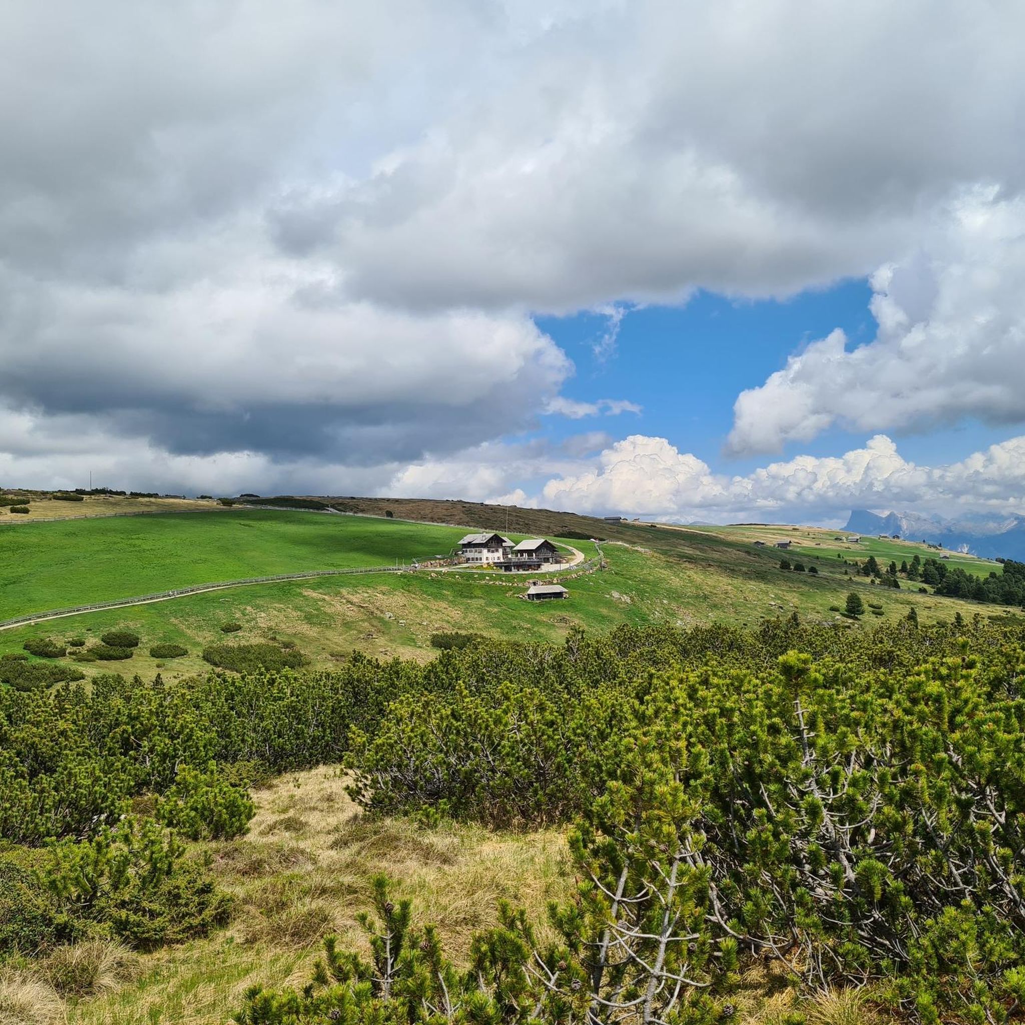
Road Cycling Routes around Villanders - Villandro
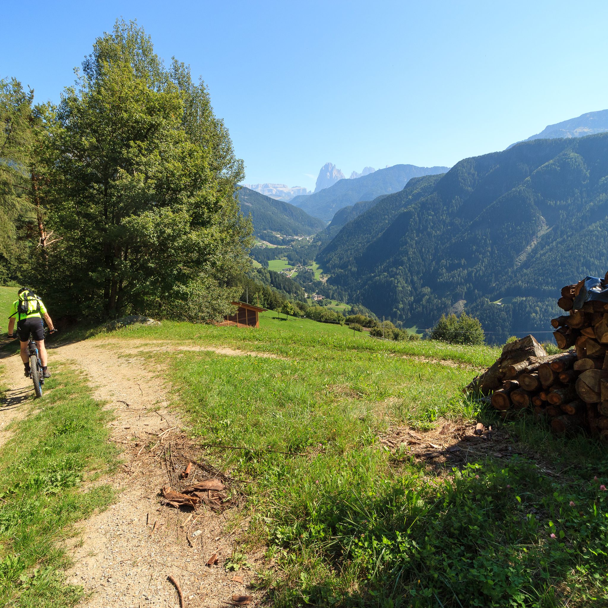
MTB Trails around Villanders - Villandro
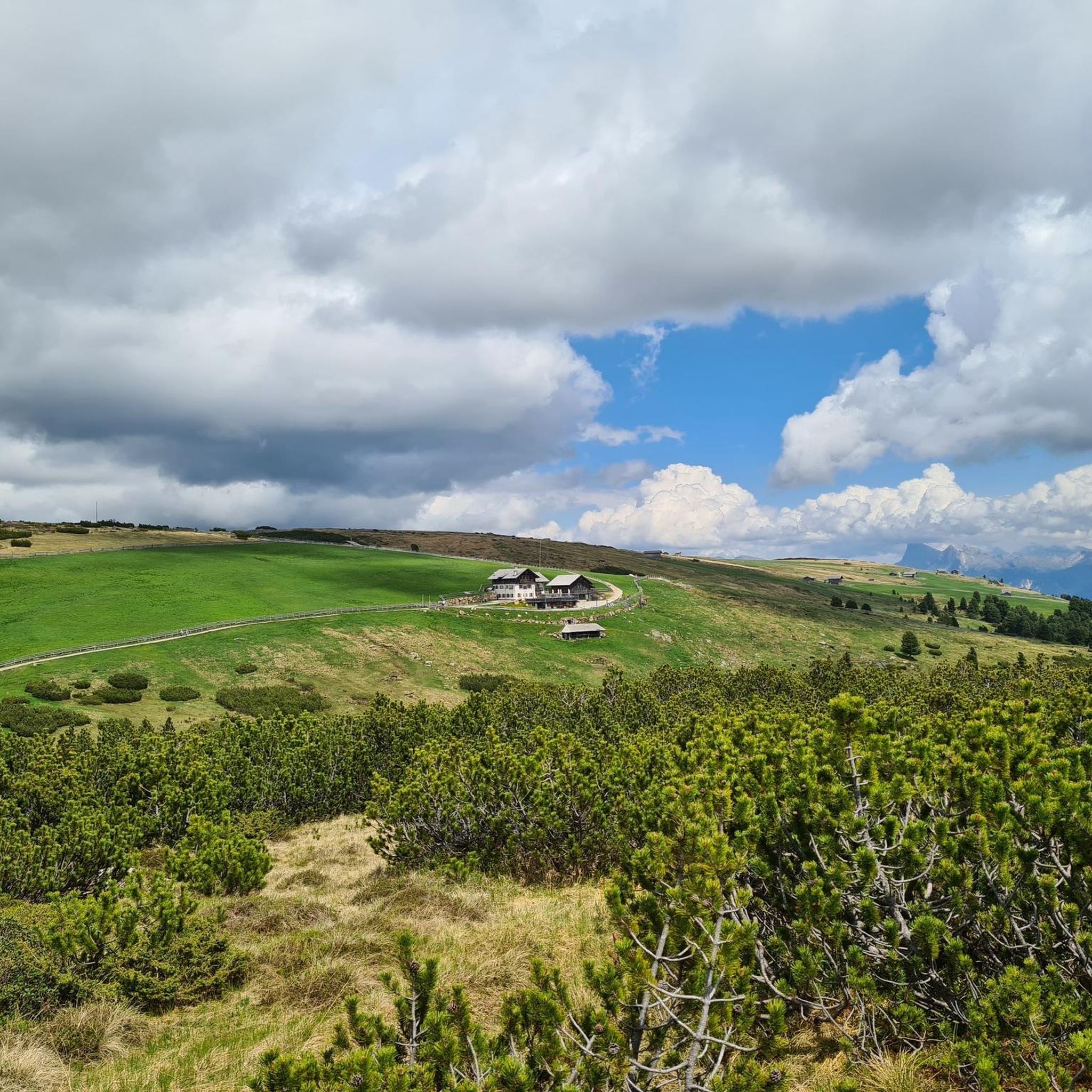
Cycling around Villanders - Villandro
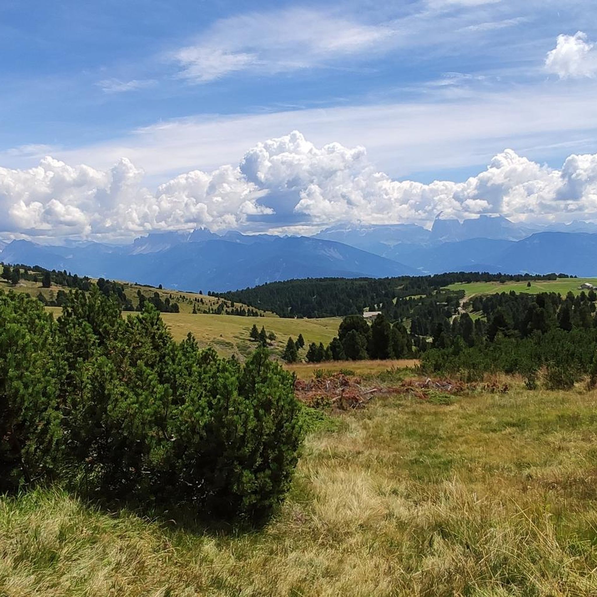
Running Trails around Villanders - Villandro
Gravel biking around Villanders - Villandro
Mountain Hikes around Villanders - Villandro
Other adventures around Villanders - Villandro

Tips from the Community

Nice little pass, has a few steep sections…
2
0
The pass is not very high, but has some steep sections
1
0

The one that leads to the Pinei pass is beautiful. I came up from Siusi. https://www.gardaoutdoor.blog/cicloturismo-ciclismo/passo-pinei/
1
1

If you love climbs of 15, 16%, this is the place for you 🤔
1
1

Nice pass that connects the Eisack Valley with the Val Gardena. From here on, the signs on the Val Gardena side are in three languages: Italian, German and Ladin. The climb from Castelrotto is relaxed at 5 - 7%, with some steeper sections towards Val Gardena.
2
2

From the Piffinger Köpfl take the number 3 towards Missensteiner Joch (2130m). At the yoke you go on number 13 to the Kesselberghütte (2300m). Be careful, the path is very steep. You can make your first stop at the hut or continue walking over a rugged rock on No. 13A to the Mittagerhütte. You can enjoy a magnificent view with Kaiserschmarren and Brettljause. After refreshment, we head downhill on number 13A. Past the Meranerhütte and Waidmannalm you walk back to the mountain station on number 18A. Good footwear is definitely recommended.
0
0

Passo Pinei is located at 1,437 meters above sea level and is one of the iconic passes of the Dolomites. The pass connects Ortisei to Castelrotto and offers splendid views of the Valle Isarco and Val Gardena.
2
0

The Waidmannweg ends at the valley station of the Mittager chairlift. For 14€ we are up to the Kleiner Mittager. From there we had a view towards the Dolomites, unfortunately only to a limited extent because of the clouds. There is also a seismological station for measuring mountain and earth movements.
1
0
Frequently Asked Questions
What are some popular mountain passes or scenic points in the Villanders - Villandro area?
The region is known for its expansive Villanderer Alm, which offers a network of scenic routes rather than traditional passes. Popular points include the Panidersattel / Passo Pinei (1437 m), which connects Ortisei to Castelrotto with splendid views of the Valle Isarco and Val Gardena. Another highly regarded spot is Hairpin 5 at 1,559 m on the Way to Seiser Alm, offering challenging ascents and panoramic vistas.
What kind of views can I expect from the mountain passes and high points around Villanders - Villandro?
Visitors are consistently captivated by sweeping views of the Western Dolomites, including prominent peaks like the Siusi Alp, Mt. Sciliar, and the majestic Odle Group. From higher points like Monte di Villandro, you can enjoy an unrivaled 360° panoramic view that includes these iconic Dolomites.
Are there any specific natural landmarks or features to look out for on the Villanderer Alm?
Yes, the Villanderer Alm features several notable natural landmarks. Hikes to the summit of Monte di Villandro often pass by the picturesque Totensee (Lake of Death) and the historic Totenkirchl (chapel). The Alm itself is characterized by lush green meadows, ancient moorlands, and rolling grass-covered mountain knolls.
Does the Villanders - Villandro area have any historical significance related to its mountain routes?
Absolutely. The region has a rich history, with evidence of human presence and economic exploitation since at least the Mesolithic period. The area around Totensee and Totenkirchl features crumbling foundation walls of miners' dwellings and an open adit entrance, hinting at historical mining activities. The Villanders Ancient Mining Trail (Trail 3A) offers insights into this past.
What is the best time to visit the mountain passes and trails around Villanders - Villandro?
The Villanderer Alm is beautiful throughout the warmer months. Spring brings blooming meadows, while summer offers lush landscapes ideal for hiking. Autumn provides stunning fall foliage. While popular, especially on summer weekends, it often remains a tranquil destination.
Are there easy or family-friendly mountain pass routes in Villanders - Villandro?
Yes, the Villanderer Alm offers numerous well-marked routes suitable for various ability levels, including easy family-friendly walks. The Hairpin 5 at 1,559 m on the Way to Seiser Alm is noted as family-friendly, and the overall network of trails includes options for less strenuous outings.
What kind of outdoor activities can I do near these mountain passes?
Beyond exploring the mountain passes, the area around Villanders - Villandro is excellent for various outdoor activities. You can find numerous hiking trails, including the popular Mountain Pine Trail, and dedicated MTB trails. There are also running trails for those looking for a jog in nature.
Are there mountain huts or places to eat and rest on the Villanderer Alm?
Yes, the Villanderer Alm is dotted with nearly 100 rustic, often family-operated mountain huts. These huts offer traditional local delicacies and refreshing drinks, providing perfect spots for rest and rejuvenation during your explorations. The Gasserhütte is a well-known starting point for many tours.
What is the Vöraner Joch and what does it offer?
The Vöraner Joch (1941 m) offers stunning views of Ifinger on Meran 2000, the Dolomites, and the Texel Group. It's surrounded by endless pastures, meadows, and alpine pastures, providing a serene environment where you can even watch Haflingers graze.
Can I bring my dog on the trails around Villanders - Villandro?
Many trails in the Villanderer Alm area are dog-friendly, allowing you to explore with your canine companion. For example, the route to Hairpin 5 at 1,559 m on the Way to Seiser Alm is listed as dog-friendly. Always ensure dogs are kept on a leash and follow local regulations.
What is the Gasteiger Saddle known for?
The Gasteiger Saddle is an intermediate mountain pass that serves as a connection point for various alpine hikes, including routes to the Villanderer Alm. It offers beautiful views of the surrounding mountains and is considered an easy alpine hike for many.
Are there challenging routes for experienced hikers or cyclists?
Yes, the region caters to all levels. For cyclists, the Descent to Klausen via Passo delle Erbe is a challenging and fun route with relatively little traffic. For hikers, the Villanderer Alm offers routes leading to peaks and more demanding mountaineering experiences, such as the ascent to Monte di Villandro.
Most popular routes around Villanders - Villandro
Most popular attractions around Villanders - Villandro

Get inspired with the komoot mobile app


Explore more
See even more epic mountain passes by checking out these guides around Villanders - Villandro:
