Top 17 Natural Monuments around Unterbäch
Natural monuments around Unterbäch feature a diverse alpine landscape in the Swiss canton of Valais. This mountain village serves as a starting point for exploring numerous natural landmarks and viewpoints. The region offers a variety of natural attractions, from high-alpine lakes to significant geological formations. These sites provide opportunities to experience the pristine alpine environment.
Best natural monuments around Unterbäch
- The most popular natural monument is Lake Breitmatten, a lake that is beautifully embedded on a plateau. This quiet…
Last updated: September 30, 2026
Bhutan Bridge Over the Illgraben
Highlight • Bridge
Translated by Google •
Tip by

Confluence of the Rhône and the Vispa
Highlight • River
Translated by Google •
Tip by

Sign up now to discover places like this
Get recommendations on the best single tracks, peaks, & plenty of other exciting outdoor places.
Bodmeri-Niwa Suone Water Wheel
Highlight • Structure
Translated by Google •
Tip by

Rieben – Europe's Highest Vineyard (Visperterminen)
Highlight • Structure
Translated by Google •
Tip by

Swiss Alps Jungfrau-Aletsch UNESCO World Heritage Site
Highlight • Natural Monument
The UNESCO World Heritage Swiss Alps Jungfrau-Aletsch is one of the most beautiful and valuable mountain landscapes in the world. The world heritage stretches from …
Translated by Google •
Tip by
Sign up for free to discover even more natural monuments around Unterbäch.
Already have an account?
Start today with a free account
Your next adventure awaits.
Popular around Unterbäch
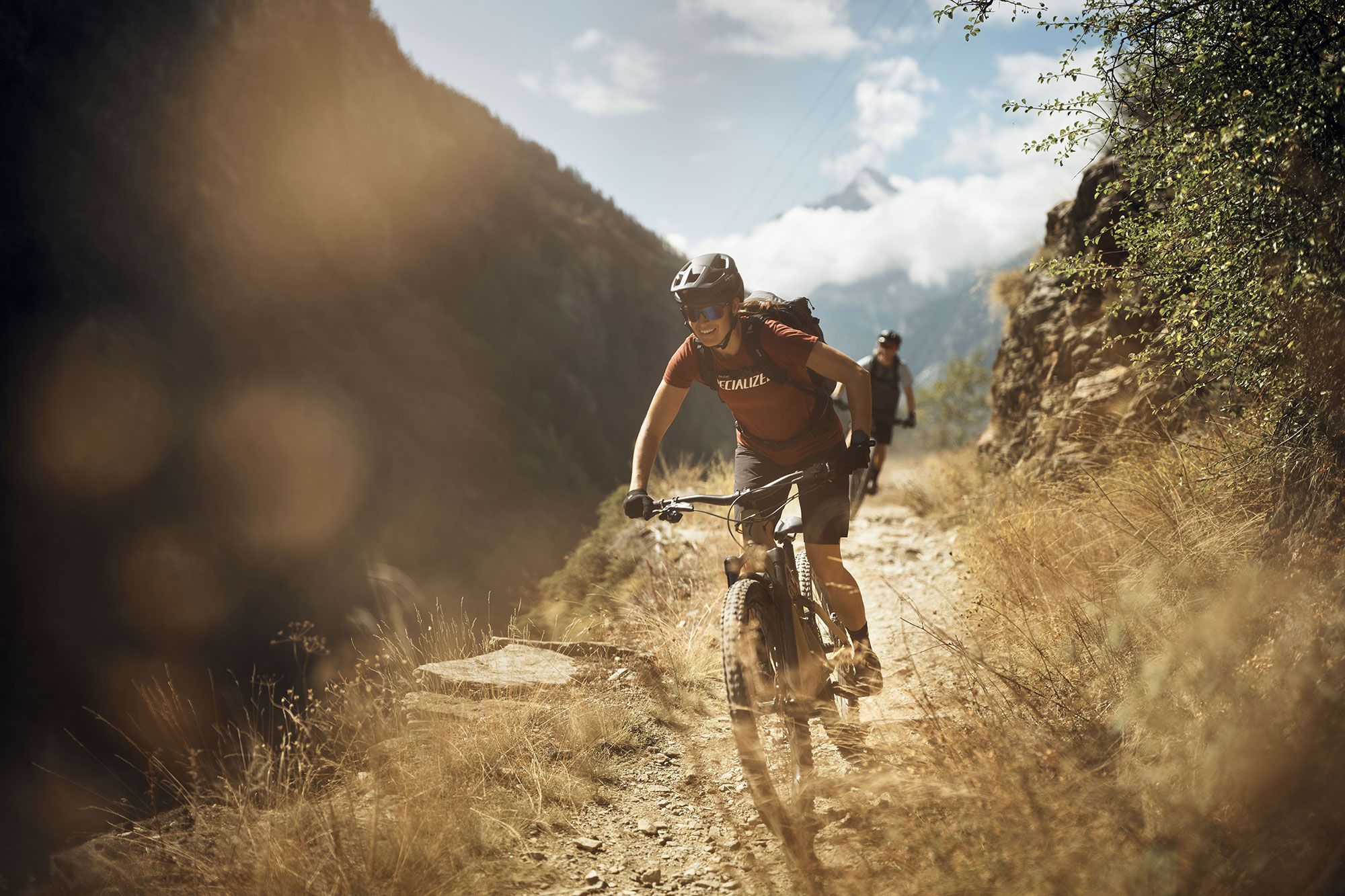
Dreamy trails in Valais – MTB around Visp
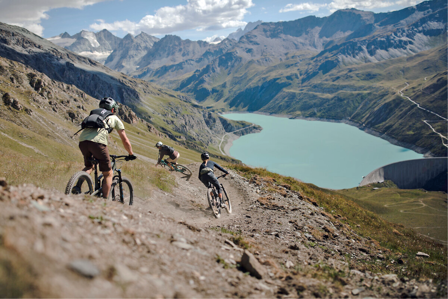
The most beautiful trails in Valais through the Alps – Valais Alpine Bike
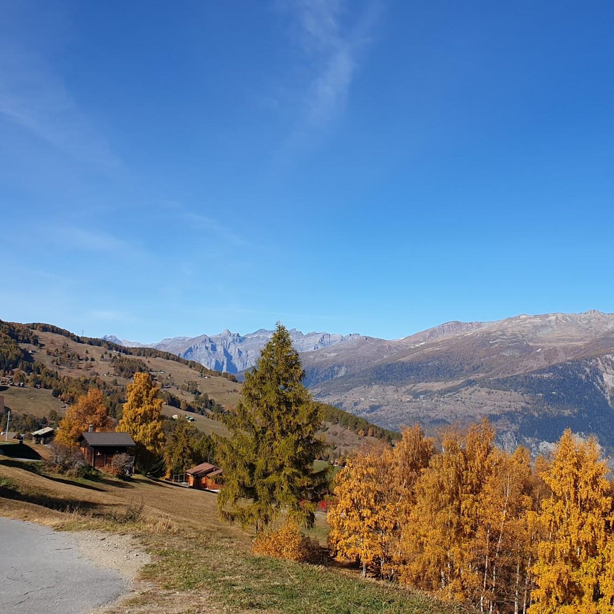
MTB Trails around Unterbäch
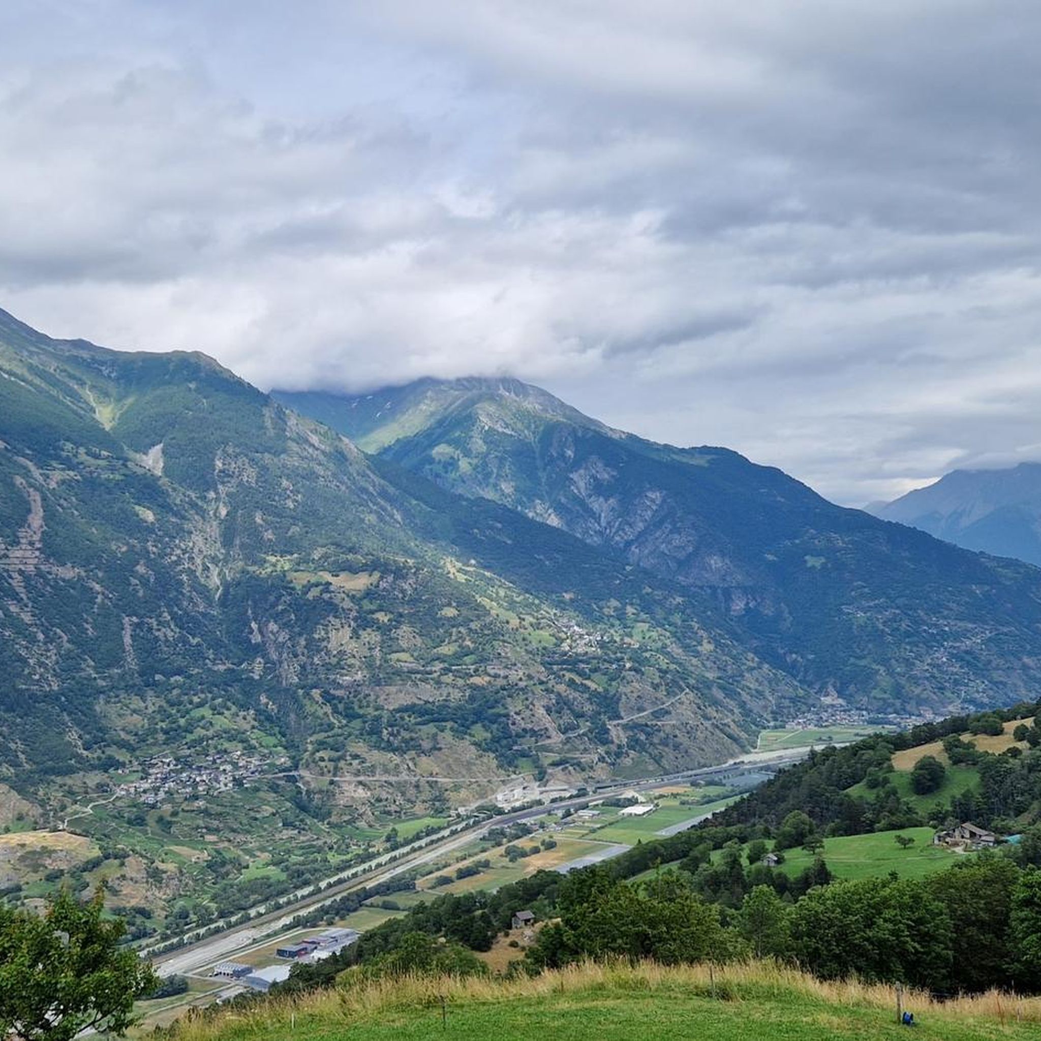
Cycling around Unterbäch
Hiking around Unterbäch
Road Cycling Routes around Unterbäch
Gravel biking around Unterbäch
Running Trails around Unterbäch
Mountain Hikes around Unterbäch


Tips from the Community

West of Visp station, the Vispa flows into the Rhône, which in German-speaking Upper Valais is traditionally called the Rotten. The approximately 8.5-kilometer-long Vispa is formed in Stalden by the confluence of the Mattervispa from the Mattertal valley and the Saaservispa from the Saas valley. Both tributaries carry milky-turquoise water from the glacier-covered high mountain regions around Zermatt and Saas-Fee. After its short course through the Vispertal valley, the Vispa finally joins the significantly wider Rotten. From here, the water continues its journey through the Valais and Lake Geneva, before the Rhône flows on through France to the Mediterranean Sea. The confluence is also a beautiful viewpoint and a fitting place to say goodbye to the Valais once more after a hike through the mountain world around Zermatt. It impressively shows how the water from the Valais Alps shapes the valleys and landscapes far beyond the high mountains.
0
0

The bisses are the historic irrigation channels in the Valais mountains. Many are still in use and require a lot of maintenance.
1
1

This vineyard still offers manual vine cultivation, without the use of machinery on the steep mountain slope - magnificent.
0
0

Impressive renaturation project of the Rohne below the tributary of the Vispa
1
0

Great bridge with a beautiful view over the mostly dry Illgraben
4
0

EXPERIENCE WORLD UNESCO WORLD HERITAGE The UNESCO World Heritage Swiss Alps Jungfrau-Aletsch is one of the most beautiful and valuable mountain landscapes in the world. The world heritage stretches from the eternal ice in the high mountains to the Mediterranean steppe landscape in the south and documents current climate change. The imposing north faces of the Bernese High Alps embody impressive evidence of the alpine mountain formation. Text / source: Swiss Alps Jungfrau-Aletsch https://wnf.ch/
10
1
Suonen are the historical irrigation channels of the Valais. They consist of open ditches that bring the precious and fertile water from the mountain streams - sometimes in an adventurous way - to the dry pastures and fields, vineyards or orchards. Many of the Suonen are still in use today and are carefully maintained. Since the Suonen were very important as a water supply for the cultures and villages and their construction and maintenance was very dangerous, those who worked on them had an important function and a corresponding reputation in the village community. The Suonen sometimes overcome major obstacles such as rock faces or scree slopes, for which special techniques have been developed over the centuries. The Suonen run in the rock faces in wooden channels that are suspended from beams together with a walkway. The beams are wedged in holes that have been cut into the rock. Small water wheels that drive a hammer striking a piece of wood are sometimes used to monitor the flow of water. The hammer blows can be heard over great distances and confirm the flow of water. More irrigation channels have been created on the dry southern slopes than on the northern slopes. Most irrigation channels are 500 m to 2 km long, the longest being the 32 km long Bisse de Saxon. Text/Source: Brig Simplon Tourismus AG
10
0

Europe's highest vineyard Below the village of Visperterminen is Europe's highest, contiguous vineyard, at an altitude of between 650 and 1,150 meters. In short terraces with high dry stone walls, the vineyard, called "Rieben", overcomes 500 meters of altitude in a confined space. Hundreds of these retaining walls turn the steep slopes into small vineyards that are often no larger than two sheets. The southern exposure of the slope, in one of the driest areas of Switzerland, and the large stone surfaces of these dry stone walls make the "grapes" a warming chamber until late autumn, which - together with a few blows of the blow dryer - gives the grapes the necessary ripeness.
2
0
Frequently Asked Questions
What are some of the most popular natural monuments and viewpoints around Unterbäch?
Visitors frequently enjoy Lake Breitmatten, a quiet and idyllic lake beautifully situated on a plateau. Another popular spot is the Bhutan Bridge Over the Illgraben, which offers a unique view over the mostly dry Illgraben. The Panorama Trail to Turtmann Glacier is also highly rated for its scenic views of the glacier and surrounding mountains.
Are there any family-friendly natural monuments or attractions in the Unterbäch area?
Yes, the Bhutan Bridge Over the Illgraben is considered a great and safe adventure for children, with parking available nearby. Additionally, the Hohegga Lookout Point, just a 25-minute walk from Unterbäch village, offers wonderful views and a viewing telescope, making it an accessible outing for families.
What kind of unique geological features can I explore near Unterbäch?
The region is known for its diverse alpine landscape. The Bhutan Bridge Over the Illgraben provides a unique perspective on the geological formations of the Illgraben, a mostly dry riverbed. The broader area is also part of the Swiss Alps Jungfrau-Aletsch UNESCO World Heritage Site, recognized for its extraordinary natural beauty, including the impressive Aletsch Glacier and evidence of alpine mountain formation.
Are there any historical sites or unique man-made structures integrated into the natural landscape around Unterbäch?
Yes, the Bodmeri-Niwa Suone Water Wheel is a notable example. Suonen are historical irrigation channels of the Valais, many of which are still in use today. These channels, sometimes built in adventurous ways along rock faces, are an integral part of the region's cultural and natural heritage.
What outdoor activities can I do near the natural monuments in Unterbäch?
The Unterbäch area is an excellent starting point for various outdoor activities. You can explore numerous hiking trails, from leisurely walks to challenging alpine tours, within the Augstbord region. For specific routes, you can find options like the 'Unterbäch Church – Milibach Suspension Bridge loop' in the Hiking around Unterbäch guide. Cycling and mountain biking are also popular, with routes like the 'Brandalp – Mountain restaurant Dorbia Moosalp loop' available in the MTB Trails around Unterbäch guide.
Are there specific hiking trails that offer panoramic views of the natural monuments?
Absolutely. The Panorama Trail to Turtmann Glacier offers stunning views of the glacier and surrounding mountains once you are above the tree line. Other viewpoints like Hohegga, Moosalp, and Gibidum also provide magnificent vistas of the village, the Augstbord region, and the Rhone valley, extending to the Bernese Alps.
What is the best time to visit Unterbäch for exploring its natural monuments?
The region offers attractions year-round. Summer is ideal for hiking the extensive network of trails and enjoying activities like scooter descents from Brandalp or Ginals. Winter provides opportunities for sledging from Brandalp or skiing/snowboarding from Ginals. The 'intact natural landscape, fresh Alpine air and unique mountain panorama' can be enjoyed in both seasons, depending on your preferred activities.
Can I go fishing near any of the natural monuments in Unterbäch?
Yes, fishing is possible at Grosse See, a high-alpine lake located at 2,549 m. You will need a valid permit to fish there. The lake also features a small shelter and a barbecue area with loungers on its shore.
Are there any hidden natural gems or less-known spots worth visiting around Unterbäch?
The idyllic Chrumm See, hidden to the right of the Seefeld mountain station, is described as one of the most beautiful photo spots in the Augstbord region. It's a serene location that might offer a quieter experience compared to more frequented viewpoints.
What are the options for dining or refreshments near the natural monuments?
Several mountain restaurants are available. Moosalp is renowned for its culinary delights, particularly the cream slice at the Moosalp restaurant. Brandalp features the Alpenrösli mountain restaurant with a panoramic terrace. Gibidum also has a small rest stop with a spring, providing a welcome break for hikers.
What kind of terrain can I expect on hiking trails around the natural monuments in Unterbäch?
The Augstbord region offers around 250 km of marked hiking trails with varied terrain. You can find everything from leisurely walks to challenging alpine tours. Some trails, like the ascent to Turtmann Hütte via the Panorama Trail, can be strenuous and lead through cooling forests before reaching above the tree line. The historical Suonen trails often follow open ditches and can sometimes overcome major obstacles like rock faces.
Is the Aletsch Glacier easily accessible from Unterbäch, and what makes it significant?
While not directly in Unterbäch, the Aletsch Glacier, the longest and largest glacier by area in the Alps, is considered easy to reach from the broader region. It is a significant part of the Swiss Alps Jungfrau-Aletsch UNESCO World Heritage Site, offering unparalleled opportunities to witness glacial landscapes and high-alpine environments.
Most popular routes around Unterbäch
Most popular attractions around Unterbäch

Get inspired with the komoot mobile app


Explore more
Extend your search for the best caves by checking out these guides of the top ones around Unterbäch:
