The best mountain hikes around Unterbäch
4.8
(25)
214
hikers
13
hikes
Mountaineering routes around Unterbäch are set within the Valais canton, on a sunny high plateau characterized by diverse Alpine scenery. The region features cool spruce and larch forests, fragrant Alpine meadows, and barren rocky ridges, offering varied terrain for ascents. Prominent peaks like the Bietschhorn dominate the panorama, providing a dramatic backdrop for mountaineering endeavors. The extensive trail network in the Augstbord region caters to a range of skill levels, from challenging alpine tours to more accessible mountain paths.
Best…
Last updated: October 1, 2026
40
hikers
9.80km
07:29
1,070m
1,070m
Hard mountaineering route. Very good fitness required. Sure-footedness, sturdy shoes and alpine experience required.
5.0
(8)
45
hikers
10.6km
04:00
570m
570m
Hard mountaineering route. Good fitness required. Sure-footedness, sturdy shoes and alpine experience required.

4.8
(4)
8
hikers
6.30km
01:51
180m
180m
Easy mountaineering route. Great for any fitness level. Easily-accessible paths. Suitable for all skill levels.
4.7
(3)
11
hikers
12.5km
04:41
810m
810m
Hard mountaineering route. Good fitness required. Sure-footedness, sturdy shoes and alpine experience required.
5.0
(2)
7
hikers
17.4km
05:58
750m
750m
Hard mountaineering route. Very good fitness required. Sure-footedness, sturdy shoes and alpine experience required.
Get access to more routes and recommendations from other explorers.
Already have an account?
Our route recommendations are based on thousands of hikes, rides, and runs completed by other people on komoot.
Start today with a free account
Your next adventure awaits.
Popular around Unterbäch
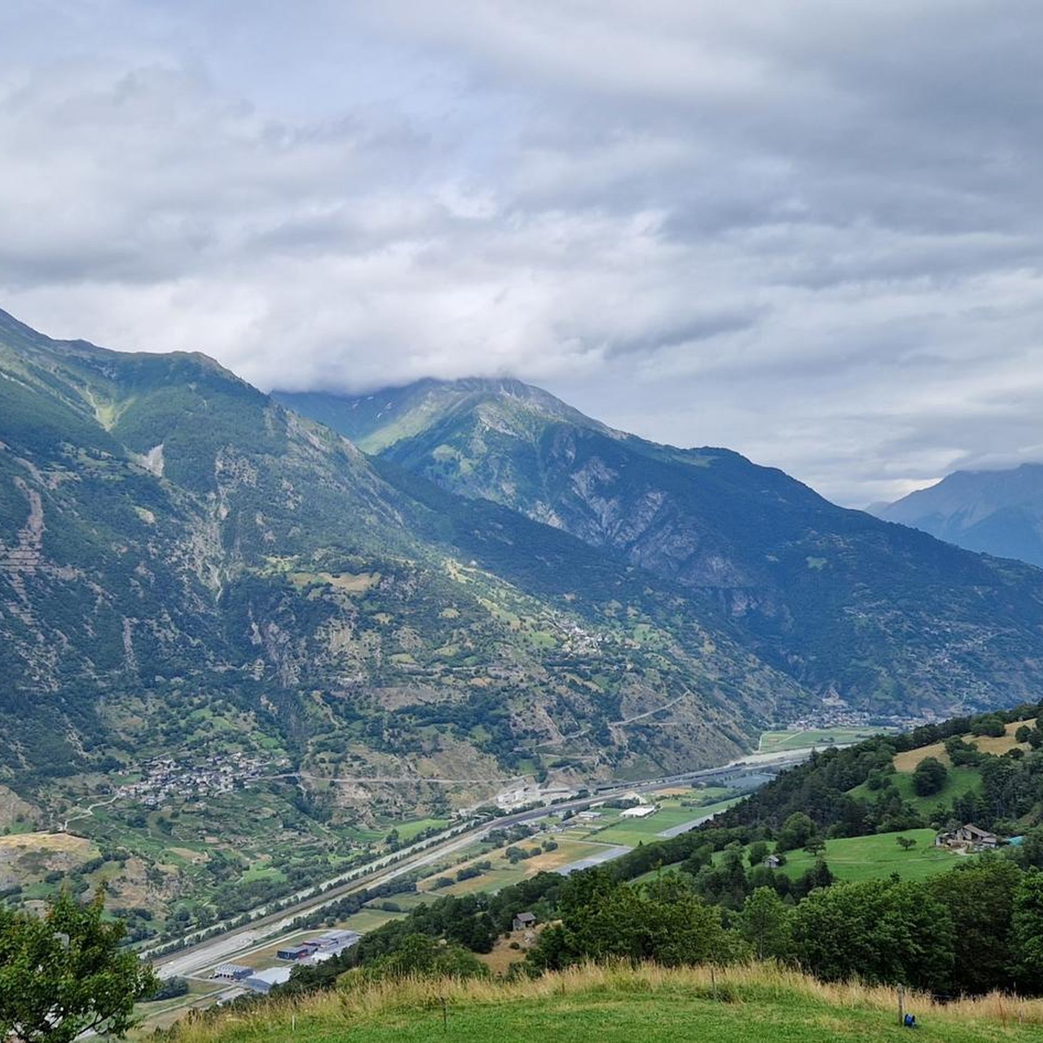
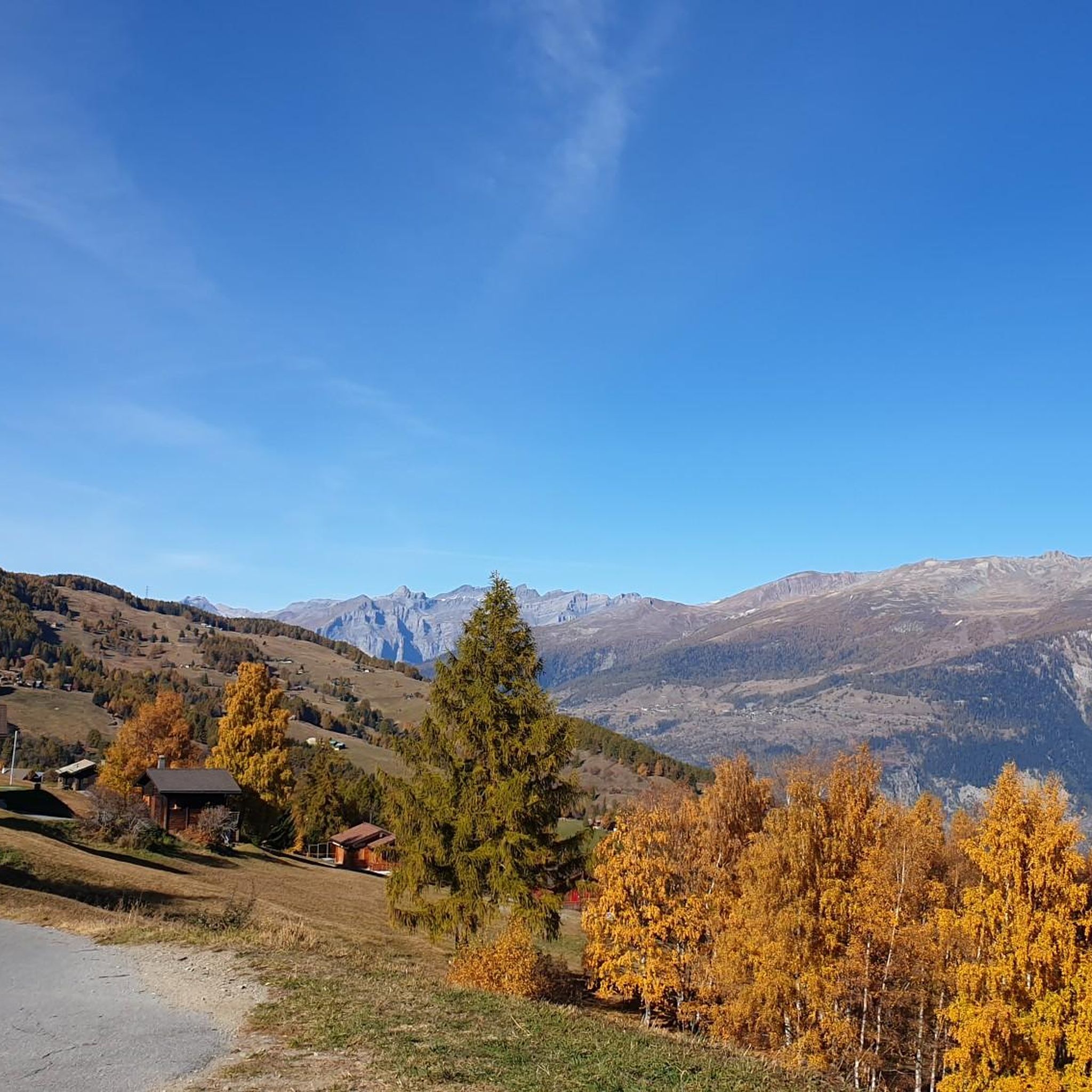
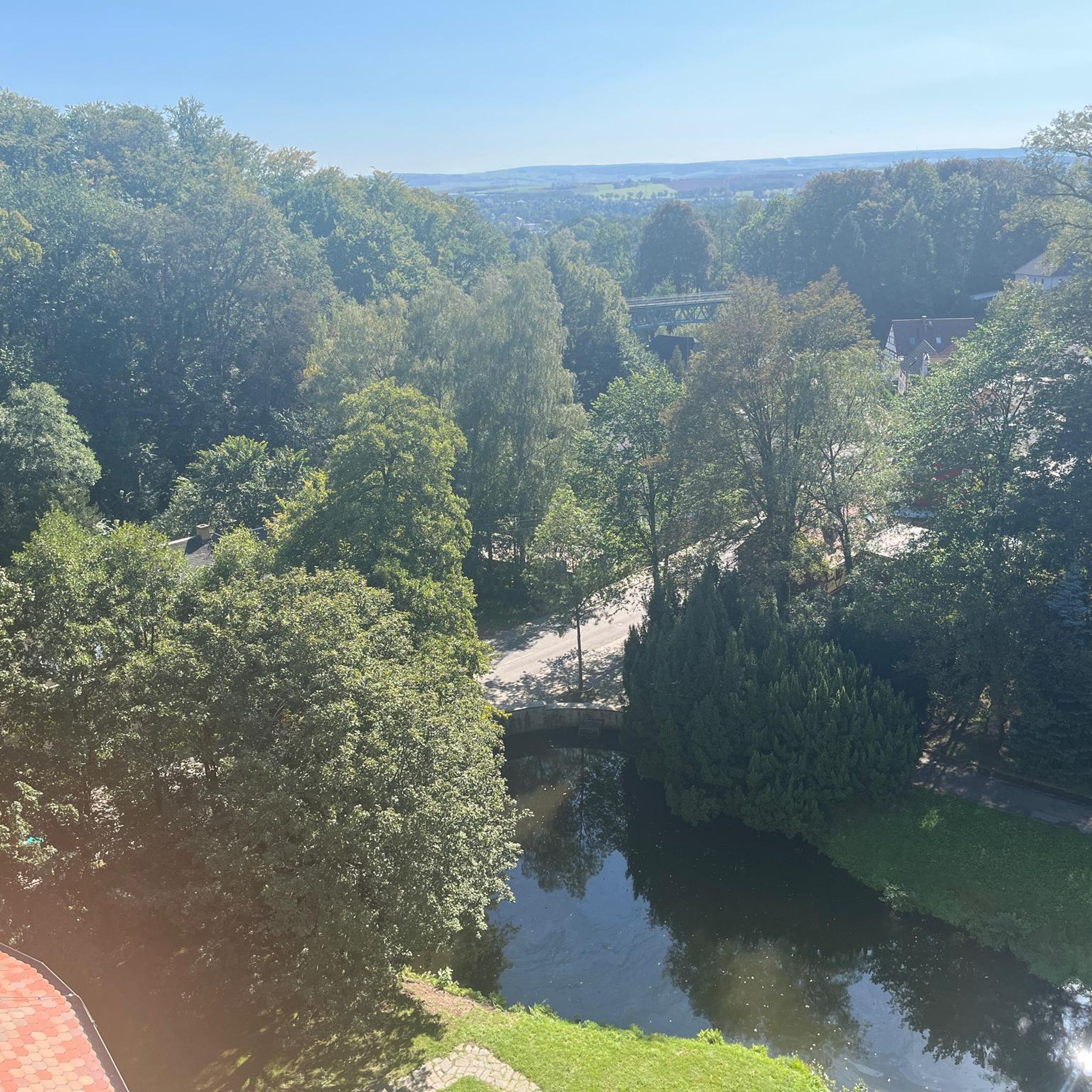
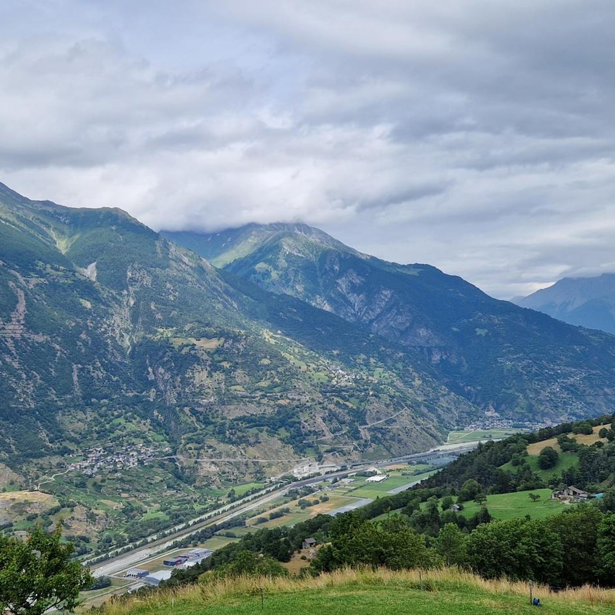


Tips from the Community

The "Stand" is one of the region's landmarks. It is the highest point on the Moosalp high plateau and offers you an unbelievable panoramic view over the entire Upper Valais and twelve four-thousand-meter peaks. The "Swing the World" swing on the Moosalp promises fun and freedom high above the peaks. Amidst the impressive mountain landscape, you gently swing towards the sky and immerse yourself in an unforgettable experience. Leave everyday life behind, feel the wind in your hair, and enjoy the breathtaking view.
2
0

The inn has up to 80 seats in the dining room and additionally a large sun terrace as well as a lounge area. It is only open during the summer season. Further information and opening hours can be found here: https://www.dorbia.ch/unser-restaurant
2
0


A must for all children, big and small. Beautifully situated in the forest, Robi's Forest Play Park in Grächen is highly recommended. 👌
1
0


Beautiful little valley
0
0

The path leads beautifully around the glacier reservoir with wonderful views of the glacier
1
0

The cream cakes on the Moosalp are always a treat. Unfortunately, I had poor GPS reception. As a result, the route is inaccurate and the duration of this route is around 3 hours.
0
0
Frequently Asked Questions
How many mountaineering routes are available around Unterbäch?
The Unterbäch region, particularly the Augstbord area, offers an extensive network of over 250 kilometers of marked hiking trails, with 13 dedicated mountaineering routes available on komoot. These routes cater to various skill levels, from challenging alpine tours to more accessible mountain paths.
Are there easy mountaineering routes suitable for beginners in Unterbäch?
Yes, there are routes suitable for beginners. For a more accessible experience, consider the Stand Viewpoint – Lake Breitmatten loop from Moosalp. This easy route covers 6.3 km and offers beautiful views without the demanding elevation of more advanced tours.
What are some challenging mountaineering routes for experienced alpinists?
For experienced mountaineers seeking a significant challenge, the Wiwanni Hut – Wiwannihorn (3,001 m) loop from Ausserberg is a difficult 9.9 km route leading to a 3,001-meter peak. Another demanding option is the Mountain restaurant Dorbia Moosalp – Moosalp Restaurant loop from Moosalp, which features significant elevation changes over 12.5 km.
Are there any circular mountaineering routes in the area?
Yes, many of the mountaineering routes around Unterbäch are designed as loops, allowing you to start and end at the same point. An example is the View of Tête de Milon – Turtmannhütte SAC loop from Sänntum, a difficult 10.7 km path that offers stunning views and reaches the Turtmann Hut.
What kind of terrain can I expect on mountaineering routes around Unterbäch?
The terrain around Unterbäch is incredibly diverse, ranging from cool spruce and larch forests to fragrant Alpine meadows and barren rocky ridges. You'll encounter varied landscapes, including historic irrigation channels known as Suons, and high alpine environments with panoramic views of peaks like the Bietschhorn.
What natural features or landmarks can I see along the routes?
Mountaineering routes in Unterbäch offer breathtaking natural features and landmarks. You can experience stunning views from points like the Hohegga lookout, or explore high alpine passes such as the Augstbord Pass and Meidpass. The region is also known for its traditional irrigation channels, the Suons, which many trails follow.
Are there any mountain huts or places to rest along the trails?
Yes, the region features mountain huts that serve as excellent bases or resting points. The Turtmann Hut, for instance, is located at 2,519 meters and is a known base for glacier expeditions. You might also find mountain restaurants like the Mountain restaurant Dorbia Moosalp along some routes.
What is the best time of year for mountaineering in Unterbäch?
The summer season is generally the best time for mountaineering in Unterbäch, offering optimal weather conditions for exploring the high alpine trails. The region is known for its sunny high plateau, providing clear views and pleasant temperatures for ascents.
What do other mountaineers enjoy most about the routes in Unterbäch?
The mountaineering routes in Unterbäch are highly rated by the komoot community, with an average score of 4.7 stars from over 20 reviews. Mountaineers often praise the diverse terrain, the stunning panoramic views of peaks like the Bietschhorn, and the well-maintained trails that cater to various difficulty levels.
Can I bring my dog on the mountaineering trails in Unterbäch?
Many trails in the Valais canton are dog-friendly, but it's always advisable to check local regulations for specific routes regarding leash requirements. The diverse landscapes, from forests to meadows, offer great opportunities for you and your canine companion to explore the mountains together.
Are there family-friendly mountaineering options in Unterbäch?
While many mountaineering routes are challenging, the extensive trail network in the Augstbord region does include options suitable for families. These typically involve less elevation gain and shorter distances, allowing for a more relaxed mountain experience. Always check the difficulty rating and distance before setting out with children.
Where can I park when accessing mountaineering routes in Unterbäch?
Parking facilities are generally available at common starting points for trails, such as in Unterbäch village itself or at popular access points like Moosalp. It's recommended to check specific route descriptions for detailed parking information to ensure convenient access to your chosen mountaineering adventure.
Can I reach mountaineering trails in Unterbäch using public transport?
Unterbäch is accessible by public transport, and some trailheads can be reached via bus connections from nearby towns. For example, Moosalp, a popular starting point for several routes, can be reached from Unterbäch. Planning your journey with local bus schedules is recommended to access specific mountaineering trails.
Most popular routes around Unterbäch
Most popular attractions around Unterbäch

Get inspired with the komoot mobile app


Explore more
Browse the best Mountain Hikes & Routes in other regions.
