Röthenbach im Emmental
Röthenbach im Emmental
Top 20 Natural Monuments around Röthenbach im Emmental
Best natural monuments around Röthenbach im Emmental are found in Switzerland's Emmental region, characterized by its picturesque hilly landscape and extensive forests. The area offers diverse natural environments, including prominent natural points of interest and viewpoints. This region provides opportunities for exploring intact landscapes and experiencing tranquility.
Best natural monuments around Röthenbach im Emmental
- The most popular natural monuments is Sigriswiler Rothorn, a summit that offers impressive panoramic views of the Eiger, Mönch, and Jungfrau, the Mittelland, and Lake…
Last updated: May 14, 2026
Burgfeldstand Summit
Highlight • Summit
Highest peak of the so-called "Güggisgrat", which extends south of the Justistal over the Niederhorn to the Gemmenalphorn. Legend has it that this peak represents the ruins …
Translated by Google •
Tip by

Gemmenalphorn
Highlight • Summit
Translated by Google •
Tip by
Sign up now to discover places like this
Get recommendations on the best single tracks, peaks, & plenty of other exciting outdoor places.
Sign up for free
Sigriswiler Rothorn
Highlight • Summit
Translated by Google •
Tip by
Sichle Pass
Highlight • Mountain Pass
Translated by Google •
Tip by

Schafloch East Entrance
Highlight • Cave
Translated by Google •
Tip by
Sign up for free to discover even more natural monuments around Röthenbach im Emmental.
Sign up for free
Already have an account?
Start today with a free account
Your next adventure awaits.
Login or Signup
Popular around Röthenbach im Emmental
Tips from the Community

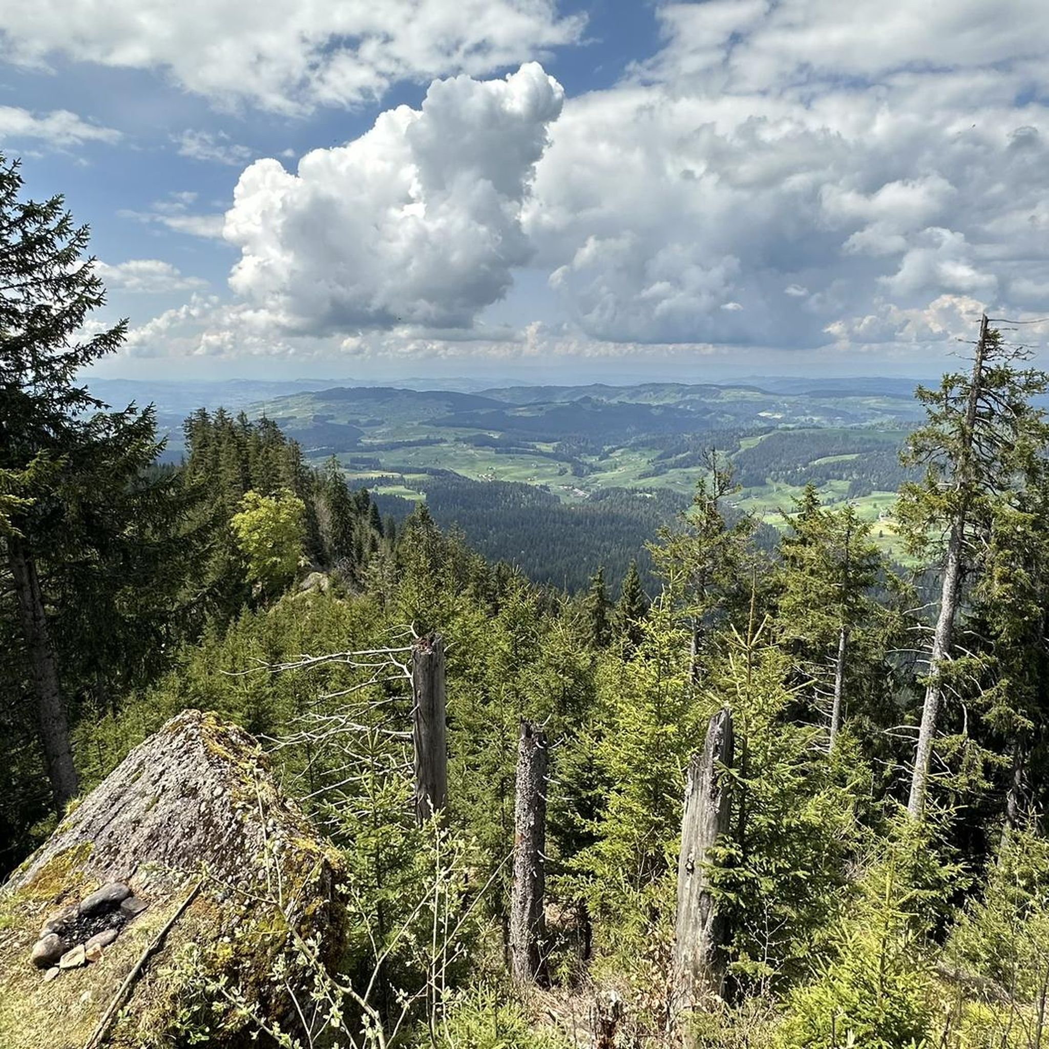
The Gemmenalphorn is a scenic summit above Lake Thun and part of the Niederhorn chain. The distinctive grassy mountain reaches an altitude of 2061 meters and offers an impressive panorama of the Eiger, Mönch, and Jungfrau, as well as the deep blue Lake Thun. The hike from the Niederhorn via the scenic ridge path is particularly popular. In summer, ibex often graze in the area, which is why the region is also highly valued by wildlife observers. Despite its height, the Gemmenalphorn is technically quite easy to reach and ideal for pleasure hikers.
2
0
The ascent from the east can be very tricky in spring, as there may still be snow in exposed places.
2
0
Beautiful and little-frequented summit with panoramic views
7
0

Difficult ascent including easy climbing but at the top everything is forgotten, the effort was worth it, the view is amazing.
0
1

The eastern entrance to the Schafloch is located directly on the ridge path between the Sigriswiler Rothorn and the Fluhhorn. Unlike the more hidden western entrance, the access here is much easier to spot and easily accessible 🪨👣. ⚠️. The tunnel itself is around 20 meters long, slightly curved, and cannot be traversed without light – a headlamp is recommended 🔦! Special feature: At the eastern exit, a spectacular view of the Justistal and the Bernese Alps awaits you ⛰️👀 – ideal for a short break or a panoramic photo 📸.
0
0
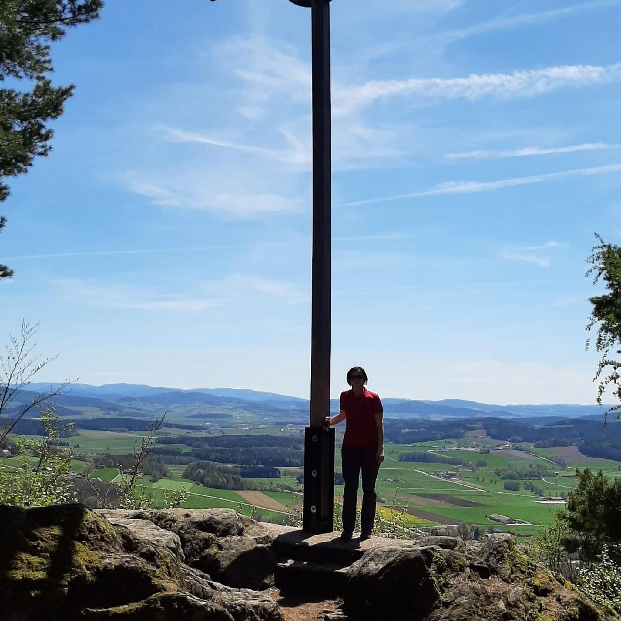
The Sigriswiler Rothorn (2,051 m) is an impressive vantage point high above Lake Thun ⛰️🌊. The ascent is mostly along the ridge and requires surefootedness and a head for heights ⚠️🥾 – caution is advised, especially in wet conditions. At the top, you'll be rewarded with a fantastic 360° panorama: views of the Eiger, Mönch, and Jungfrau, the Mittelland, and Lake Brienz and Lake Thun 🏔️👀 – ideal for a summit rest and impressive photos 📸. Equipment: Sturdy hiking boots, weather protection 🧥, provisions 🥪, water 💧. No food or drink options along the way. Recommendation: Set off early ⏰, and avoid the ridge in uncertain weather. An absolutely worthwhile summit for experienced hikers!
1
0

A headlamp must be taken with you in any case.
0
1
Wonderful vantage point. Can be reached on snowshoes from the Niederhorn mountain station in about an hour.
2
0
Frequently Asked Questions
What types of natural features can I explore around Röthenbach im Emmental?
The region around Röthenbach im Emmental offers a diverse range of natural features, including majestic summits, scenic mountain passes, and unique geological formations like caves. You can experience expansive panoramic views from peaks such as Burgfeldstand Summit and Gemmenalphorn, or discover the fascinating Schafloch East Entrance, a natural ice cave extended into a tunnel. The area is characterized by its picturesque hilly landscape and extensive forests.
Are there good hiking opportunities near the natural monuments?
Yes, Röthenbach im Emmental is an excellent base for hiking. The intact landscapes offer numerous trails suitable for various skill levels. You can find detailed information and routes in the Hiking around Röthenbach im Emmental guide. Popular options include the moderate 'Bench With View of the Alps – Chuderhüsi Tower loop' or the easier 'Restaurant Chuderhüsi – Würzbrunnen Church loop'.
What are some of the most scenic viewpoints in the area?
For breathtaking vistas, consider visiting the Sigriswiler Rothorn, which provides impressive panoramic views of the Eiger, Mönch, Jungfrau, the Mittelland, and Lakes Brienz and Thun. Another excellent spot is the Burgfeldstand Summit, known for its magnificent panoramic point. The Blueme Observation Tower, though not listed as a highlight, also offers expansive views from the Jura Mountains to the Bernese Alps.
Are there any natural monuments suitable for families?
Many of the natural monuments and surrounding trails are suitable for families, depending on the children's age and hiking experience. The Burgfeldstand Summit is noted as being easy to reach, making it a rewarding destination. For general family-friendly outdoor activities, exploring the numerous forests and gentle streams provides a peaceful experience. Always check specific route difficulties before heading out.
What is the best time of year to visit the natural monuments around Röthenbach im Emmental?
The natural monuments around Röthenbach im Emmental are beautiful year-round. Spring and autumn offer pleasant temperatures for hiking and vibrant scenery. Summer is ideal for longer excursions, while winter transforms the landscape into a serene, snow-covered wonderland, though some higher-altitude paths might require appropriate gear or be less accessible. The Schafloch East Entrance, being a cave, offers a unique experience regardless of the season, though a lamp is essential.
Can I go cycling near these natural monuments?
Absolutely. The Emmental region is well-suited for cycling, with routes that allow you to explore the picturesque landscape. You can find various cycling tours in the Cycling around Röthenbach im Emmental guide. Options range from moderate to difficult, such as the 'Dorfbrücke Eggiwil – View of Niesen loop' or the challenging 'Gasthof zum Löwen Schangnau – Röthenbach Countryside Views loop'.
What do visitors enjoy most about the natural monuments in this region?
Visitors frequently highlight the impressive panoramic views from the summits and passes, the tranquility of the intact landscapes, and the unique experiences offered by geological features like the Schafloch East Entrance. The opportunity to connect with nature, enjoy peaceful walks, and capture stunning photographs are also highly valued, as evidenced by the numerous photos and upvotes from the komoot community.
Are there any historical or unique geological sites among the natural monuments?
Yes, the Schafloch East Entrance is a notable example, being a natural ice cave that was historically extended by the Swiss Army into a tunnel. This approximately 1000 m long walkable tunnel offers a unique underground experience. Additionally, the Burgfeldstand Summit is associated with a legend suggesting it represents the ruins of a destroyed castle, with rocky outcrops resembling collapsed quarry stone walls.
How accessible are the natural monuments by public transport?
While specific public transport details for each monument vary, the region generally offers options to reach starting points for hikes and explorations. For example, the Burgfeldstand Summit is noted as being easily accessible thanks to a railway and comfortable path. It's advisable to check local public transport schedules for the most convenient routes to your chosen destination.
Are there any running trails available near the natural monuments?
Yes, for those who enjoy running, there are several trails in the vicinity of Röthenbach im Emmental. You can explore various routes in the Running Trails around Röthenbach im Emmental guide. Options include easy loops like 'Running loop from Wachseldorn' or moderate ones such as 'Erdwerk Frauets loop from Bowil'.
What should I wear when visiting the natural monuments?
Given the varied terrain and weather conditions in the Emmental region, sturdy hiking boots are highly recommended for stability and comfort on trails. Layered clothing is advisable to adapt to changing temperatures, and weather protection (rain jacket, sun hat) is always a good idea. For cave explorations like the Schafloch East Entrance, a lamp is essential as it is pitch dark inside.
Most popular routes around Röthenbach im Emmental
Most popular attractions around Röthenbach im Emmental

Get inspired with the komoot mobile app


Explore more
Extend your search for the best caves by checking out these guides of the top ones around Röthenbach im Emmental:
