The best walks and hikes around Röthenbach im Emmental
4.5
(320)
1,965
hikers
25
hikes
Hiking around Röthenbach im Emmental offers diverse experiences within Switzerland's Emmental region, characterized by its distinctive hilly landscape and expansive forests. Approximately 47% of the area is woodland, providing numerous trails through varied terrain. The region features gently rolling hills and panoramic views, often including the distant Bernese Alps. The Röthenbach stream also flows through the area, contributing to the picturesque scenery.
Best hiking trails around Röthenbach im Emmental
- The most popular hiking route is Bench With View of the Alps – Chuderhüsi Tower loop from Aussichtsturm Chuderhüsi, a 5.2 miles (8.3 km) trail that takes 2 hours 36 minutes to complete, offering views of the Bernese Alps from the Chuderhüsi Tower.
- Another top favourite among local hikers is Restaurant Chuderhüsi – Würzbrunnen Church loop from Gauchern, an easy 4.1 miles (6.5 km) path. This route passes by the historic Würzbrunnen Church and traditional Emmental houses.
- Local hikers also love the Schallenberg Pass loop from Oberei, a 6.1 miles (9.9 km) trail leading through the Emmental hills, often completed in about 3 hours.
- Hiking around Röthenbach im Emmental is defined by its hilly terrain, dense forests, and panoramic views of the Bernese Alps. The network offers options for easy, moderate, and difficult routes, catering to various ability levels.
- The routes in Röthenbach im Emmental are highly rated by the komoot community with an average score of 4.5 stars from over 270 reviews. More than 1800 hikers have used komoot to explore Röthenbach im Emmental's varied terrain.
Last updated: September 30, 2026
4.6
(15)
73
hikers
7.87km
02:27
300m
310m
Moderate hike. Good fitness required. Easily-accessible paths. Suitable for all skill levels.
4.0
(8)
43
hikers
9.94km
03:01
320m
320m
Moderate hike. Good fitness required. Easily-accessible paths. Suitable for all skill levels.

5.0
(5)
20
hikers
6.55km
01:59
230m
220m
Easy hike. Great for any fitness level. Easily-accessible paths. Suitable for all skill levels.
5.0
(2)
9
hikers
Moderate hike. Good fitness required. Easily-accessible paths. Suitable for all skill levels.
5.0
(3)
18
hikers
Easy hike. Great for any fitness level. Easily-accessible paths. Suitable for all skill levels.
Get access to more routes and recommendations from other explorers.
Already have an account?
Our route recommendations are based on thousands of hikes, rides, and runs completed by other people on komoot.
Start today with a free account
Your next adventure awaits.
Tips from the Community


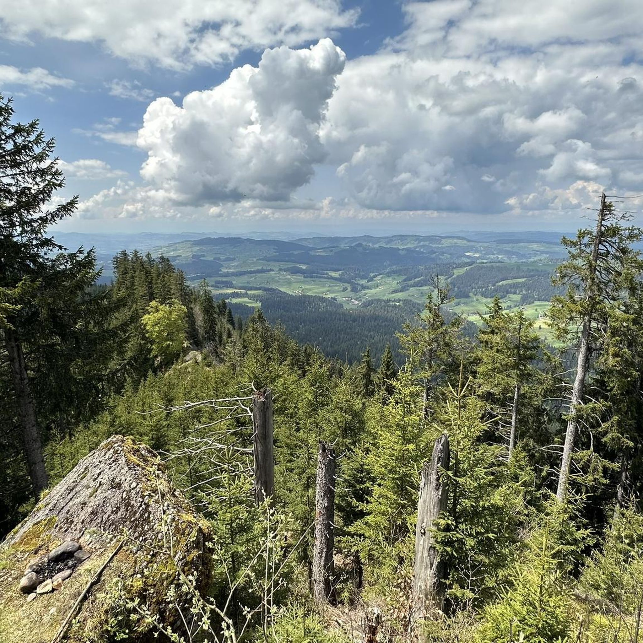
On August 21, 1964, a Venom of the Swiss Air Force crashed on the Schallenberg. On board, military pilot Michel Tissot. Today, not far from the crash site, an aviation monument (tombstone) commemorates this tragic accident.
0
0
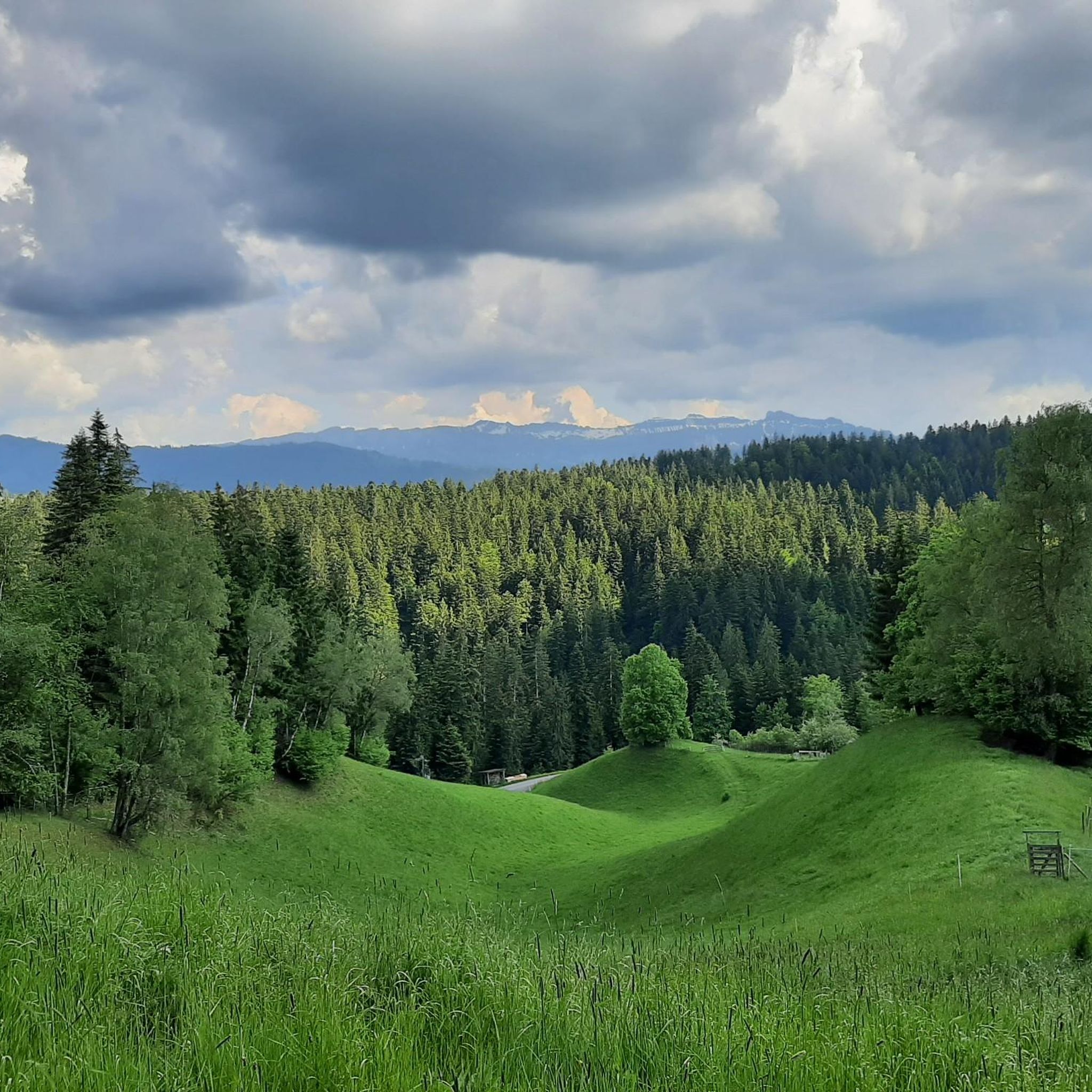
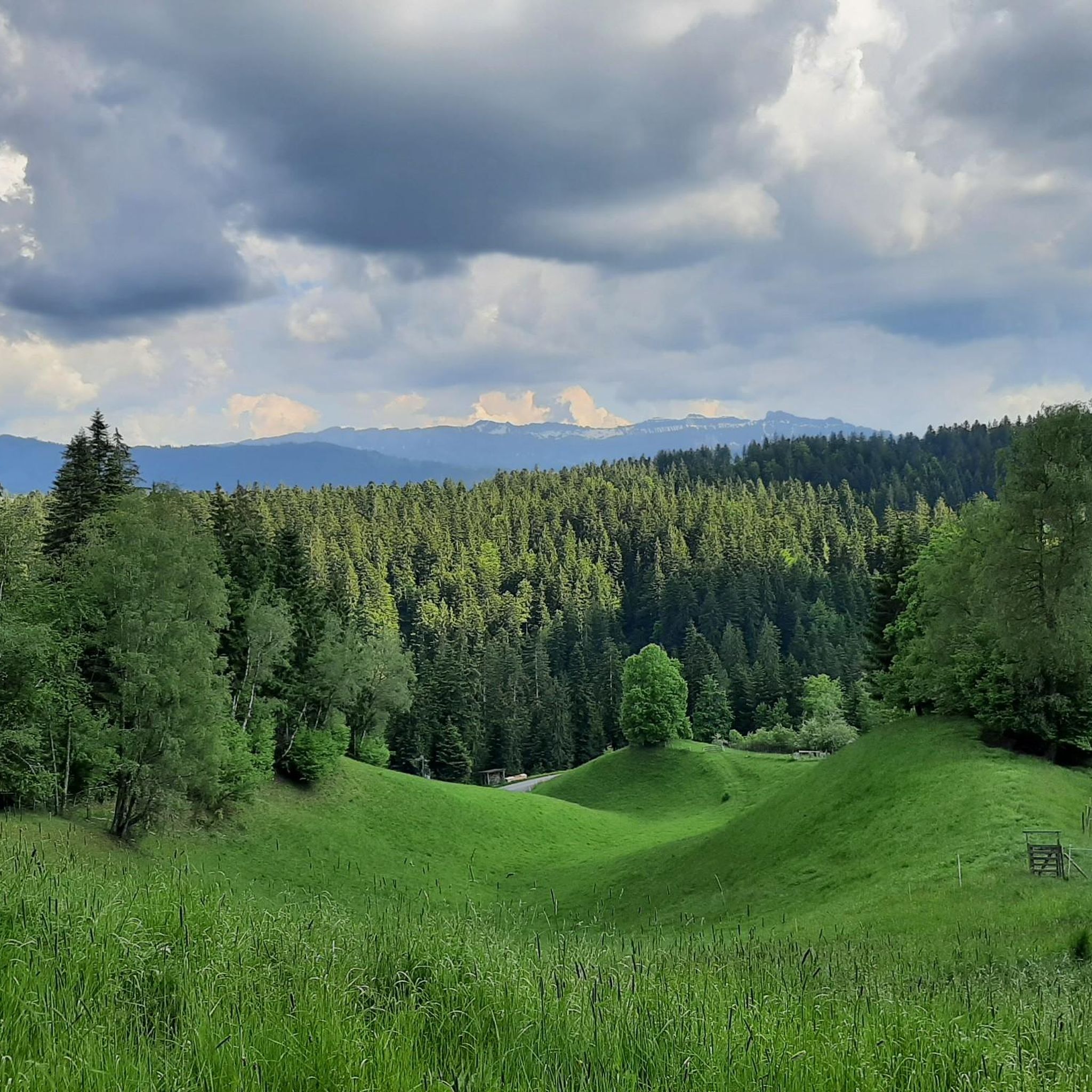
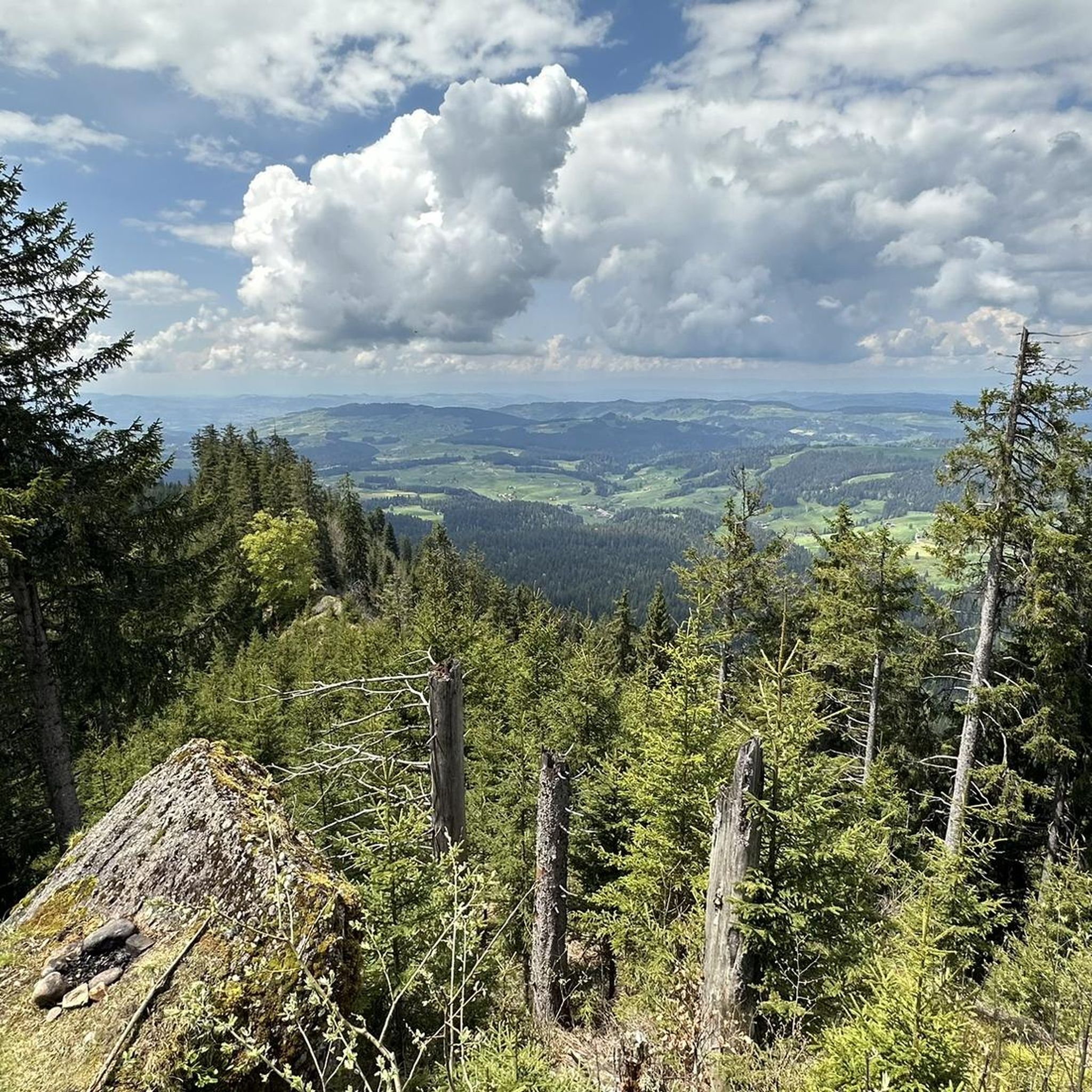
The signal is a triangulation point, a relic from the 1903 land survey. In the 1990s, GPS made the old surveying technology and thus also its visible remnants obsolete. The municipality of Röthenbach – when it came to the potential removal of the "signal" – advocated for the preservation of this "cultural asset of engineering". Two park benches invite you to relax and enjoy the unique view over the Emmental, the Oberland mountain world, and the striking Stockhorn and Gantrisch chains.
0
0
In 1942, a German fighter pilot crashed here with his aircraft during a training flight over the Schallenberg pass, in dense fog. A monument with a detailed explanation adorns the approximate crash site today. It is located along the hiking trail.
0
0
The Schallenbergpass is the preferred route for all those who want to travel from Lake Thun into the Emmental and further towards Entlebuch. In summer, it's very busy here, as the Gabelspitz restaurant at the pass summit is very popular with bikers, car drivers, cycling enthusiasts, and hikers. The inn is particularly popular with bikers. From the elevation behind the restaurant, you can enjoy a fantastic panoramic view towards the Alps. Thanks to well-organized snow removal, the Schallenbergpass is also open in winter.
0
0
The Röthenbach church is located just a few meters from the village center. It was built between 1903-05. A memorial plaque at the entrance commemorates the influenza epidemic at the beginning of the 20th century.
0
0
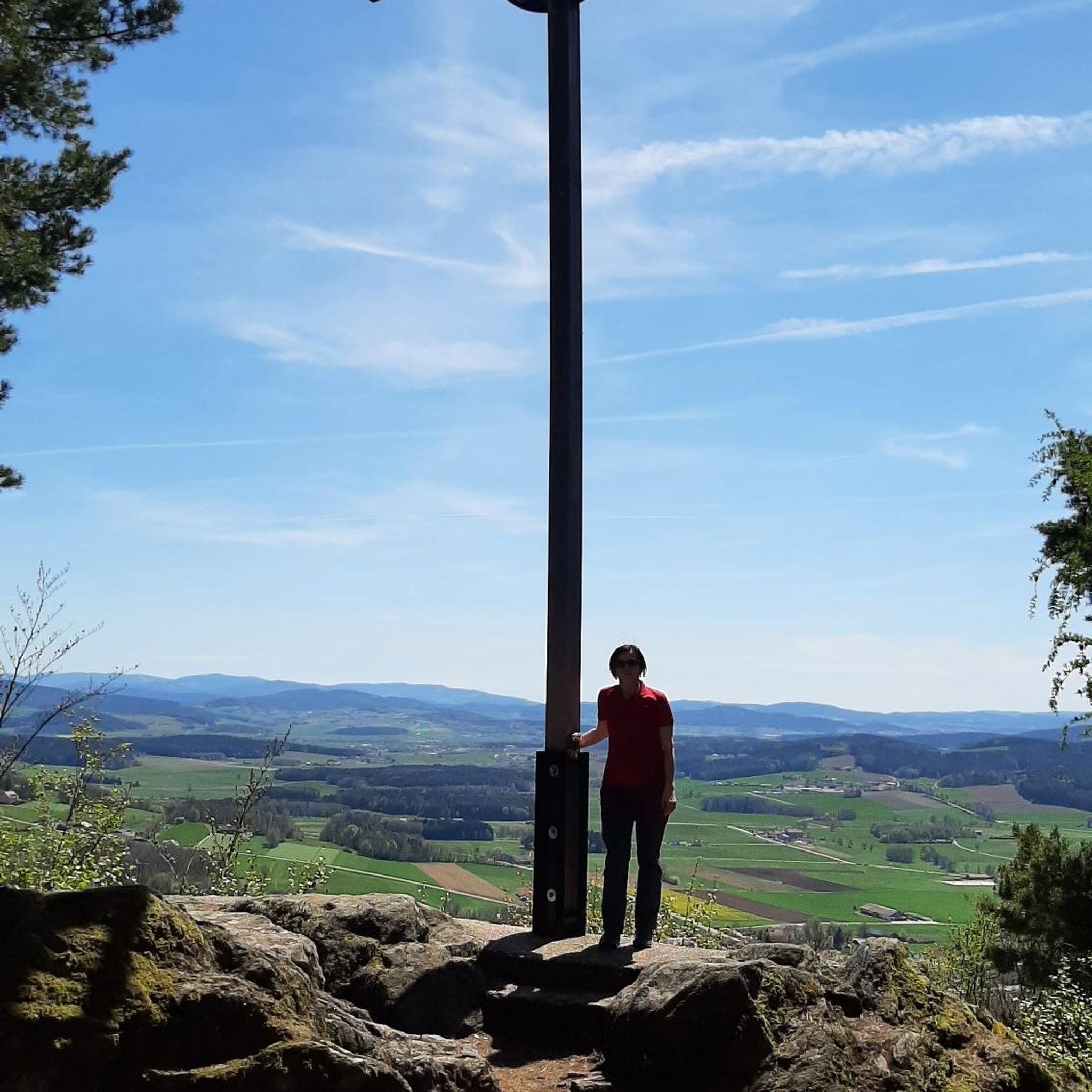
Attention! This place is not a "chapel" but rather a geographical triangulation point from 1903!
0
0
The "Signal", a triangulation point from 1903, still adorns the summit today. Thanks to modern navigation, its usefulness long belongs to past times. Nevertheless, the municipality of Röthenbach, on whose ground it stands, maintains it for conservation reasons. The view extends far across the Emmental to the Oberländer Alps, the Stockhorn and Gantrisch chains, and with good visibility also to the Chasseral mountains, with its distinctive telecommunications antenna. The highest viewing platform of the Chuderhüsiturm can also be clearly seen. Two benches, by the way, invite you to relax. The place is rather unsuitable for bikers, as the paths leading there are hindered by a multitude of narrow pasture crossings.
0
0
Frequently Asked Questions
How many hiking trails are available in Röthenbach im Emmental?
Röthenbach im Emmental offers a diverse network of over 25 hiking trails. These routes cater to various preferences, ranging from easy strolls to more challenging treks through the region's characteristic hilly landscape and dense forests.
What kind of difficulty levels can I expect on the hiking trails in Röthenbach im Emmental?
The trails in Röthenbach im Emmental are well-balanced, with 10 easy routes perfect for a relaxed outing, 14 moderate trails offering a good challenge, and 1 difficult route for experienced hikers. This variety ensures there's something for every fitness level.
Are there any family-friendly hiking options in Röthenbach im Emmental?
Yes, Röthenbach im Emmental is a great destination for families. There are 10 easy routes available, many of which are suitable for all ages. For example, the Restaurant Chuderhüsi – Würzbrunnen Church loop from Gauchern is an easy 6.5 km path that passes by the historic Würzbrunnen Church and traditional Emmental houses, making it an enjoyable option for families.
What are the main natural features and landmarks I can see while hiking in Röthenbach im Emmental?
Hikers in Röthenbach im Emmental can enjoy a landscape of rolling hills, expansive forests, and picturesque views. Key landmarks include the 40-meter high Chuderhüsi Tower, offering magnificent 360-degree panoramic views of the Bernese Alps. You can also visit the historic Würzbrunnen Church, a 1000-year-old wooden church, which is a significant cultural landmark along several routes.
Are there any circular hiking routes available in the region?
Yes, many of the trails in Röthenbach im Emmental are circular, allowing you to start and end at the same point. Popular circular routes include the Bench With View of the Alps – Chuderhüsi Tower loop from Aussichtsturm Chuderhüsi and the Schallenberg Pass loop from Oberei, both offering scenic experiences through the Emmental hills.
Can I bring my dog on the hiking trails in Röthenbach im Emmental?
Generally, dogs are welcome on hiking trails in Röthenbach im Emmental. The region's extensive forests and open landscapes provide plenty of opportunities for walks with your canine companion. However, it's always advisable to keep dogs on a leash, especially when passing through pastures with livestock or near protected natural areas, and to respect local regulations.
What kind of views can I expect on hikes in Röthenbach im Emmental?
The region is renowned for its spectacular panoramic views. From elevated points, hikers can often see the majestic Bernese Alps, including the famous Eiger, Mönch, and Jungfrau peaks, on clear days. The contrast between the rolling Emmental hills and the distant, snow-capped Alps creates breathtaking vistas, particularly from spots like the Chuderhüsi Tower.
Are there any gorges or natural monuments to explore near Röthenbach im Emmental?
Yes, the area around Röthenbach im Emmental features several impressive natural formations. You can explore the Justistal, the Eriz Valley, and the Räbloch Gorge. These offer unique landscapes and a different hiking experience compared to the open hills.
What do other hikers say about the trails in Röthenbach im Emmental?
The hiking trails in Röthenbach im Emmental are highly rated by the komoot community, with an impressive average score of 4.5 stars from over 270 reviews. Hikers frequently praise the diverse terrain, the stunning panoramic views of the Bernese Alps, and the well-maintained paths that lead through charming Emmental villages and dense forests.
Are there any routes that combine historical sites with natural beauty?
Absolutely. Many routes in Röthenbach im Emmental seamlessly blend natural beauty with historical interest. For instance, the Würzbrunnen Church – Chuderhüsi Tower loop from Röthenbach im Emmental allows you to visit the ancient Würzbrunnen Church and then ascend to the Chuderhüsi Tower for expansive views, all while traversing the scenic Emmental landscape.
What is the best time of year to go hiking in Röthenbach im Emmental?
The best time for hiking in Röthenbach im Emmental is typically from spring through autumn (April to October), when the weather is mild and the trails are clear. Spring brings lush green pastures and blooming wildflowers, while autumn offers vibrant foliage. While winter hiking is possible, some higher trails might be covered in snow, requiring appropriate gear.
Are there any places to eat or rest along the hiking trails?
Yes, you'll find opportunities for refreshments and rest. The region features traditional Emmental hamlets and some routes pass by local establishments. For example, the Restaurant Chuderhüsi – Würzbrunnen Church loop from Gauchern suggests a starting point near Restaurant Chuderhüsi, providing a convenient option for a meal or drink before or after your hike.
Most popular routes around Röthenbach im Emmental
Most popular attractions around Röthenbach im Emmental

Get inspired with the komoot mobile app


Explore more
Browse the best Hikes in other regions.
