Top 20 Natural Monuments in Altmarkkreis Salzwedel
Best natural monuments in Altmarkkreis Salzwedel are found within a diverse landscape in Germany, characterized by unique ecological features and historical significance. The region features extensive wetland areas, large natural lakes, and ancient woodlands. These sites are recognized for their ecological value and offer varied natural experiences. The area provides opportunities to explore protected natural habitats and historical landscapes.
Best natural monuments in Altmarkkreis Salzwedel
- The most popular natural monuments is Wirler Spitze and Klocksberg Dune, a natural monument…
Last updated: July 23, 2026
Arendsee Lake
Highlight • Lake
Translated by Google •
Tip by

Großer Stakenberg summit and summit telephone
Highlight • Summit
Translated by Google •
Tip by

Sign up now to discover places like this
Get recommendations on the best single tracks, peaks, & plenty of other exciting outdoor places.
Sign up for free
Arendsee Beach
Highlight • Beach
Translated by Google •
Tip by
Wirler Spitze and Klocksberg Dune
Highlight • Natural Monument
Translated by Google •
Tip by
Drömling Wetlands
Highlight • Natural
Translated by Google •
Tip by

Commemorative Stone for the Inner German Border at Kaiserwinkel–Jahrstedt
Highlight • Monument
Translated by Google •
Tip by

Access to the Green Belt (Grünes Band)
Highlight • Trail
Translated by Google •
Tip by

Drömling Information Center Kämkerhorst
Highlight • Rest Area
Translated by Google •
Tip by

Birdwatching stand at the Brietz ponds
Highlight • Rest Area
Translated by Google •
Tip by

Deutsches Eck at the confluence of the Ohre and Friedrichskanal
Highlight • River
Translated by Google •
Tip by

Sign up for free to discover even more natural monuments in Altmarkkreis Salzwedel.
Sign up for free
Already have an account?
Start today with a free account
Your next adventure awaits.
Login or Signup
Popular around Altmarkkreis Salzwedel
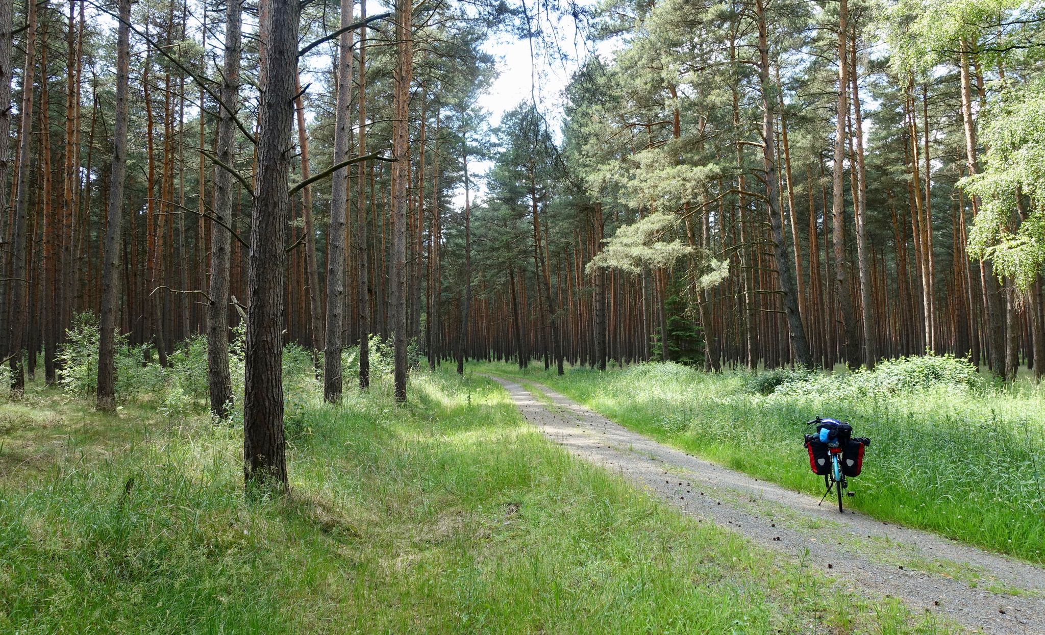
Altmark round-trip in Saxony-Anhalt
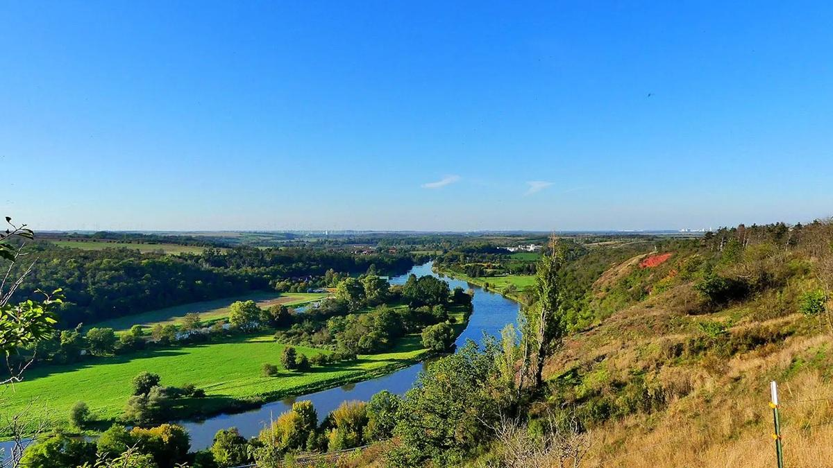
The National Natural Landscapes in Saxony-Anhalt
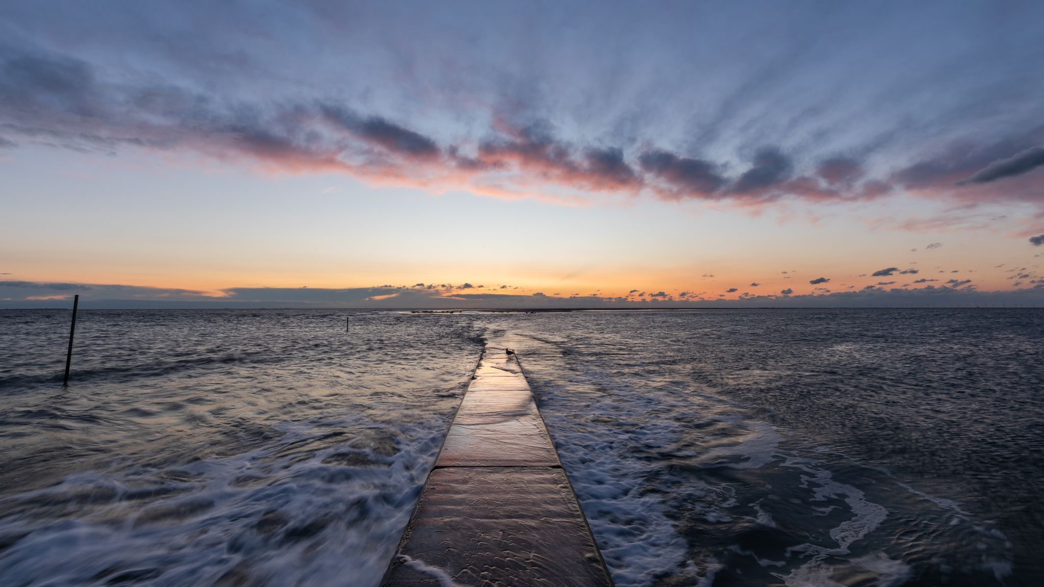
The National Natural Landscapes in Niedersachsen

#GoFurther – discover the views of Germany!
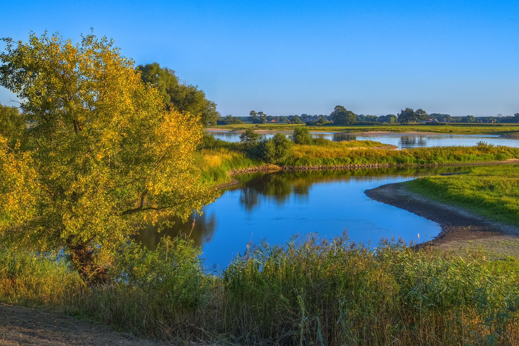
Four-country border cycle path: trace hunting at the Green belt
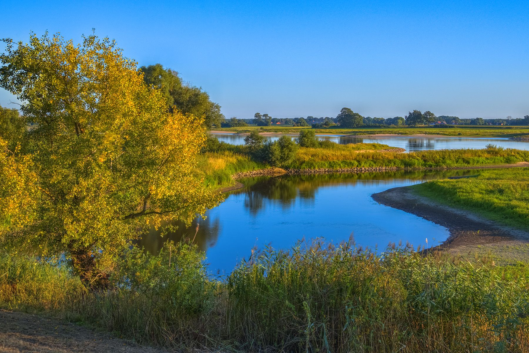
Discover the Green Belt in the Elbe-Altmark-Wendland with BUND
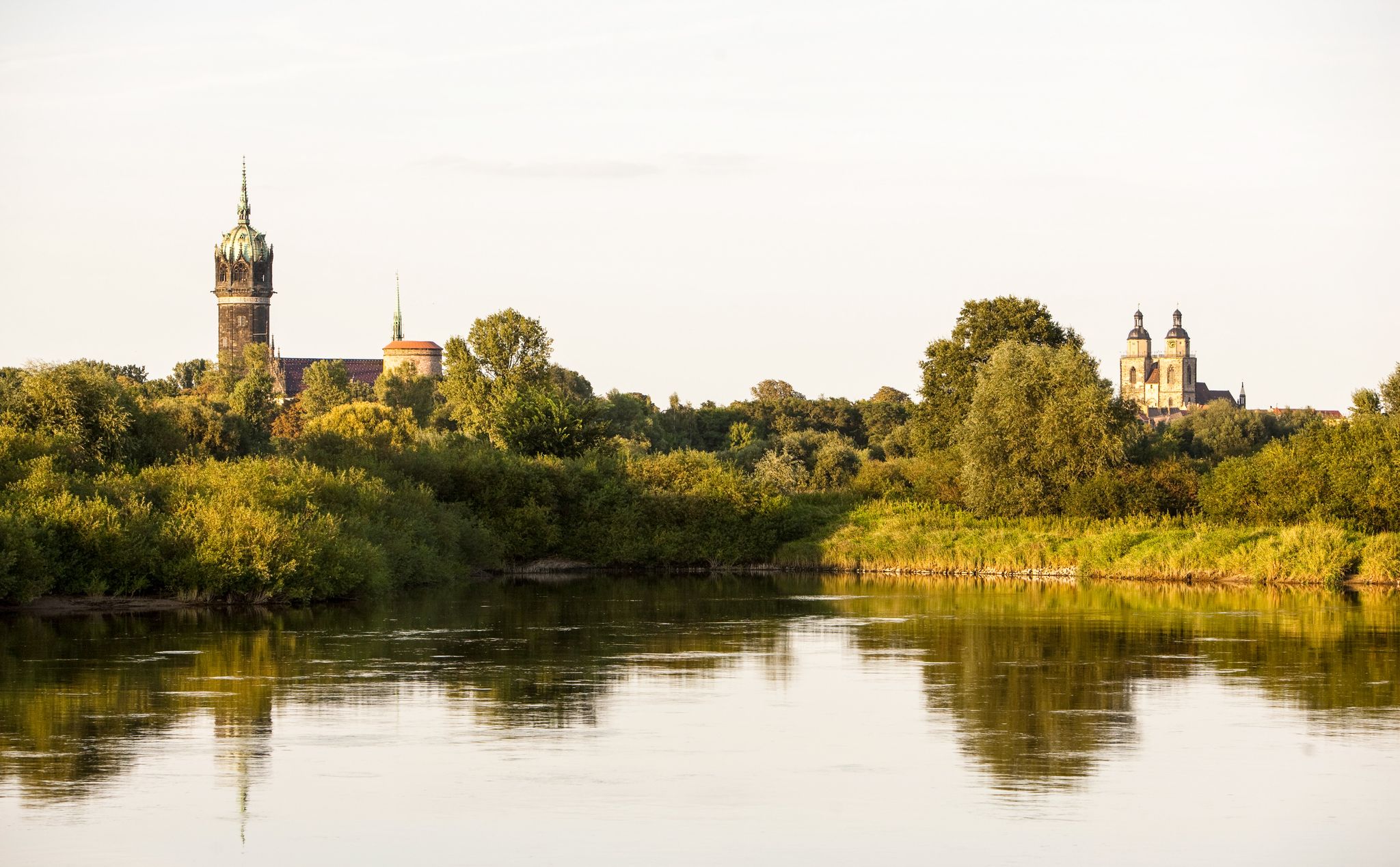
Holiday in Germany – Discover Saxony-Anhalt by bike

Discover the nature along the “Greenbelt” together with the BUND
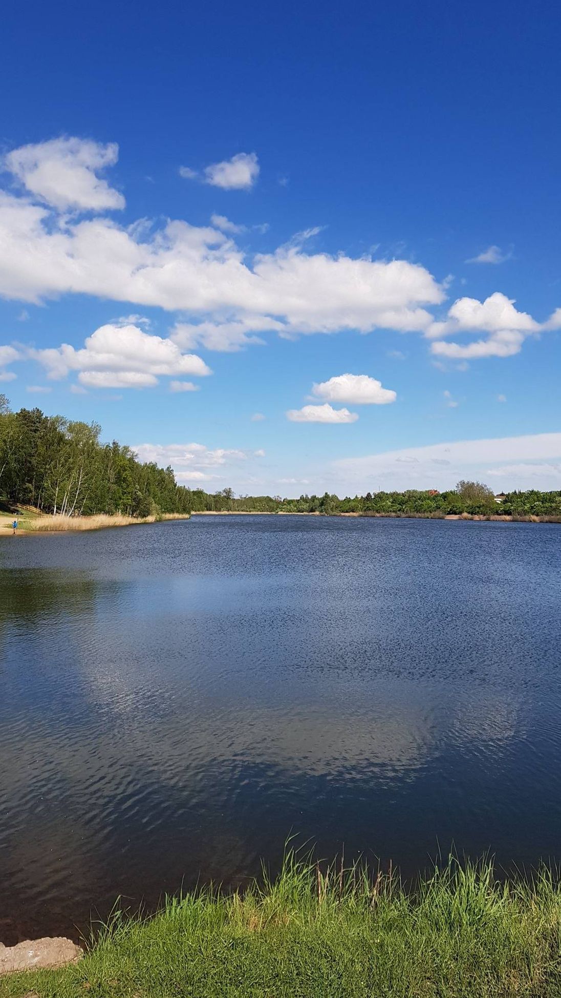
The most beautiful swimming lakes in Saxony-Anhalt
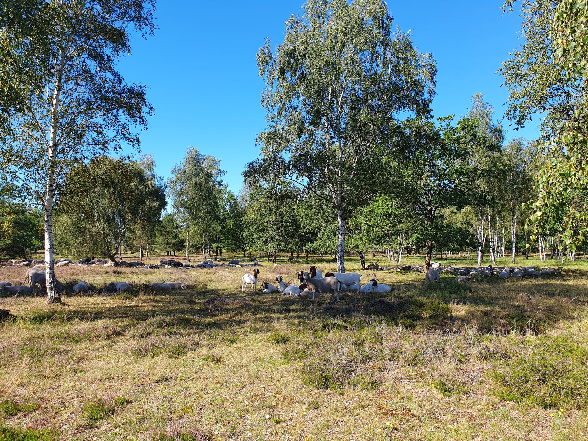
Wanderungen durch das DBU-Naturerbe Kellerberge
Other adventures in Altmarkkreis Salzwedel


Tips from the Community

At first glance, the Drömling appears almost "flat and inconspicuous", but it is hydrologically very special. The area is crisscrossed by a dense network of ditches, canals, and drainage structures. These were originally created to make the swamps partially usable. Nevertheless, a large part of the typical wetland structure has been preserved.
0
0

Pure nature in the Drömling - definitely remember binoculars!
0
0

At the Deutsches Eck, the Friedrichskanal flows into the Ohre here
0
0

On the Lower Saxony side there is a meager seating area with a good view of the inland dune.
1
0

Beautiful fine bathroom with everything that goes with it
0
0

Here a lot is explained about the origin
0
0

The Green Belt Germany is the first all-German nature conservation project: It was launched on December 9, 1989, shortly after the fall of the Berlin Wall and the peaceful revolution, on the initiative of the BUND Nature Conservation Association in Bavaria e. V. It refers to the strip of land between the former inner-German border and the border installations on the eastern side. The 1393 km long and 50-200 m wide strip of land is intended to remain a green belt or become one again. The strip of land extends from Travemünde to the border triangle near Hof. The Green Belt is the largest biotope network in Germany. Its areas and the associated over 150 nature reserves are home to more than 1200 animal and plant species that are threatened in Germany. The Green Belt Germany runs almost entirely on the eastern side of the former inner-German border. However, if border corrections were in place, it can also run through a West German state. This applies, for example, to the north-eastern bank of the Elbe in what is now Amt Neuhaus in Lower Saxony. The German Green Belt now has the status of a national natural monument in some of the federal states on whose borders it lies and is part of the Central European section of the European Green Belt. (Source: Wikipedia)
0
0

Benches are also available.
1
0
Frequently Asked Questions
What are some of the most unique natural monuments to visit in Altmarkkreis Salzwedel?
The region offers diverse natural monuments. You can explore the unique inland dune at Wirler Spitze and Klocksberg Dune, a relic from the last Ice Age and part of the Green Belt. Another interesting spot is the Großer Stakenberg summit and summit telephone, one of the highest points of the Zichtauer mountains, offering a ridge walk and a summit book.
Are there family-friendly natural monuments in Altmarkkreis Salzwedel?
Yes, several natural monuments are suitable for families. The Wirler Spitze and Klocksberg Dune offers a pleasant environment for all ages. Additionally, the Birdwatching stand at the Brietz ponds provides an engaging experience for families to observe various bird species in their natural habitat.
What kind of historical significance do some natural monuments in the region hold?
Many natural monuments in Altmarkkreis Salzwedel are intertwined with history, particularly the former inner-German border. Sites like Access to the Green Belt (Grünes Band) and Wirler Point – Green Belt Memorial highlight this past, showcasing remnants of border fences and offering insights into the region's division and subsequent natural recovery. The Commemorative Stone for the Inner German Border at Kaiserwinkel–Jahrstedt also marks this historical context.
Where can I go birdwatching in Altmarkkreis Salzwedel?
The Brietz ponds are an excellent location for birdwatching. This valuable wetland habitat is known for attracting migratory and breeding birds such as marsh harriers, snipe, and water rails. In winter, it serves as a roosting site for northern geese and whooper swans, and you might even spot cranes, otters, or beavers.
Are there any natural monuments that are also good viewpoints?
Yes, the Großer Stakenberg summit and summit telephone, one of the highest points in the Zichtauer mountains, offers scenic views. The Wirler Spitze and Klocksberg Dune also provides good vantage points, especially over Lake Arendsee. Additionally, the Dolchauer Berg, located in the heart of the Altmark, is known for its scenic vistas.
What outdoor activities can I do near the natural monuments in Altmarkkreis Salzwedel?
The region offers various outdoor activities. Near many natural monuments, you can find excellent opportunities for hiking, cycling, and mountain biking. For specific routes, you can explore guides like Hiking in Altmarkkreis Salzwedel or MTB Trails in Altmarkkreis Salzwedel. Lake Arendsee, for example, is popular for horseback riding, hiking, and cycling around its shores.
Are there any large bodies of water designated as natural monuments?
Yes, Arendsee, the largest natural lake in Saxony-Anhalt, is a significant natural attraction. Known as the 'Blue Eye of the Altmark' for its clear waters, it offers opportunities for boat trips and is surrounded by trails for hiking and cycling. The Brietzer Teiche are also important wetlands for wildlife.
What kind of protected trees can be found in Altmarkkreis Salzwedel?
The Altmarkkreis Salzwedel region is home to several individual trees designated as natural monuments due to their age, rarity, or beauty. Notable examples include the ancient Tausendjährige Eiche in Zichtau (Thousand-year-old oak), protected since 1961, and the Kroneneiche Jemmeritz. Other protected species include Ginkgo, Sumpfzypresse (Bald Cypress), Kaukasische Flügelnuß (Caucasian Wingnut), and Essbare Kastanie (Sweet Chestnut) in various locations like Gardelegen and Kloster Neuendorf.
Where can I find information or facilities within the Drömling Nature Park?
Within the extensive Drömling Nature Park, you can visit the Drömling Information Center Kämkerhorst. This center provides valuable information about the unique wetland ecosystem and its diverse species, serving as a good starting point for exploring the Drömling Biosphere Reserve.
Are there any natural monuments that are easily accessible or wheelchair-friendly?
The Commemorative Stone for the Inner German Border at Kaiserwinkel–Jahrstedt is noted as being wheelchair accessible, making it an inclusive historical and natural site to visit.
What is the best time of year to visit the natural monuments in Altmarkkreis Salzwedel?
The best time to visit depends on your interests. Spring and autumn offer pleasant temperatures for hiking and cycling, with vibrant foliage or blooming nature. Summer is ideal for activities around Lake Arendsee. Birdwatching at the Brietz ponds is particularly rewarding during migration seasons or in winter for specific species.
Can I find relaxing spots with natural features in the region?
Yes, the Künstlicher Wasserfall am Kurpark Kalbe (Milde) offers a relaxing local recreation area with an artificial waterfall and informative displays about local flora and fauna. The Deutsches Eck at the confluence of the Ohre and Friedrichskanal also provides a pleasant picnic spot under large oak trees.
Most popular routes in Altmarkkreis Salzwedel
Most popular attractions in Altmarkkreis Salzwedel

Get inspired with the komoot mobile app


Didn’t find what you were looking for?
Find even more amazing natural monuments in Altmarkkreis Salzwedel by checking out the top Highlights region by region:
Explore more
Extend your search for the best caves by checking out these guides of the top ones in Altmarkkreis Salzwedel:
