The 4 Most Amazing Peaks around Drognitz
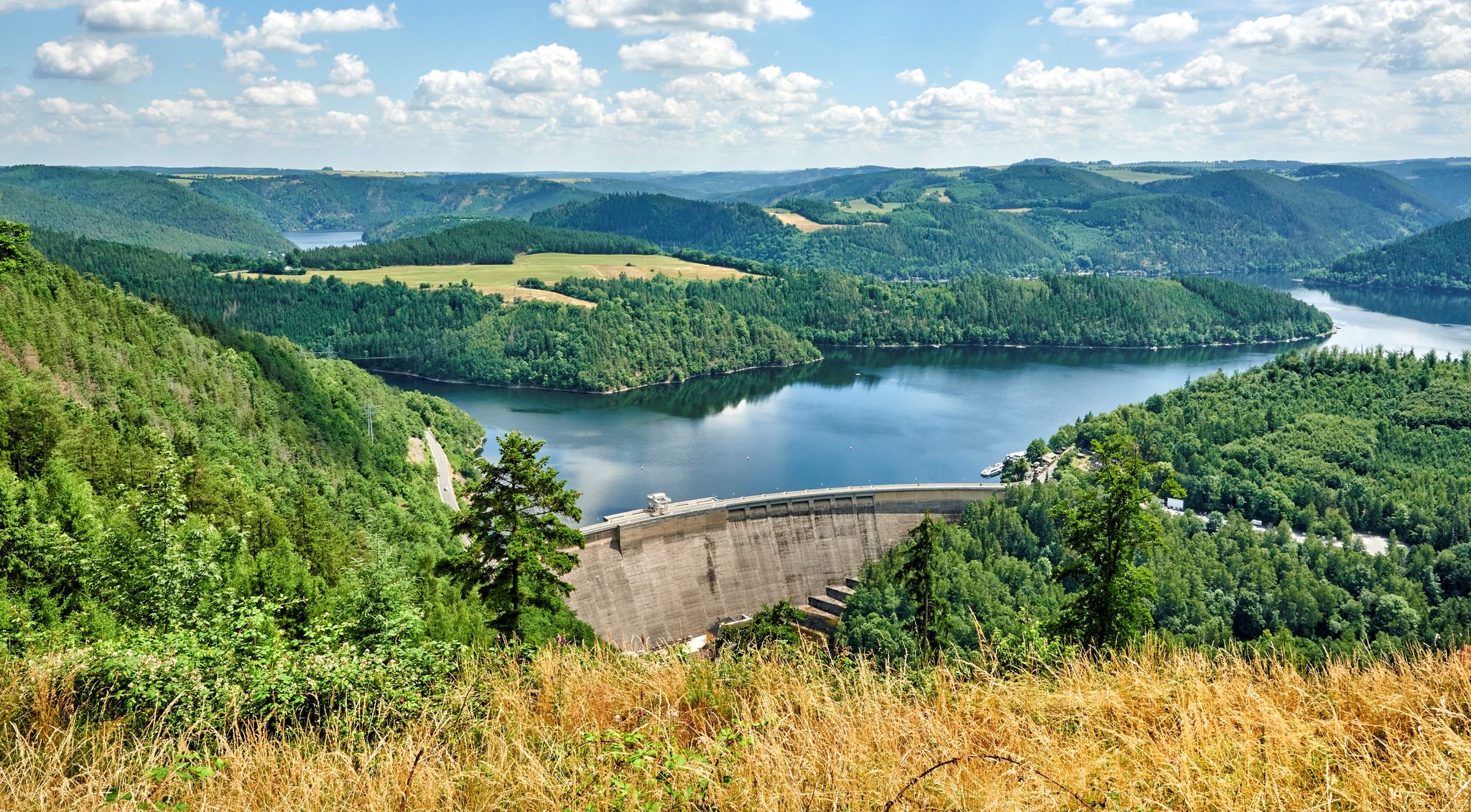
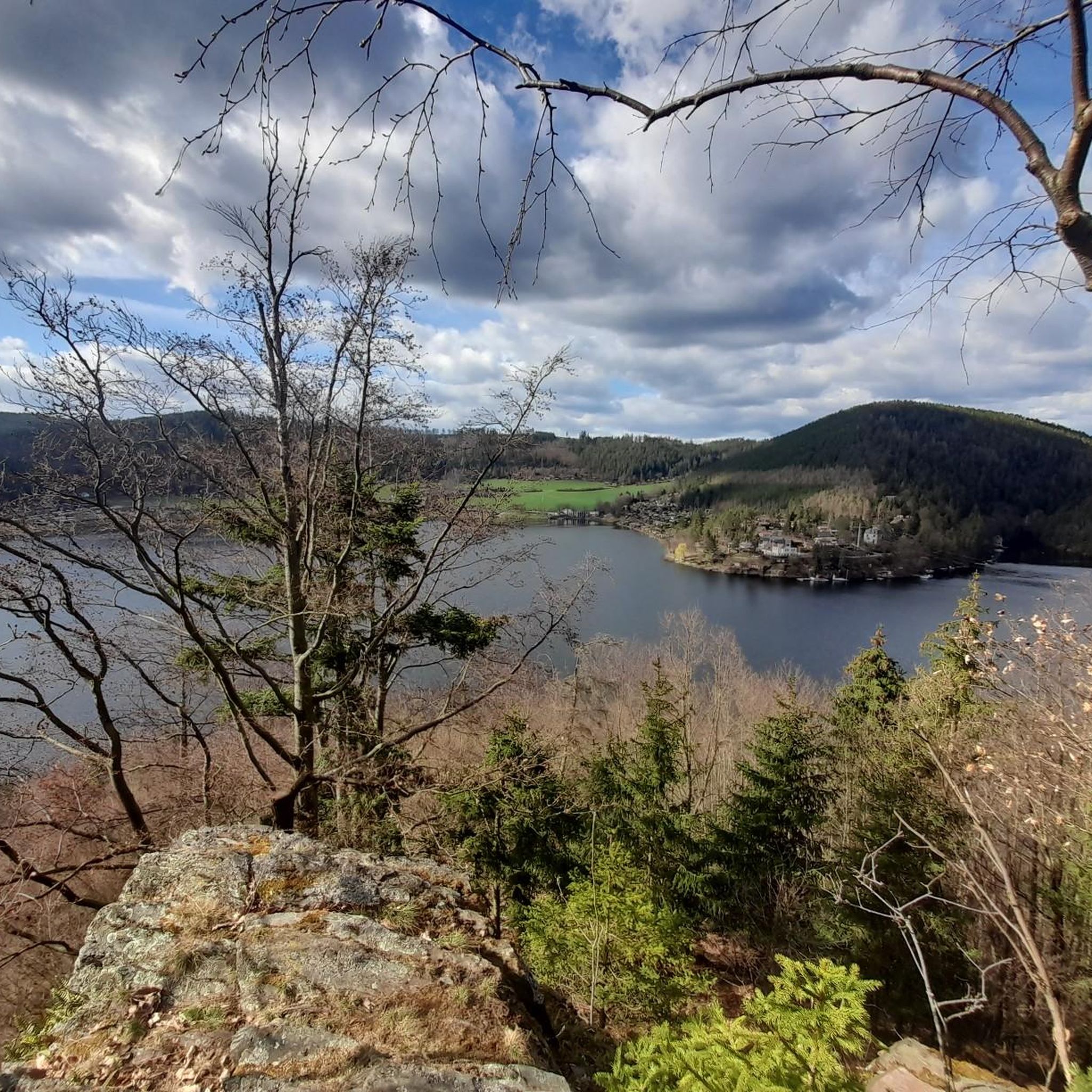
Mountain peaks around Drognitz are characterized by elevated points within a landscape of extensive woodlands, scenic valleys, and plateaus in Thuringia, Germany. While not alpine peaks, these areas offer rewarding hiking experiences and panoramic vistas, particularly over the Hohenwarte Reservoir. The region features a network of trails suitable for various fitness levels, providing opportunities to immerse in nature.
Best mountain peaks around Drognitz
- The most popular mountain peaks is Presswitzer Spitze at Hohenwarte Reservoir, a viewpoint that protrudes into…
Last updated: October 1, 2026
Pinsenberg
Highlight • Natural Monument
Translated by Google •
Tip by

Roter Berg
Highlight • Viewpoint
Translated by Google •
Tip by

Sign up now to discover places like this
Get recommendations on the best single tracks, peaks, & plenty of other exciting outdoor places.
Piffelsberg
Highlight • Summit
Translated by Google •
Tip by

Vogelherd (565 m)
Highlight • Summit
Translated by Google •
Tip by

Start today with a free account
Your next adventure awaits.
Popular around Drognitz

Around Thuringia — 7 stages through Germany's green heart

Long distance hiking trails in the Thuringian Forest
At home in the outdoors – hiking with a view in Thuringia in central Germany
Hiking around Drognitz
Road Cycling Routes around Drognitz
Cycling around Drognitz
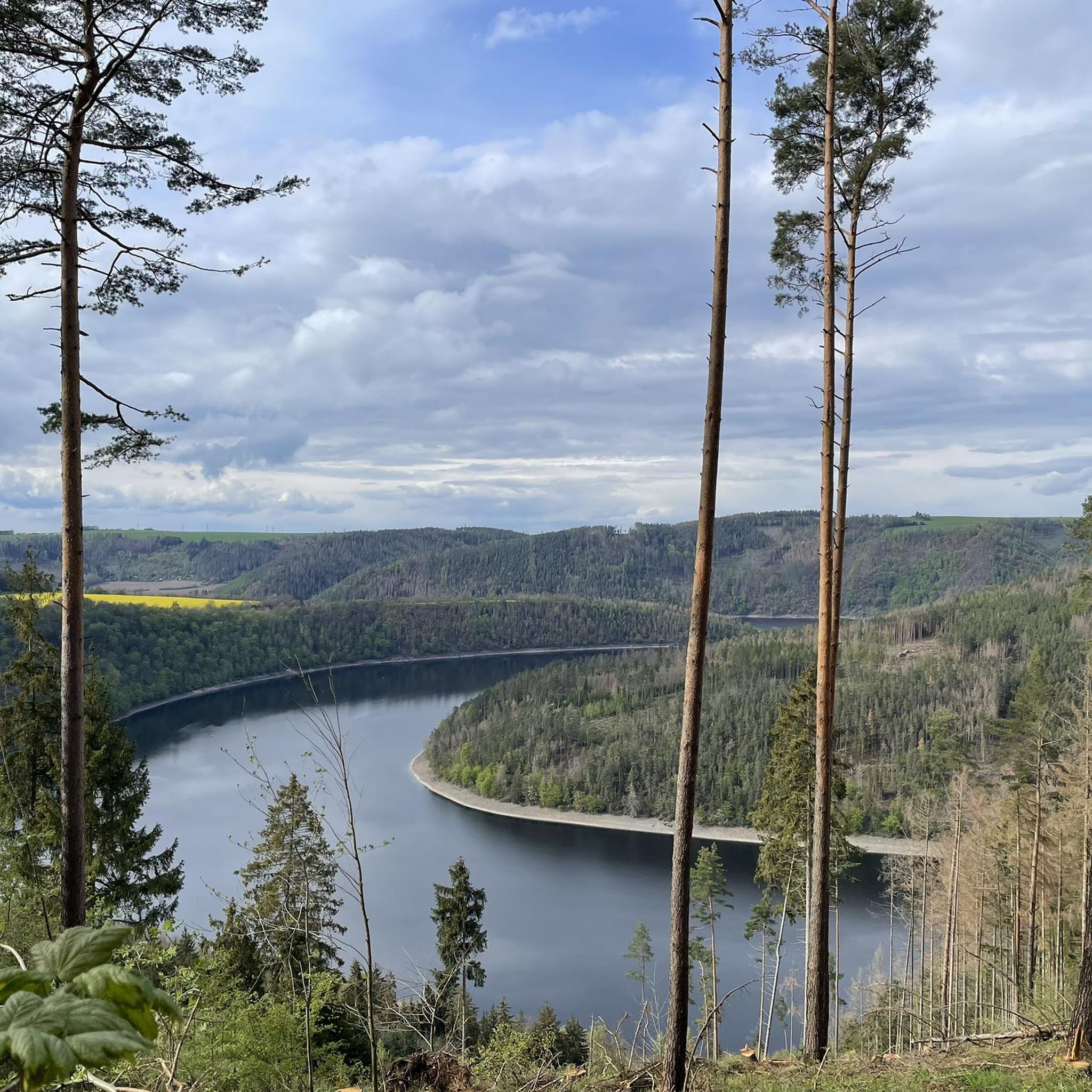
Running Trails around Drognitz
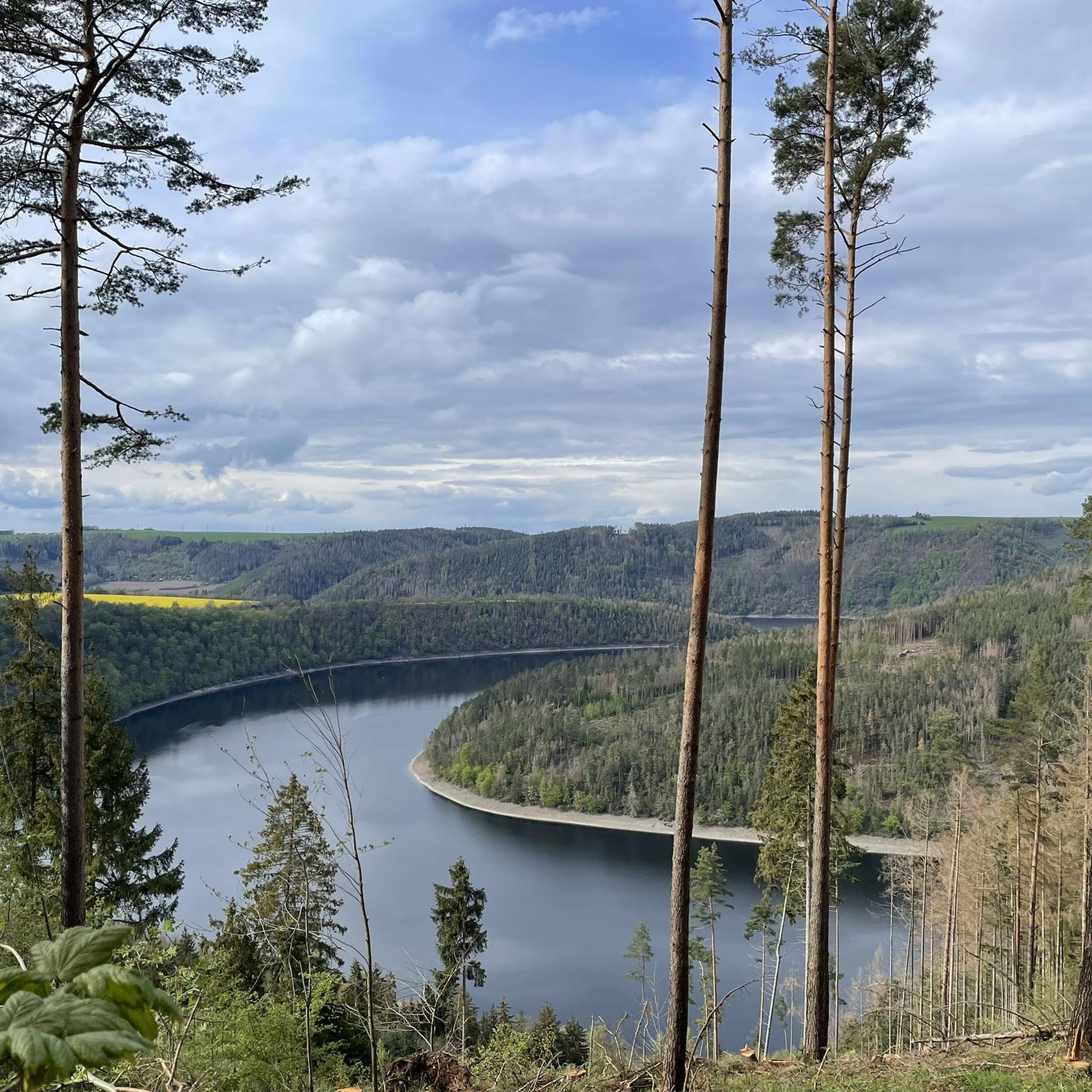
MTB Trails around Drognitz
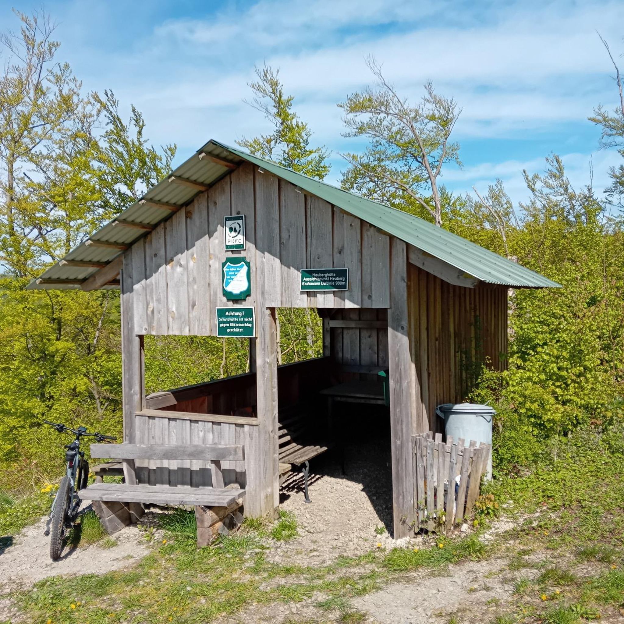
Gravel biking around Drognitz
Other adventures around Drognitz


Tips from the Community

From here you have a panoramic view. To the west, the Altvaterturm tower rises from the forest. To the east are Eliasbrunn and Heinersdorf, and to the south lies Wurzbach in the valley below.
0
0

for the record: the highest point (Vogelherd). In the middle of the woods. Forest and path are very beautiful. From time to time you have a view of Kaulsdorf. however, you should not waste your time and continue hiking to the real panorama highlights as quickly as possible.
0
0

Hiking through the geomorphology of the Zechstein Sea with its reefs is a real experience. An interesting landscape with diverse flora.
2
1

On the Red Mountain there are many beautiful paths, trails and “corners” of pure nature!
0
0

The Pinsenberg is a small nature reserve near Krölpa. It includes the mountain of the same name, from which you have a beautiful view as far as the Saalfelder Höhe. The vegetation stands out from the surrounding area (many orchids). This area can be easily combined in a hike with the old Buchenberg quarry, which is also a nature reserve.
6
1

The Rote Berg is a beautiful panoramic mountain near Saalfeld. From here you can see the cities of Saalfeld and Kaulsdorf as well as the wide landscape of the surrounding area consisting of fields and forests. Fantastically beautiful!
1
0
Frequently Asked Questions
What are some notable elevated points or "peaks" to visit around Drognitz?
While Drognitz is known for its scenic woodlands and valleys rather than towering peaks, several elevated points offer stunning views. Highly recommended are the Presswitzer Spitze at Hohenwarte Reservoir, which provides expansive views of the reservoir, and Pinsenberg, known for its beautiful vistas towards the Saalfelder Höhe and diverse flora.
Are there family-friendly options among the elevated points around Drognitz?
Yes, the region offers several family-friendly options. The Presswitzer Spitze at Hohenwarte Reservoir is particularly popular with families, offering opportunities to cool off in the lake and enjoy picnics. Additionally, the region research mentions the Hohe Leite Shelter as part of an easy hiking loop suitable for all fitness levels, providing pleasant views for a relaxed outing.
What kind of views can I expect from the elevated points in the Drognitz region?
You can expect picturesque views of the surrounding Thuringian landscape. From the Roter Berg, you'll see the cities of Saalfeld and Kaulsdorf, along with wide expanses of fields and forests. The Presswitzer Spitze offers magnificent views of the Hohenwarte Reservoir, while Pinsenberg provides vistas towards the Saalfelder Höhe. From Piffelsberg, you get a panoramic view including the Altvaterturm tower and surrounding villages.
What natural features are prominent around these elevated points?
The region is characterized by dense forests, scenic valleys, and the expansive Hohenwarte Reservoir. Highlights like Pinsenberg are noted for their unique vegetation, including many orchids, and interesting geomorphology from the Zechstein Sea. The Presswitzer Spitze is a peninsula-like formation extending into the reservoir, offering a unique lakeside experience.
Are there hiking trails near these elevated points?
Yes, the Drognitz region boasts a well-established network of hiking trails. For example, the Presswitzer Spitze is part of the "H5" circular hiking trail. You can find numerous routes, including dog-friendly options, in the Dog-friendly hikes around Drognitz guide, which features trails like the moderate "Drachenschwanz Hut – View of the Drachenschwanz loop from Drognitz" and easier paths along the Saale River.
What outdoor activities can I do near the elevated points around Drognitz?
Beyond hiking, the area around Drognitz offers excellent opportunities for cycling. You can explore various routes for touring bicycles in the Cycling around Drognitz guide, or find challenging road cycling tours in the Road Cycling Routes around Drognitz guide. Many of these routes offer views of the Hohenwarte Reservoir and surrounding landscapes.
When is the best time to visit the elevated points around Drognitz?
The region's extensive woodlands and scenic valleys make it appealing throughout the warmer months. Spring and autumn offer pleasant temperatures for hiking and cycling, with vibrant foliage in autumn. Summer is ideal for activities around the Hohenwarte Reservoir, such as cooling off at Presswitzer Spitze. The well-maintained trails are generally accessible, but check local conditions for winter visits.
Are there any hidden gems or less-known elevated spots worth exploring?
While not a hidden gem in the traditional sense, the Vogelherd (565 m) is noted as the highest point in the middle of the woods, offering beautiful forest paths and occasional views of Kaulsdorf. It's a good spot for those who enjoy immersing themselves in nature away from more crowded viewpoints.
What do visitors enjoy most about the elevated points and trails in Drognitz?
Visitors consistently praise the scenic beauty and diverse hiking opportunities. The panoramic views, especially of the Hohenwarte Reservoir from spots like Presswitzer Spitze, are highly valued. The tranquility of Germany's "green heart" and the chance to immerse oneself in nature are also frequently highlighted, along with the well-maintained and varied trail network.
Can I combine a visit to these elevated points with other nature experiences?
Absolutely. Many of the elevated points are part of larger natural areas. For instance, Pinsenberg is a nature reserve itself, and its unique flora makes it a great spot for nature observation. It can easily be combined with a hike to the old Buchenberg quarry, which is also a nature reserve, offering a deeper dive into the region's natural diversity.
Are there any specific trails that offer the best panoramic views?
The "View of the Drachenschwanz" hiking route, an 11.4 km loop from Drognitz, is particularly highlighted for its expansive views of the distinctive "Drachenschwanz" geological formation. This moderate hike takes approximately 3 hours and 22 minutes and is a rewarding experience for its panoramic scenery.
Most popular routes around Drognitz
Most popular attractions around Drognitz

Get inspired with the komoot mobile app


Explore more
See even more amazing summits around Drognitz with these guides:
