Comunidad de Barbadillo de Herreros y Vallejimeno
Comunidad de Barbadillo de Herreros y Vallejimeno
The best running trails around Comunidad de Barbadillo de Herreros y Vallejimeno
13
runners
4
runs
Jogging routes Barbadillo de Herreros Vallejimeno are set within the Sierra de la Demanda, offering diverse natural landscapes for runners. The region features mountainous terrain, dense forests of oak, beech, and pine, and river valleys shaped by the Pedroso River. These elements provide varied running experiences, from challenging ascents to more gentle paths along historical routes.
Best jogging routes around Comunidad de Barbadillo de Herreros y Vallejimeno
- The most popular jogging route is Ascent to Alto de Gayubar — circular…
Last updated: August 13, 2026
16.1km
02:06
540m
540m
Hard run. Very good fitness required. Mostly accessible paths. Some sure footedness required.
5
runners
14.3km
02:08
670m
670m
Hard run. Very good fitness required. Mostly paved surfaces. Suitable for all skill levels.

Sign up for free
3
runners
5.12km
00:39
160m
160m
Moderate run. Good fitness required. Mostly paved surfaces. Suitable for all skill levels.
2
runners
9.33km
01:12
270m
270m
Moderate run. Good fitness required. Mostly paved surfaces. Suitable for all skill levels.
3
runners
15.4km
02:07
590m
590m
Hard run. Very good fitness required. Mostly paved surfaces. Suitable for all skill levels.
Our route recommendations are based on thousands of hikes, rides, and runs completed by other people on komoot.
Start today with a free account
Your next adventure awaits.
Login or Signup
Popular around Comunidad de Barbadillo de Herreros y Vallejimeno

Tips from the Community

a highly recommended area for hiking.
0
1

The path leaves El Portillo on the east side, goes up a few meters along a channel and enters the north side. If the mountain has snow, this section is dangerous because the cold and shady conditions keep the path icy and the fall is fatal; crampons and ice axes would be essential. The alternative is to climb directly along the channel on the east face, with less slope, sunnier and direct to the summit of San Millán (2,131 m), also called El Torruco. At the top there is a small circular stone tower adorned with a metal house and other festival motifs left by mountaineers. The southern slope of the mountain is a large mass of gentle slopes with no remains of glacial activity towards the valley of the Arlanzón River. The descent continues along the west face, enjoying extraordinary views of the Urbión River valley and the glacial cirque where the San Millán lagoon appears half frozen.
0
0

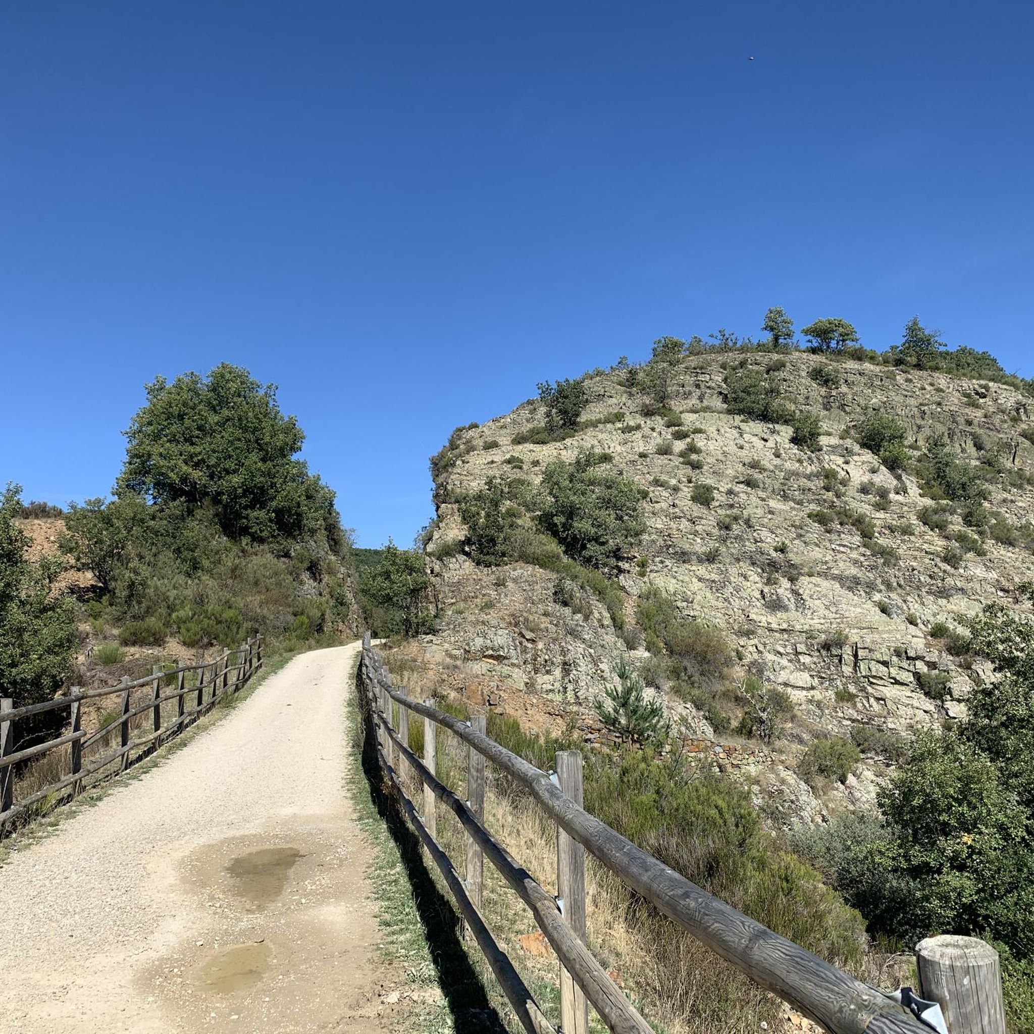
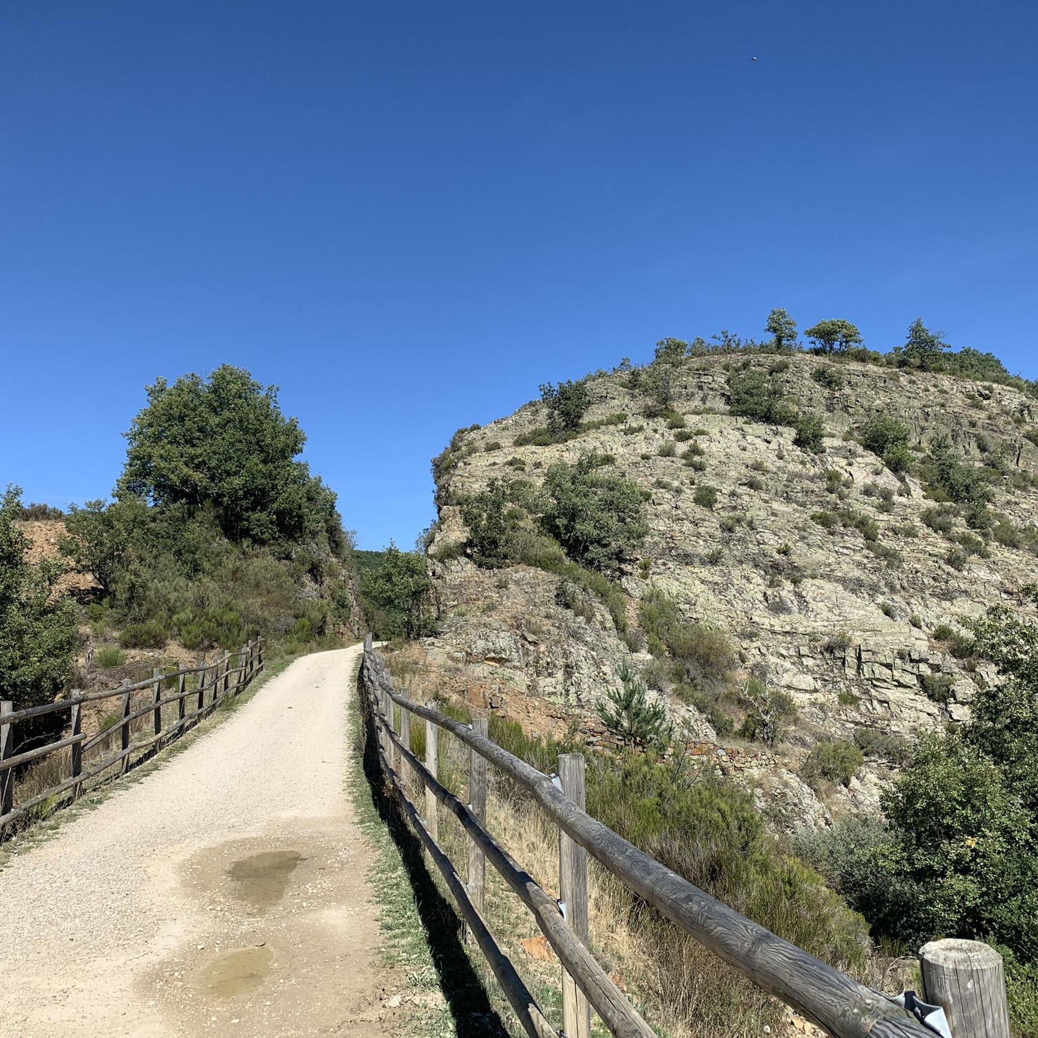
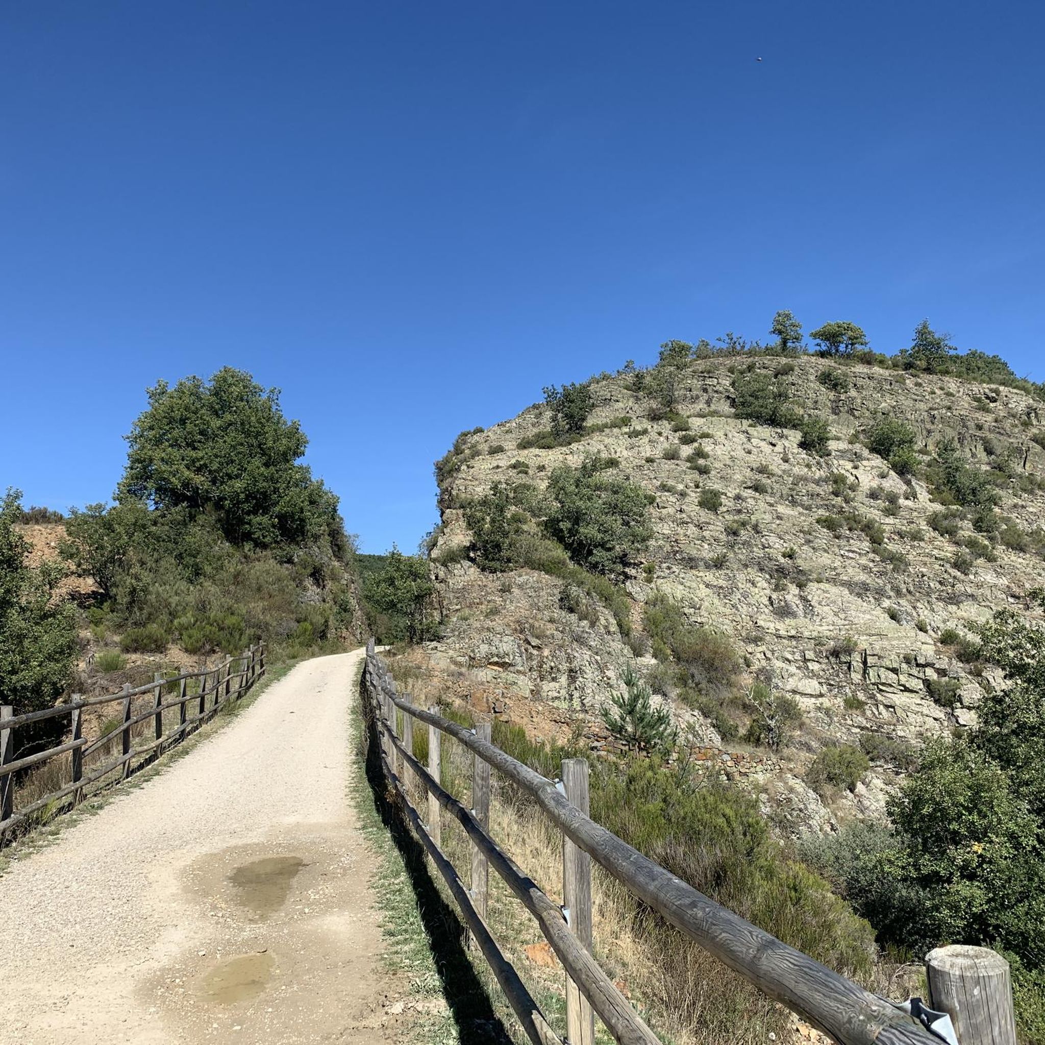
Small and beautiful town in the Sierra de la Demanda located at 1,181 meters above sea level. It stands out for its 12th century Romanesque church and the beautiful mountains that surround the town. The Sierra de la Demanda Greenway, which takes advantage of the old mining railway route, crosses the municipality.
1
0

In the valley of the Tejero river, on the Atlantic slope of the Sierra de la Demanda and to the north of the Sierra de Neila, this small but pretty town called Vallejimeno appears. A Roman bridge appears that crosses the river!
0
0
In one of the bends before reaching the top of Alto de Gayubar we find a high watch tower that helps in dry times to monitor the set of slopes that are around the area.
0
0
From this point you can see impressive panoramic views of the whole of the valleys that appear around, where at the top of the Sierra de Neila, there is the Alto de Gayubar that is above one thousand six hundred meters height
0
0
This is geographically the highest mountain in the province of Burgos and which also represents one of the roofs of the Sierra de la Demanda. At 2130 meters high, it offers impressive panoramic views of the surrounding valleys.
1
0
Riocavado de la Sierra is a town and a municipality located in the province of Burgos, autonomous community of Castilla y León (Spain), region of La Demanda, judicial district of Salas de los Infantes, head of the town hall of his name. In 2014 it had a population of 57 inhabitants.
0
0
Frequently Asked Questions
How many running routes are available in the Comunidad de Barbadillo de Herreros y Vallejimeno?
There are 4 dedicated running routes detailed on komoot for the Comunidad de Barbadillo de Herreros y Vallejimeno, offering a variety of experiences for different fitness levels.
Are there any easy or beginner-friendly jogging routes in the area?
While there are no routes specifically classified as 'easy' in our current selection, we do feature 2 'moderate' routes that could be suitable for beginners looking for a bit of a challenge. For example, the Riocavado de la Sierra loop from Riocavado de la Sierra is a moderate 5.1 km run with manageable elevation.
Can I find circular running routes in Comunidad de Barbadillo de Herreros y Vallejimeno?
Yes, many of the running routes in the region are circular, allowing you to start and finish at the same point. A great option is the Ascent to Alto de Gayubar — circular from Vallejimeno, offering a challenging 16 km loop with significant elevation gain.
Are the jogging trails in this region dog-friendly?
The natural landscapes of the Sierra de la Demanda, including the forests and river valleys around Barbadillo de Herreros y Vallejimeno, are generally welcoming to dogs. However, always ensure your dog is under control, preferably on a leash, and respect local wildlife and any specific signage you may encounter on trails.
What kind of natural attractions can I expect to see along the running routes?
The region is rich in natural beauty. You can encounter dense forests of oak, beech, and pine, and the scenic Pedroso River. Keep an eye out for the beautiful Pedroso river waterfall, a highlight for many visitors. The mountainous terrain also offers impressive vistas.
Are there any historical or cultural landmarks to explore while running?
Yes, the area boasts a rich history. The Greenway of the Sierra de la Demanda, an old mining railway line, provides a unique historical context to your run, traversing tunnels and bridges. You might also pass by traditional serrana houses and the charming village of Barbadillo de Herreros itself.
What is the best time of year for running in Comunidad de Barbadillo de Herreros y Vallejimeno?
The Sierra de la Demanda offers beautiful conditions for running throughout much of the year. Spring and autumn provide pleasant temperatures and vibrant scenery with changing foliage. Summer mornings and evenings can also be ideal, while winter runs can be challenging but rewarding, especially at higher elevations like Pico San Millán.
Are there any routes that offer panoramic views or mountain ascents?
Absolutely. For those seeking challenging ascents and panoramic views, routes like San Millán (2,131 m) – San Millán (2,131 m) loop from Monte de la Cruz will take you to higher elevations, including near Pico San Millán, the highest point in Burgos. Another challenging option is the Robles Orejones loop from Monasterio de la Sierra.
Is there parking available near the starting points of the running trails?
While specific parking information for each route is best checked on the individual tour pages, the main villages and access points to popular trails like the Vía Verde generally offer parking facilities. Many routes, such as the Horno de la mina loop from Monterrubio de la Demanda, start from easily accessible locations.
What makes the running experience unique in this region?
The Comunidad de Barbadillo de Herreros y Vallejimeno stands out for its diverse natural landscapes, from dense forests to river valleys and mountainous terrain. The blend of unspoiled nature with historical elements, such as the old mining railway, offers a rich and varied experience for runners of all abilities, far from motorized traffic on many trails.
Most popular routes around Comunidad de Barbadillo de Herreros y Vallejimeno
Most popular attractions around Comunidad de Barbadillo de Herreros y Vallejimeno

Get inspired with the komoot mobile app


Explore more
Browse the best Running Trails & Routes in other regions.
