Saint-Michel-De-Maurienne
Saint-Michel-De-Maurienne
The 5 Most Amazing Peaks around Saint-Michel-De-Maurienne
Best mountain peaks around Saint-Michel-De-Maurienne are situated in a region characterized by its alpine landscape and high-altitude terrain. The area features numerous summits and passes, offering various perspectives of the surrounding mountains. It is a location where the natural environment provides opportunities for exploring elevated viewpoints and challenging routes. The geography includes prominent peaks and deep valleys, typical of the Maurienne region.
Best mountain peaks around Saint-Michel-De-Maurienne
- The most popular mountain peaks is Pointe de la Masse, a summit…
Last updated: October 9, 2026
Pointe de la Masse
Highlight • Summit
Translated by Google •
Tip by

Cime de Caron
Highlight • Summit
Translated by Google •
Tip by

Sign up now to discover places like this
Get recommendations on the best single tracks, peaks, & plenty of other exciting outdoor places.
Tougnette pass
Highlight • Summit
Translated by Google •
Tip by

Col des Marches
Highlight • Mountain Pass
Translated by Google •
Tip by

Les Aiguilles d’Arves
Highlight • Summit
Translated by Google •
Tip by

Sign up for free to discover even more peaks around Saint-Michel-De-Maurienne.
Already have an account?
Start today with a free account
Your next adventure awaits.
Popular around Saint-Michel-De-Maurienne
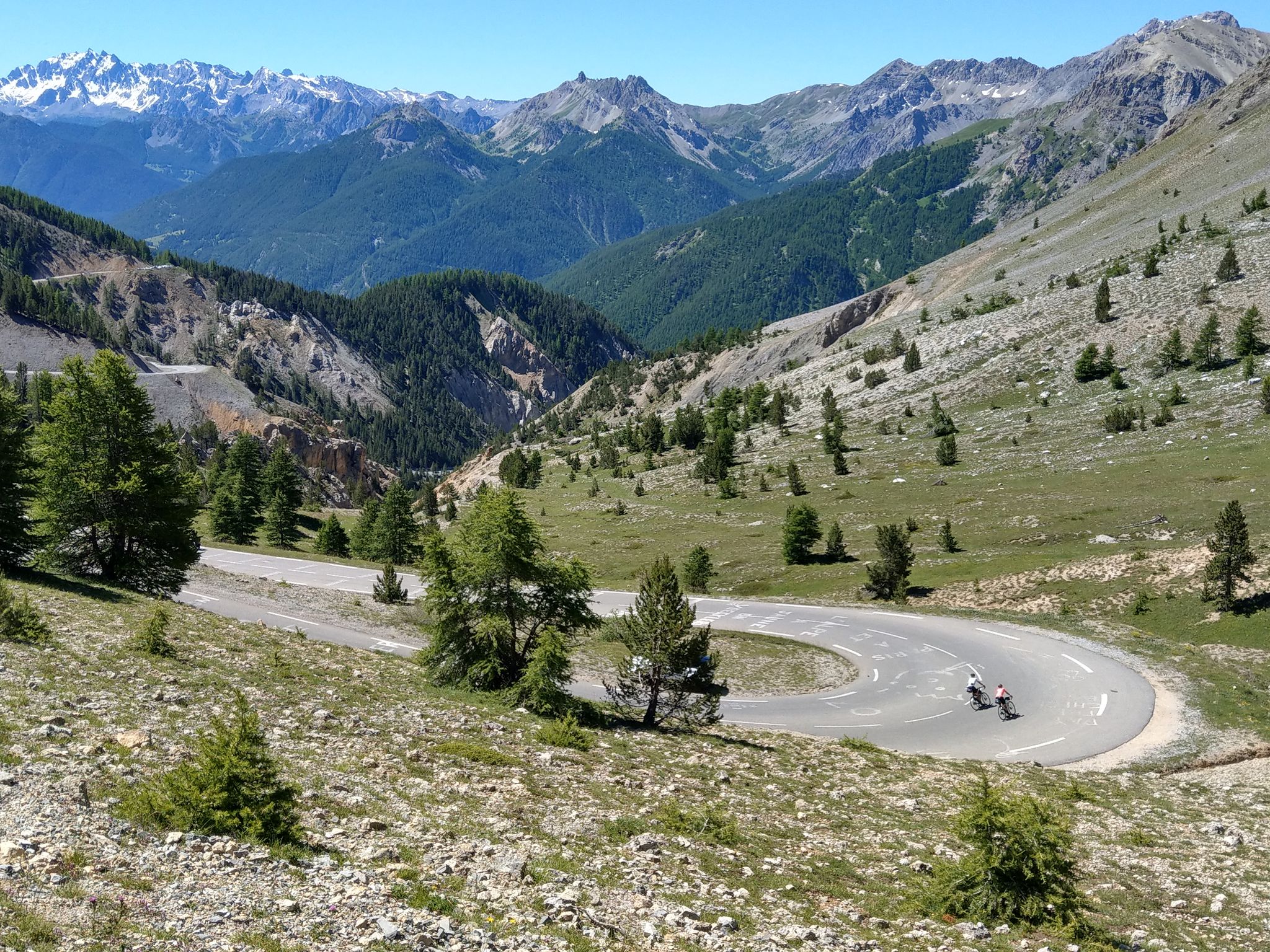
Route des Grandes Alpes – in 6 days from Evian to Nice
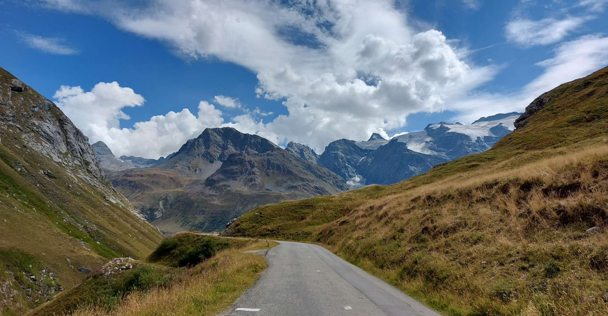
Briançon to Aosta – travelling across the Alps (part 2)
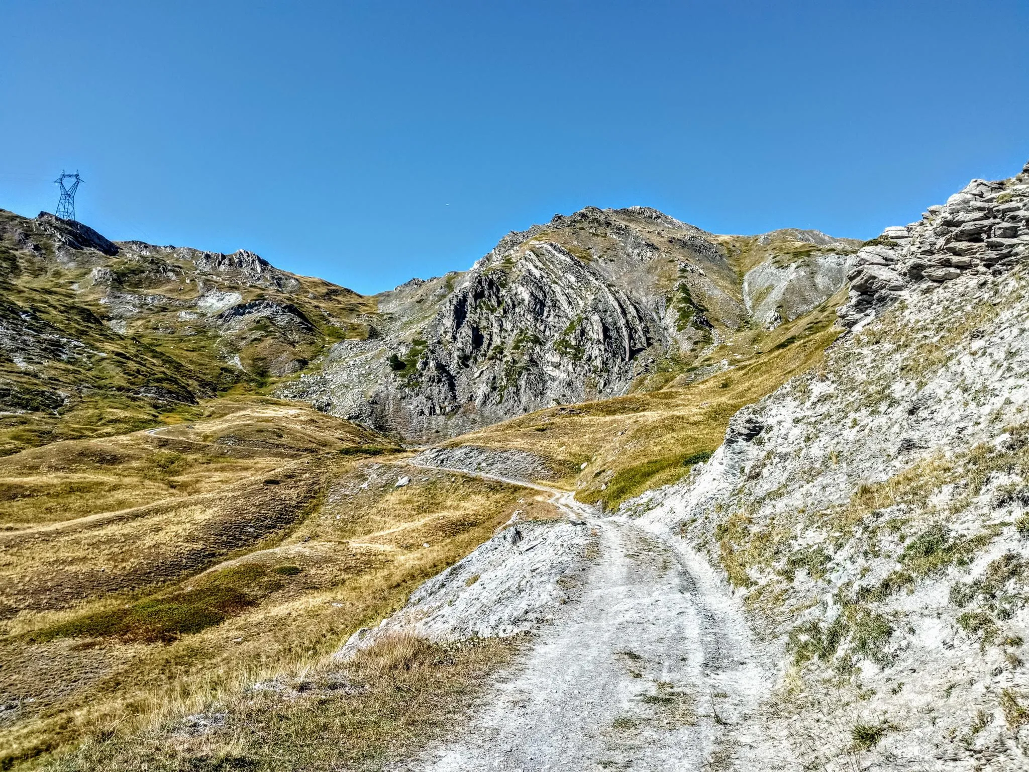
Between valleys and peaks – Ultra Gravel Tour des Alpes
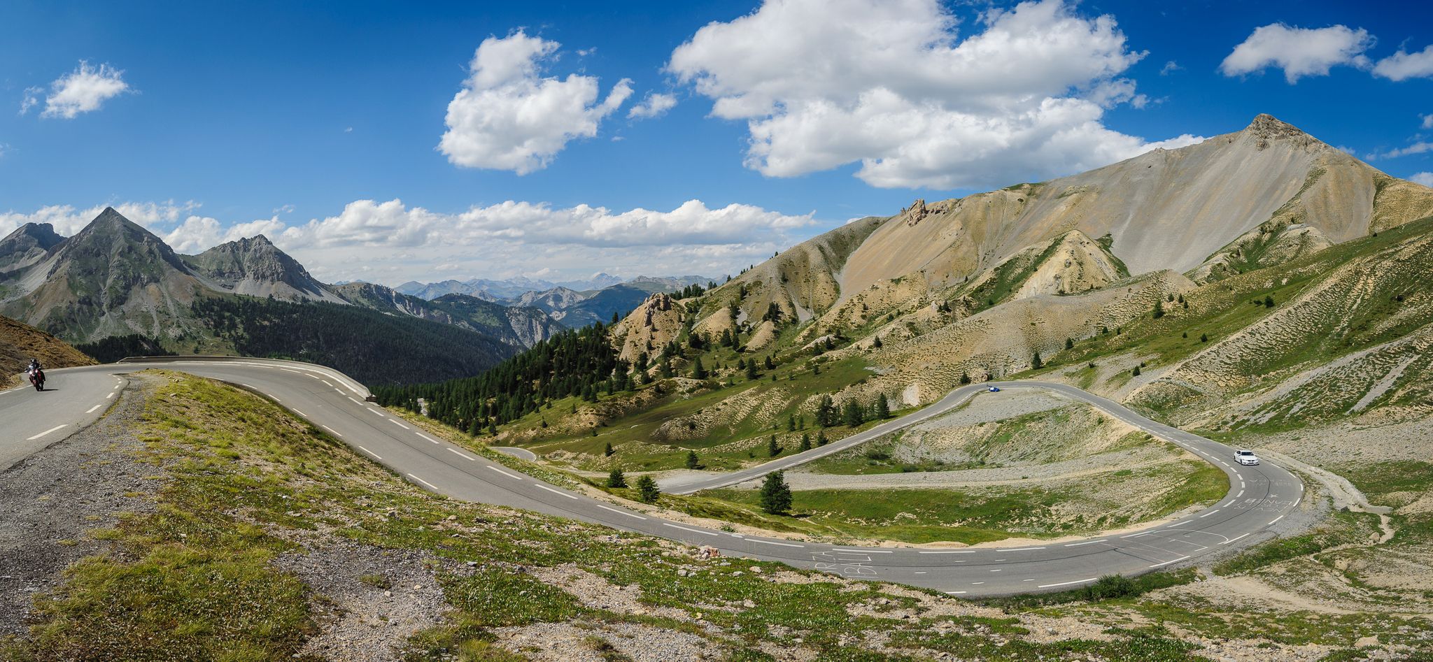
From Thonon to Menton — the great crossing of the French Alps
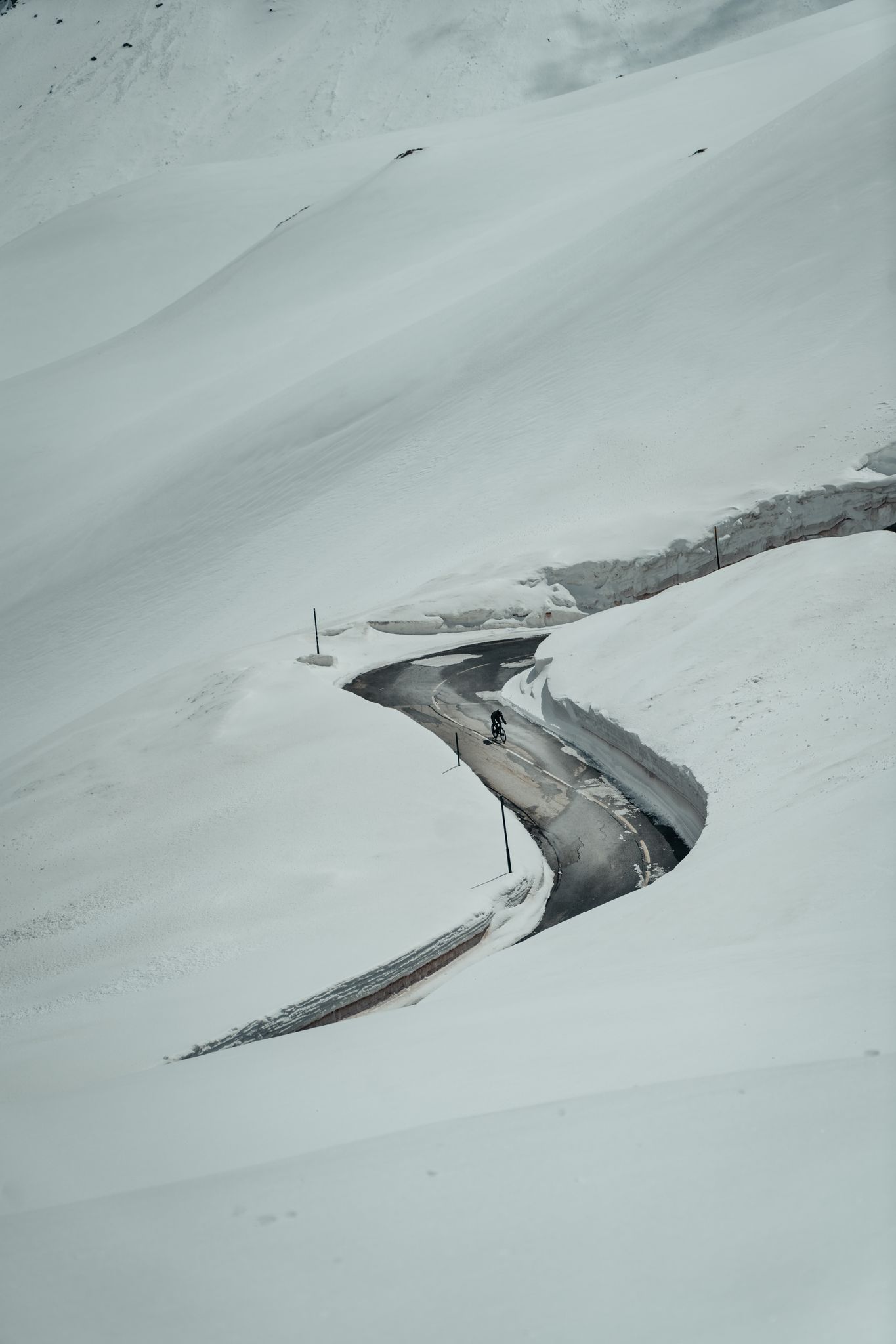
Finding the last bits of snow — early spring riding in the Alps
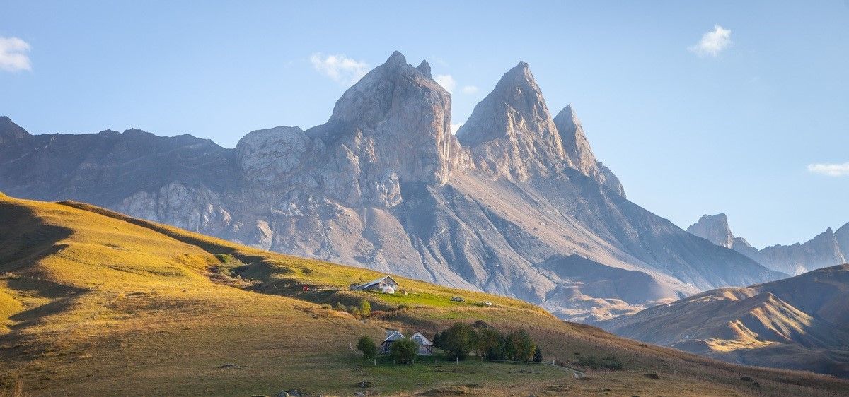
France’s breathtaking Alpine world — road bike routes around Maurienne
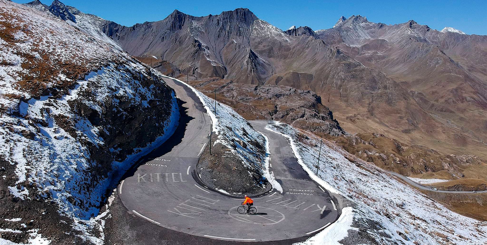
Tracing the Tour de France – spectacular passes in the Auvergne-Rhône-Alps
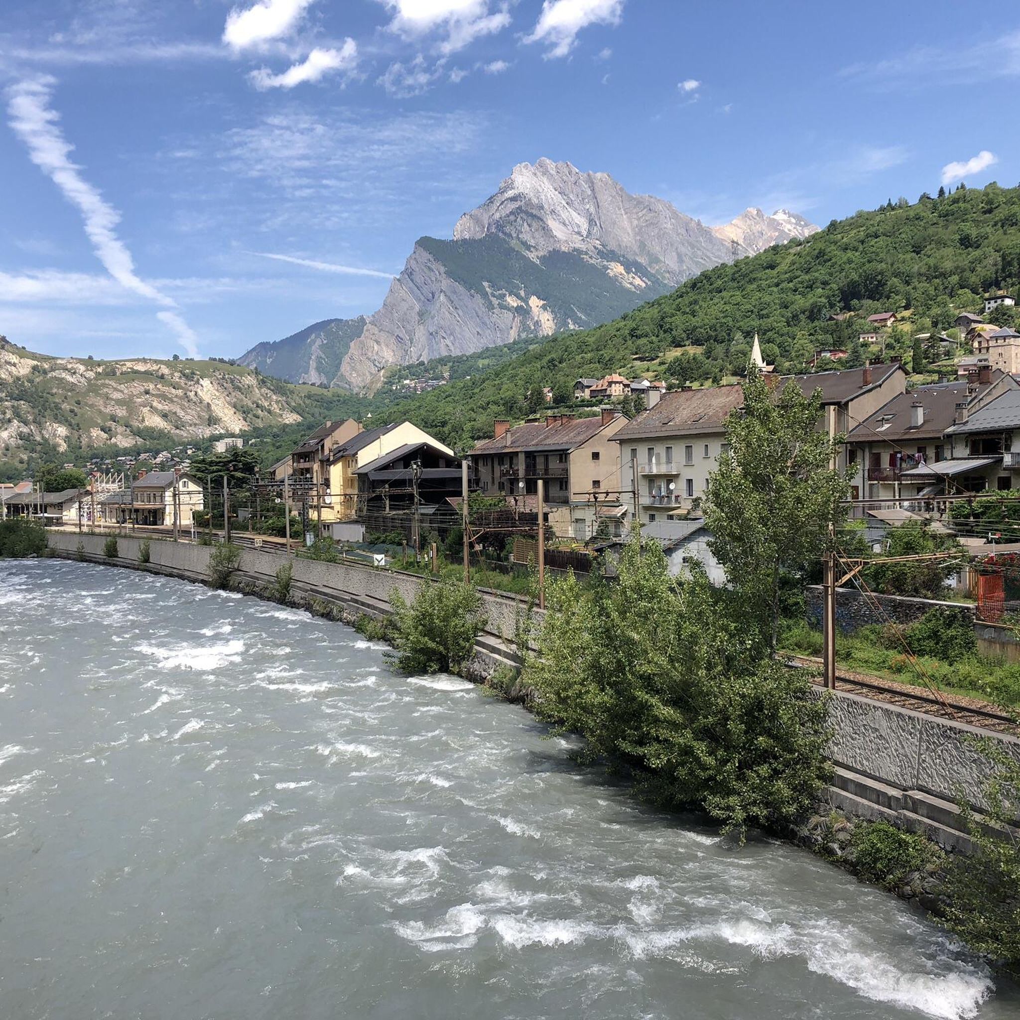
Road Cycling Routes around Saint-Michel-De-Maurienne
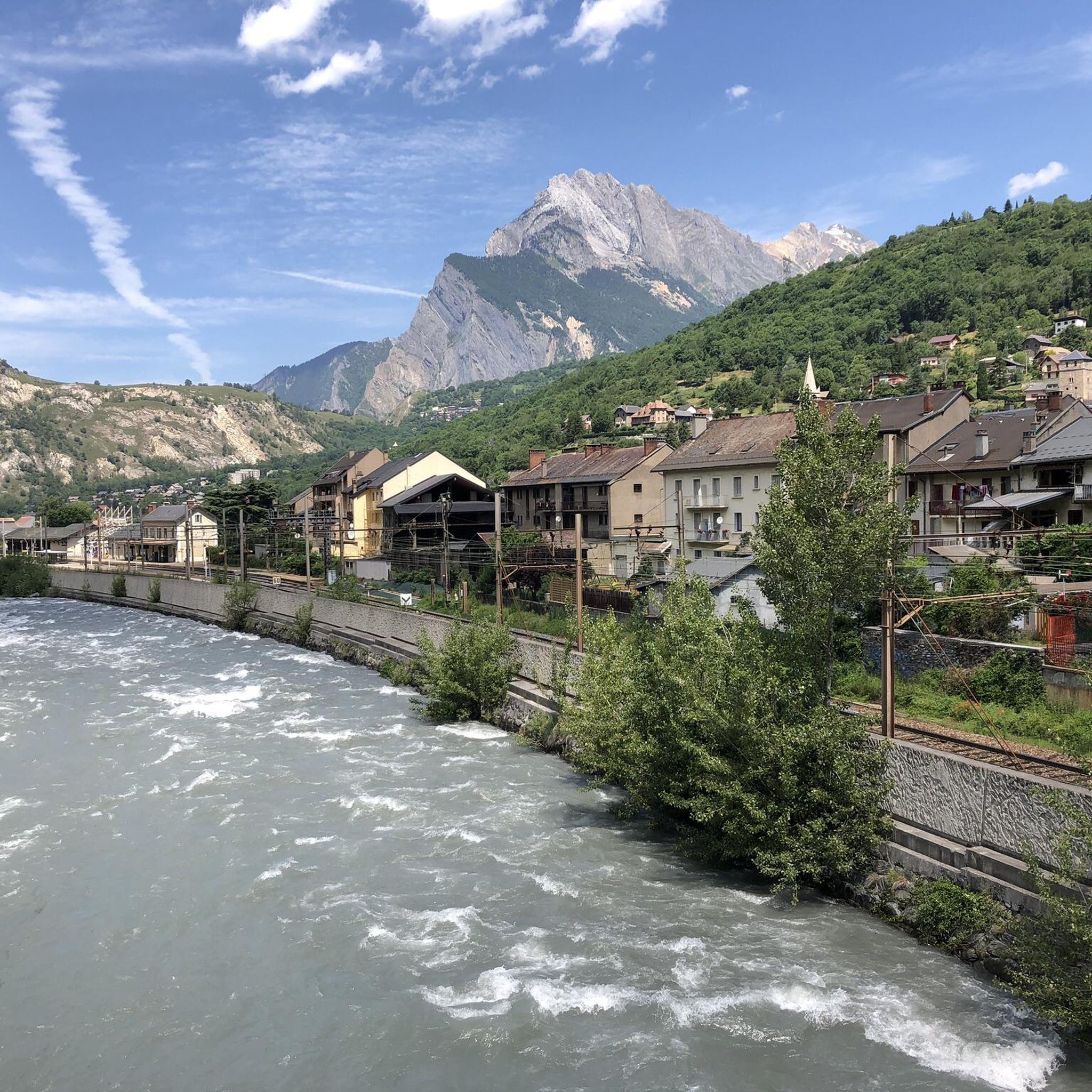
Cycling around Saint-Michel-De-Maurienne
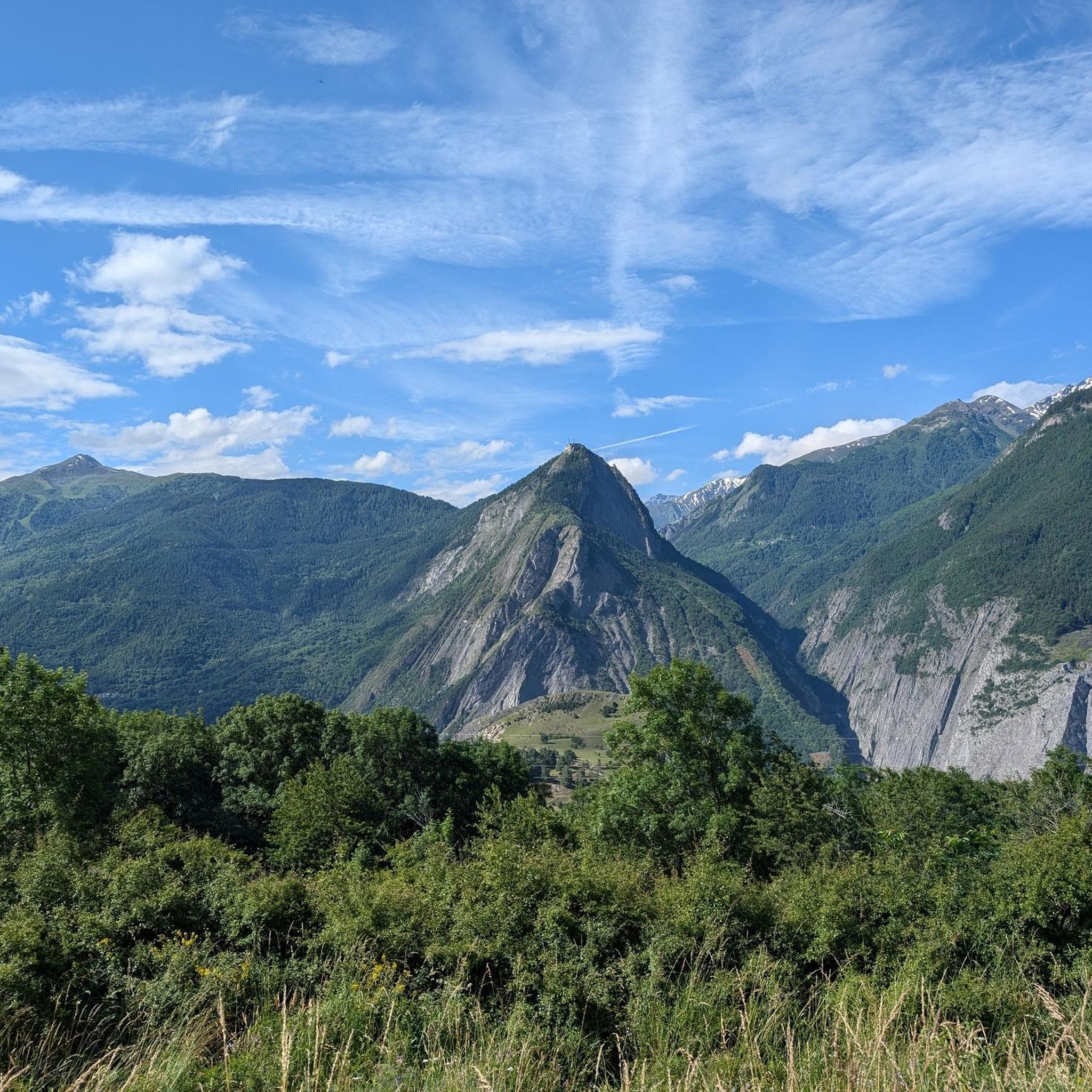
MTB Trails around Saint-Michel-De-Maurienne
Other adventures around Saint-Michel-De-Maurienne


Tips from the Community

Beautiful climb and beautiful descent!!
0
0


Since the arrival of the Saint Martin Express, be careful not to take the mountain bike and cycle paths.
0
0


Really great hiking trail. I advise !
2
0

Take the cable car to the top and from there you have a magnificent view of Val Thorens and Les Ménuires. There is also a wonderful view of many three-thousanders and four-thousanders, including Mont Blanc, the highest mountain in the Alps
3
0
Magnificent view from 3200 m on Les Menuires and Val Thorens as well as in the valley of Orelle
8
0

Superb panorama at 2800m altitude with original orientation table: line up the names that make up the names of the summits and the frame will point to the mountain indicated.
3
0
Frequently Asked Questions
Which peaks offer the best panoramic views around Saint-Michel-De-Maurienne?
For truly expansive views, consider Pointe de la Masse, which offers a superb panorama at 2800m altitude, extending to Val Thorens, Les Ménuires, and several three-thousanders and four-thousanders, including Mont Blanc. Another excellent choice is Cime de Caron, providing a magnificent perspective of Les Menuires, Val Thorens, and the Orelle valley from over 3200m.
Are there challenging mountain routes around Saint-Michel-De-Maurienne?
Yes, for those seeking a challenge, Les Aiguilles d’Arves offers a prominent summit and natural monument with a challenging route described as a real balcony overlooking the Aiguilles d’Arves. Additionally, Col des Marches is a challenging mountain pass at 2,725 meters, placing you deep in the heart of the mountains.
What outdoor activities can I do near the mountain peaks around Saint-Michel-De-Maurienne?
The region offers a variety of outdoor activities. You can find numerous hiking opportunities, including moderate routes like 'The Combes grain mill – Bridge over the Neuvache loop' or more difficult ones such as 'Eglise Saint Martin … – Col du Télégraphe loop'. For road cycling enthusiasts, there are challenging routes like 'Col du Galibier – Itinéraires pour vélo de route en Maurienne' and 'Col du Télégraphe – Col du Galibier loop'. Mountaineering options also exist, with routes like 'Lac Blanc – Lac Peclet loop' and 'Lac du Lou – Beautiful view of Lac du Lou loop'. You can explore more options in the Hiking around Saint-Michel-De-Maurienne, Road Cycling Routes around Saint-Michel-De-Maurienne, and Mountain Hikes around Saint-Michel-De-Maurienne guides.
Are there family-friendly mountain peaks or trails around Saint-Michel-De-Maurienne?
While specific 'family-friendly' categories aren't listed for the peaks themselves, some summits like Pointe de la Masse are accessible via cable car, offering magnificent views without a strenuous climb, which can be suitable for families. For hiking, moderate trails in the broader region, such as 'The Combes grain mill – Bridge over the Neuvache loop', might be more appropriate for families.
What is the best time of year to hike the mountains around Saint-Michel-De-Maurienne?
The best time for hiking in the Maurienne mountains is typically from late spring to early autumn (June to September) when the snow has melted from higher altitudes, and the weather is generally stable. This period offers the most accessible trails and pleasant temperatures for exploring the peaks and passes.
What do visitors enjoy the most about the mountain peaks in Saint-Michel-De-Maurienne?
Visitors consistently praise the magnificent panoramic views from the summits. For instance, from Pointe de la Masse, the superb panorama and the original orientation table are highlights. At Cime de Caron, the fantastic all-round view of the Alps on a clear day is a major draw. The challenging routes and the feeling of being in the heart of the mountains, as experienced at Col des Marches, are also highly appreciated.
Are there circular hiking routes available for the peaks around Saint-Michel-De-Maurienne?
Yes, the region offers several circular hiking routes. For example, you can find options like the 'Lac Blanc – Lac Peclet loop from Val Thorens' or the 'Lac du Lou – Beautiful view of Lac du Lou loop from Les Ménuires' within the broader mountaineering guide. These allow you to experience the diverse landscapes and return to your starting point. More details can be found in the Mountain Hikes around Saint-Michel-De-Maurienne guide.
What are the conditions for winter hiking around Saint-Michel-De-Maurienne?
Winter conditions in the Maurienne mountains can be severe, with significant snow cover and potential avalanche risks at higher elevations. While some lower trails might be accessible for snowshoeing, many mountain peaks and passes become challenging and require specialized equipment, experience, and knowledge of avalanche safety. It's crucial to check local conditions and forecasts before attempting any winter activities.
Are mountain trails around Saint-Michel-De-Maurienne dog-friendly?
Many trails in the Maurienne region are generally dog-friendly, especially at lower altitudes. However, regulations can vary, particularly within national parks or protected areas where dogs might need to be on a leash or are restricted from certain zones to protect wildlife. Always check local signage and respect guidelines. High-altitude and challenging routes might also be unsuitable for dogs due to terrain and weather.
Are there any hidden gem hikes or less-known peaks to explore in the Saint-Michel-De-Maurienne area?
While the main highlights are well-known, the vast Maurienne region is full of less-traveled paths. Exploring the numerous smaller passes and viewpoints not explicitly listed as major highlights, such as Tougnette pass, can lead to quieter experiences and unique perspectives. Consulting local maps and guides for less-frequented trails can reveal many hidden gems.
Is parking available for mountain trails near Saint-Michel-De-Maurienne?
Yes, parking is generally available at the trailheads for many mountain routes around Saint-Michel-De-Maurienne. These are often located in villages or at the start of mountain roads. However, during peak season, popular trailheads can fill up quickly, so it's advisable to arrive early. Some areas might have paid parking, while others offer free options.
Can I reach mountain trails near Saint-Michel-De-Maurienne by public transport?
Public transport options to reach mountain trails can be limited, especially for higher or more remote trailheads. Saint-Michel-De-Maurienne itself is served by train, and local bus services connect to some surrounding villages. However, for direct access to many specific mountain trails, a car is often the most convenient option. It's recommended to check local bus schedules and routes in advance if relying on public transport.
Most popular routes around Saint-Michel-De-Maurienne
Most popular attractions around Saint-Michel-De-Maurienne

Get inspired with the komoot mobile app


Explore more
See even more amazing summits around Saint-Michel-De-Maurienne with these guides:
