The best cycling routes around Saint-Michel-De-Maurienne
4.2
(386)
16,507
riders
25
rides
Touring cycling routes around Saint-Michel-De-Maurienne are situated in the heart of the Maurienne Valley in the French Alps. This region is characterized by dramatic alpine scenery, featuring snow-capped peaks, iconic mountain passes, and verdant river valleys along the Arc River. The terrain offers a diverse range of cycling experiences, from challenging high-altitude climbs to more tranquil routes through lower pastures.
Best touring cycling routes around Saint-Michel-De-Maurienne
- The most popular touring cycling route is Col du Télégraphe, Col du Galibier et…
Last updated: October 10, 2026
4.8
(37)
1,898
riders
86.5km
07:13
2,850m
2,850m
Hard bike ride. Very good fitness required. Mostly paved surfaces. Suitable for all skill levels.
4.5
(11)
162
riders
82.4km
05:22
1,130m
1,130m
Hard bike ride. Very good fitness required. Mostly paved surfaces. Suitable for all skill levels.

97
riders
68.2km
05:27
1,980m
1,980m
Hard bike ride. Very good fitness required. Mostly paved surfaces. Suitable for all skill levels.
4.5
(4)
184
riders
69.7km
05:11
1,670m
1,670m
Hard bike ride. Very good fitness required. Mostly paved surfaces. Suitable for all skill levels.
5.0
(1)
52
riders
26.6km
02:18
930m
930m
Hard bike ride. Very good fitness required. Mostly paved surfaces. Suitable for all skill levels.
Get access to more routes and recommendations from other explorers.
Already have an account?
Our route recommendations are based on thousands of hikes, rides, and runs completed by other people on komoot.
Start today with a free account
Your next adventure awaits.
Popular around Saint-Michel-De-Maurienne
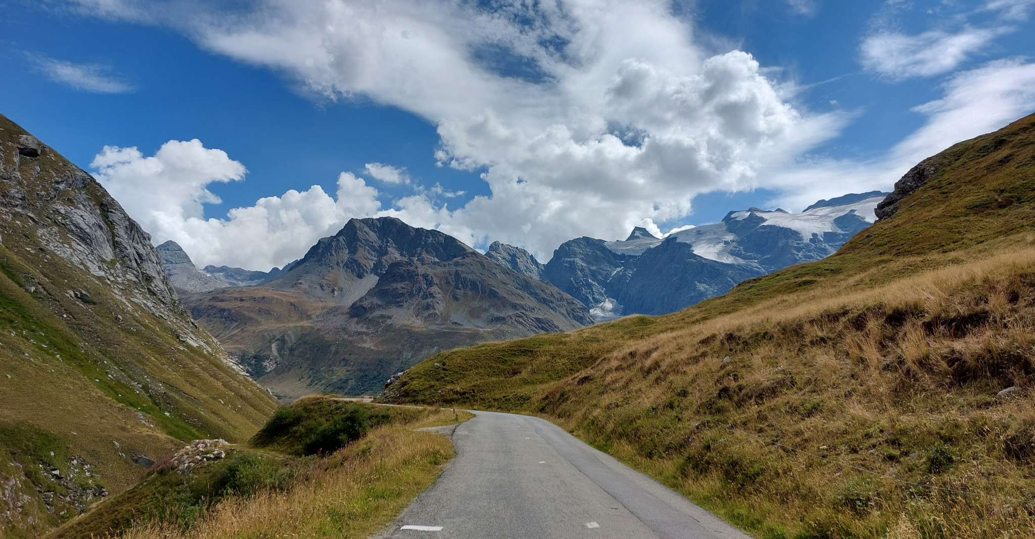
Briançon to Aosta – travelling across the Alps (part 2)
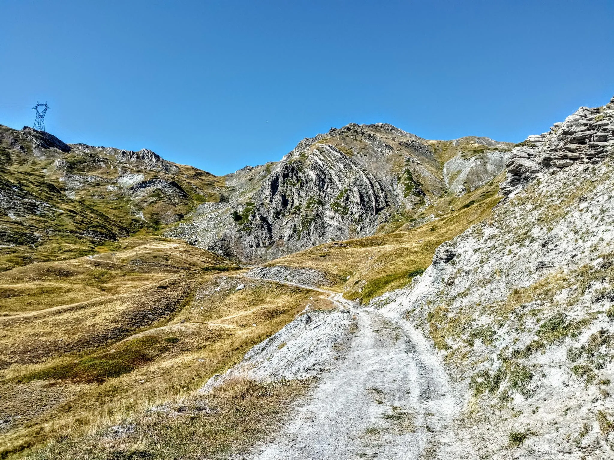
Between valleys and peaks – Ultra Gravel Tour des Alpes
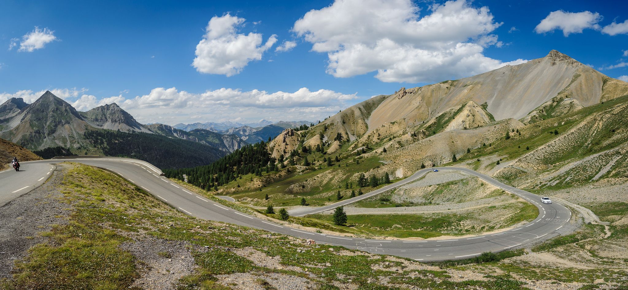
From Thonon to Menton — the great crossing of the French Alps
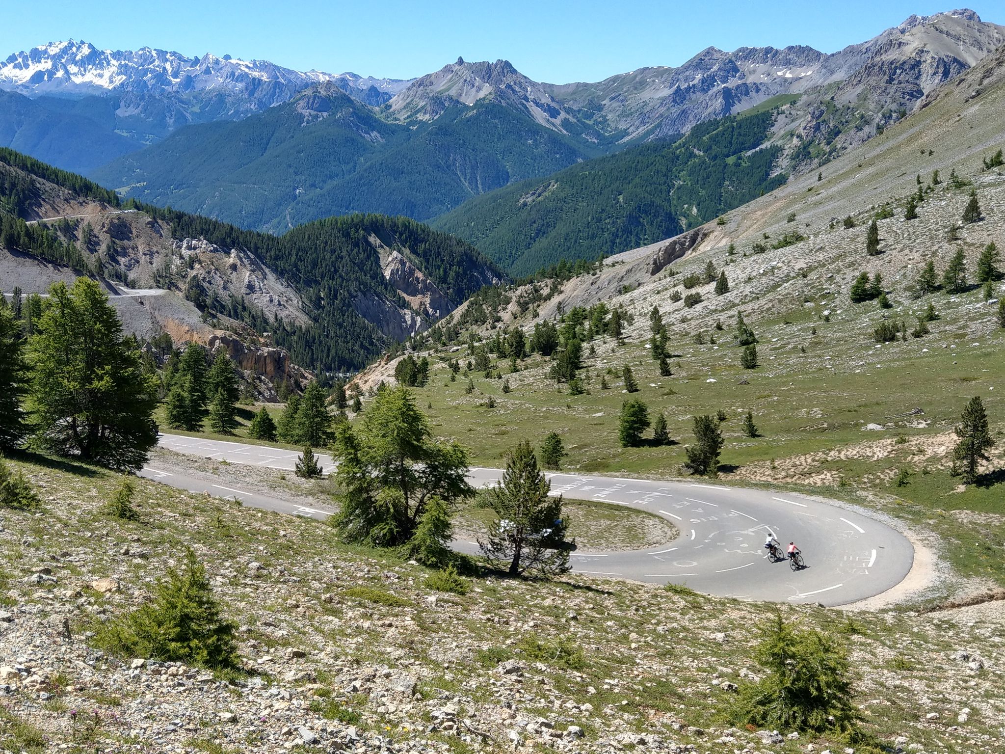
Route des Grandes Alpes – in 6 days from Evian to Nice
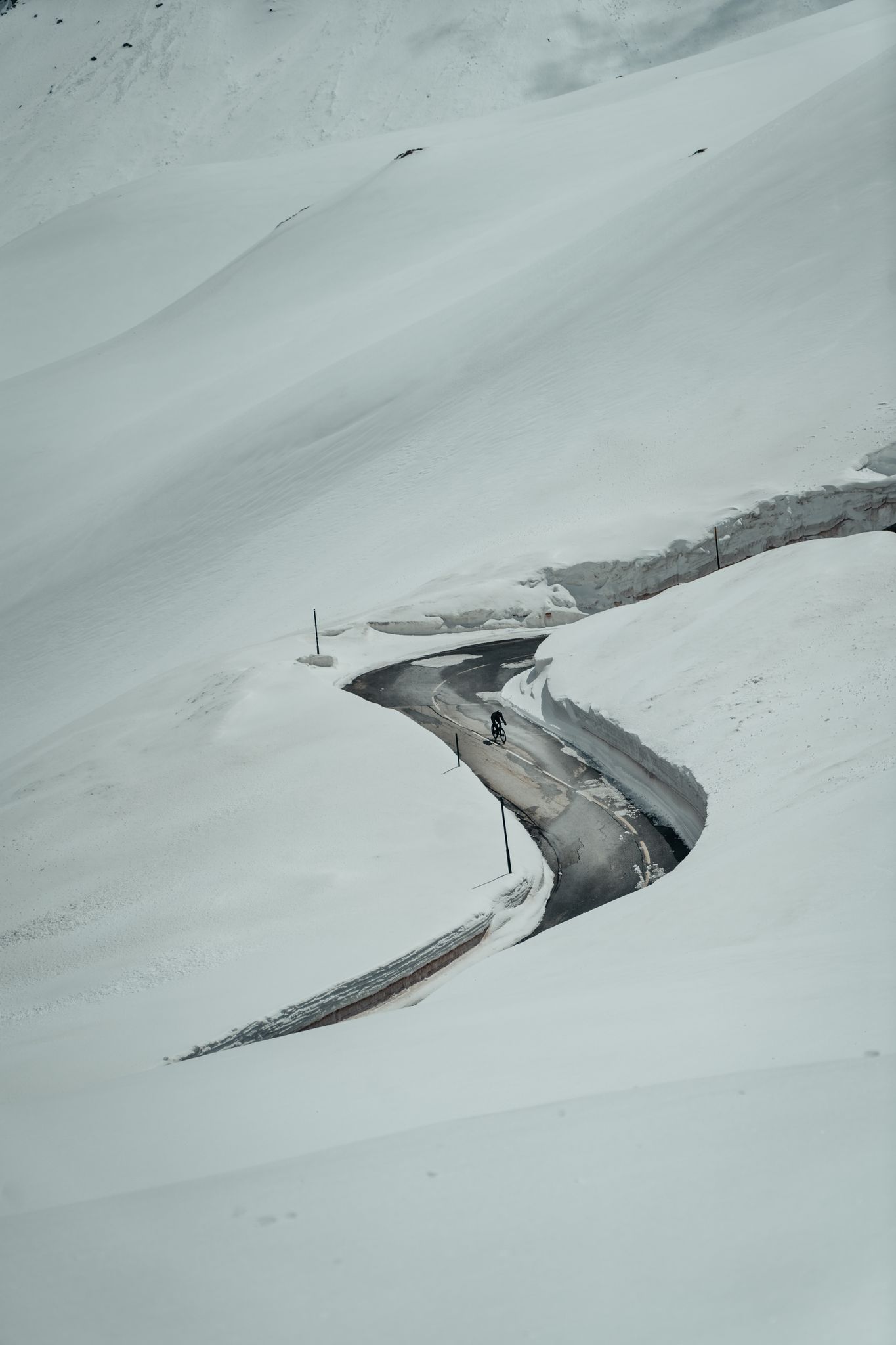
Finding the last bits of snow — early spring riding in the Alps
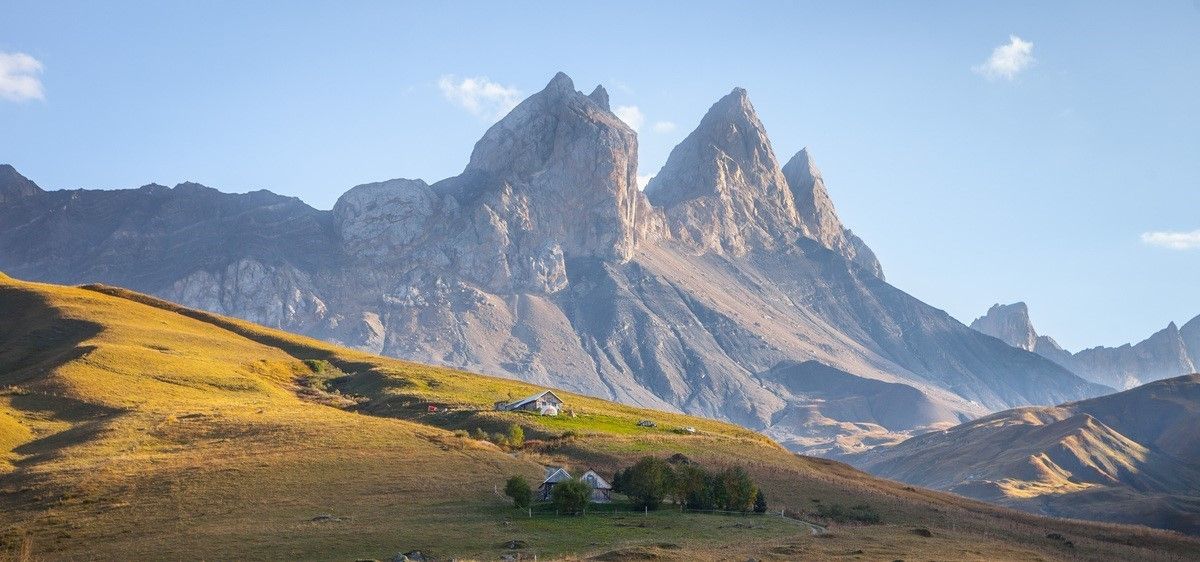
France’s breathtaking Alpine world — road bike routes around Maurienne
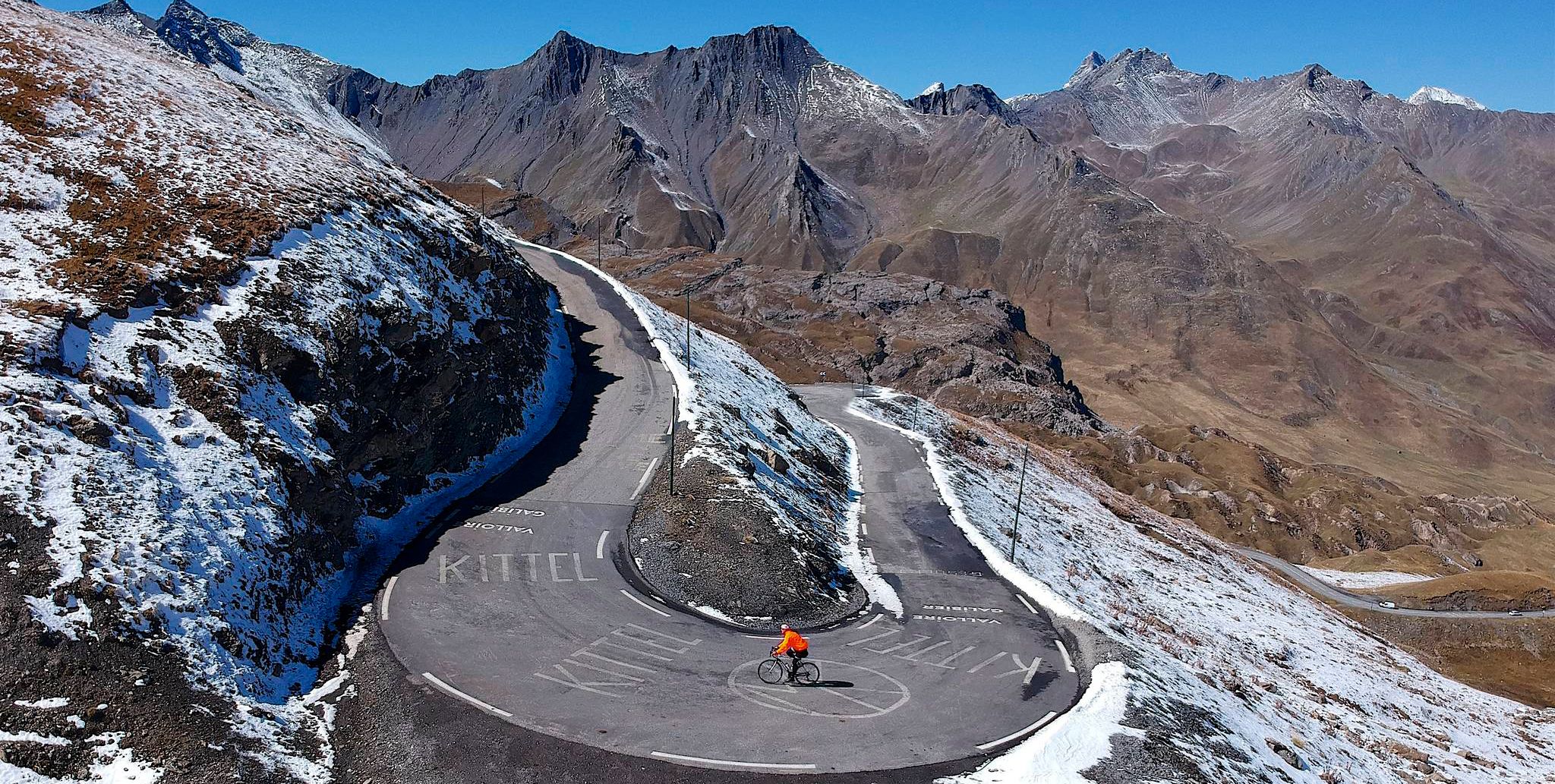
Tracing the Tour de France – spectacular passes in the Auvergne-Rhône-Alps
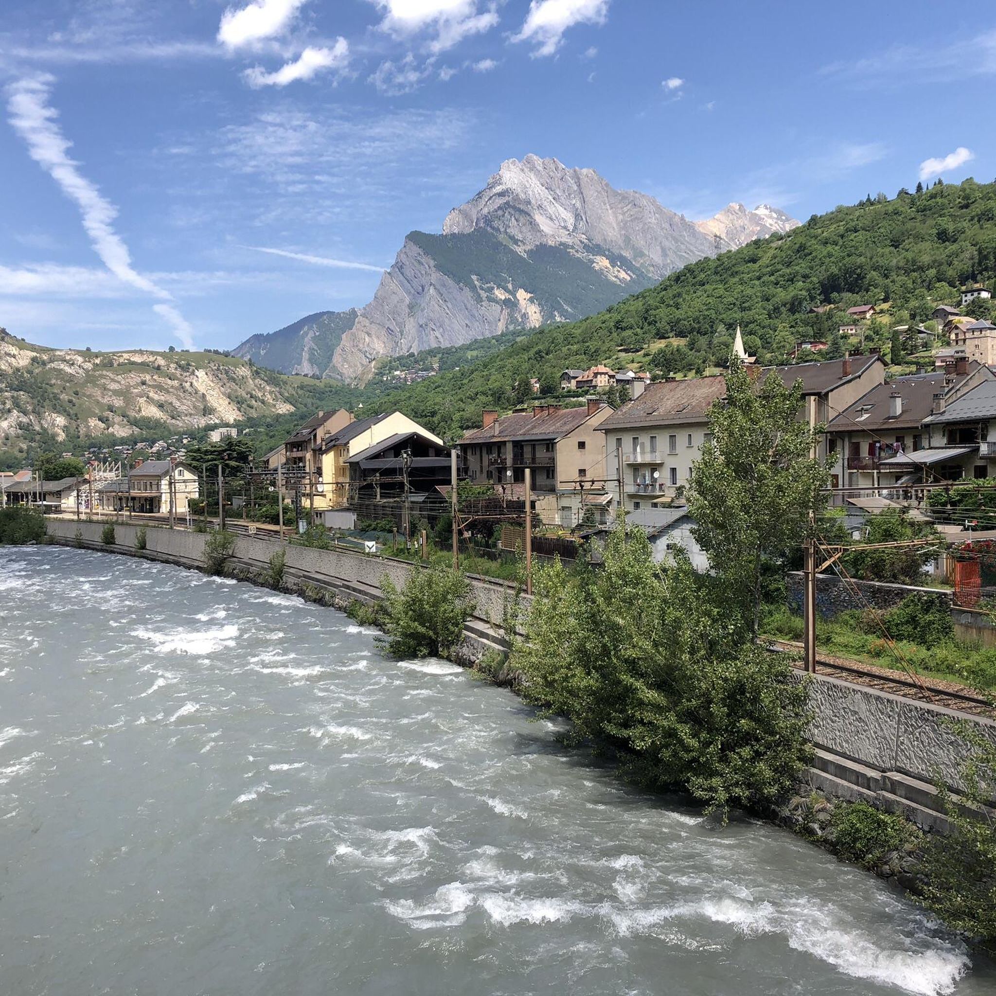
Road Cycling Routes around Saint-Michel-De-Maurienne
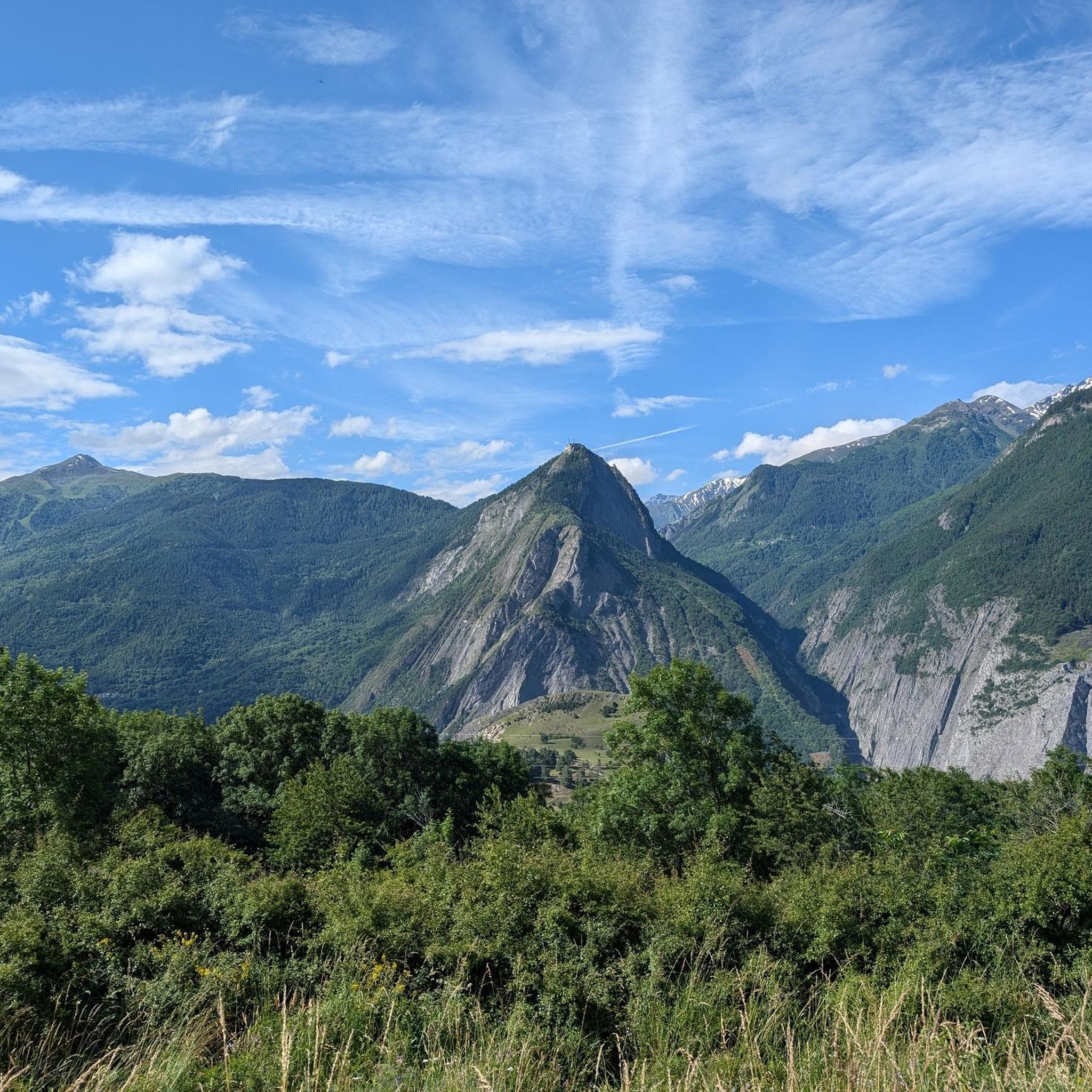
MTB Trails around Saint-Michel-De-Maurienne
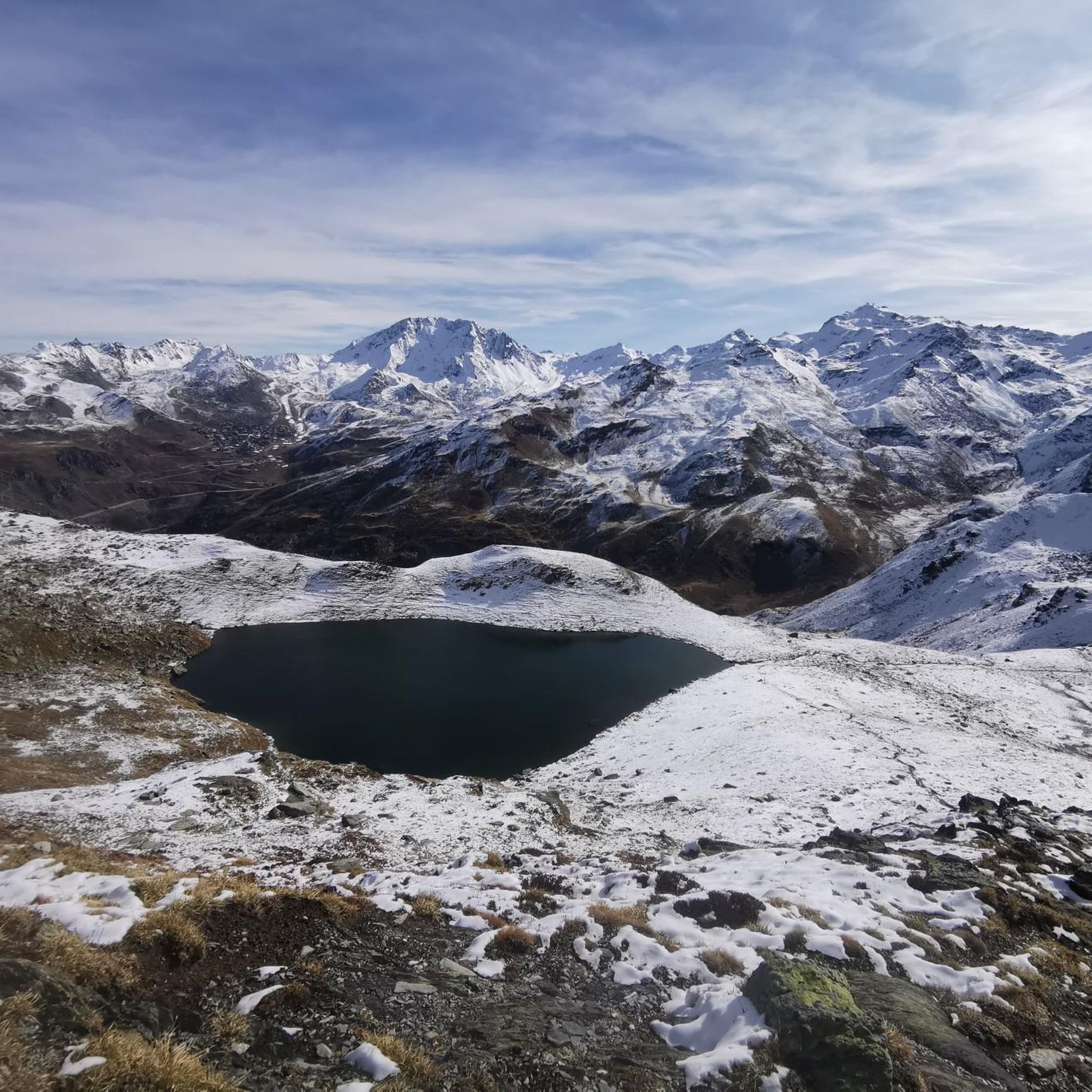
Hiking around Saint-Michel-De-Maurienne
Other adventures around Saint-Michel-De-Maurienne


Tips from the Community

Narrow road by the rock, great views.
1
0
Narrow road by the rock, great views.
2
0
Orderly ascent, nice pass with chapel and bar/restaurant. Some water points, but not many.
1
0
Small resting place, great view.
2
0
Great eye-catcher for the place.
2
0
Fantastic ascent, great views,
2
0
Impressive facilities Marie Therese and Victor Emmanuel.
2
0
Frequently Asked Questions
What kind of terrain can I expect on touring cycling routes around Saint-Michel-De-Maurienne?
The region offers a diverse range of terrain, from challenging high-altitude climbs on iconic mountain passes like Col du Galibier and Col du Télégraphe to more tranquil routes through verdant river valleys along the Arc River. You'll encounter dramatic alpine scenery, snow-capped peaks, and lush lower pastures.
Are there any moderate touring cycling routes available in Saint-Michel-De-Maurienne?
Yes, while many routes are challenging, there are options for moderate difficulty. For instance, the Saint-Jean-de-Maurienne – Télégraphe Pass loop from Saint-Michel-de-Maurienne is a moderate 33.5 km path that offers a less demanding experience while still showcasing the region's beauty.
What are some notable landmarks or natural features to see while cycling in the area?
The Maurienne Valley is rich in natural beauty and landmarks. You can cycle past the famous Col du Télégraphe, enjoy views of stunning lakes like Lac du Lou and Lac Vert, or even catch glimpses of majestic peaks like Les Aiguilles d’Arves. The charming Valloire Village is also a popular stop.
What do other touring cyclists say about the routes in Saint-Michel-De-Maurienne?
The touring cycling routes in Saint-Michel-De-Maurienne are highly rated by the komoot community, with an average score of 3.8 out of 5 stars from over 60 reviews. Cyclists often praise the breathtaking alpine scenery, the challenge of the iconic mountain passes, and the well-maintained paths.
Are there any circular touring cycling routes starting from Saint-Michel-De-Maurienne?
Yes, several circular routes are available. A popular option is the Valloire Village Center – Télégraphe Pass loop from Saint-Michel - Valloire, a challenging 56.7 km ride featuring the renowned Col du Télégraphe. Another is the Beau Plan Pass loop from Saint-Michel - Valloire, which is 31.8 km long and takes you through beautiful alpine landscapes.
When is the best time of year to go touring cycling in the Maurienne Valley?
The best time for touring cycling in the Maurienne Valley, especially for tackling the high mountain passes, is typically from late spring (June) through early autumn (September). During these months, the weather is generally more stable, and the passes are clear of snow. Always check local weather and road conditions before heading out.
Can I find cafes or restaurants along the popular cycling routes?
Yes, especially in the villages and towns along the routes. Saint-Michel-De-Maurienne itself offers various services, and towns like Valloire and Saint-Jean-de-Maurienne provide cafes and restaurants. On some of the more famous passes like Col du Galibier and Col du Télégraphe, you might find seasonal establishments catering to cyclists.
What are the options for parking my car if I want to cycle in Saint-Michel-De-Maurienne?
Saint-Michel-De-Maurienne, being a central point in the Maurienne Valley, offers various parking options. You can typically find parking near the train station or in designated public parking areas within the town, providing convenient access to the start of many cycling routes.
Is it possible to access cycling routes using public transport in the Maurienne Valley?
Yes, public transport can be a good option. The train station in Saint-Michel-De-Maurienne connects to other parts of the valley and beyond, making it accessible for cyclists. Additionally, some local bus services might accommodate bikes, especially during peak cycling season, allowing you to reach various starting points for your tours.
Are there any particularly challenging touring cycling routes for experienced riders?
Absolutely. The Maurienne Valley is renowned for its challenging climbs. The Col du Télégraphe, Col du Galibier et Col du Lautaret – Parc national des Écrins route is a prime example, covering 86.5 km with significant elevation gain across multiple legendary alpine passes. Another demanding option is the Télégraphe Pass – Mollard Pass loop from Saint-Michel - Valloire, which is 76.2 km long and features considerable climbing.
Where can I find more information about cycling in the Maurienne Valley?
For additional details and resources about cycling in the wider Maurienne Valley, including information on other routes and services, you can visit the official tourism website: maurienne-tourisme.com/cycling/.
Most popular routes around Saint-Michel-De-Maurienne
Most popular attractions around Saint-Michel-De-Maurienne

Get inspired with the komoot mobile app


Explore more
Browse the best Cycling routes in other regions.
