The 3 Most Amazing Peaks around Villamiel De La Sierra
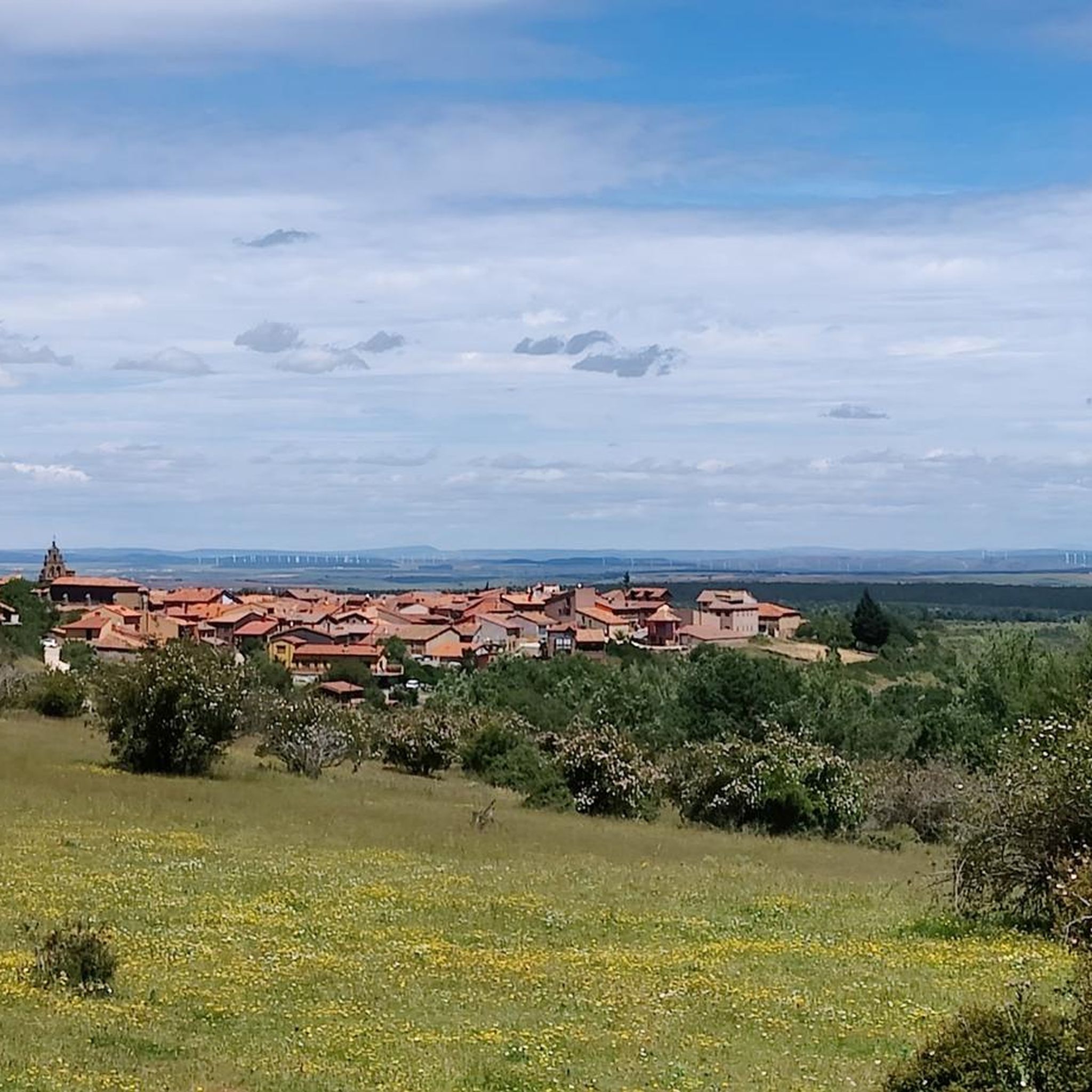
Mountain peaks near Villamiel De La Sierra are situated in the Sierra de la Demanda mountain range, within the eastern part of Burgos, Spain. This region, located at an elevation of 1,146 meters, features a mountainous landscape with diverse ecosystems and extensive forests. It offers access to several notable mountain peaks and natural monuments. The area is characterized by abrupt reliefs and craggy rock formations.
Best mountain peaks around Villamiel De La Sierra
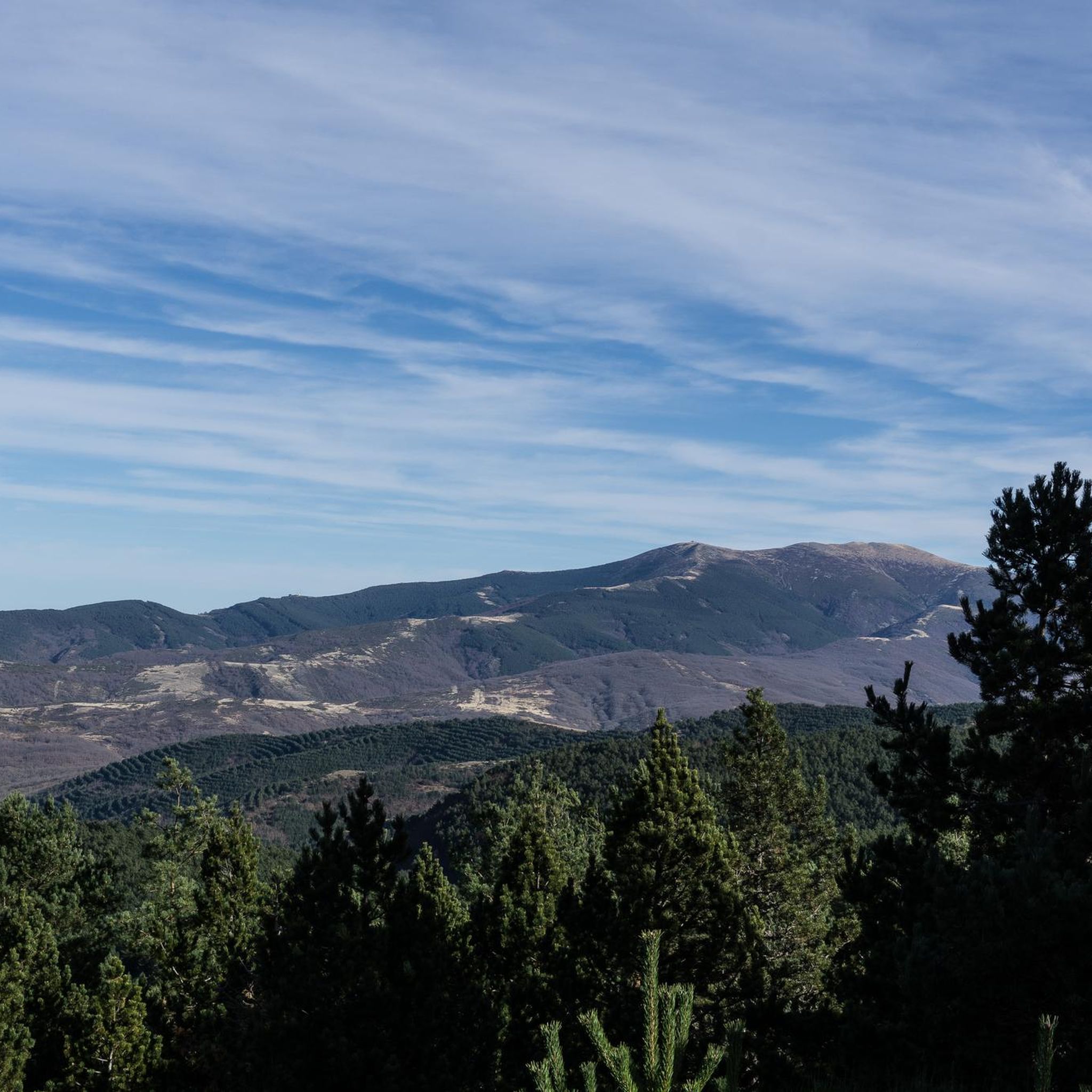
- The most popular mountain peaks is Pico Mencilla, a summit that offers panoramic views of Pico Trigaza and San Millán. Its ascent involves some rocky sections but is generally not difficult.
- Another must-see spot is Peñalara, a summit and natural monument. This small mountain stands out with a rocky group at its top, reaching over 1,200 meters high, providing impressive natural viewpoints.
- Visitors also love CerroDeFrayTuerto, a summit and natural monument. This peak is part of the diverse natural features found in the region.
- Villamiel De La Sierra is known for its summits and natural monuments. The region offers a variety of mountain peaks to see and explore, each with distinct features.
- The mountain peaks around Villamiel De La Sierra are appreciated by the komoot community, with 9 upvotes and 26 photos shared by visitors.
Last updated: November 3, 2026
Pico Mencilla
Highlight • Summit
Translated by Google •
Tip by

Peñalara
Highlight • Summit
Translated by Google •
Tip by

Sign up now to discover places like this
Get recommendations on the best single tracks, peaks, & plenty of other exciting outdoor places.
CabezaPlantizo
Highlight • Summit
Translated by Google •
Tip by

Trig Point on Torruco Peak
Highlight • Summit
Showing Translation
Tip by

CerroDeFrayTuerto
Highlight • Summit
Translated by Google •
Tip by
Start today with a free account
Your next adventure awaits.


Tips from the Community

The summit of Peñalara in Burgos (also known as Peña Lara or Sierra de Lara) rises to 1,296 meters in altitude in the heart of the Sierra de la Demanda region, overlooking the historic valley of Tierra de Lara.
0
0
Peñalara is a rocky mountain range and an impressive natural viewpoint of 1,296 meters in altitude, located in the Sierra de Lara (Lara region / Sierra de la Demanda). The hike is worth it to enjoy the views from its summit.
0
0
El Mencilla is the highest summit of the Mencilla mountain range, which in turn is part of the Sierra de la Demanda within the Iberian system. With an altitude of 1932 meters above sea level and a prominence of 532 meters, it gives its name to the homonymous mountain range. It is located in the Sierra de la Demanda natural space and the municipal terms of Pineda de la Sierra and Tinieblas de la Sierra converge here, part of the Sierra de la Demanda region, in the province of Burgos.
0
0
The Torruco peak is located in the northwestern sector of the Sierra del Mencilla. Its slopes are populated by dense forests that rise from the Palazuelos-Villamiel valley to the south and the deep Matanzas gorge to the north.
0
0

Of course, I don't know who or how came up with the names of these peaks, the truth is that they are all "very special."
2
1
A curious name for this peak near Campo de los Corros. There's no mailbox, but there is a large pile of stones. One of the descent/ascent trails to Pineda de la Sierra begins here.
1
1


From the top of Pico Mencilla, you can see Pico Trigaza and San Millan
2
0
Frequently Asked Questions
What are some of the most notable mountain peaks to explore near Villamiel de la Sierra?
The region around Villamiel de la Sierra, within the Sierra de la Demanda, offers several distinct peaks. Among them, Pico San Millán stands as the highest summit in Burgos province, offering expansive panoramic views. Pico Mencilla is another popular natural monument known for its views of Pico Trigaza and San Millán. Additionally, Peñalara, with its distinctive rocky summit, provides picturesque views over the historic valley of Tierra de Lara.
What are the hiking difficulties for the mountain peaks in this area?
Hiking difficulties vary. For Pico San Millán, routes can range, with the northern approach from Santa Cruz del Valle Urbión being steeper and potentially requiring basic mountaineering skills like crampons and an ice axe in winter. The ascent to Pico Mencilla involves some rocky sections but is generally not considered difficult. Peñalara is also considered an intermediate hike, offering a rewarding experience without extreme difficulty.
Are there any family-friendly mountain walks near Villamiel de la Sierra?
While specific family-friendly mountain walks are not detailed for every peak, the broader Sierra de la Demanda Natural Area offers diverse terrain. For easier options, look for trails with less elevation gain and shorter distances. Always check the specific route details and current conditions before heading out with family.
What natural features can I expect to see when hiking these peaks?
The Sierra de la Demanda region is rich in natural beauty. On Pico San Millán, you can observe an ancient Paleozoic mountain shaped by glaciations, including a small glacial cirque, a seasonal tarn, and moraines. The area is also known for its significant nature and birdlife. Generally, you'll encounter mountainous landscapes, diverse ecosystems, abrupt reliefs, craggy rock formations, and extensive forests throughout the region.
What is the best time of year to hike the mountain peaks around Villamiel de la Sierra?
The best time to hike generally depends on the specific peak and your experience level. Spring and autumn often offer pleasant temperatures and vibrant scenery. For higher peaks like Pico San Millán, winter conditions can be challenging, requiring specialized gear. Always check weather forecasts and trail conditions before your visit.
Are there any specific hiking routes or trails to reach Pico Mencilla?
Yes, there are hiking routes to Pico Mencilla. One popular option is the circular route from Pineda de la Sierra, which is considered difficult and covers approximately 14.7 km. Another route is the Campo de los Corros – Pico Mencilla loop from Valle del Sol, which is a moderate 11.2 km hike. You can find more details on these and other hiking routes at Hiking around Villamiel De La Sierra.
What other outdoor activities can I do near the mountain peaks of Villamiel de la Sierra?
Beyond hiking, the area around Villamiel de la Sierra offers various outdoor activities. You can explore road cycling routes, with options like the Campolara – Romanesque Bridge of Los Ausines loop. There are also traffic-free bike rides, such as the Arlanzón Reservoir – Sierra de la Demanda Greenway loop. For more information on these activities, visit Road Cycling Routes around Villamiel De La Sierra and Traffic-free bike rides around Villamiel De La Sierra.
What is unique about CabezaPlantizo?
CabezaPlantizo is a peak near Campo de los Corros, identifiable by a large pile of stones at its summit. It serves as a strategic point for hikers, as it marks the beginning of descent or ascent trails to Pineda de la Sierra, making it a key location for exploring the wider mountainous area.
Are there any viewpoints offering broad panoramas in the region?
Yes, several peaks offer excellent viewpoints. From the summit of Pico San Millán, you can enjoy broad panoramic views across northern and central Spain, including the Cantabrian Mountains and the Central System, with the Pyrenees visible on exceptionally clear days. Pico Mencilla also provides panoramic views of Pico Trigaza and San Millán. Peñalara is described as an impressive natural viewpoint.
What should I know about parking when visiting the mountain trails?
While specific parking locations for each trail are not detailed, it is generally advisable to look for designated parking areas in or near villages like Villamiel de la Sierra or trailheads. Always ensure you park responsibly and do not obstruct access for local residents or emergency services.
Can I find accommodation or places to eat near the mountain peaks?
Villamiel de la Sierra and surrounding villages in the Sierra de la Demanda region typically offer options for accommodation, cafes, pubs, and restaurants. It's recommended to check local listings or inquire in the villages for specific establishments to suit your needs after a day of hiking.
What is the 'Trig Point on Torruco Peak'?
The Trig Point on Torruco Peak refers to a triangulation station located on Torruco Peak, which is situated in the northwestern sector of the Sierra del Mencilla. The slopes of this peak are characterized by dense forests that rise from the Palazuelos-Villamiel valley to the south and the deep Matanzas gorge to the north.
Most popular routes around Villamiel De La Sierra
Most popular attractions around Villamiel De La Sierra

Get inspired with the komoot mobile app


Explore more
See even more amazing summits around Villamiel De La Sierra with these guides:
