Comunidad de Quintanar de la Sierra y Vilviestre del Pinar
Comunidad de Quintanar de la Sierra y Vilviestre del Pinar
The 5 Most Amazing Peaks around Comunidad de Quintanar de la Sierra y Vilviestre del Pinar
Best mountain peaks around Comunidad de Quintanar de la Sierra y Vilviestre del Pinar are found within the Picos de Urbión and Sierra de la Demanda ranges. This region, part of the Iberian System, features landscapes shaped by glacial activity. It offers access to high-altitude summits, glacial lakes, and diverse ecosystems. The area is characterized by its mountainous terrain and ancient geological formations.
Best mountain peaks around Comunidad de Quintanar de la Sierra y Vilviestre del Pinar
- The most popular…
Last updated: July 30, 2026
Campiña
Highlight • Summit
Translated by Google •
Tip by

Pico de la Laguna (2004m)
Highlight • Summit
Tip by

Sign up now to discover places like this
Get recommendations on the best single tracks, peaks, & plenty of other exciting outdoor places.
Sign up for free
Peña Aguda
Highlight • Summit
Translated by Google •
Tip by
Alto La Campiña
Highlight • Summit
Translated by Google •
Tip by
Pico Las Torres or La Calvilla
Highlight • Summit
Translated by Google •
Tip by

Start today with a free account
Your next adventure awaits.
Login or Signup
Popular around Comunidad de Quintanar de la Sierra y Vilviestre del Pinar
Hiking around Comunidad de Quintanar de la Sierra y Vilviestre del Pinar
Road Cycling Routes around Comunidad de Quintanar de la Sierra y Vilviestre del Pinar
Running Trails around Comunidad de Quintanar de la Sierra y Vilviestre del Pinar
Cycling around Comunidad de Quintanar de la Sierra y Vilviestre del Pinar
MTB Trails around Comunidad de Quintanar de la Sierra y Vilviestre del Pinar
Tips from the Community


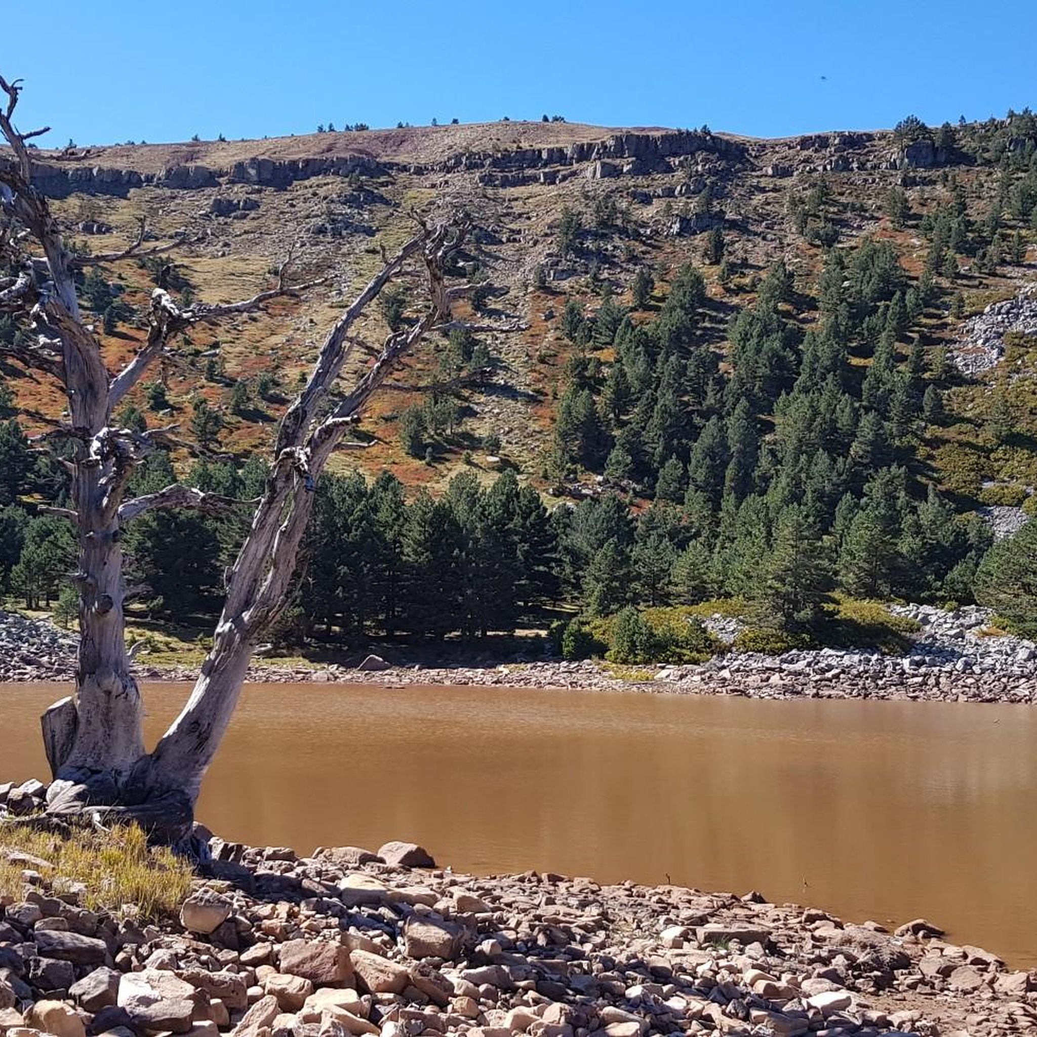
Mountain that is located to the west of what are the Lacunas de Neila and that offers a panorama of the other mountain slopes.
0
0
Campiña is the highest mountain that is found in this kind of circus where the set of lagoons are located in the middle. It offers stunning panoramic views of the area.
0
0
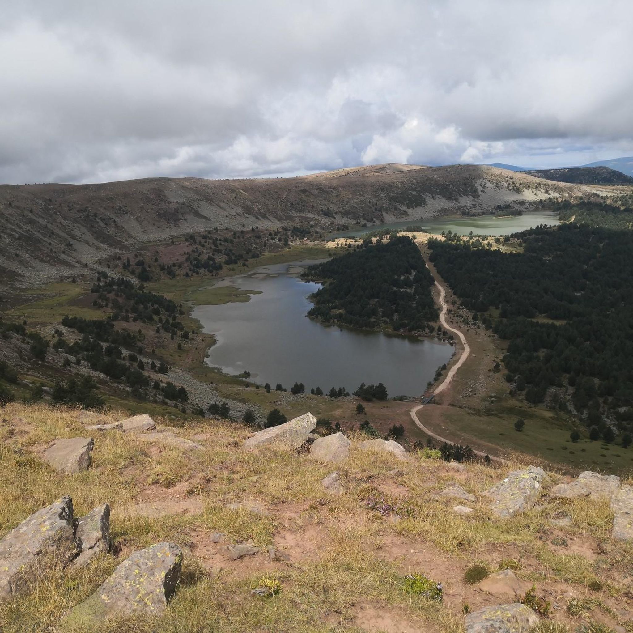
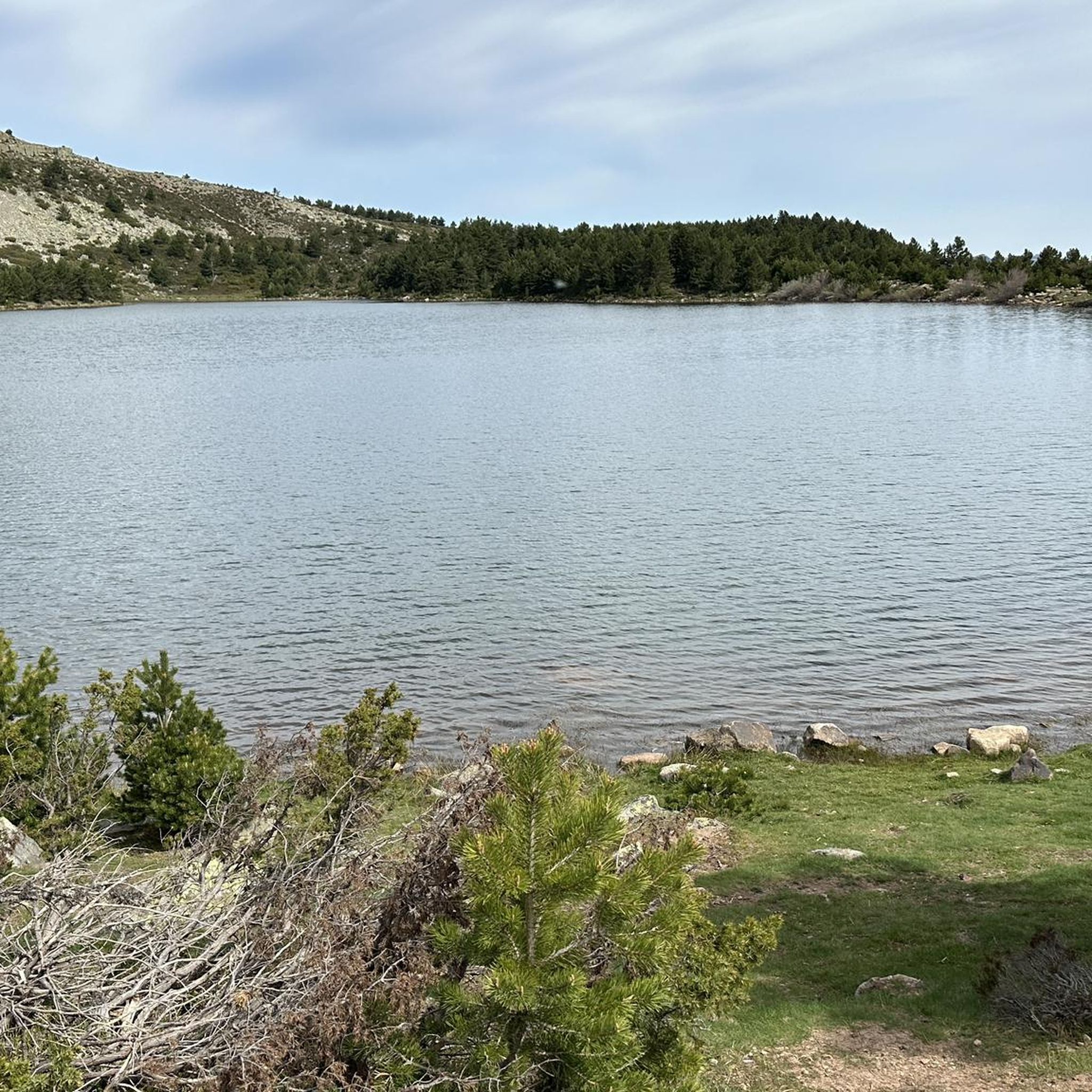
At the top of this mountain you can see impressive views of the group of lagoons found in this unique place. You can see the Lagunas Negra and the Larga d'es del cim.
0
0
Mountain that reaches almost 1400 meters high and where at the top there are a set of rocks that form a peak where you can observe the landscape and its panoramas.
1
0
It is a regular place for me.
2
0
On the proposed route, it passes through an area that is usually visited by us and specifically from Fuentelsaz in Quintanar de la Sierra. From the southern area of the town we access by a dirt road approximately 8 kilometers to reach the beginning of the trail. It's a circular route of 9 km of moderate difficulty, not for being nothing dangerous but because of the distance and the unevenness until reaching Campiña, which is the highest area of the route; then the rest is descent. You have all the info at rutas.elvalledigital.es
4
0

Spectacular view of the two largest lagoons. Justito exceeds 2,000 meters. It is very worth it.
4
0
Frequently Asked Questions
Which are some of the most notable mountain peaks in the Comunidad de Quintanar de la Sierra y Vilviestre del Pinar region?
The region offers access to several significant peaks within the Picos de Urbión and Sierra de la Demanda ranges. Highlights include Campiña, known for its panoramic views and exceeding 2,000 meters, and Pico de la Laguna (2004m), which provides stunning vistas of the Negra and La Larga lagoons. Other notable summits are Peña Aguda, located near the start of the Las Lagunas path, and Pico Las Torres or La Calvilla, offering expansive landscapes from its nearly 1400-meter height.
What kind of natural features can I expect to see when visiting the mountain peaks in this area?
The region is rich in natural beauty, largely shaped by glacial activity. You'll find stunning glacial lakes such as Laguna Negra, Laguna Larga, and Laguna Helada, especially around Pico Urbión. The Pico de la Laguna (2004m) offers direct views of Laguna Negra and Laguna Larga. The Sierra de la Demanda also features spectacular sets of glacial lagoons like the Lagunas de Neila, surrounded by forests and meadows. Additionally, the source of the Duero River is located in the Picos de Urbión.
What is the best time of year to hike the mountain peaks around Comunidad de Quintanar de la Sierra y Vilviestre del Pinar?
The best time for hiking is generally outside of winter. The area, particularly around Pico Urbión, is typically covered in snow from October to May, making routes more challenging and requiring specialized gear. For more accessible and pleasant hiking conditions, late spring, summer, and early autumn are ideal, offering milder weather and clear trails.
Are there any family-friendly hiking options among the mountain peaks?
While many peaks offer challenging ascents, the region also provides more accessible viewpoints and trails. For instance, the area around the Lagunas de Neila offers moderate hiking routes like the 5.0-mile Lagunas de Neila Trail, which provides panoramic mountain views and can be suitable for families. When planning, look for routes described as moderate or those focusing on viewpoints rather than high-altitude summits.
What are the typical hiking difficulties for the mountain peaks in this region?
Hiking difficulties vary significantly. Peaks like Pico Urbión offer challenging high-mountain experiences, often requiring good physical condition and sometimes specialized gear, especially during snowy periods. Many highlighted summits, such as Campiña and Pico de la Laguna (2004m), are rated as intermediate difficulty. There are also easier paths leading to viewpoints or around glacial lakes, suitable for a wider range of hikers.
Where can I find parking or trailheads for accessing the mountain peaks?
Access points often depend on the specific peak or trail. For example, the ascent to Pico Urbión often starts from the famous Laguna Negra, which typically has parking facilities. For Campiña, you can access it via a dirt road approximately 8 kilometers from the southern area of Quintanar de la Sierra, leading to the beginning of a circular trail. Many routes also begin from towns like Quintanar de la Sierra or Vilviestre del Pinar.
What other outdoor activities can I do near these mountain peaks?
Beyond hiking, the region is excellent for various outdoor activities. You can explore cycling routes, including touring bicycle and road cycling options, with trails like the 'Parque Natural Lagunas Glaciares de Neila — circular from Quintanar de la Sierra' or the 'Neila Lagoons loop'. Mountain biking is also popular, with routes such as 'Santo Domingo Bridge – Medieval Bridge of Soria loop'. For more details on these activities, refer to the Cycling guide, Road Cycling guide, and MTB Trails guide for the region.
Are there any historical or cultural sites near the mountain peaks?
Yes, the Sierra de la Demanda region offers more than just natural beauty. Visitors can explore ancient rock-cut tombs and hermitages, such as those found on the 'Sendero de las necrópolis' near Vilviestre del Pinar. This adds a historical dimension to your outdoor adventures, allowing you to combine nature exploration with cultural discovery.
What do visitors enjoy most about the mountain peaks in Comunidad de Quintanar de la Sierra y Vilviestre del Pinar?
Visitors frequently highlight the spectacular panoramic views from summits like Campiña and Pico de la Laguna (2004m). The unique glacial landscapes, especially around Laguna Negra and Lagunas de Neila, are also highly appreciated for their mystical atmosphere and natural beauty. The sense of peace and timelessness in the Sierra de la Demanda is often mentioned as a refreshing escape.
Can I find accommodation or places to eat near the mountain trails?
Quintanar de la Sierra and Vilviestre del Pinar serve as excellent bases for exploring the region. These towns, and potentially smaller villages nearby, typically offer accommodation options such as guesthouses or rural hotels, as well as cafes and pubs where you can refuel after your mountain adventures. It's advisable to check availability and opening hours, especially during off-peak seasons.
What are the highest peaks in the Picos de Urbión and Sierra de la Demanda ranges?
Pico Urbión, at 2,228 meters, is the highest point in the Picos de Urbión range and one of the highest in the entire Sistema Ibérico. In the Sierra de la Demanda, the highest peak is San Millán (2,131 m), followed by Pico Muñalba (2,073 m).
Are there any specific routes recommended for advanced hikers seeking a challenge?
Advanced hikers will find the ascent to Pico Urbión particularly rewarding. Starting often from Laguna Negra, this route takes you through a challenging glacial landscape to one of the highest points in the Sistema Ibérico. The Sierra de la Demanda also offers routes with significant elevation gains and rugged terrain for those seeking more demanding experiences.
Most popular routes around Comunidad de Quintanar de la Sierra y Vilviestre del Pinar
Most popular attractions around Comunidad de Quintanar de la Sierra y Vilviestre del Pinar

Get inspired with the komoot mobile app


Explore more
See even more amazing summits around Comunidad de Quintanar de la Sierra y Vilviestre del Pinar with these guides:
