Top 4 Gorges in the Sangre de Christo Mountains
Best canyons in the Sangre de Cristo Mountains are found within this subrange of the Rocky Mountains, spanning southern Colorado and northern New Mexico. The region features diverse landscapes, including high-country elevations, heavily forested slopes, and rugged ridges. Notable landmarks and natural features include deep river gorges, waterfalls, and areas with significant wildlife. The Sangre de Cristo Mountains offer a variety of terrain for outdoor activities.
Best canyons in the Sangre de Cristo Mountains
- The most popular canyons is Zapata…
Last updated: May 15, 2026
Zapata Falls
Highlight • Waterfall
From trailhead to stream is uphill and dusty with scattered benches under trees. Navigating through the stream is short, but water is cold and watch for deep sections.
Tip by

The Slide Trail
Highlight (Segment) • Trail
Tip by

Sign up now to discover places like this
Get recommendations on the best single tracks, peaks, & plenty of other exciting outdoor places.
Sign up for free
Big Arsenic Trail
Highlight (Segment) • Trail
Tip by
River Trail
Highlight (Segment) • Trail
Tip by
Rio Grande Overlook
Highlight • Viewpoint
Tip by

Start today with a free account
Your next adventure awaits.
Login or Signup
Popular around Sangre de Christo Mountains
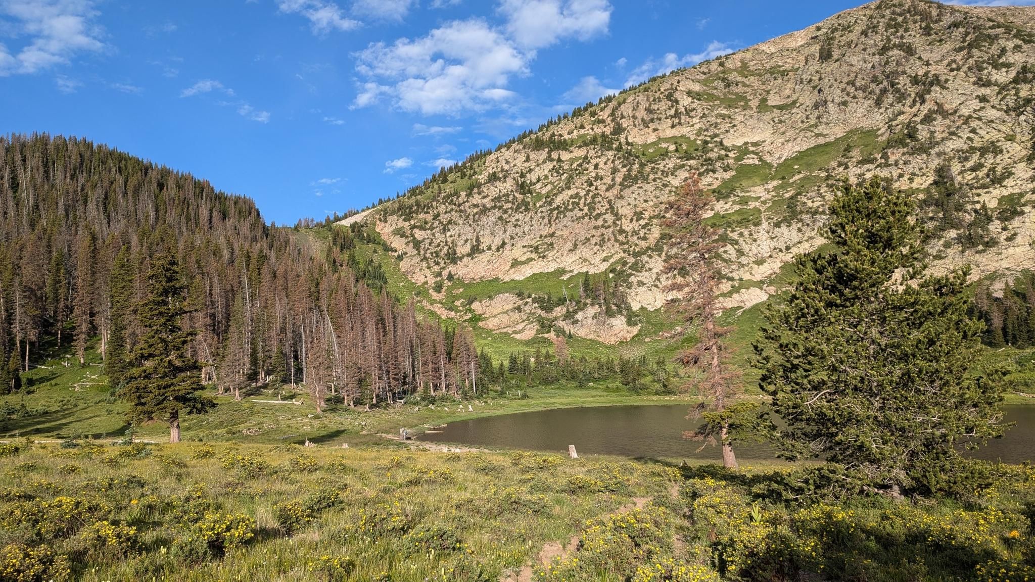
Santa Fe to Taos Thru-Hike — A journey across the Sangre de Cristo Mountains

Great Divide Mountain Bike Route — Cycling the spine of a continent

Cowboy country & Route 66 – Wild West meets legend

Mountain bike paradise around Salida in Colorado

Unforgettable MTB Adventures – IMBA Epic Trails in USA and Canada
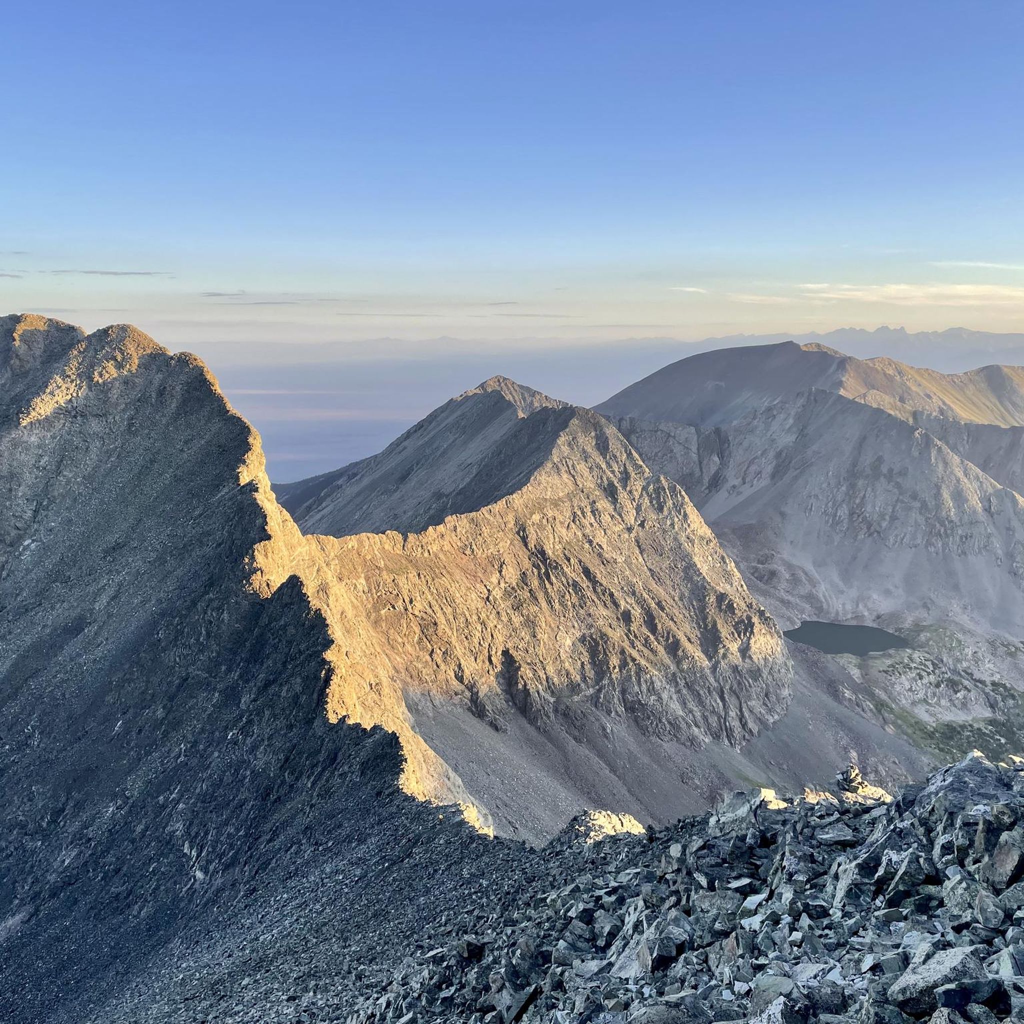
Hiking in the Sangre de Christo Mountains
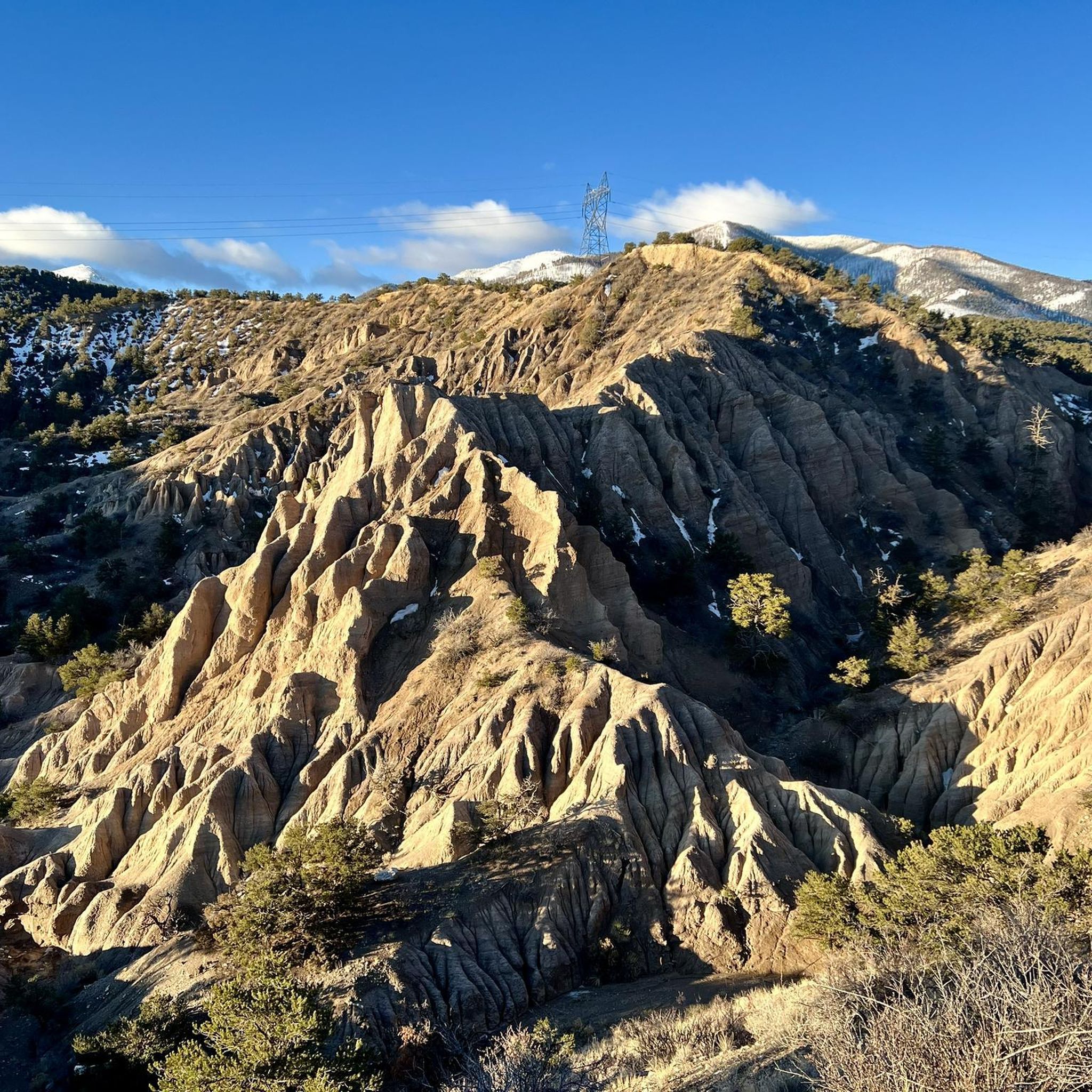
MTB Trails in the Sangre de Christo Mountains
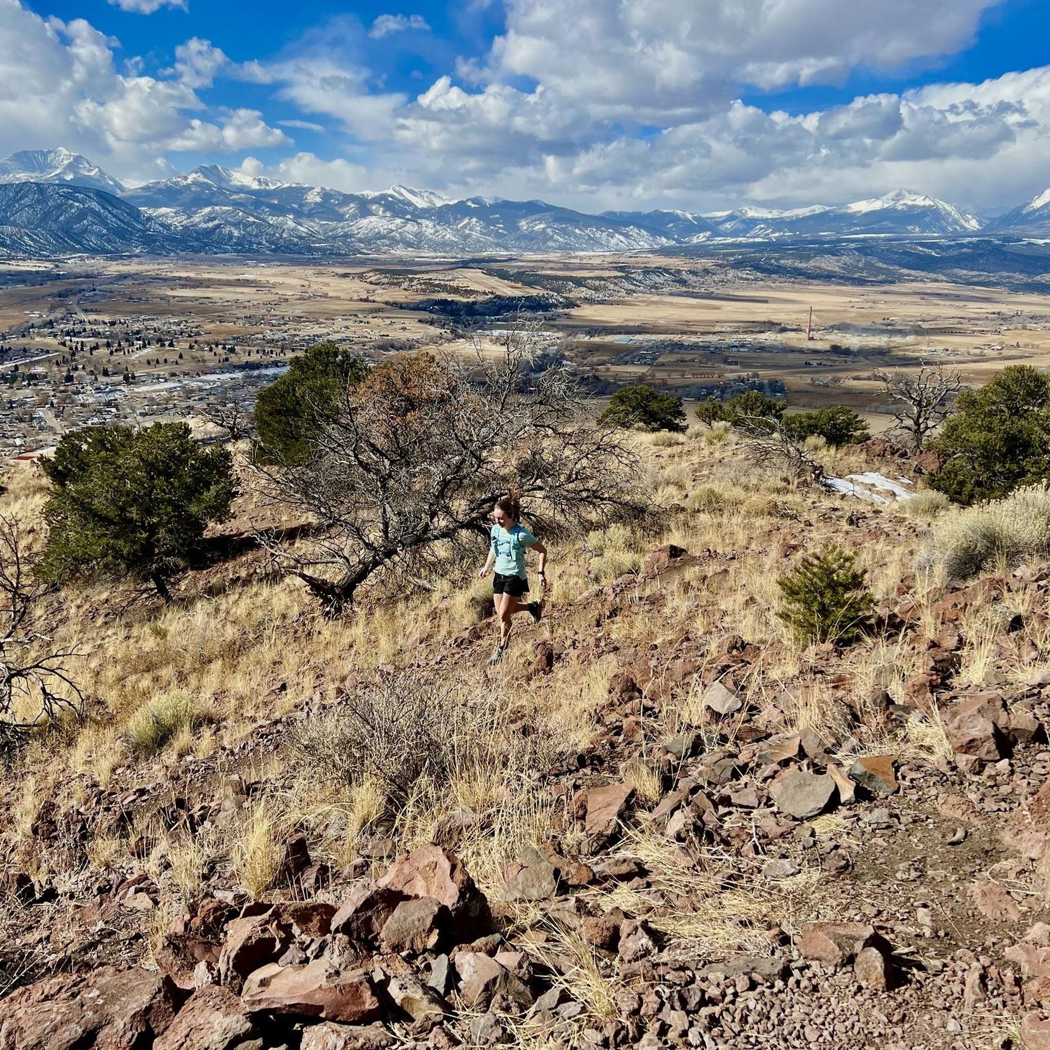
Running Trails in the Sangre de Christo Mountains
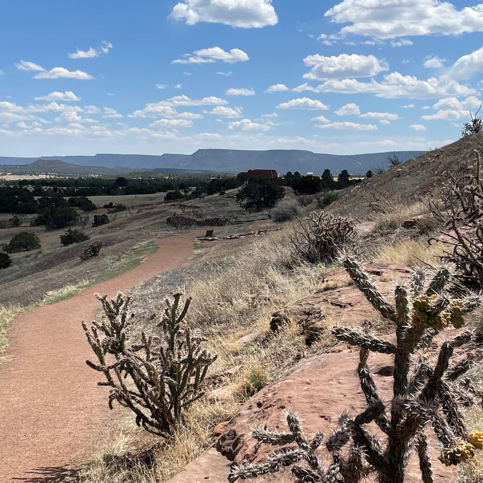
Road Cycling Routes in the Sangre de Christo Mountains
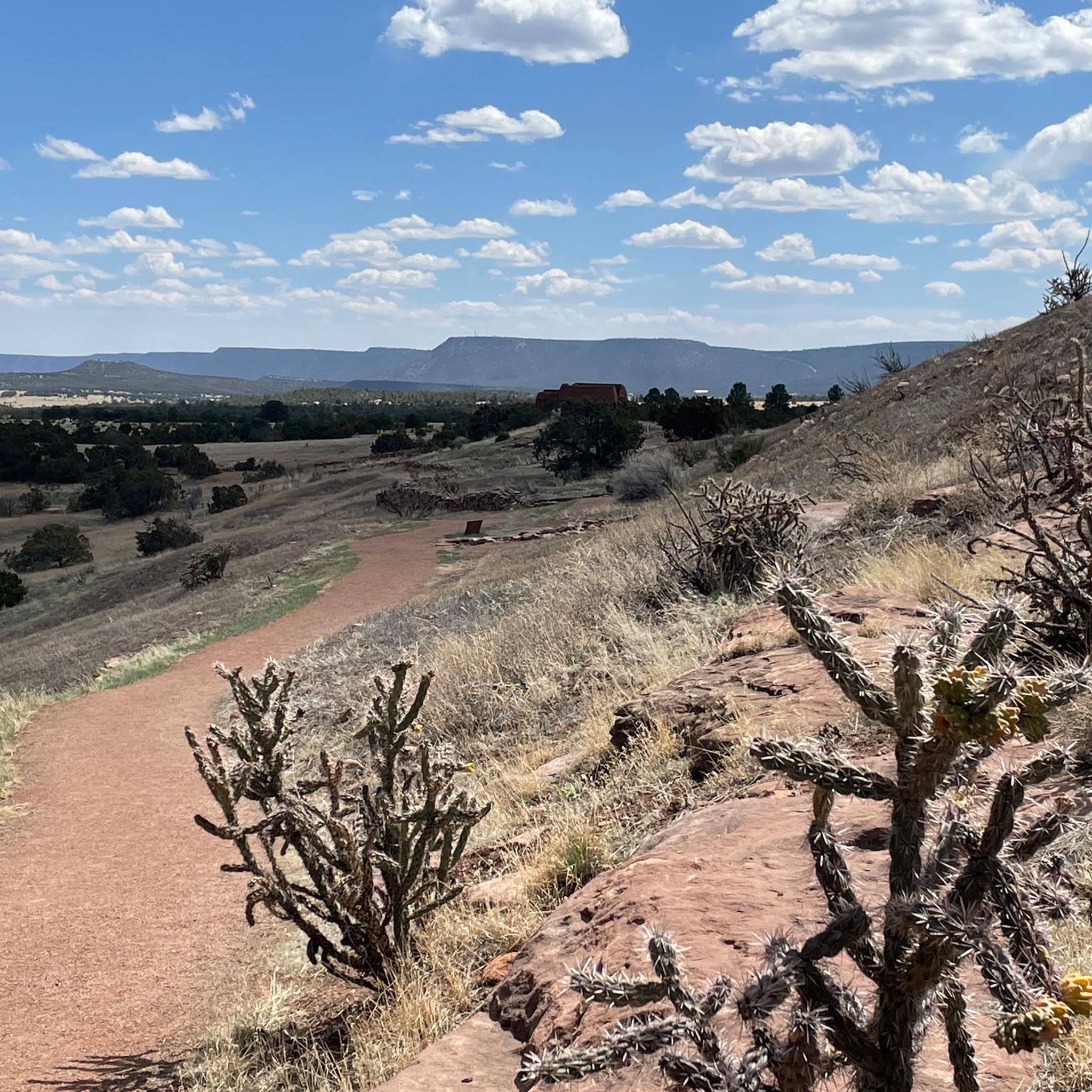
Cycling in the Sangre de Christo Mountains
Other adventures in the Sangre de Christo Mountains


Tips from the Community

The two tiers of the waterfall aren't visible from the outside, but can only be heard. It's essential to walk along the edge or in the riverbed for a while. Depending on the water level, this may be possible without any slippery feet. The stones aren't particularly slippery. This river path should be avoided in winter.
1
0

Definitely worth the hike. The waterfall is hidden between the rock walls, so water shoes are necessary.
1
1

The River Trail parallels the Río Grande, connecting the La Junta Trail with the Little and Big Arsenic Trails, allowing you to make a number of different length loops in the amazing Wild Rivers Recreation Area. You get great views of the river and surrounding dramatic cliffs as you hike.
0
0
The Big Arsenic Springs Trail is a popular out-and-back trail located in the Wild Rivers Recreation Area of the Rio Grande del Norte National Monument. This trail starts at the rim of the mesa above the river, and drops quickly, descending about 600 feet down rocky, steep switchbacks to the Rio Grande. This 1.5 mile trail offers truly stunning views down the gorge as you hike. As you draw closer to the end of the trail keep an eye out for some ancient petroglyphs carved on the rocks above you. You can also link this trail with the River Trail if you wish to extend your hike.
0
0
From this spot on the Rift Valley Trail you get dramatic views across over the deep, steep valleys carved by the Rio Grande River and the mountains to the north. This is a great spot to pause and snap a few photos before continuing on your hike.
0
0
The Slide Trail is a popular trail in the Taos Overlook area of the Rio Grande del Norte National Monument. This trail traverses on a plateau high above the Rio Grande, offering hikers stunning views down steep cliffs over the water. Although this trail is generally pretty flat, there are a few rolling hills, some loose rocks, and there can be steep drop offs to the river below so use caution when hiking. There is also little to no shade along this trail, so be sure to bring plenty of water and sun protection!
0
0

Chacos, Keens, or similar are best for hiking up to the falls. From trailhead to stream is uphill and dusty with scattered benches under trees. Navigating through the stream is short, but water is cold and watch for deep sections.
2
0

Water fall is tucked in the rocks. Bring sandals in the summer, the water is ice cold.
1
0
Frequently Asked Questions
What are some notable natural features and viewpoints in the Sangre de Cristo Mountains canyons?
The region is rich with natural features. You can visit Zapata Falls, a unique 30-foot waterfall hidden within a narrow canyon. The Slide Trail and Big Arsenic Trail offer stunning views down steep cliffs into the Rio Grande Gorge. The Rio Grande Overlook provides dramatic vistas across the deep valleys carved by the river and the northern mountains. The Pecos Wilderness canyons feature impressive 100-foot-drop waterfalls and dramatic rock cliffs.
What kind of terrain can I expect when exploring canyons in the Sangre de Cristo Mountains?
The terrain varies significantly. You'll find high-country elevations ranging from 8,400 feet to over 13,000 feet, with heavily forested slopes and rugged ridges. Canyons like those in the Pecos Wilderness feature crumbled talus slopes and dramatic rock cliffs. Trails such as the Big Arsenic Trail involve rocky, steep switchbacks, while others like The Slide Trail are generally flat with some rolling hills and loose rocks, often with steep drop-offs.
Are there opportunities for whitewater rafting in the Sangre de Cristo Mountains canyons?
Yes, the Taos Box of the Rio Grande Gorge is a premier whitewater rafting destination. It's known for its challenging rapids, with sections categorized as Class IV in the 15-mile Lower Box and Class V+ in the 6-mile Upper Box, which is recommended for experts only. Rapids like "Boat Reamer" and "Screaming Left-Hand Turn" offer intense thrills within this deep basalt canyon.
What wildlife might I encounter in the canyons of the Sangre de Cristo Mountains?
The canyons and surrounding wilderness are home to diverse wildlife. In the Pecos Wilderness, you might spot elk, deer, bear, turkey, and Rocky Mountain Bighorn Sheep. The Rio Grande Gorge, particularly the Taos Box, offers excellent opportunities for viewing bighorn sheep, beavers, and eagles. The area around Zapata Falls is also an ideal environment for the black swift bird.
What are some recommended hiking trails near the canyons?
For hiking, you can explore trails like the Slide Trail, which offers stunning views above the Rio Grande, or the Big Arsenic Trail, descending to the Rio Grande with views of ancient petroglyphs. The River Trail parallels the Río Grande, connecting various trails for different loop options. For more hiking options in the wider region, check out the Hiking in the Sangre de Christo Mountains guide, which includes routes like the Borrego, Windsor, and Bear Wallow Trail Loop.
Are there any family-friendly canyon experiences in the Sangre de Cristo Mountains?
While some canyon areas are rugged, Zapata Falls offers a moderately steep, short hike that is rewarding for families. Wading through the cold waters of Zapata Creek to reach the hidden waterfall can be a unique adventure. The parking lot also provides panoramic views suitable for all ages. Always check specific trail conditions and difficulty before heading out with children.
What is the best time of year to visit the canyons in the Sangre de Cristo Mountains?
The best time to visit depends on your activity. For hiking and enjoying wildflowers, July and August are vibrant months, especially in the high-country meadows of the Pecos Wilderness. For whitewater rafting, the spring and summer months when river levels are higher are ideal. In winter, Zapata Falls transforms into a spectacular column of ice, offering a different kind of experience, though wading through the creek is not recommended then.
What should I pack for a trip to the canyons?
Given the diverse terrain and activities, packing essentials include plenty of water and sun protection, especially for trails with little shade like The Slide Trail. For Zapata Falls, footwear like Chacos, Keens, or similar water sandals are recommended for wading through the cold creek. Layered clothing is advisable due to varying elevations and temperatures.
Are there any historical or cultural sites near the canyons?
Yes, the Big Arsenic Trail in the Rio Grande del Norte National Monument features ancient petroglyphs carved on rocks, offering a glimpse into the region's past. The Sangre de Cristo Mountains themselves hold significant cultural history for indigenous peoples and early settlers.
What other outdoor activities are available near these canyons?
Beyond hiking and whitewater rafting, the region offers a variety of outdoor sports. The Pecos Wilderness provides first-rate fishing opportunities in its numerous lakes and streams for rainbow, brown, and native Rio Grande cutthroat trout. You can also find guides for gravel biking and running trails in the Sangre de Cristo Mountains, with routes like the La Tierra Trails Loop for biking or the Frontside and Tenderfoot Loop for running.
Are permits required for canyon trails in the Sangre de Cristo Mountains?
While many trails are open to the public, specific regulations can apply, especially in protected areas like the Pecos Wilderness. It's always advisable to check with the local land management agencies (e.g., Santa Fe and Carson National Forests, Rio Grande del Norte National Monument) for any required permits or current restrictions before your visit, particularly for overnight stays or specific activities.
What makes the Pecos Wilderness canyons unique?
The Pecos Wilderness canyons are characterized by their deep, narrow formations, particularly on the western side, with impressive 100-foot-drop waterfalls and dramatic rock cliffs. They are part of a vast protected area with high-country elevations, diverse wildlife, and extensive trail systems. The area is also the sole known location for the rare Ipomopsis sancti-spiritus plant in one specific canyon.
Most popular routes in the Sangre de Christo Mountains
Most popular attractions in the Sangre de Christo Mountains

Get inspired with the komoot mobile app


Explore more
Already discovered everything in this region? See additional gorges in the Sangre de Christo Mountains for your next adventure:
