Top 12 Gorges around Bisingen
Best canyons around Bisingen are characterized by the region's unique geological features, including the Swabian Alb's rolling hills and dense forests. The landscape is shaped by significant geological formations such as the Hohenzollerngraben, a geological rift that exposes various rock layers. These natural features provide dramatic scenery and opportunities for hiking. The area offers insights into the geological forces that formed Central Europe.
Best canyons around Bisingen
- The most popular canyons is Hohenzollerngraben, a gorge that is a geological…
Last updated: September 30, 2026
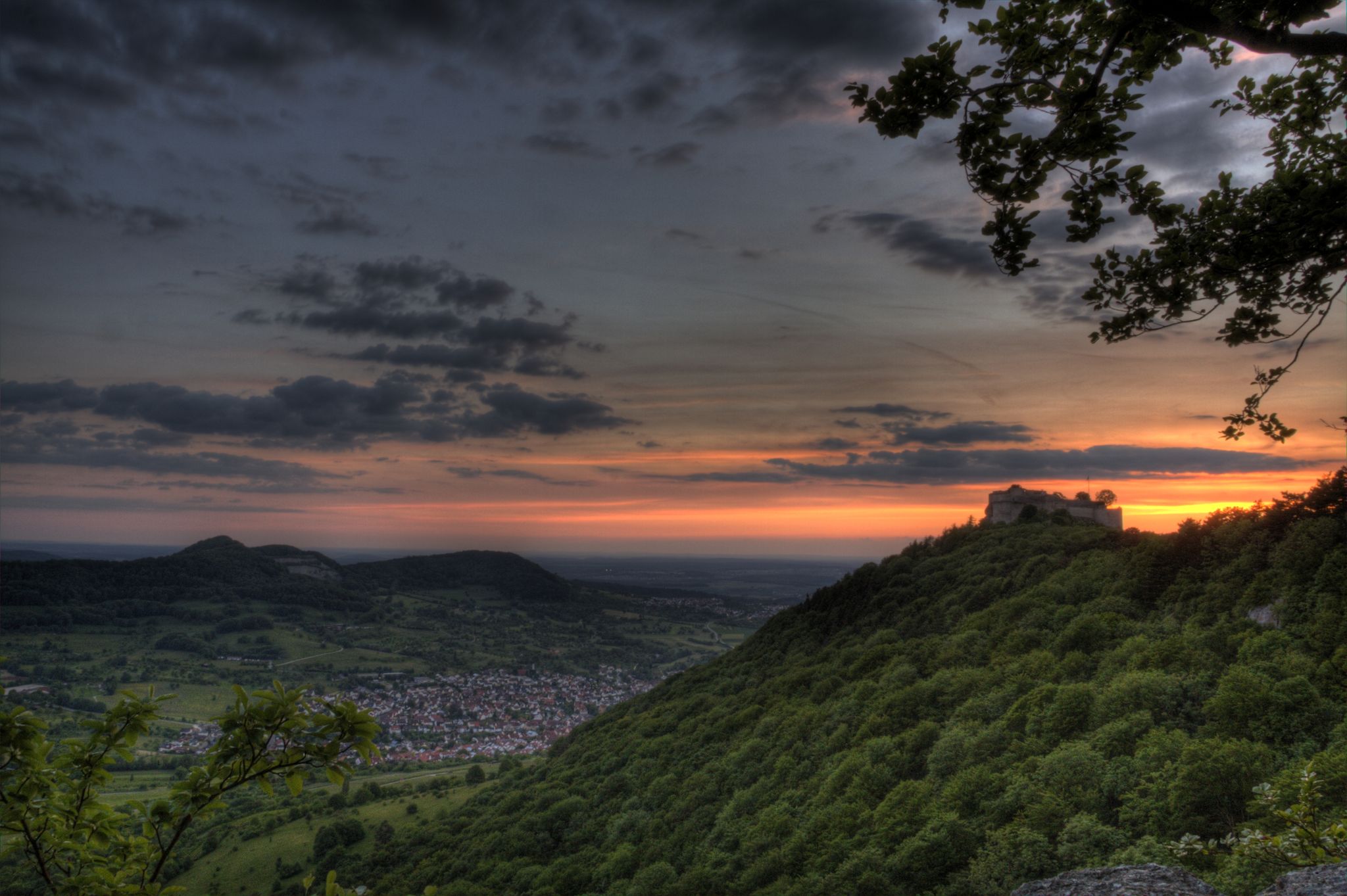
Hohenzollerngraben
Highlight • Gorge
Translated by Google •
Tip by

Felsenmeer (Swabian Jura)
Highlight • Natural Monument
Showing Translation
Tip by

Sign up now to discover places like this
Get recommendations on the best single tracks, peaks, & plenty of other exciting outdoor places.
Hirschkopf Landslide (Mössingen)
Highlight • Natural Monument
Translated by Google •
Tip by

Split Rock on Schafberg
Highlight • Natural Monument
Translated by Google •
Tip by

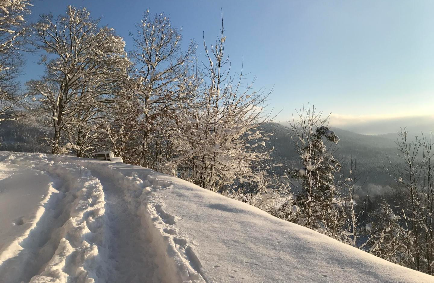
Escarpment Edge of the Swabian Jura
Highlight • Natural Monument
Translated by Google •
Tip by

Sign up for free to discover even more gorges around Bisingen.
Already have an account?
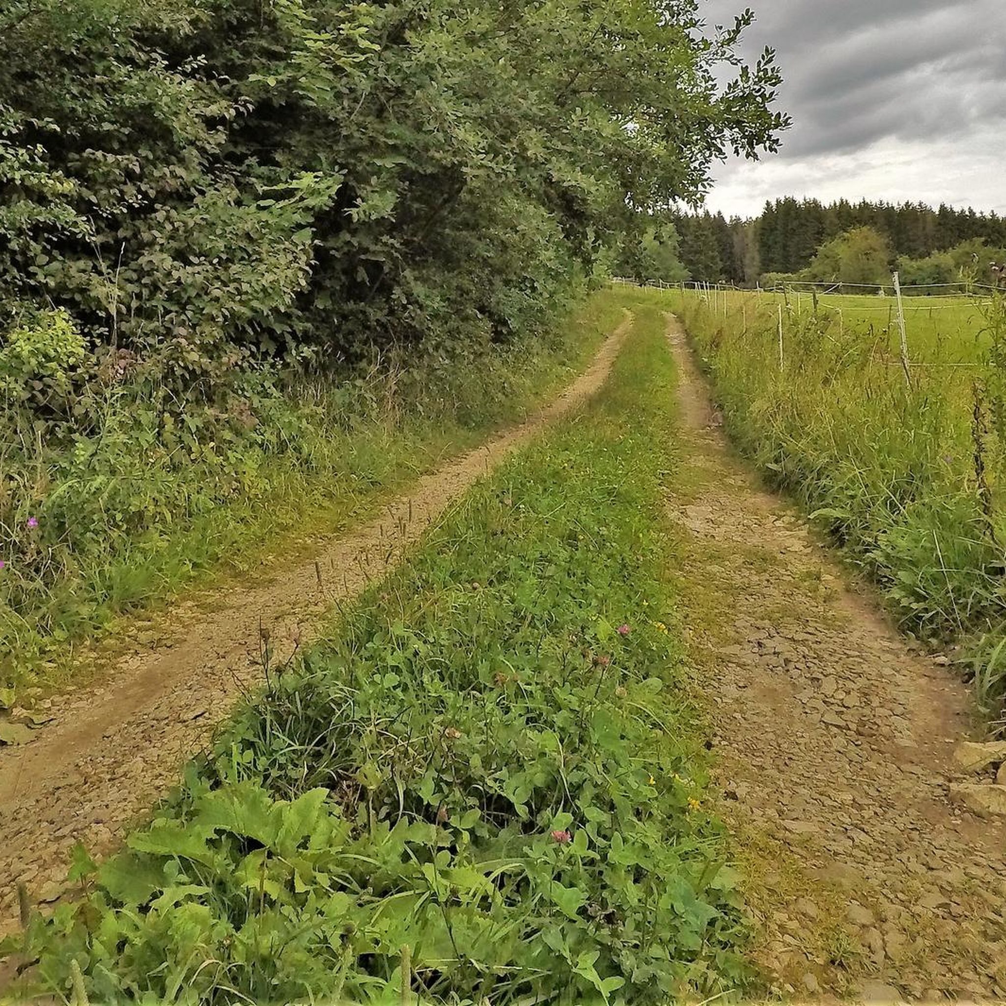
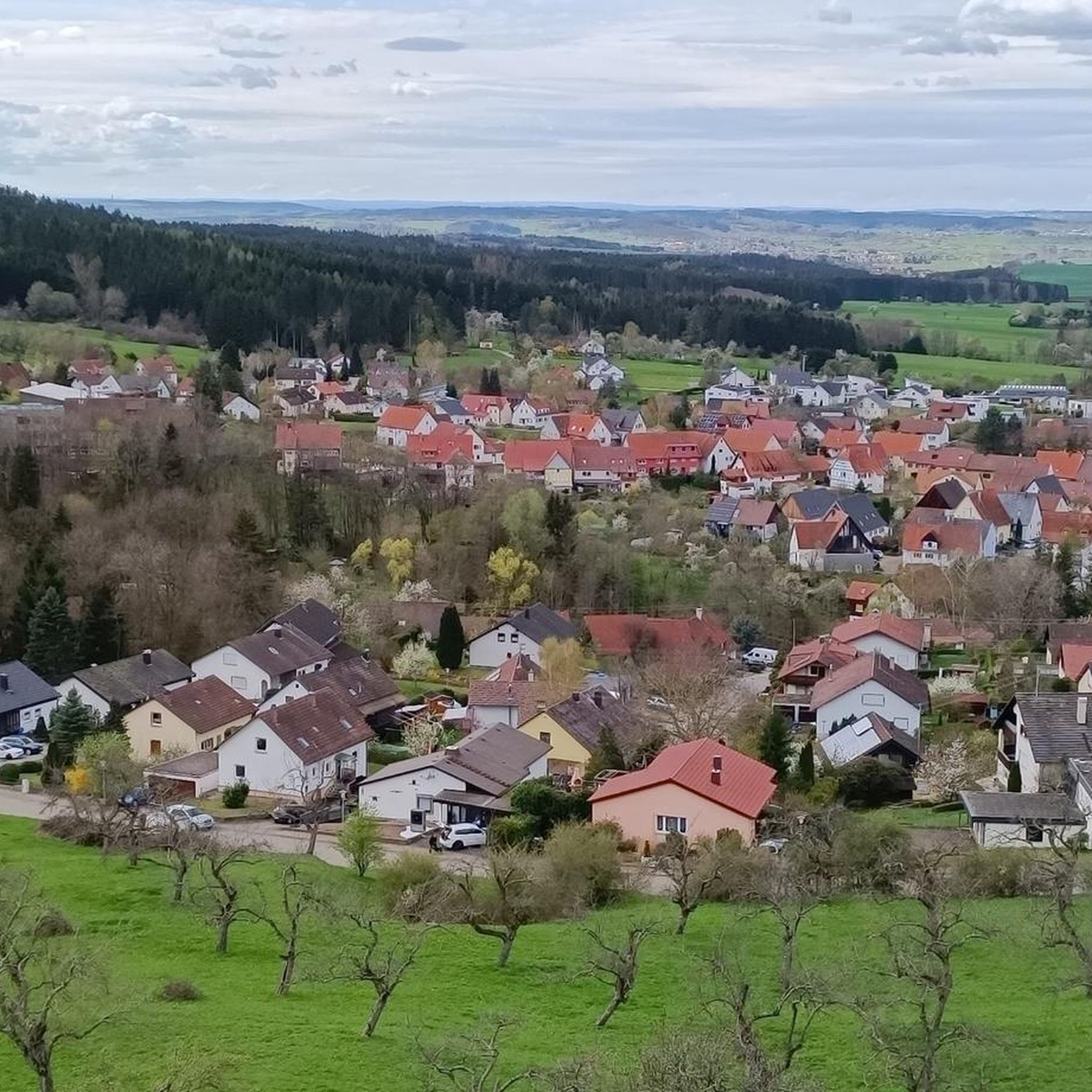
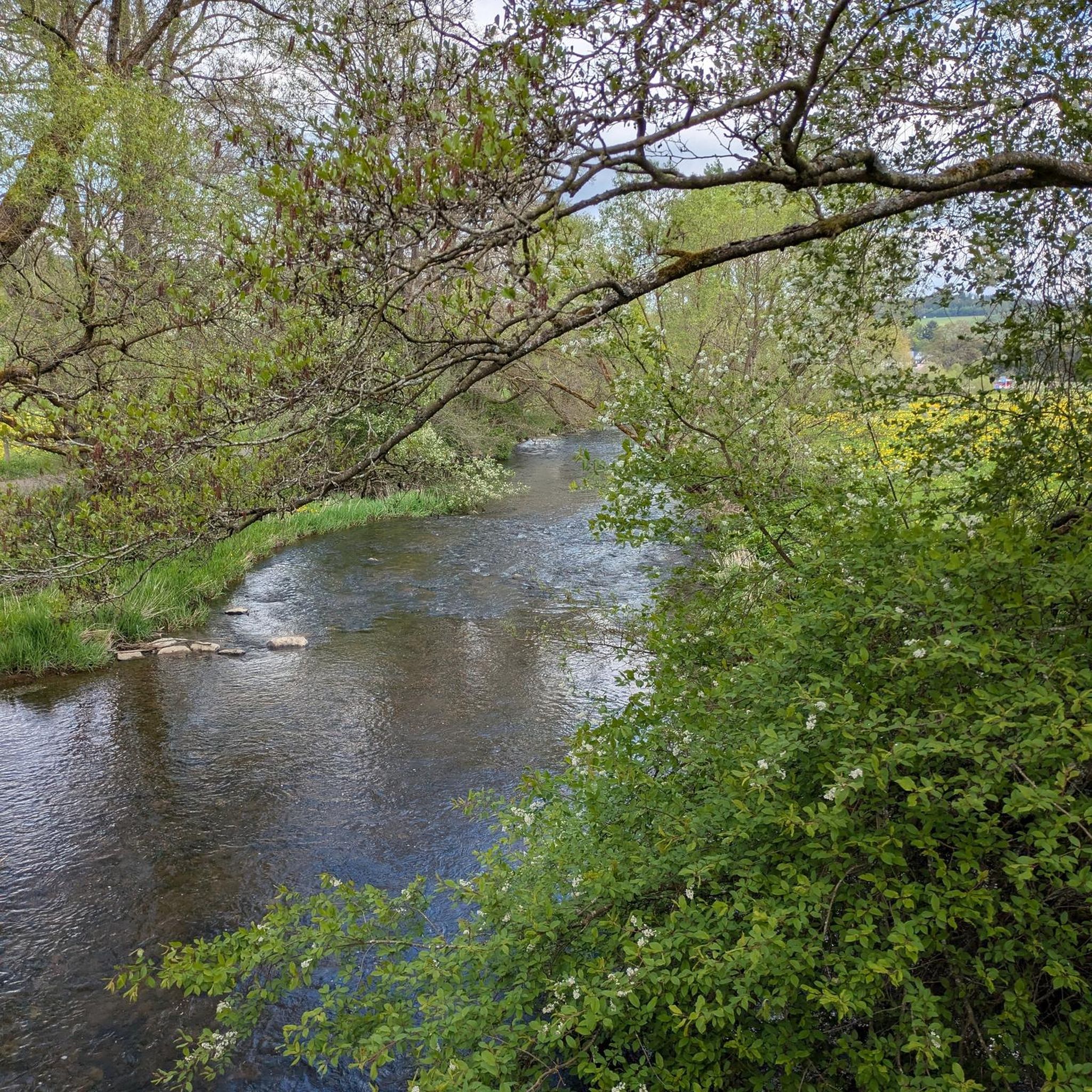



Tips from the Community

A geological peculiarity is included in the tour.
8
0

The Hohenzollern Graben is a geological fault line that stretches from southwest Germany to Austria. It was created by tensions in the Earth's crust that led to shifts millions of years ago. The rift is particularly striking along the Swabian Alb, where it clearly shapes the landscape. Rock layers are exposed here that would otherwise remain hidden. The area is of great interest to geologists because it provides deeper insights into the development of Central Europe.
3
0

There are always impressive cracks on the edge of the cliff, but these have nothing to do with the Zollerngraben. The fault zone even runs across the Albtrauf and is actually higher than the surrounding area.
4
0

The name “eaves edge” requires no further explanation.
3
0
The Hohenzollern Graben was formed 15 million years ago as a result of the tectonic tensions caused by the folding of the Alps under the pressure of the African plate and the associated uplift of the Swabian Alb. The enormous forces created cracks, crevices and trenches. Although it is a collapse area, the terrain inside the graben towers above its surroundings. This so-called relief reversal is particularly evident in the example of the Hohenzollern, where a height difference of up to 350 meters is reached. As a witness mountain, it owes its position and formation to the harder, more erosion-resistant types of rock inside the graben. On the Alb plateau, too, the hilly, wooded terrain along the graben stands out from the flatter, unforested surroundings outside the graben. Source: https://de.wikipedia.org/wiki/Hohenzollerngraben#Entstehung If the above is correct, this is nothing more than a crack/cleft but not the Zollerngraben.
5
0

A magnificent natural monument, but when visiting, please remember that we are in a nature reserve.
3
0

it really goes down there, impressive
1
0

The Hohenzollerngraben or Zollerngraben is the name given to the geological rift in the southwestern Swabian Alb in Baden-Württemberg, which is over 30 kilometers long and on average 1.5 kilometers wide. https://www.zollernalb.com/attraktionen/hohenzollerngraben-7eefd052cc
20
0
Frequently Asked Questions
What unique geological features can I explore in the canyons around Bisingen?
The region around Bisingen is shaped by significant geological formations, most notably the Hohenzollerngraben. This geological rift, approximately 30 kilometers long, exposes various rock layers and offers insights into the tectonic forces that shaped Central Europe. You can also find impressive clefts at the Hirschkopf Landslide (Mössingen) and bizarre rock formations at Felsenmeer (Swabian Jura).
Are there family-friendly canyon trails or gorges near Bisingen?
Yes, some areas offer adventures suitable for families. For instance, the Split Rock on Schafberg is described as a 'nature playground' where older children and the young at heart can explore crevices. Many trails in the gorges are accessible, but always check the specific route difficulty.
What is the best time of year to visit the gorges and canyons around Bisingen?
The gorges and canyon-like formations around Bisingen, particularly in the Swabian Alb, are enjoyable throughout much of the year. Spring and autumn offer pleasant temperatures and vibrant foliage, while summer provides a refreshing experience with streams carving through the landscape. Winter can also be beautiful, though some paths might be more challenging due to snow or ice.
What kind of outdoor activities can I do near the canyons around Bisingen?
The area offers a variety of outdoor activities. You can find numerous hiking trails, including easy options like the 'Forest path in Gewann Härle' or more challenging routes with views of Hohenzollern Castle. There are also gravel biking routes and running trails. For more details, explore the easy hikes around Bisingen, gravel biking routes, and running trails guides.
Are there any viewpoints offering panoramic views of the canyons or the Swabian Alb?
Absolutely. The Hohenzollerngraben itself offers stunning panoramic views due to its unique geological structure. The Hirschkopf Landslide (Mössingen) also provides impressive viewpoints along its narrow paths. Additionally, the Escarpment Edge of the Swabian Jura features fantastic panorama points where the Alb drops dramatically into the valley.
What is the difficulty level of hiking trails in the gorges around Bisingen?
Hiking difficulties vary. Some trails, like those around the Hohenzollerngraben, are generally intermediate. The Felsenmeer (Swabian Jura) is considered challenging due to its rocky landscape, while the Escarpment Edge of the Swabian Jura also has challenging sections with steep drops. Always check specific route details for an accurate assessment.
Can I bring my dog on the canyon trails near Bisingen?
Many outdoor trails in the Swabian Alb region are dog-friendly, allowing you to explore the natural beauty with your canine companion. However, it's always recommended to keep dogs on a leash, especially in protected natural areas or near wildlife. Specific regulations might apply to certain natural monuments, so check local signage.
Are there any cafes or restaurants near the canyon areas for refreshments?
While the immediate vicinity of some remote gorges might not have direct amenities, Bisingen and surrounding towns offer various cafes and restaurants where you can refuel before or after your adventure. It's a good idea to plan your route and check for options in nearby villages.
What makes the Hohenzollerngraben a significant natural landmark?
The Hohenzollerngraben is a geological fault line, a rift formed by tectonic tensions from the Alpine folding millions of years ago. It's significant because it exposes rock layers that would otherwise be hidden, offering geologists and visitors a unique insight into the Earth's crust and the geological development of Central Europe. Its dramatic topography also provides stunning views.
What should I wear or bring when exploring the gorges and canyon-like areas?
When exploring the gorges and rugged terrain, it's advisable to wear sturdy hiking boots with good grip, as paths can be uneven, rocky, or slippery, especially after rain. Layered clothing is recommended to adapt to changing weather conditions. Bringing water, snacks, and a map or GPS device is also wise, particularly for longer or more challenging routes.
How long does it typically take to hike through some of the gorges?
The duration of a hike depends on the specific gorge or trail and your pace. Shorter, easy loops might take an hour or two, while more extensive routes exploring areas like the Hohenzollerngraben or the Escarpment Edge of the Swabian Jura could be half-day or full-day excursions. Always check the estimated time for individual routes.
Are there any hidden gem canyons or lesser-known gorges worth exploring near Bisingen?
While the prominent features like the Hohenzollerngraben and Felsenmeer (Swabian Jura) are popular, the broader Swabian Alb region is rich in smaller 'Schluchten' (gorges) and valleys. Exploring local hiking maps or komoot routes can reveal less-trafficked paths that offer serene natural experiences and unique rock formations away from the main crowds.
Most popular routes around Bisingen
Most popular attractions around Bisingen

Get inspired with the komoot mobile app


Explore more
Already discovered everything in this region? See additional gorges around Bisingen for your next adventure:
