The best walks and hikes around Krauthausen
4.7
(30640)
99,497
hikers
16
hikes
Hiking around Krauthausen offers diverse trails through rolling hills and lush forests within the scenic Werra Valley. The region is characterized by its natural features, including the Werra River and proximity to the Thuringian Forest. Hikers can explore routes along riverbanks and through varied terrain, with the Hörselberg also providing notable natural landscapes.
Best hiking trails around Krauthausen
- The most popular hiking route is Hiking parking lot Creuzburg – Werra Bridge, Creuzburg loop from Spichra, a 7.6 miles (12.2…
Last updated: November 1, 2026
4.9
(7)
31
hikers
Moderate hike. Good fitness required. Easily walkable paths.
4.7
(10)
36
hikers
Moderate hike. Good fitness required. Easily walkable paths.

4.9
(18)
62
hikers
Easy hike. Easily walkable paths.
4.8
(8)
47
hikers
Easy hike. Easily walkable paths.
4.7
(3)
24
hikers
7.21km
01:58
100m
100m
Easy hike. Easily walkable paths.
Get access to more routes and recommendations from other explorers.
Already have an account?
Our route recommendations are based on thousands of hikes, rides, and runs completed by other people on komoot.
Start today with a free account
Your next adventure awaits.
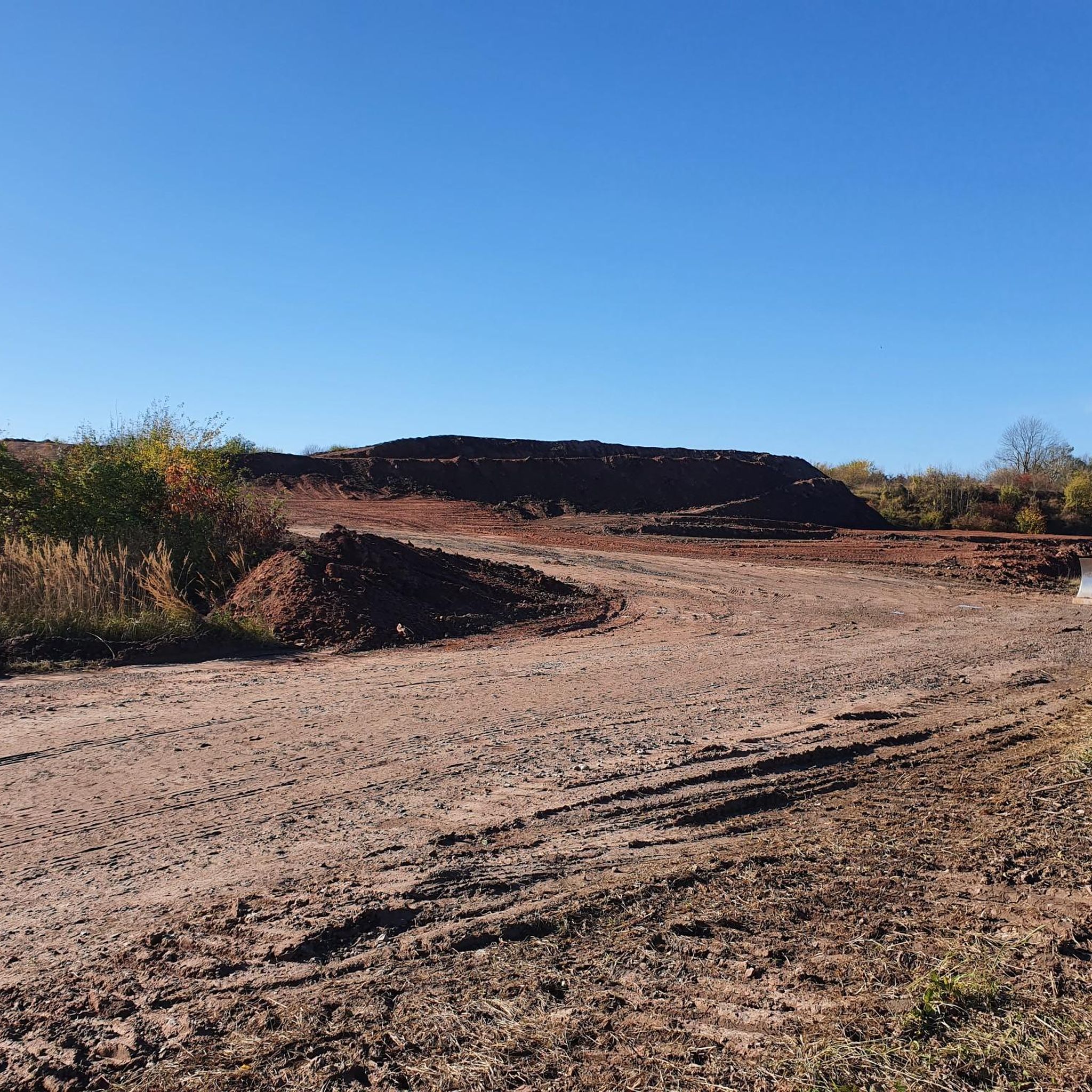
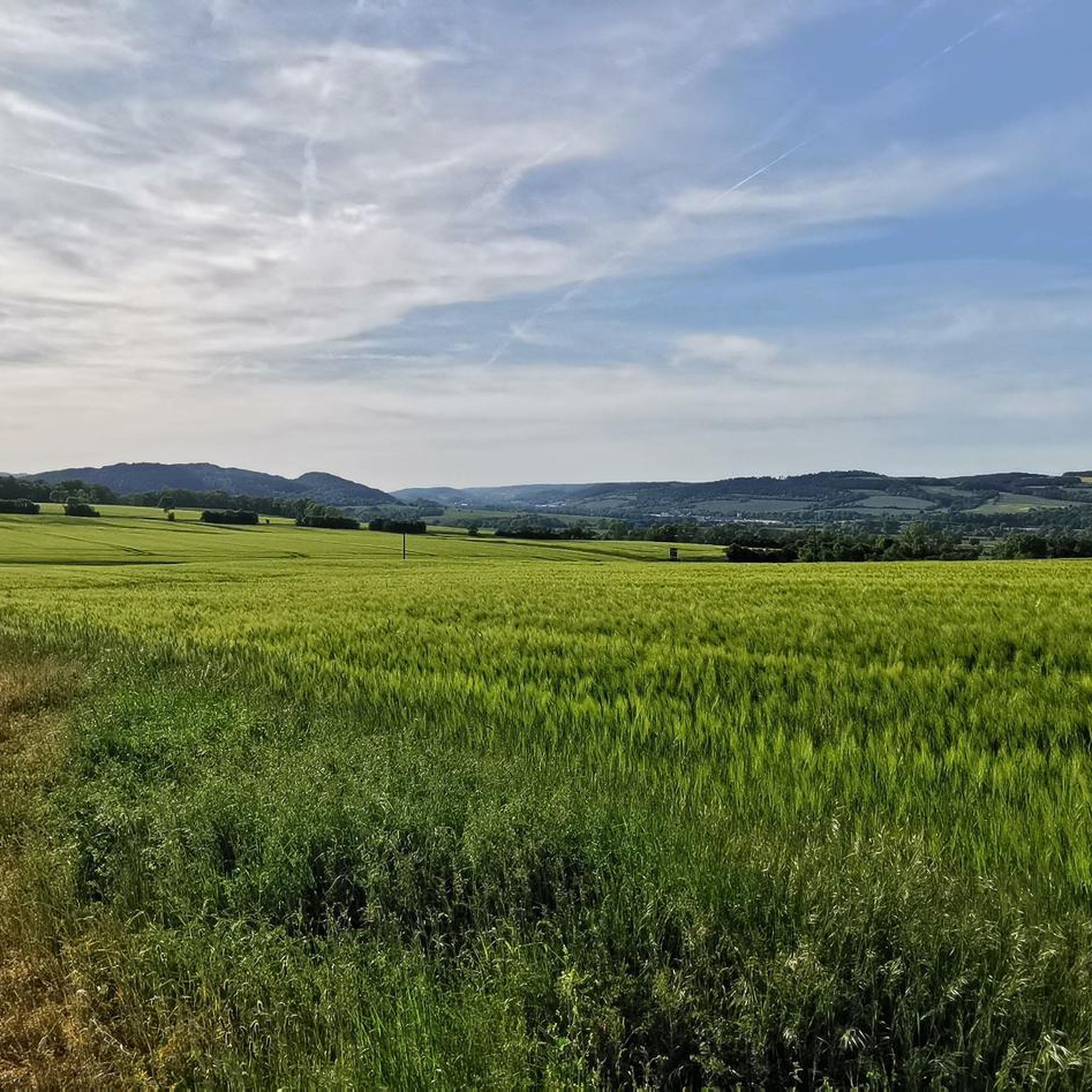
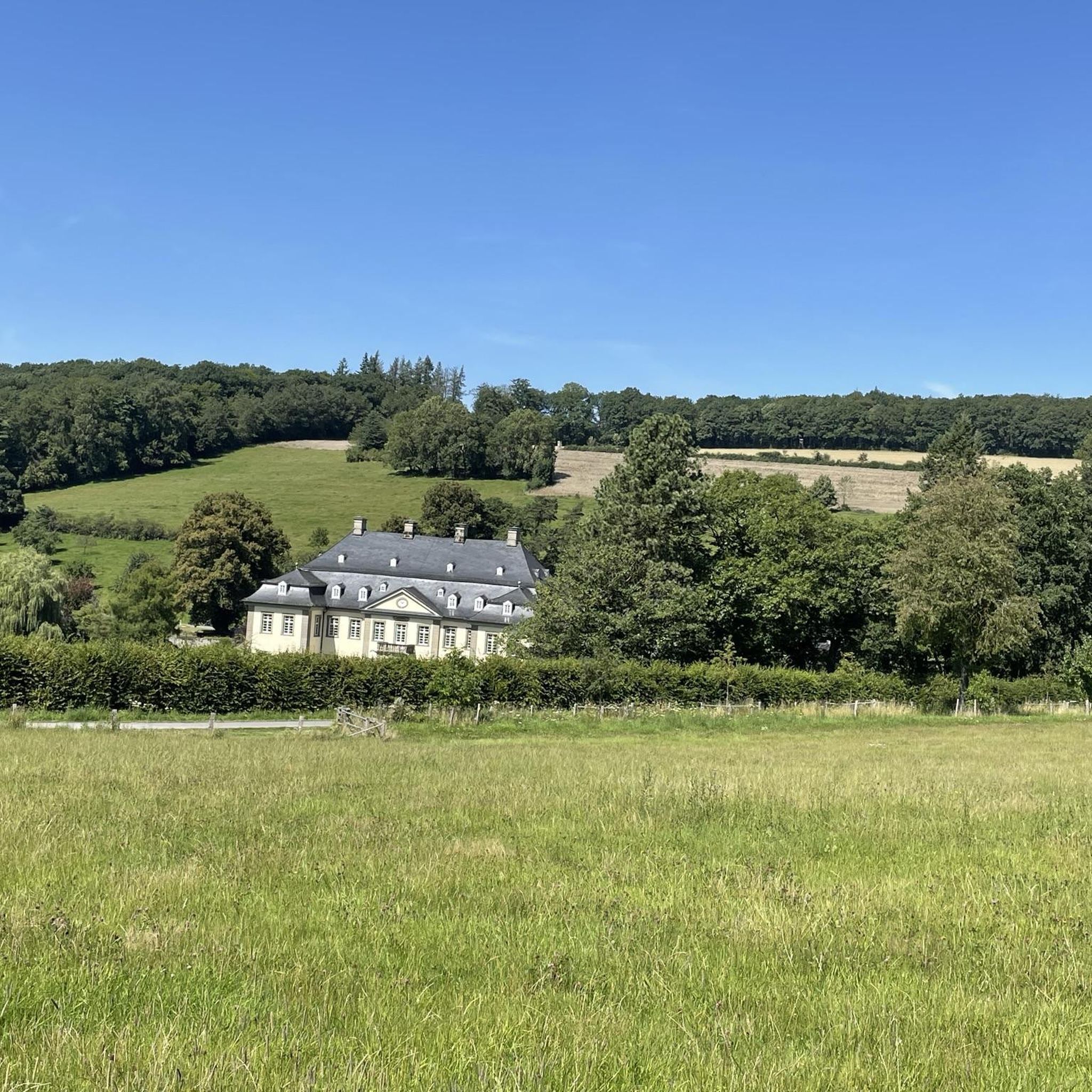

Tips from the Community

The Elisabethpfad 2 from Eisenach to Marburg is 193 km long; the Way of St. James is 178 km due to occasionally deviating routes. The Pilgrim Guide 2: Eisenach Marburg describes the Elisabethpfad from Eisenach to Marburg. At the same time, this pilgrim route closes a gap in the network of the Way of St. James. As a Way of St. James, it offers route variations in some places that are closer to the historically assumed routes of the St. James pilgrims. These are marked with the scallop shell. The Elisabethpfad, on the other hand, is marked with the Elisabethpfad logo. In the forest, the marking is then always reduced to painted yellow arrows. https://www.elisabethpfad.de/aktuell/detail/pilgerfuehrer-2-eisenach-marburg-985
0
0

Creuzburg with its castle of the same name, lies on the border of Hesse and Thuringia and above the river Werra. Beautiful, wonderful Thuringia and Hesse - very interesting in terms of settlement and cultural history, embedded in a varied landscape.
0
0

Added to the collection: https://www.komoot.com/de-de/collection/3600632/-naturdenkmaeler-besondere-baeume-und-weitere-schaetze-der-natur
1
0

what a beautiful landscape
0
0

The castle is very impressive and definitely worth a detour. The climb up there is steep, but doable.
0
0

The saying of the monk Bernard of Clairvaux is absolutely true: "You will find more in the forests than in books. The trees and the stones will teach you things that no man will tell you."
0
0

Shortly before the end of the tour you can take another beautiful look at the Creuzburg from here.
0
0
Frequently Asked Questions
How many hiking trails are available around Krauthausen?
Krauthausen offers a selection of 18 hiking trails, ranging from easy strolls to moderate hikes. This variety ensures there's something for every preference and fitness level.
What kind of terrain can I expect on Krauthausen's hiking trails?
The hiking trails around Krauthausen are characterized by rolling hills, lush forests, and scenic river valleys, particularly within the Werratal (Werra Valley). You'll find paths along the Werra River and through varied natural landscapes, including areas near the Hörselberg.
Are there any easy hiking trails suitable for beginners or families?
Yes, Krauthausen has several easy trails. For instance, the Stiftsgut Wilhelmsglücksbrunn – Spichra Hydroelectric Power Plant loop from Spichra is an easy 4.1-mile (6.6 km) path offering pleasant views. Another accessible option is the Volkspark Madelungen Pond loop from Krauthausen, a 3.5-mile (5.6 km) trail through local parkland.
Are there any circular hiking routes in the Krauthausen area?
Many of the trails around Krauthausen are designed as loops, offering convenient circular walks. Examples include the Hiking parking lot Creuzburg – Werra Bridge, Creuzburg loop from Spichra, which is a moderate 7.6-mile (12.2 km) route, and the easier Spichra Hydroelectric Power Plant – Stiftsgut Wilhelmsglücksbrunn loop from Spichra, covering 3.4 miles (5.5 km).
What are some notable natural attractions or landmarks I can see while hiking?
While hiking around Krauthausen, you can explore various natural and historical points of interest. The region is close to the Werra River, and trails often follow its banks. Nearby attractions include the dramatic Dragon Gorge and its narrowest point, as well as the Great Drachenstein Oak and Viewpoint. For a touch of history, Wartburg Castle is also within reasonable distance.
Are there any waterfalls or unique natural features to discover?
Yes, the region offers some unique natural features. You can find the enchanting Fairy grotto, which is a highlight in the area. The Werratal itself, with the Werra River, provides picturesque natural scenery.
What do other hikers say about the trails in Krauthausen?
The hiking routes in Krauthausen are highly rated by the komoot community, with an average score of 4.7 stars from over 3,900 reviews. Hikers often praise the diverse terrain, the peaceful atmosphere of the forests, and the scenic paths along the Werra River.
When is the best time of year to go hiking in Krauthausen?
Spring and autumn are particularly recommended seasons for hiking in Krauthausen. The mild weather during these times makes for comfortable conditions, and autumn brings vibrant colors to the foliage, enhancing the natural beauty of the area.
Are there any viewpoints offering scenic vistas?
Yes, the varied landscape of rolling hills and forests provides several opportunities for scenic views. The Great Drachenstein Oak and Viewpoint is a notable spot, and the Wisch Viewpoint also offers expansive vistas of the surrounding region.
Are there any places to stop for refreshments or a meal along the trails?
While specific cafes directly on every trail might vary, the broader region around Krauthausen offers options. For example, the Sängerwiese Forest House is a place where hikers can find refreshments. Additionally, the nearby villages and towns often have local pubs or restaurants.
Is Krauthausen a good destination for long-distance hiking?
Krauthausen is situated near significant long-distance trails. The famous Rennsteig Trail, stretching over 170 kilometers along the ridge of the Thuringian Forest, is accessible from the broader region and offers breathtaking views for those seeking longer adventures. The Luther Trail is another significant route for history and nature enthusiasts.
Most popular routes around Krauthausen
Most popular attractions around Krauthausen

Get inspired with the komoot mobile app


Explore more
Browse the best Hikes in other regions.
