The 10 Most Amazing Peaks around Freudental
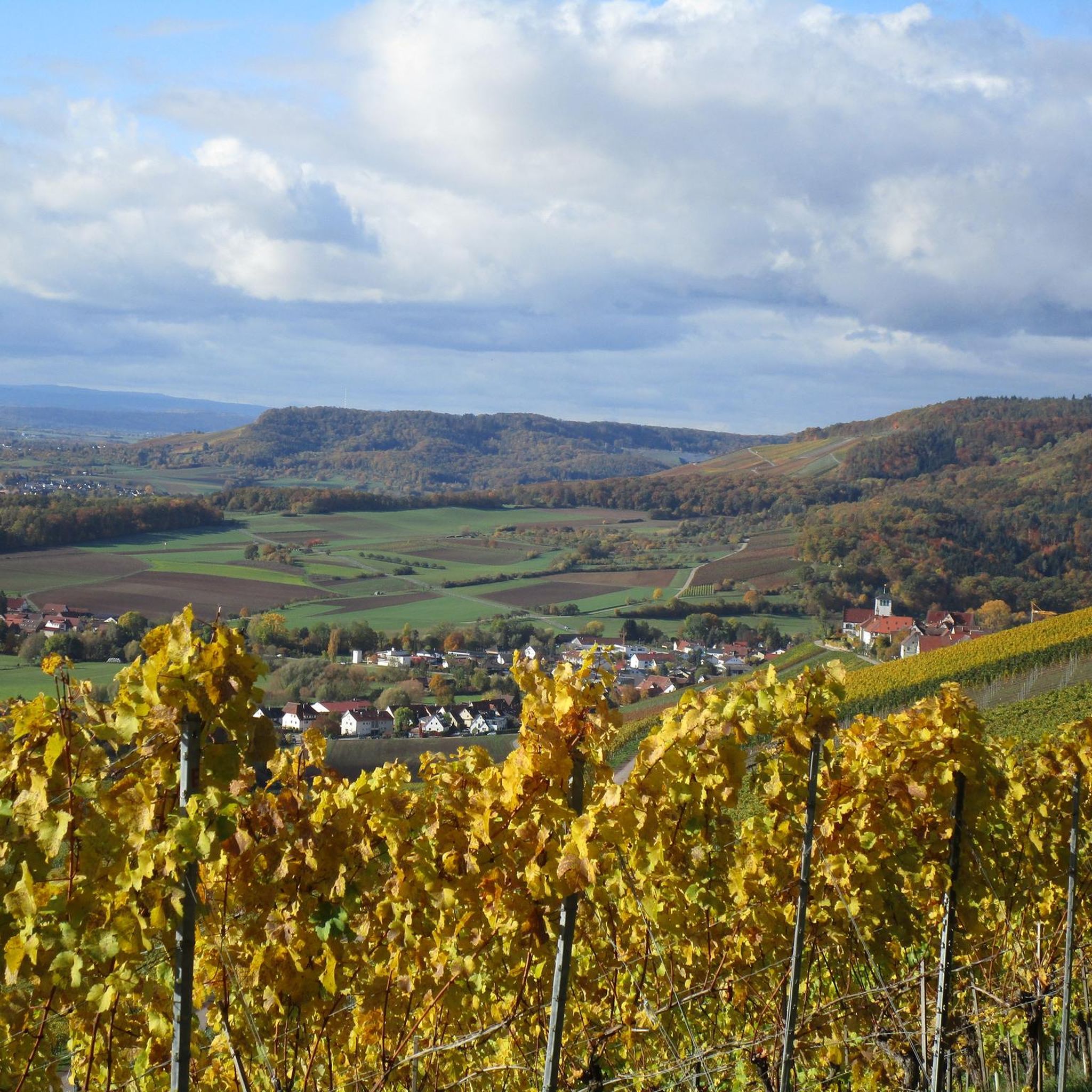
Mountain peaks around Freudental, a municipality in Baden-Württemberg, Germany, are characterized by rolling hills, deciduous forests, and vineyards. The region's terrain features prominent elevations that offer diverse hiking opportunities and panoramic views over the surrounding landscape. While not towering mountains, these natural features contribute to the area's appeal for outdoor enthusiasts. The landscape is predominantly defined by undulating terrain, extensive forests, and agricultural areas.
Best mountain peaks around Freudental
- The most popular mountain peaks is Michaelsberg, Cleebronn, a summit…
Last updated: August 6, 2026
Michaelsberg, Cleebronn
Highlight • Summit
Translated by Google •
Tip by

Baiselsberg – Highest Point in Stromberg
Highlight • Summit
Translated by Google •
Tip by

Sign up now to discover places like this
Get recommendations on the best single tracks, peaks, & plenty of other exciting outdoor places.
Sign up for free
Schlierkopf Summit
Highlight • Summit
Translated by Google •
Tip by

View from the stone bench at the Schönenberg summit
Highlight • Viewpoint
Translated by Google •
Tip by
View of Michaelsberg
Highlight • Viewpoint
Translated by Google •
Tip by

Sign up for free to discover even more peaks around Freudental.
Sign up for free
Already have an account?
Start today with a free account
Your next adventure awaits.
Login or Signup
Popular around Freudental

Spring in the land of 1,000 hills – Kraichgau-Stromberg in Germany

Wander3Klänge: Einfach Los Wandern im Naturpark Stromberg-Heuchelberg

Zu Fuß durchs Land der 1000 Hügel
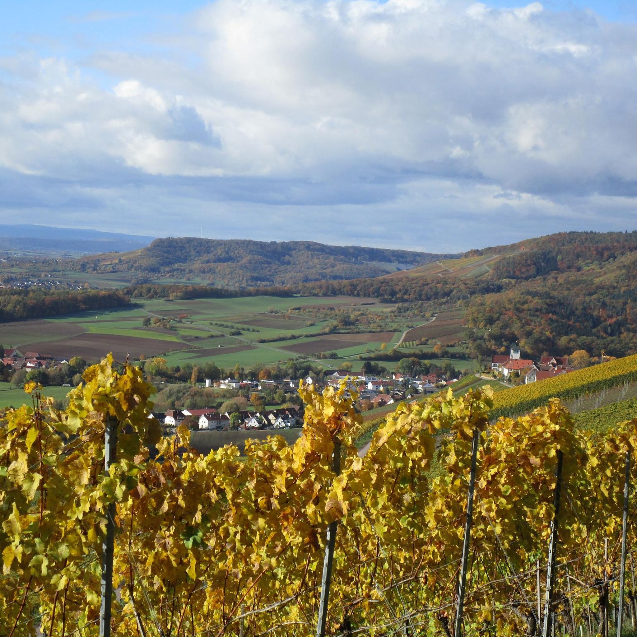
Hiking around Freudental
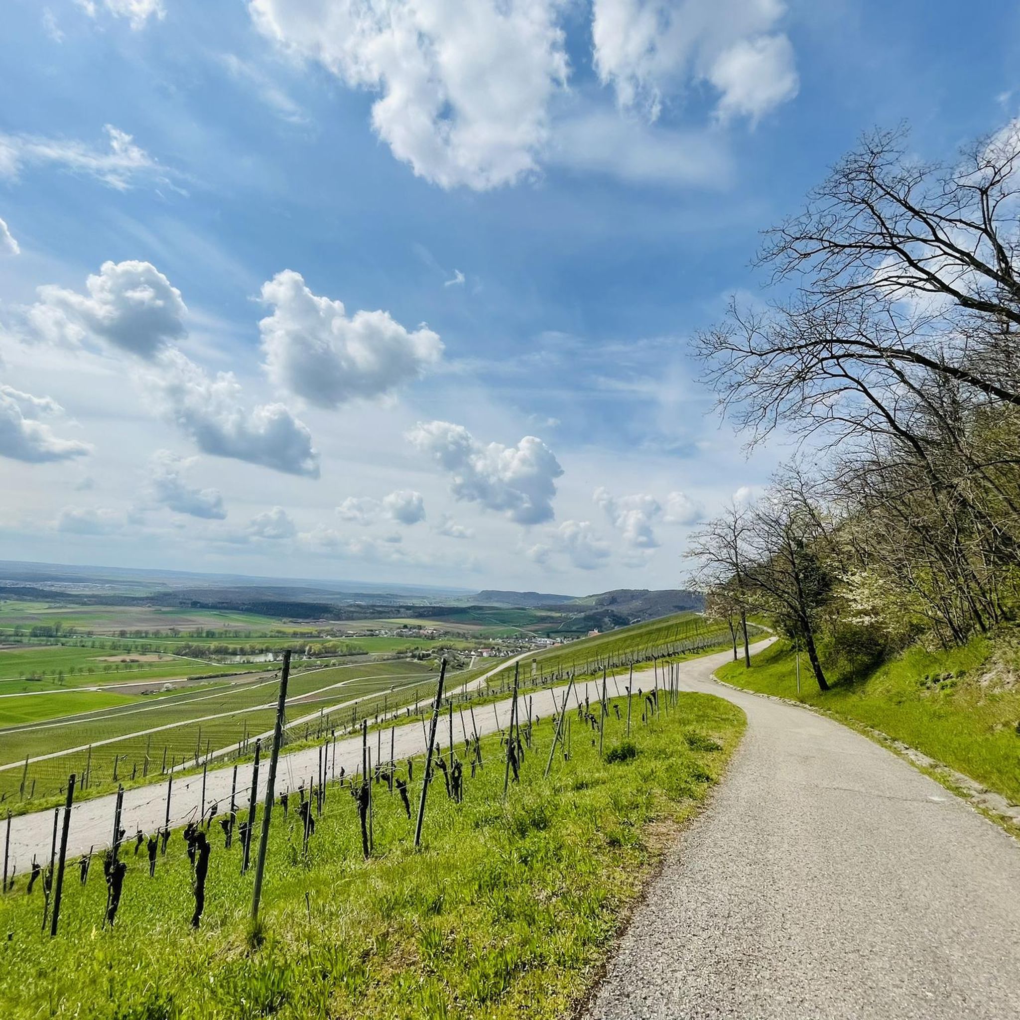
MTB Trails around Freudental

Gravel biking around Freudental
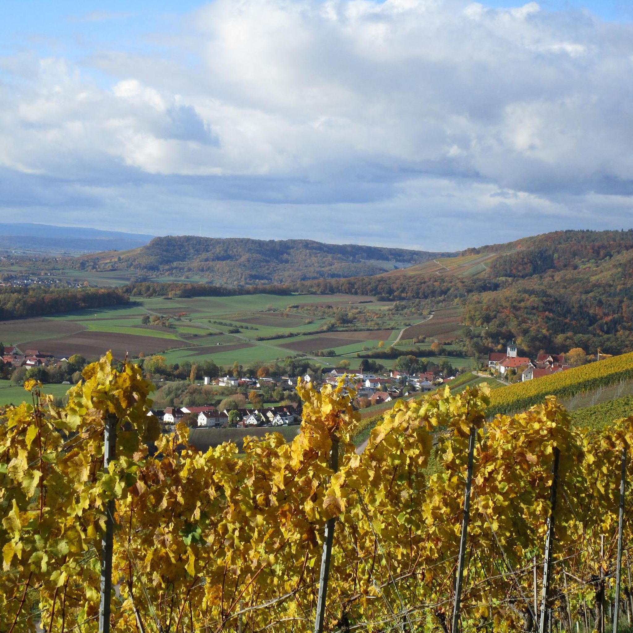
Road Cycling Routes around Freudental
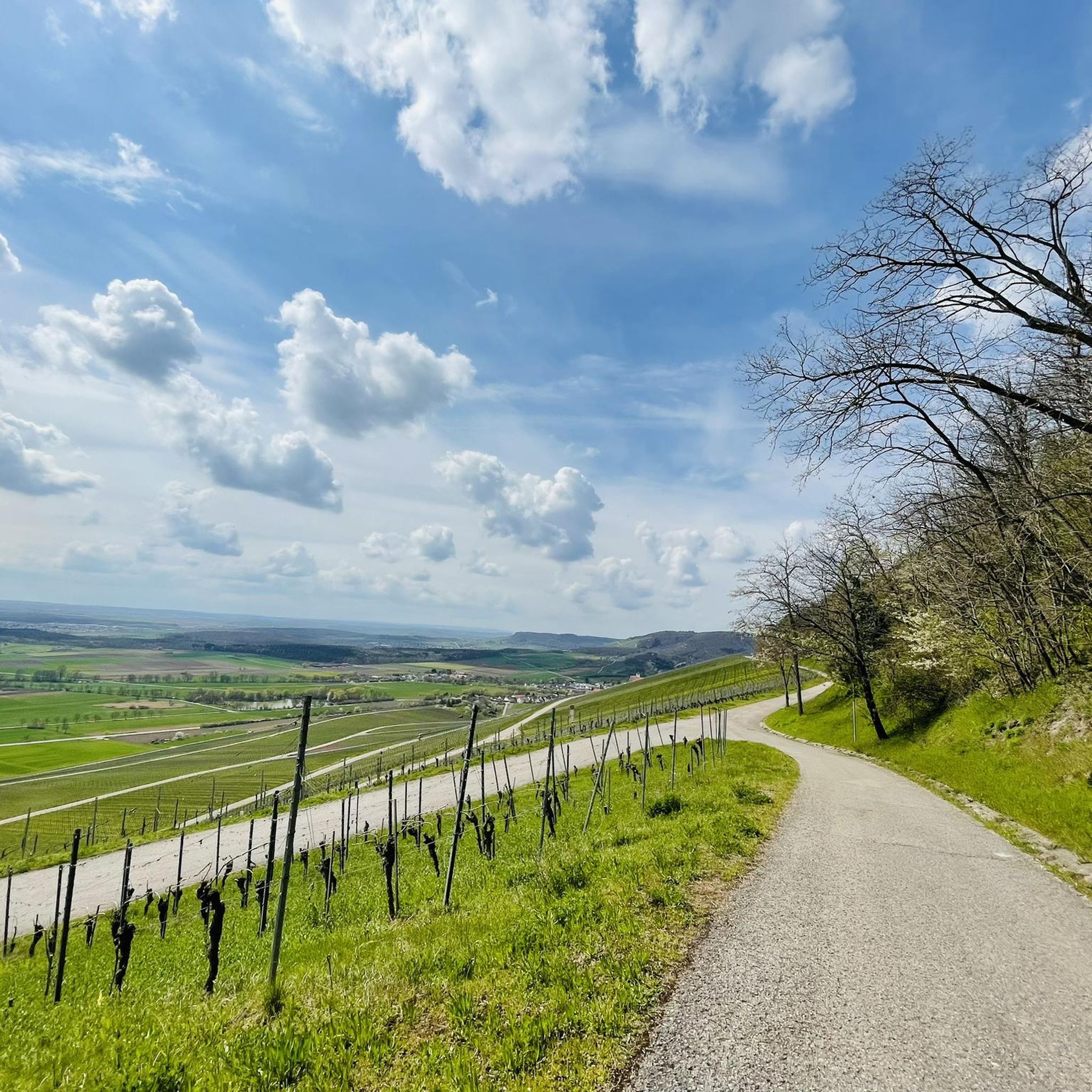
Running Trails around Freudental
Cycling around Freudental
Other adventures around Freudental

Tips from the Community

The "summit" is a must to "tick off"! There are great trails all around in a great area👍. "Seltsamonskis" just tick it off with "annoying constant liking"🤣
4
1

Just nice to rest, sit down and let the view and tranquility work on you. Pure nature
4
0

The Baiselsberg is getting higher and higher, but it is already the "biggest"
6
0

The path to the stone bench is not so easy to walk up. Once at the top you will be rewarded with a wonderful view.
4
0
Wonderful view from the heights over the Heilbronn area to Stuttgart, etc.
4
0
Wonderful viewpoint - but difficult to get up.
4
0

You can also reach the summit by mountain bike! It is where the summit cross is. Next to it is the surveying stone. Unfortunately there is no view as it is overgrown all around. But no matter, you have to go there at least once!
2
0
The ascent from Rennweg via the signposted hiking trail is a small challenge in wet weather, as it is very slippery in places. The descent to the Heiligenbergsee has some transverse channels that were created to drain water. In addition, there are currently many broken branches in the way. But a real mountain biker doesn't mind! The summit is surrounded by high forest all around and there is no view.
3
0
Frequently Asked Questions
What kind of elevated points or 'peaks' can I expect around Freudental?
The landscape around Freudental is characterized by rolling hills, extensive deciduous forests, and picturesque vineyards and orchards, rather than towering mountain peaks. The highest points are more elevated hills offering diverse hiking opportunities and panoramic views over the surrounding countryside. You'll find a tranquil setting perfect for walks and appreciating nature.
What are some of the most notable elevated points to visit near Freudental?
Among the most notable elevated points are Michaelsberg, Cleebronn, which is the highest elevation in the Zabergäu and offers impressive views, and Baiselsberg — Highest Point in the Stromberg, known for its forest trails as the highest peak of the Stromberg region.
Are there any viewpoints offering panoramic scenery around Freudental?
Yes, for expansive views, visit the View from the stone bench at the Schönenberg summit, which provides a great spot to rest and observe the landscape, including views towards Stuttgart. Another excellent spot is the View of Michaelsberg, offering beautiful vistas of orchards and vineyards with the iconic Michaelsberg in the distance.
What historical or cultural sites can be found on these elevated points?
The Michaelsberg, Cleebronn is not only a prominent elevation but also home to a historic pilgrimage church, St. Michael, dating back to the 12th century. The site has a rich history, with evidence of Celtic and Roman sanctuaries, and former Capuchin monastery buildings.
What kind of hiking trails can I find near Freudental's elevated areas?
The region offers a network of scenic hiking trails that traverse rolling hills, vineyards, and forests. You can find options for various skill levels, from easy walks through orchards to more challenging routes with elevation changes. Many trails provide panoramic views over the surrounding landscape. For specific routes, explore the Hiking around Freudental guide.
Are there family-friendly hiking options around Freudental's elevated points?
Yes, many of the trails through the rolling hills and vineyards are suitable for families. The View from the stone bench at the Schönenberg summit is noted as family-friendly, offering a pleasant spot to enjoy the scenery. For easier routes, check out the Easy hikes around Freudental guide, which includes routes like the 'Old Stone Bench – View of Hohenhaslach loop'.
What is the best time of year to explore the elevated areas around Freudental?
The region is beautiful throughout the year, but spring and autumn are particularly recommended. In spring, the orchards are in bloom, and in autumn, the vineyards display vibrant colors. The weather during these seasons is generally pleasant for hiking and enjoying the outdoor scenery.
What natural features, besides elevated points, are prominent in the Freudental area?
Beyond the elevated hills, Freudental is known for its extensive deciduous forests, especially around areas like the Baiselsberg and Schlierkopf Summit. The region is also rich in vineyards, particularly on the southern slopes, and expansive orchards, contributing to its picturesque charm and making it part of the Stromberg large wine region.
Can I find challenging hikes or climbs near Freudental?
While Freudental is not known for towering mountains, some trails offer moderate challenges, especially those with significant elevation changes through the rolling hills and forests. For instance, the ascent to Schlierkopf Summit from Rennweg can be challenging in wet weather. You can find more details on difficulty grades in the Hiking around Freudental guide.
Are there places to eat or drink near the hiking trails in Freudental?
Yes, the region offers opportunities to encounter traditional German wine taverns (Besenwirtschaften) along some routes, especially in the vineyard areas. Freudental itself has local establishments where you can find refreshments and meals after your outdoor activities.
What do visitors enjoy most about the elevated areas around Freudental?
Visitors particularly appreciate the tranquil setting, the panoramic views over the varied landscape of vineyards, orchards, and forests, and the diverse hiking opportunities. The historical significance of places like Michaelsberg also adds to the appeal, offering a blend of nature and culture.
Are there any specific routes recommended for running near these elevated points?
Yes, the varied terrain around Freudental is also suitable for running. You can find several routes in the Running Trails around Freudental guide. Options range from moderate loops like the 'Löchgau forest playground – Langes Greut Hollow Way' to more difficult, longer trails such as the 'Blankenhorn Castle Ruins – Jewish Cemetery Freudental loop'.
Most popular routes around Freudental
Most popular attractions around Freudental

Get inspired with the komoot mobile app


Explore more
See even more amazing summits around Freudental with these guides:
