The best MTB trails around Freudental
4.6
(1857)
6,019
riders
12
rides
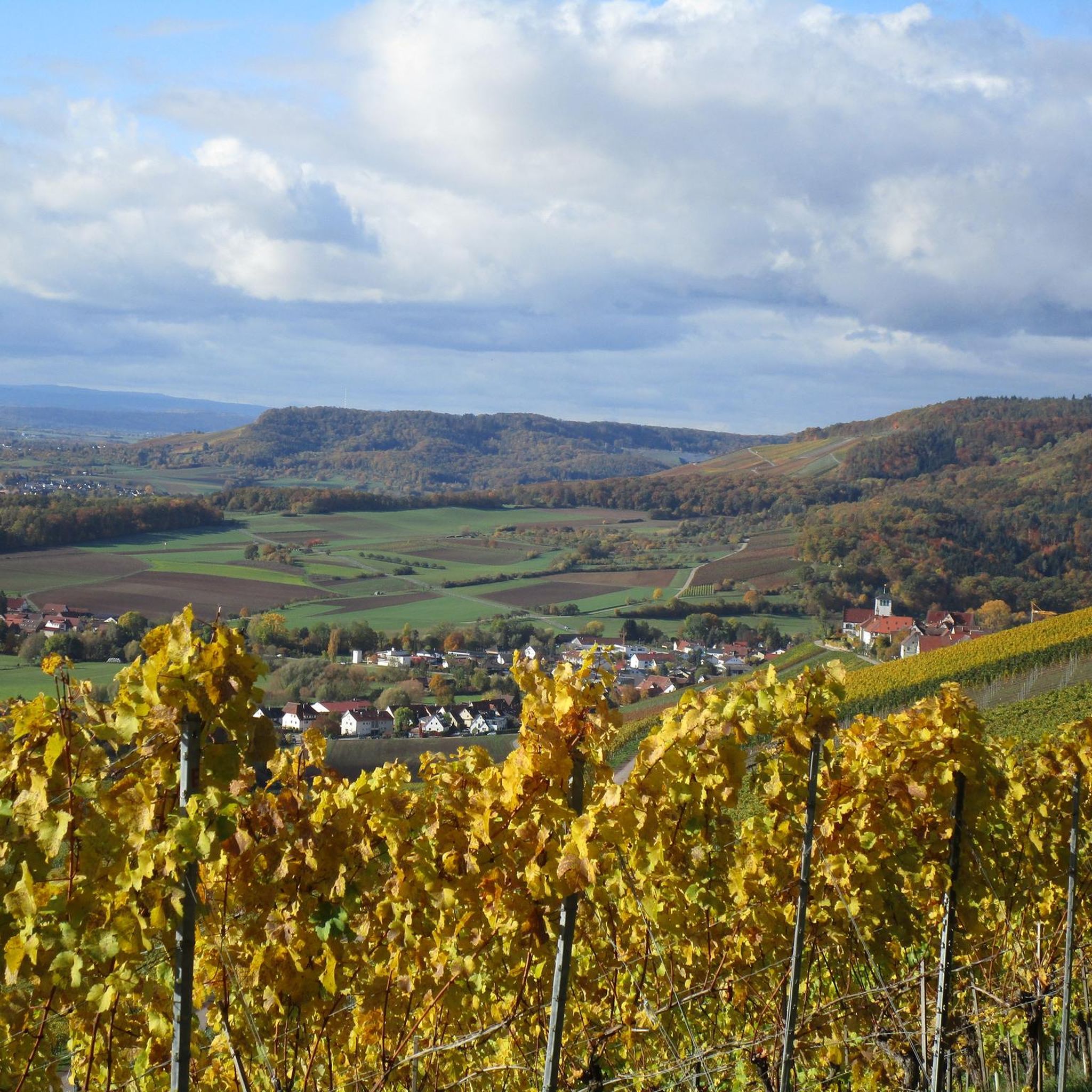
Mountain biking around Freudental offers diverse trails through a landscape characterized by the Naturpark Stromberg-Heuchelberg, featuring forests, vineyards, and rolling hills. The region provides varied terrain suitable for different skill levels, from gentle paths to more challenging singletracks. Riders can expect a mix of elevation changes and natural features throughout the area.
Best mountain bike trails around Freudental
- The most popular mountain bike trail is Schlossberg Tower, Sternenfels – Hamberg (387 m) loop from Freudental, a 26.8 miles (43.1…
Last updated: October 7, 2026
4.6
(88)
300
riders
45.0km
03:23
690m
690m
Moderate mountain bike ride. Good fitness required. Advanced riding skills necessary.
4.6
(47)
144
riders
41.8km
03:05
500m
500m
Moderate mountain bike ride. Good fitness required. Suitable for all skill levels.

4.8
(8)
31
riders
42.1km
02:20
250m
250m
Moderate mountain bike ride. Good fitness required. Suitable for all skill levels.
4.5
(6)
19
riders
Easy mountain bike ride. Great for any fitness level. Suitable for all skill levels.
4.5
(2)
13
riders
38.2km
02:25
330m
330m
Moderate mountain bike ride. Good fitness required. Suitable for all skill levels.
Get access to more routes and recommendations from other explorers.
Already have an account?
Our route recommendations are based on thousands of hikes, rides, and runs completed by other people on komoot.
Start today with a free account
Your next adventure awaits.
Popular around Freudental

Spring in the land of 1,000 hills – Kraichgau-Stromberg in Germany

Wander3Klänge: Einfach Los Wandern im Naturpark Stromberg-Heuchelberg

Zu Fuß durchs Land der 1000 Hügel
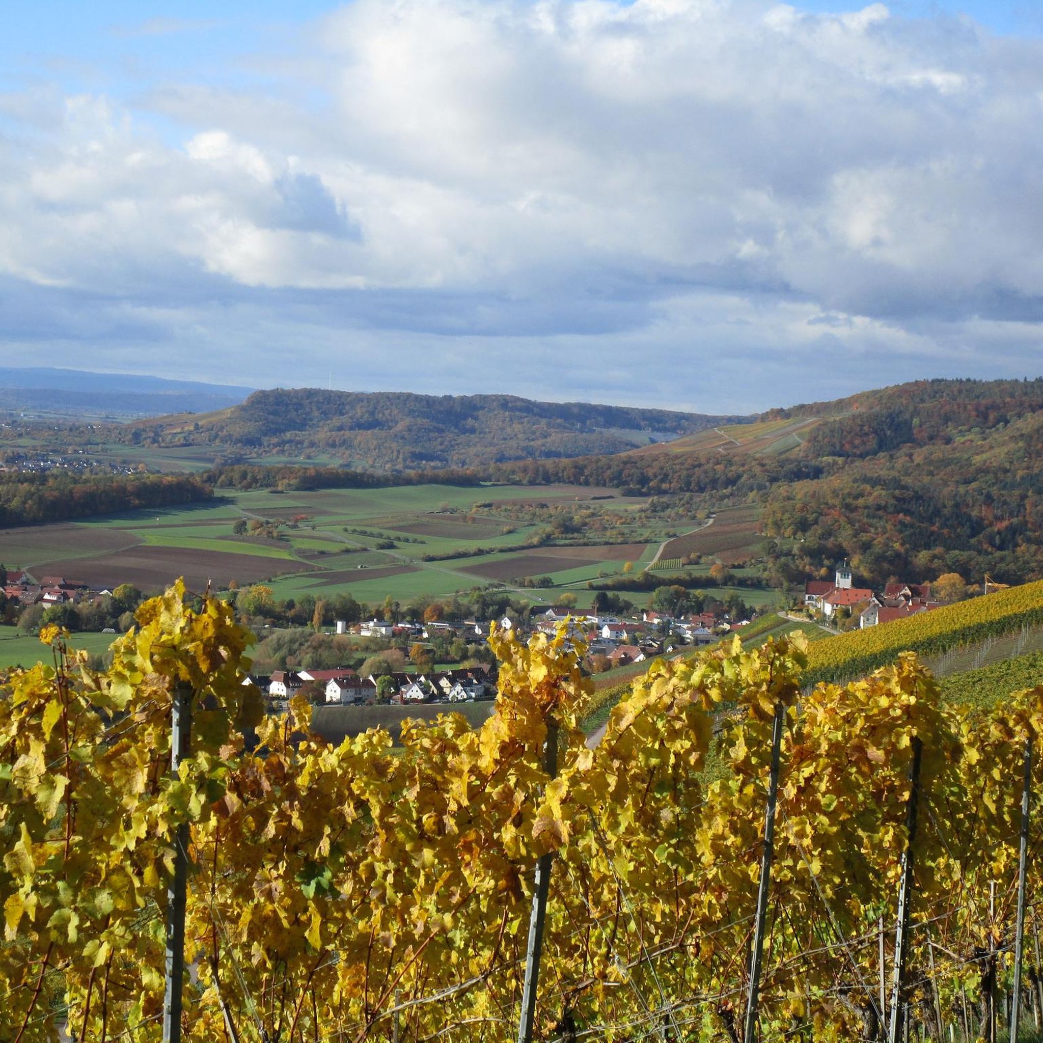
Hiking around Freudental
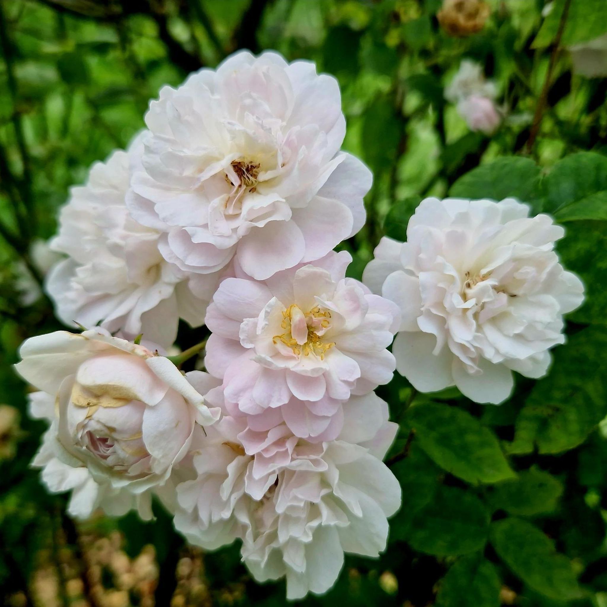
Gravel biking around Freudental
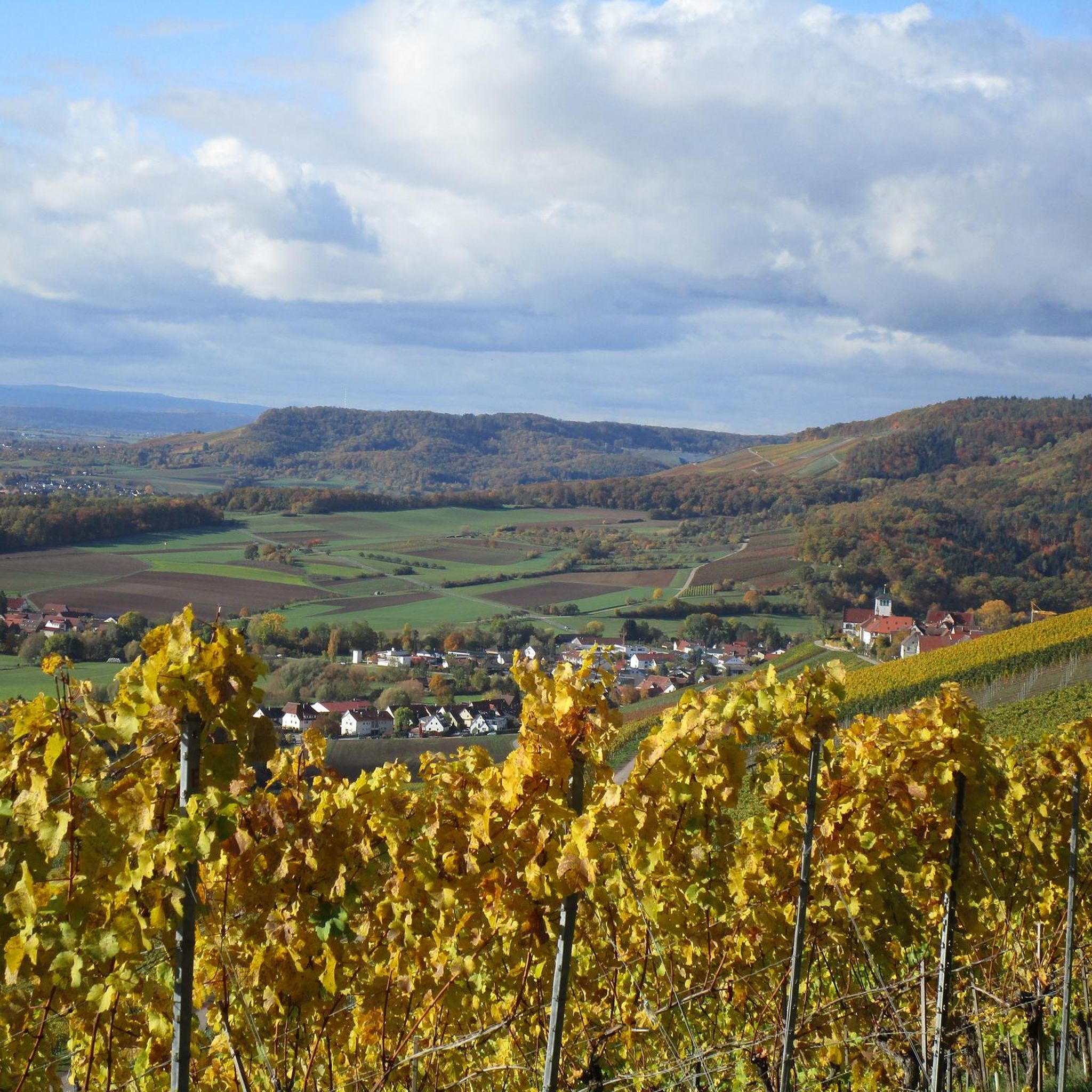
Road Cycling Routes around Freudental
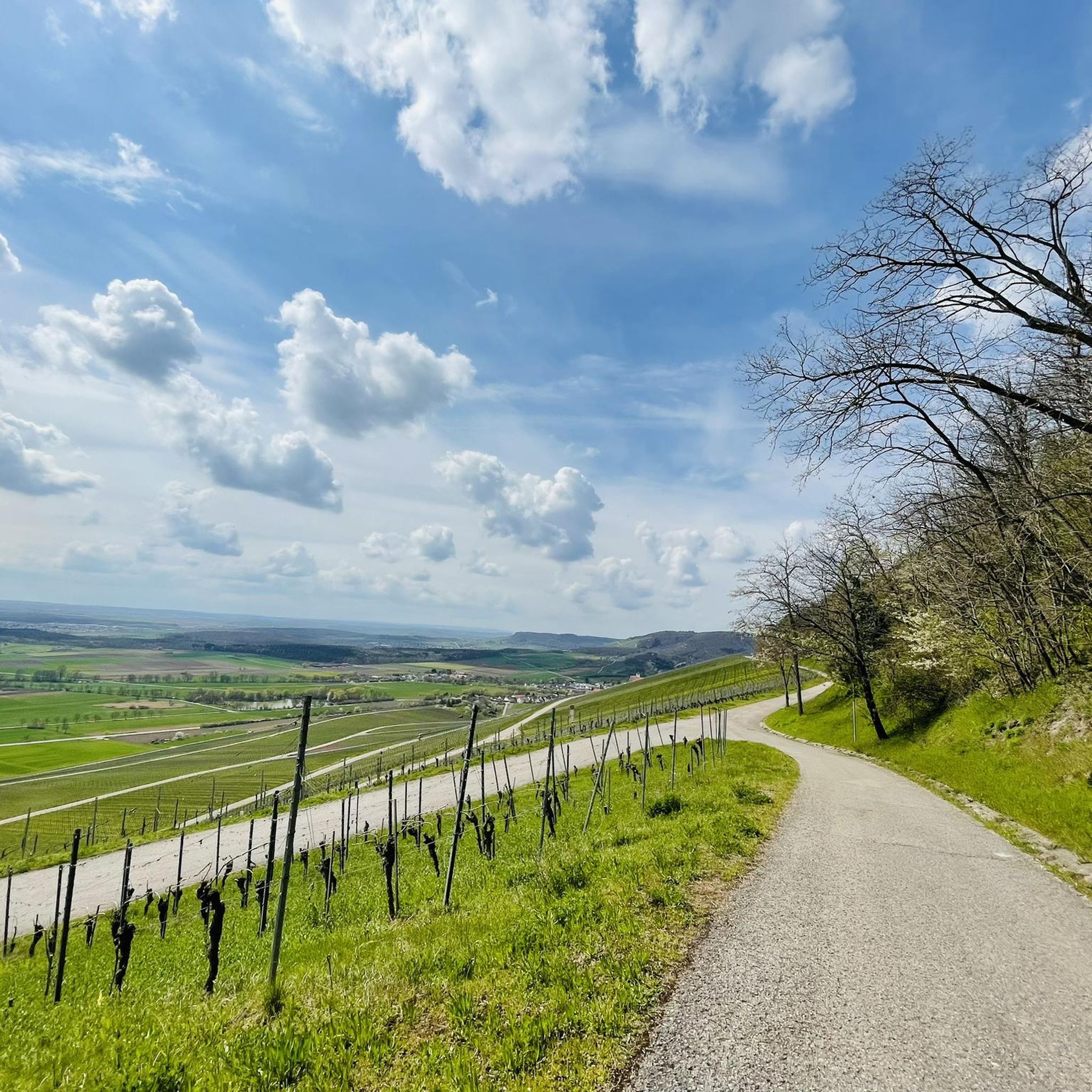
Running Trails around Freudental
Cycling around Freudental
Other adventures around Freudental

Tips from the Community

Simply beautiful scenery in the Neckar valley with the alternation of nature and settlement, viticulture and industry.
3
0

A small weir that can be easily observed from the bike/pedestrian bridge. However, a small detour away from the Enztal cycle path is necessary for this.
5
0
Very nice here in Besigheim.
3
0

From the Schlossbergturm, you have a panoramic view over large parts of Northern Baden and Northern Wuerttemberg. Depending on the weather and visibility, you can recognize, among other things: To the west: the Rhine plain and, in very clear conditions, the Vosges mountains in France. To the southwest: the Northern Black Forest. To the south: the Stromberg, whose highest elevation is the Baiselsberg. To the east: the hilly landscape of the Kraichgau and towards the Heckengäu. To the north: the Odenwald forest, but only with exceptionally good long-distance visibility. On particularly clear days, the visibility extends up to 70–100 km. Therefore, the tower is a popular viewpoint for photographers and hikers. Tip: The best long-distance visibility is often in the morning after a cold front or on dry autumn and winter days when the air is particularly clear.
1
0

View of the rock gardens near Besigheim
0
0

Beautiful hiking trails through the vineyards
0
0

The path is really good👍 Except of course in "bad weather plus forest"😅!
1
0

Frequently Asked Questions
How many mountain bike trails are available around Freudental?
Freudental offers a wide selection of mountain bike trails, with over 450 routes documented on komoot. These routes cater to various skill levels, ensuring there's something for everyone.
What is the general difficulty level of mountain bike trails in Freudental?
The mountain bike trails around Freudental are predominantly moderate, making up the majority of routes. There are also over 100 easy trails suitable for beginners, and more than 20 difficult routes for experienced riders seeking a challenge.
Are there mountain bike trails suitable for beginners in Freudental?
Yes, Freudental has over 100 easy mountain bike trails. An excellent option for beginners is the View of the Quarry Lake – Hohenhaslacher Lake loop from Hohenhaslach, which is 11.3 miles (18.2 km) long and offers scenic lake views.
Are there challenging mountain bike routes for experienced riders?
For experienced riders looking for a challenge, Freudental offers over 20 difficult routes. Consider the Flow Trail to Hohe Reute loop from Freudental, a 19.3 km route with significant elevation changes designed to test your skills.
What kind of landscapes and natural features can I expect to see while mountain biking?
Mountain biking in Freudental takes you through diverse landscapes, including the beautiful Naturpark Stromberg-Heuchelberg, characterized by forests, vineyards, and rolling hills. You'll encounter scenic views, particularly from elevated points like the Himmelsleiter (Hohenhaslach), which overlooks vineyards.
Are there any historical sites or viewpoints along the mountain bike trails?
Yes, the region is rich in historical sites and viewpoints. You can explore areas near the baroque Freudental Castle. Additionally, highlights like the View of the Neckar from the Hessigheimer Felsengärten offer stunning vistas.
What do other mountain bikers enjoy most about the trails in Freudental?
The mountain bike trails in Freudental are highly rated by the komoot community, with an average score of 4.6 stars from over 1700 reviews. Riders often praise the varied terrain, the engaging singletrack sections, and the beautiful natural scenery, especially within the Naturpark Stromberg-Heuchelberg.
Are there any longer mountain bike routes for extended rides?
For longer rides, the Schlossberg Tower, Sternenfels – Hamberg (387 m) loop from Freudental is a great option. This moderate route spans 26.8 miles (43.1 km) and typically takes over 3 hours to complete, offering a comprehensive tour of the varied landscapes.
Are there circular mountain bike routes available?
Many of the mountain bike routes in Freudental are designed as loops, allowing you to start and end in the same location. An example is the Blankenhorn Singletrack – View from Weißer Steinbruch loop from Freudental, a moderate 26.2 km route.
Can I bring my dog on the mountain bike trails in Freudental?
Generally, dogs are welcome on trails in natural park areas like the Naturpark Stromberg-Heuchelberg, provided they are kept on a leash. It's always advisable to check local regulations for specific trails or protected areas before heading out with your dog.
Are there any lakes or water features along the mountain bike routes?
Yes, some routes pass by water features. The View of the Quarry Lake – Hohenhaslacher Lake loop from Hohenhaslach offers scenic views of lakes. Additionally, the Katzenbachsee is a notable lake highlight in the vicinity.
Most popular routes around Freudental
Most popular attractions around Freudental

Get inspired with the komoot mobile app


Explore more
Browse the best MTB trails in other regions.
