The best walks and hikes around Kradolf-Schönenberg
4.7
(141)
536
hikers
20
hikes
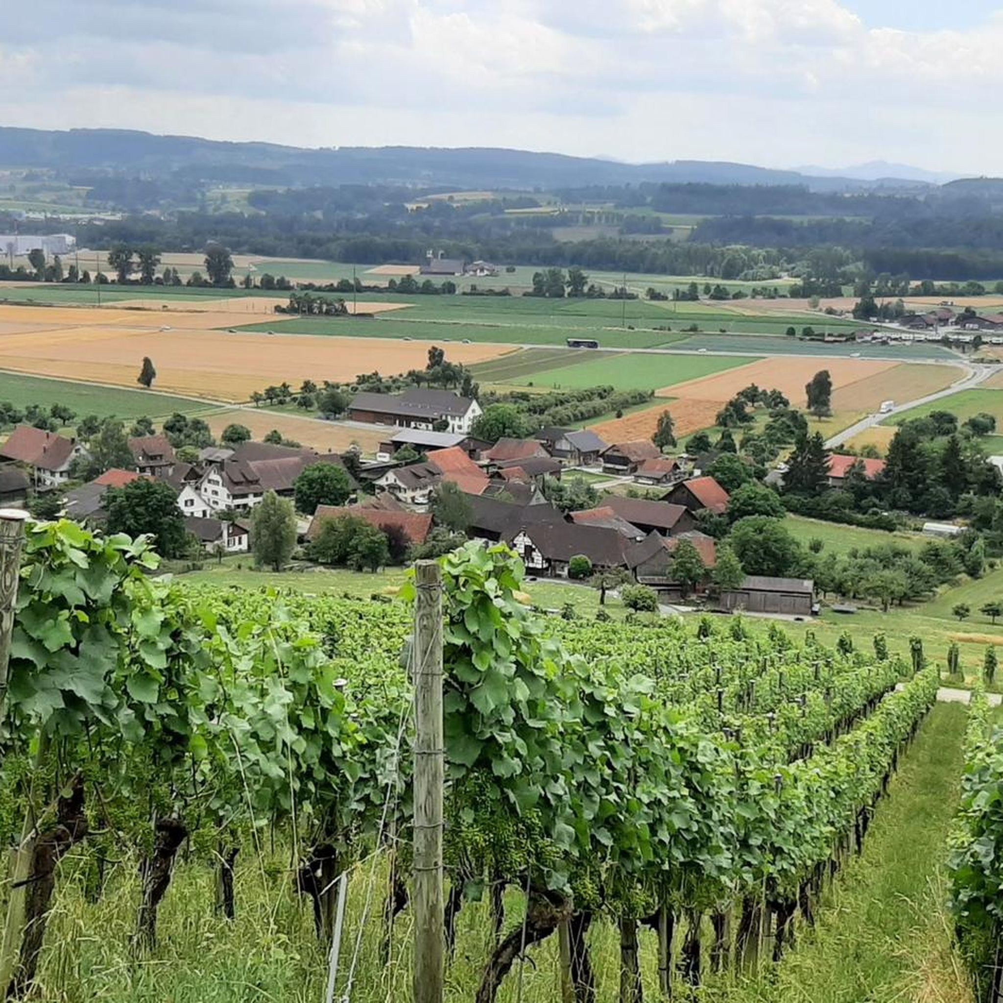
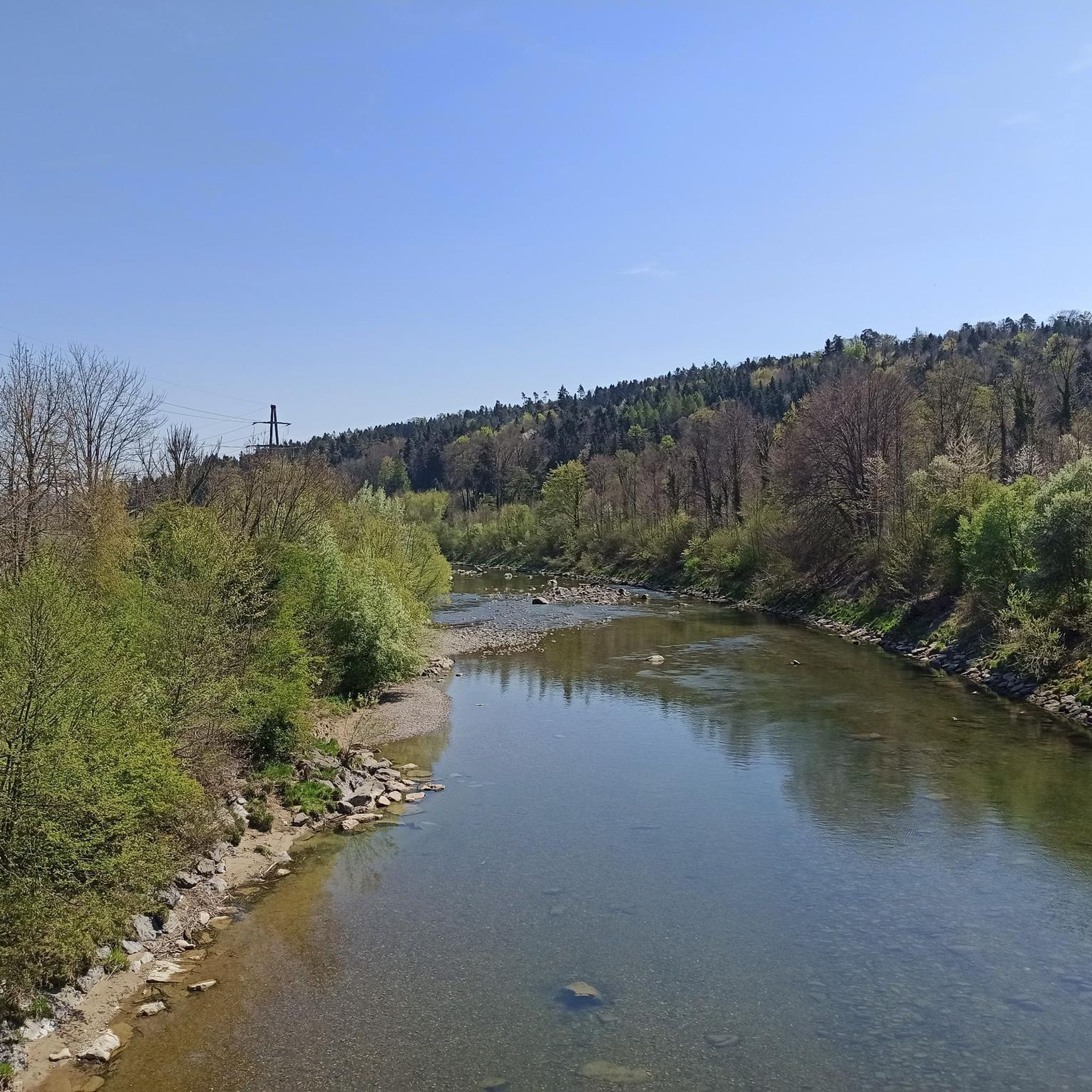
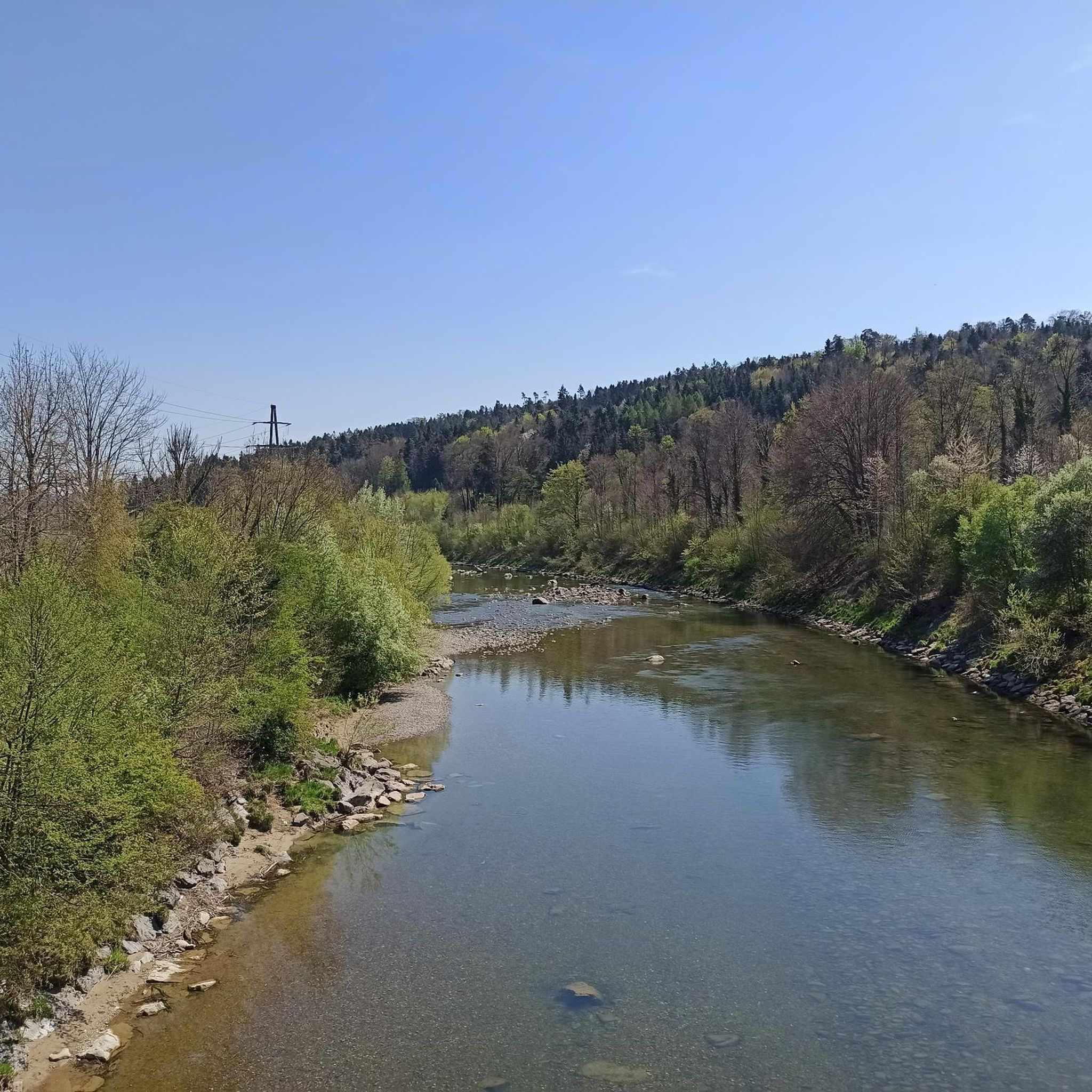
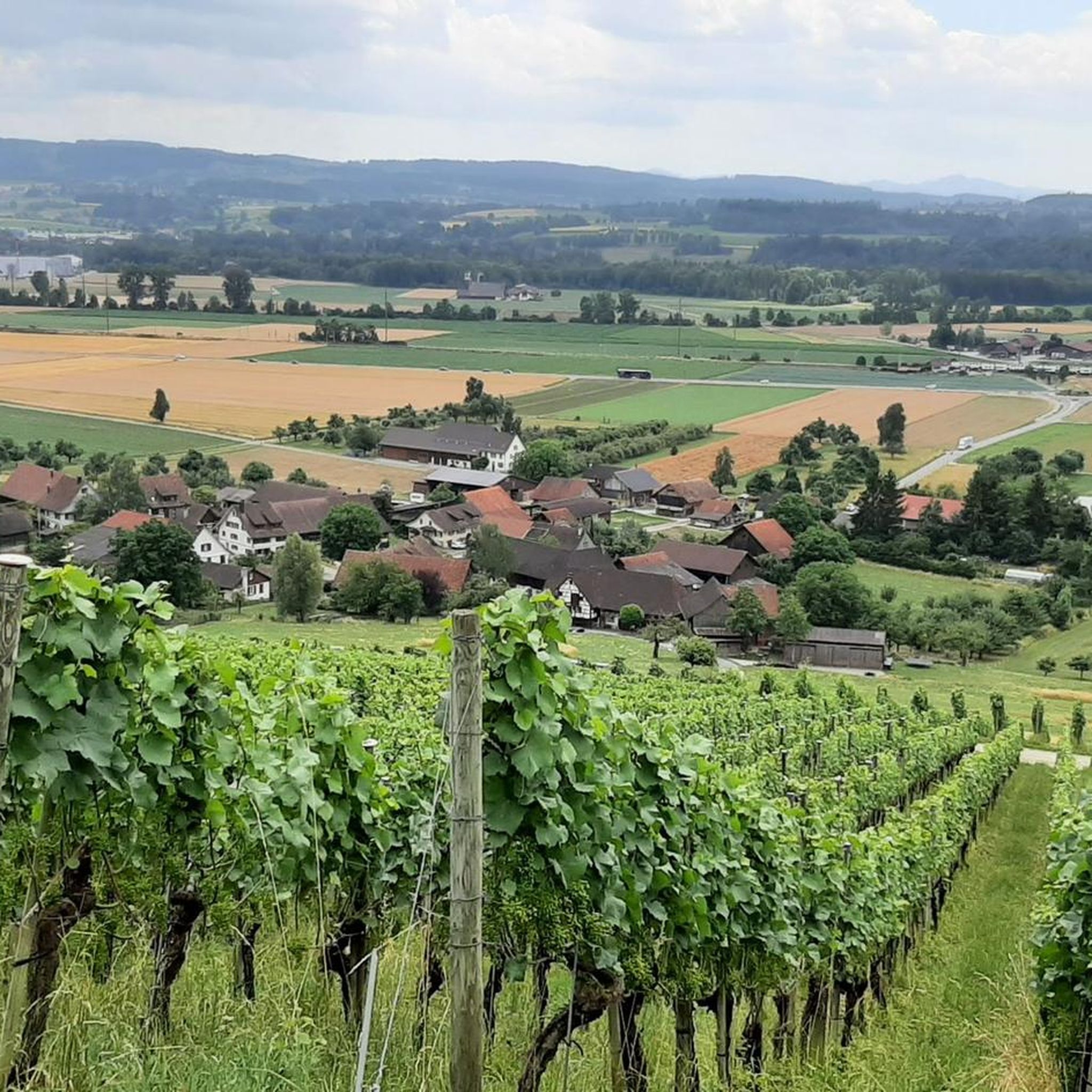
Hiking around Kradolf-Schönenberg offers diverse trails through varied landscapes. The region is characterized by its riverine environments, including the Thurfeld Weir and floodplains of the Thur and Sitter rivers, alongside forested areas and hills. Hikers can explore remnants of medieval ruins nestled within these natural settings. The terrain provides a range of options, from easy strolls to more challenging routes with notable elevation gains.
Best hiking trails around Kradolf-Schönenberg
- The most popular hiking route is Forest Path Near Kradolf –…
Last updated: July 25, 2026
4.5
(48)
175
hikers
12.1km
03:32
290m
300m
Moderate hike. Good fitness required. Easily-accessible paths. Suitable for all skill levels.
4.3
(9)
31
hikers
Moderate hike. Good fitness required. Easily-accessible paths. Suitable for all skill levels.

Sign up for free
4.6
(9)
23
hikers
Moderate hike. Good fitness required. Easily-accessible paths. Suitable for all skill levels.
4.7
(39)
138
hikers
10.7km
03:00
200m
200m
Moderate hike. Good fitness required. Easily-accessible paths. Suitable for all skill levels.
4.3
(3)
12
hikers
6.54km
01:55
160m
170m
Easy hike. Great for any fitness level. Easily-accessible paths. Suitable for all skill levels.
Get access to more routes and recommendations from other explorers.
Sign up for free
Already have an account?
Our route recommendations are based on thousands of hikes, rides, and runs completed by other people on komoot.
Start today with a free account
Your next adventure awaits.
Login or Signup
Tips from the Community


No cycling, but there are usually no pedestrians anyway. Short steep climbs on both sides.
1
0
Is actually only worth it if you are there anyway. The best thing is the view from the opposite slope.
0
1

The eight-span bridge over the Thur River is the largest surviving late medieval bridge in Switzerland. According to legend, a woman from Hohenzorn donated the stone bridge for her two sons who drowned in the flood. Instead of paying the usual toll, the Lord's Prayer was to be recited for all the mothers of the world.
4
0

Danger of rockfall (signposted) access to the rock face is not advisable.
1
0

A very varied and interesting hike with good signage and paths
0
1

Beautiful and well-developed path. A bit greasy and slippery in rainy weather.
0
0
Frequently Asked Questions
How many hiking trails are available in Kradolf-Schönenberg?
Kradolf-Schönenberg offers a diverse network of over 20 hiking trails. These routes cater to various preferences, ranging from easy strolls to more challenging moderate hikes, ensuring there's something for every fitness level.
What kind of terrain can I expect on hikes in Kradolf-Schönenberg?
The terrain in Kradolf-Schönenberg is quite varied. You'll find paths winding through forested areas, along riverine environments like the Thurfeld Weir and floodplains of the Thur and Sitter rivers, and over gentle hills. Some routes offer significant elevation gain, while others are relatively flat.
Are there any easy hiking trails suitable for beginners or families?
Yes, Kradolf-Schönenberg has several easy trails. For instance, the Last Ruin – Roote-Bach Bridge loop from Kradolf is an easy 6.7 km path suitable for various fitness levels, including families. It also includes historical ruins, adding an interesting element to your walk.
Can I find circular hiking routes in the area?
Many of the trails in Kradolf-Schönenberg are designed as circular routes, allowing you to start and end at the same point. An example is the Forest Path Near Kradolf – Thurfeld Weir and Floodplains loop from Kradolf-Schönenberg, a moderate 8 km loop that explores forest paths and the Thurfeld Weir.
What natural features can I see while hiking in Kradolf-Schönenberg?
Hikers can enjoy the serene beauty of the Thurfeld Weir and its floodplains, as well as the confluence of the Sitter and Thur rivers. The region's natural landscape is characterized by these riparian environments, alongside lush forests and rolling hills, providing scenic views throughout your journey.
Are there any historical sites or landmarks to explore on the trails?
Absolutely. Kradolf-Schönenberg is known for its medieval history. The region features a 'Ruins Trail' that leads to the remnants of three medieval ruins nestled in the hills and forests. You can explore sites like the Last Ruin, Hagenwil Moated Castle, and Hauptwil Castle and Clock Tower, adding a cultural dimension to your hike.
What do other hikers say about the trails in Kradolf-Schönenberg?
The hiking routes in Kradolf-Schönenberg are highly regarded by the komoot community, with an average score of 4.7 stars from over 120 reviews. Hikers often praise the diverse trails, the peaceful river floodplains, and the integration of historical ruins into the natural landscapes.
Are there longer, more challenging routes for experienced hikers?
Yes, for those seeking more extensive adventures, some trails can extend over five hours with significant elevation gain, demanding very good fitness. An example of a longer moderate route is the Confluence of the Sitter and Thur – Thurfeld Weir and Floodplains loop from Kradolf, which is 14 km long and takes nearly 4 hours to complete.
Is there parking available near the trailheads in Kradolf-Schönenberg?
While specific parking details vary by trailhead, Kradolf-Schönenberg is generally accessible, and many popular starting points for hikes offer convenient parking options. It's advisable to check the individual tour details on komoot for precise parking information for your chosen route.
What is the best time of year to go hiking in Kradolf-Schönenberg?
Kradolf-Schönenberg offers enjoyable hiking experiences throughout much of the year. Spring and autumn provide pleasant temperatures and beautiful scenery, with vibrant foliage or blooming flora. Summer is also popular, though some trails might be warmer. Winter hiking is possible, but conditions can vary, so checking local weather is always recommended.
Are there any trails that pass by a stream or river?
Many trails in Kradolf-Schönenberg feature water elements. The region is characterized by its riverine environments, including the Thurfeld Weir and floodplains of the Thur and Sitter rivers. The Stream bridge – Roote-Bach Bridge loop from Kradolf is a moderate 12.1 km route that specifically highlights these features.
Are there any trails that offer views of the surrounding landscape?
Yes, many trails in Kradolf-Schönenberg provide scenic viewpoints. As you traverse the hills and forests, you'll encounter vistas overlooking the diverse landscapes, including the river valleys and the charming local villages. The varied terrain ensures a dynamic visual experience.
Most popular routes around Kradolf-Schönenberg
Most popular attractions around Kradolf-Schönenberg

Get inspired with the komoot mobile app


Explore more
Browse the best Hikes in other regions.
