The best gravel rides in Garrett County
4.5
(2)
11
riders
3
rides
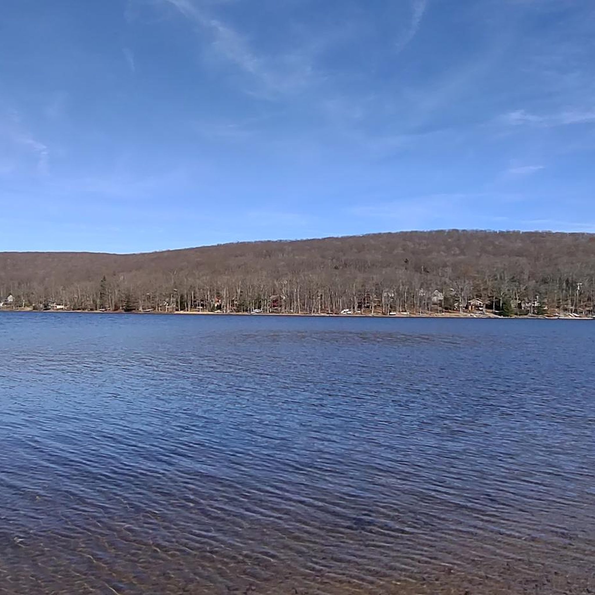
Gravel biking in Garrett County, Maryland, offers diverse terrain within the Appalachian Mountain range. The region features a mountainous and rural landscape with significant elevation changes, including the state's highest point. Extensive state parks and forests provide a network of trails and quiet roads suitable for gravel cycling. This area is characterized by its natural beauty, with features like large freshwater lakes and free-falling waterfalls.
Best gravel bike trails in Garrett County
- The most popular gravel bike trail is Mason-Dixon…
Last updated: November 8, 2026
6
riders
Hard gravel ride. Very good fitness required. Mostly paved surfaces.
4.0
(1)
2
riders
42.1km
03:18
650m
650m
Hard gravel ride. Very good fitness required. Mostly paved surfaces.

5.0
(1)
2
riders
52.3km
03:42
800m
800m
Hard gravel ride. Very good fitness required. Mostly paved surfaces.
1
riders
Hard gravel ride. Very good fitness required. Mostly paved surfaces.
Our route recommendations are based on thousands of hikes, rides, and runs completed by other people on komoot.
Start today with a free account
Your next adventure awaits.


Tips from the Community

The Mason-Dixon Line Monument marks the historic boundary between the states of Maryland and Pennsylvania. Today, it is a scenic rest stop for hikers, featuring a granite obelisk, engraved blocks spelling "Mason & Dixon," and a replica of the surveyors' 66-foot chain. It is a great photo opportunity and Easily a must-see for history buffs.
1
0

The Trail Inn Lodging & Campground is a great place to stop as you are traveling along the GAP. There is food, camping, a hostel and private rooms.
0
0

Congratulations! You've reached the highest point in the Great Allegheny Passage, which runs from Pittsburgh, Pennsylvania to Cumberland, Maryland. The Eastern Continental Divide marks a stark divide between two watersheds: To your east, the waterways drain (eventually) into the Atlantic Ocean. The waters to your west funnel toward the Gulf of Mexico.
0
0
The Meyersdale Visitors Center is a great place to take a break as you hike the GAP. Set in the renovated Western Maryland Railroad Station, there is a museum, information about the town, and parking.
0
0
The Maple Festival Park Primitive Campground is a great overnight stop along the GAP. The campsite is for tents and hammocks only, and has bathrooms, showers, fire pits, and firewood. It is a few blocks below Main Street in Meyersdale, so you are close to several restaurants and cafés.
0
0
The Big Savage Tunnel is one of the highlights of the GAP. The 3,291-foot tunnel was refurbished for bike use in 2003 and has a modern lighting system. On the eastern end of the tunnel there is a great viewpoint and picnic tables.
2
0
Frequently Asked Questions
How many gravel bike trails are available in Garrett County?
Komoot features a selection of 4 challenging gravel biking routes in Garrett County. The region itself offers a vast network of quiet, scenic roads and dedicated trail systems, with many more possibilities to explore beyond these featured tours.
What is the best time of year for gravel biking in Garrett County?
Garrett County is a four-season destination. Spring and fall offer pleasant temperatures and beautiful scenery, with vibrant foliage in autumn. Summer is also popular, especially around Deep Creek Lake, though some trails might be busier. Winter riding is possible, but conditions can be challenging with snow and ice, requiring appropriate gear and caution.
What are the typical terrain and elevation gains on gravel trails in Garrett County?
The gravel trails in Garrett County are nestled within the Appalachian Mountains, meaning you can expect mountainous and rural terrain. Routes often feature significant elevation gains, typically ranging from 500 to over 800 meters (1,600 to 2,600 feet) over distances of 35 to 65 kilometers (20 to 40 miles). Some routes may even include technical sections where pushing your bike might be necessary.
Are there any easy or beginner-friendly gravel routes in Garrett County?
The routes currently featured on komoot for Garrett County are generally considered difficult, with substantial elevation gains and distances. However, the region's extensive network of state parks and forests, like Herrington Manor State Park and Garrett State Forest, offer diverse trails. While specific easy gravel routes aren't highlighted here, many quiet, scenic roads in areas like Pleasant Valley Road, Blue Ribbon Road, and Monte Vista Road could provide less strenuous options for beginners.
What options are there for advanced gravel cyclists looking for a challenge?
Advanced gravel cyclists will find plenty of challenging options in Garrett County. Routes like the Mason-Dixon Line Monument – Big Savage Tunnel loop from State Game Lands Number 231 cover over 60 kilometers with more than 700 meters of climbing. Another demanding option is the Ohiopyle – Ohiopyle State Park loop from Confluence, which features over 800 meters of elevation gain. These routes offer significant distances and ascents, testing both endurance and skill.
Are there any scenic viewpoints or natural features along the gravel trails?
Yes, Garrett County is known for its stunning natural beauty. Many gravel routes offer panoramic views of the Appalachian Mountains. Highlights in the area include Hoye Crest, Maryland's highest point, and the expansive Deep Creek Lake State Park. The region's state parks and forests are rich with natural features, including old-growth hemlocks and diverse wildlife.
Can I find routes that pass by waterfalls?
Yes, Garrett County is home to Swallow Falls State Park, which features Muddy Creek Falls, Maryland's tallest free-falling waterfall. While specific gravel routes directly passing the falls are not listed in this guide, the park itself is a significant natural attraction in the area, and a ten-mile trail connects Swallow Falls and Herrington Manor State Parks, offering extensive gravel riding possibilities nearby.
Are the gravel biking routes typically circular?
Yes, all the gravel biking routes featured in this guide for Garrett County are designed as loops. This allows you to start and finish at the same point, making logistics simpler for parking and transportation. Examples include the Black Fork loop from Thomas and various Mason-Dixon Line Monument – Big Savage Tunnel loops.
Are there gravel routes near Deep Creek Lake?
Deep Creek Lake is a central hub for outdoor activities in Garrett County. Deep Creek Lake State Park and the Fork Run area feature trail systems that are suitable for mountain biking and potentially gravel biking. While specific gravel routes directly around the lake are not detailed in this guide, the park offers diverse terrain and is a great starting point for exploring the surrounding gravel roads.
What do other gravel bikers enjoy the most about gravel biking in Garrett County?
The komoot community rates the gravel biking experience in Garrett County highly, with an average score of 4.5 stars. Reviewers often praise the region's stunning natural scenery, the challenging yet rewarding mountainous terrain, and the extensive network of quiet, car-free roads that make for an immersive outdoor adventure.
Where can I find parking for gravel biking in Garrett County?
Parking availability varies by trailhead. For routes like the Mason-Dixon Line Monument – Big Savage Tunnel loop from State Game Lands Number 231, you can typically find parking at designated areas within state game lands or nearby public access points. For routes starting from towns like Thomas or Frostburg, public parking lots or street parking might be available. Always check local signage for specific parking regulations.
Most popular routes in Garrett County
Most popular attractions in Garrett County

Get inspired with the komoot mobile app


Explore more
Browse the best Gravel rides in other regions.
