The best cycling routes in Garrett County
5.0
(8)
160
riders
20
rides
Touring cycling in Garrett County offers routes through the mountainous terrain of Western Maryland, characterized by dense forests, rolling hills, and the expansive Deep Creek Lake. The region's topography includes varied elevations, providing both challenging climbs and more gradual paths. Many routes follow former railway lines, offering relatively flat sections through scenic valleys. The landscape is shaped by the Appalachian foothills, featuring a mix of natural waterways and wooded areas.
Best touring cycling routes in Garrett County
- The most popular…
Last updated: August 12, 2026
13
riders
24.9km
01:57
350m
350m
Moderate bike ride. Good fitness required. Mostly paved surfaces. Suitable for all skill levels.
13
riders
12.1km
01:11
200m
200m
Moderate bike ride. Good fitness required. Mostly paved surfaces. Suitable for all skill levels.

Sign up for free
9
riders
23.4km
02:13
340m
340m
Moderate bike ride. Good fitness required. Mostly paved surfaces. Suitable for all skill levels.
5.0
(2)
5
riders
80.7km
05:42
1,570m
1,570m
The Chocolate Drop Hill loop from McHenry offers a truly demanding touring cycling experience, immersing you in the diverse natural beauty of McHenry County. As you pedal, you'll traverse landscapes…
1
riders
35.8km
02:18
430m
430m
Moderate bike ride. Good fitness required. Mostly paved surfaces. Suitable for all skill levels.
3
riders
38.0km
02:27
490m
490m
If you're seeking a challenging ride that truly tests your legs, the "Bike loop from Oakland" delivers a difficult 23.6 miles (38.0 km) of touring cycling. This route plunges you…
Get access to more routes and recommendations from other explorers.
Sign up for free
Already have an account?
Our route recommendations are based on thousands of hikes, rides, and runs completed by other people on komoot.
Start today with a free account
Your next adventure awaits.
Login or Signup
Popular around Garrett County

Cycling in Savage River State Forest

Cycling around Finzel
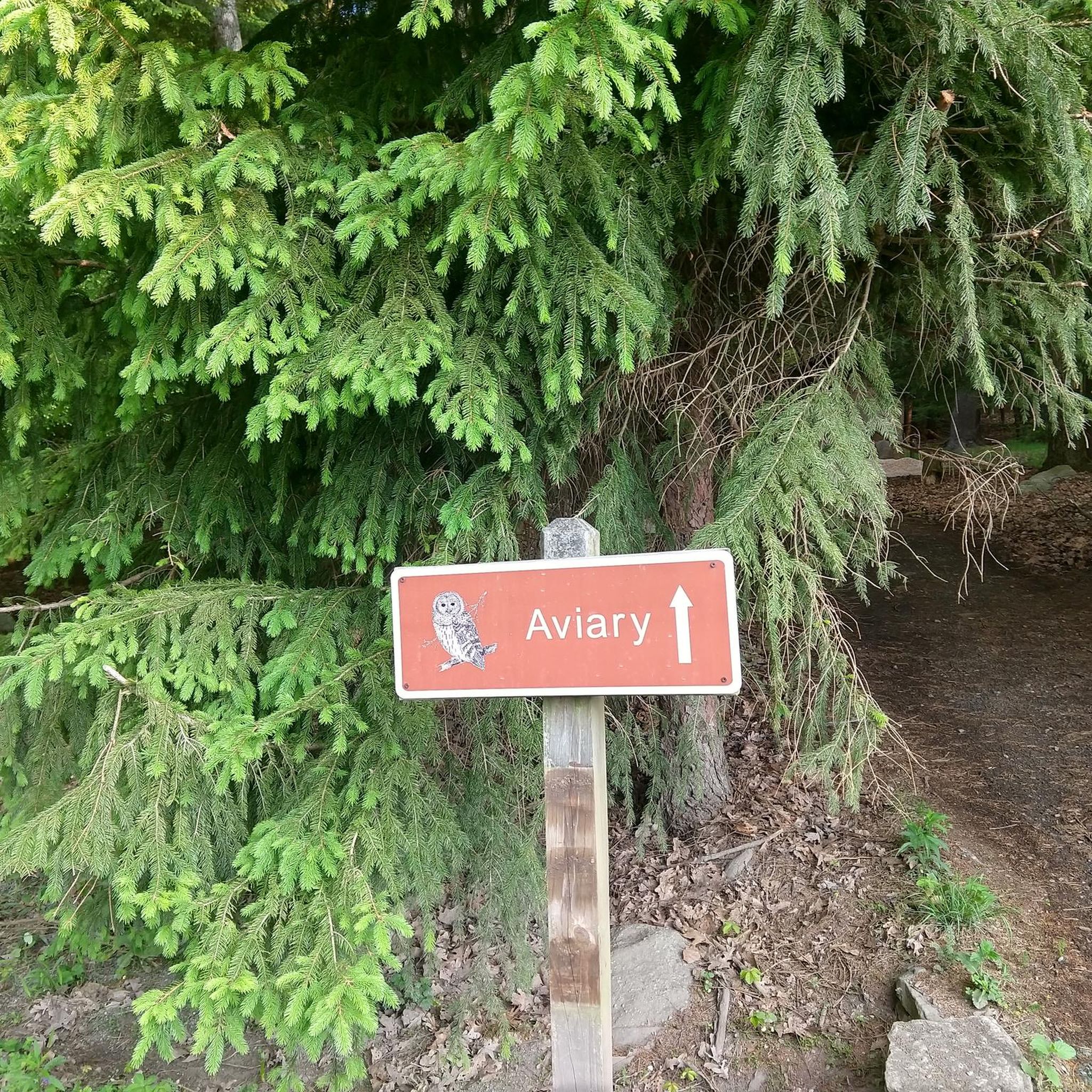
Cycling in Deep Creek Lake State Park

Cycling in Fork Run Recreation Area

Cycling in Potomac/Garrett State Forest

Cycling in Potomac State Forest Backbone Area

Cycling in Garrett State Forest Piney Mountain, Snaggy Mountain, Hutton Areas

Cycling around Swanton
Hiking in Garrett County
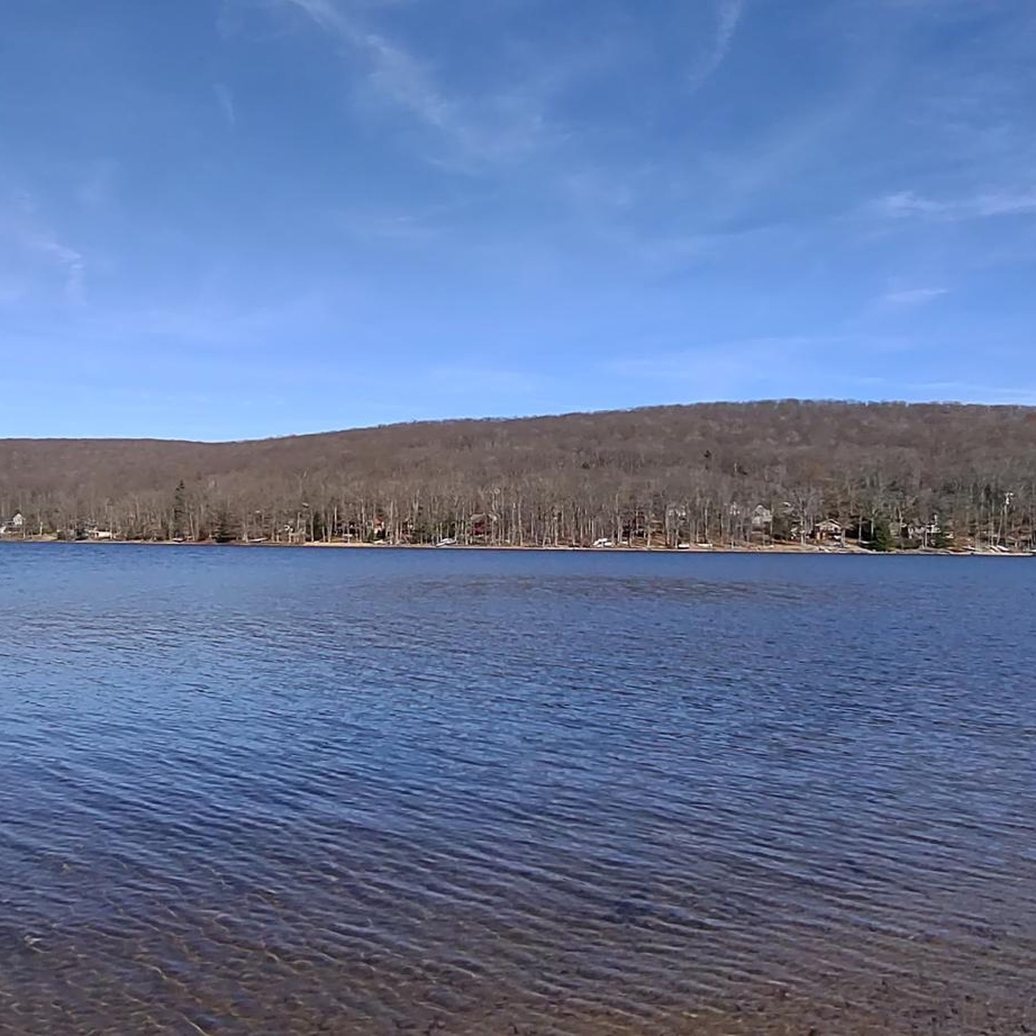
Road Cycling Routes in Garrett County
Tips from the Community

The Mason-Dixon Line Monument marks the historic boundary between the states of Maryland and Pennsylvania. Today, it is a scenic rest stop for hikers, featuring a granite obelisk, engraved blocks spelling "Mason & Dixon," and a replica of the surveyors' 66-foot chain. It is a great photo opportunity and Easily a must-see for history buffs.
1
0

Congratulations! You've reached the highest point in the Great Allegheny Passage, which runs from Pittsburgh, Pennsylvania to Cumberland, Maryland. The Eastern Continental Divide marks a stark divide between two watersheds: To your east, the waterways drain (eventually) into the Atlantic Ocean. The waters to your west funnel toward the Gulf of Mexico.
0
0

The Big Savage Tunnel is one of the highlights of the GAP. The 3,291-foot tunnel was refurbished for bike use in 2003 and has a modern lighting system. On the eastern end of the tunnel there is a great viewpoint and picnic tables.
2
0
The Borden Tunnel is one of the signature tunnels along the GAP. It is almost 1000-feet long and is equipped with motion-detected lighting. It is considered one of the most tranquil places on the trail.
0
0
Congratulations! You've reached the highest point in the Great Allegheny Passage, which runs from Pittsburgh, Pennsylvania to Cumberland, Maryland. The Eastern Continental Divide marks a stark divide between two watersheds: To your east, the waterways drain (eventually) into the Atlantic Ocean. The waters to your west funnel toward the Gulf of Mexico.
1
0
The aviary at Deep Creek Lake State Park shelters nine birds of prey. This aviary is part of the Scales & Tales program, whose goal is environmental education. The birds arrive here injured or hand-raised and cannot survive in the wild. The birds are well taken care of by workers and volunteers.
0
0
Deep Creek Lake Sand Beach is the perfect spot for relaxation and recreation. Visitors enjoy canoeing and kayaking in well-maintained facilities, including clean bathrooms, playground areas, and numerous picnic tables with metal grills. Rental options for kayaks and paddle boards are available, and the sandy beach area has a few shade trees. The water is great for swimming and sunbathing. There are restrooms on site with showers.
0
0
Originally a railway tunnel, the Big Savage Tunnel was refurbished to serve cyclists and hikers in 2003. It offers great protection from the weather and has arched, portal doors that might just make you feel like you're about to enter the Mines of Moria.
0
0
Frequently Asked Questions
How many touring cycling routes are available in Garrett County?
Garrett County offers a diverse selection of over 20 touring cycling routes. These routes cater to various skill levels, with a mix of moderate and difficult options through the region's mountainous terrain.
Are there any easy or family-friendly touring cycling routes in Garrett County?
While Garrett County's touring cycling routes are generally rated as moderate to difficult due to the mountainous terrain and elevation changes, some sections of former railway lines offer more gradual paths. For a moderate option that provides scenic views and access to recreational areas, consider the Deep Creek Lake Sand Beach loop from Deep Creek Lake State Park, which is 10 miles long.
What kind of terrain can I expect on touring cycling routes in Garrett County?
You can expect varied terrain, from dense forests and rolling hills to paths along the expansive Deep Creek Lake. Many routes utilize former railway lines, offering relatively flat sections through scenic valleys, while others feature challenging climbs characteristic of the Appalachian foothills.
What are some notable landmarks or attractions I can see along the touring cycling routes?
Garrett County's routes often pass by significant natural and historical points. You can explore areas like Deep Creek Lake State Park, which includes the Deep Creek Lake State Park Aviary. Some routes also pass historical markers, such as those found on the Meyersdale Visitors Center – Mason-Dixon Line Monument loop from WMSR- Frostburg.
Are there any loop touring cycling routes in Garrett County?
Yes, many routes in Garrett County are designed as loops, allowing you to start and end at the same point. Examples include the Deep Creek Lake Sand Beach loop from Deep Creek Lake State Park, the Frostburg Trailhead – Helmstetter’s Curve loop from WMSR- Frostburg, and the Fike Hill loop from Mountain Dale.
What is the best time of year to go touring cycling in Garrett County?
The best time for touring cycling in Garrett County is typically from late spring through early fall (May to October). During these months, the weather is generally mild, and the natural scenery, from lush forests to vibrant fall foliage, is at its peak. Always check local weather conditions before heading out, especially in the mountainous areas.
What do other touring cyclists enjoy most about Garrett County?
The touring cycling routes in Garrett County are highly rated by the komoot community, with an average score of 5.0 stars from over 5 reviews. Cyclists often praise the diverse terrain, from forested mountains to lakefront paths, and the unique experience of riding along historic railway trails.
Are there any longer or more challenging touring cycling routes for experienced riders?
Experienced touring cyclists will find several challenging routes in Garrett County. For instance, the Chocolate Drop Hill loop from McHenry is a difficult 50-mile route with significant elevation changes. Another demanding option is the Frostburg Trailhead – Helmstetter’s Curve loop from WMSR- Frostburg, which spans over 50 miles through forested areas.
Where can I find parking for touring cycling routes in Garrett County?
Many touring cycling routes in Garrett County originate from state parks, trailheads, or visitor centers, which typically offer designated parking facilities. For example, routes around Deep Creek Lake often start near Deep Creek Lake State Park, and railway trail routes may have parking at their respective trailheads like the Frostburg Trailhead.
Are there any routes that offer views of Deep Creek Lake?
Yes, several touring cycling routes provide stunning views of Deep Creek Lake. The Deep Creek Lake loop from Deep Creek Lake is a moderate 22-mile route that circles the lake, offering continuous scenic vistas. Another option is the Deep Creek Lake State Park – Deep Creek Lake Sand Beach loop from Deep Creek Lake State Park, a more challenging 26-mile ride with lake views.
What is the typical elevation gain on touring cycling routes in Garrett County?
Given Garrett County's mountainous landscape, touring cycling routes often involve significant elevation changes. For example, the Mason-Dixon Line Monument – Big Savage Tunnel loop from Saint Mary Catholic Church includes over 1,500 feet of ascent, while the Chocolate Drop Hill loop from McHenry features over 5,000 feet of climbing, making for challenging rides.
Most popular routes in Garrett County
Most popular attractions in Garrett County

Get inspired with the komoot mobile app


Didn’t find what you were looking for?
Check out more Cycling routes throughout Garrett County below and find the perfect route in your destination.
Explore more
Browse the best Cycling routes in other regions.
