The best walks and hikes around Tay Valley
5.0
(1)
72
hikers
8
hikes
Hiking around Tay Valley offers diverse landscapes, characterized by the rugged Canadian Shield terrain with rocky shorelines and mature forests. The region features 31 lakes and 8 rivers, including the Tay River and Big Rideau Lake, providing picturesque scenery. Hikers can explore mixed bush, old-growth trees, and wetlands, with many trails leading to scenic vistas across the natural environment.
Best hiking trails around Tay Valley
- The most popular hiking route is Foley Mountain Conservation Area outer loop, a 4.0…
Last updated: August 3, 2026
16
hikers
6.40km
01:45
100m
100m
Easy hike. Great for any fitness level. Easily-accessible paths. Suitable for all skill levels.
15
hikers
6.11km
01:35
30m
30m
Easy hike. Great for any fitness level. Easily-accessible paths. Suitable for all skill levels.

Sign up for free
11
hikers
Easy hike. Great for any fitness level. Easily-accessible paths. Suitable for all skill levels.
11
hikers
2.54km
00:38
0m
0m
Easy hike. Great for any fitness level. Easily-accessible paths. Suitable for all skill levels.
5
hikers
3.09km
00:48
20m
20m
Easy hike. Great for any fitness level. Easily-accessible paths. Suitable for all skill levels.
Get access to more routes and recommendations from other explorers.
Sign up for free
Already have an account?
Our route recommendations are based on thousands of hikes, rides, and runs completed by other people on komoot.
Start today with a free account
Your next adventure awaits.
Login or Signup
Popular around Tay Valley

Tips from the Community

Murphy's Point Provincial Park protects a classic Canadian Shield landscape of granite ridges, mixed forest, wetlands, and lakeshore. The park is particularly known for its excellent hiking trails, wildlife viewing, and the historic Silver Queen Mica Mine, one of the few mines in Ontario open for guided tours. With direct access to Big Rideau Lake and a network of well-maintained trails, it's one of the region's best places to experience eastern Ontario's natural scenery.
0
0
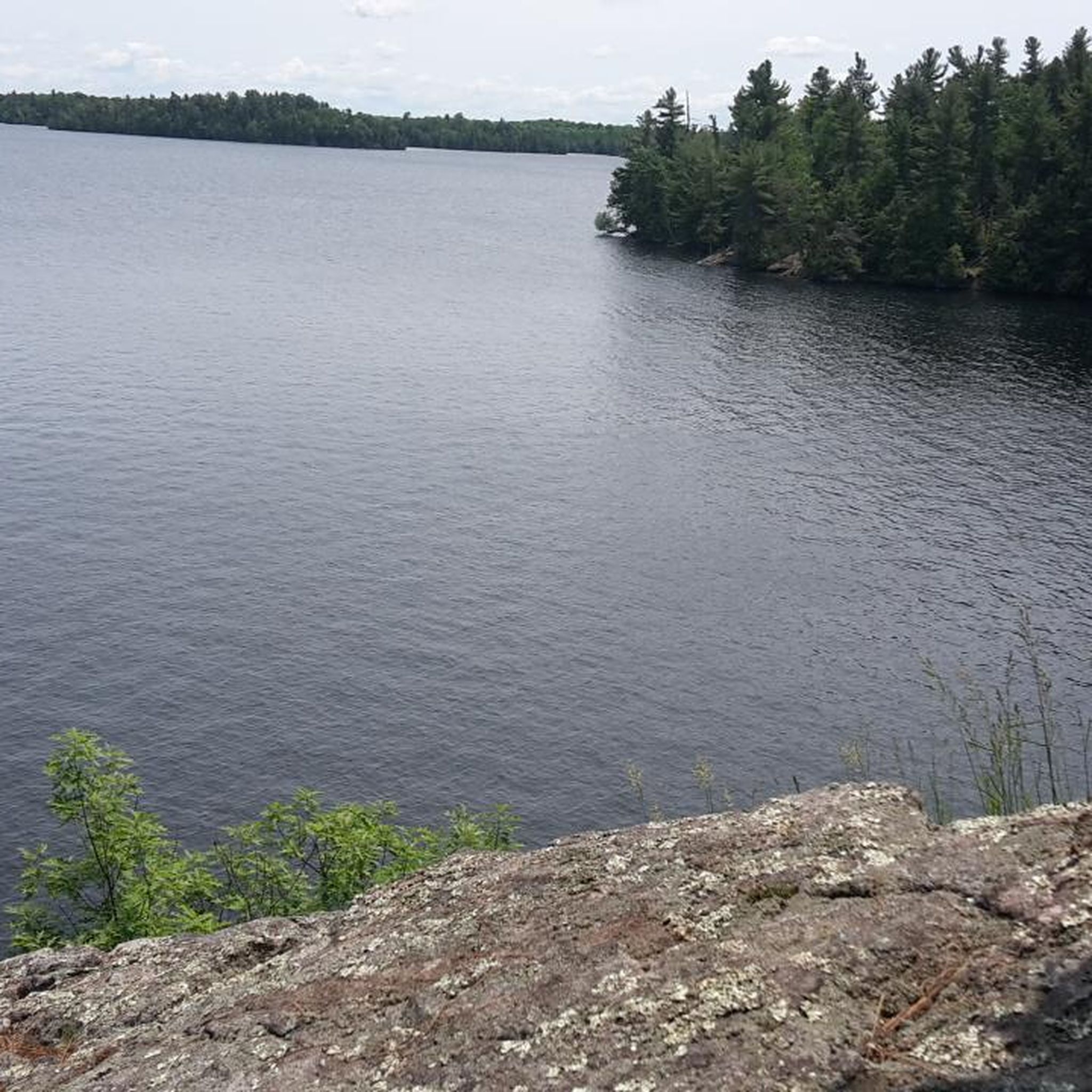
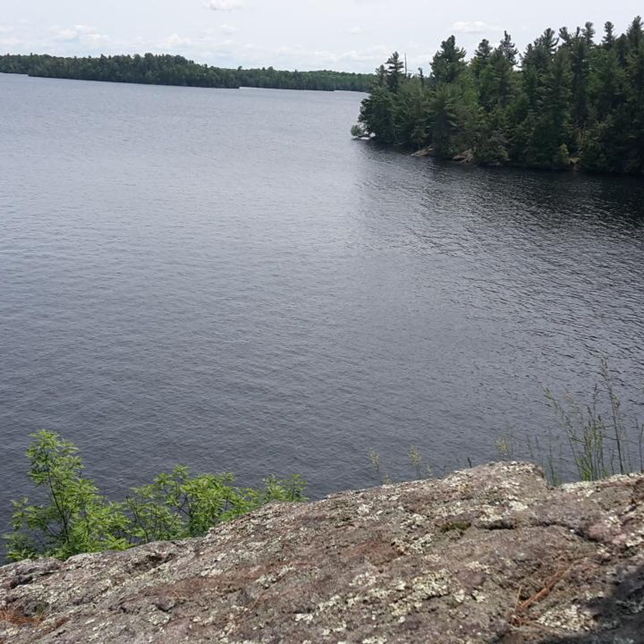
As the largest lake on the Rideau Canal system, Big Rideau Lake stretches across a maze of bays, islands, and rocky shorelines. Several sections of the trail follow the water's edge, offering uninterrupted views across the lake and opportunities to spot loons, herons, and passing boats. The combination of clear water, exposed granite, and forested shoreline creates some of the most scenic viewpoints in Murphy's Point Provincial Park.
0
0
This easy loop combines many of the park's best features into a relatively short walk. The trail winds through mature forest, crosses smooth Canadian Shield bedrock, and repeatedly returns to the shoreline of Big Rideau Lake. Frequent openings in the trees provide views across the lake and surrounding islands, while the mostly level terrain makes for a relaxed hike. It's an excellent introduction to Murphy's Point Provincial Park's mix of forest, granite outcrops, and lakeshore scenery.
0
0

Spy Rock is a scenic viewpoint accessible via a short boardwalk, making for smooth travel. The edge of the viewpoint is roped off, so please respect the ropes and stay behind them while enjoying views of the Main Street Bridge, which separates Westport Pond to the west and Mulvilles Bay to the east, with the small settlement of Westport sitting right in between.
0
0
The Blue Circle Trail takes hikers just north of the Beaver Pond through lush forests of 38 tree species, which include lofty pines and white oaks.
0
0
Take Meditation Trail, a short spur off Orange Maple Trail, to the shores of Upper Rideau Lake to get a wonderful view across the water. Upper Rideau Lake is the highest point in the Rideau Canal UNESCO World Heritage Site, sitting at 125 meters above sea level.
0
0
Frequently Asked Questions
How many hiking trails are available in Tay Valley?
Tay Valley offers several hiking opportunities, with around 8 routes documented on komoot. These trails cater to various preferences, ranging from easy strolls to more moderate hikes through diverse landscapes.
Are there easy hiking trails suitable for beginners or families in Tay Valley?
Yes, Tay Valley has many easy trails perfect for beginners and families. For instance, the Mill Pond – Mill Pond Conservation Area loop is an easy 2.8 miles (4.6 km) path through mixed bush and wetlands. The Tay Marsh Lookout Tower loop is another accessible option, offering a shorter, gentle walk. Additionally, the Tay River Pathway and Forest Trail Park, mentioned in the region's research, are designed for inclusive and accessible use, suitable for all abilities.
What kind of landscapes and natural features can I expect to see on hikes in Tay Valley?
Hiking in Tay Valley immerses you in the rugged beauty of the Canadian Shield, characterized by rocky shorelines and mature forests. The region is rich with natural features, including 31 lakes and 8 rivers like the Tay River and Big Rideau Lake. You'll encounter diverse environments, from mixed bush and old-growth trees to heavily plant-populated wetlands, often leading to scenic vistas with sweeping views.
Are there any circular hiking routes in Tay Valley?
Yes, Tay Valley features several excellent circular routes. A popular choice is the Foley Mountain Conservation Area outer loop, which is 4.0 miles (6.4 km) and offers varied terrain and views. Another local favorite is the Spy Rock loop from Westport, an easy 3.8 miles (6.1 km) path with scenic views from Spy Rock.
What are some notable landmarks or attractions to see while hiking in Tay Valley?
Tay Valley offers several interesting landmarks and attractions. You can visit Spy Rock for panoramic views, or explore the historic Narrows Lock Blockhouse. Murphys Point Provincial Park is a major attraction with over 20 kilometers of trails, showcasing historic sites and Canadian Shield landscapes. The Tay River Pathway also passes a beautiful round garden and leads to a waterfront lookout over the Tay River.
What is the best time of year to go hiking in Tay Valley?
Tay Valley offers beautiful hiking experiences throughout the year. Spring brings fresh greenery and blooming wildflowers, while summer is ideal for enjoying the lakes and rivers. Autumn is particularly stunning with vibrant fall foliage. Even winter offers opportunities for snowshoeing or cross-country skiing on some trails, though conditions can be rugged.
Are there any longer or more challenging trails for experienced hikers in the region?
While most komoot routes in Tay Valley are easy, the region connects to longer trails for experienced hikers. The 387-kilometer Rideau Trail, which runs between Ottawa and Kingston, passes through Tay Valley, including Murphys Point Provincial Park, offering rugged Canadian Shield lands and varied terrain. The Tay Havelock Trail is also a multi-use, 22-kilometer trail that follows an abandoned rail bed, providing an extended journey through the countryside.
Are Tay Valley's hiking trails dog-friendly?
Many trails in Tay Valley are dog-friendly, but it's always best to check specific park or trail regulations before you go. Generally, dogs are welcome on leash, and it's important to practice responsible pet ownership by cleaning up after your dog and ensuring they don't disturb wildlife or other hikers.
Where can I find parking for hiking trails in Tay Valley?
Parking availability varies by trail. Major parks like Murphys Point Provincial Park and Silver Lake Provincial Park typically have designated parking areas. For trails like the Conboy Trail or Tay Havelock Trail, there are multiple access points, often with parking facilities. It's advisable to check specific trailheads for detailed parking information before your visit.
What do other hikers enjoy most about hiking in Tay Valley?
The area is highly rated by the komoot community, with an average score of 5.0 stars. Hikers often praise the diverse landscapes, from the rugged Canadian Shield to the serene lakes and rivers, and the well-maintained trails that offer a true 'Canadiana' experience. The variety of routes, suitable for different abilities, is also frequently appreciated.
Are there any cafes or places to eat near the hiking trails in Tay Valley?
Yes, you can find amenities near some hiking areas. For example, The Sunflower Bake Shop is listed as a nearby attraction, offering a place to grab a bite. The towns and villages within Tay Valley, such as Perth and Westport, also provide various dining options and cafes for pre- or post-hike refreshments.
Are there any trails that are particularly good for wildlife viewing?
Tay Valley's diverse ecosystems, including wetlands, forests, and lake shores, make it an excellent spot for wildlife viewing. Trails in Murphys Point Provincial Park and around the Tay River and Big Rideau Lake are particularly good for spotting local fauna, including various bird species, deer, and other small mammals. The Tay Marsh Lookout Tower loop also offers views over a marshy area, ideal for birdwatching.
Most popular routes around Tay Valley
Most popular attractions around Tay Valley

Get inspired with the komoot mobile app


Explore more
Browse the best Hikes in other regions.
