The best road cycling routes around Tay Valley
76
riders
5
rides
Road cycling routes around Tay Valley traverse a landscape characterized by numerous lakes, rivers, and Canadian Shield formations, offering varied terrain for cyclists. The region features quiet country roads and a network of multi-use trails, including sections of the Trans Canada Trail and Tay Havelock Trail. Cyclists can expect routes that wind through forested areas and past agricultural lands, with some gentle hills. This combination provides a diverse environment for road cycling.
Best road cycling routes around Tay Valley
- The…
Last updated: May 17, 2026
28
riders
62.3km
02:31
300m
300m
Moderate road ride. Good fitness required. Mostly well-paved surfaces and easy to ride.
27
riders
60.6km
02:26
300m
300m
Moderate road ride. Good fitness required. Mostly well-paved surfaces and easy to ride.

Sign up for free
4
riders
79.3km
03:25
550m
550m
Moderate road ride. Good fitness required. Mostly well-paved surfaces and easy to ride.
4
riders
31.8km
01:18
220m
220m
Easy road ride. Great for any fitness level. Mostly well-paved surfaces and easy to ride.
3
riders
83.8km
03:50
670m
670m
Moderate road ride. Good fitness required. Mostly well-paved surfaces and easy to ride.
Our route recommendations are based on thousands of hikes, rides, and runs completed by other people on komoot.
Start today with a free account
Your next adventure awaits.
Login or Signup
Popular around Tay Valley
Tips from the Community

I haven't actually eaten or stayed here, but looks good. Restaurant seems to have very limited hours, Friday-Sunday only? Campsite has unserviced tent sites. Best to call ahead to avoid disappointment. https://www.sylvanialodge.com/
0
0

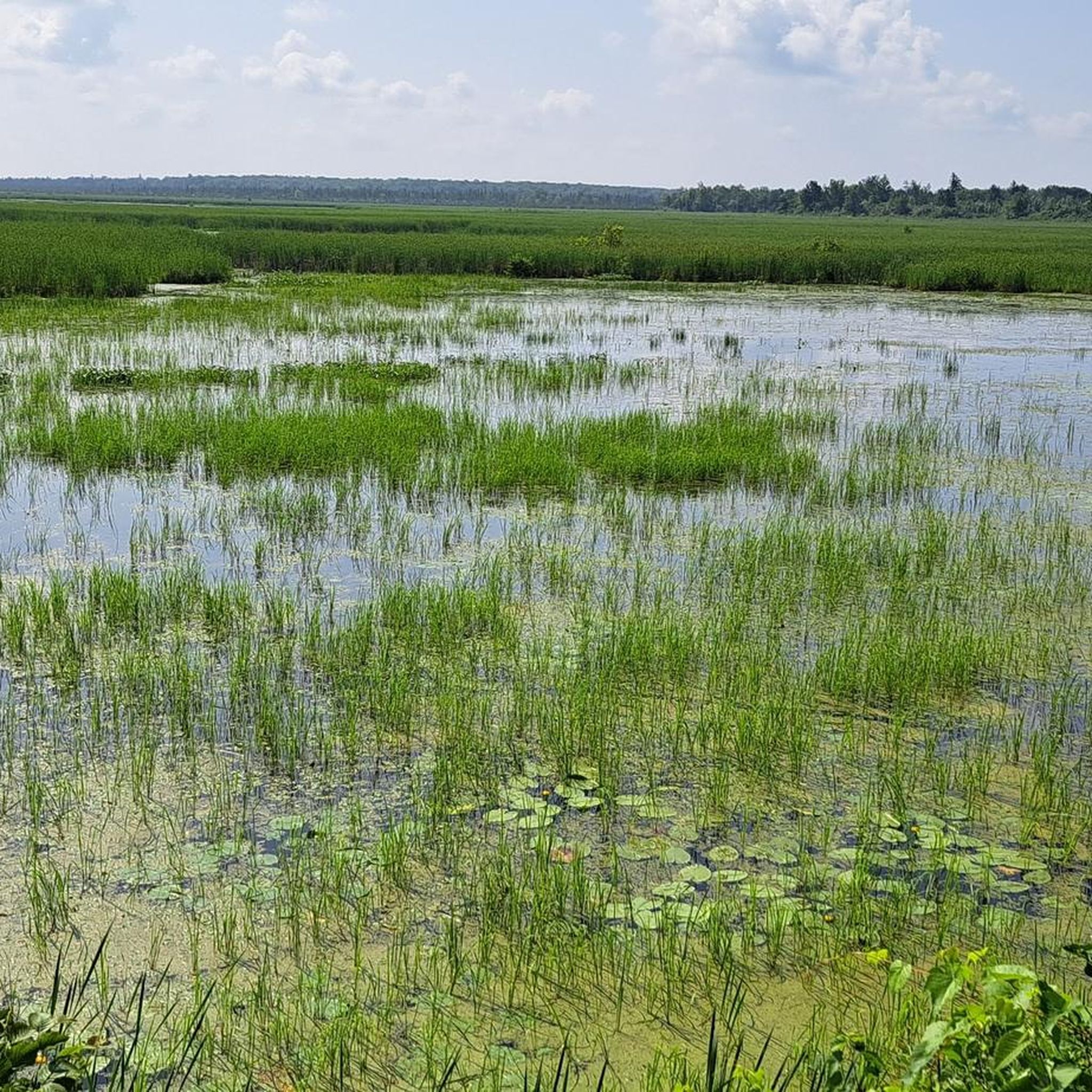
There used to be one lake, but Colonel By decided to raise the water level on Westport side to make construction of the canal to Newborough easier. It's a busy spot. Washrooms and picnic tables.
0
0
General store, with LCBO and hot food counter. 5am-8pm weekdays, 6am-8pm weekend.
0
0
Colonel By added a lock here separating Big Rideau Lake from Upper Rideau Lake to raise the level of Upper Rideau Lake. This allowed him to reduce the cost of building the canal to Newboro Lake. The washrooms and picnic area are open during the boating season only (roughly from Victoria Day to Thanksgiving).
0
0
Frequently Asked Questions
How many road cycling routes are available in Tay Valley?
Komoot features several road cycling routes in Tay Valley, offering a mix of easy and moderate options. Currently, there are 5 routes detailed, with more being added by the community.
Are there easy road cycling routes suitable for beginners or families in Tay Valley?
Yes, Tay Valley offers easy road cycling routes perfect for beginners or families. An excellent option is the Narrows Lock Blockhouse loop from Newboro, an easy 31.8 km ride that takes you through scenic areas around Narrows Lock.
What kind of scenery can I expect on road cycling routes in Tay Valley?
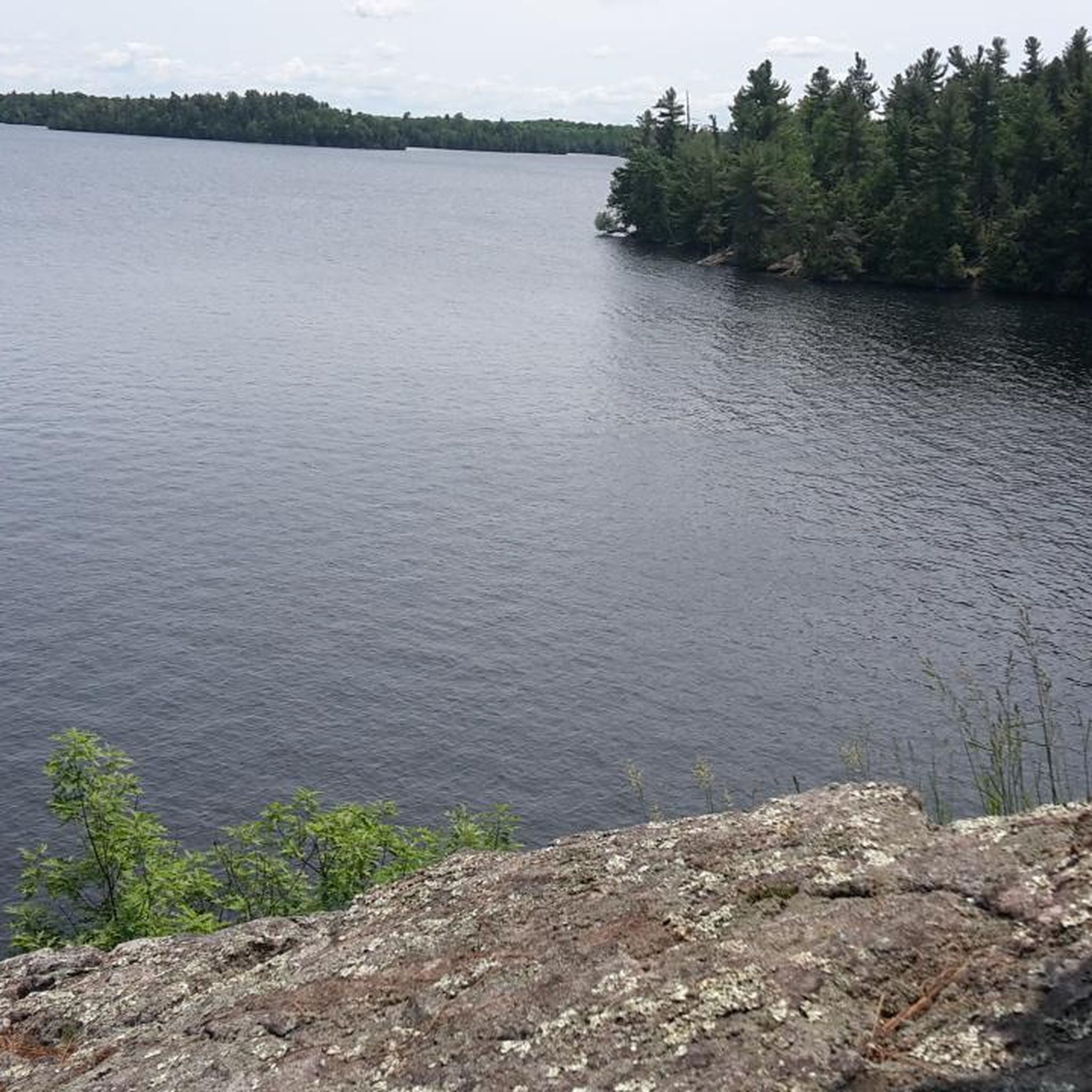
Road cycling in Tay Valley offers diverse scenery, characterized by quiet country roads winding through forested areas, past agricultural lands, and alongside numerous lakes and rivers. You'll encounter picturesque Canadian Shield formations and gentle hills, providing a visually engaging experience. The region is known for its scenic views, particularly around areas like Christie Lake and the Rideau Canal system.
Are there longer or more challenging road cycling routes for experienced cyclists?
For experienced cyclists seeking longer or more challenging rides, Tay Valley has several moderate routes. The Roadbike loop from Baird Community Forest is a substantial 83.8 km route leading through forested sections and open countryside. Another option is the Narrows Lock Blockhouse loop from Rideau Trail parking, covering 79.2 km with significant elevation changes.
Are there any circular road cycling routes in Tay Valley?
Many of the road cycling routes in Tay Valley are designed as loops, allowing you to start and finish at the same point. Examples include the Narrows Lock Blockhouse loop from Rideau Ferry Conservation Area (62.3 km) and the Narrows Lock Blockhouse loop from Portland (60.6 km), both offering comprehensive tours of their respective areas.
What are some interesting sights or landmarks to see while road cycling in Tay Valley?
While road cycling in Tay Valley, you can explore various interesting sights. The historic Narrows Lock Blockhouse is a notable landmark. For scenic views, consider stopping at Spy Rock. The region also features parts of the Rideau Heritage Route, offering a journey through local heritage, and numerous lakes and rivers that contribute to the picturesque backdrop.
Are there places to stop for refreshments or food along the road cycling routes?
Yes, you can find places to stop for refreshments. For instance, The Sunflower Bake Shop is a highlight in the area, offering a convenient stop for cyclists. Many routes pass through or near hamlets and towns where cafes and local eateries can be found, especially along the Rideau Heritage Route.
What is the best time of year for road cycling in Tay Valley?
The best time for road cycling in Tay Valley is generally from spring through fall. During these seasons, the weather is most favorable, and the natural landscapes are vibrant. Spring brings fresh greenery, while fall offers stunning foliage. Cyclists should be mindful of seasonal conditions, as some trails may have gravel sections that are better suited for sturdier tires, and winter conditions can make road cycling challenging.
Are there dedicated cycling trails or are routes mostly on roads?
Tay Valley offers a mix of quiet country roads and dedicated multi-use trails suitable for cycling. The region incorporates sections of significant trails like the Trans Canada Trail and the Tay Havelock Trail, which often follow abandoned rail beds. While some sections of these trails might have gravel, many road cycling routes utilize the extensive network of quiet paved roads that traverse the scenic countryside.
Where can I find parking when starting a road cycling route in Tay Valley?
Parking is generally available at various access points for trails and routes throughout Tay Valley. For example, the Narrows Lock Blockhouse loop from Rideau Trail parking indicates a specific parking area. Many provincial parks like Murphys Point Provincial Park also offer parking facilities, which can serve as starting points for exploring the surrounding road networks.
Can I access road cycling routes in Tay Valley using public transport?
While Tay Valley is primarily accessed by car, some regional public transport options might connect to larger towns near cycling routes. However, direct public transport access to specific trailheads or rural road cycling starting points can be limited. It's advisable to check local transit schedules and routes if planning to use public transport to reach your cycling destination.
Most popular routes around Tay Valley
Most popular attractions around Tay Valley

Get inspired with the komoot mobile app


Explore more
Browse the best Road cycling routes in other regions.
