The best gravel rides around Bonita
3.0
(3)
38
riders
7
rides
Gravel biking around Bonita offers diverse terrain across its picturesque rolling hills and varied parklands. The region features scenic vistas of the Sweetwater Reservoir and includes trails through eucalyptus groves and along equestrian paths. This landscape provides a mix of unpaved surfaces suitable for gravel cyclists seeking exploration.
Best gravel bike trails around Bonita
- The most popular gravel bike trail is Upper Otay Reservoir Dam – Tiki Hut loop from Rancho San Diego, a 23.2 miles (37.4 km) trail…
Last updated: August 1, 2026
4.0
(1)
9
riders
37.8km
03:18
570m
570m
Hard gravel ride. Very good fitness required. Mostly paved surfaces. Suitable for all skill levels.
4.0
(1)
8
riders
Hard gravel ride. Very good fitness required. Mostly paved surfaces. Suitable for all skill levels.

Sign up for free
6
riders
39.8km
03:33
590m
590m
Hard gravel ride. Very good fitness required. Mostly paved surfaces. Suitable for all skill levels.
6
riders
71.2km
04:38
1,250m
1,250m
Hard gravel ride. Very good fitness required. Mostly paved surfaces. Suitable for all skill levels.
2
riders
37.7km
02:37
510m
510m
Hard gravel ride. Very good fitness required. Mostly paved surfaces. Suitable for all skill levels.
Get access to more routes and recommendations from other explorers.
Sign up for free
Already have an account?
Our route recommendations are based on thousands of hikes, rides, and runs completed by other people on komoot.
Start today with a free account
Your next adventure awaits.
Login or Signup
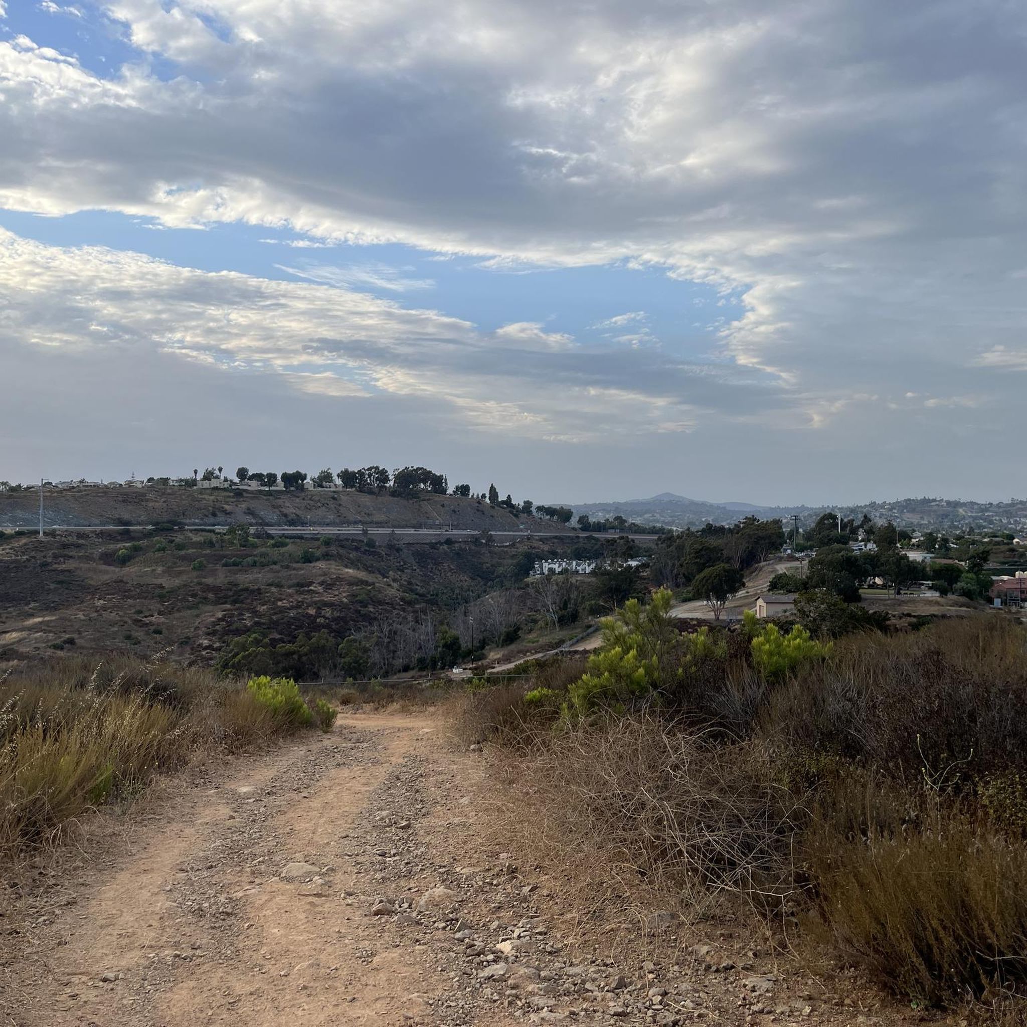
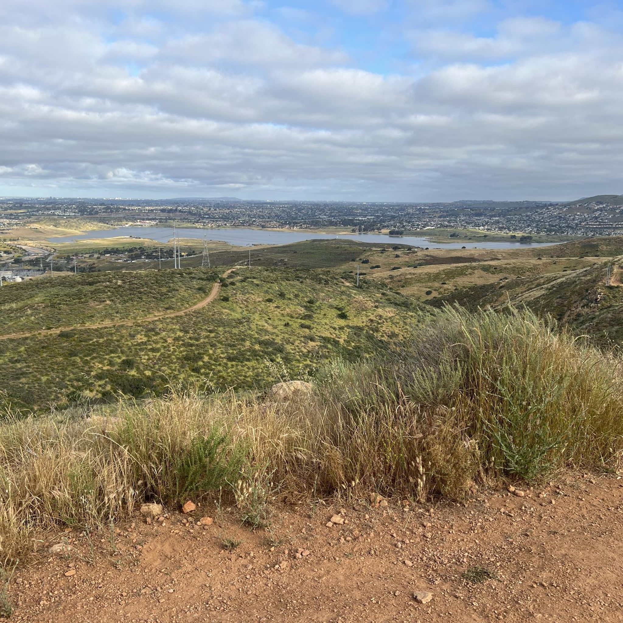
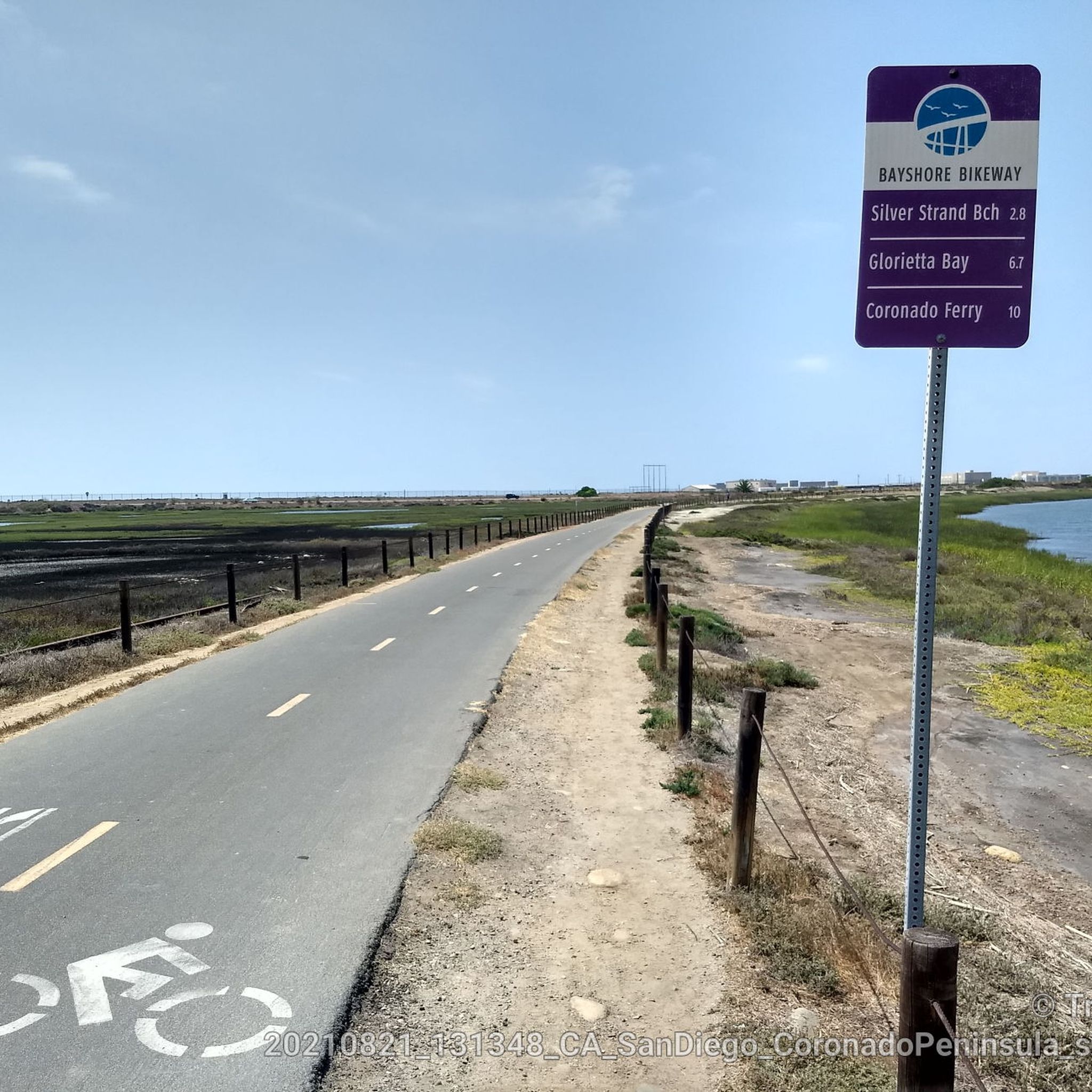
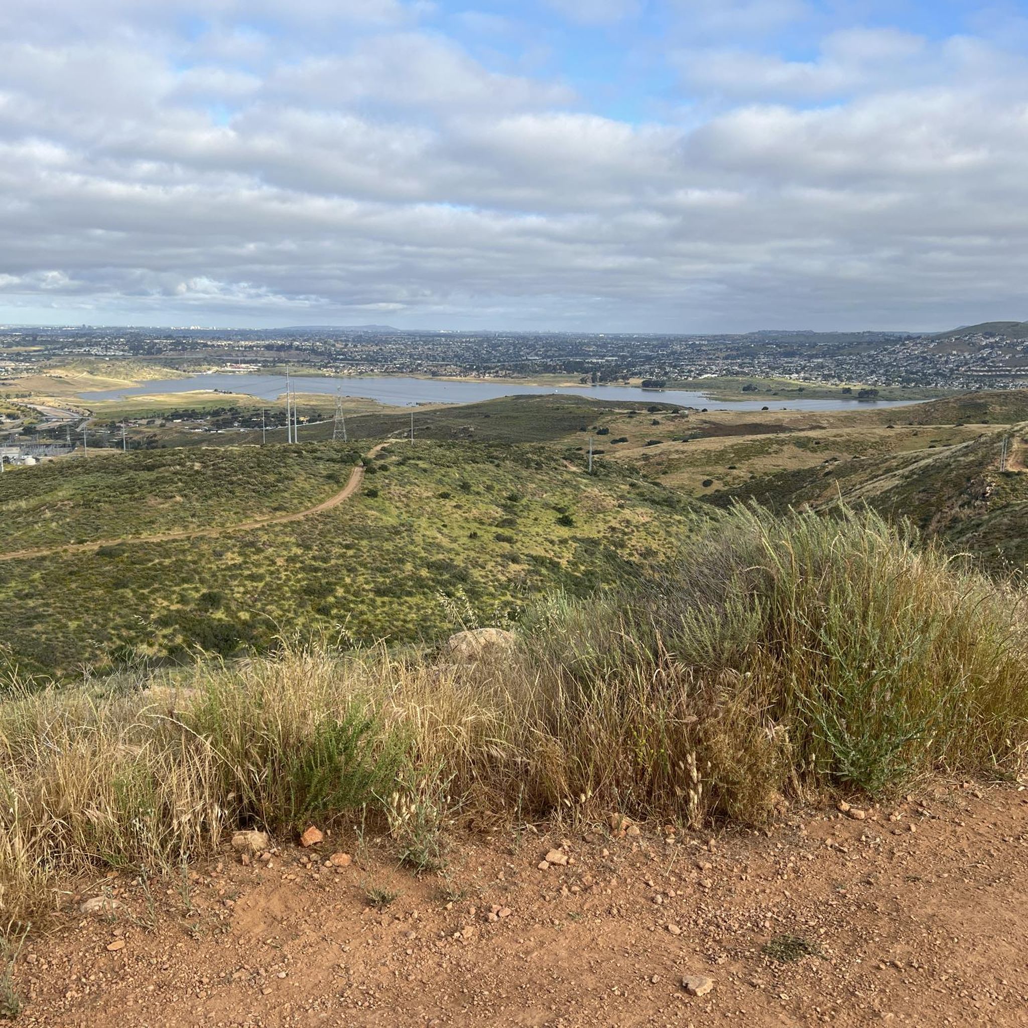
Tips from the Community


The Sweetwater River Trail is an 8-mile loop trail that runs along both sides of the river. The trail has some elevation gain, but this gives you nice views of the nearby mountains.
0
0

If you plan it well, you can finish the ride with some beers and snacks from the Pio Pico camping grounds store.
0
0
The Otay River is one of the main attractions in the Otay Valley Regional Park. The river is home to several types of waterfowl and other wildlife, so if you have some time on your ride, it is a great place to take a break and see what you can spot.
0
0

This park stands as one of the largest open spaces in the South Bay of San Diego County, stretching across approximately 11 miles. It has miles of trails, with the Otay Valley meandering through it, alongside salt ponds on the outskirts.
2
0

The Steele Canyon Bridge, also known as the Sweetwater River Bridge, is a beautiful landmark crossing the Sweetwater River. It is on the National Register of Historic places, and is no longer used for vehicles but is a great hiking, running or biking spot.
0
0
This area is the northernmost part of Otay Ranch and the southern part of the San Diego National Wildlife Refuge. The scenic views of rolling hills and well-maintained trails make it a highly popular biking area.
0
0
Frequently Asked Questions
How many gravel bike trails are available in Bonita?
Bonita offers a good number of gravel biking opportunities, with several routes mapped out. You'll find a mix of moderate and difficult trails to explore, totaling 6 routes in our guide.
What kind of terrain can I expect on Bonita's gravel trails?
Bonita's gravel trails feature picturesque rolling hills, scenic vistas of the Sweetwater Reservoir, and paths winding through eucalyptus groves. Many routes also follow equestrian trails, providing varied unpaved surfaces ideal for gravel cycling.
Are there any easy or beginner-friendly gravel bike trails in Bonita?
While many routes are rated moderate to difficult, areas like Sweetwater Summit Regional Park are known to have sections suitable for less experienced riders, often overlapping with beginner-difficulty mountain bike trails. For a moderate challenge, consider the Otay Valley Regional Park – Sweetwater Bikeway loop from Palomar Street.
What scenic viewpoints or natural features can I see along the gravel trails?
Many trails offer stunning views of the Sweetwater Reservoir. You can also encounter natural highlights like the Otay Reservoir Dam and the expansive Sweetwater Reservoir itself. Rohr Park also features beautiful eucalyptus groves.
Are there any interesting landmarks or attractions near the gravel routes?
Yes, beyond the natural beauty, you can find attractions such as the Mother Miguel Mountain Summit Rockhouse. The Sweet Water River Trail and Sweetwater Bikeway are also notable features that some routes incorporate.
Are there family-friendly gravel biking options in Bonita?
While specific family-friendly routes are not explicitly detailed, the presence of parks like Rohr Park and Sweetwater Summit Regional Park, which offer general cycling paths, suggests that sections could be suitable for families. Always check the route difficulty and terrain before heading out with children.
Can I bring my dog on the gravel bike trails in Bonita?
Policies regarding dogs on trails can vary by park and specific trail. While some parks in Bonita are dog-friendly, it's always best to check the specific regulations for Sweetwater Summit Regional Park, Rohr Park, or any other trail you plan to ride to ensure dogs are permitted and if they need to be on a leash.
Where can I find parking for gravel biking in Bonita?
Many of Bonita's parks, such as Sweetwater Summit Regional Park and Rohr Park, offer designated parking areas that can serve as convenient starting points for your gravel rides. Check individual park websites for specific parking information and any potential fees.
Are there any loop gravel bike trails in Bonita?
Yes, several popular gravel routes in Bonita are loops. For example, you can explore the challenging Otay Mesa – Otay Mountain loop from Palomar Street or the Proctor Valley Road loop from Spring Valley.
What do other gravel bikers say about the trails in Bonita?
The gravel biking routes in Bonita are appreciated by the komoot community, with over 27 gravel bikers having explored the area. Riders often highlight the diverse terrain and scenic views, particularly around the reservoirs and rolling hills.
What is the best time of year for gravel biking in Bonita?
Bonita enjoys a mild climate, making gravel biking enjoyable for much of the year. Spring and fall offer pleasant temperatures, while winter can also be a good time to ride, avoiding the hotter summer months. Always check local weather forecasts before your ride.
Are there any long-distance gravel routes in Bonita?
Yes, Bonita offers options for longer gravel rides. The Otay Mesa – Otay Mountain loop from Palomar Street is a substantial route, covering over 44 miles (71 km) and typically taking around 5 hours 42 minutes to complete.
How can I get to the gravel trails in Bonita using public transport?
While Bonita is accessible by public transport, reaching specific trailheads might require a combination of bus services and a short ride. It's advisable to plan your journey using local transit apps or websites, considering that some trail access points may be a distance from public transport stops.
Most popular attractions around Bonita

Get inspired with the komoot mobile app


Explore more
Browse the best Gravel rides in other regions.
