The best road cycling routes around Grytdalen natureservat
4.8
(4)
106
riders
6
rides
Road cycling around Grytdalen natureservat, located in Telemark, Norway, features a diverse and varied topography. The region is characterized by mountainous terrain with numerous peaks, offering opportunities for significant elevation gain. It also includes forested hillsides, lakes, and rivers, providing a mix of landscapes for road cyclists. This environment allows for routes that traverse alpine, wooded, and lakeside areas.
Best road cycling routes around Grytdalen natureservat
- The most popular road cycling route is View of the lock on the river…
Last updated: May 19, 2026
5.0
(1)
26
riders
141km
07:30
2,680m
2,680m
Hard road ride. Very good fitness required. Some segments of this route may be unpaved and difficult to ride.
4.0
(1)
19
riders
107km
04:56
1,140m
1,140m
Hard road ride. Very good fitness required. Some segments of this route may be unpaved and difficult to ride.

Sign up for free
9
riders
143km
07:18
2,340m
2,340m
Hard road ride. Very good fitness required. Some segments of this route may be unpaved and difficult to ride.
9
riders
138km
06:17
1,350m
1,350m
Hard road ride. Very good fitness required. Some segments of this route may be unpaved and difficult to ride.
5.0
(1)
35
riders
41.7km
01:56
330m
330m
Moderate road ride. Good fitness required. Some segments of this route may be unpaved and difficult to ride.
Our route recommendations are based on thousands of hikes, rides, and runs completed by other people on komoot.
Start today with a free account
Your next adventure awaits.
Login or Signup
Popular around Grytdalen natureservat
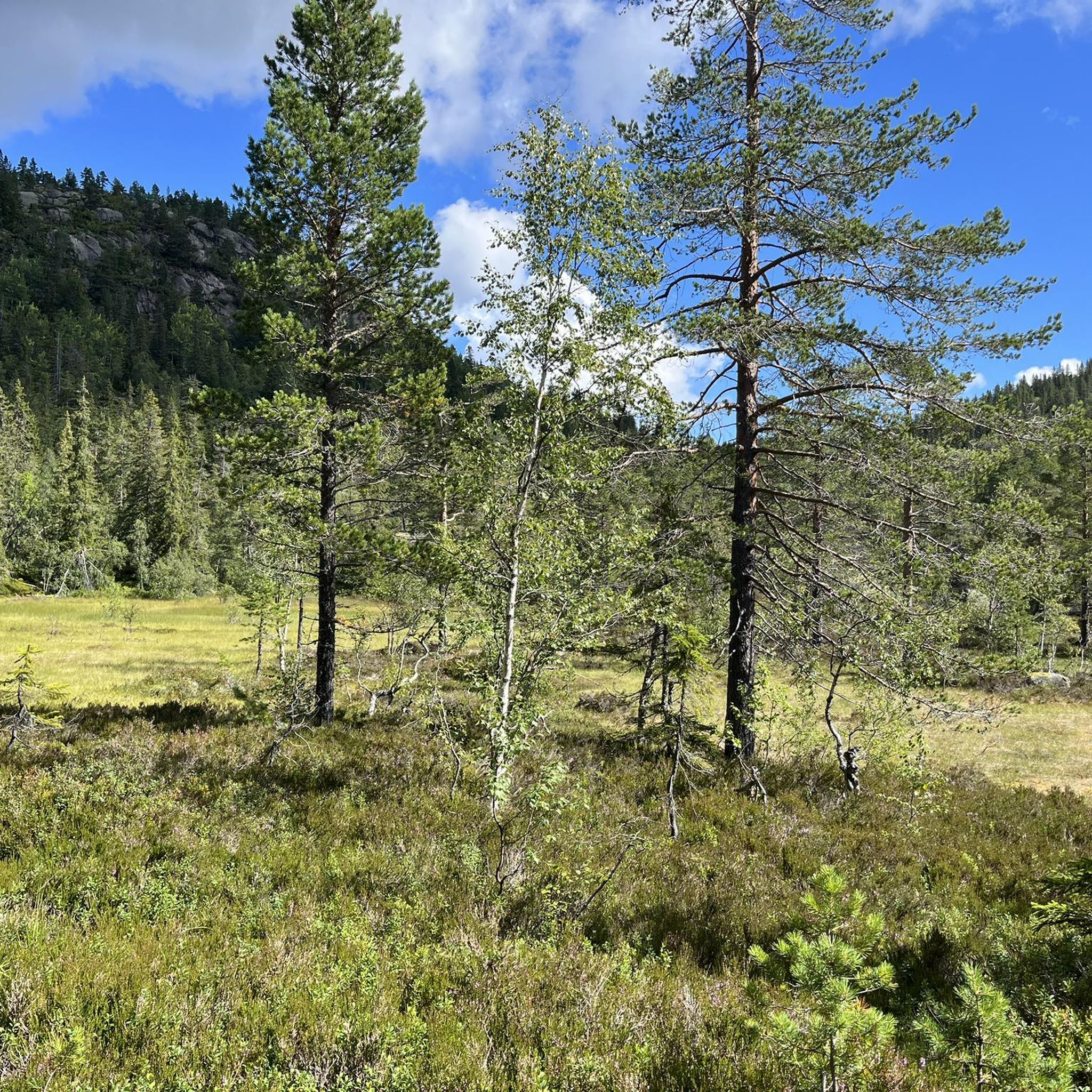
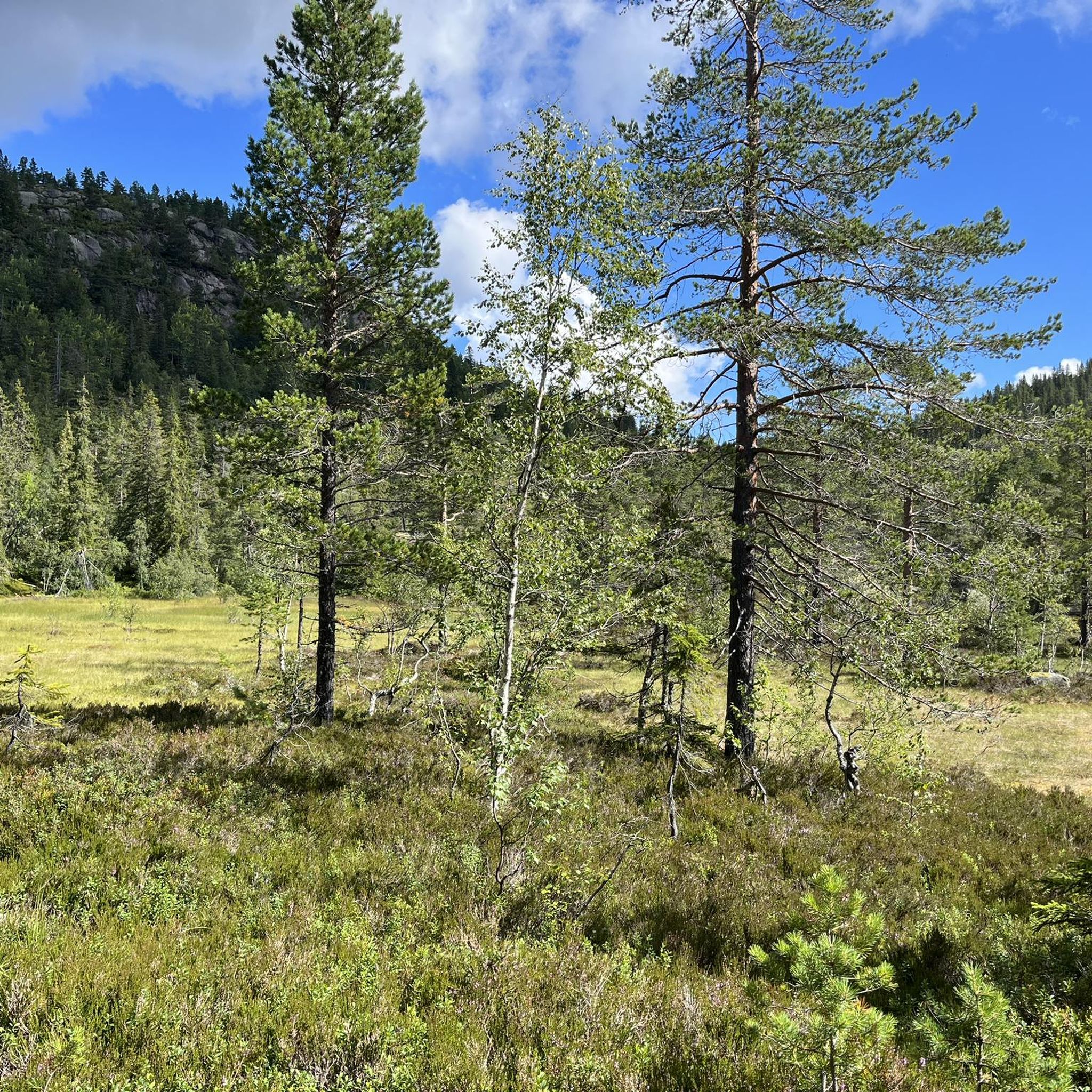
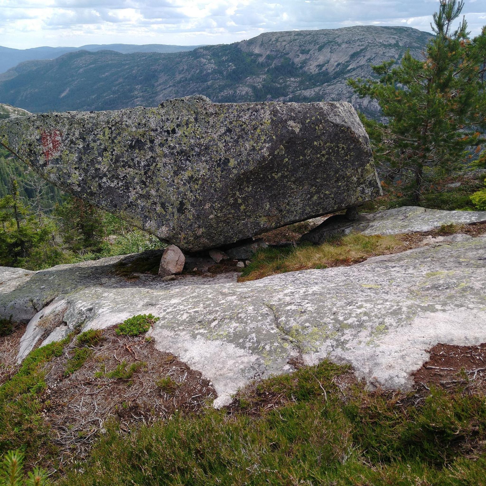
Tips from the Community

A beautiful stretch of trail near the canal between Ulefoss and Strengen. The word "murane" in Norwegian means "stone walls." A section of the ancient road that connected the two settlements is preserved here.
0
0

You can stop here for a break, sit at the wooden tables, and admire the view. It's a great spot for lunch!
0
0

Sundebrui is a bridge over the Kviteseidvatnet channel near Kjelldal. As you pedal across, you'll get good views along the waterway, which forms part of the historic Telemark Canal system. It serves as a practical connection and a scenic point.
0
0
Kviteseid Bygdetun is an open-air museum located in Kviteseid, showcasing traditional buildings from the surrounding region. It offers a glimpse into historical ways of life and local architecture in Telemark.
0
0

one of the best preserved Norwegian stave churches. You can only enter during the museum's opening hours with guided tours at 1 p.m., 3 p.m. and 5 p.m., and you need a museum ticket (60 NOK)
0
0


Pass summit between Drangedal and Kviteseid municipality with a former bear cave. Nice descent to Steane. Otherwise a moderate increase.
0
0

Beautifully landscaped, always slightly up and down
0
1
Frequently Asked Questions
How many road cycling routes are available around Grytdalen natureservat?
There are 6 road cycling routes documented around Grytdalen natureservat on komoot. These routes offer a variety of experiences, from moderate to difficult, catering to different skill levels.
What kind of terrain can I expect on road cycling routes in Grytdalen natureservat?
The region features a diverse and varied topography. You can expect mountainous terrain with significant elevation gain, alongside forested hillsides, numerous lakes, and rivers. This mix allows for routes that traverse alpine, wooded, and lakeside environments, providing a dynamic cycling experience.
Are there road cycling routes suitable for beginners in Grytdalen natureservat?
While many routes in the area are classified as difficult, there are options for those seeking a more moderate challenge. For example, the Storstraum – Geitåsen loop from Fossøyi is a moderate 41.7 km route that can be completed in under two hours, offering varied terrain without extreme difficulty.
What are some challenging road cycling routes for experienced riders?
Experienced riders looking for a significant challenge will find several difficult routes. The Steep Climb to Vrådal – View of Dalen and Lake Bandak loop from Bø is an 87.0-mile (140.0 km) path with challenging ascents and varied scenery. Another demanding option is the View of the lock on the river – View of the Telemark Canal loop from Fossøyi, which spans 89.2 miles (143.5 km) and features substantial elevation gain.
What scenic views or natural features can I expect to see while road cycling here?
Road cycling around Grytdalen natureservat offers stunning natural beauty. You'll encounter dramatic mountainous scenery, including peaks like Fagerlihei, and diverse landscapes featuring forested hillsides, serene lakes, and winding rivers. Many routes provide 'great views' and 'panoramic views' of the untouched Norwegian wilderness, shaped by the last ice age.
Are there any specific routes known for their panoramic vistas?
While specific routes are not explicitly named for panoramic vistas in the data, the region itself is known for points like Venelifjellet, which offers expansive views. The mountainous terrain and diverse landscapes throughout Grytdalen natureservat ensure that many routes will provide rewarding scenic outlooks, especially those with significant elevation gain.
What do other road cyclists enjoy the most about road cycling in Grytdalen natureservat?
The area is highly rated by the komoot community, with an average score of 4.75 stars from over 4 reviews. Cyclists often praise the diverse and varied topography, which includes challenging mountainous sections, serene forested hillsides, and picturesque lakeside environments. The opportunity to experience untouched Norwegian wilderness is also a significant draw.
Are there any loop trails for road cycling in Grytdalen natureservat?
Yes, several routes are designed as loops, allowing you to start and end at the same point. Examples include the Steep Climb to Vrådal – View of Dalen and Lake Bandak loop from Bø, the Kleivhammar loop from Fossøyi, and the Øyne Camping – Kleivhammar loop from Fossøyi, among others.
What is the best time of year to go road cycling in Grytdalen natureservat?
Given the mountainous and natural characteristics of Grytdalen natureservat, the best time for road cycling is typically during the warmer months, from late spring through early autumn. This period offers more stable weather conditions, less chance of snow or ice at higher elevations, and full access to the scenic routes.
Are there any amenities like cafes or accommodation along the road cycling routes?
While the region emphasizes untouched wilderness, some routes may pass near small towns or villages where basic amenities like cafes or accommodation could be found. For instance, the Øyne Camping – Kleivhammar loop from Fossøyi suggests proximity to camping facilities. It's advisable to check specific route details and local information for available services before your ride.
Is public transport available to access road cycling routes in Grytdalen natureservat?
The provided data does not specify public transport options directly to the trailheads within Grytdalen natureservat. Given its nature reserve status and focus on wilderness, access might primarily be by private vehicle. It is recommended to research local bus or train services to nearby towns in Telemark and plan accordingly for the final leg to your starting point.
Are there any regulations or permits required for road cycling in Grytdalen natureservat?
The information does not indicate specific permits required for road cycling within Grytdalen natureservat. However, as it is a nature reserve, cyclists should always adhere to general outdoor recreation guidelines, respect local wildlife, and stay on designated roads. Always check local regulations before your visit to ensure compliance.
Most popular routes around Grytdalen natureservat

Get inspired with the komoot mobile app


Explore more
Browse the best Road cycling routes in other regions.
