The best walks and hikes around Grytdalen natureservat
4.4
(286)
1,169
hikers
28
hikes
Hiking around Grytdalen natureservat, located in Telemark, Norway, offers diverse landscapes shaped by granite and granodiorite bedrock. The region features varied topography, including extensive bog areas and numerous watercourses within broad valleys. It is home to 21 named mountains, with Fagerlihei as the highest peak, providing opportunities for elevated views. Hikers can explore dense forests and rolling hills, characteristic of the Norwegian wilderness.
Best hiking trails around Grytdalen natureservat
- The most popular hiking route is Venelifjellet Loop Trail, a…
Last updated: May 17, 2026
4.4
(10)
34
hikers
7.04km
02:08
220m
230m
Moderate hike. Good fitness required. Easily-accessible paths. Suitable for all skill levels.
4.8
(43)
176
hikers
6.70km
02:18
340m
340m
Moderate hike. Good fitness required. Easily-accessible paths. Suitable for all skill levels.

Sign up for free
4.7
(3)
6
hikers
6.14km
01:59
270m
270m
Easy hike. Great for any fitness level. Easily-accessible paths. Suitable for all skill levels.
5.0
(1)
5
hikers
3.26km
01:08
180m
180m
Easy hike. Great for any fitness level. Easily-accessible paths. Suitable for all skill levels.
4.8
(11)
45
hikers
13.8km
04:37
680m
680m
Moderate hike. Good fitness required. Easily-accessible paths. Suitable for all skill levels.
Get access to more routes and recommendations from other explorers.
Sign up for free
Already have an account?
Our route recommendations are based on thousands of hikes, rides, and runs completed by other people on komoot.
Start today with a free account
Your next adventure awaits.
Login or Signup
Popular around Grytdalen natureservat
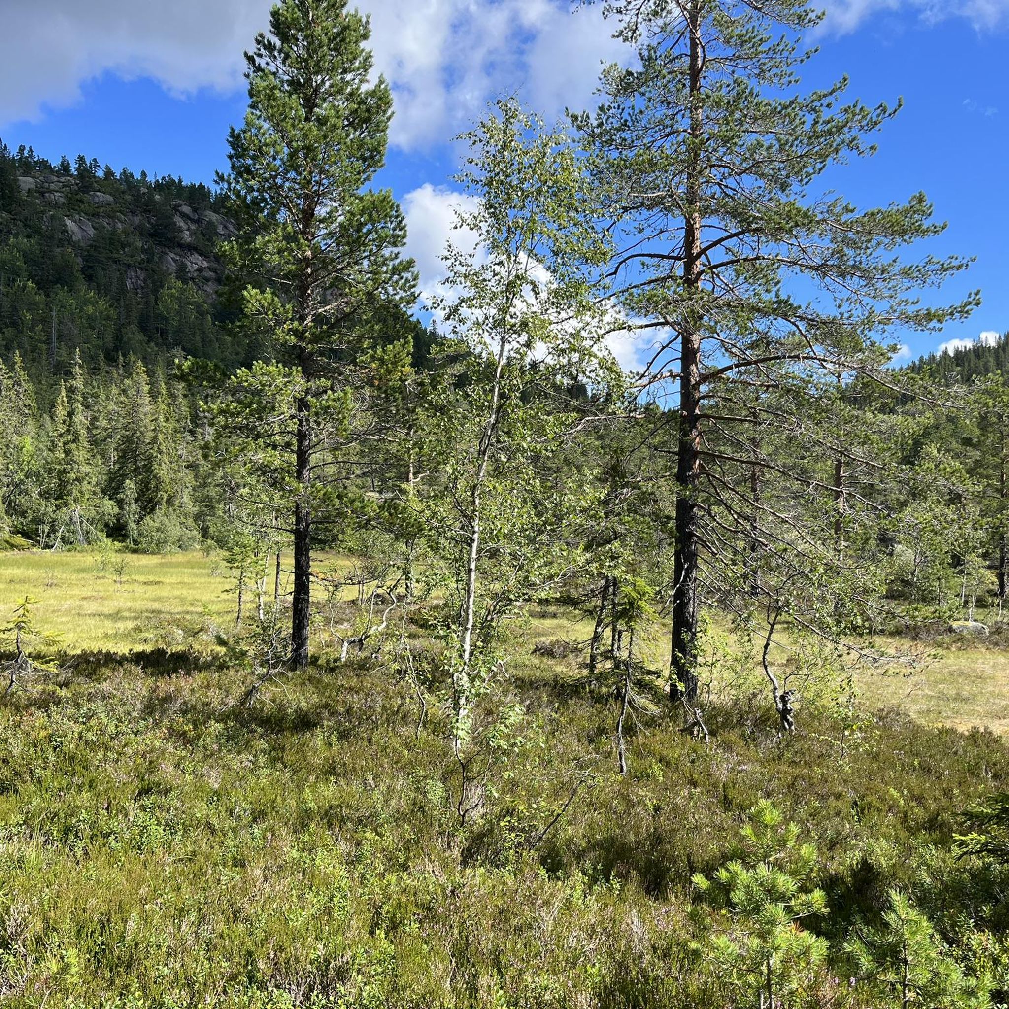
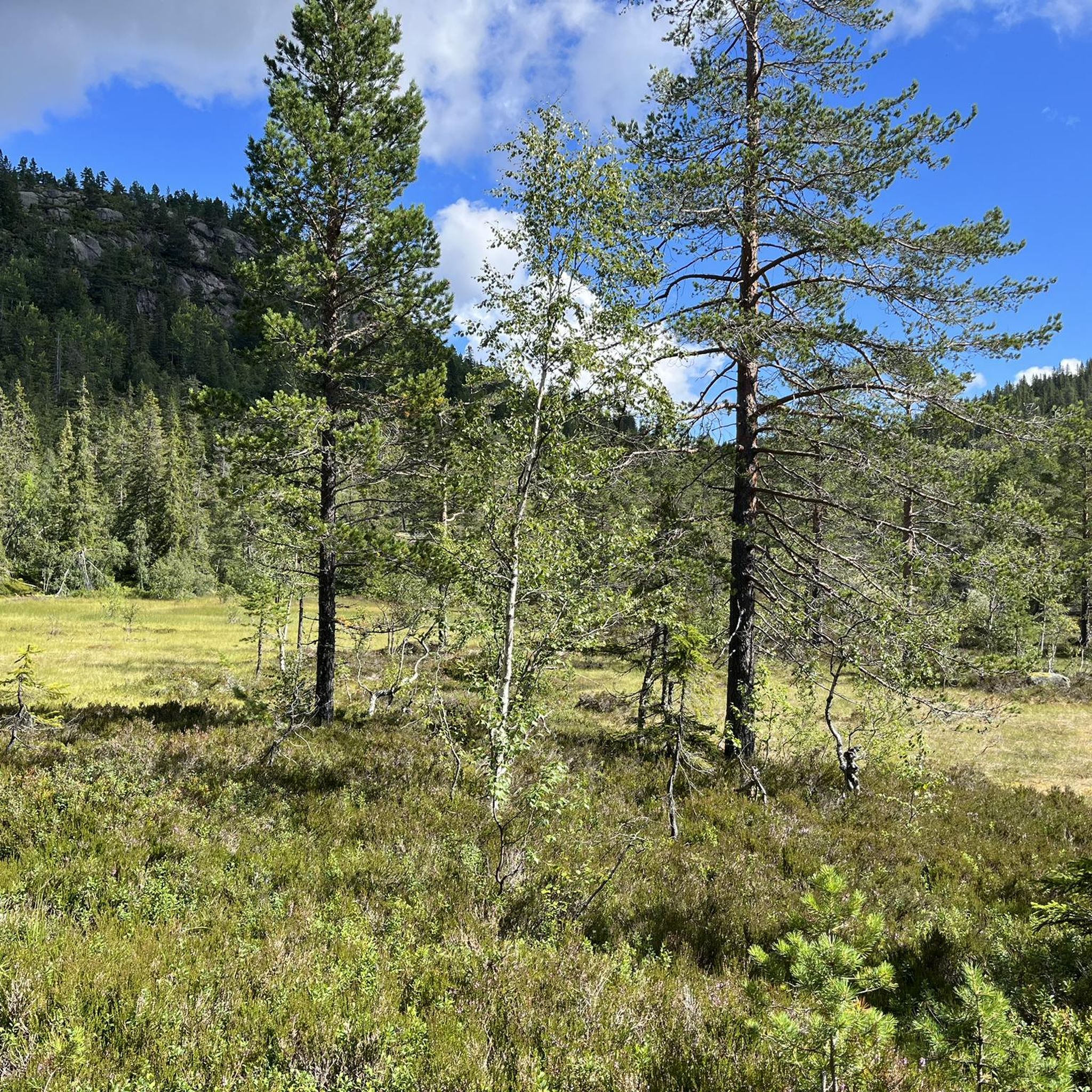
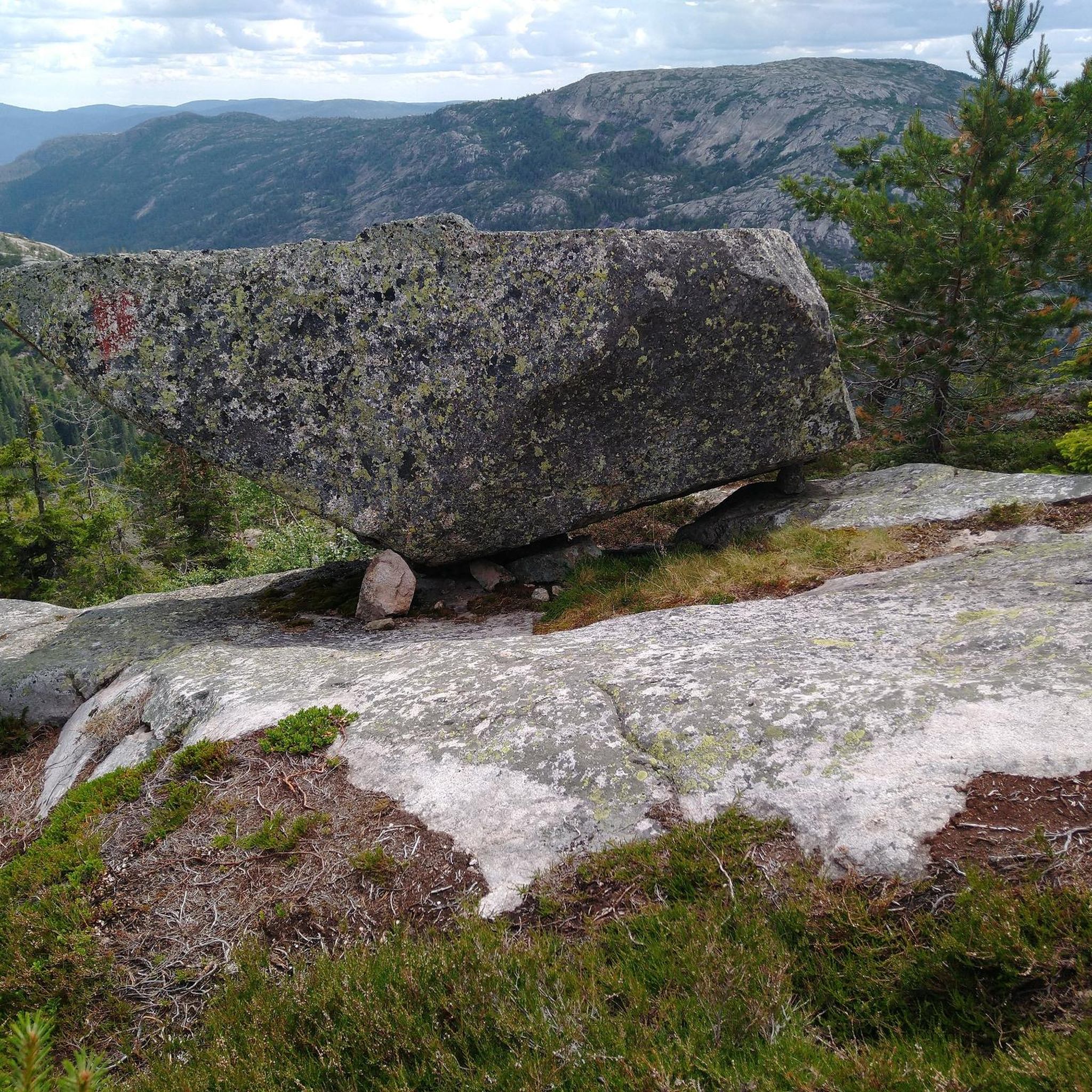
Tips from the Community

I've done the tour twice, including immediately after heavy rain. With good shoes, it's no problem. Great views.
0
0

Tucked away in the untouched Norwegian wilderness, this charming hut offers a true escape from the modern world. Surrounded by rolling hills, dense forests, and endless tranquility, it’s the perfect spot to disconnect and soak in nature’s beauty.
0
0

Very bad path for 2km! Tedious!
0
0

Sturdy shoes and sure-footedness required. I would refrain from the tour if it was raining, as the stones are very slippery when wet. But otherwise a mega nice round.
0
1

There is a kind of observation tower here
0
0
Here you can get out of town and into the wild nature.
0
0
Frequently Asked Questions
What kind of terrain and landscapes can I expect when hiking in Grytdalen naturreservat?
Grytdalen naturreservat features a varied topography shaped by granite and granodiorite bedrock. You'll encounter diverse Norwegian landscapes, including extensive bog areas, numerous watercourses within broad valleys, dense forests, and rolling hills. The reserve is also home to 21 named mountains, offering opportunities for elevated views.
What is the range of difficulty for hikes in Grytdalen naturreservat?
The trails in Grytdalen naturreservat cater to a wide range of hikers. You can find easily accessible paths suitable for all skill levels, including shorter routes of up to two hours. For those with good fitness, there are moderate trails requiring up to five hours and around 3,000 feet of elevation gain. More demanding expeditions requiring very good fitness and alpine experience are also available.
Are there easy hiking trails suitable for families or beginners in Grytdalen naturreservat?
Yes, Grytdalen naturreservat offers several accessible trails suitable for families and beginners. These often include shorter routes with less elevation gain, allowing for leisurely strolls. An example of an easier route is the Start of the Circular Trail – Cave by the Trail loop from Høgøyi, which is rated as easy.
Are there circular hiking routes available in Grytdalen naturreservat?
Yes, there are several circular hiking routes in Grytdalen naturreservat. Popular options include the Venelifjellet Loop Trail, which offers panoramic views, and the View of the Telemark Mountains – Venelifjell loop from Skurven. Another option is the Venelifjell – View of the Telemark Mountains loop from Krintolen for a longer experience.
What natural features or viewpoints can I expect to see along the trails?
Hikers can enjoy diverse natural features, including extensive bog areas, numerous watercourses, and dense forests. The mountainous terrain provides opportunities for panoramic views, especially from peaks like Fagerlihei, Kollingan, and Mørkvasskyrkja. Routes like the Venelifjellet Loop Trail are specifically noted for their panoramic vistas.
Can I bring my dog on the trails in Grytdalen naturreservat?
While the region is generally welcoming to dogs, it's important to be aware of specific regulations within a nature reserve. Typically, dogs must be kept on a leash to protect wildlife and ensure a pleasant experience for all visitors. Always check local signage upon arrival for any specific rules or seasonal restrictions.
What is the best time of year to hike in Grytdalen naturreservat?
The best time to hike in Grytdalen naturreservat is generally during the warmer months, from late spring to early autumn, when trails are clear of snow and ice. This period offers the most pleasant weather conditions for exploring the diverse landscapes. Winter hiking is possible but requires appropriate gear and experience due to snow and potentially challenging conditions.
How many hiking trails are available in Grytdalen naturreservat?
There are over 25 hiking routes available in Grytdalen naturreservat, offering a variety of distances and difficulty levels. This includes 11 easy routes and 16 moderate routes, ensuring options for different preferences and fitness levels.
What do other hikers enjoy the most about hiking in Grytdalen naturreservat?
The area is highly rated by the komoot community, with an average score of 4.4 stars from over 280 reviews. Hikers often praise the diverse landscapes, the opportunity to immerse oneself in nature's beauty, and the variety of trails that cater to different abilities, from leisurely walks to more challenging ascents.
Is parking available at Grytdalen naturreservat?
While specific parking locations are not detailed, it is generally expected that nature reserves in Norway provide designated parking areas near popular trailheads. It is advisable to check local maps or information boards upon arrival for the most convenient parking options for your chosen route.
How long do hikes typically take in Grytdalen naturreservat?
Hike durations vary significantly depending on the trail's length and difficulty. Shorter, easy routes can take around 1.5 to 2 hours, such as the Start of the Circular Trail – Cave by the Trail loop from Høgøyi (approx. 1 hour 58 minutes). Moderate trails, like the Venelifjellet Loop Trail, typically take around 2 hours and 7 minutes, while longer, more challenging routes can extend to five hours or more.
Are there any specific natural attractions or points of interest to look out for?
Grytdalen naturreservat is characterized by its varied topography, including significant bog areas and numerous watercourses. The geological foundation of granite and granodiorite creates interesting rock formations. Keep an eye out for the 21 named mountains, with Fagerlihei being the highest, offering prominent natural landmarks and potential viewpoints.
Most popular routes around Grytdalen natureservat

Get inspired with the komoot mobile app


Explore more
Browse the best Hikes in other regions.
